Upgrade to Pro — share decks privately, control downloads, hide ads and more …

QGIS UK Scotland 6 Whitelee

QGIS UK Scotland 6 Whitelee

Andrew Whitelee from Taylor Wildlife on how they use QGIS to help with wildlife surveying and reporting. Presented at 6th Scottish QGIS UK user group.

Avatar for QGIS UK Scottish user group

QGIS UK Scottish user group

November 03, 2016

More Decks by QGIS UK Scottish user group

Other Decks in Technology

Transcript

  1. Using QGIS for Ecological Surveying Andrew Whitelee, Senior Ecologist (@verdantwildlife)

    Taylor Wildlife www.taylorwildlife.co.uk 6th QGIS UK User Group Meeting, Edinburgh, Scotland
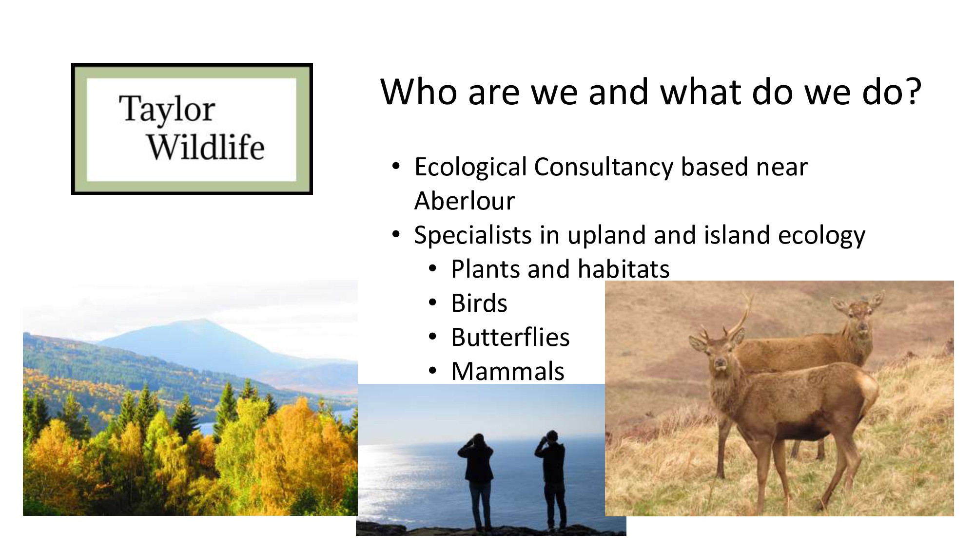
  2. Who are we and what do we do? • Ecological

    Consultancy based near Aberlour • Specialists in upland and island ecology • Plants and habitats • Birds • Butterflies • Mammals
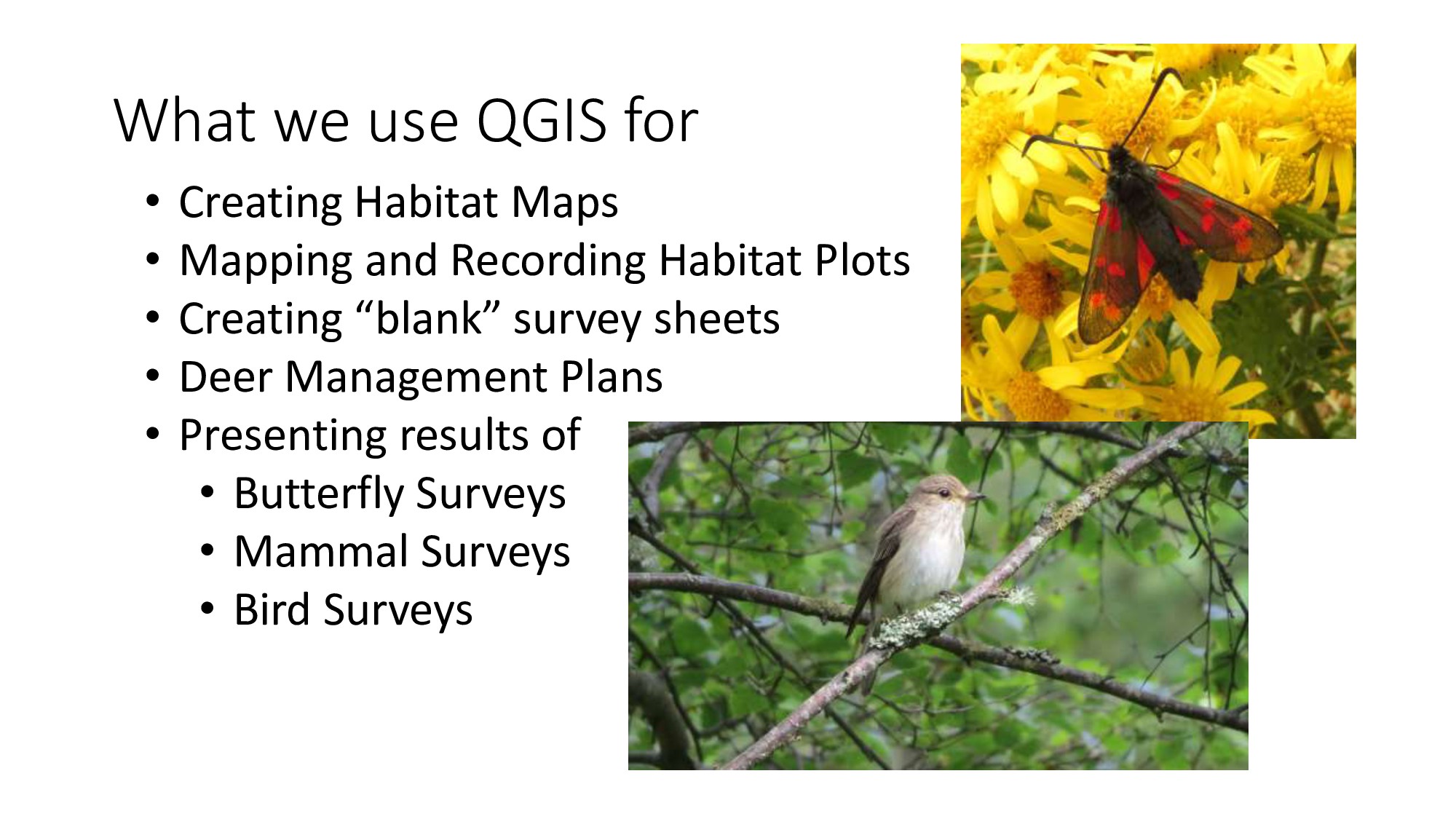
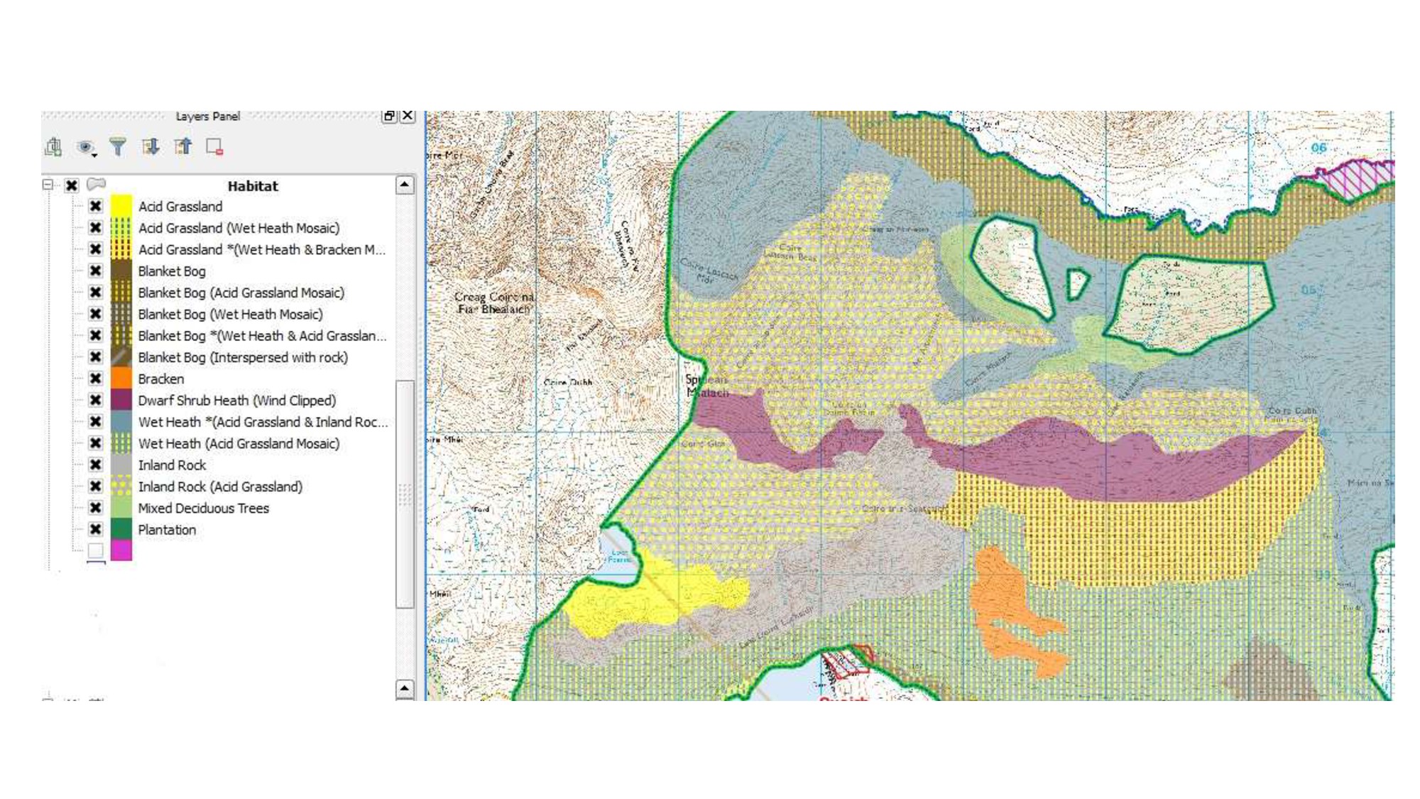
  3. What we use QGIS for • Creating Habitat Maps •

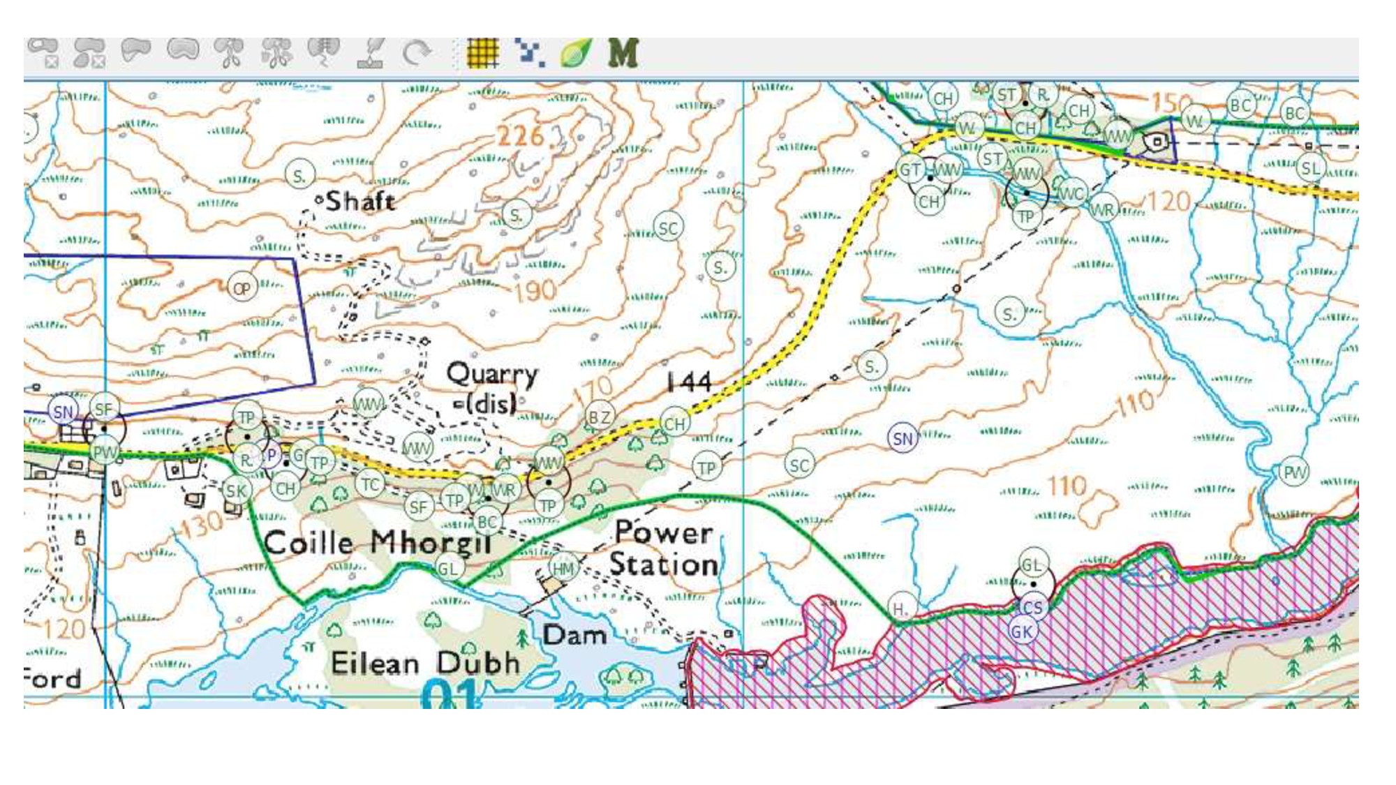
    Mapping and Recording Habitat Plots • Creating “blank” survey sheets • Deer Management Plans • Presenting results of • Butterfly Surveys • Mammal Surveys • Bird Surveys
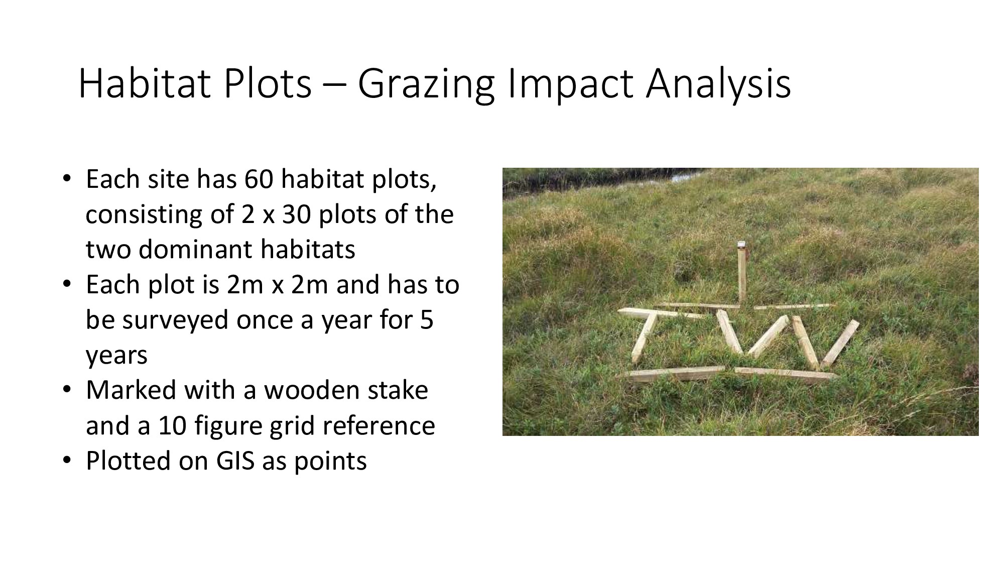
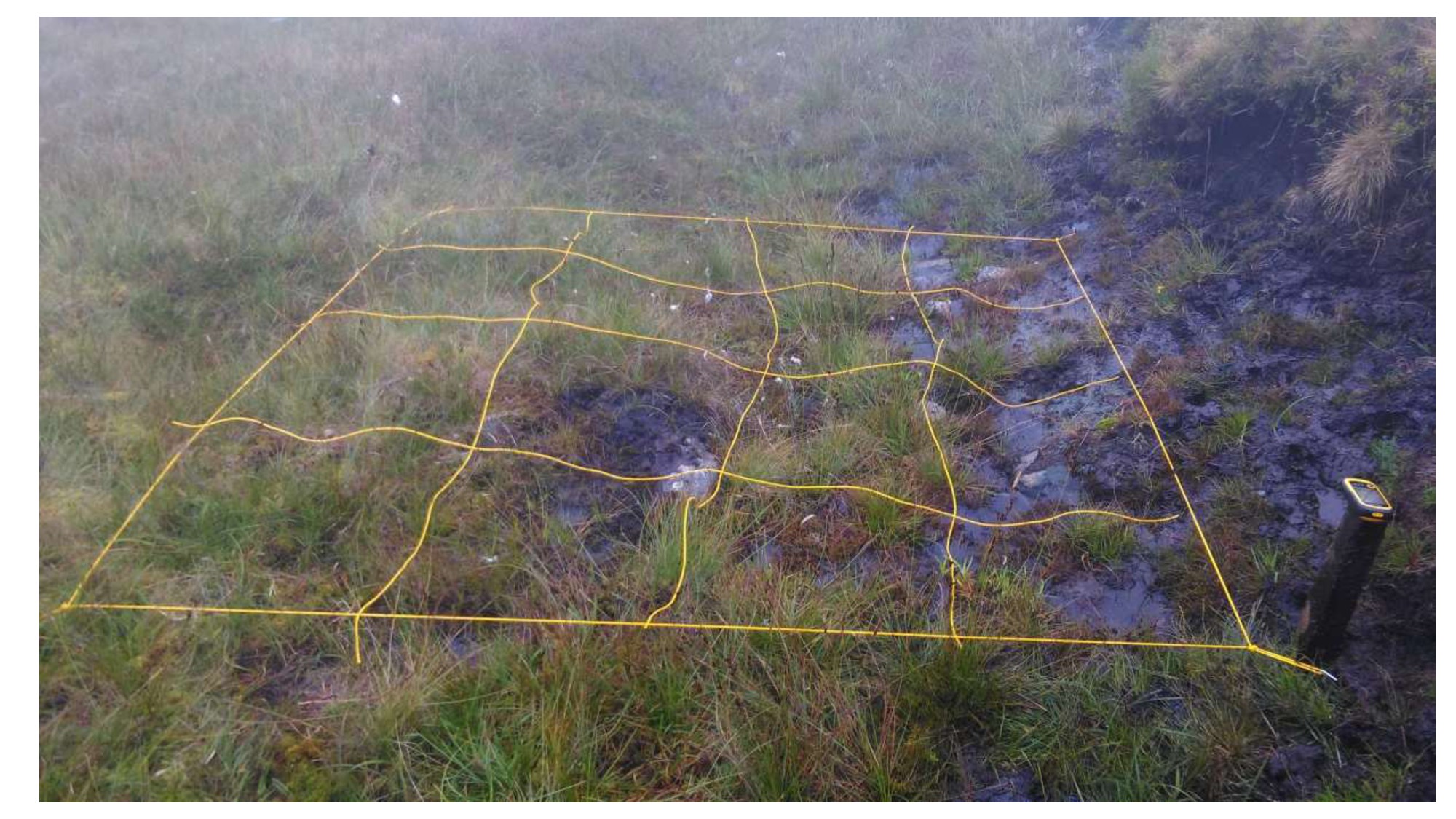
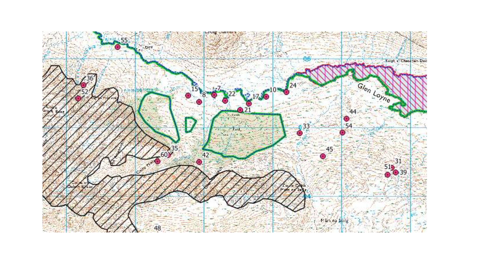
  4. Habitat Plots – Grazing Impact Analysis • Each site has

    60 habitat plots, consisting of 2 x 30 plots of the two dominant habitats • Each plot is 2m x 2m and has to be surveyed once a year for 5 years • Marked with a wooden stake and a 10 figure grid reference • Plotted on GIS as points
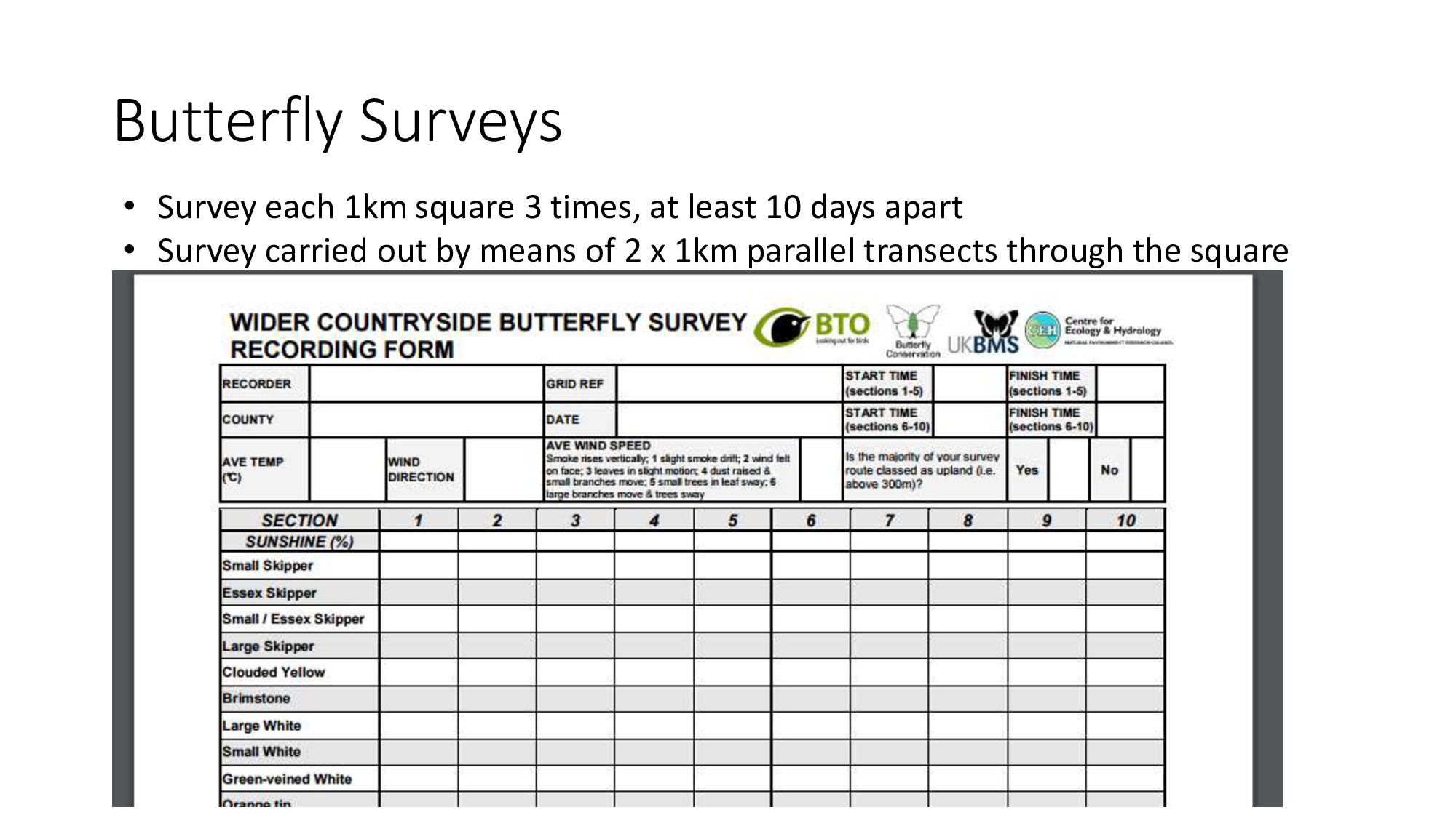
  5. Butterfly Surveys • Survey each 1km square 3 times, at

    least 10 days apart • Survey carried out by means of 2 x 1km parallel transects through the square
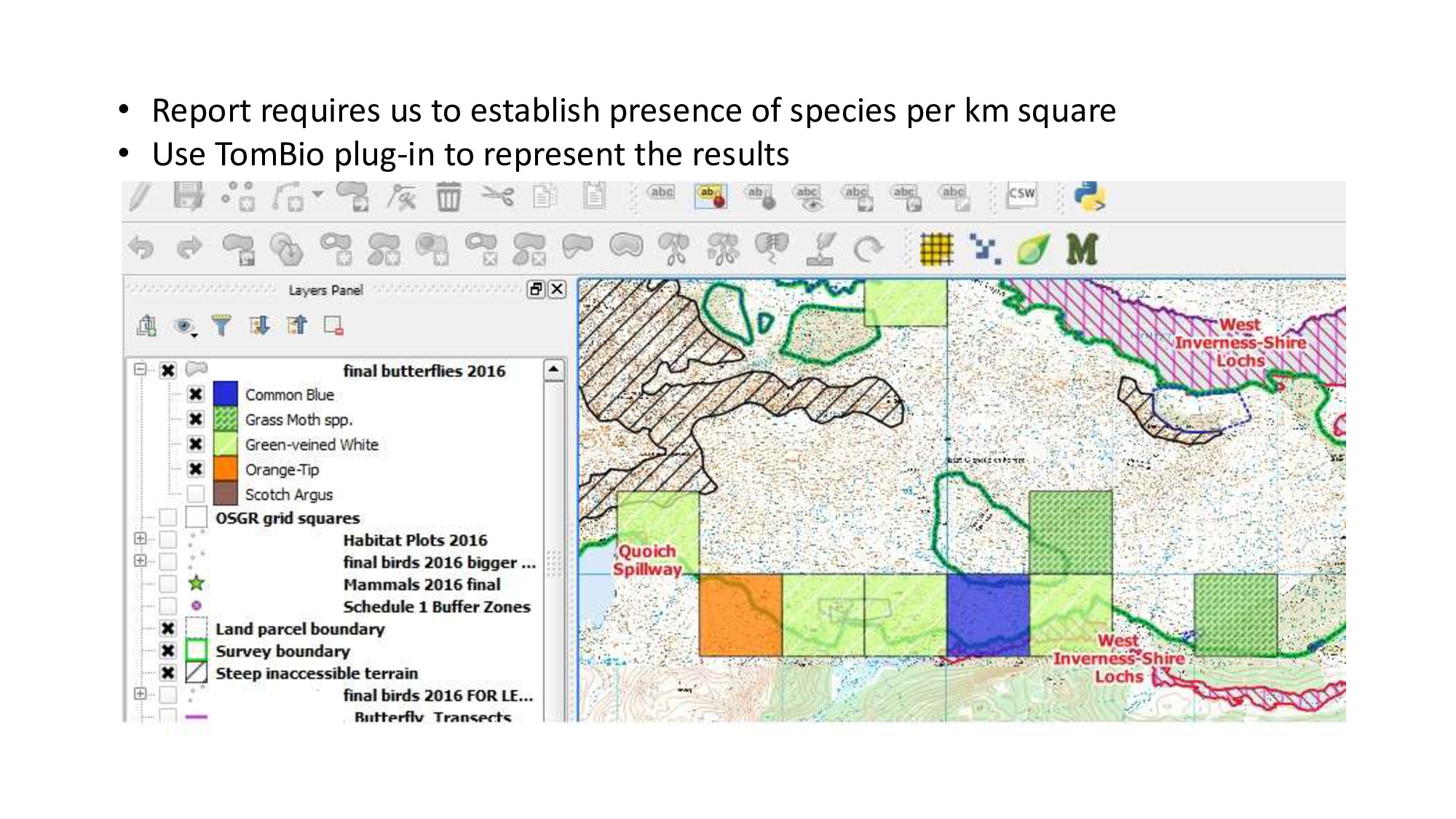
  6. • Report requires us to establish presence of species per

    km square • Use TomBio plug-in to represent the results
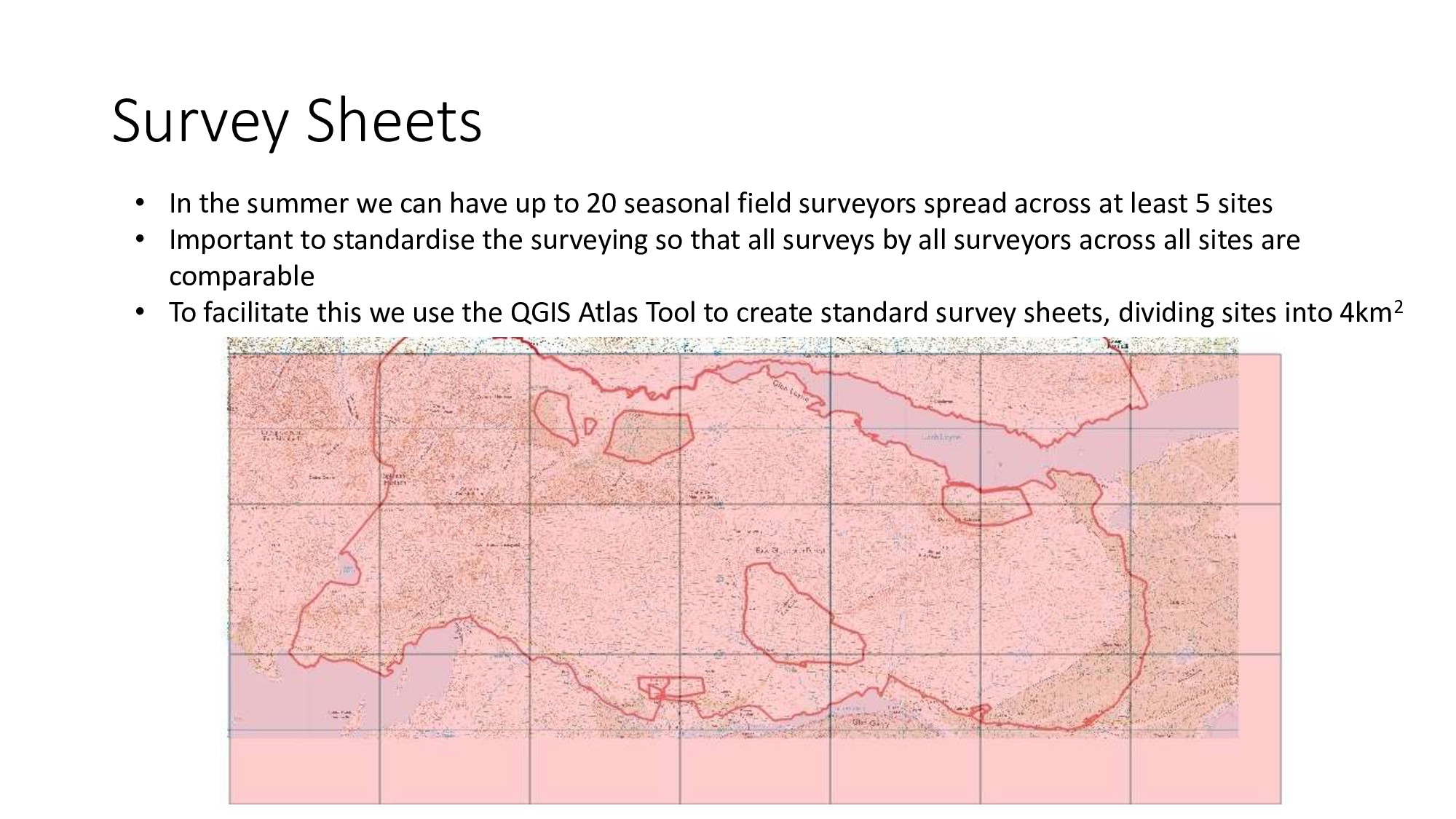
  7. Survey Sheets • In the summer we can have up

    to 20 seasonal field surveyors spread across at least 5 sites • Important to standardise the surveying so that all surveys by all surveyors across all sites are comparable • To facilitate this we use the QGIS Atlas Tool to create standard survey sheets, dividing sites into 4km2
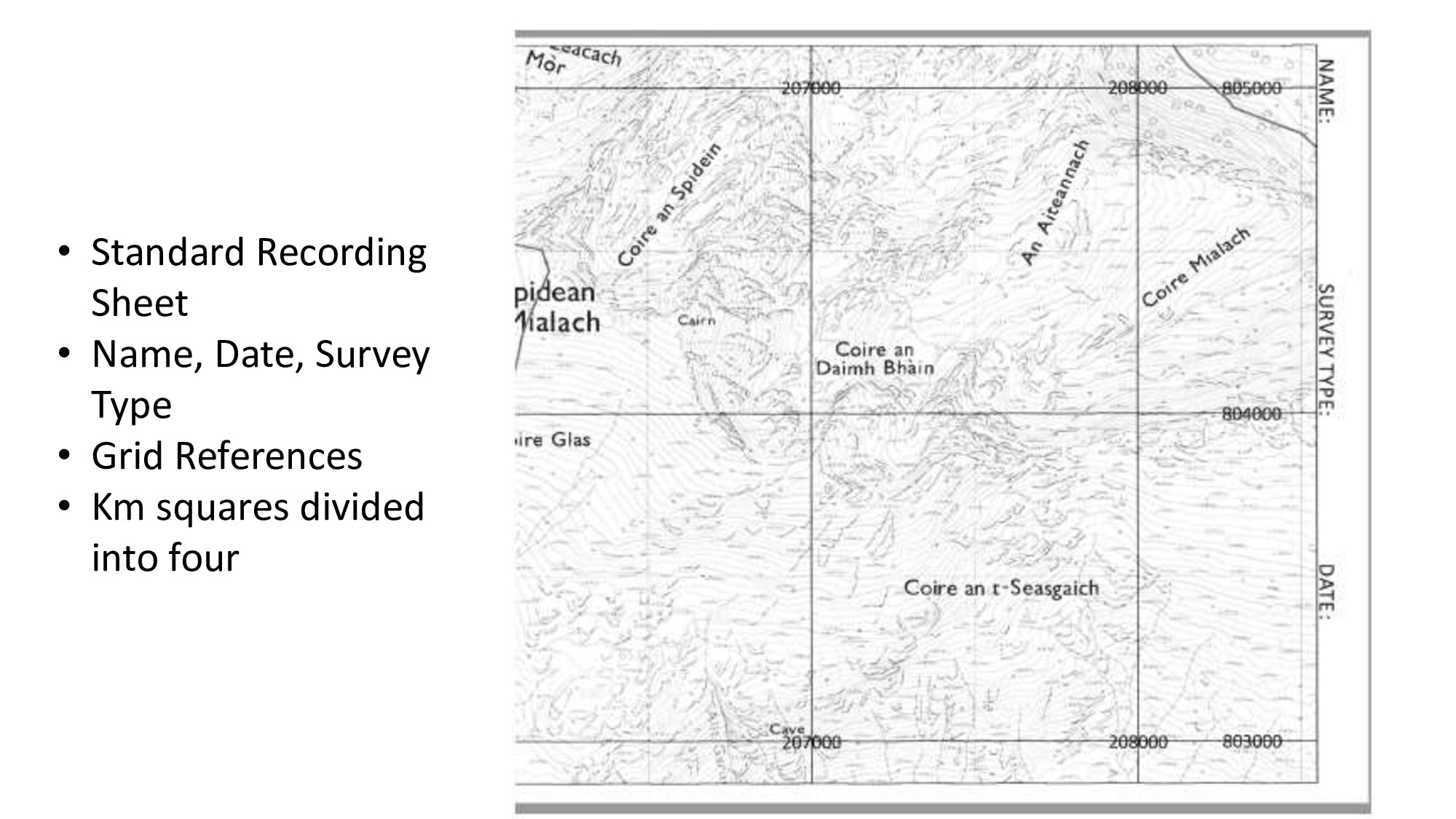
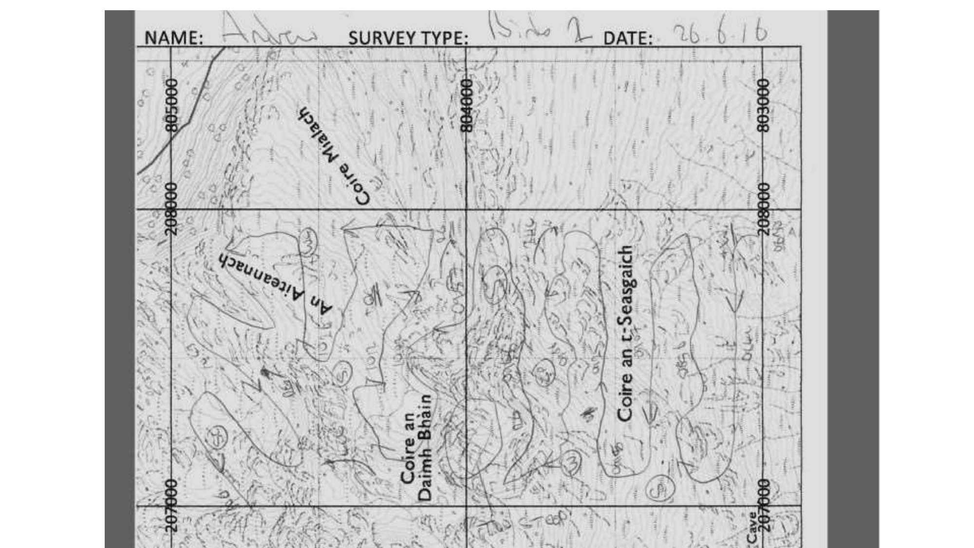
  8. • Standard Recording Sheet • Name, Date, Survey Type •

    Grid References • Km squares divided into four
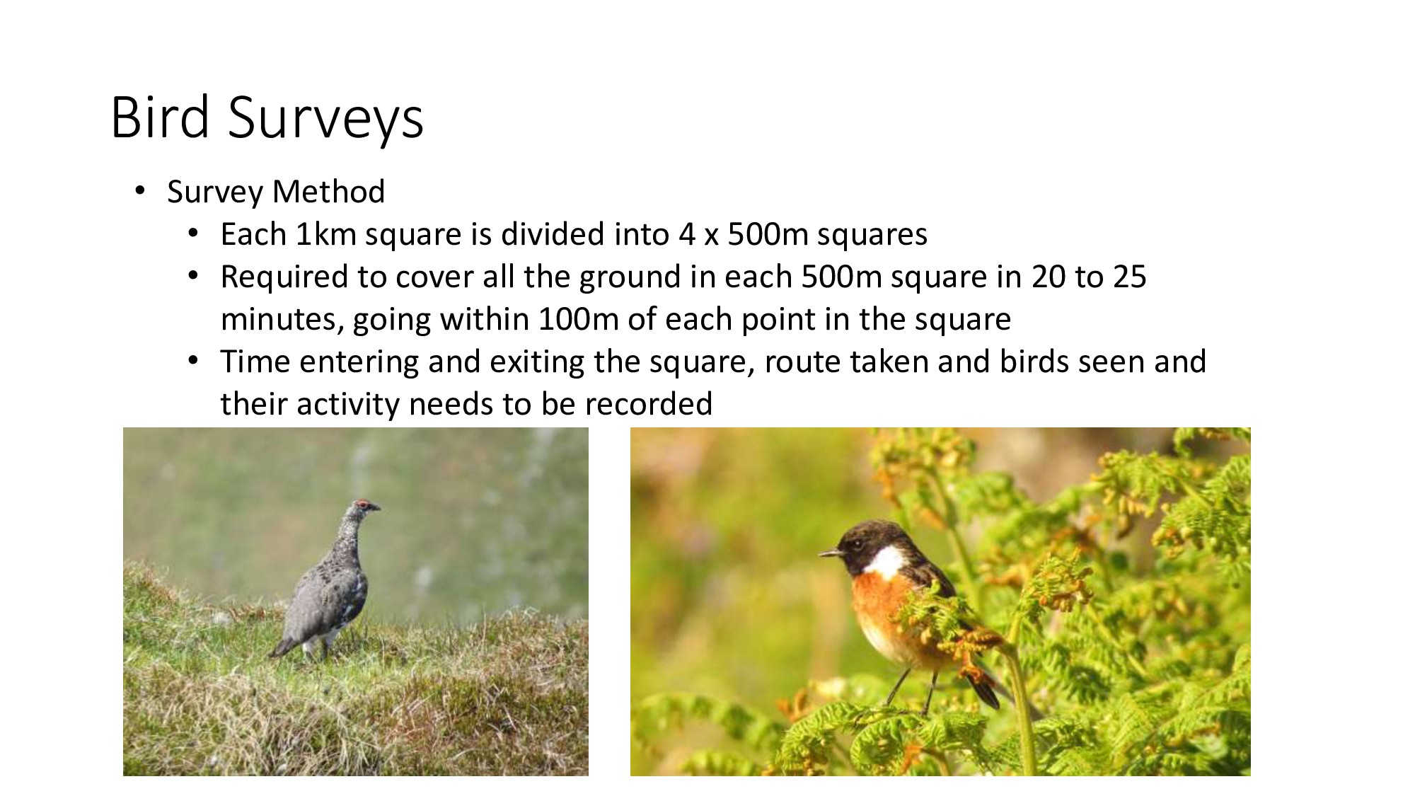
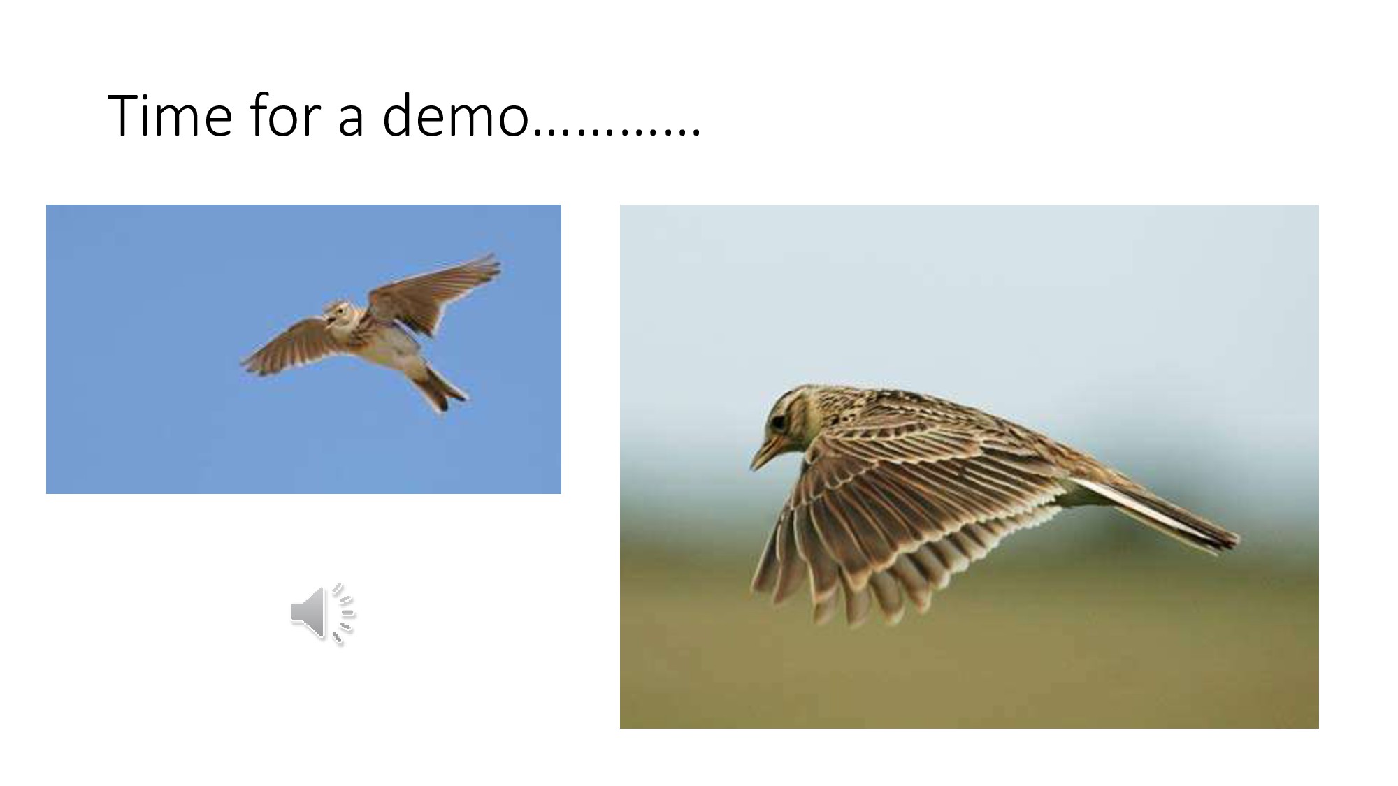
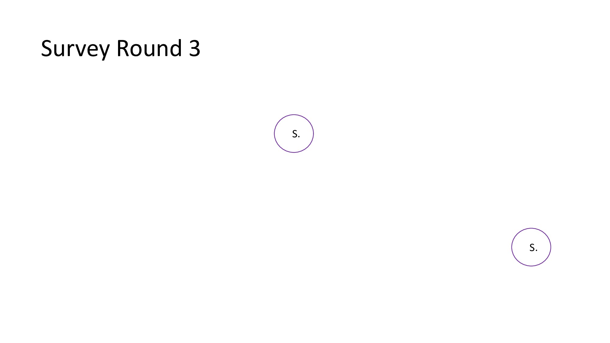
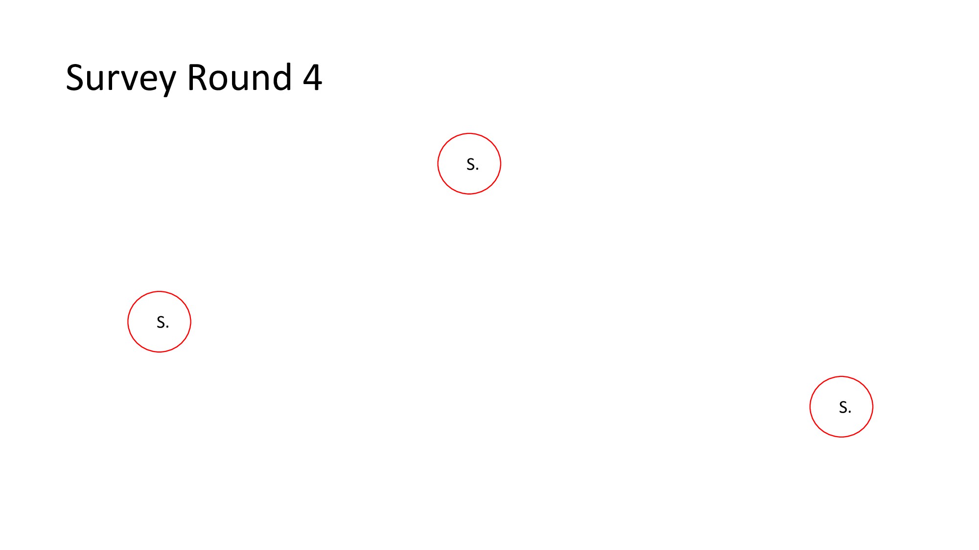
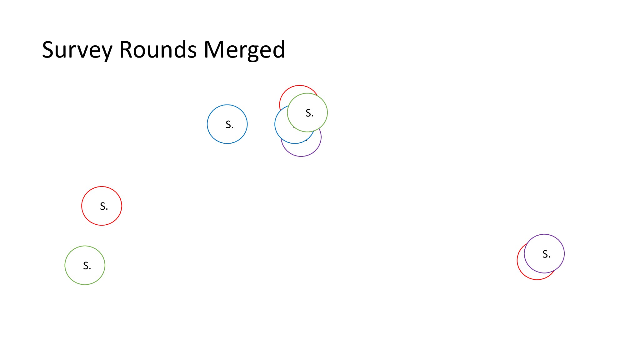
  9. Bird Surveys • Survey Method • Each 1km square is

    divided into 4 x 500m squares • Required to cover all the ground in each 500m square in 20 to 25 minutes, going within 100m of each point in the square • Time entering and exiting the square, route taken and birds seen and their activity needs to be recorded
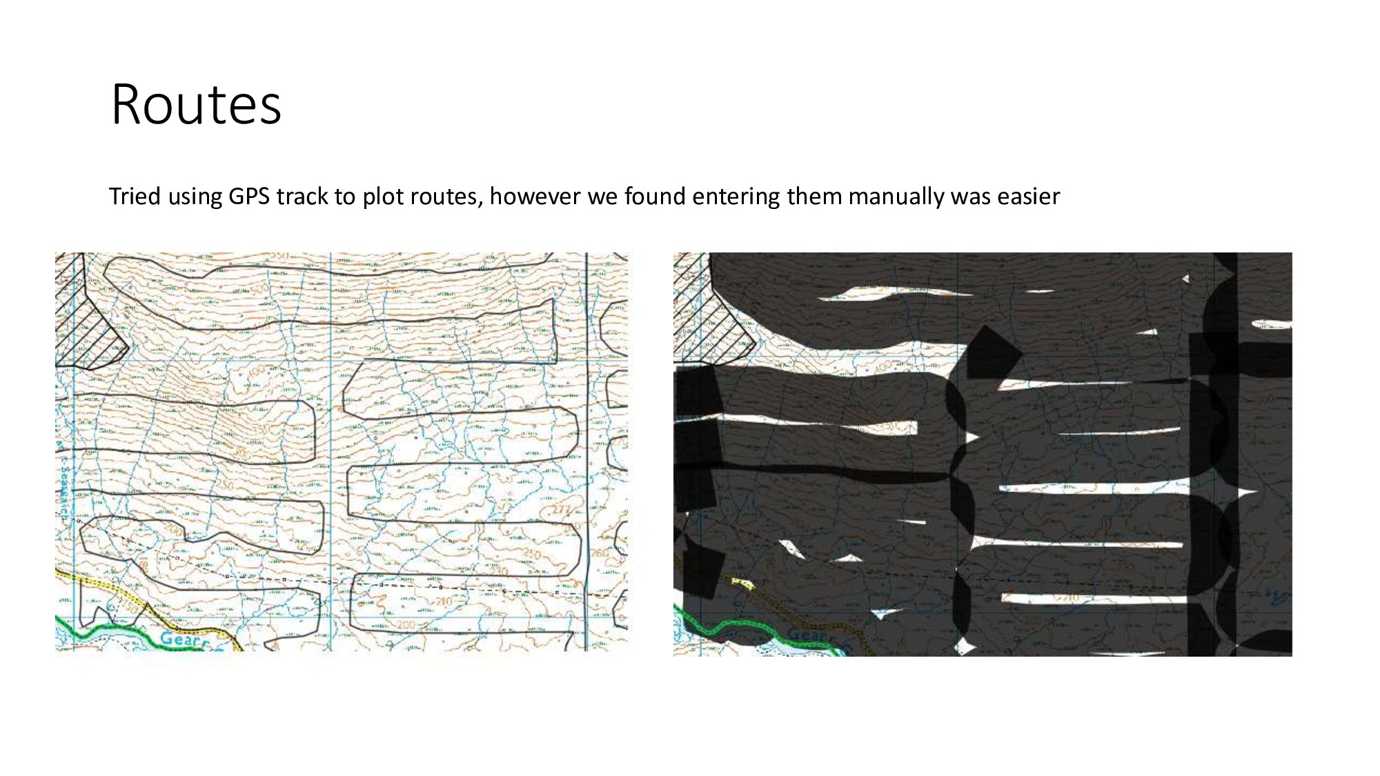
  10. Routes Tried using GPS track to plot routes, however we

    found entering them manually was easier
  11. Summary • Quite new to QGIS and haven’t fully exploited

    its potential • Knowing how QGIS works means we can tailor our fieldwork to make sure we collect and record the correct data • Excellent tool for presenting our data (with lots of help from Amy at Cawdor Forestry)