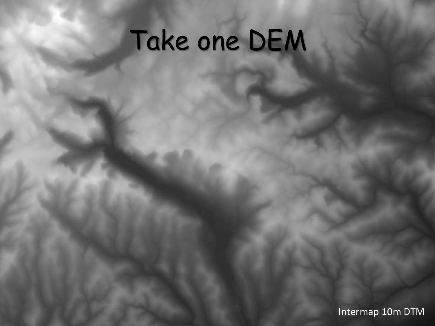
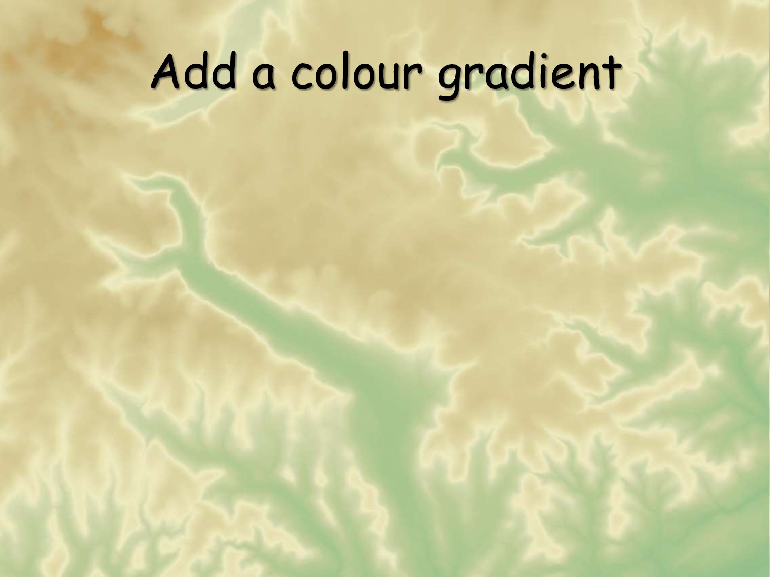
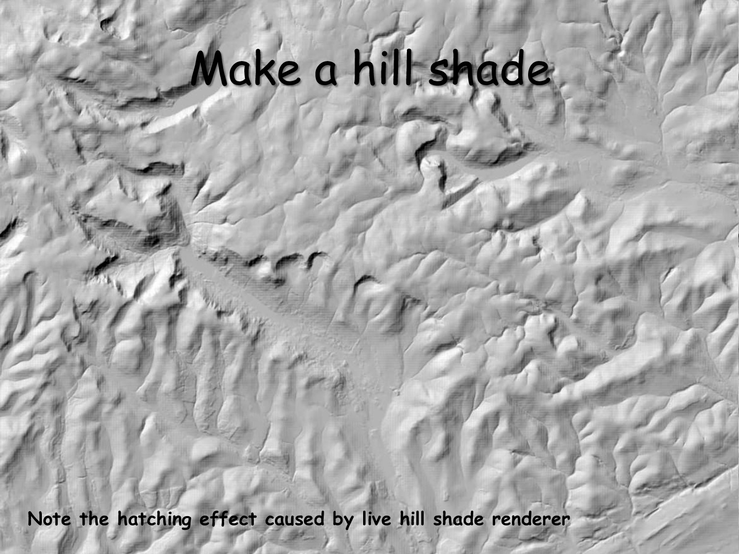
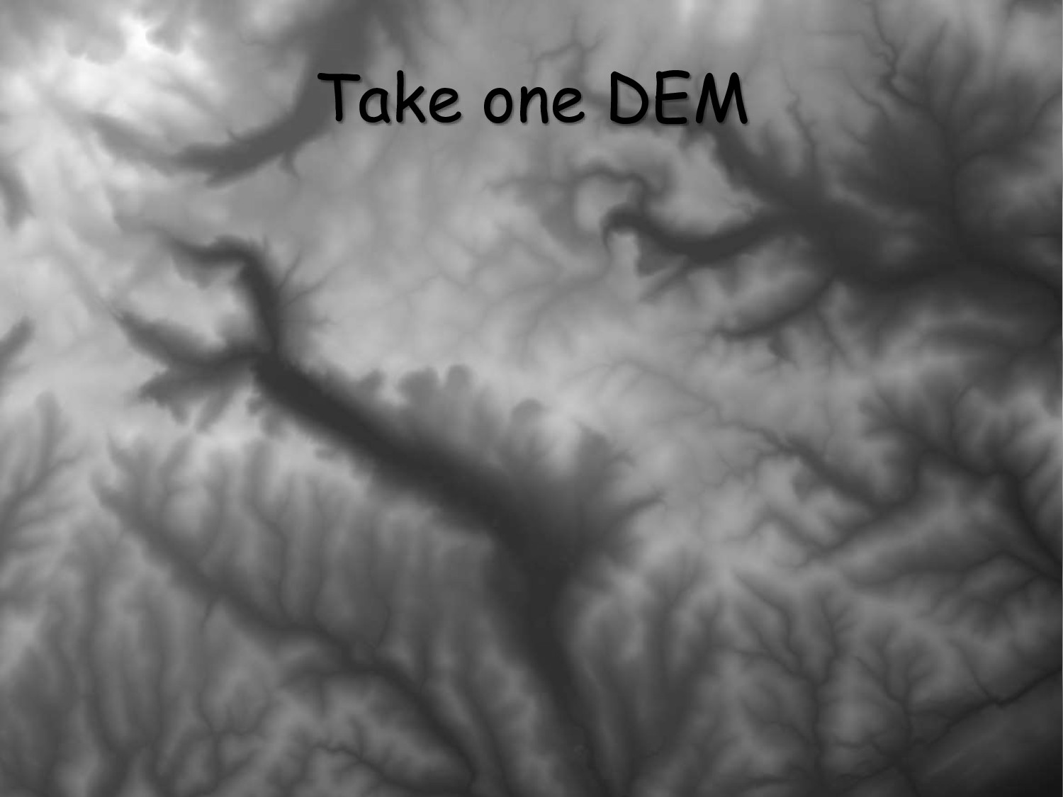
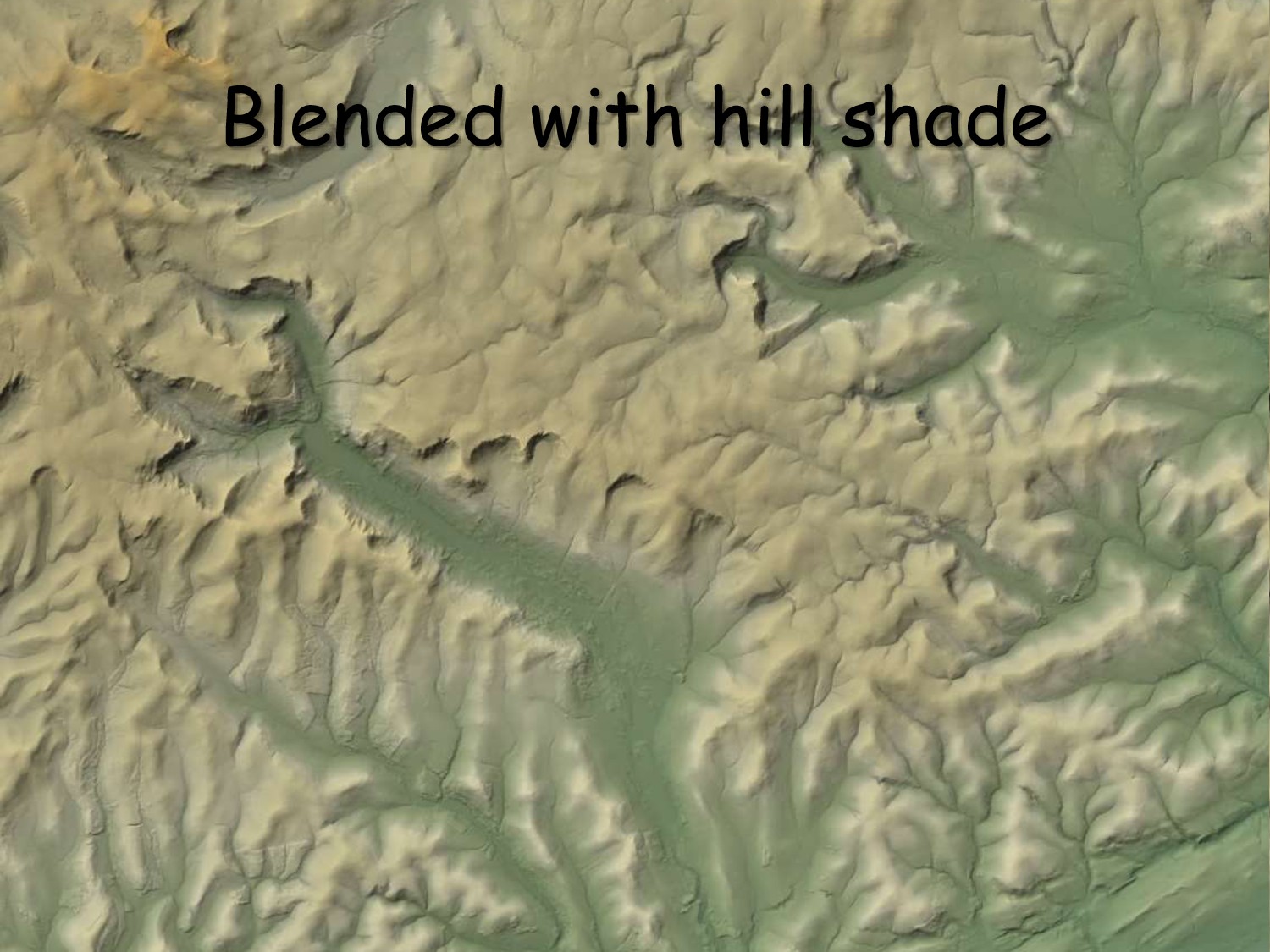
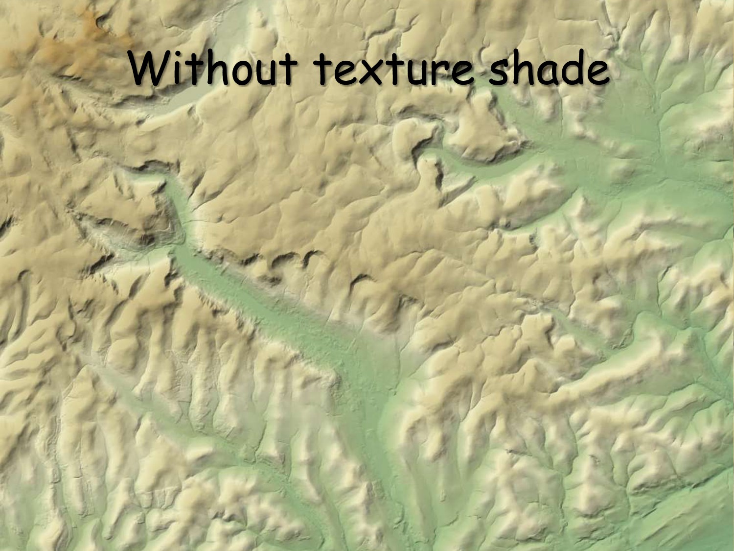
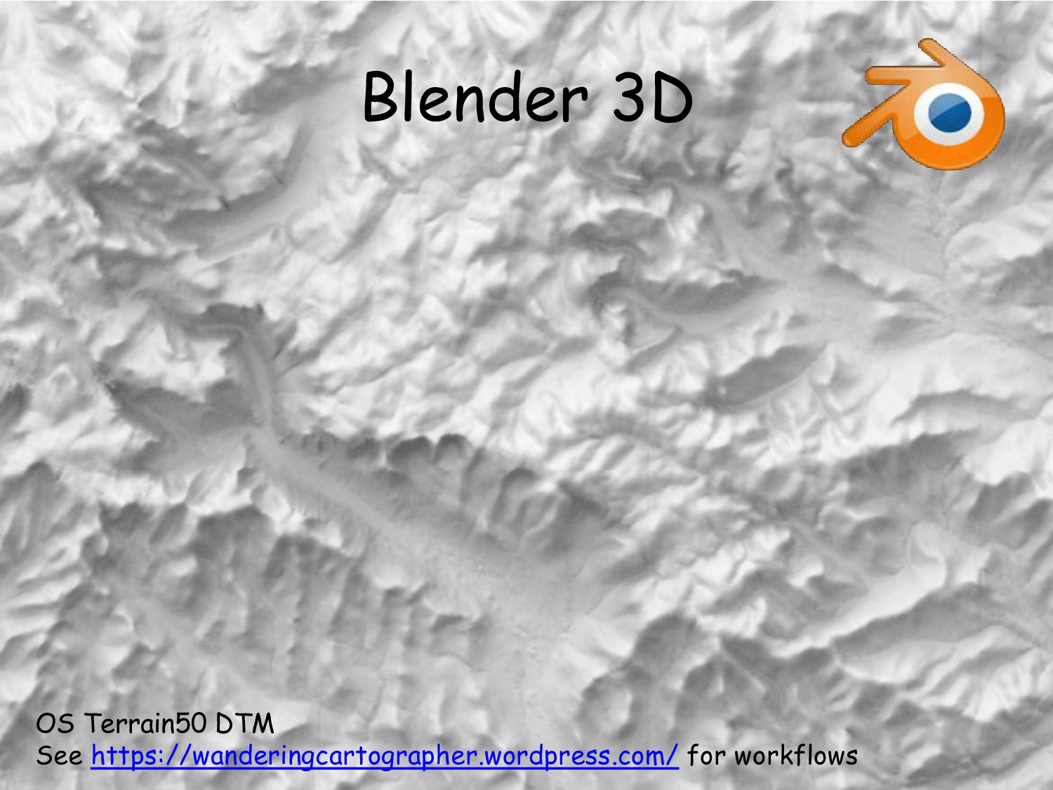
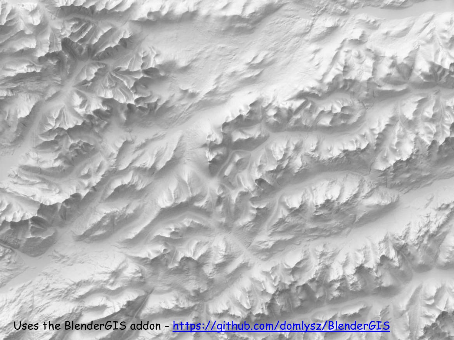
Ross McDonald's presentation on different ways of rendering an elevation model as a hill shaded or texture shaded image. Presented at 6th Scottish QGIS UK user group meeting.
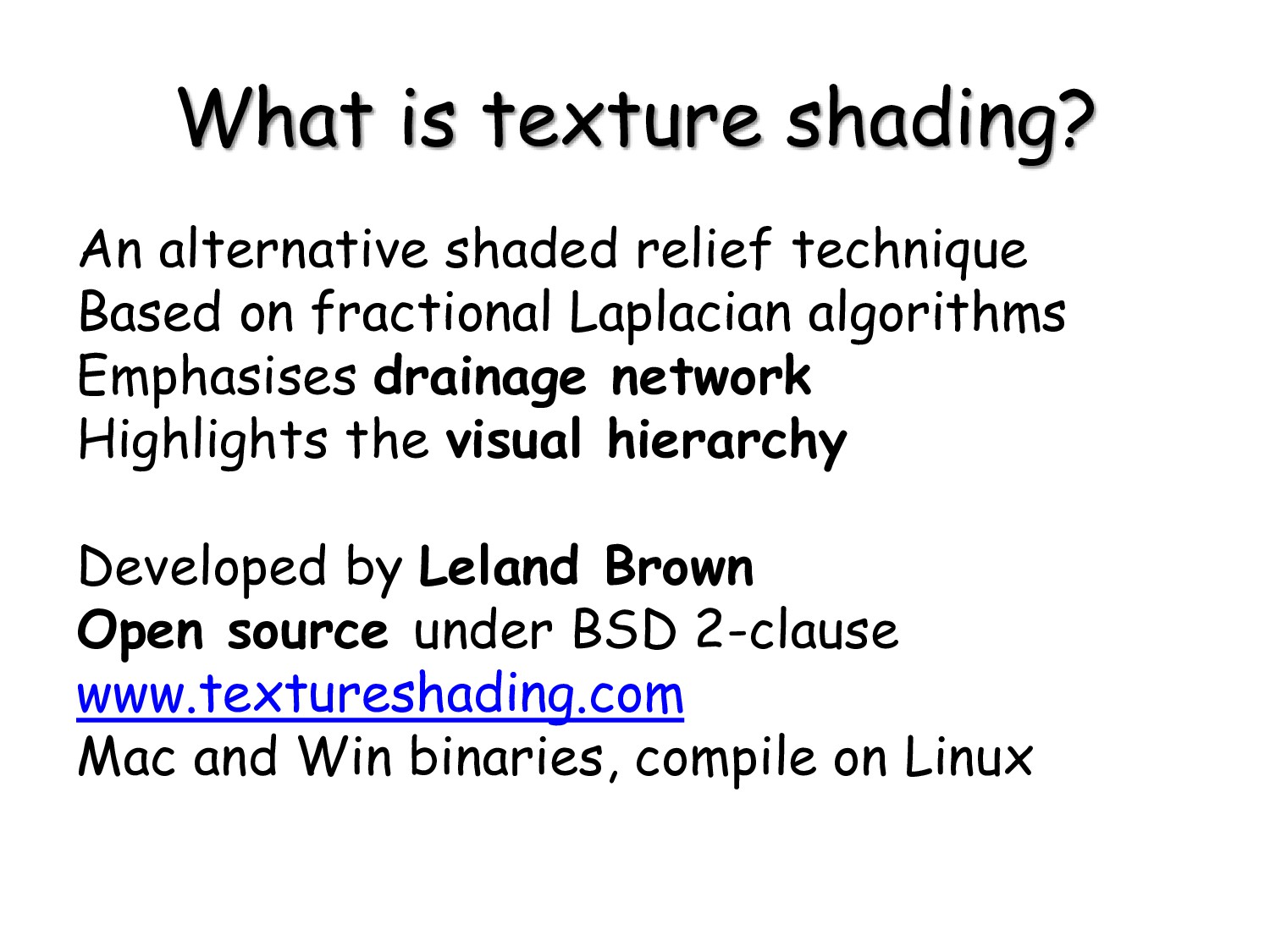
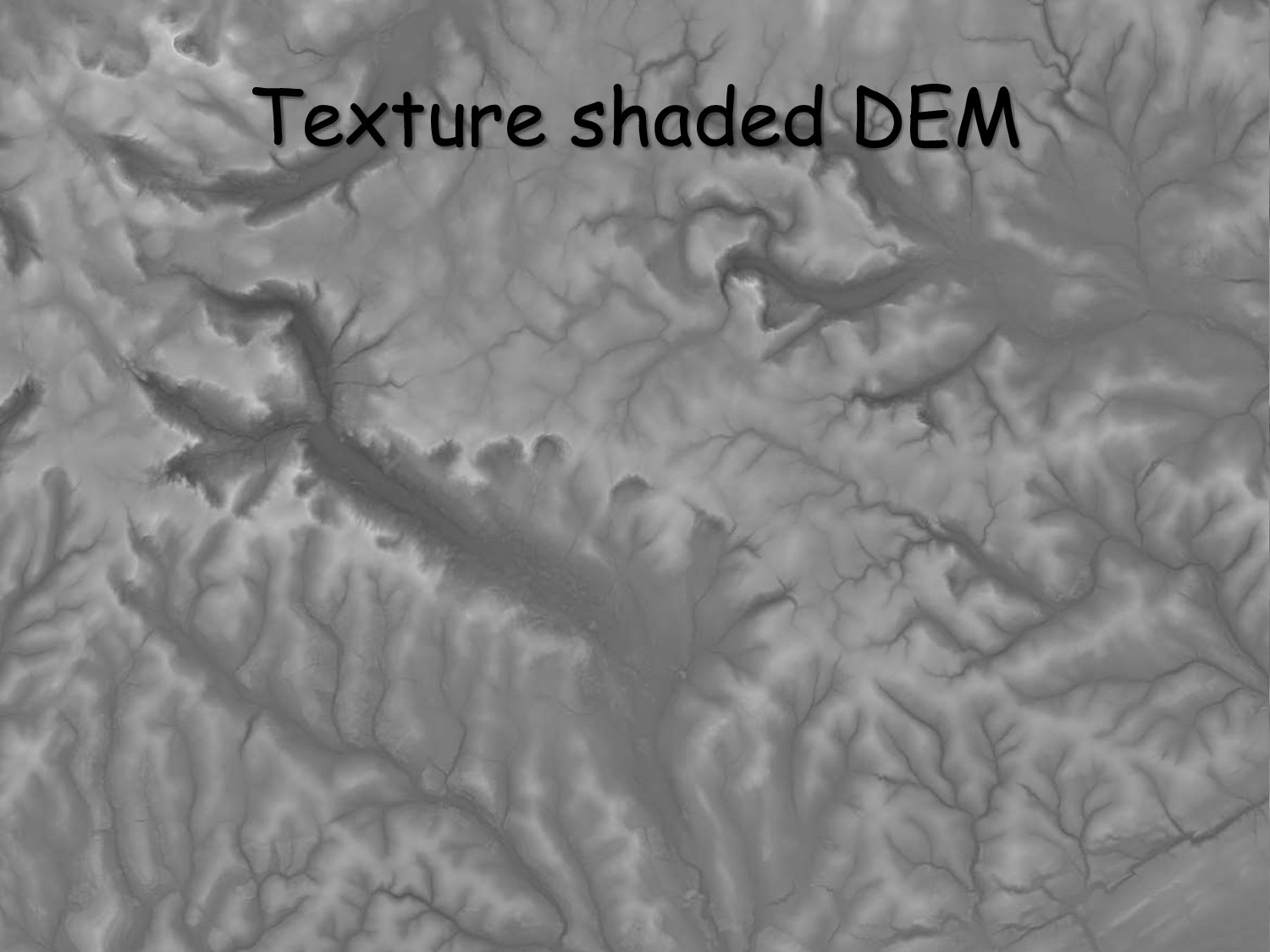
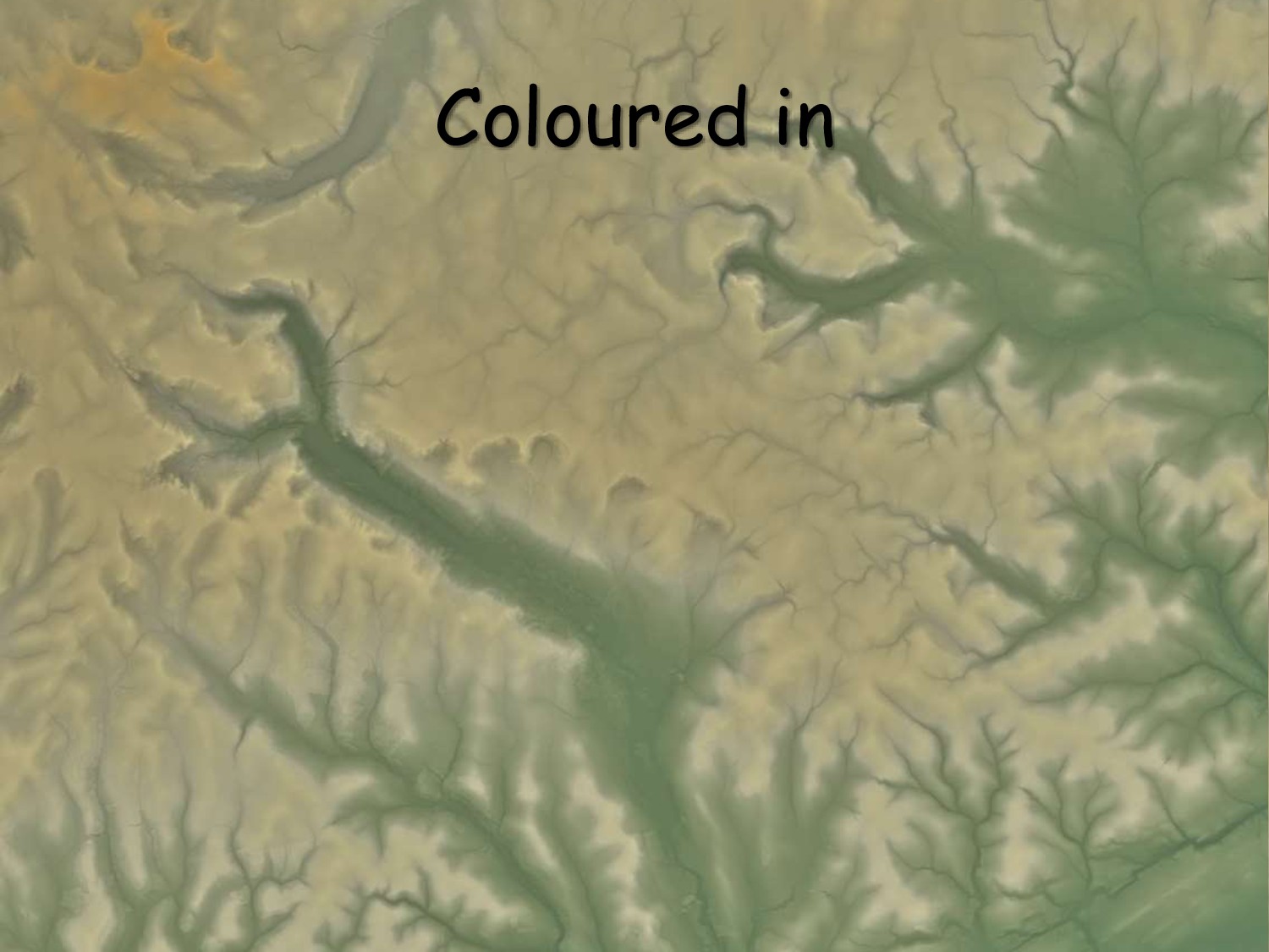
on fractional Laplacian algorithms Emphasises drainage network Highlights the visual hierarchy Developed by Leland Brown Open source under BSD 2-clause www.textureshading.com Mac and Win binaries, compile on Linux
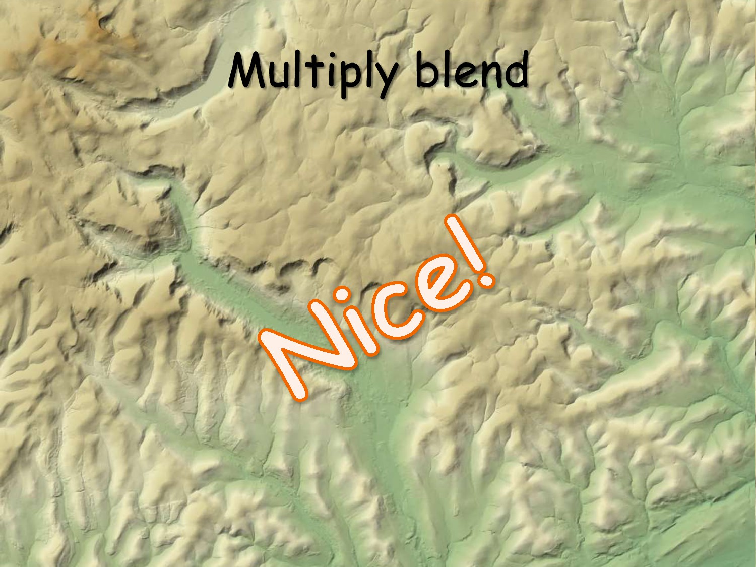
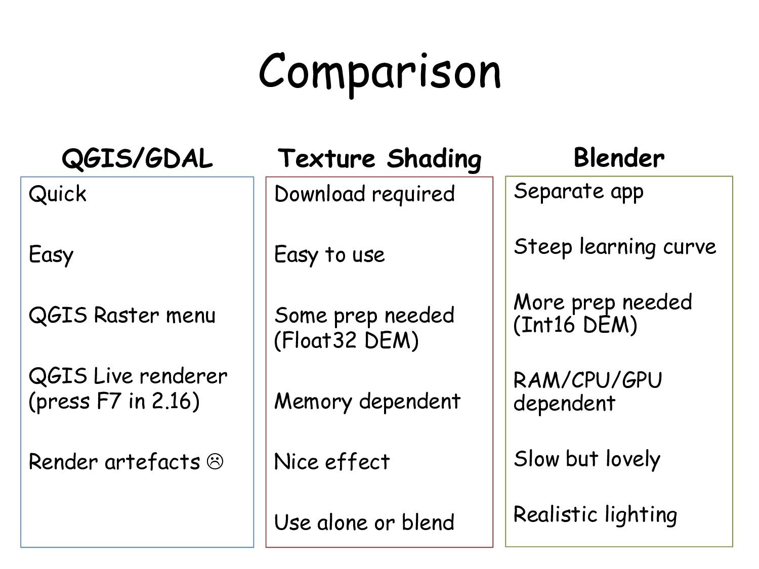
(press F7 in 2.16) Render artefacts Texture Shading Download required Easy to use Some prep needed (Float32 DEM) Memory dependent Nice effect Use alone or blend Blender Separate app Steep learning curve More prep needed (Int16 DEM) RAM/CPU/GPU dependent Slow but lovely Realistic lighting


 mixedbredie
 camiha
 greenmidori
 tetsuya28
 satomasahiro2005
 kentarofujii
 nealle
 kairim0
 kentapapa
 4o1sobblue
 nttcom
 colopl
 iktakahiro
 badams
 nmsamuel
 chriscoyier
 jonoalderson
 jakevdp
 mfonobong
 bluesmoon
 palkan
 tanoku
 soysaucechin
 varn
 destraynor