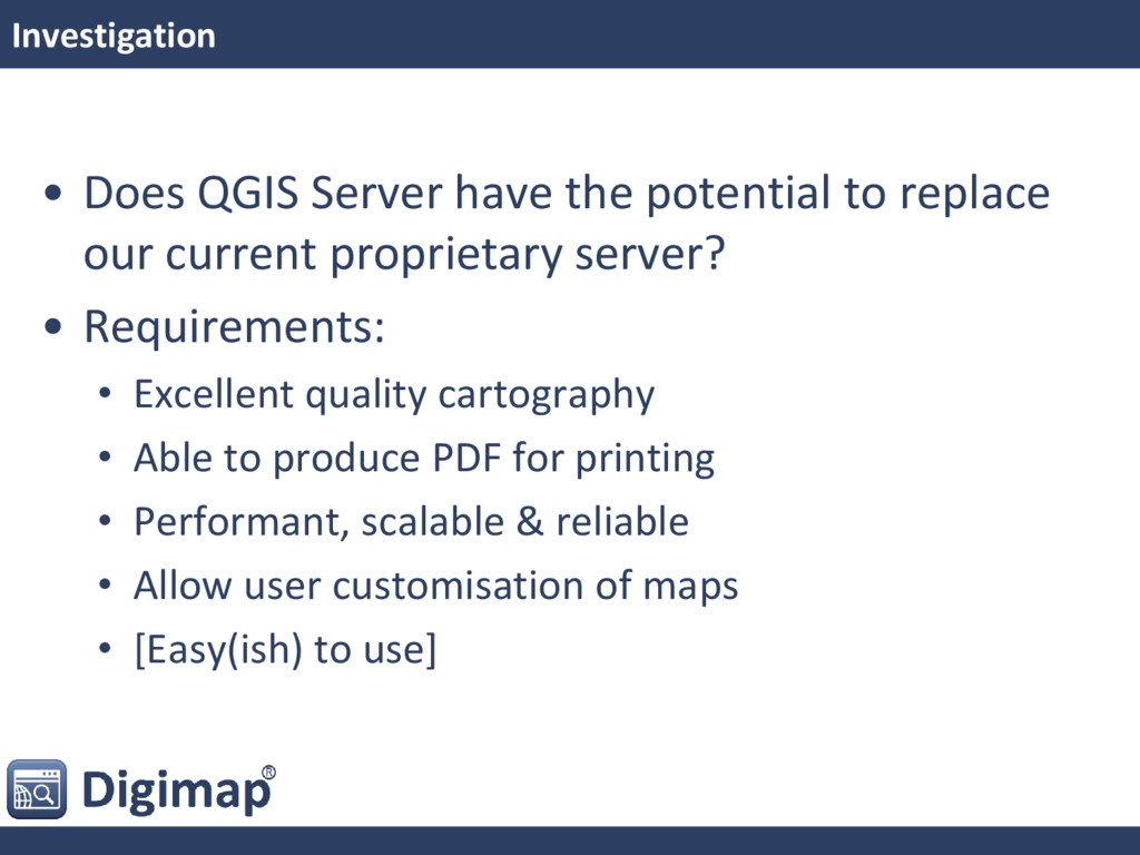
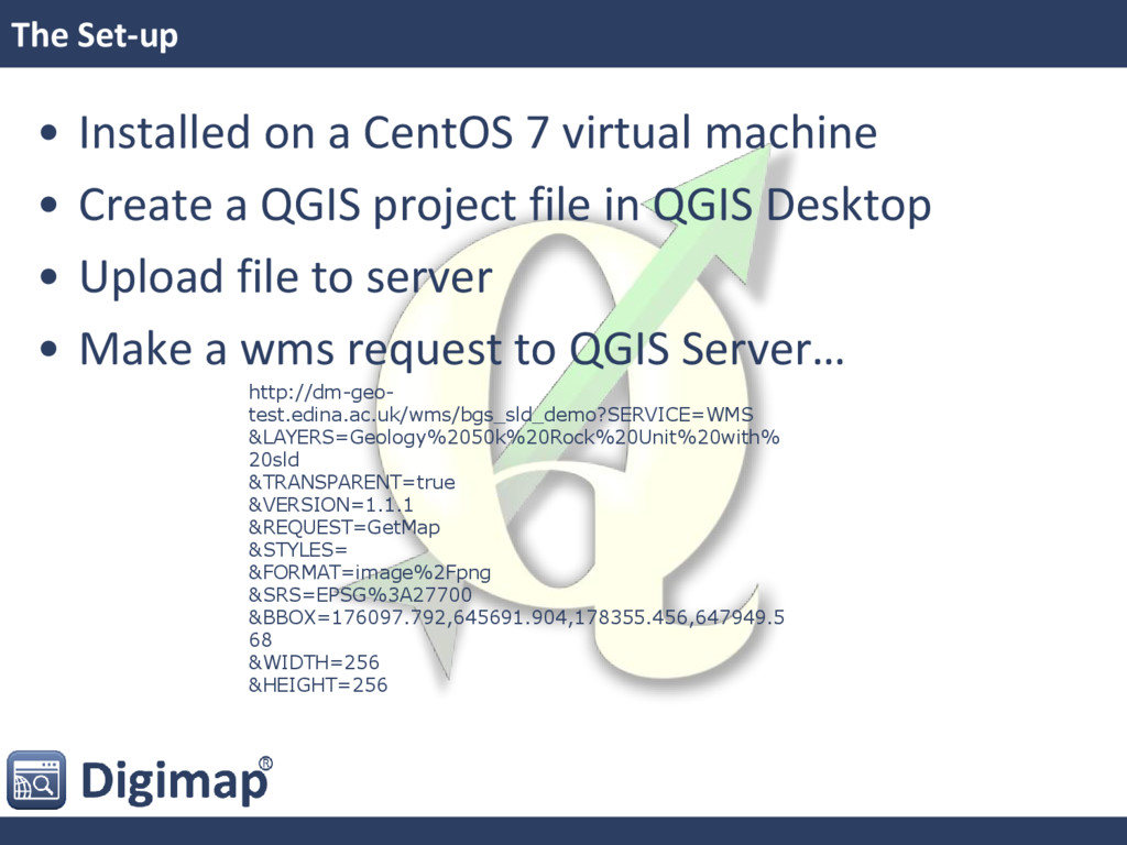
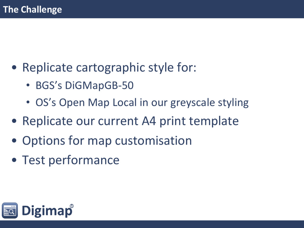
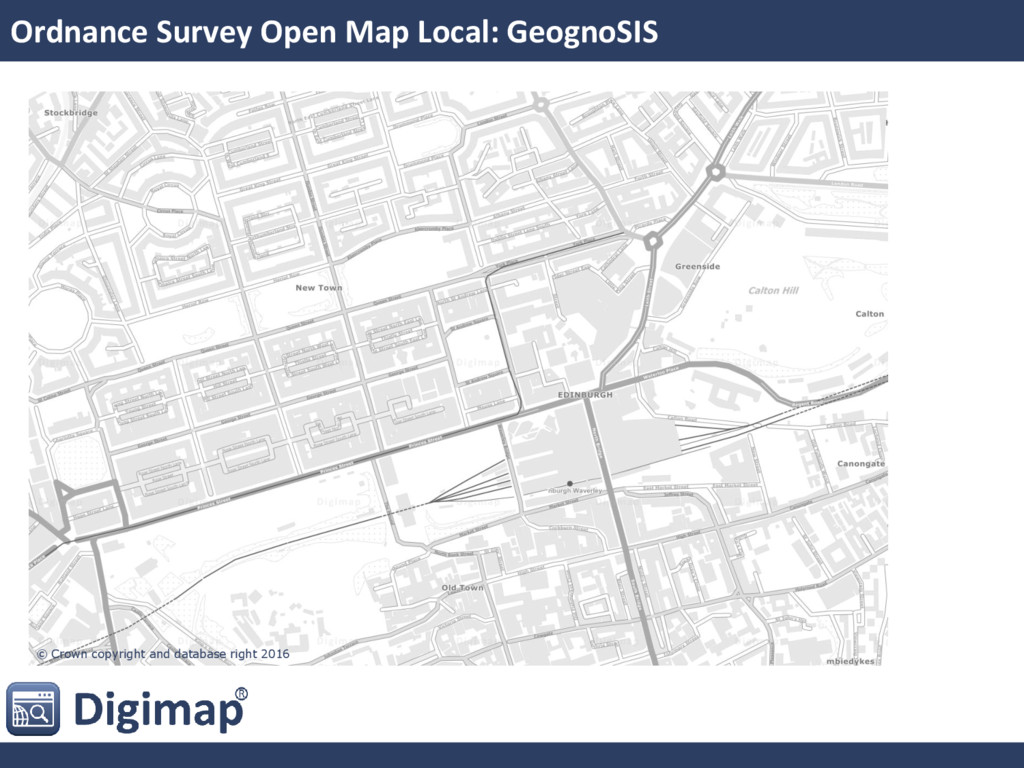
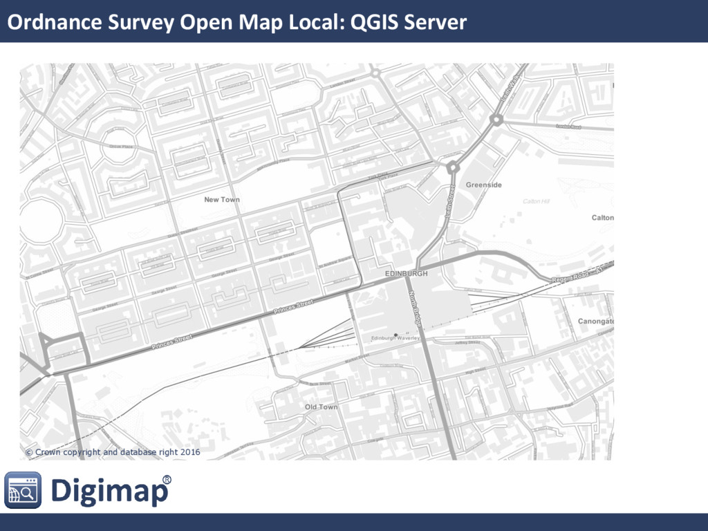
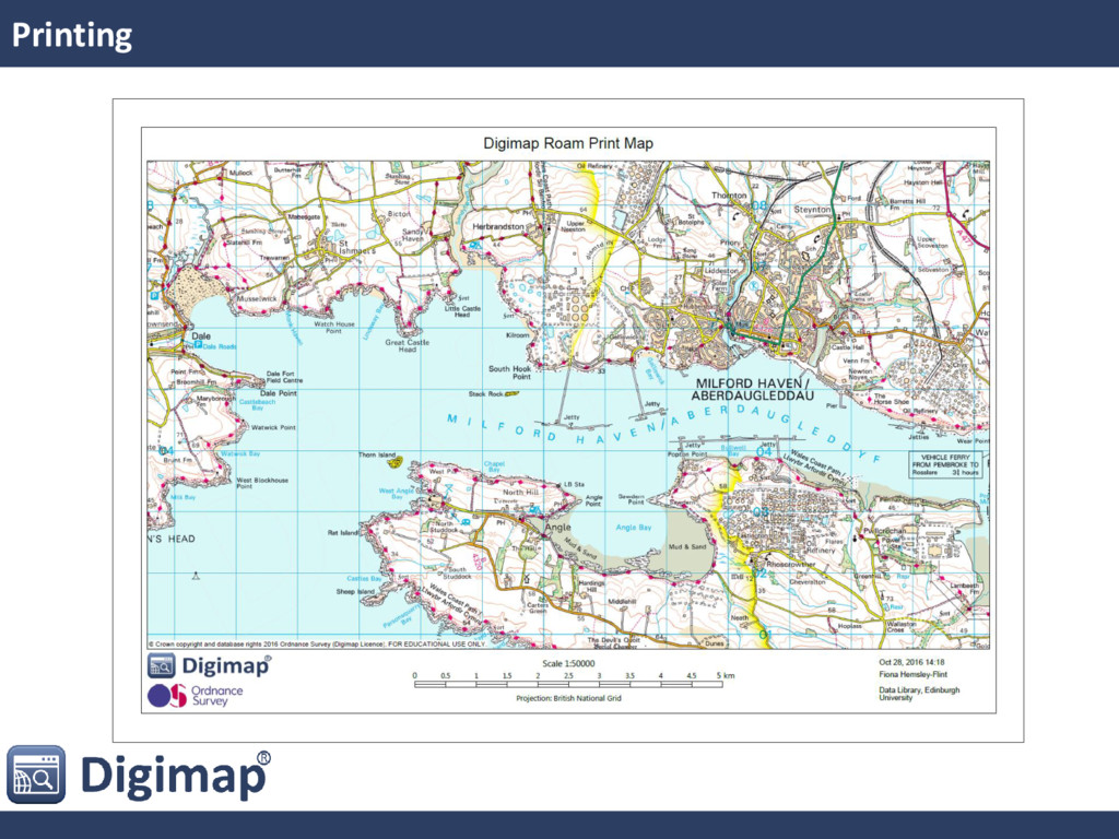
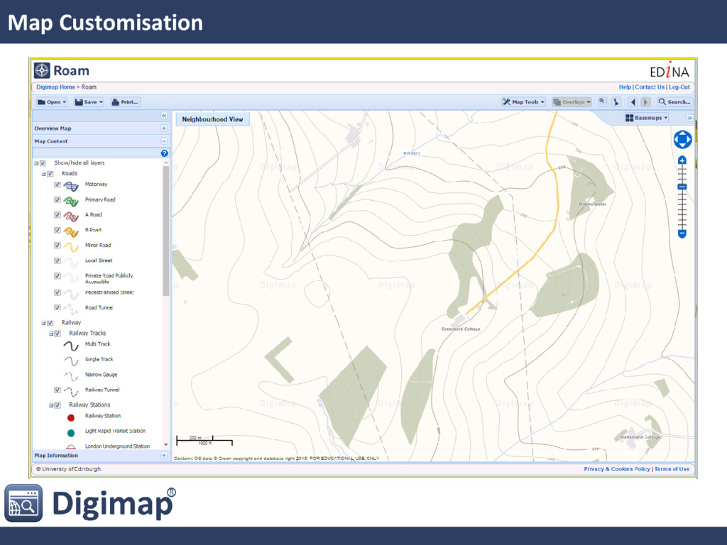
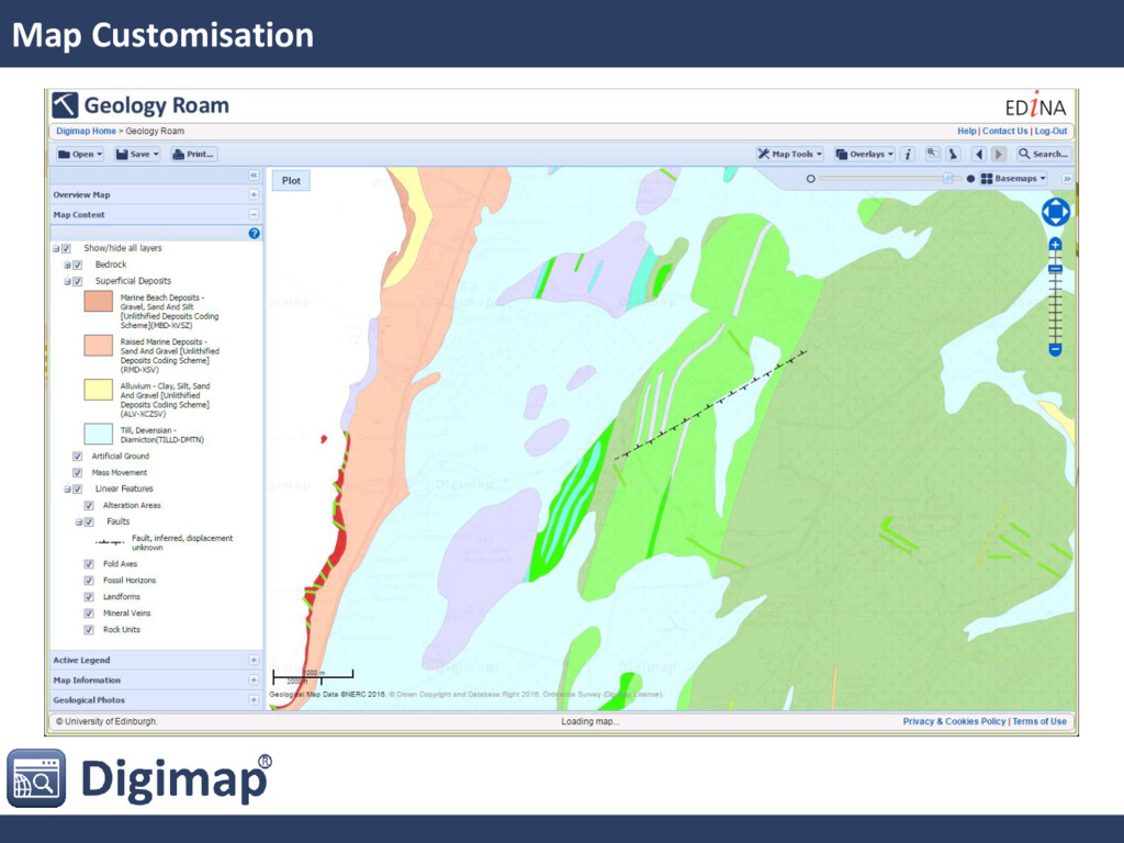
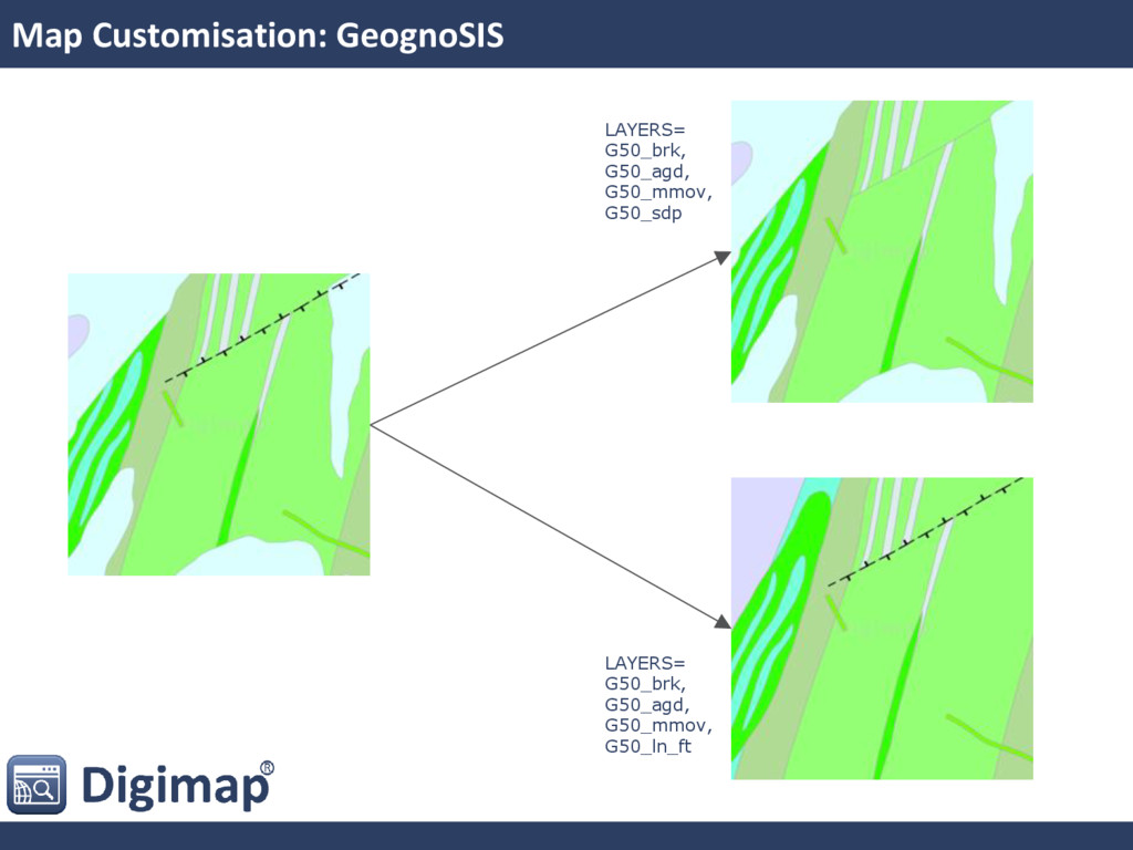
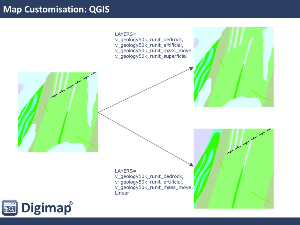
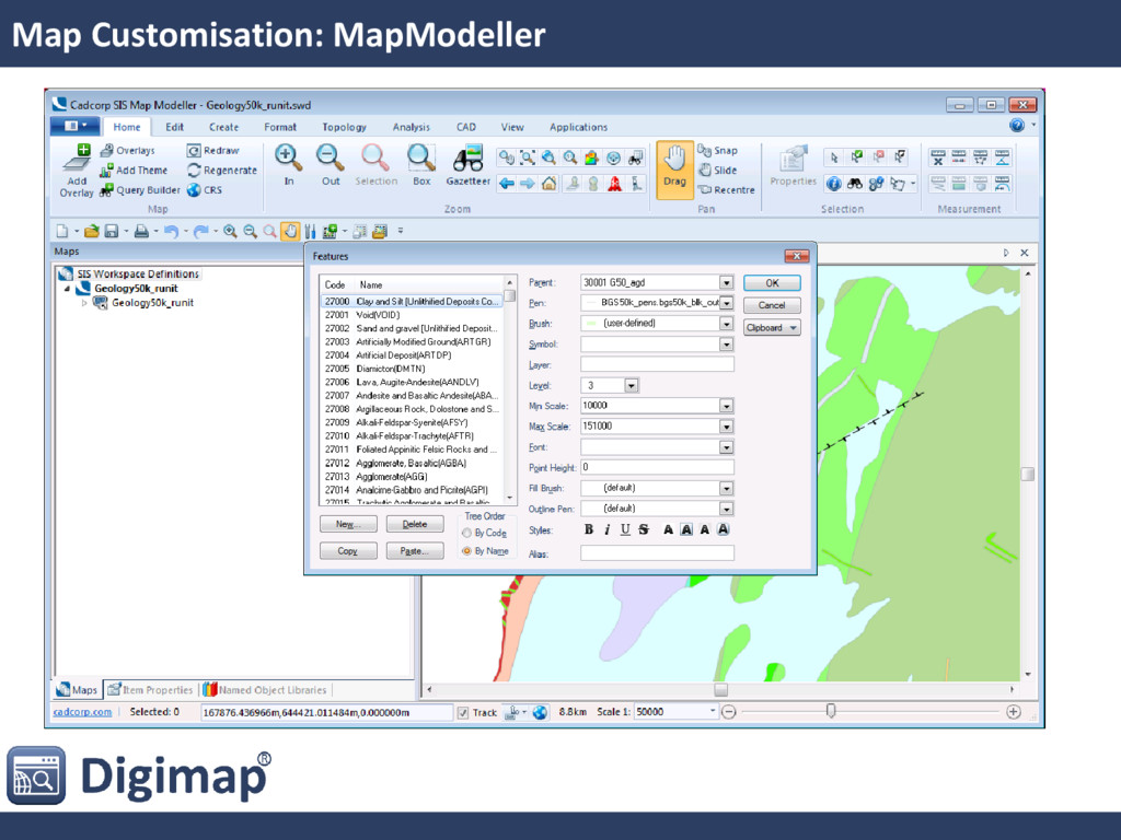
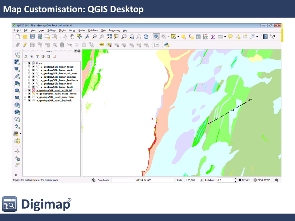
our current proprietary server? • Requirements: • Excellent quality cartography • Able to produce PDF for printing • Performant, scalable & reliable • Allow user customisation of maps • [Easy(ish) to use]
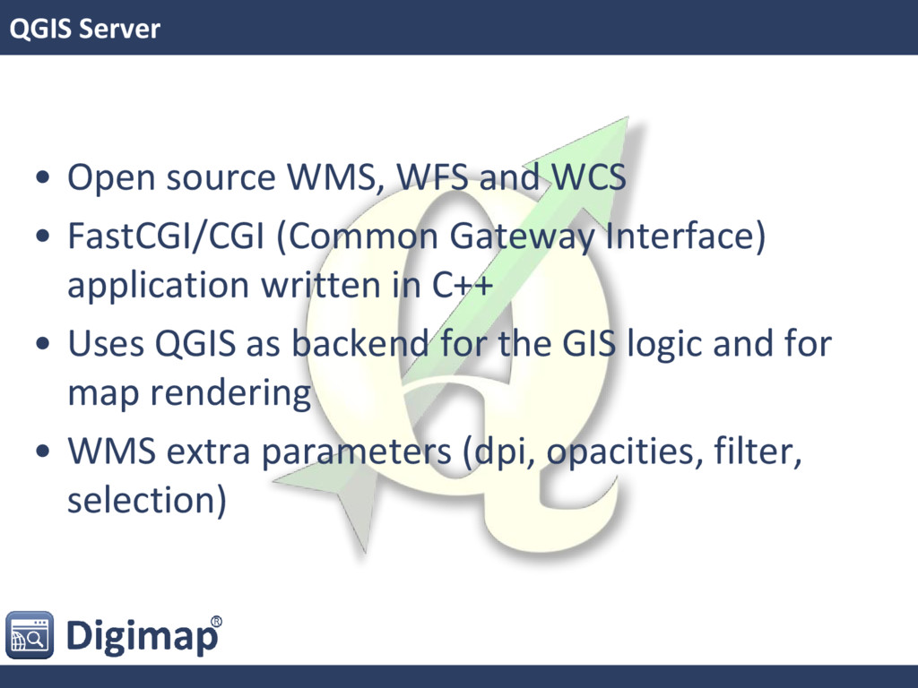
FastCGI/CGI (Common Gateway Interface) application written in C++ • Uses QGIS as backend for the GIS logic and for map rendering • WMS extra parameters (dpi, opacities, filter, selection)
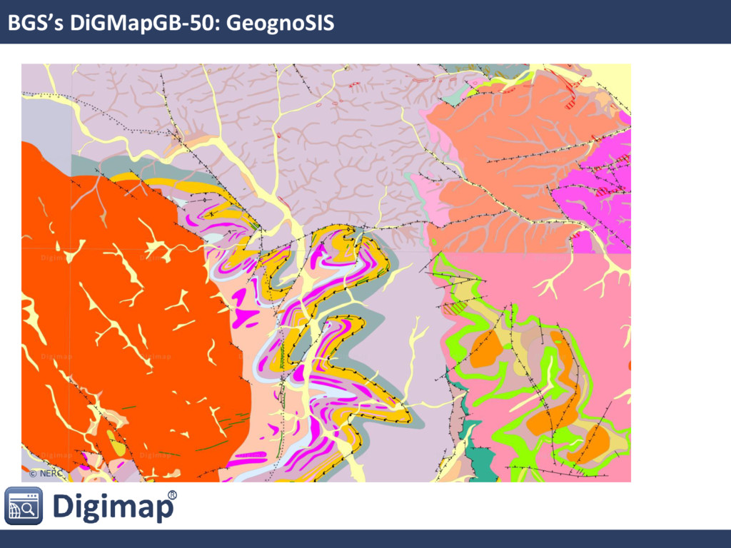
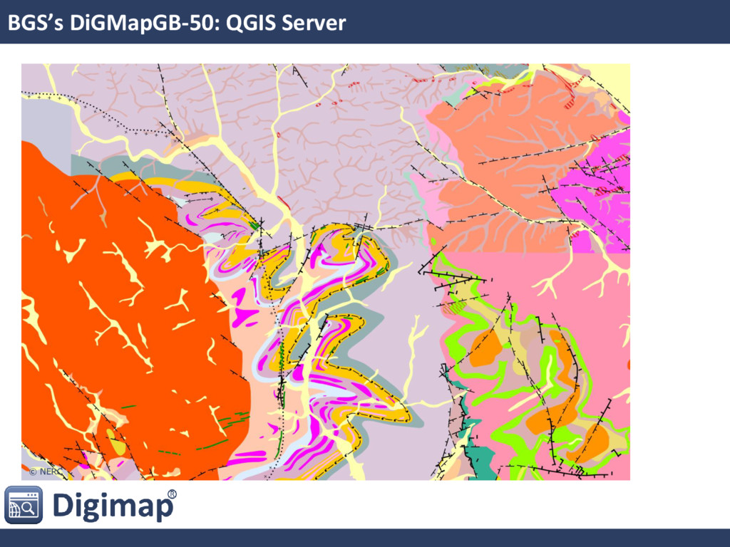
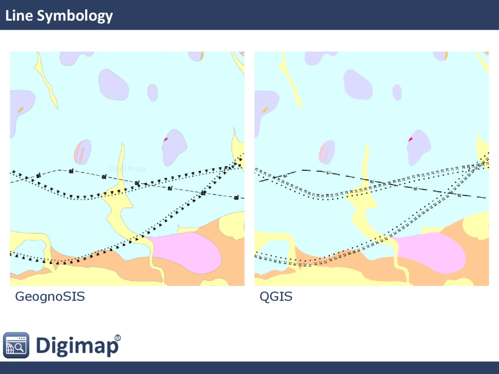
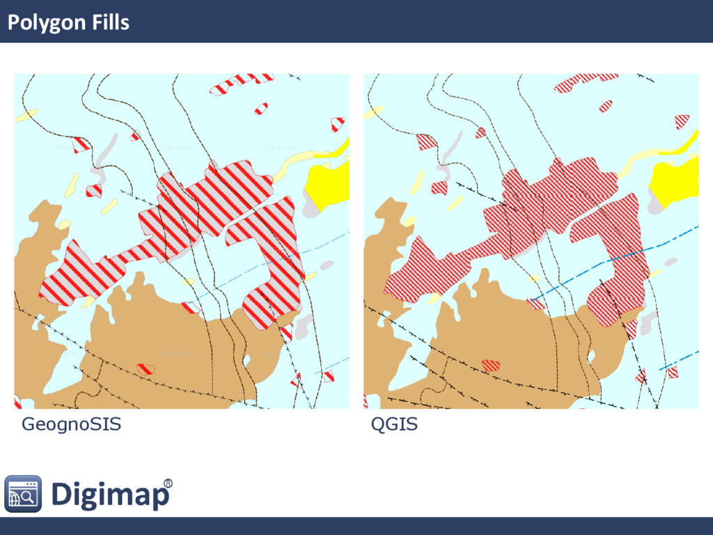
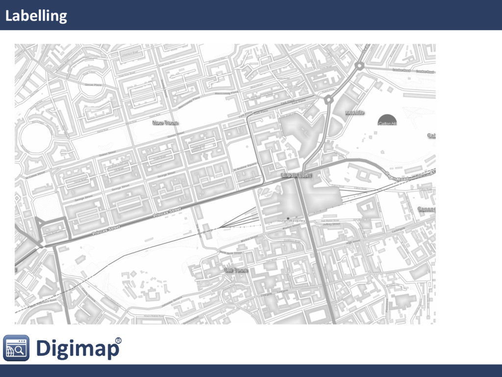
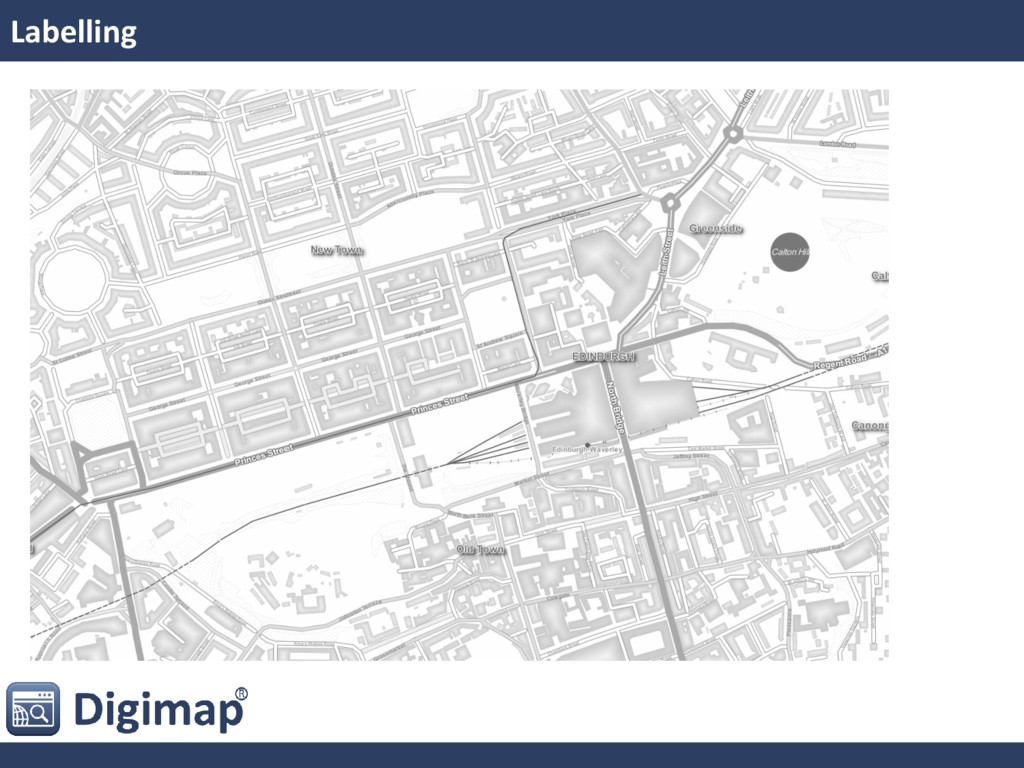
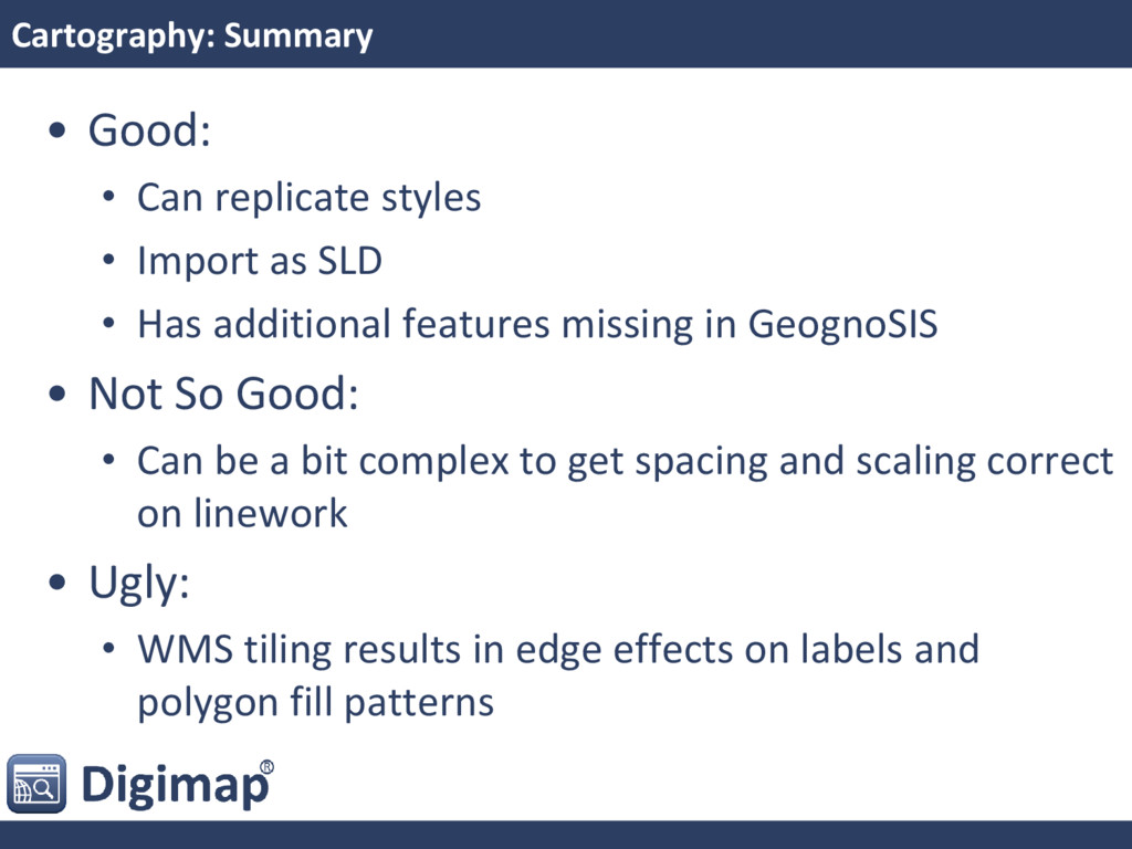
as SLD • Has additional features missing in GeognoSIS • Not So Good: • Can be a bit complex to get spacing and scaling correct on linework • Ugly: • WMS tiling results in edge effects on labels and polygon fill patterns
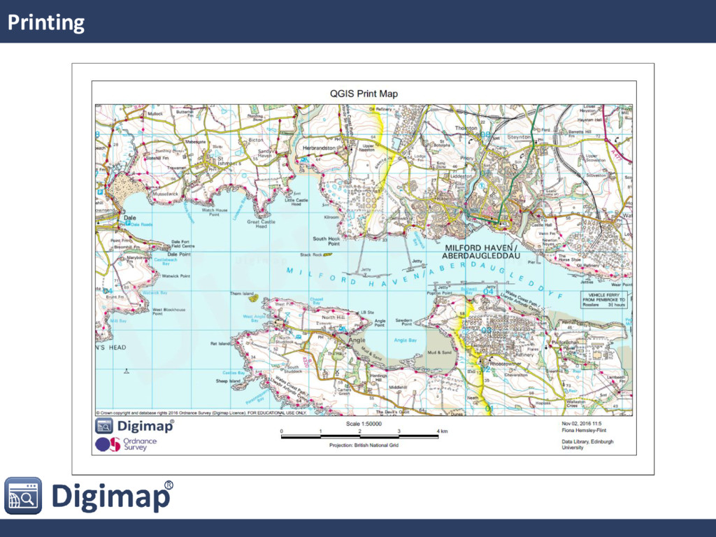
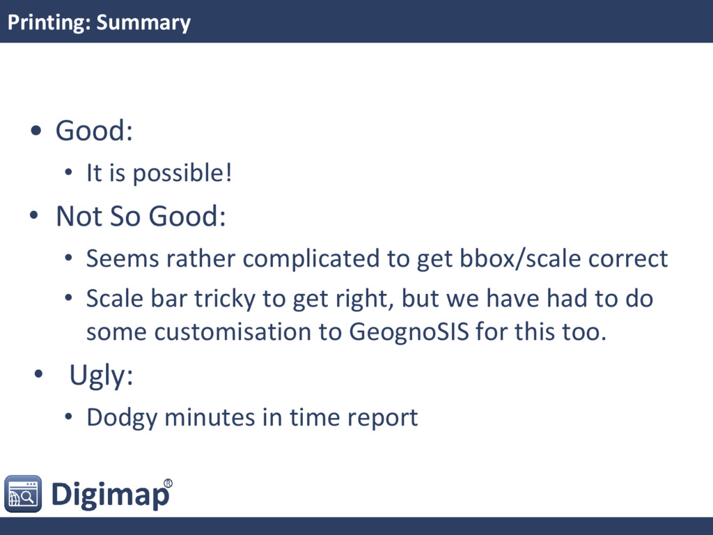
So Good: • Seems rather complicated to get bbox/scale correct • Scale bar tricky to get right, but we have had to do some customisation to GeognoSIS for this too. • Ugly: • Dodgy minutes in time report
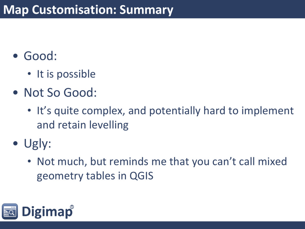
Not So Good: • It’s quite complex, and potentially hard to implement and retain levelling • Ugly: • Not much, but reminds me that you can’t call mixed geometry tables in QGIS
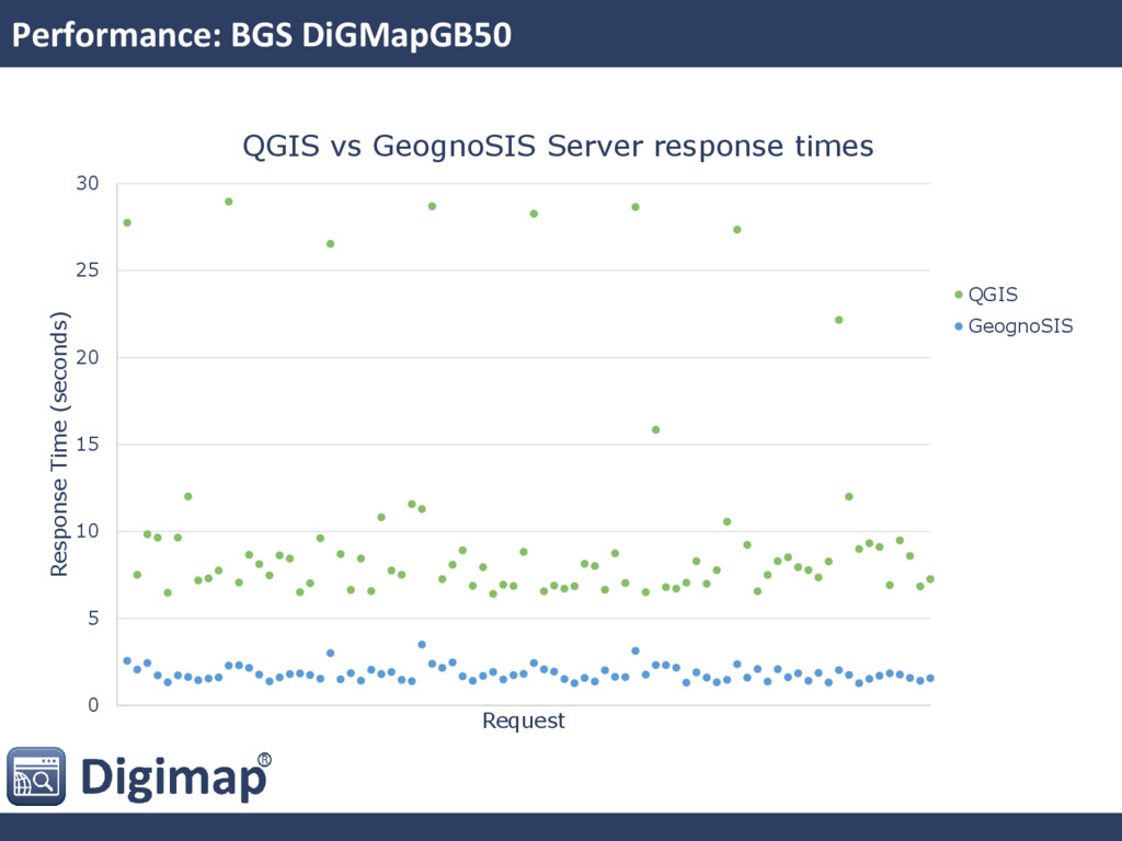
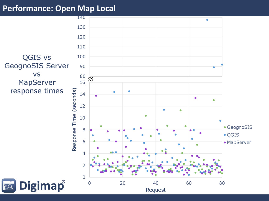
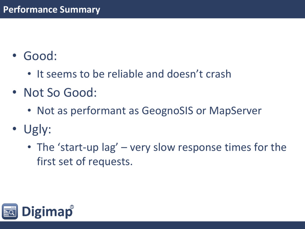
and doesn’t crash • Not So Good: • Not as performant as GeognoSIS or MapServer • Ugly: • The ‘start-up lag’ – very slow response times for the first set of requests.
complex ones such as Marine and MasterMap • Ask the experts for advice re. performance • Follow developments of QGIS Server with move out of QGIS 3 base code (see forum thread: http://lists.osgeo.org/pipermail/qgis- developer/2016-September/044812.html)
effort either by us or pay community to do it • Would be great to see something come out of the discussion in the forum • Really would like to be able to use it!

 SiteGround - Reliable hosting with speed, security, and support you can count on.


 mixedbredie
 bitkey
 persolserverworks
 tokuty
 ueponx
 nealle
 yamad
 satoshi7
 greenmidori
 takanorip
 usanchuu
 teamlab
 stomk
 helmedeiros
 tmiket
 lara
 szymonslowik
 reverentgeek
 jonyablonski
 irinanazarova
 axbom
 stephaniewalter
 tessaabrams
 kimpetersen