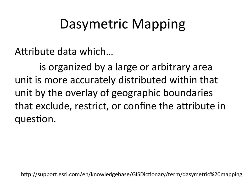
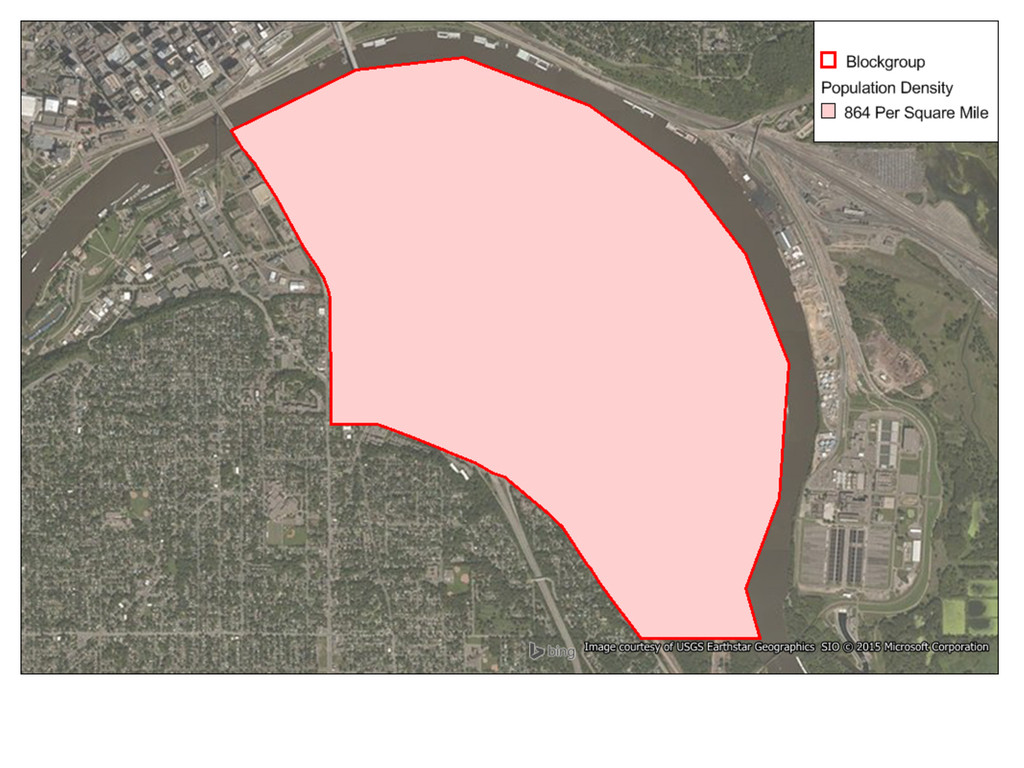
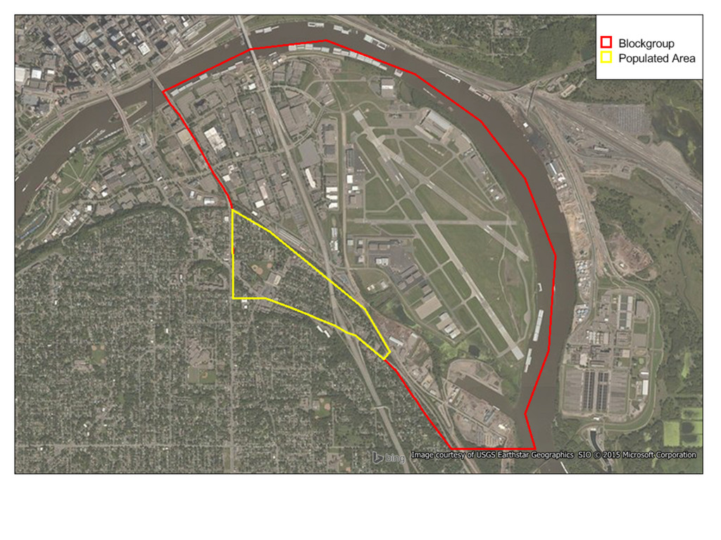
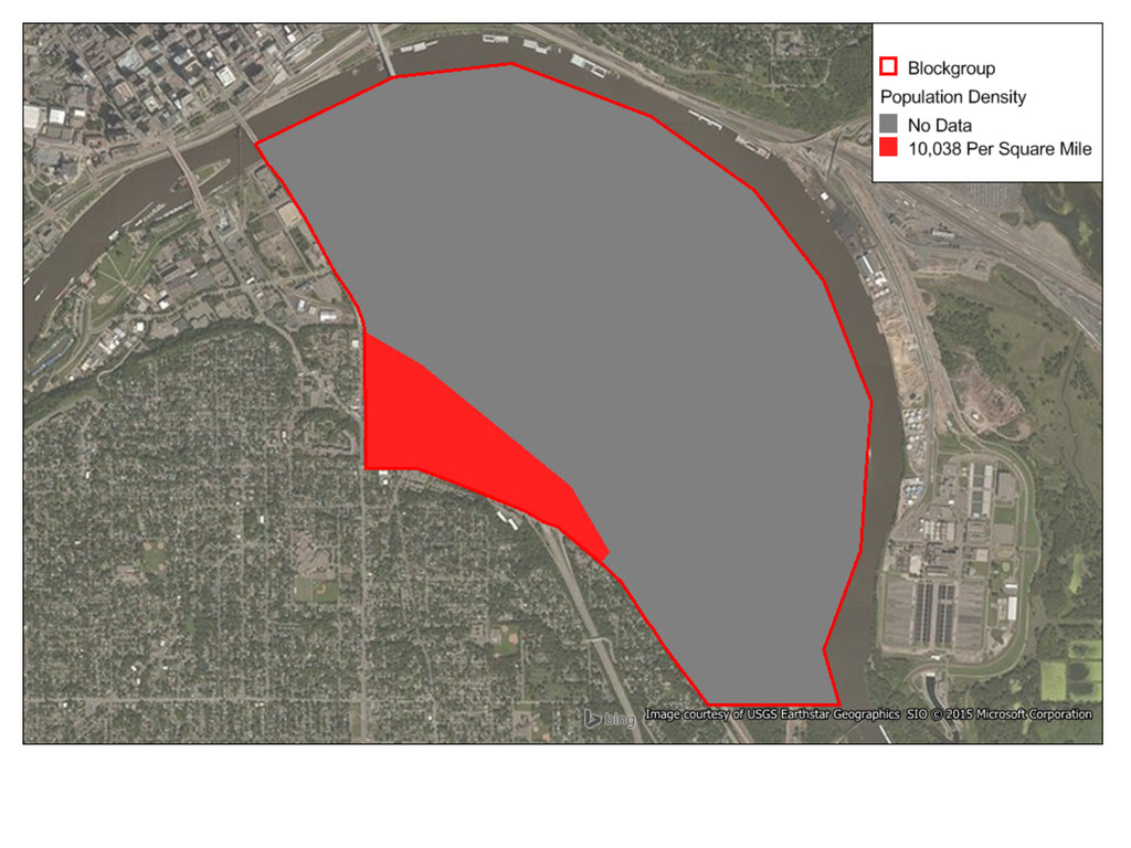
by a large or arbitrary area unit is more accurately distributed within that unit by the overlay of geographic boundaries that exclude, restrict, or confine the a<ribute in ques>on. h<p://support.esri.com/en/knowledgebase/GISDic>onary/term/dasymetric%20mapping
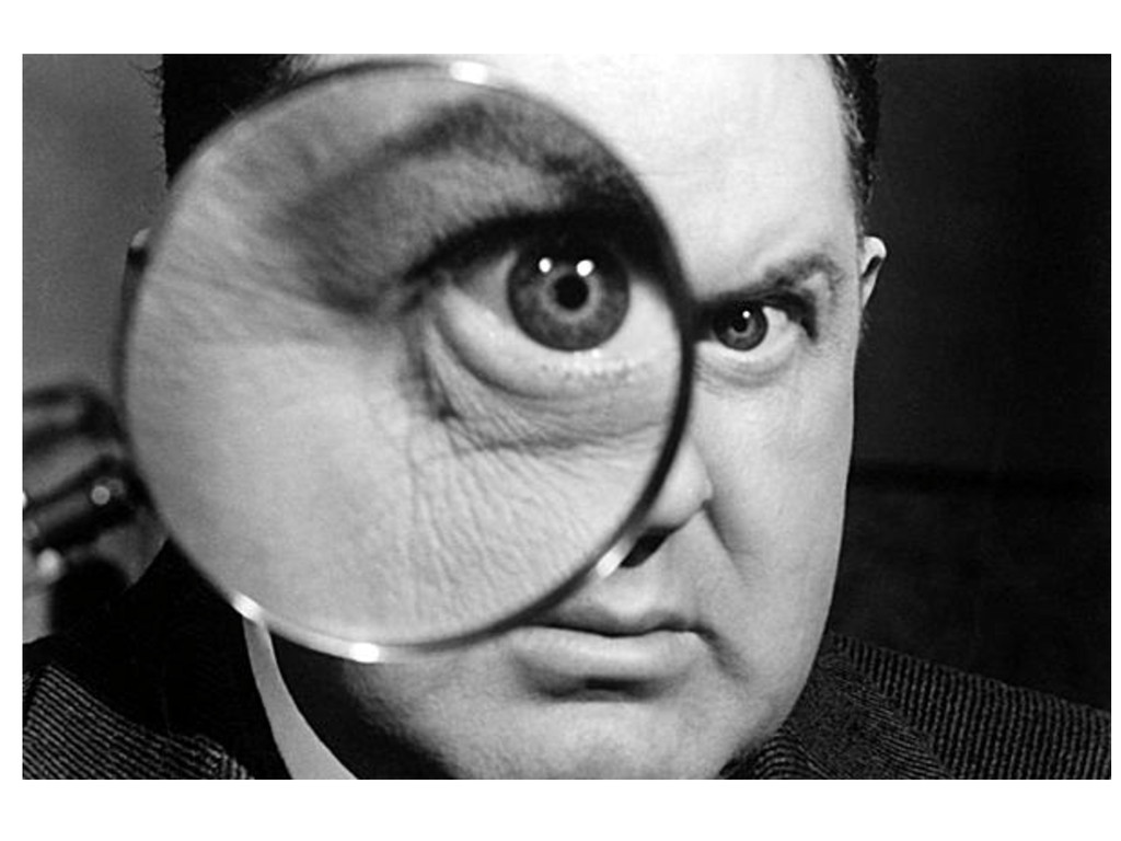
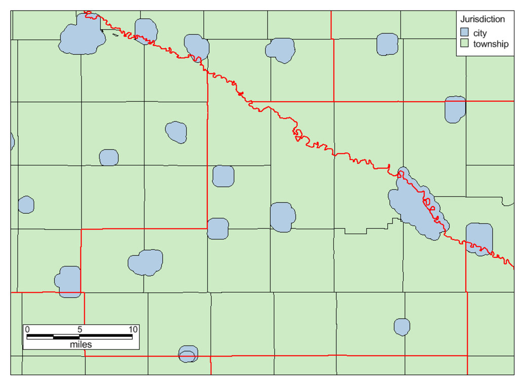
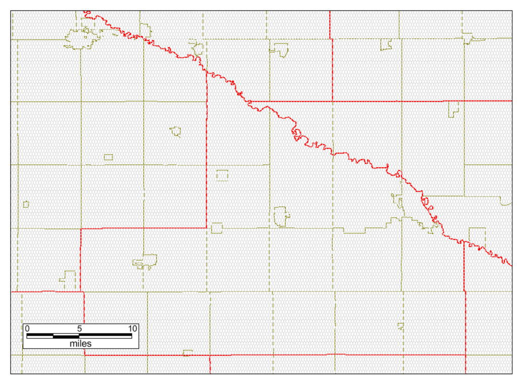
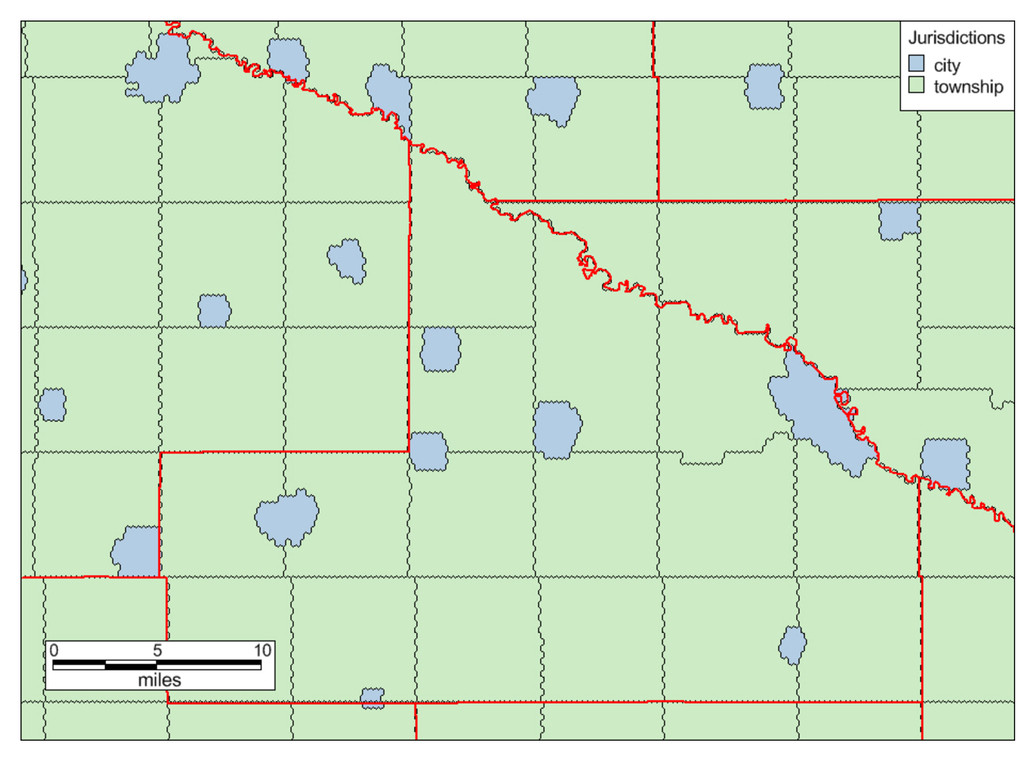
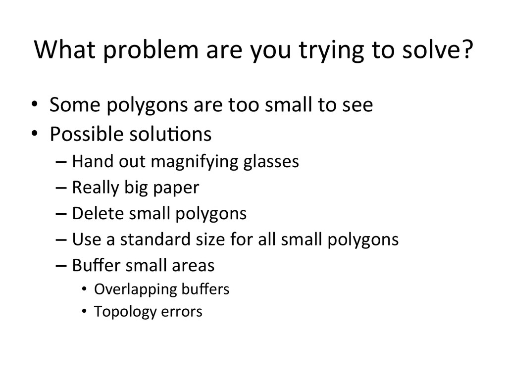
polygons are too small to see • Possible solu>ons – Hand out magnifying glasses – Really big paper – Delete small polygons – Use a standard size for all small polygons – Buffer small areas • Overlapping buffers • Topology errors
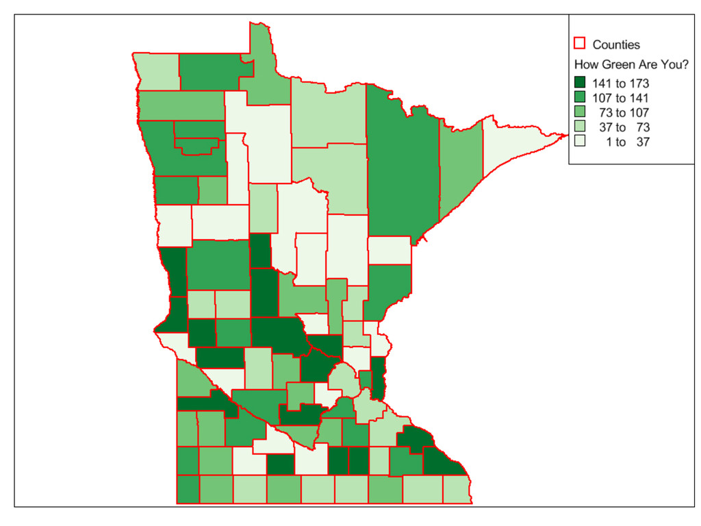
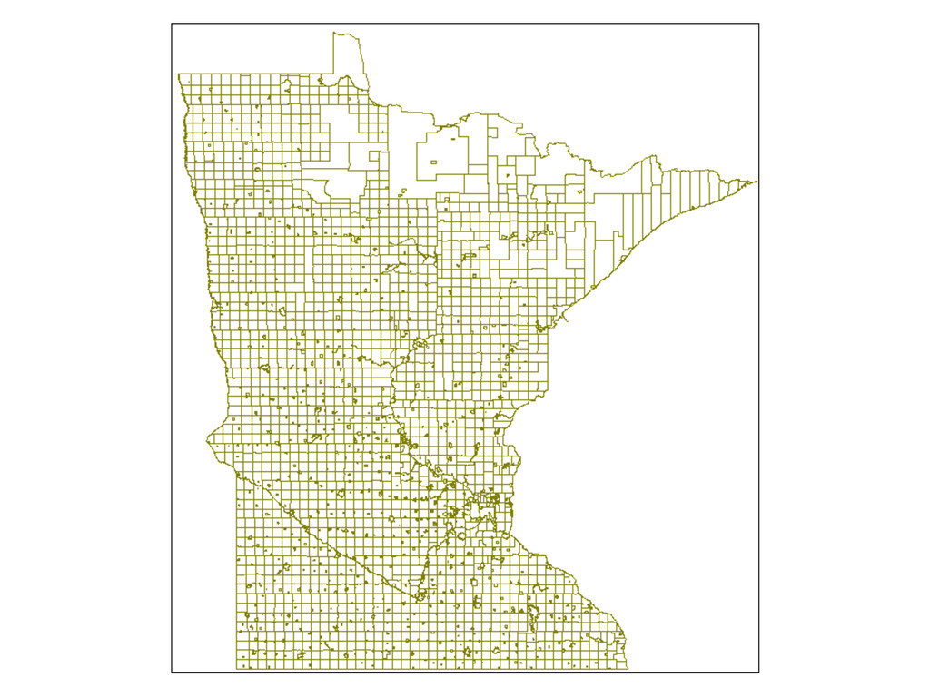
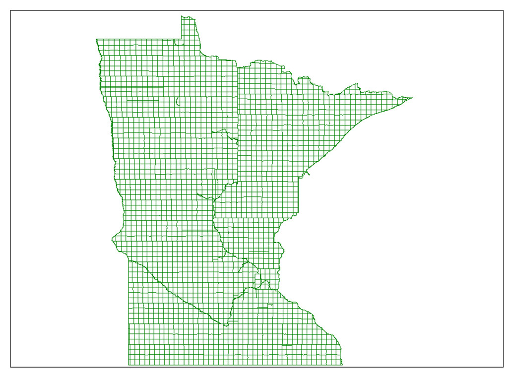
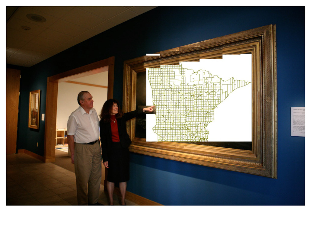
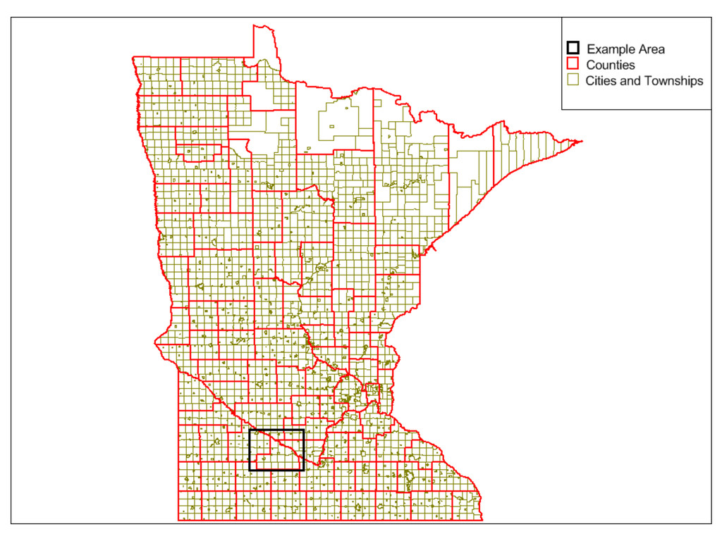
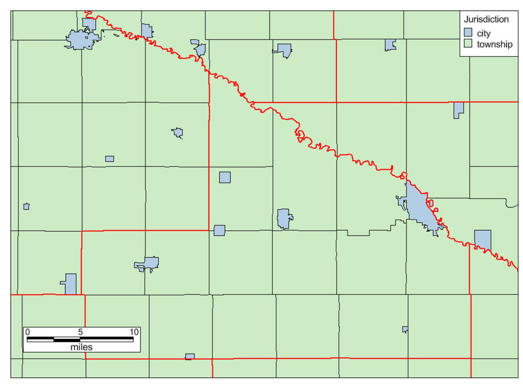
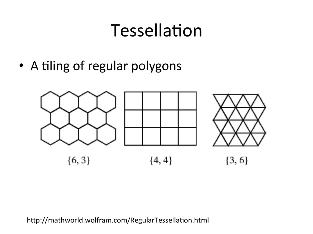
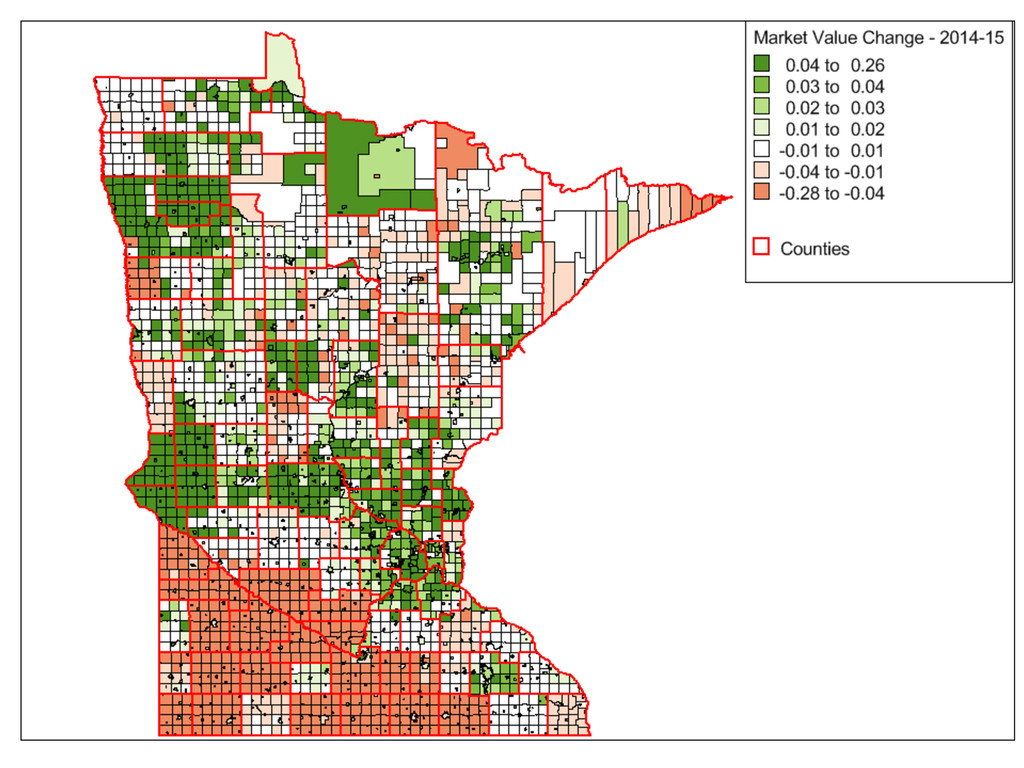
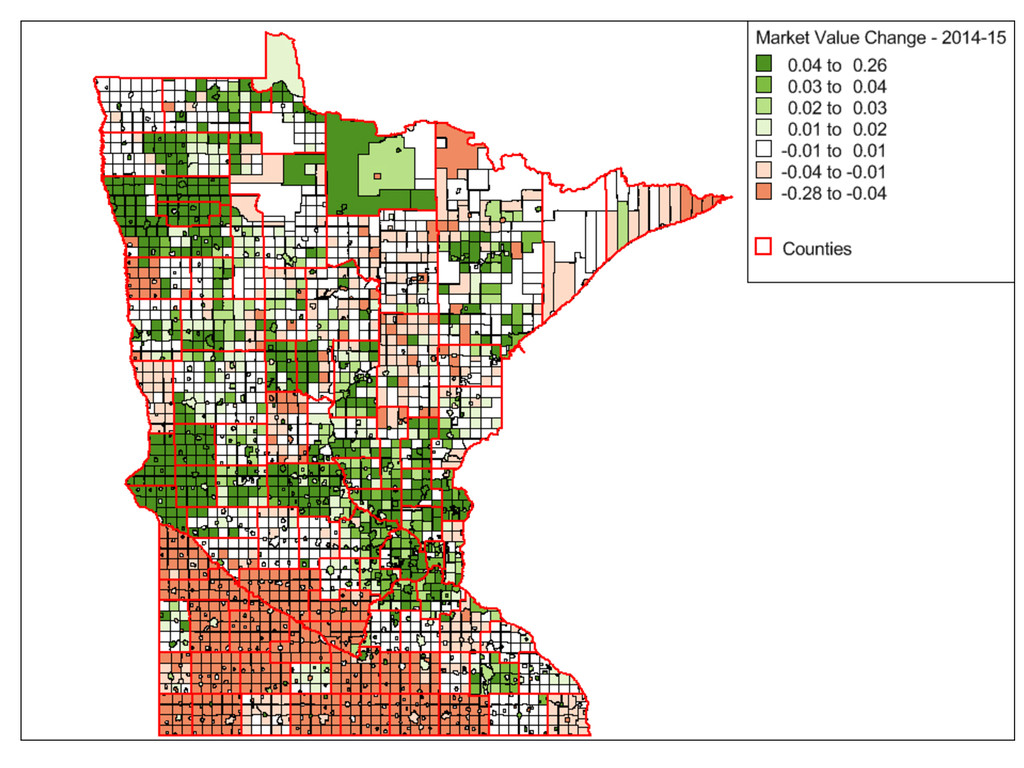
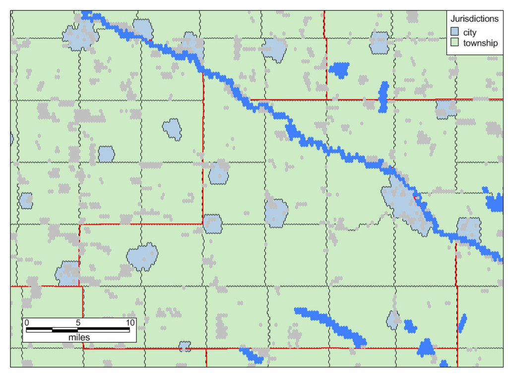
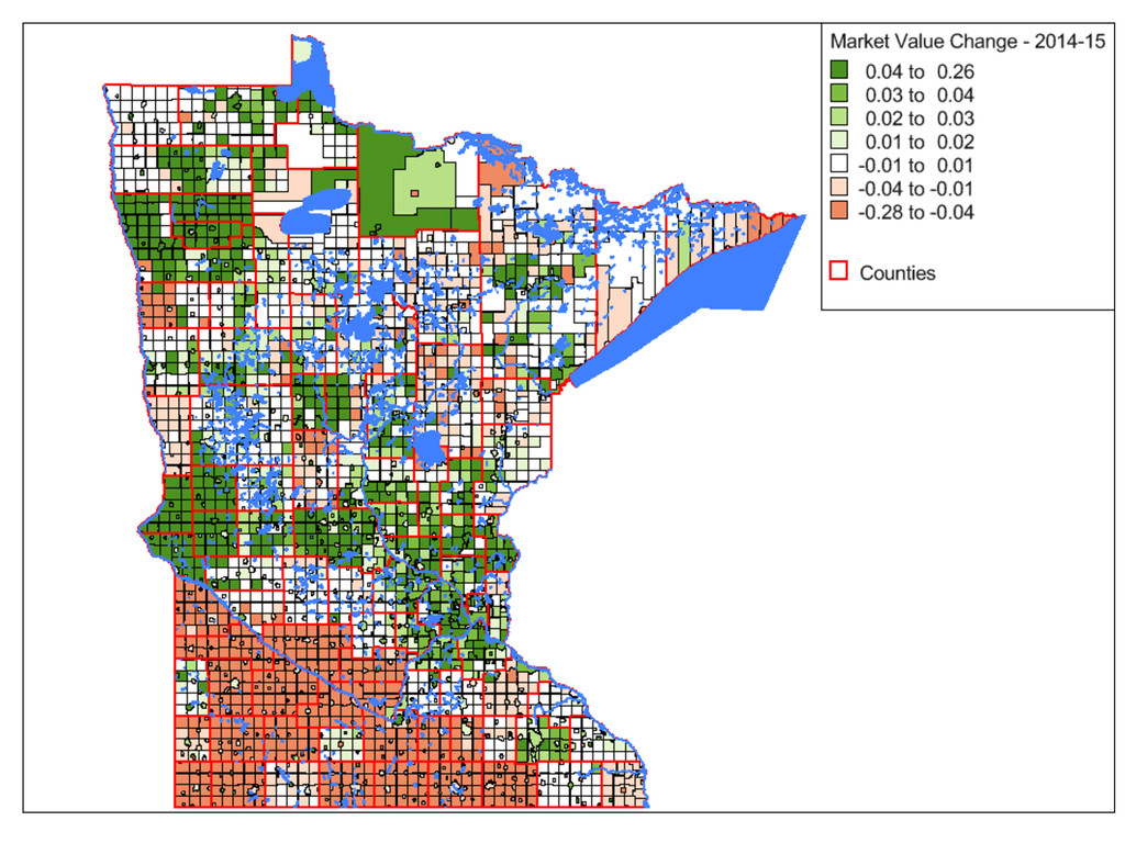
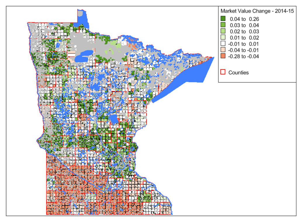
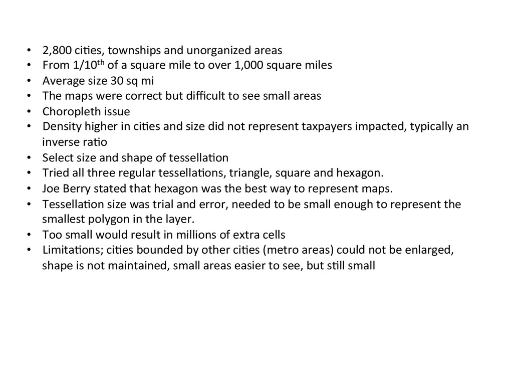
1/10th of a square mile to over 1,000 square miles • Average size 30 sq mi • The maps were correct but difficult to see small areas • Choropleth issue • Density higher in ci>es and size did not represent taxpayers impacted, typically an inverse ra>o • Select size and shape of tessella>on • Tried all three regular tessella>ons, triangle, square and hexagon. • Joe Berry stated that hexagon was the best way to represent maps. • Tessella>on size was trial and error, needed to be small enough to represent the smallest polygon in the layer. • Too small would result in millions of extra cells • Limita>ons; ci>es bounded by other ci>es (metro areas) could not be enlarged, shape is not maintained, small areas easier to see, but s>ll small