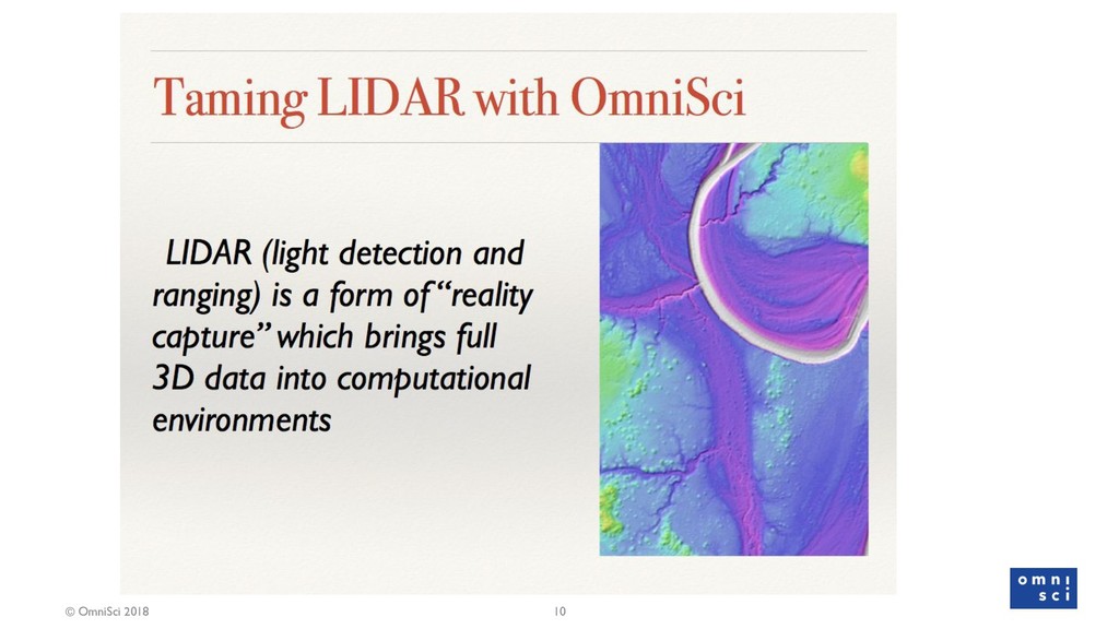
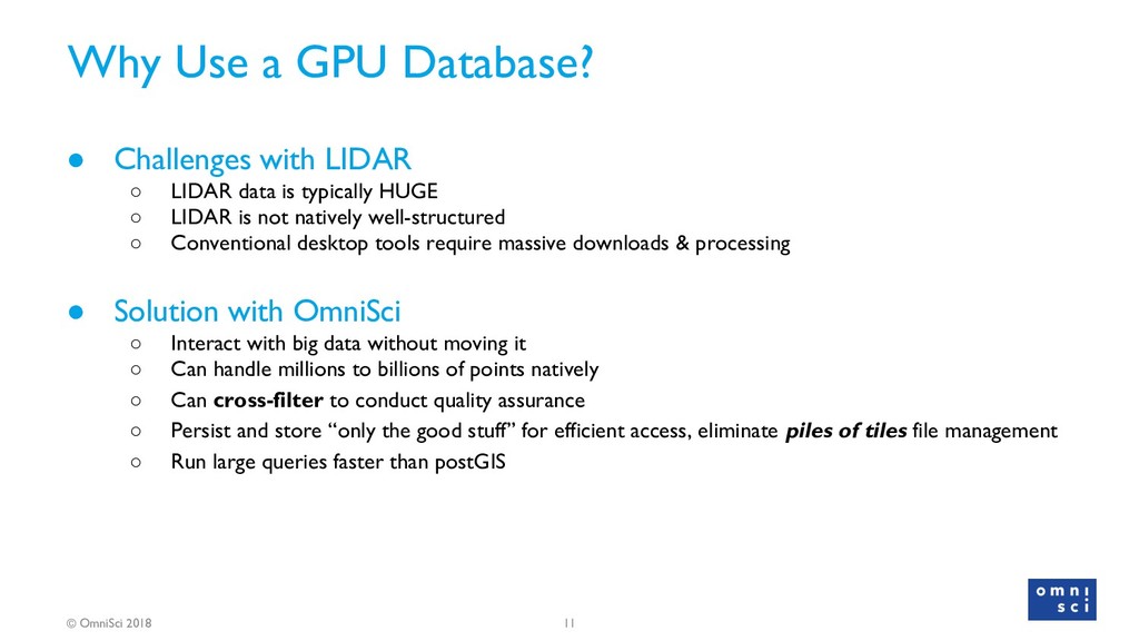
Challenges with LIDAR ◦ LIDAR data is typically HUGE ◦ LIDAR is not natively well-structured ◦ Conventional desktop tools require massive downloads & processing • Solution with OmniSci ◦ Interact with big data without moving it ◦ Can handle millions to billions of points natively ◦ Can cross-filter to conduct quality assurance ◦ Persist and store “only the good stuff” for efficient access, eliminate piles of tiles file management ◦ Run large queries faster than postGIS
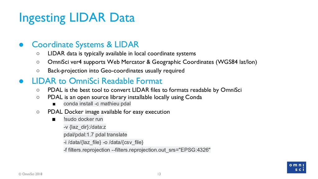
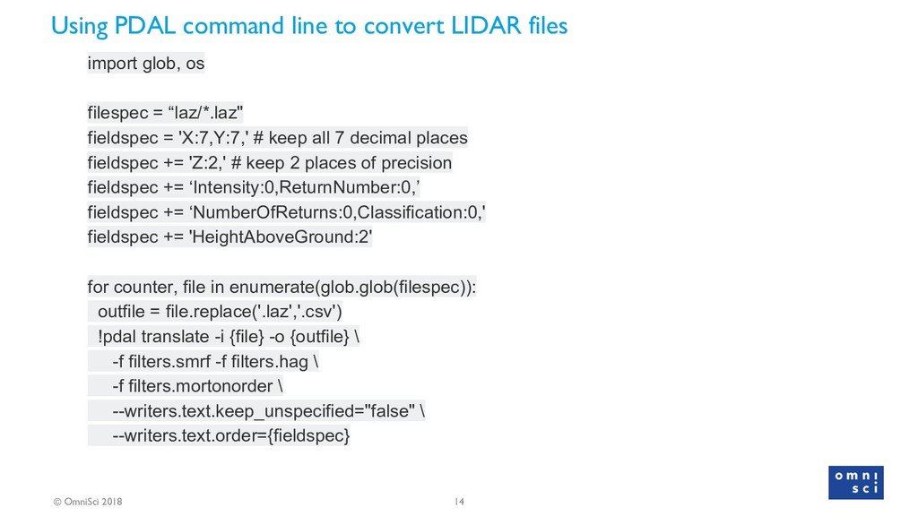
& LIDAR ◦ LIDAR data is typically available in local coordinate systems ◦ OmniSci ver4 supports Web Mercator & Geographic Coordinates (WGS84 lat/lon) ◦ Back-projection into Geo-coordinates usually required • LIDAR to OmniSci Readable Format ◦ PDAL is the best tool to convert LIDAR files to formats readable by OmniSci ◦ PDAL is an open source library installable locally using Conda ▪ conda install -c mathieu pdal ◦ PDAL Docker image available for easy execution ▪ !sudo docker run -v {laz_dir}:/data:z pdal/pdal:1.7 pdal translate -i /data/{laz_file} -o /data/{csv_file} -f filters.reprojection --filters.reprojection.out_srs="EPSG:4326"
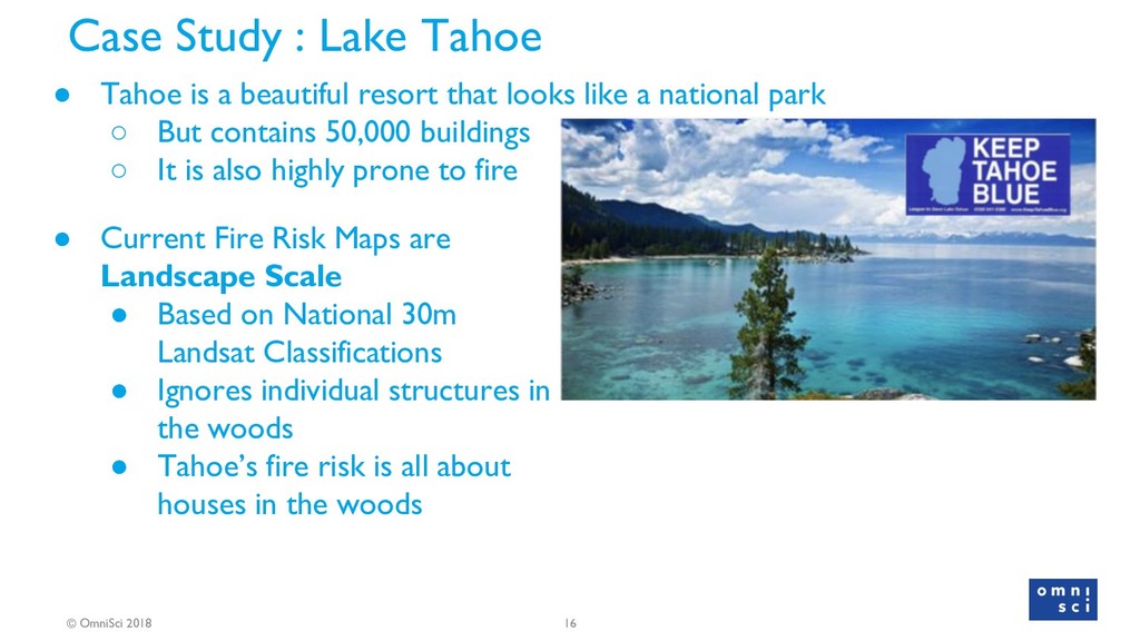
Tahoe is a beautiful resort that looks like a national park ◦ But contains 50,000 buildings ◦ It is also highly prone to fire • Current Fire Risk Maps are Landscape Scale • Based on National 30m Landsat Classifications • Ignores individual structures in the woods • Tahoe’s fire risk is all about houses in the woods
better fire models For Wildland Urban Intermix • Develop an open database Including urban forest Structural characteristics • Develop FOSS workflows for LIDAR -> OmniSci • Characterize Low, Medium & High Vertical vegetation density
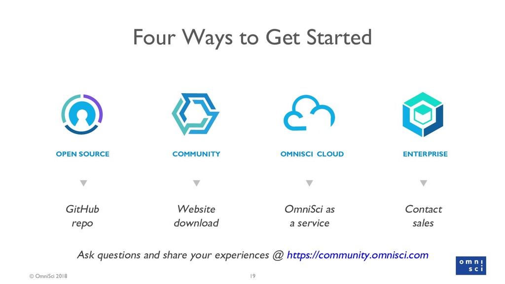
OPEN SOURCE Website download COMMUNITY OmniSci as a service OMNISCI CLOUD Contact sales ENTERPRISE 19 Ask questions and share your experiences @ https://community.omnisci.com
![Veda Shankar Sr Developer Advocate , OmniSci Community [email protected] Michael](https://files.speakerdeck.com/presentations/87034d2ca52b41058dda2ecc30f12f7e/slide_1.jpg)