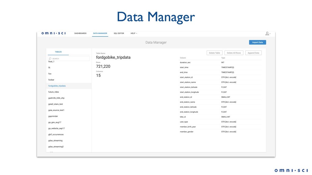
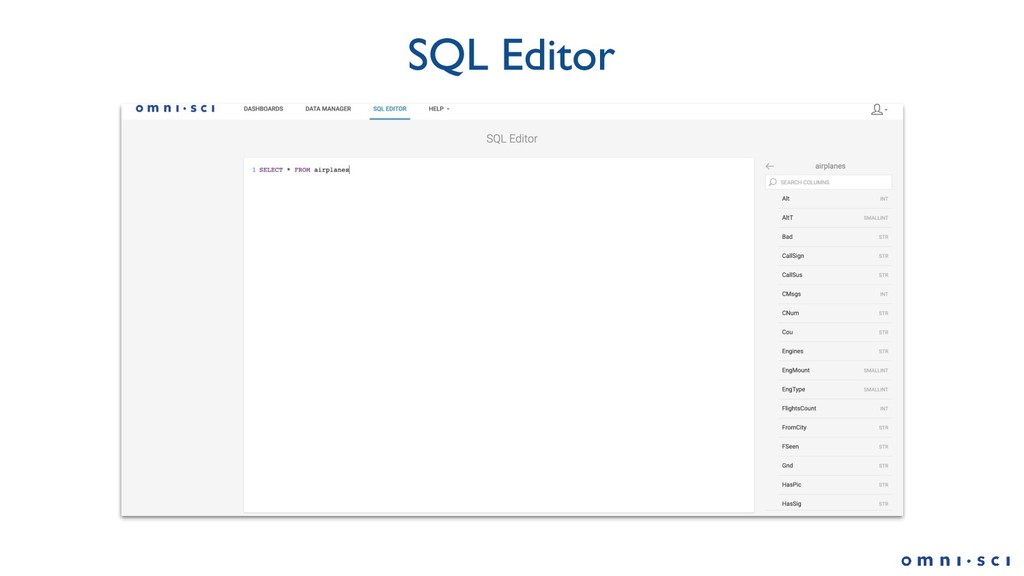
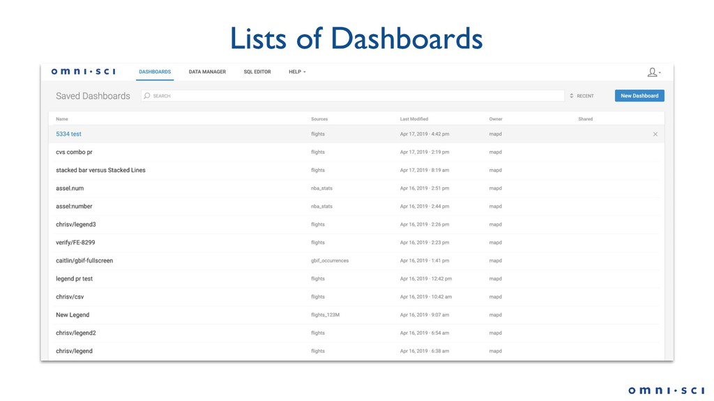
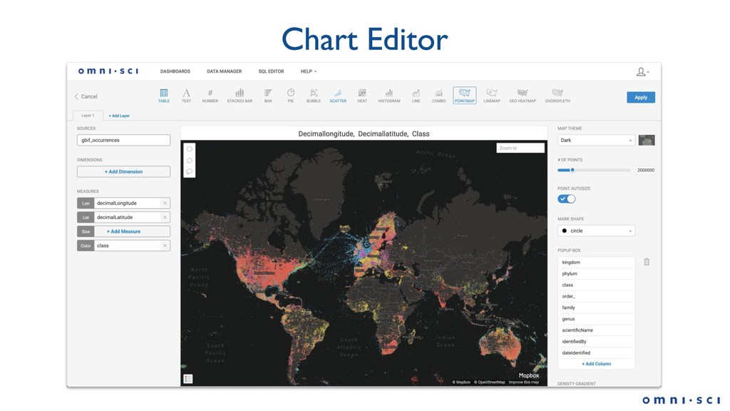
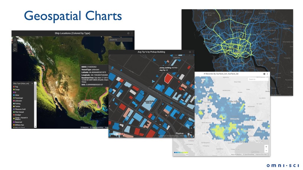
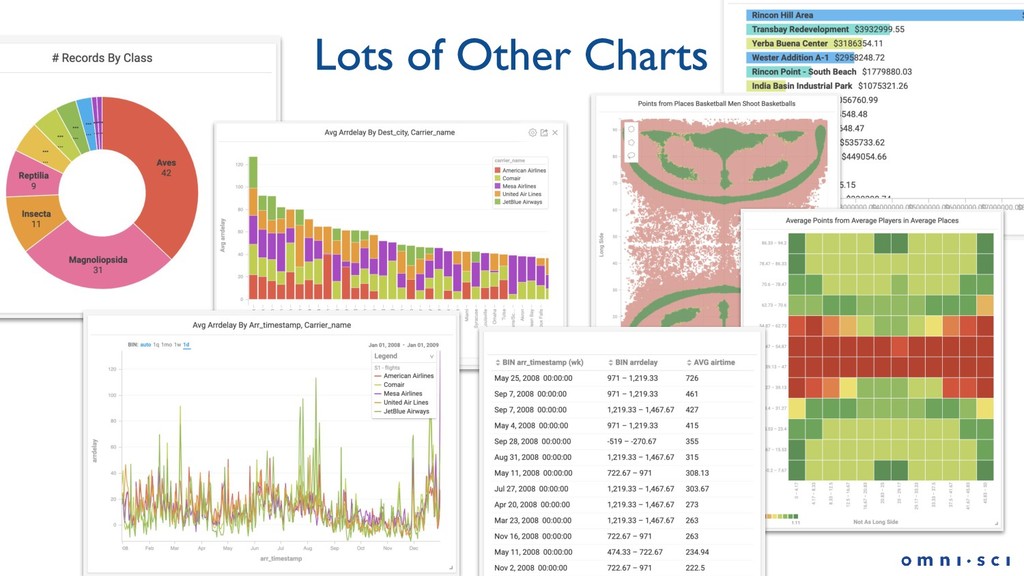
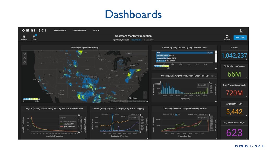
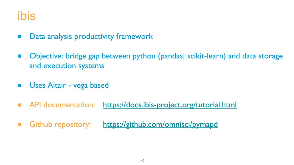
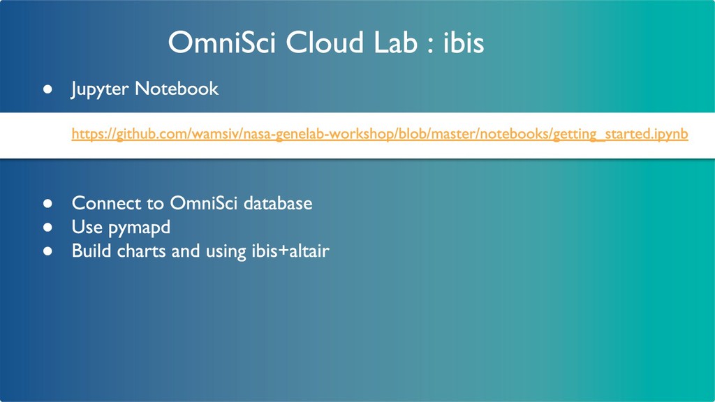
Attendees will focus on learning all facets of OmniSci Immerse, from loading data to creating effective dashboards that utilize the power of the OmniSci platform. At the end of the workshop, attendees will feel comfortable importing and updating data using Data Manager, building single- and multi-table charts using Visual Data Fusion, multi-layer geospatial charts and even custom colormaps within OmniSci Cloud, as well as launching Jupyter Notebook from Immerse to do some prediction modeling. Lastly, attendees will learn using Omnisci’s pymapd for high-performance and data science libraries as part of the RAPIDS GPU Analytics project.
Wamsi Viswanath, Data Scientist, OmniSci
Alex Haruty, QA Lead, OmniSci