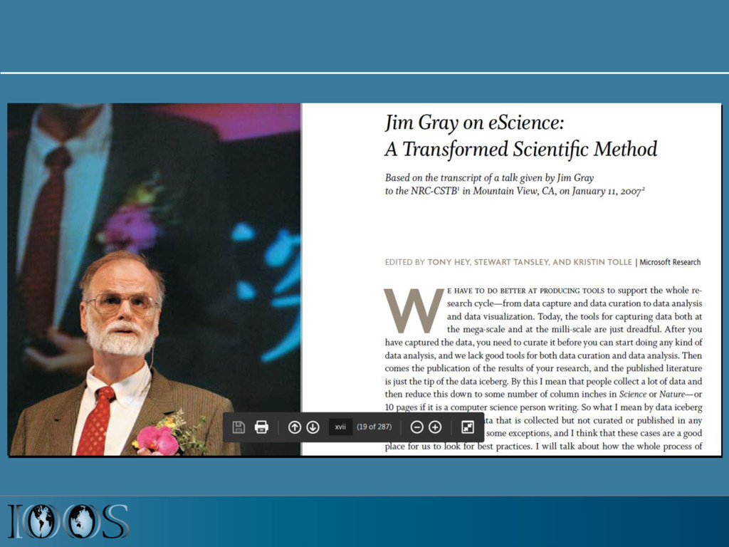
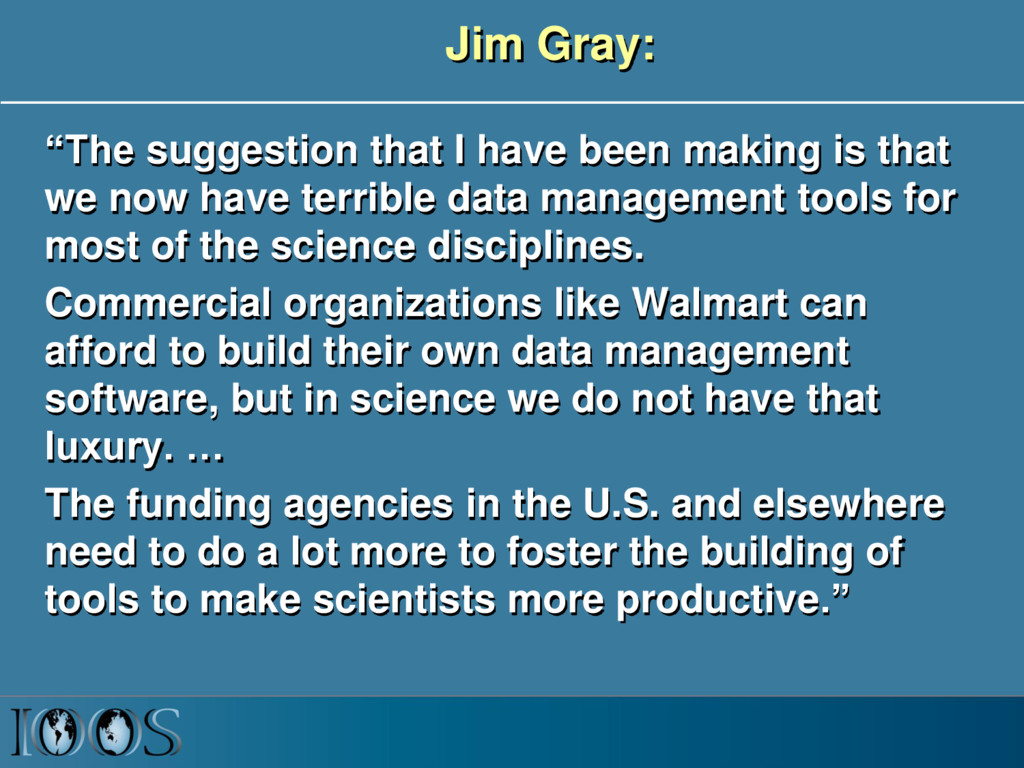
that we now have terrible data management tools for most of the science disciplines. Commercial organizations like Walmart can afford to build their own data management software, but in science we do not have that luxury. … The funding agencies in the U.S. and elsewhere need to do a lot more to foster the building of tools to make scientists more productive.”
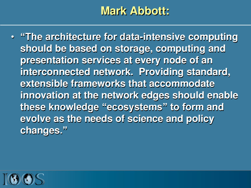
based on storage, computing and presentation services at every node of an interconnected network. Providing standard, extensible frameworks that accommodate innovation at the network edges should enable these knowledge “ecosystems” to form and evolve as the needs of science and policy changes.”
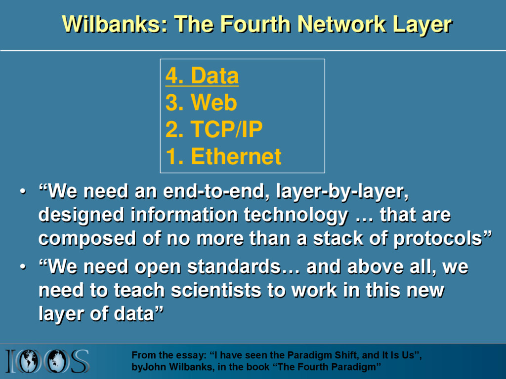
layer-by-layer, designed information technology … that are composed of no more than a stack of protocols” • “We need open standards… and above all, we need to teach scientists to work in this new layer of data” From the essay: “I have seen the Paradigm Shift, and It Is Us”, byJohn Wilbanks, in the book “The Fourth Paradigm” 4. Data 3. Web 2. TCP/IP 1. Ethernet
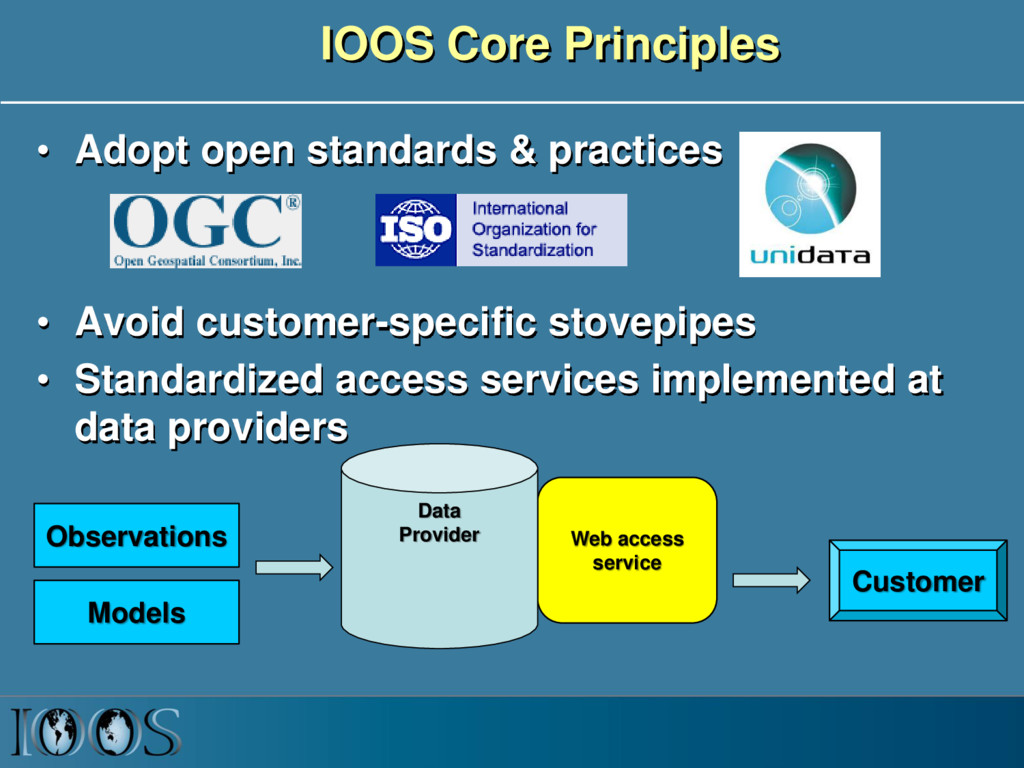
Avoid customer-specific stovepipes • Standardized access services implemented at data providers Customer Web access service Data Provider Observations Models
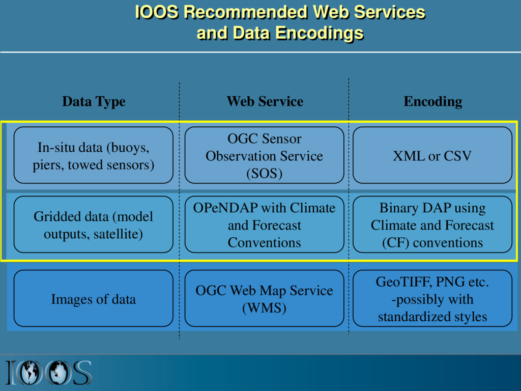
piers, towed sensors) Gridded data (model outputs, satellite) OGC Sensor Observation Service (SOS) OPeNDAP with Climate and Forecast Conventions XML or CSV Binary DAP using Climate and Forecast (CF) conventions Images of data OGC Web Map Service (WMS) GeoTIFF, PNG etc. -possibly with standardized styles Data Type Web Service Encoding
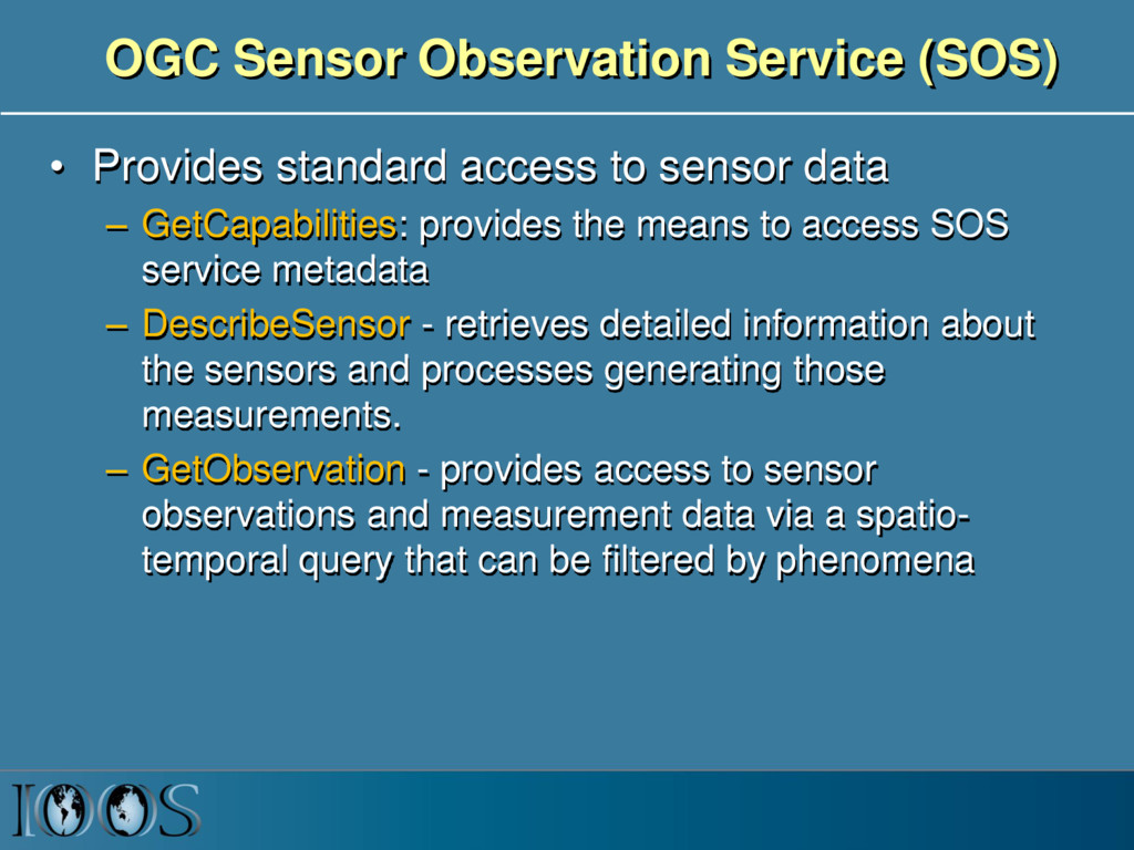
sensor data – GetCapabilities: provides the means to access SOS service metadata – DescribeSensor - retrieves detailed information about the sensors and processes generating those measurements. – GetObservation - provides access to sensor observations and measurement data via a spatio- temporal query that can be filtered by phenomena
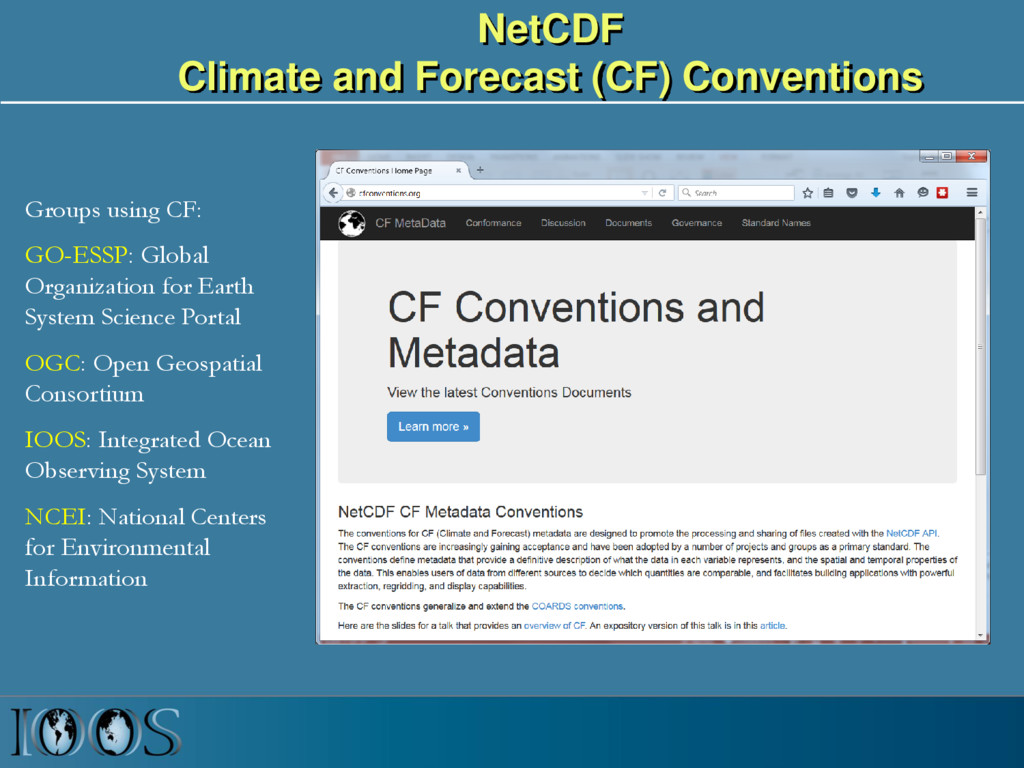
Global Organization for Earth System Science Portal OGC: Open Geospatial Consortium IOOS: Integrated Ocean Observing System NCEI: National Centers for Environmental Information
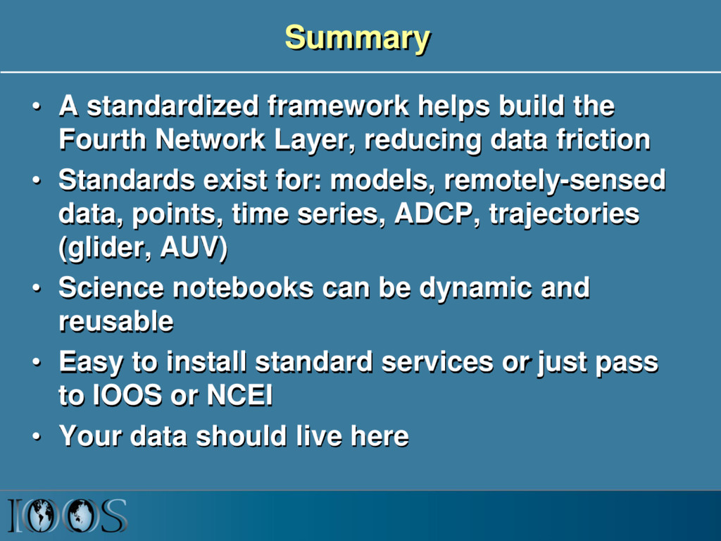
Layer, reducing data friction • Standards exist for: models, remotely-sensed data, points, time series, ADCP, trajectories (glider, AUV) • Science notebooks can be dynamic and reusable • Easy to install standard services or just pass to IOOS or NCEI • Your data should live here