Upgrade to Pro — share decks privately, control downloads, hide ads and more …

Spatial Thinking with Python

Spatial Thinking with Python

A primer on Geospatial data

sangarshanan

October 05, 2019
Tweet

Other Decks in Programming

Transcript

  1. {{ ME_IRL }} 2 sangarshanan sangarshanan Sangarshanan Recently graduated from

    VIT Vellore Working at Grofers Makes memes hanging upside down
  2. When you realize that John Snow was basically the first

    person to effectively make use of geospatial data everything
  3. 12 Vector Points / Geometries /Shapes eg: Shapefiles, GEOJSON Raster

    Pixels with or without spatial metadata eg: GEOTIFF, TIFF
  4. We can get our Raster’s degree now - Monitoring and

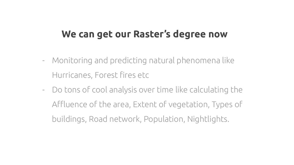
    predicting natural phenomena like Hurricanes, Forest fires etc - Do tons of cool analysis over time like calculating the Affluence of the area, Extent of vegetation, Types of buildings, Road network, Population, Nightlights.
  5. GDAL / OGR Geospatial Data Abstraction Library YEAR 1998 154

    raster and 93 vector geospatial data formats
  6. Vector Data OGR's neat and nimble API for Python programmers

    Geographic data to pandas objects Geometry Engine – Open Source
  7. OSR Projections / Rtree Pythonic cartographic projections and coordinate transformations

    library Advanced spatial indexing features Fiona ,Shapely, Geopandas
  8. Indexing Geospatial Data Suppose you want to find all the

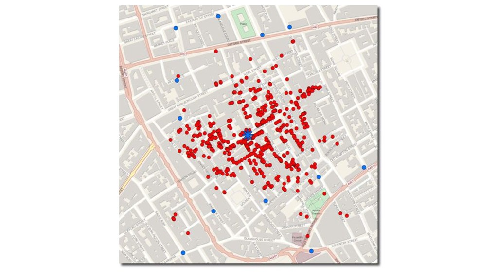
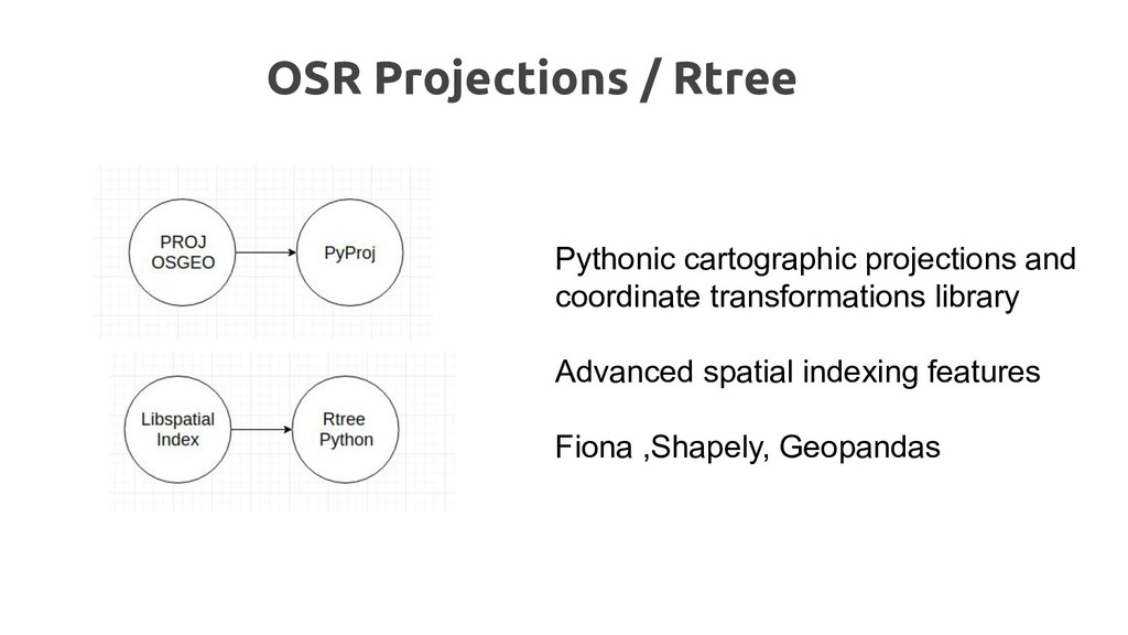
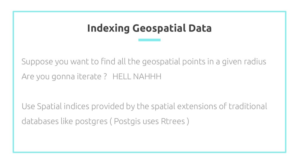
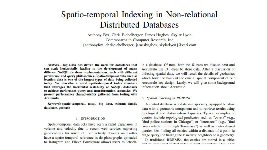
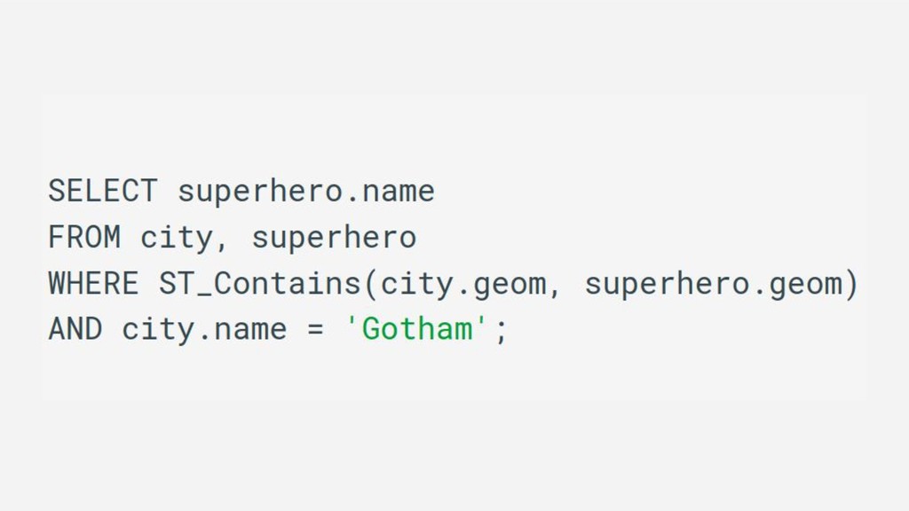
    geospatial points in a given radius Are you gonna iterate ? HELL NAHHH Use Spatial indices provided by the spatial extensions of traditional databases like postgres ( Postgis uses Rtrees )
  9. There are also packages than combine these existing packages that

    are actually wrappers on already existing packages
  10. OSMNX (0SM + Networkx) Work with road network data from

    osm using networkx Analyze and visualize street networks, routing , travel times etc
  11. Blogs I stole from - https://blog.mapbox.com/a-dive-into-spatial-search-algorithms-ebd0c5e39d2a - https://github.com/pcjericks/py-gdalogr-cookbook - https://medium.com/locale-ai

    - https://geoffboeing.com/ - https://towardsdatascience.com/geospatial-indexing-with-ubers-h3-766399b690c - https://medium.com/@chrieke/essential-geospatial-python-libraries-5d82fcc38731 - https://pysal.readthedocs.io/en/latest/