The Comeback Story of Texas Geology Data Realized Daniel K. Pearson USGS Texas Water Science Center CTPO Studies Chief Austin, TX TX GIS Community Meeting William B. Travis Building April 28, 2015
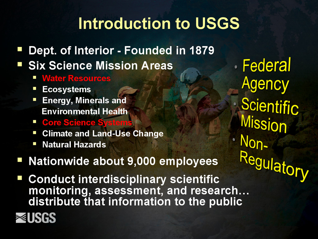
1879 § Six Science Mission Areas § Water Resources § Ecosystems § Energy, Minerals and Environmental Health § Core Science Systems § Climate and Land-Use Change § Natural Hazards § Nationwide about 9,000 employees § Conduct interdisciplinary scientific monitoring, assessment, and research… distribute that information to the public
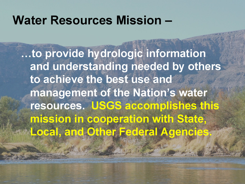
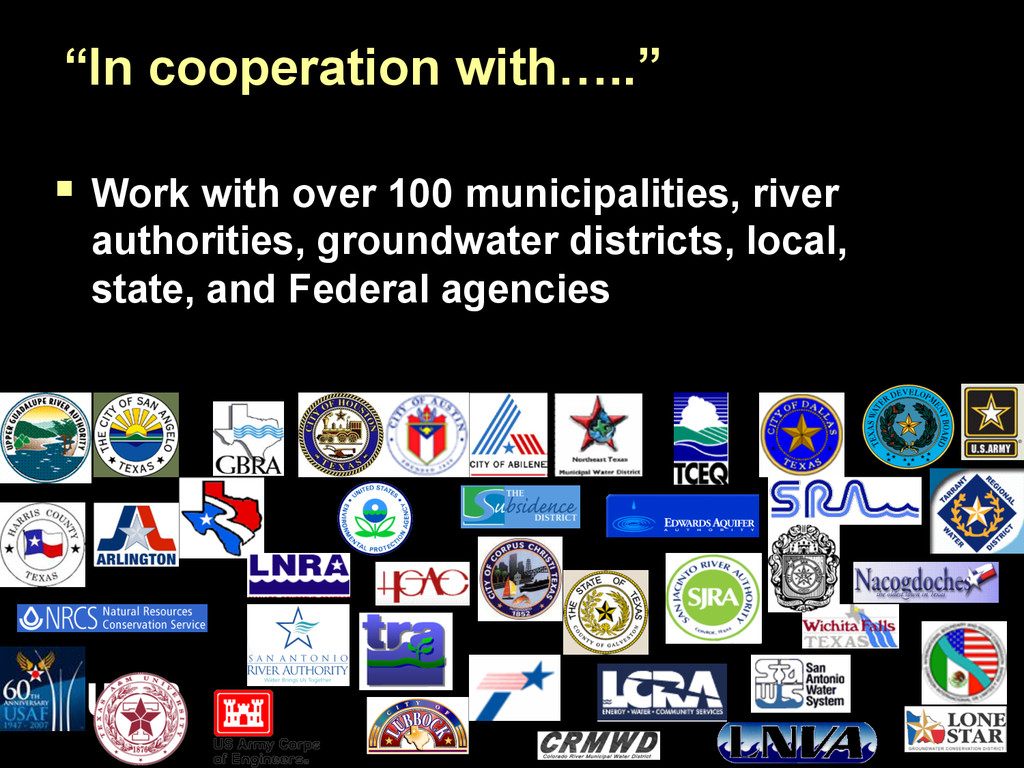
achieve the best use and management of the Nation’s water resources. USGS accomplishes this mission in cooperation with State, Local, and Other Federal Agencies. Water Resources Mission –
data custodian § Strategic Mapping Program established in 1997 by Senate Bill 1 to develop consistent statewide digital data layers § Geology was not one of the core layers, but the GIS Community in Texas realized the need § …and so it was in the early days
Project was first cited in the 1961 UTBEG Annual Report § 38 Geologic Atlas of Texas (GAT) hardcopy map sheets in the series – 1:250,000 § Production involved the work of 28 BEG geologists and many other geologists, seven cartographers, and several editors § The last GAT sheet was published in 1987, map sheets remain best seller from UTBEG
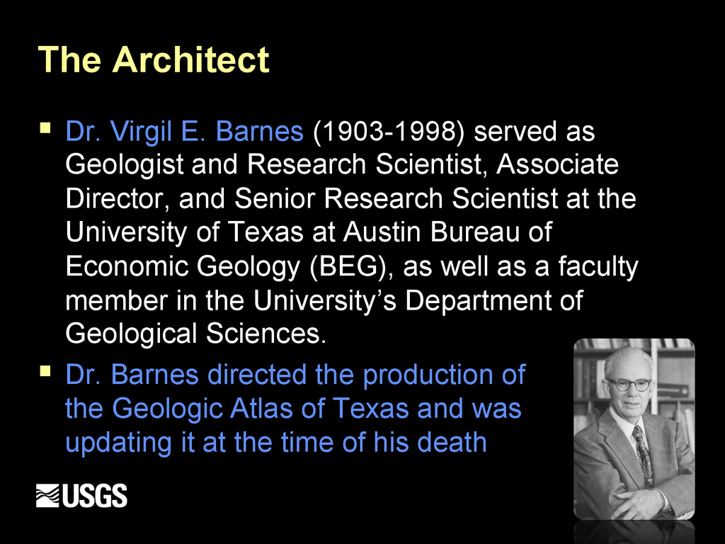
Geologist and Research Scientist, Associate Director, and Senior Research Scientist at the University of Texas at Austin Bureau of Economic Geology (BEG), as well as a faculty member in the University’s Department of Geological Sciences. § Dr. Barnes directed the production of the the Geologic Atlas of Texas and was updating it at the time of his death
Survey (USGS), in cooperation with the Texas Water Development Board (TWDB+TNRIS), began development of a simple geodatabase model to capture the power of these data. § ** I was hired on to USGS to work specifically on this project and spent the next 3 years of my life digitizing geology data across TX.
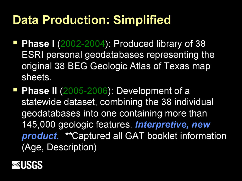
38 ESRI personal geodatabases representing the original 38 BEG Geologic Atlas of Texas map sheets. § Phase II (2005-2006): Development of a statewide dataset, combining the 38 individual geodatabases into one containing more than 145,000 geologic features. Interpretive, new product. **Captured all GAT booklet information (Age, Description)
this effort was a statewide compilation of surficial geologic data housed in a single geodatabase containing: § 117,000 Rock Unit polygons § 16,000 Member Formations (polygon and line) § 11,000 Faults § 554 unique geologic symbols for the Seamless dataset § Various sheet unique geologic formations (Vents, Dikes, Collapse Structures, others)
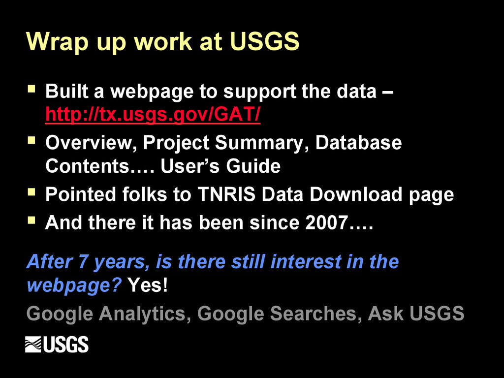
support the data – http://tx.usgs.gov/GAT/ § Overview, Project Summary, Database Contents…. User’s Guide § Pointed folks to TNRIS Data Download page § And there it has been since 2007…. After 7 years, is there still interest in the webpage? Yes! Google Analytics, Google Searches, Ask USGS
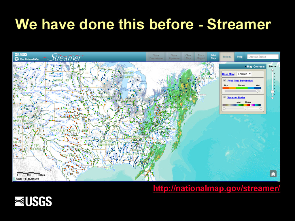
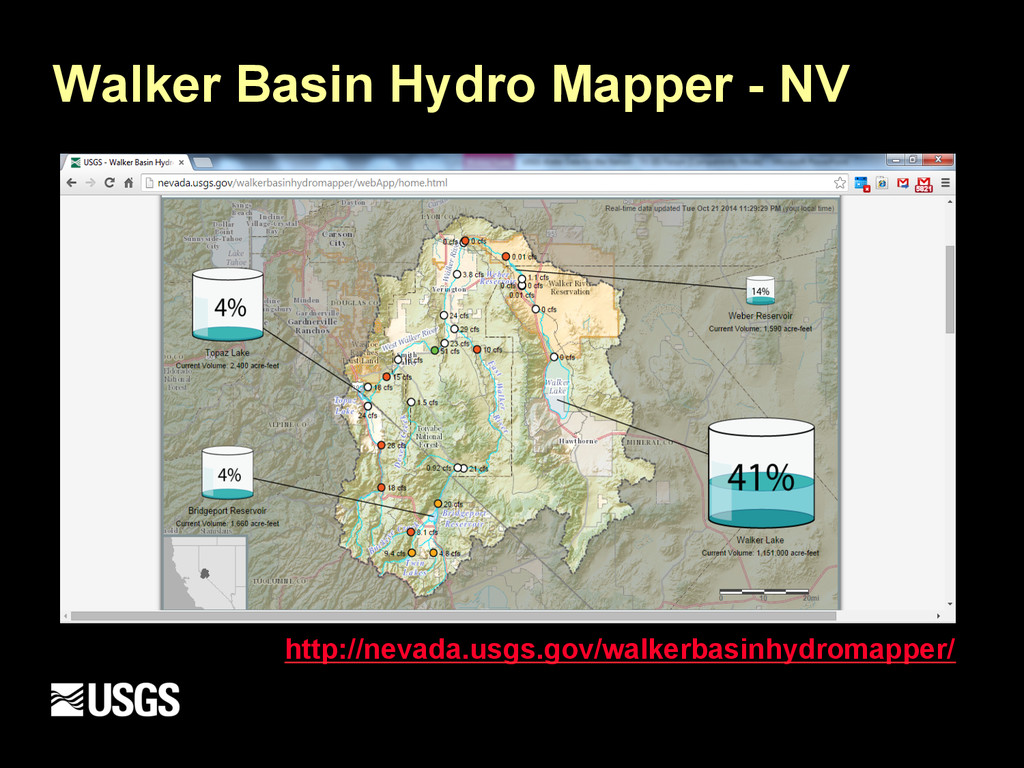
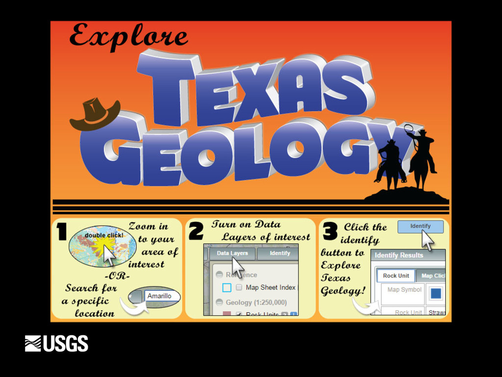
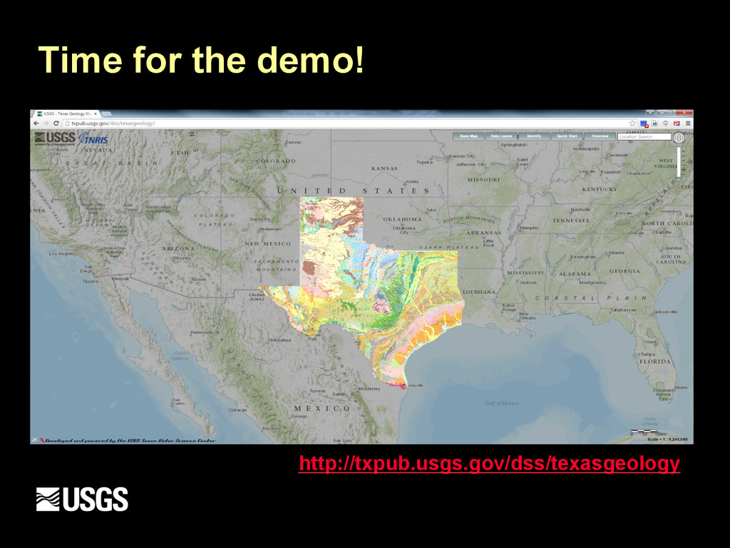
have slowly transitioned from data production shop to web visualization and geospatial analysis § Focused on simplifying our science for public consumption § “Simple, clean and modern” § Why not build a click and point web application to explore the Geology of Texas?
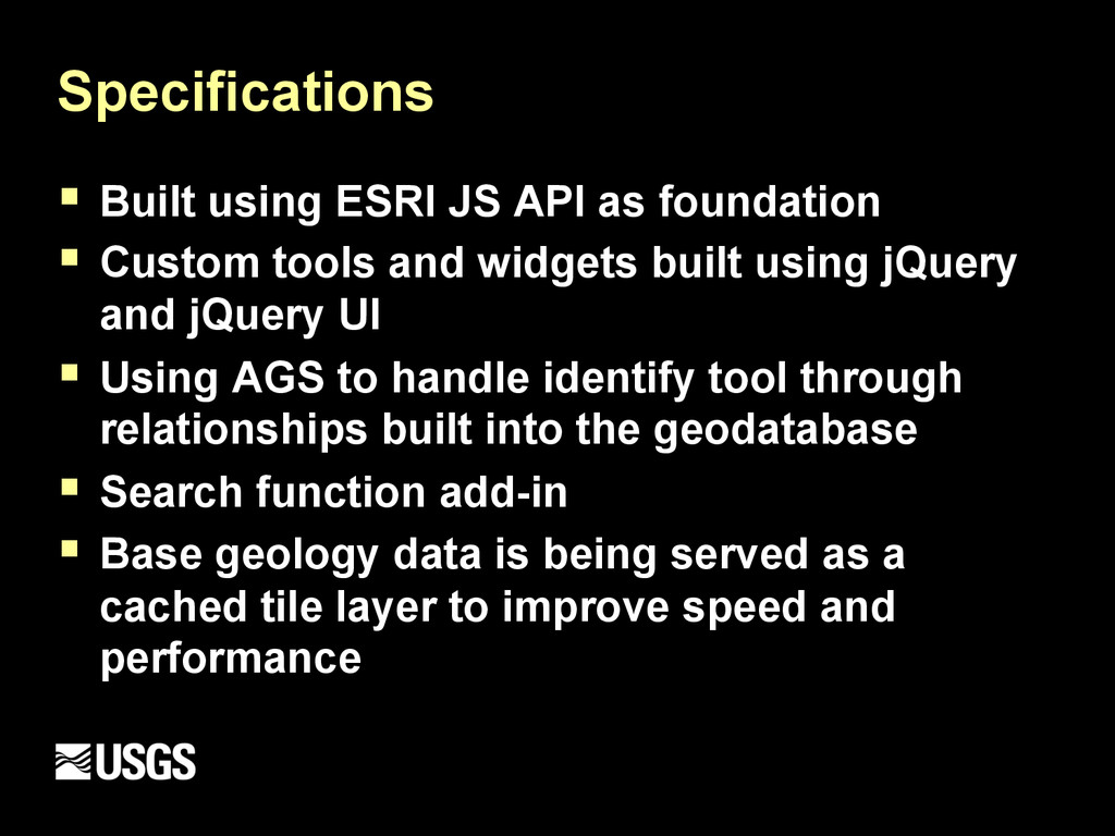
Custom tools and widgets built using jQuery and jQuery UI § Using AGS to handle identify tool through relationships built into the geodatabase § Search function add-in § Base geology data is being served as a cached tile layer to improve speed and performance
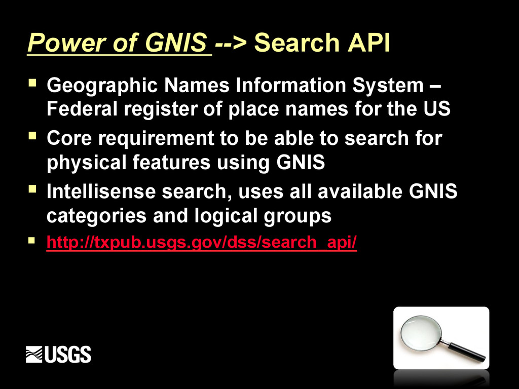
System – Federal register of place names for the US § Core requirement to be able to search for physical features using GNIS § Intellisense search, uses all available GNIS categories and logical groups § http://txpub.usgs.gov/dss/search_api/
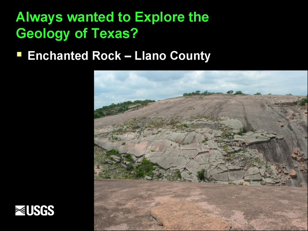
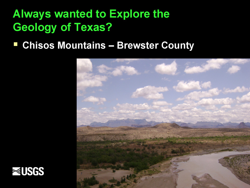
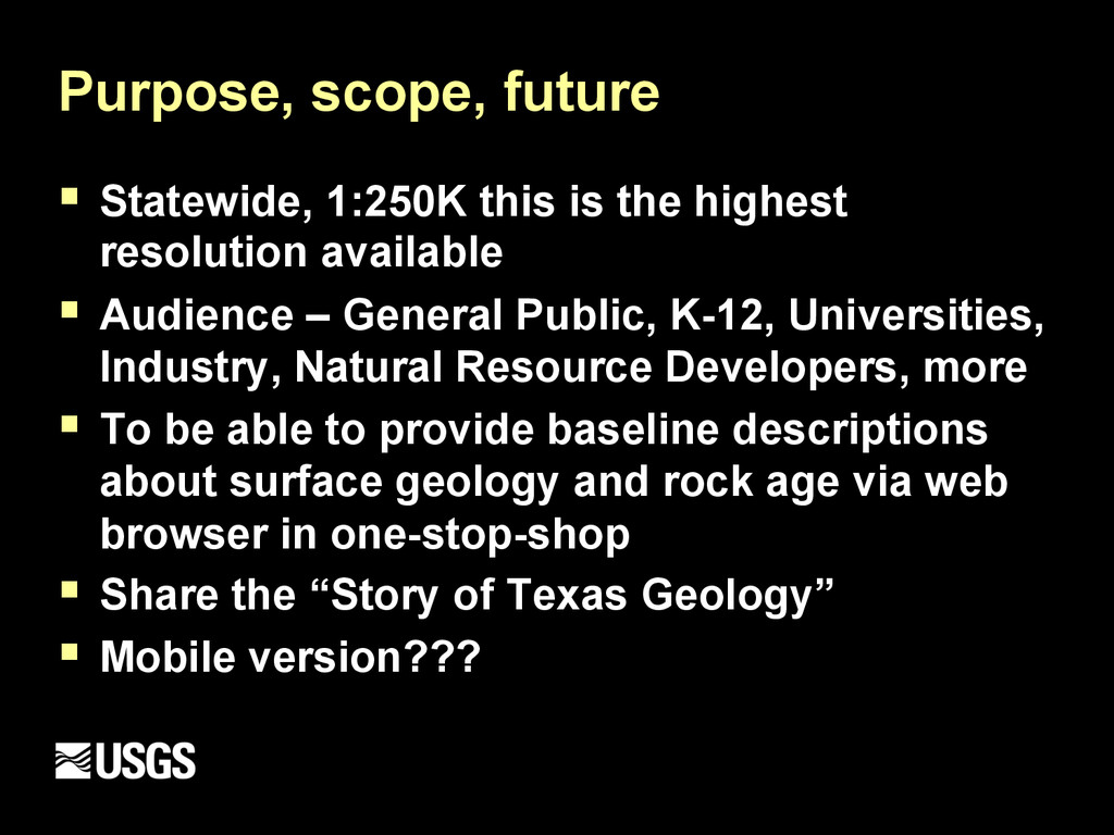
resolution available § Audience – General Public, K-12, Universities, Industry, Natural Resource Developers, more § To be able to provide baseline descriptions about surface geology and rock age via web browser in one-stop-shop § Share the “Story of Texas Geology” § Mobile version???
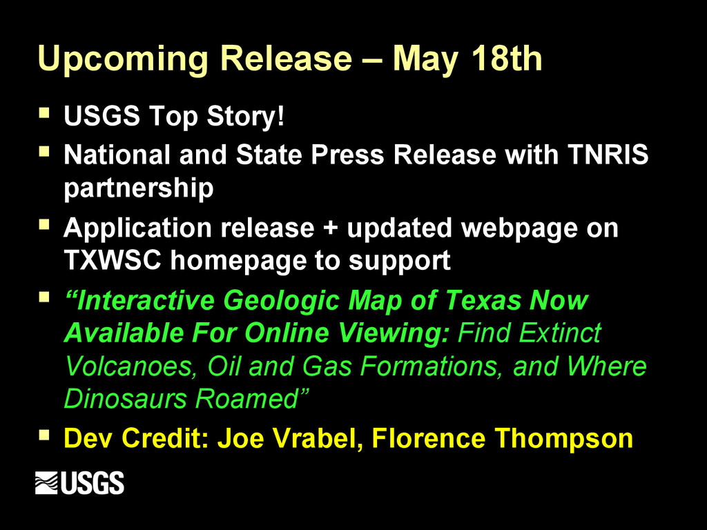
National and State Press Release with TNRIS partnership § Application release + updated webpage on TXWSC homepage to support § “Interactive Geologic Map of Texas Now Available For Online Viewing: Find Extinct Volcanoes, Oil and Gas Formations, and Where Dinosaurs Roamed” § Dev Credit: Joe Vrabel, Florence Thompson