have all of our historic imagery scanned, georeferenced and available through the DataHub website. • TNRIS started small scale scanning of its imagery around 2003-2004, however, only recently have funds become available for mass scanning projects.
for years. • Logistically, implementation of this project had been a struggle. • Funding for a large scale project was not available until FY 19. • Ultimately, this pilot project was fully funded through remaining StratMap/TWDB funds.
all of our allotted $250,000 towards digitization of the TNRIS archive. o We calculated this would cover about 100,000 frames of historic imagery and approximately 5,000 georeferenced images. • The RDC identified 9x9 frames of historic gray scale and natural color imagery that was deemed highest priority. o First priority collections included urban collections, primarily USDA 1950 and earlier, and TXDOT collections post 1950. o Secondary priority collections were those that covered reservoirs for use in future RDC applications. • Scanning kicked-off with our StratMap contract partner AECOM on May 1, 2019 and concluded on August 1, 2019
unaltered. This means that the images resolutions were not resampled, and color depth was not adjusted. • All images were georeferenced in WGS 1984 EPSG/WKID: 4326 • Georeferenced images used the Texas Orthoimagery Program (TOP) 1995/96 dataset as its reference source. • All georeferenced Imagery was transformed to at least a 2nd order polynomial with no fewer with 6 control points per image. • All georeferenced imagery possess a relative accuracy of ~5 pixels or less.
project was successful with 107,000 new digital frames added to our archive. With this first initiative, the RDC currently has digitized about 25% of the TNRIS Archive. • During the last legislative session, StratMap was appropriated funding for various new priorities including additional scanning projects. • Funding for these future projects will be spread across the FY 20/21 biennium. • TNRIS is anticipating starting another scanning project in Spring 2020.
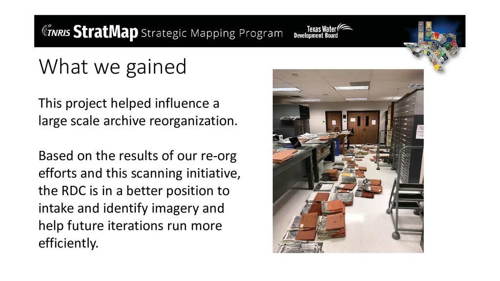
archive reorganization. Based on the results of our re-org efforts and this scanning initiative, the RDC is in a better position to intake and identify imagery and help future iterations run more efficiently.
the Fall to Summer Semesters Application Process: Please submit the following items via email to Kathleen Mack ([email protected]) • Cover Letter • Resume • Unofficial Transcripts • 2 Professional or Academic References • GIS Intern will assist in projects to enhance the ability of TNRIS to serve data to the public. • Work is primarily focused within the Research Distribution Center and will focus on maintaining Historic Archive and TNRIS applications • Additional duties may include fulfilling historical data orders assisting our in-house consultants with imagery orders, and providing QC for incoming orthoimagery and Lidar datasets as needed. For more information or questions please come see us at the TNRIS booth