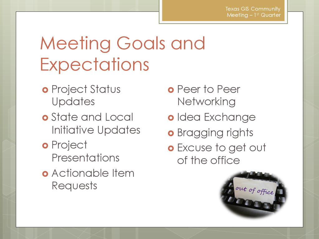
Quarter Project Status Updates State and Local Initiative Updates Project Presentations Actionable Item Requests Peer to Peer Networking Idea Exchange Bragging rights Excuse to get out of the office
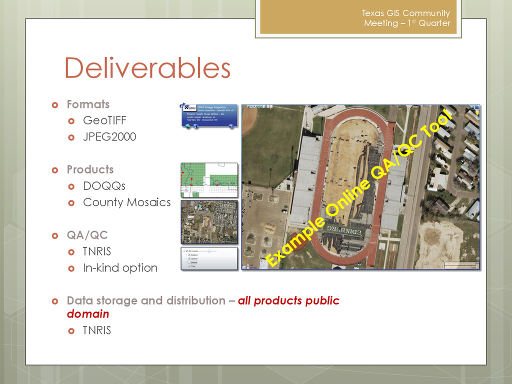
GeoTIFF JPEG2000 Products DOQQs County Mosaics QA/QC TNRIS In-kind option Data storage and distribution – all products public domain TNRIS
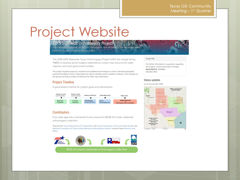
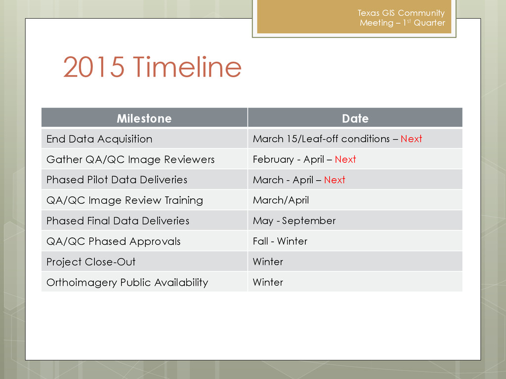
Date End Data Acquisition March 15/Leaf-off conditions – Next Gather QA/QC Image Reviewers February - April – Next Phased Pilot Data Deliveries March - April – Next QA/QC Image Review Training March/April Phased Final Data Deliveries May - September QA/QC Phased Approvals Fall - Winter Project Close-Out Winter Orthoimagery Public Availability Winter
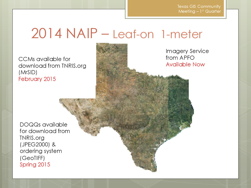
2014 NAIP – Leaf-on 1-meter CCMs available for download from TNRIS.org (MrSID) February 2015 DOQQs available for download from TNRIS.org (JPEG2000) & ordering system (GeoTIFF) Spring 2015 Imagery Service from APFO Available Now
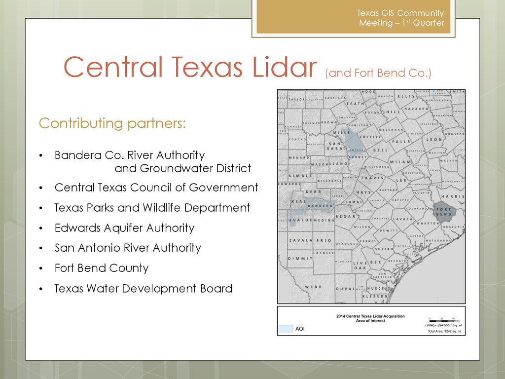
(and Fort Bend Co.) Contributing partners: • Bandera Co. River Authority and Groundwater District • Central Texas Council of Government • Texas Parks and Wildlife Department • Edwards Aquifer Authority • San Antonio River Authority • Fort Bend County • Texas Water Development Board
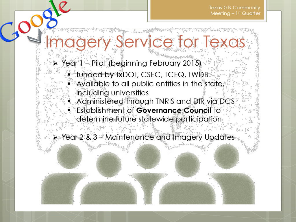
Texas Ø Year 1 – Pilot (beginning February 2015) § funded by TxDOT, CSEC, TCEQ, TWDB § Available to all public entities in the state, including universities § Administered through TNRIS and DIR via DCS § Establishment of Governance Council to determine future statewide participation Ø Year 2 & 3 – Maintenance and Imagery Updates