Upgrade to Pro — share decks privately, control downloads, hide ads and more …

Utilization of GIS at Texas Parks and Wildlife Department

Utilization of GIS at Texas Parks and Wildlife Department

Texas Parks and Wildlife

More Decks by Texas Natural Resources Information System

Other Decks in Technology

Transcript

  1. Utilization of GIS at Texas Parks and Wildlife Department ´ Utilization

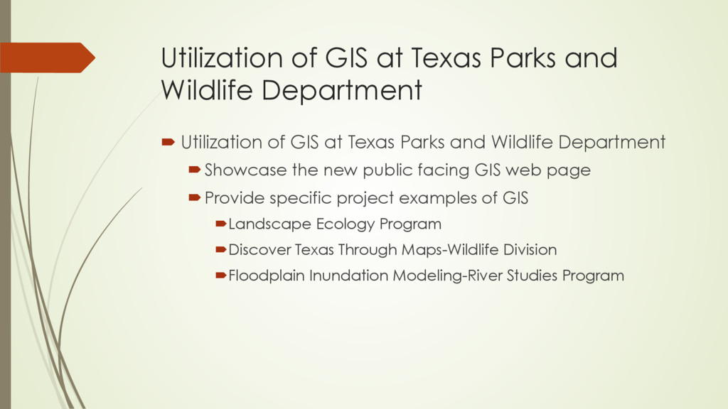
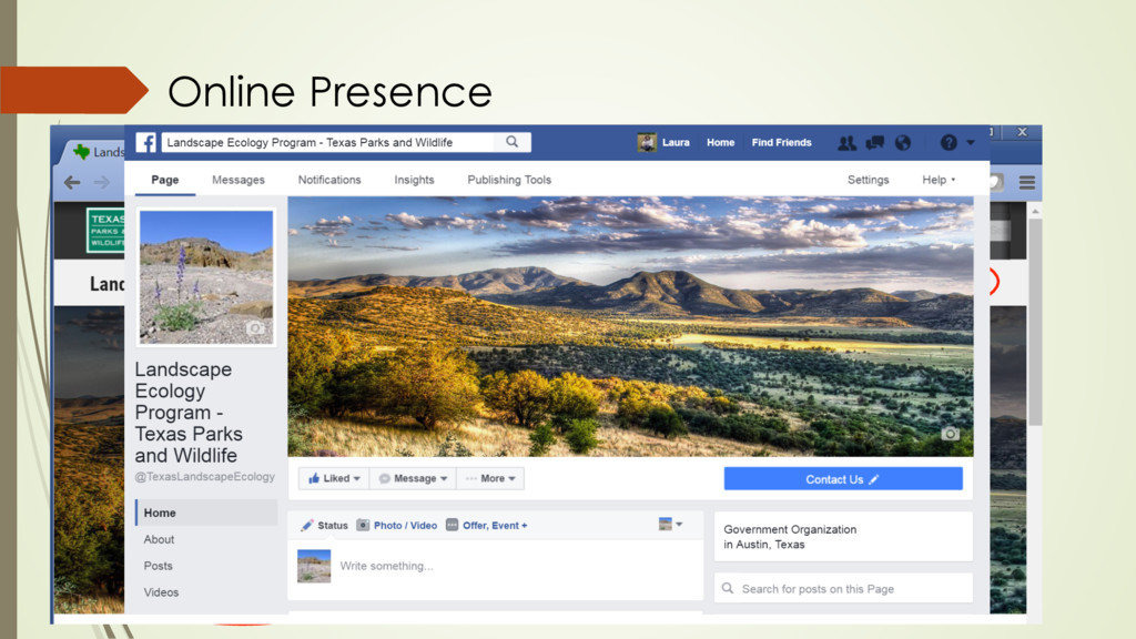
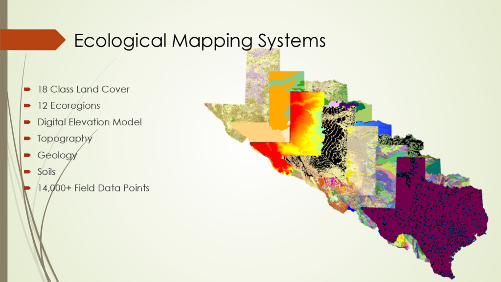
    of GIS at Texas Parks and Wildlife Department ´ Showcase the new public facing GIS web page ´ Provide specific project examples of GIS ´ Landscape Ecology Program ´ Discover Texas Through Maps-Wildlife Division ´ Floodplain Inundation Modeling-River Studies Program
  2. TPWD Public Facing GIS Website ´  BEFORE ´  Applications ´ 

    Gallery ´  Non-Proprietary Datasets ´  Offered as Downloads
  3. TPWD Public Facing GIS Website ´  Finding the Page ´ 

    http://tpwd.texas.gov/ ´  Click “More…” ´  Click “Maps & Data” ´  URL ´  http://tpwd.texas.gov/gis/
  4. TPWD Public Facing GIS Website ´  NOW ´  Applications ´ 

    Thumbnails ´  Titles ´  Description ´  GIS Datasets ´  Categorized as: ´  TPWD proprietary ´  External resources ´  GIS Use ´  TPWD has 11 Divisions ´  7 Divisions are showcased
  5. ´  18 Class Land Cover ´  12 Ecoregions ´  Digital

    Elevation Model ´  Topography ´  Geology ´  Soils ´  14,000+ Field Data Points Ecological Mapping Systems
  6. ´  Statewide ´  398 Vegetation Types ´  10 m spatial

    resolution ´  74-90% Accurate ´  14,000+ Field Data Points ´  19 invasive types mapped Texas Ecological Mapping Systems
  7. ü  Online ü  Google Maps ü  Basic GIS Tools ü 

    User-friendly ü  Creates customized reports ü  FREE!!! *Open in Chrome TEAM App
  8. County Level Endangered Species Info. Background Map op<ons & Zoom

    level Basic Google Maps Tools Available Layers and Display Func<ons Map Area (Viewing Extent) Analysis Wizard Analysis Accordion TEAM App
  9. Just Completed: ´  Buffer points ´  Clip and buffer lines

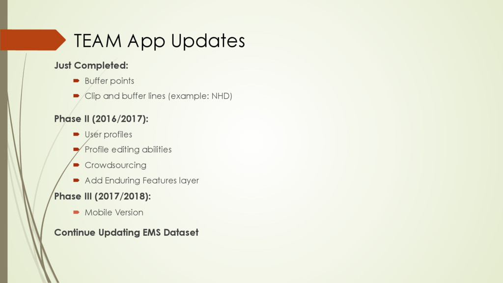
    (example: NHD) Phase II (2016/2017): ´  User profiles ´  Profile editing abilities ´  Crowdsourcing ´  Add Enduring Features layer Phase III (2017/2018): ´  Mobile Version Continue Updating EMS Dataset TEAM App Updates
  10. Discover Texas Through Maps A collection of maps to promote

    exploration and discovery of interesting Texas features. Presenter: Nancy Heger
  11. Development of Middle Trinity River floodplain inundation model for assessing

    Alligator Gar recruitment Kairm Aziz and Clint Robertson - River Studies, TPWD Nolan Raphelt - TWDB
  12. Floodplain Inundation Modeling ´  It’s known that Alligator Gar spawn

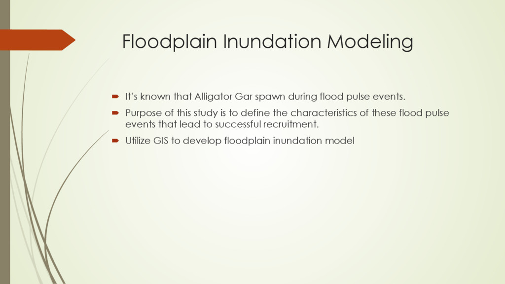
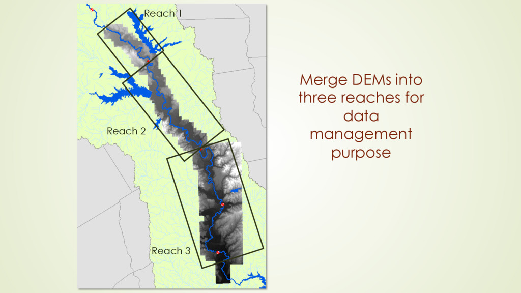
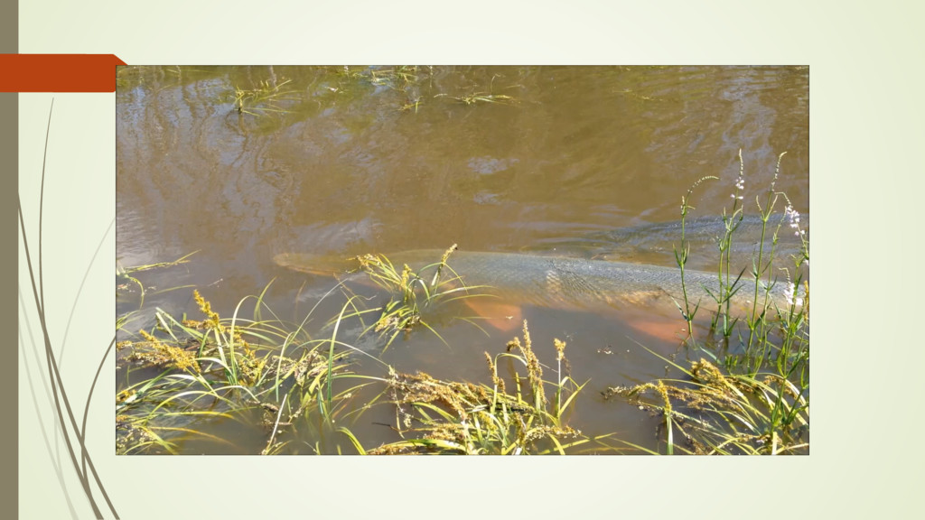
    during flood pulse events. ´  Purpose of this study is to define the characteristics of these flood pulse events that lead to successful recruitment. ´  Utilize GIS to develop floodplain inundation model
  13. GIS Data •  50cm,1m and few 5m DEMs (~1,500 tiles)

    collected from TNRIS and TRA •  HEC RAS model from Tarrant Regional Water District •  Texas Ecological Mapping Systems •  ArcMap and Erdas Imagine
  14. Developing Modeled Water Surfaces: ´ Using HEC RAS model developed by

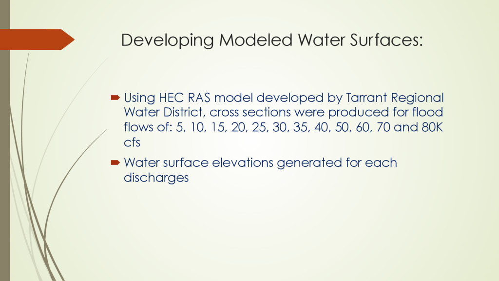
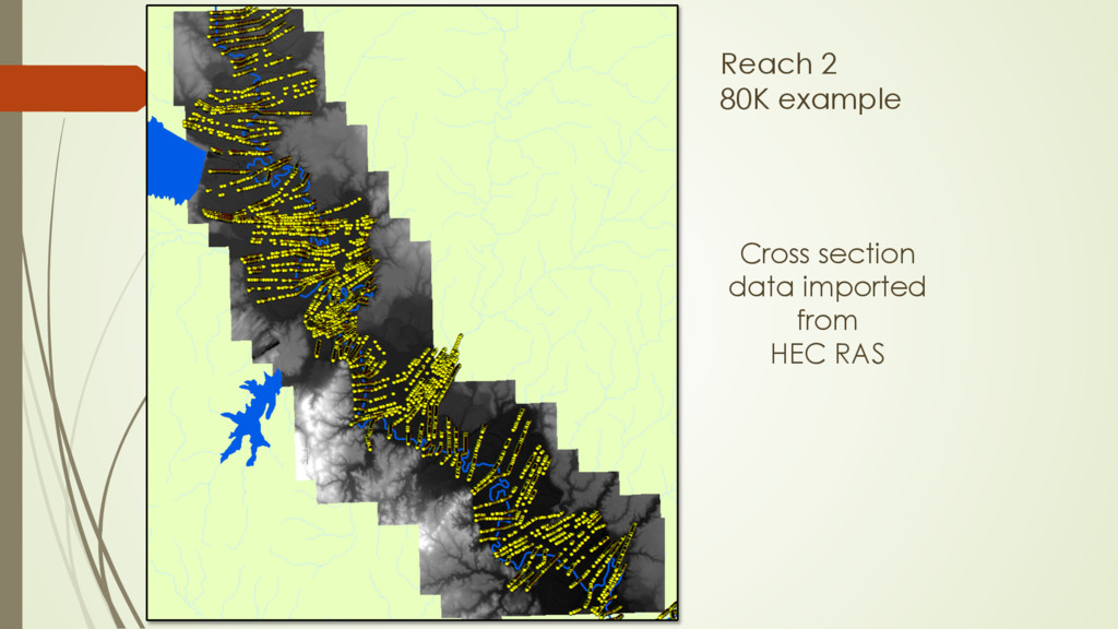
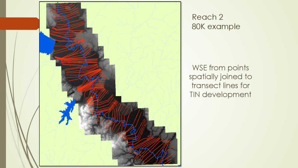
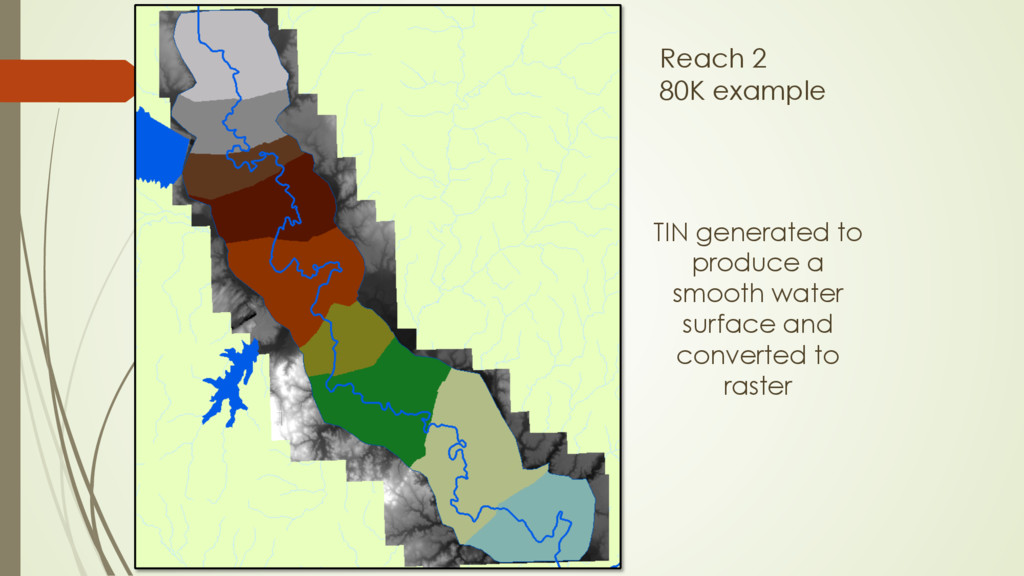
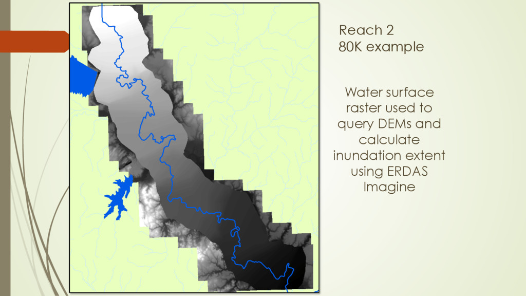
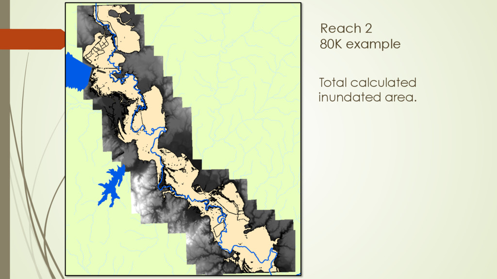
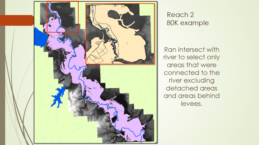
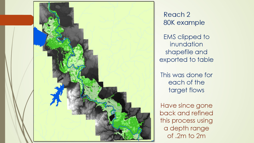
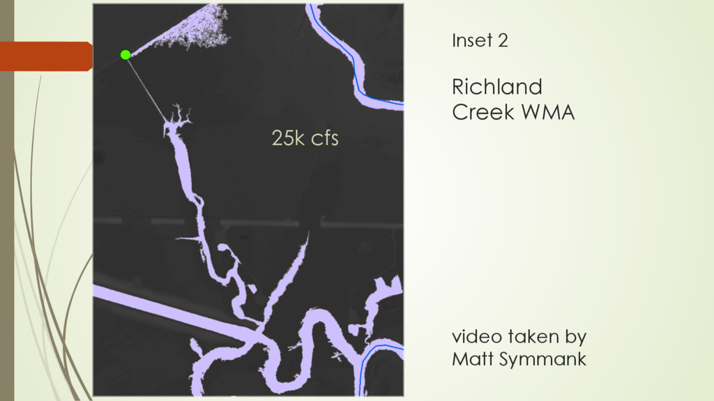
    Tarrant Regional Water District, cross sections were produced for flood flows of: 5, 10, 15, 20, 25, 30, 35, 40, 50, 60, 70 and 80K cfs ´ Water surface elevations generated for each discharges
  15. Water surface raster used to query DEMs and calculate inundation

    extent using ERDAS Imagine Reach 2 80K example
  16. Ran intersect with river to select only areas that were

    connected to the river excluding detached areas and areas behind levees. Reach 2 80K example
  17. Floods of May and June 2015 provided an opportunity to

    collect ground truth points Inset 1 Inset 1
  18. Inset 1 GPS points and discharge measurement at 56k cfs

    Observed difference of 0.~5m 2 miles wide
  19. Inundated Habitat Data ´ Determine types and areas of habitats being

    inundated ´ Vegetation classes ´ Used the Ecological Mapping Systems generated by TPWD
  20. •  Statewide current vegetation data •  Spatial Resolution •  10meters

    •  Thematic Resolution •  398 mapped habitat types •  Abiotic variables (Enduring Features) •  Ground verified •  >14,000 field data points •  Accuracy •  74% to 90% •  Anthropogenic effects •  19 Invasive types mapped Ecological Mapping Systems Data-Inputs Land Cover Digital County Soils Final Mapped Vegetation Types Slopes Flood Plain
  21. EMS clipped to inundation shapefile and exported to table This

    was done for each of the target flows Have since gone back and refined this process using a depth range of .2m to 2m Reach 2 80K example
  22. Alligator Gar Spawning Habitat Previous work in LA and ARK

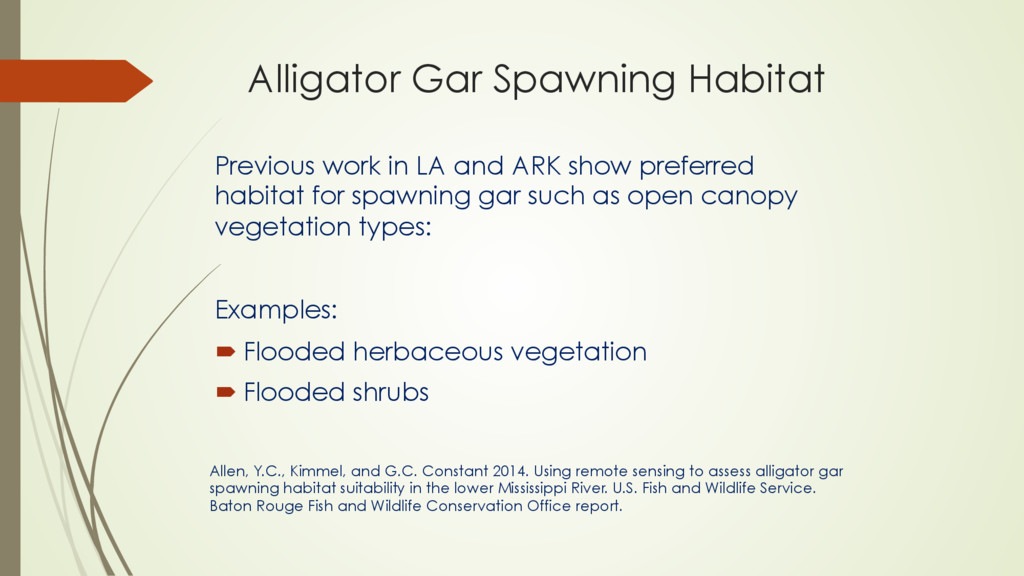
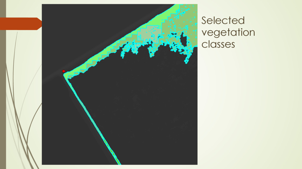
    show preferred habitat for spawning gar such as open canopy vegetation types: Examples: ´ Flooded herbaceous vegetation ´ Flooded shrubs Allen, Y.C., Kimmel, and G.C. Constant 2014. Using remote sensing to assess alligator gar spawning habitat suitability in the lower Mississippi River. U.S. Fish and Wildlife Service. Baton Rouge Fish and Wildlife Conservation Office report.
  23. Floodplain Hardwood Forest Floodplain Deciduous Shrubland Floodplain Herbaceous Vegetation Floodplain

    Seasonally Flooded Hardwood Forest I had Matt Symmank look at these and he confirmed the area of interest was Herbaceous Vegetation EMS classes where spawning gar were found:
  24. Acknowledgements Alice Godbey – TRWD Dr. Thom Hardy – TSU

    Duane German– TPWD Dan Bennett – TPWD Dave Buckmeier – TPWD Nate Smith – TPWD Dan Daugherty – TPWD
  25. Ø  Laura Clark Ø  Biologist / GIS Analyst Ø  Executive

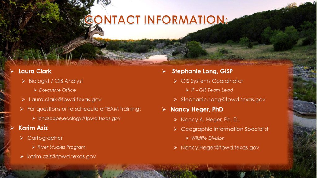
    Office Ø  [email protected] Ø  For questions or to schedule a TEAM training: Ø  [email protected] Ø  Karim Aziz Ø  Cartographer Ø  River Studies Program Ø  [email protected] Ø  Stephanie Long, GISP Ø  GIS Systems Coordinator Ø  IT – GIS Team Lead Ø  [email protected] Ø  Nancy Heger, PhD Ø  Nancy A. Heger, Ph. D. Ø  Geographic Information Specialist Ø  Wildlife Division Ø  [email protected]