• Youth in cities like Stockholm & Helsinki don't want to get a driver's license anymore • Different customer profiles – Daily customers of public transport, commuting – Car owners → Mobility as a Service (MaaS) – Tourists
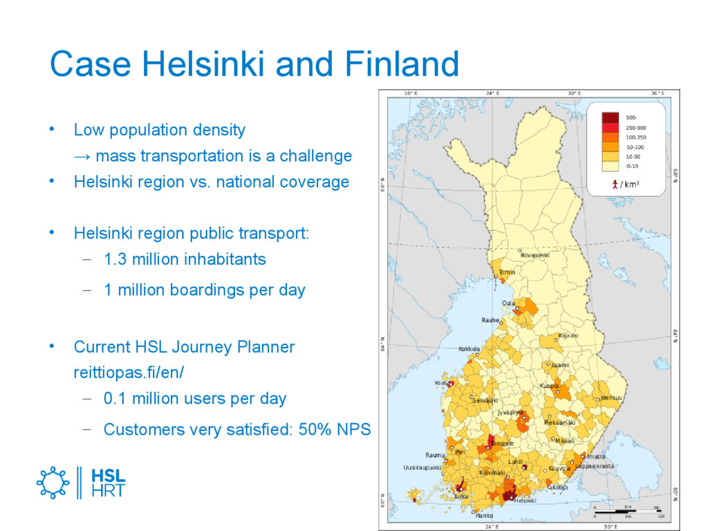
transportation is a challenge • Helsinki region vs. national coverage • Helsinki region public transport: – 1.3 million inhabitants – 1 million boardings per day • Current HSL Journey Planner reittiopas.fi/en/ – 0.1 million users per day – Customers very satisfied: 50% NPS
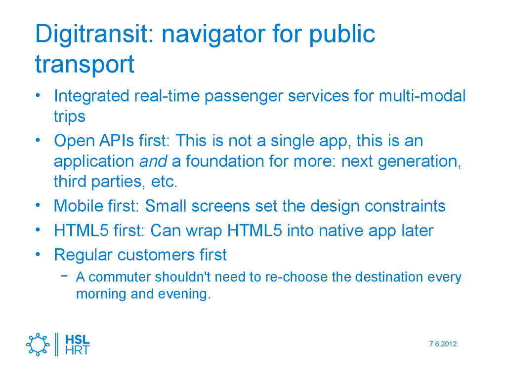
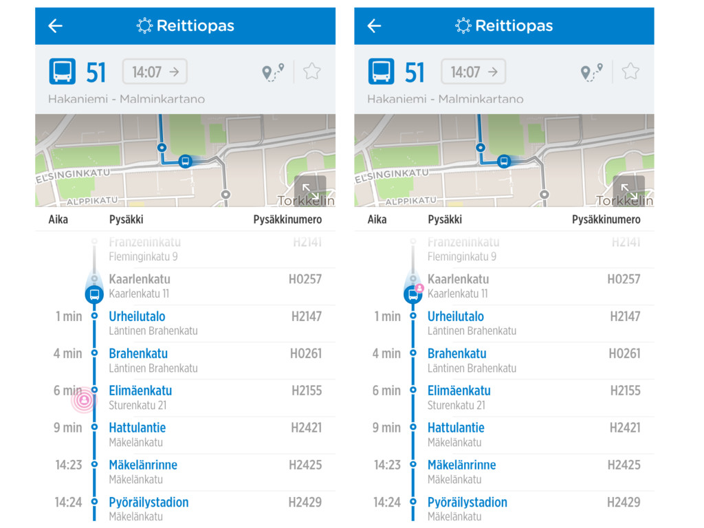
services for multi-modal trips • Open APIs first: This is not a single app, this is an application and a foundation for more: next generation, third parties, etc. • Mobile first: Small screens set the design constraints • HTML5 first: Can wrap HTML5 into native app later • Regular customers first − A commuter shouldn't need to re-choose the destination every morning and evening.
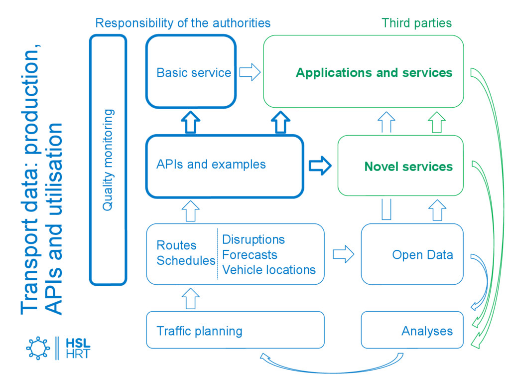
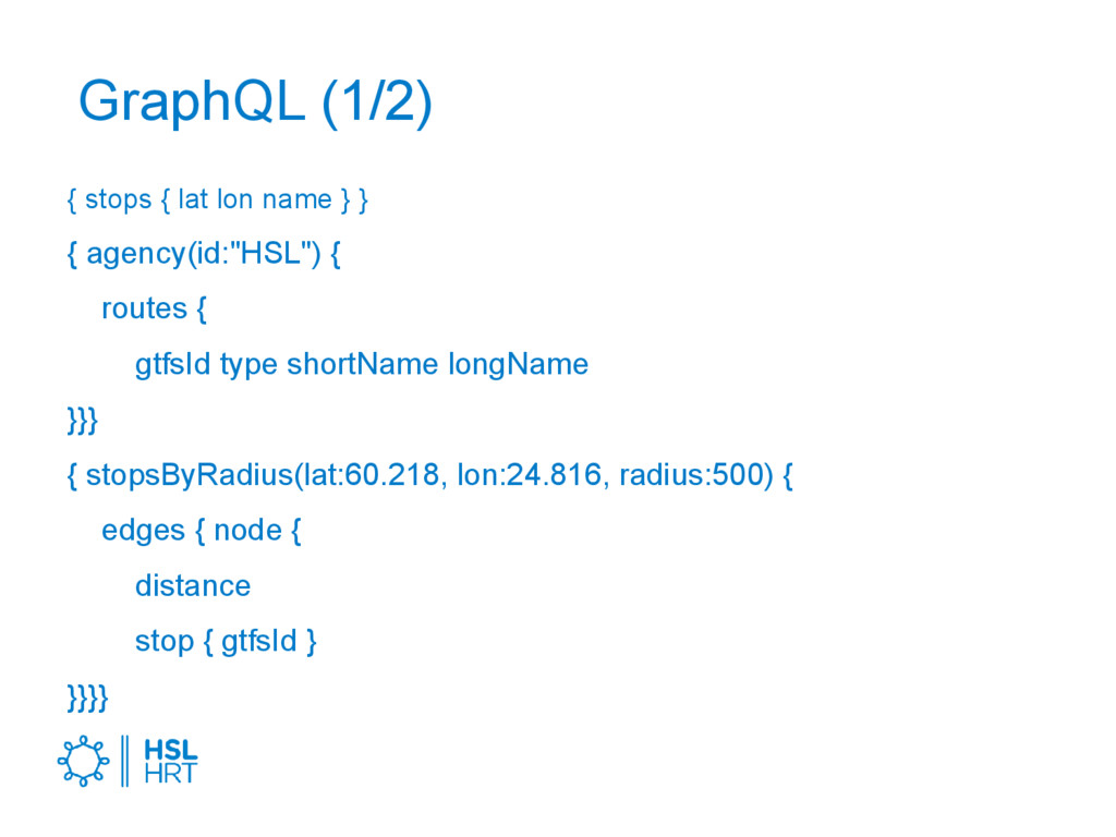
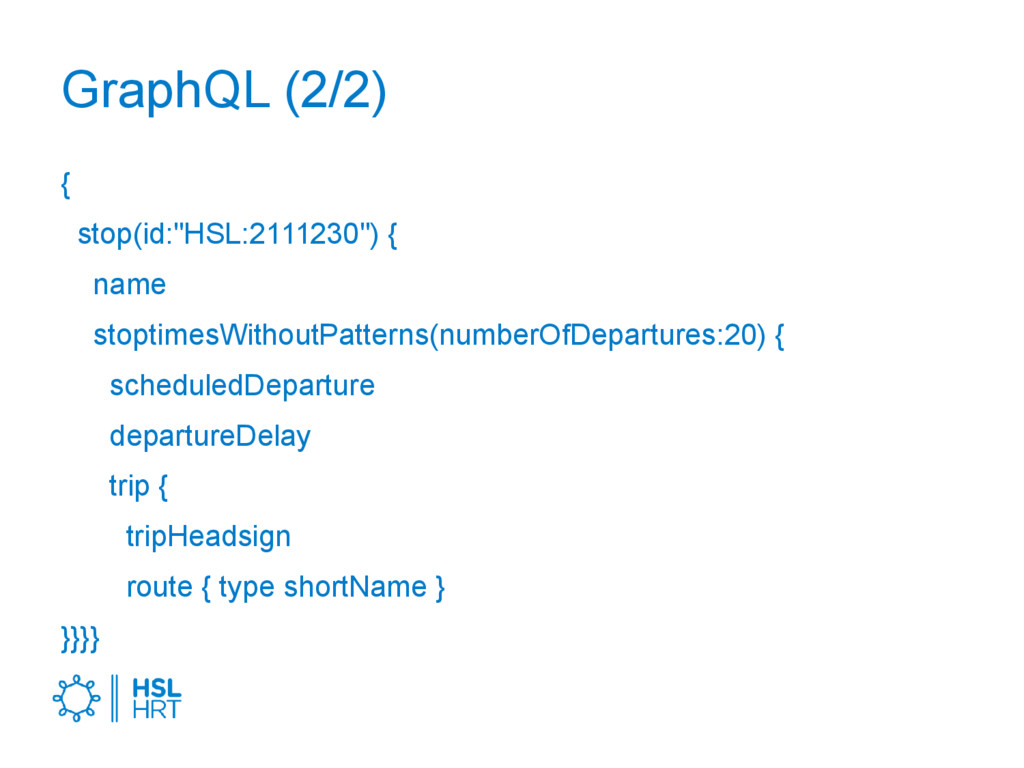
Traffic planning APIs and examples Transport data: production, APIs and utilisation Open Data Novel services Responsibility of the authorities Third parties Disruptions Forecasts Vehicle locations
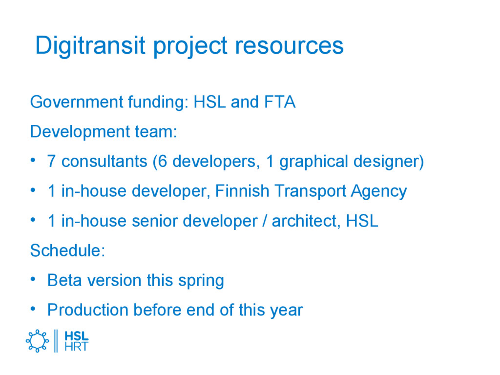
• 7 consultants (6 developers, 1 graphical designer) • 1 in-house developer, Finnish Transport Agency • 1 in-house senior developer / architect, HSL Schedule: • Beta version this spring • Production before end of this year
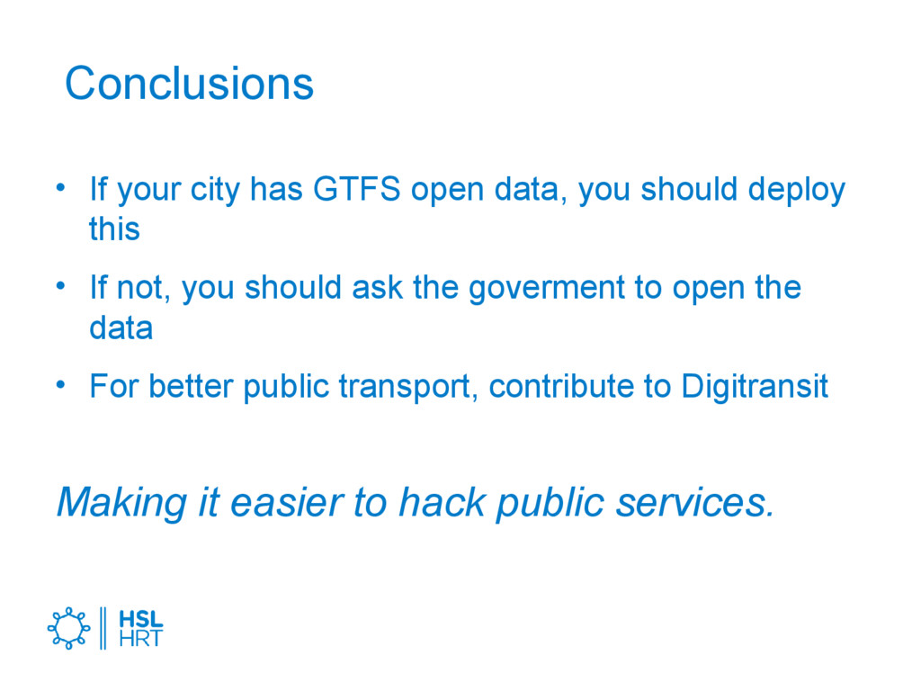
should deploy this • If not, you should ask the goverment to open the data • For better public transport, contribute to Digitransit Making it easier to hack public services.
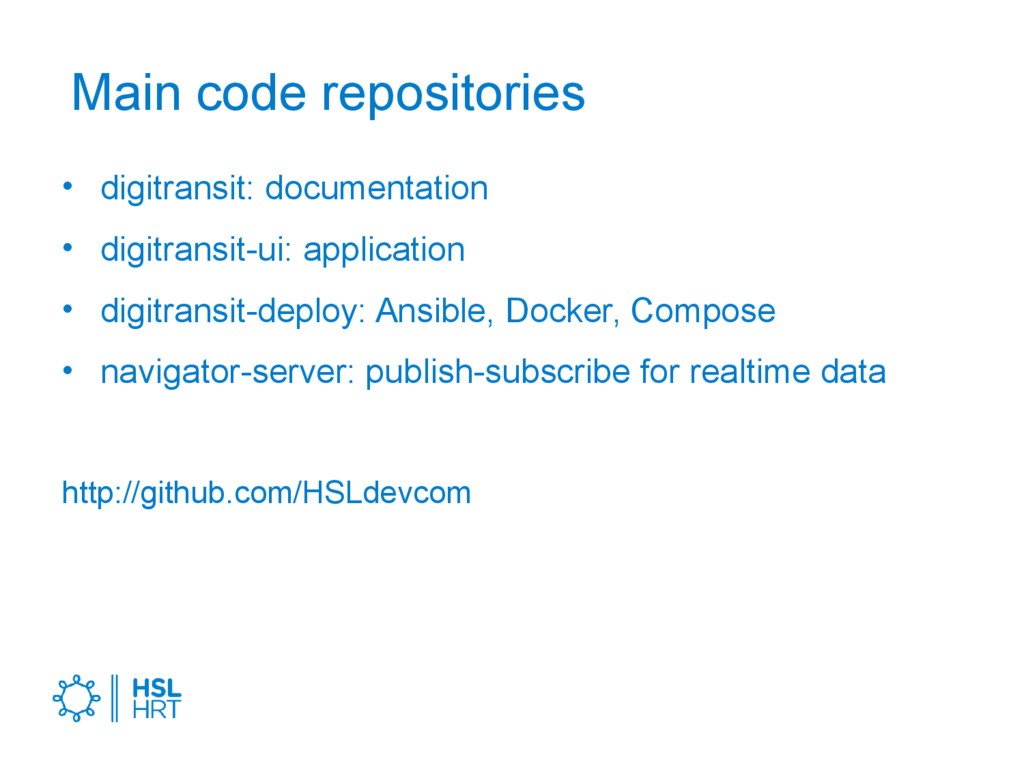
![Thank you! @tuukkah [email protected] Project site: digitransit.fi/en Belgium demo: dev.hsl.fi/belgium](https://files.speakerdeck.com/presentations/8c0204b92b014777ac6313e07349e3b4/slide_19.jpg)