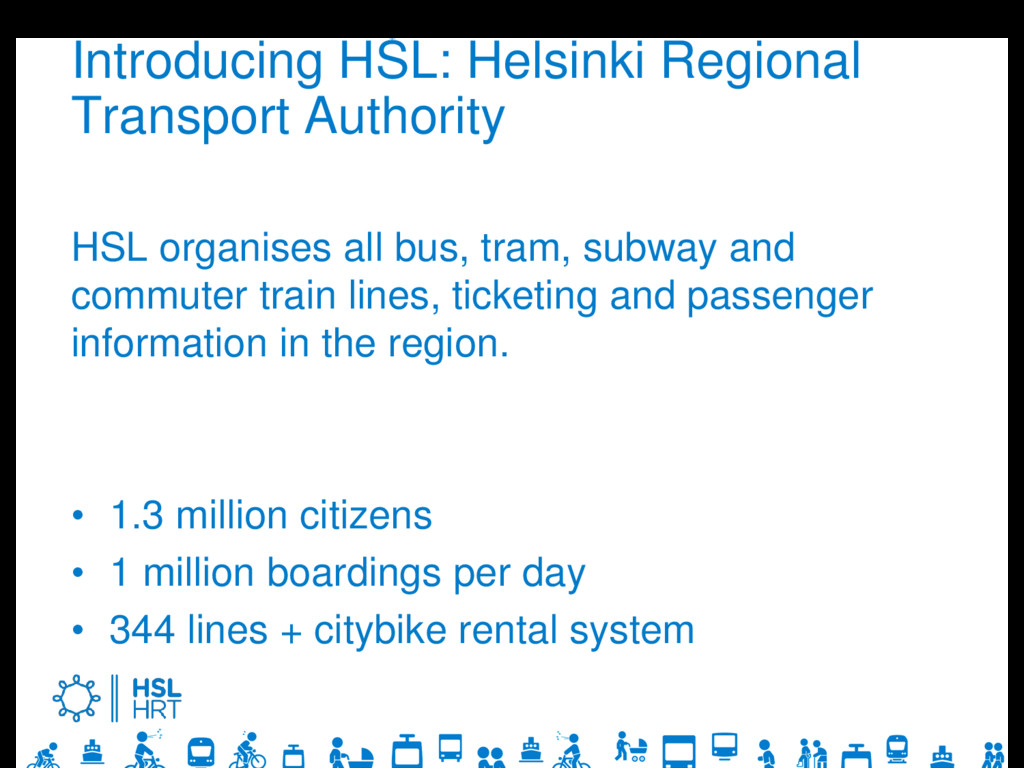
tram, subway and commuter train lines, ticketing and passenger information in the region. • 1.3 million citizens • 1 million boardings per day • 344 lines + citybike rental system
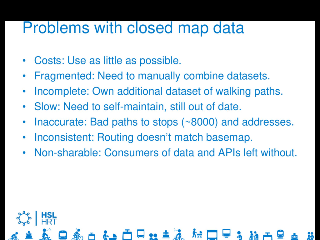
as possible. • Fragmented: Need to manually combine datasets. • Incomplete: Own additional dataset of walking paths. • Slow: Need to self-maintain, still out of date. • Inaccurate: Bad paths to stops (~8000) and addresses. • Inconsistent: Routing doesn’t match basemap. • Non-sharable: Consumers of data and APIs left without.
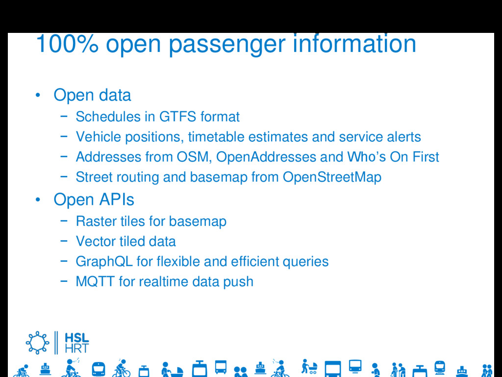
GTFS format − Vehicle positions, timetable estimates and service alerts − Addresses from OSM, OpenAddresses and Who’s On First − Street routing and basemap from OpenStreetMap • Open APIs − Raster tiles for basemap − Vector tiled data − GraphQL for flexible and efficient queries − MQTT for realtime data push
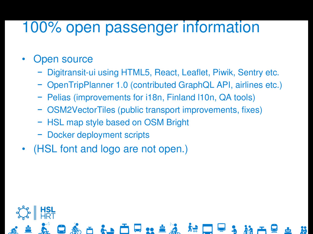
HTML5, React, Leaflet, Piwik, Sentry etc. − OpenTripPlanner 1.0 (contributed GraphQL API, airlines etc.) − Pelias (improvements for i18n, Finland l10n, QA tools) − OSM2VectorTiles (public transport improvements, fixes) − HSL map style based on OSM Bright − Docker deployment scripts • (HSL font and logo are not open.)
Finland provided by Finnish Transport Agency • Finnish cities in the works by Waltti travel card • Norway provided by Nasjonal Reiseplanlegger • South Tyrol, Italy provided by SASA • Tallinn, Estonia in the works as a EU project
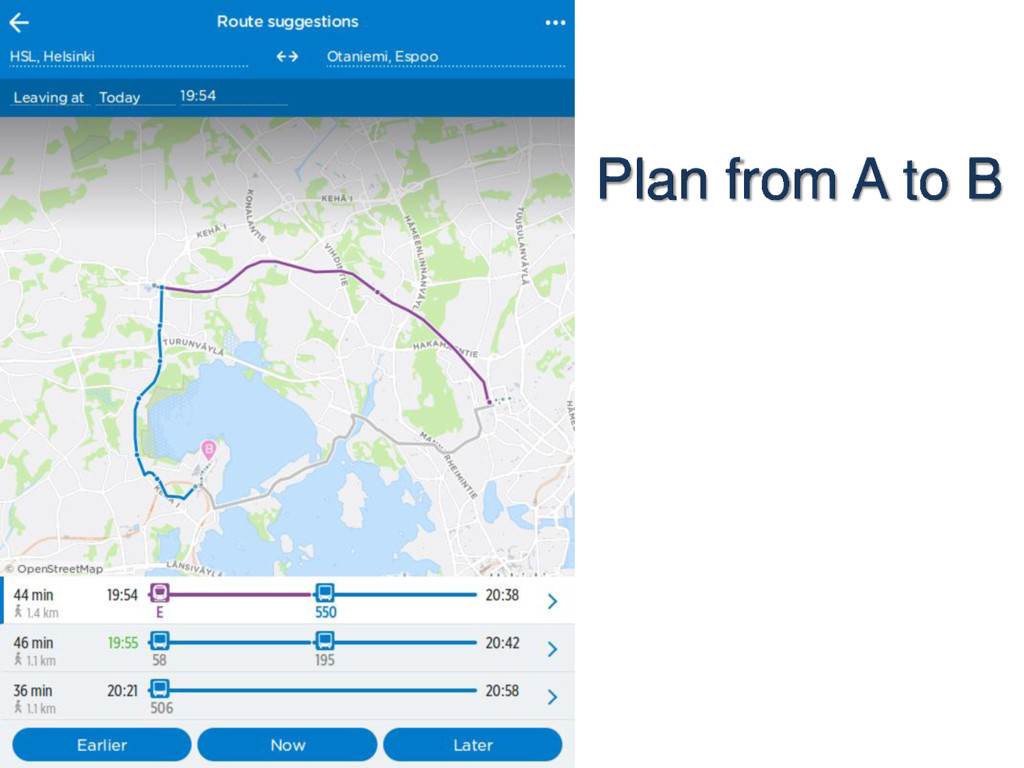
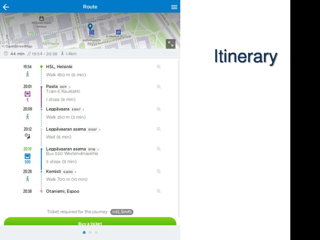
car, public transport • Routing based on realtime data and elevation profile. • Routing configurable by many parameters. • Next generation, lighter codebase in the works as R5 (Rapid Realistic Routing on Real-world and Reimagined networks).
to go places taking advantage of public transport. − Public transport routing on OpenStreetMap.org front page to help how to get there, what route is best, realtime situation? • Raise awareness among government, cities, citizens, developers, consultants, IT students, researchers. • Bring new users and contributors for crowdsourced validation, especially routability, access, addresses. • Mapping and validation work by government
own namespace − hsl_thinks:access=no • Clear separation of ODBL and government open data • Completion of goverment open data import in Finland • 3D editing of station indoor areas.