Upgrade to Pro — share decks privately, control downloads, hide ads and more …

CGIAR Open Access and Spatial Data Management: The ILRI Approach

CGIAR-CSI
September 23, 2014
29

CGIAR Open Access and Spatial Data Management: The ILRI Approach

CGIAR-CSI

September 23, 2014
Tweet

Transcript

  1. Overview ❑ CGIAR Policy on Open Access & Data Management

    was approved by the CGIAR Consortium on October 2, 2013. ! ❑ CGIAR members and their partners within the scope of the Strategy and Results Framework(“SRF”) and the CGIAR Research Programs (“CRPs”)are required to Implement and comply by CGIAR Policy on Open Access & Data Management between effective date and 2018. ! ❑ The policy is implemented by CENTRES (assuming that CRPs use the same standards as defined by the lead centre for each
  2. Background ❑ ILRI leads the CGIAR Research Program (CRP) on

    Livestock and Fish (L&F), a component of the CRP on Agriculture for Nutrition and Health on the prevention and control of agriculture-associated diseases (A4NH), and contributes to six other CRPs. ❑ ILRI has taken to a centre-level the various standards of the CGIAR policy on Open- Access & Data Management and developed its implementation plan for this. ❑ Implementation is for open-access of all knowledge products including spatial data and data management of both spatial and non-spatial data. ❑ Many activities are already ongoing…
  3. Guiding Principles ❑ A positive research data management culture –

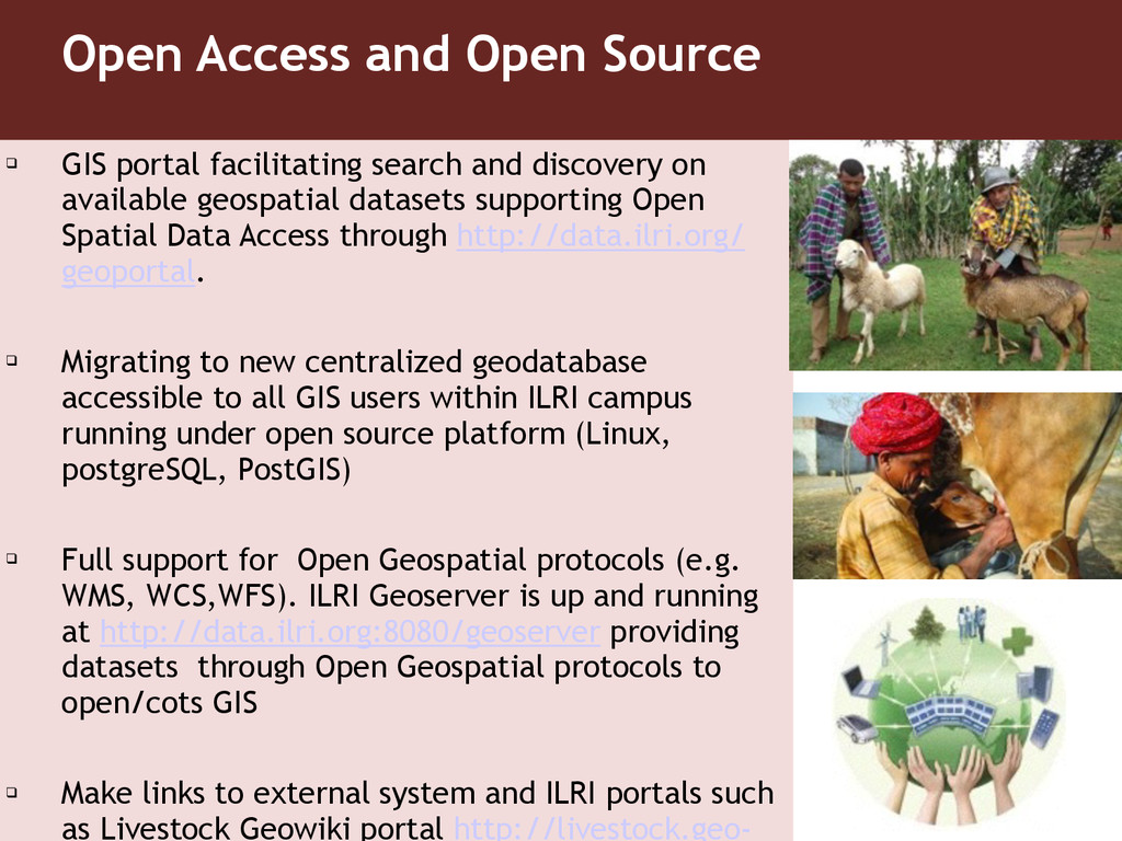
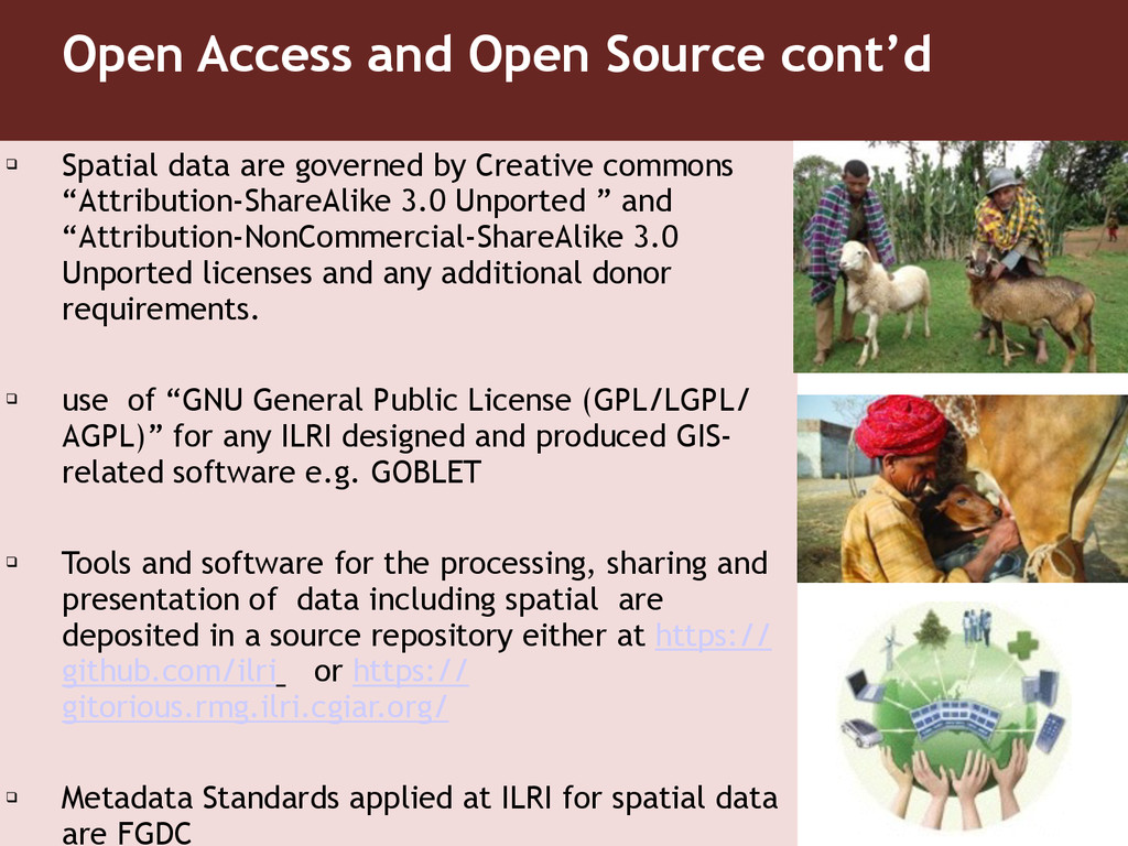
    Staff(all cadre) and partner institutions adopt good data management culture in their roles and responsibilities ❑ Open Access and Open Source – Irrevocable, unrestricted and free access to information products, and unrestricted re- use of content – Tool licenses to allow users to remix, tweak, and build upon ILRI’s work – dissemination of research data to the public, including metadata and related research products – all necessary raw data made public to reproduce or replicate every scientific publication
  4. Guiding Principles Cont’d ❑ Documentation and metadata – information about

    the structure and type of dataset to aid reuse – relevant sampling or experimental design protocols, statistical analysis scripts and other related tools used – Derived information products may be included ❑ Storage and security – repository with flexible but robust access control ❑ Learning across research activities – data collection in ILRI bilateral projects and CRPs designed to provide commonality in the generation of key indicators
  5. Guiding Principles Cont’d ❑ A well-defined research data management process

    – clearly defined and documented data management process for all ILRI projects and CRP activities regardless of disparate methods( level of complexity and detail may differ project to project) ❑ Quality assurance standards – Well documented explicit data validation procedures – logging of changes made to raw data recording date, time and person – zero tolerance to data manipulation or falsification ❑ Ethics – Confidentiality of data on human subjects
  6. Guiding Principles Cont’d ❑ Collaboration with partners throughout the data

    management process – Data should be made available to partners in the whole management process – Data access to respect data ownership and sharing agreements. ❑ Interoperability (& Open-Linked Data) – ability to interoperate - or intermix - different datasets ❑ Capacity development in research data management – data management capacity development to all staff
  7. Open Access and Open Source ❑ GIS portal facilitating search

    and discovery on available geospatial datasets supporting Open Spatial Data Access through http://data.ilri.org/ geoportal. ! ❑ Migrating to new centralized geodatabase accessible to all GIS users within ILRI campus running under open source platform (Linux, postgreSQL, PostGIS) ! ❑ Full support for Open Geospatial protocols (e.g. WMS, WCS,WFS). ILRI Geoserver is up and running at http://data.ilri.org:8080/geoserver providing datasets through Open Geospatial protocols to open/cots GIS ! ❑ Make links to external system and ILRI portals such as Livestock Geowiki portal http://livestock.geo-
  8. Open Access and Open Source cont’d ❑ Spatial data are

    governed by Creative commons “Attribution-ShareAlike 3.0 Unported ” and “Attribution-NonCommercial-ShareAlike 3.0 Unported licenses and any additional donor requirements. ! ❑ use of “GNU General Public License (GPL/LGPL/ AGPL)” for any ILRI designed and produced GIS- related software e.g. GOBLET ! ❑ Tools and software for the processing, sharing and presentation of data including spatial are deposited in a source repository either at https:// github.com/ilri or https:// gitorious.rmg.ilri.cgiar.org/ ! ❑ Metadata Standards applied at ILRI for spatial data are FGDC
  9. Tools Database ❑ related to CRP Humidtropics – ILRI !

    ❑ to create a searchable database of useful tools for research in developing countries ! ❑ Special targeting and spatial tool category ! ❑ Complies with the open access policy ! ❑ Will be online at tools.ilri.org by December 2014 and link the data, the geo-data and the tool portal in one searchable database ! ❑ Lead person Catherine Pfeifer ([email protected]):
  10. ILRI Livestock geo-wiki ❑ online crowd-sourcing platform in collaboration with

    IIASA ❑ Currently used to validate manure maps through experts and share ILRI/FAO livestock distribution and H7N9 risk maps ❑ Planned used to validate index-based livestock insurance work in northern Kenya and Ethiopia through pastoralists with a mobile phone application ❑ Will include a module allowing for online similarity mapping ❑ Lead Person ILRI Geo-Wiki (Tim Robinson, [email protected])