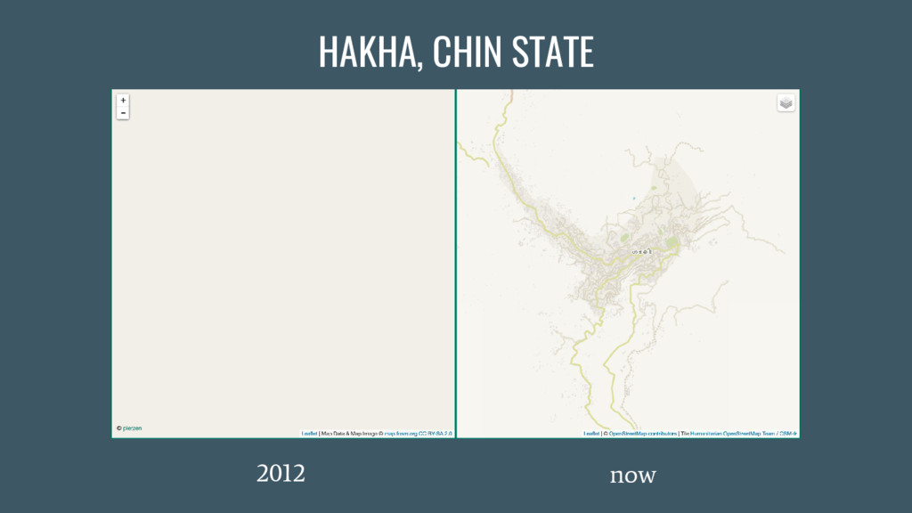
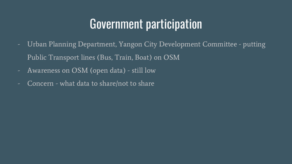
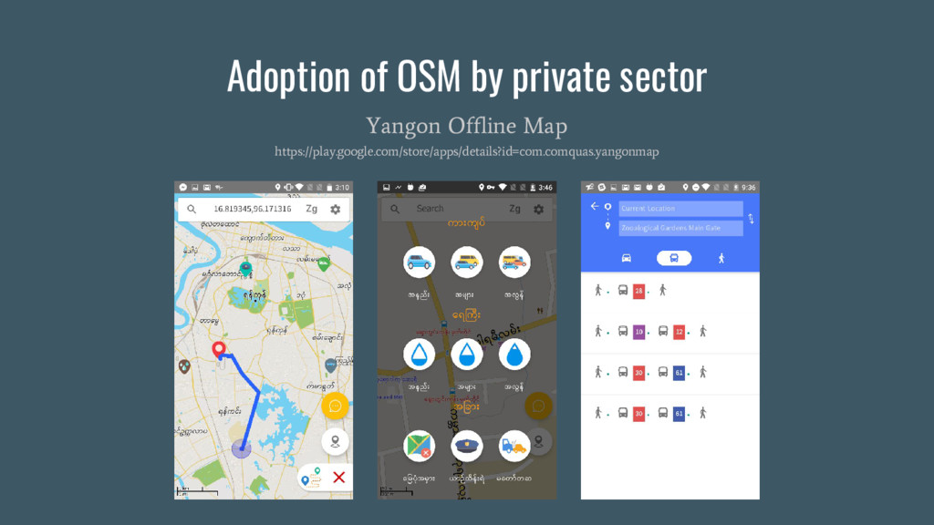
occurred in Chin State. Most of Geographer , Geologists and Geospatial from Geoinformatics Society in Myanmar were strongly involved in HOT’s remote mapping of Chin state. - Urban Planning Department, Yangon City Development Committee - putting Public Transport lines (Bus, Train, Boat) on OSM
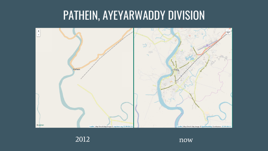
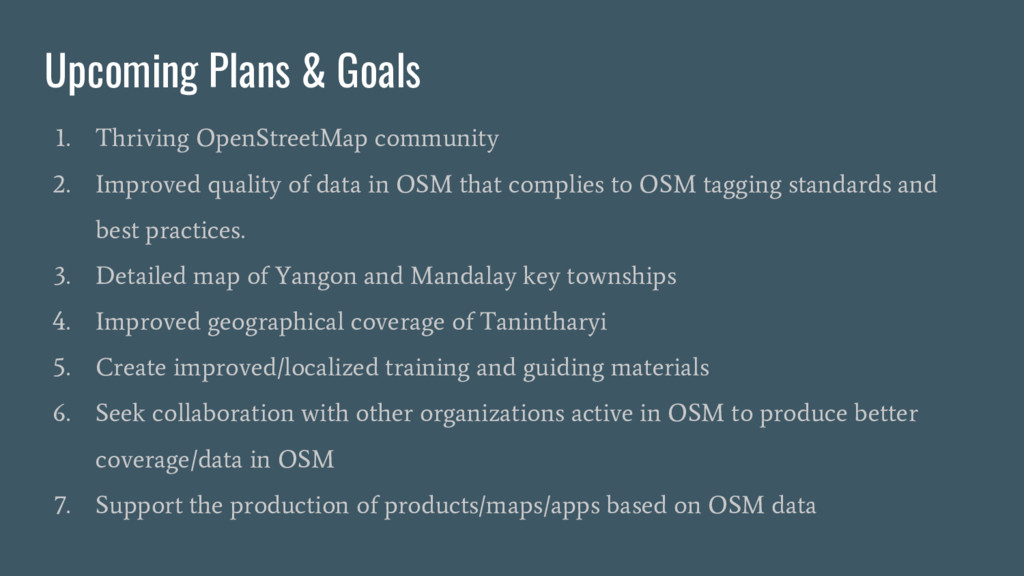
quality of data in OSM that complies to OSM tagging standards and best practices. 3. Detailed map of Yangon and Mandalay key townships 4. Improved geographical coverage of Tanintharyi 5. Create improved/localized training and guiding materials 6. Seek collaboration with other organizations active in OSM to produce better coverage/data in OSM 7. Support the production of products/maps/apps based on OSM data