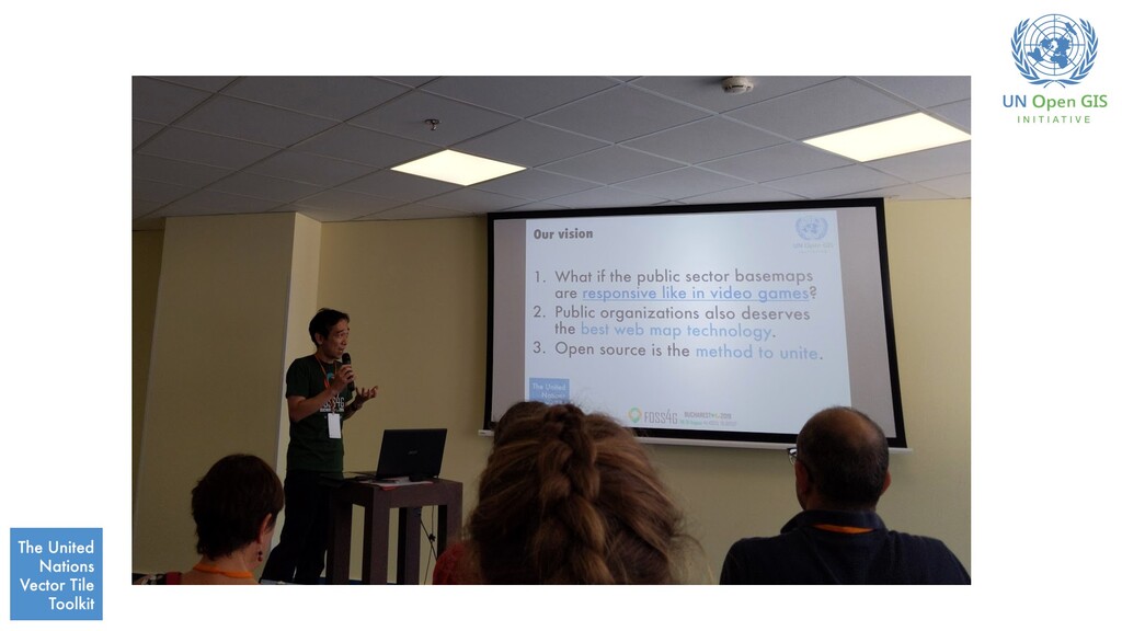
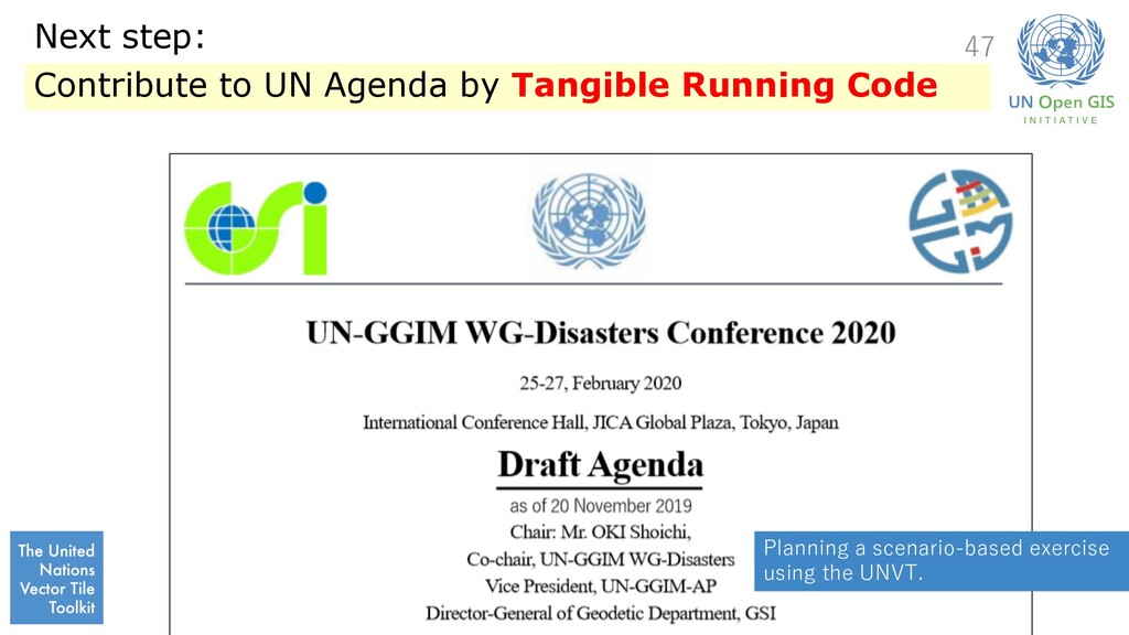
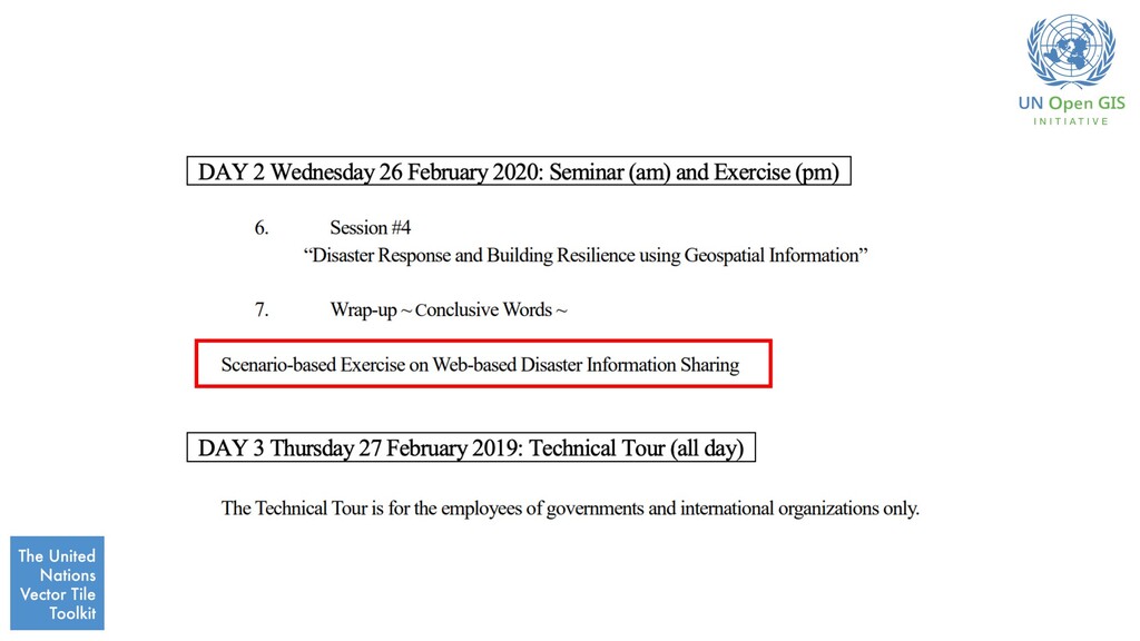
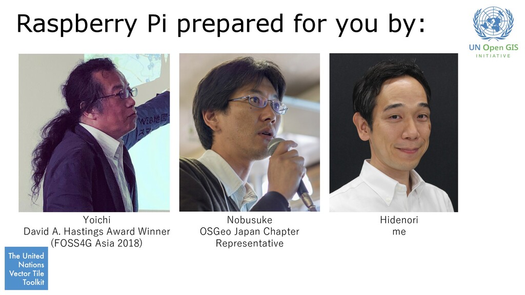
GGIM Hidenori Executive Officer for Geospatial Information Policy, GSI Lead, the United Nations Vector Tile Toolkit Lead, Task Group B, UN-GGIM WG-Disasters 2019-12-03T13:10/16:30
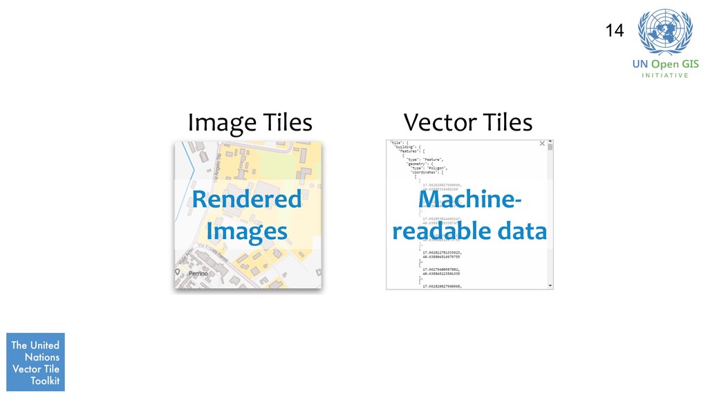
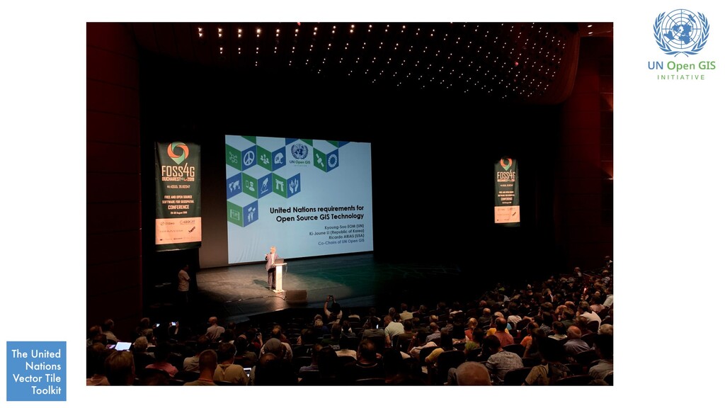
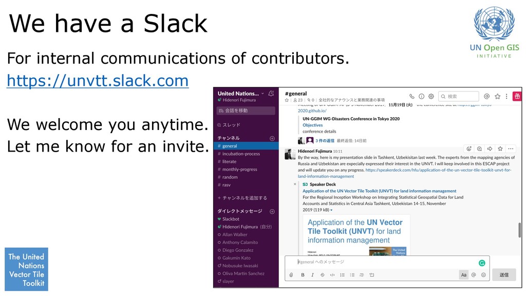
software toolkit to support anyone to produce, host, style and optimize basemap-grade vector tiles. • Vector Tile: a de-facto standard vector geospatial data for web maps. • GGIM: the United Nations Committee of Experts for Global Geospatial Information Management. This session tries to demonstrate the UN Vector Tile Toolkit in the context of supporting the UN Member States.
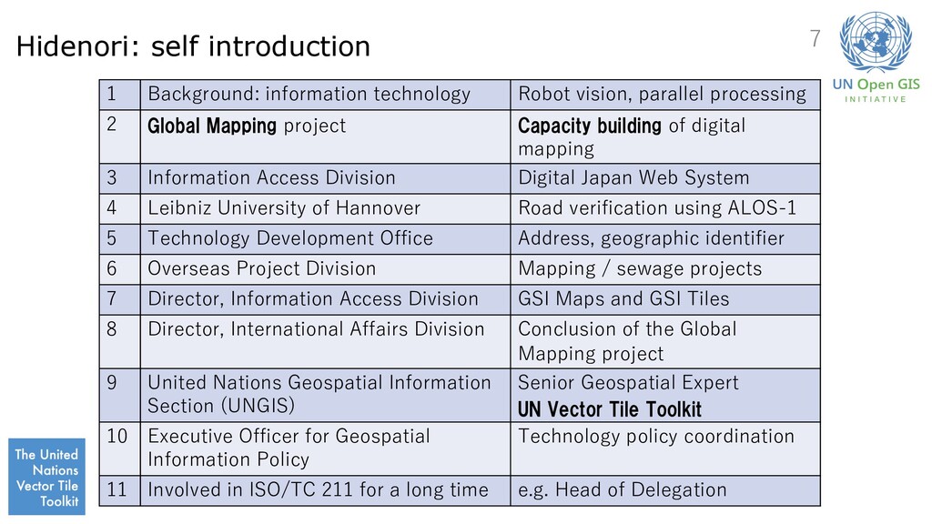
processing 2 Global Mapping project Capacity building of digital mapping 3 Information Access Division Digital Japan Web System 4 Leibniz University of Hannover Road verification using ALOS-1 5 Technology Development Office Address, geographic identifier 6 Overseas Project Division Mapping / sewage projects 7 Director, Information Access Division GSI Maps and GSI Tiles 8 Director, International Affairs Division Conclusion of the Global Mapping project 9 United Nations Geospatial Information Section (UNGIS) Senior Geospatial Expert UN Vector Tile Toolkit 10 Executive Officer for Geospatial Information Policy Technology policy coordination 11 Involved in ISO/TC 211 for a long time e.g. Head of Delegation 7
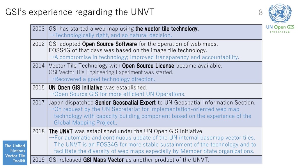
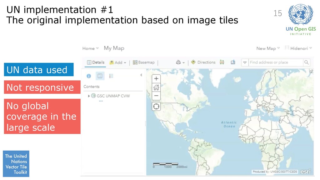
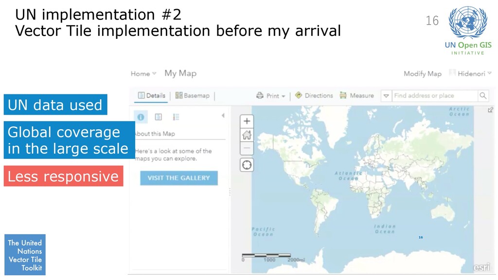
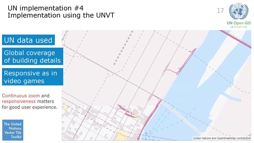
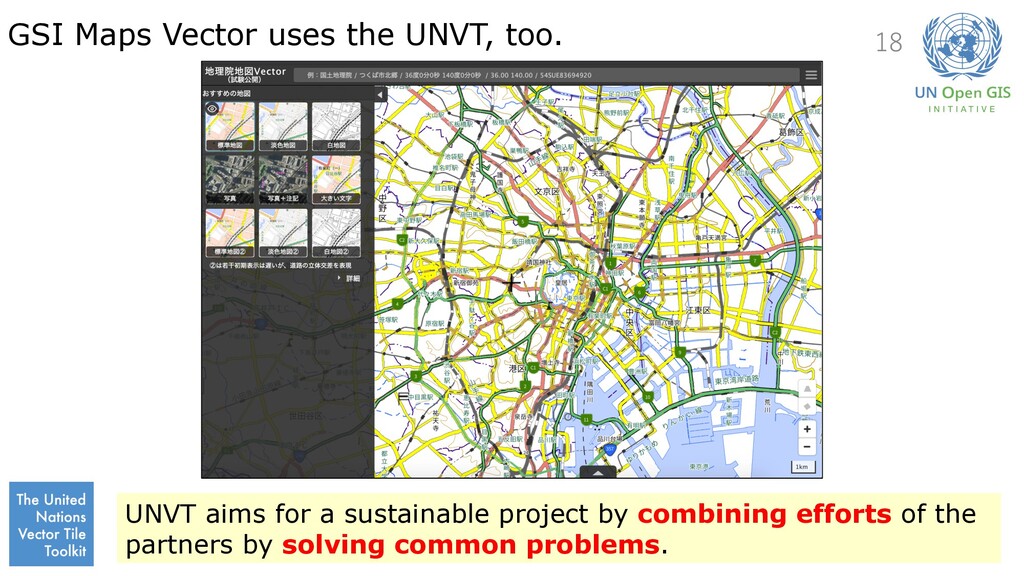
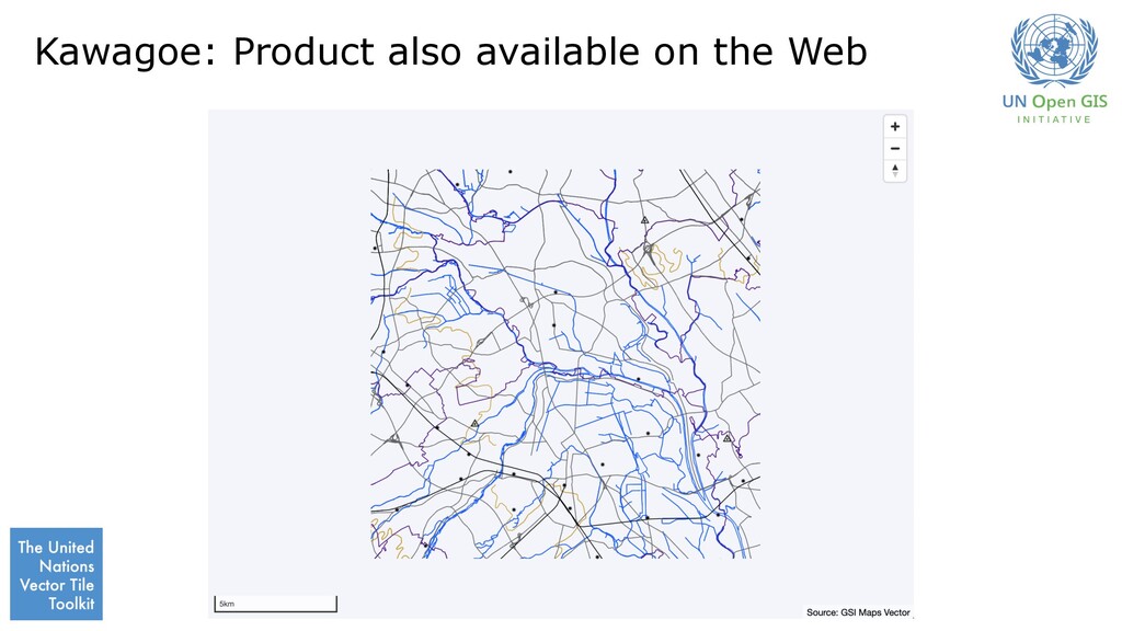
web map using the vector tile technology. →Technologically right, and so natural decision. 2012 GSI adopted Open Source Software for the operation of web maps. FOSS4G of that days was based on the image tile technology. →A compromise in technology; improved transparency and accountability. 2014 Vector Tile Technology with Open Source License became available. GSI Vector Tile Engineering Experiment was started. →Recovered a good technology direction. 2015 UN Open GIS Initiative was established. →Open Source GIS for more efficient UN Operations. 2017 Japan dispatched Senior Geospatial Expert to UN Geospatial Information Section. →On request by the UN Secretariat for implementation-oriented web map technology with capacity building component based on the experience of the Global Mapping Project.. 2018 The UNVT was established under the UN Open GIS Initiative →For automatic and continuous update of the UN internal basemap vector tiles. The UNVT is an FOSS4G for more stable sustainment of the technology and to facilitate the diversity of web maps especially by Member State organizations. 2019 GSI released GSI Maps Vector as another product of the UNVT. 8
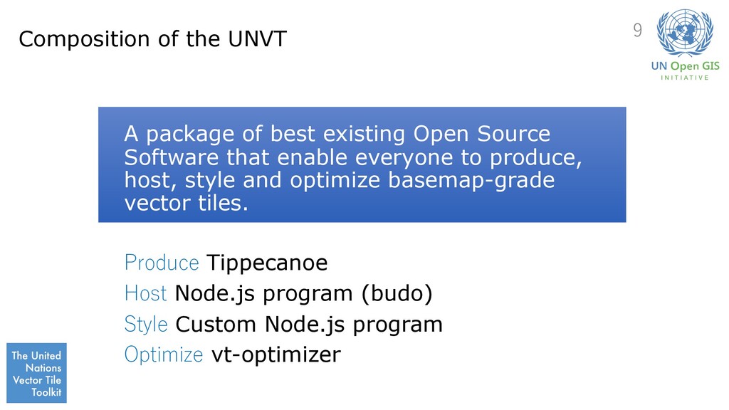
Source Software that enable everyone to produce, host, style and optimize basemap-grade vector tiles. Produce Tippecanoe Host Node.js program (budo) Style Custom Node.js program Optimize vt-optimizer 9
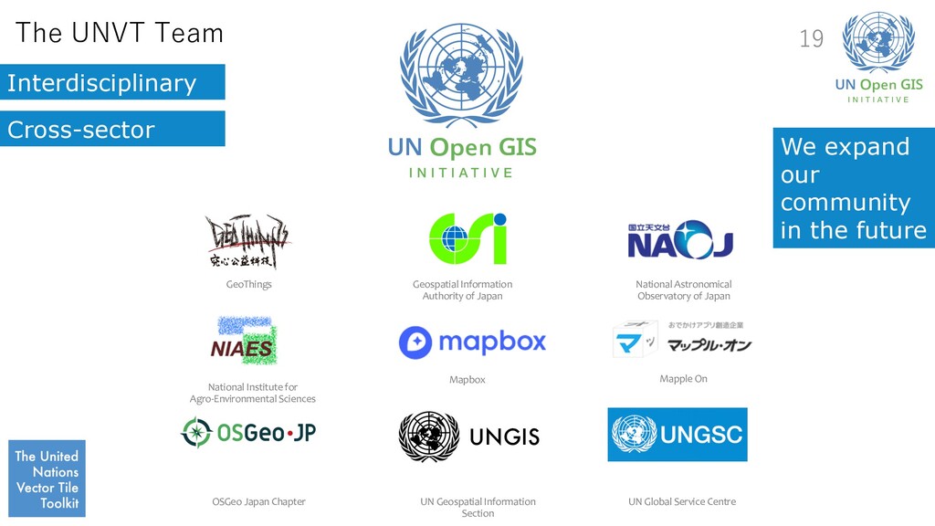
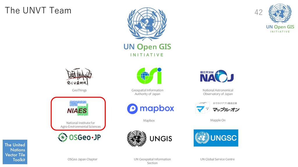
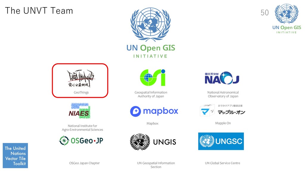
in the future UNGIS GeoThings Geospatial Information Authority of Japan National Astronomical Observatory of Japan National Institute for Agro-Environmental Sciences Mapbox Mapple On OSGeo Japan Chapter UN Geospatial Information Section UN Global Service Centre
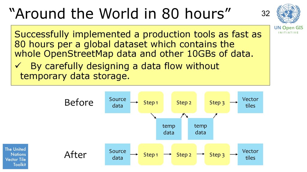
tools as fast as 80 hours per a global dataset which contains the whole OpenStreetMap data and other 10GBs of data. ü By carefully designing a data flow without temporary data storage. Source data Vector tiles Before After temp data Step 1 Step 2 Step 3 Source data Vector tiles Step 1 Step 2 Step 3 temp data 32
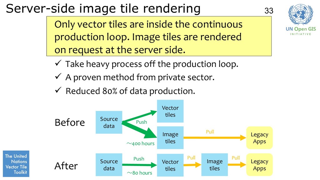
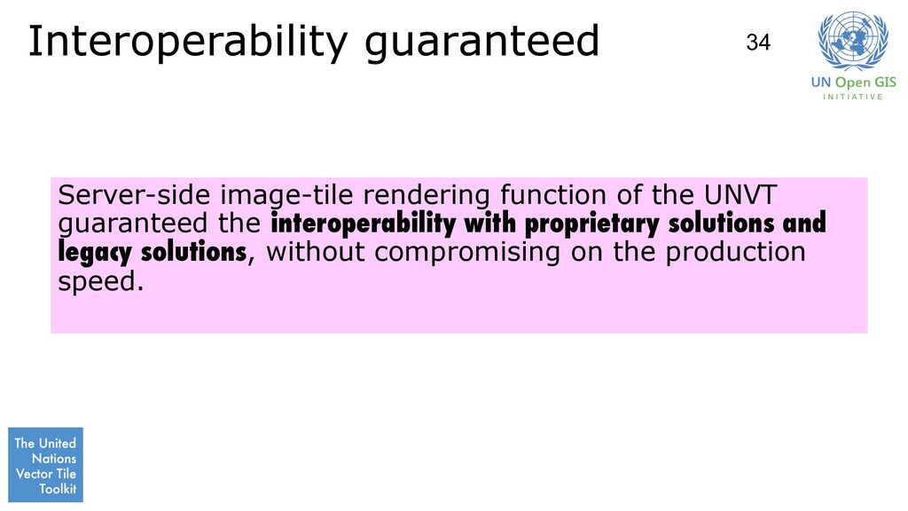
continuous production loop. Image tiles are rendered on request at the server side. ü Take heavy process off the production loop. ü A proven method from private sector. ü Reduced 80% of data production. Before After Source data Vector tiles Image tiles Source data Vector tiles Image tiles Legacy Apps Legacy Apps Push Push Pull Pull Pull 33 ~80 hours ~400 hours
Japan National Astronomical Observatory of Japan National Institute for Agro-Environmental Sciences Mapbox Mapple On OSGeo Japan Chapter UN Geospatial Information Section UN Global Service Centre
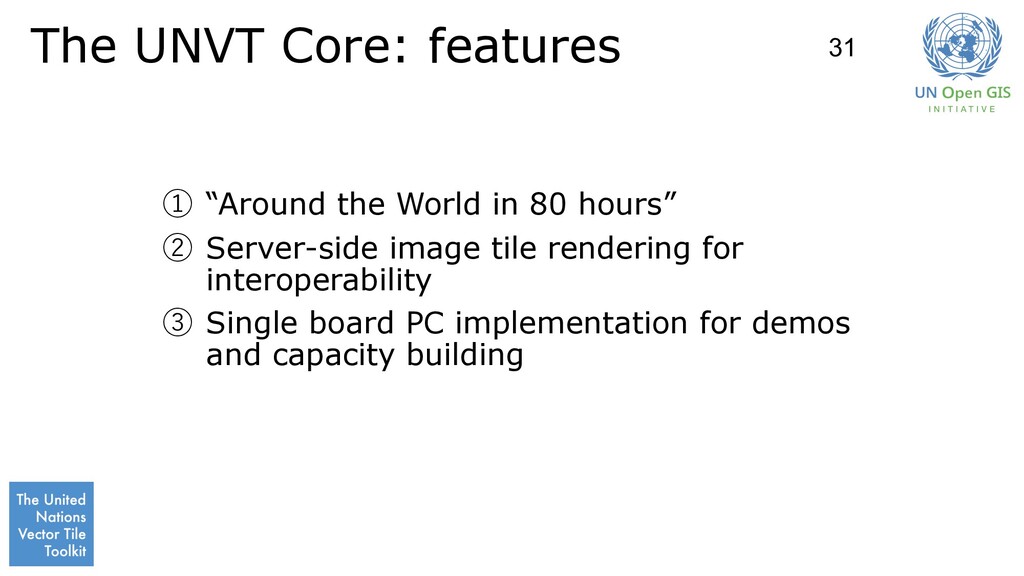
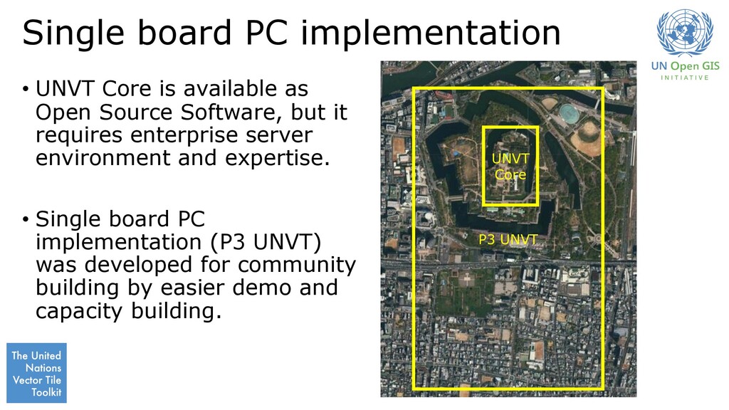
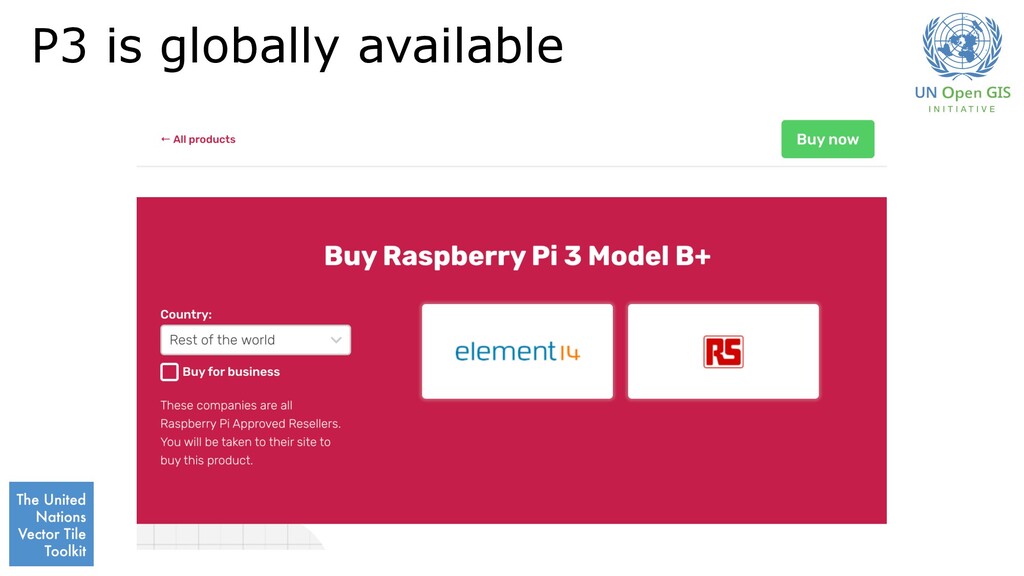
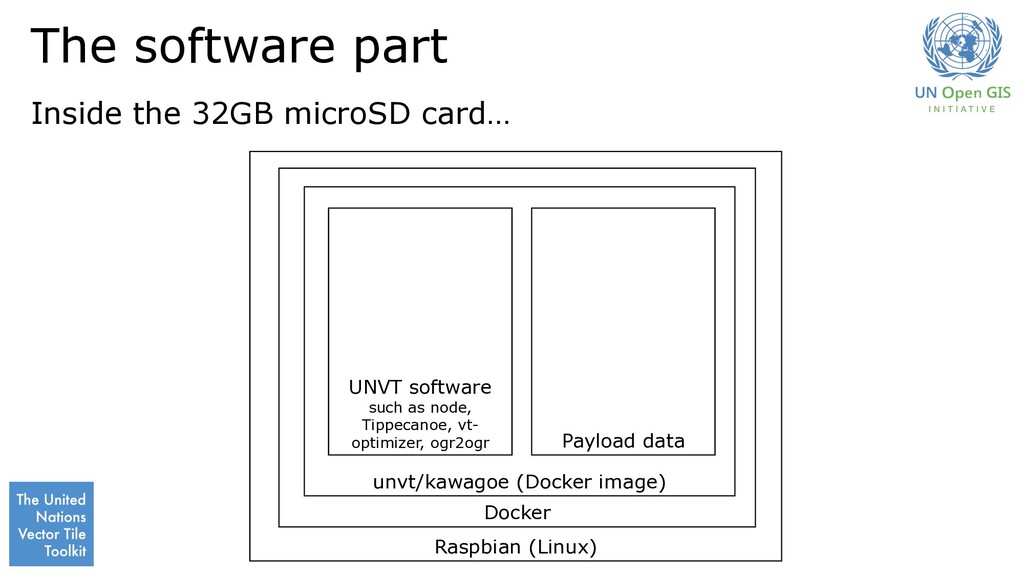
Open Source Software, but it requires enterprise server environment and expertise. • Single board PC implementation (P3 UNVT) was developed for community building by easier demo and capacity building. UNVT Core P3 UNVT
Japan National Astronomical Observatory of Japan National Institute for Agro-Environmental Sciences Mapbox Mapple On OSGeo Japan Chapter UN Geospatial Information Section UN Global Service Centre
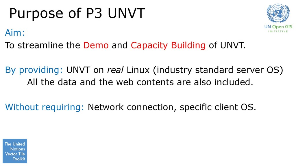
Capacity Building of UNVT. By providing: UNVT on real Linux (industry standard server OS) All the data and the web contents are also included. Without requiring: Network connection, specific client OS.
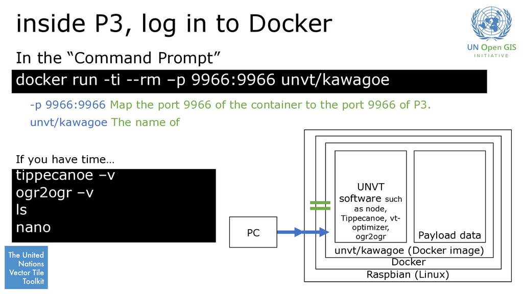
image) UNVT software such as node, Tippecanoe, vt- optimizer, ogr2ogr Payload data Start “Command Prompt” and Password: raspberrypi (This is the default of Raspberry Pi.) If you have time… PC df -h docker -v uname -a
–p 9966:9966 unvt/kawagoe Raspbian (Linux) Docker unvt/kawagoe (Docker image) UNVT software such as node, Tippecanoe, vt- optimizer, ogr2ogr Payload data In the “Command Prompt” If you have time… PC tippecanoe –v ogr2ogr –v ls nano -p 9966:9966 Map the port 9966 of the container to the port 9966 of P3. unvt/kawagoe The name of
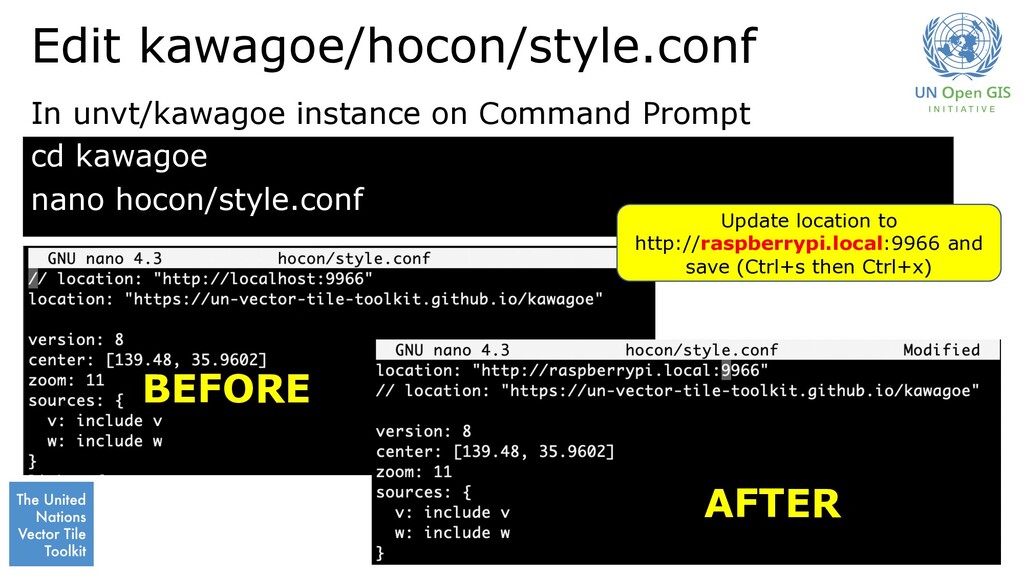
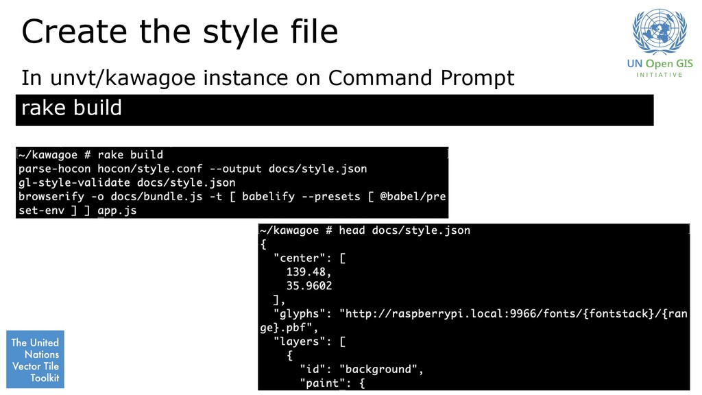
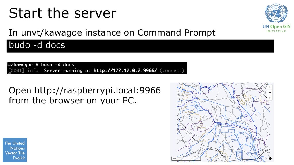
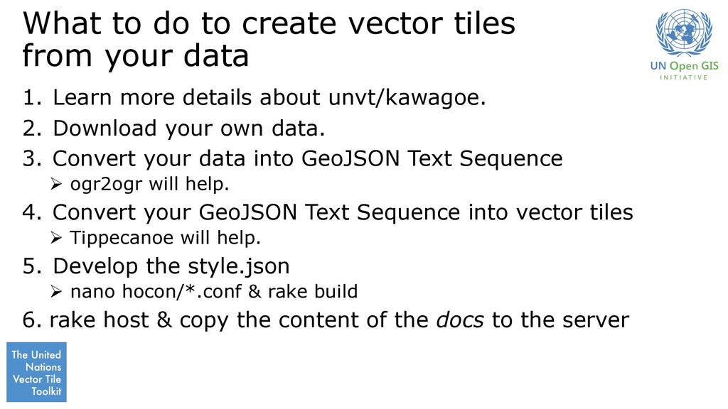
1. Learn more details about unvt/kawagoe. 2. Download your own data. 3. Convert your data into GeoJSON Text Sequence Ø ogr2ogr will help. 4. Convert your GeoJSON Text Sequence into vector tiles Ø Tippecanoe will help. 5. Develop the style.json Ø nano hocon/*.conf & rake build 6. rake host & copy the content of the docs to the server
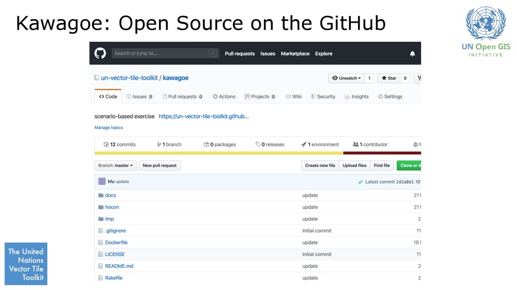
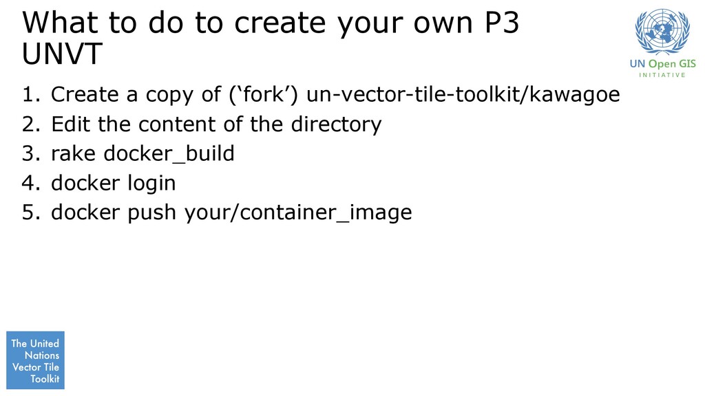
Create a copy of (‘fork’) un-vector-tile-toolkit/kawagoe 2. Edit the content of the directory 3. rake docker_build 4. docker login 5. docker push your/container_image
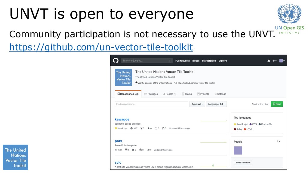
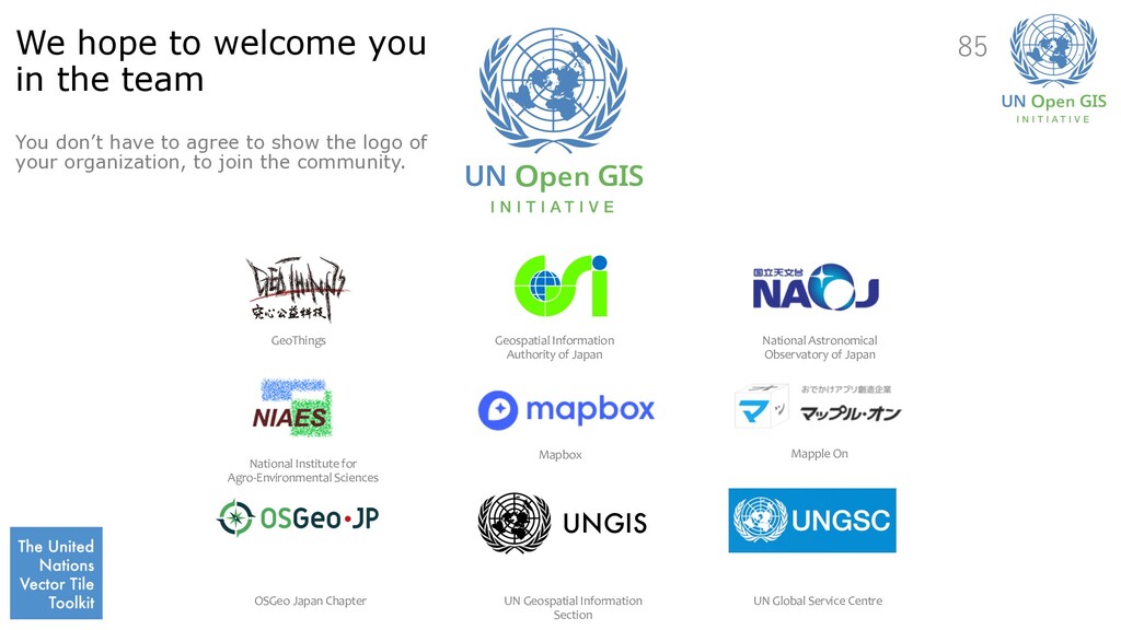
have to agree to show the logo of your organization, to join the community. UNGIS GeoThings Geospatial Information Authority of Japan National Astronomical Observatory of Japan National Institute for Agro-Environmental Sciences Mapbox Mapple On OSGeo Japan Chapter UN Geospatial Information Section UN Global Service Centre 85
![login to P3 ssh [email protected] Raspbian (Linux) Docker unvt/kawagoe (Docker](https://files.speakerdeck.com/presentations/130dcb45e1d04c23864c2c36acd8a815/slide_66.jpg)