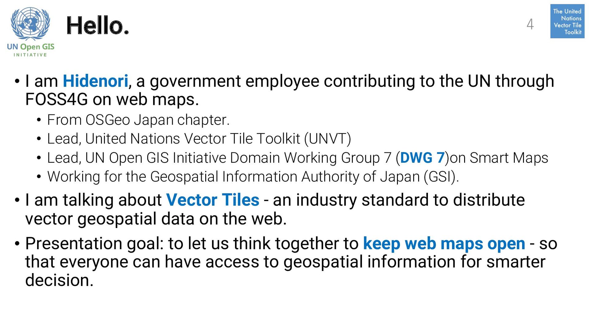
the UN through FOSS4G on web maps. • From OSGeo Japan chapter. • Lead, United Nations Vector Tile Toolkit (UNVT) • Lead, UN Open GIS Initiative Domain Working Group 7 (DWG 7)on Smart Maps • Working for the Geospatial Information Authority of Japan (GSI). • I am talking about Vector Tiles - an industry standard to distribute vector geospatial data on the web. • Presentation goal: to let us think together to keep web maps open - so that everyone can have access to geospatial information for smarter decision. 4
the UN Open GIS Initiative. 2. We are Domain Working Group 7 (DWG 7) on Smart Maps. 3. UN Vector Tile Toolkit is now a brand under DWG 7. 34 UN Open GIS Initiative DWG 7 on Smart Maps
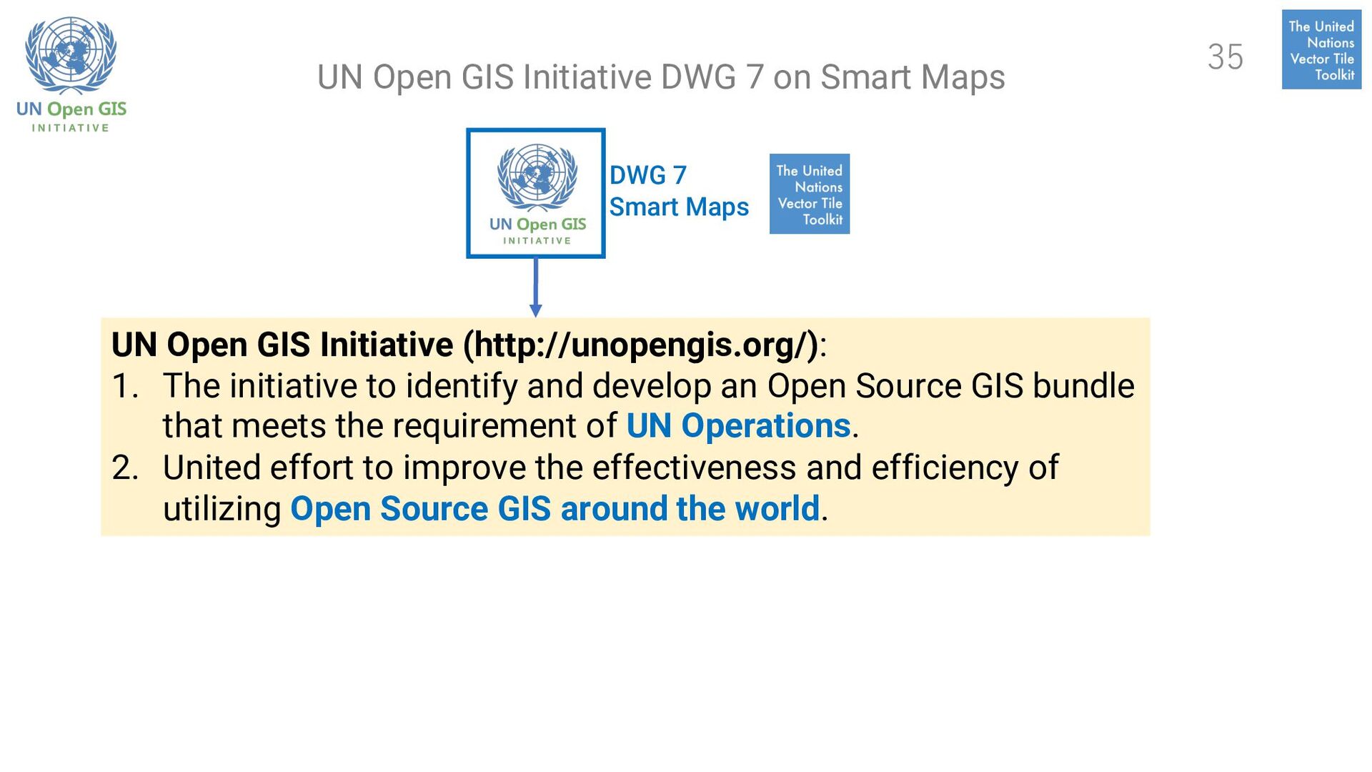
The initiative to identify and develop an Open Source GIS bundle that meets the requirement of UN Operations. 2. United effort to improve the effectiveness and efficiency of utilizing Open Source GIS around the world. 35 UN Open GIS Initiative DWG 7 on Smart Maps
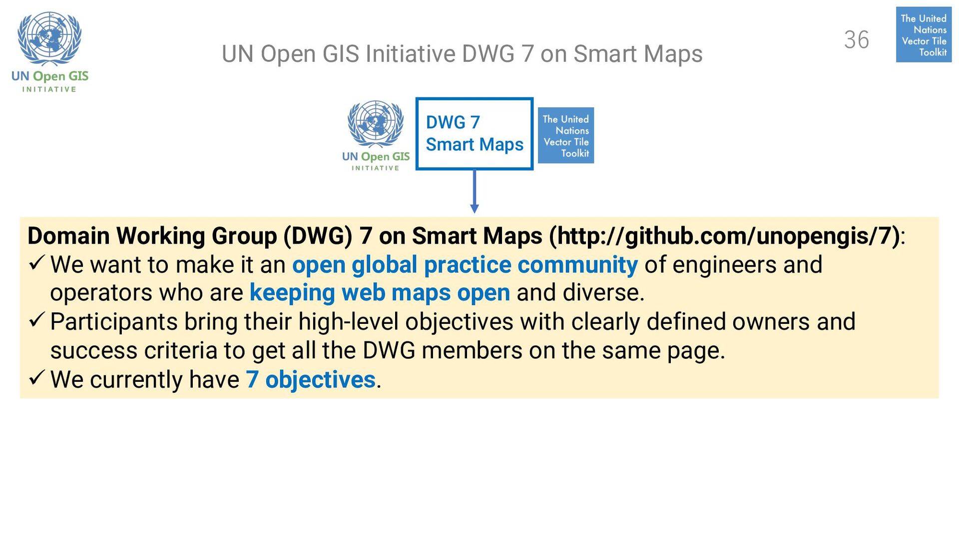
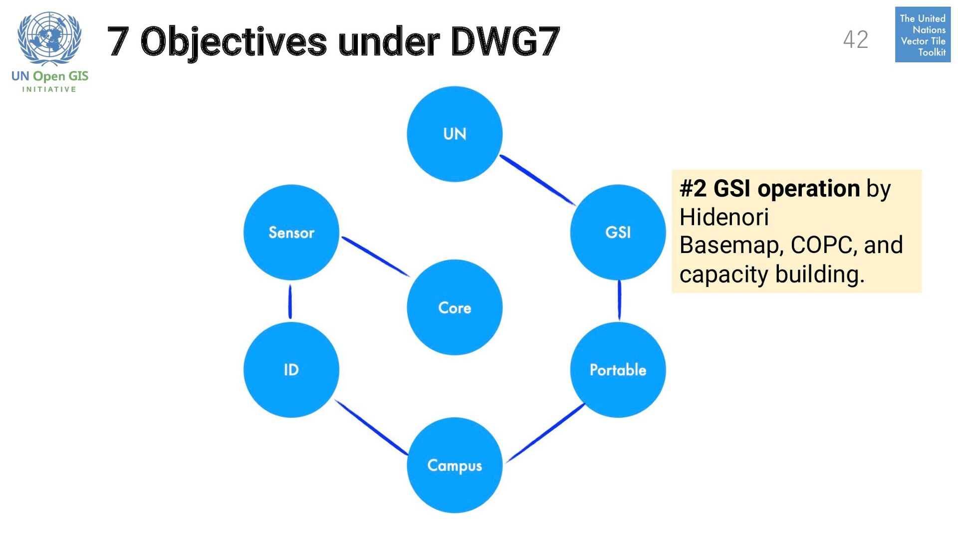
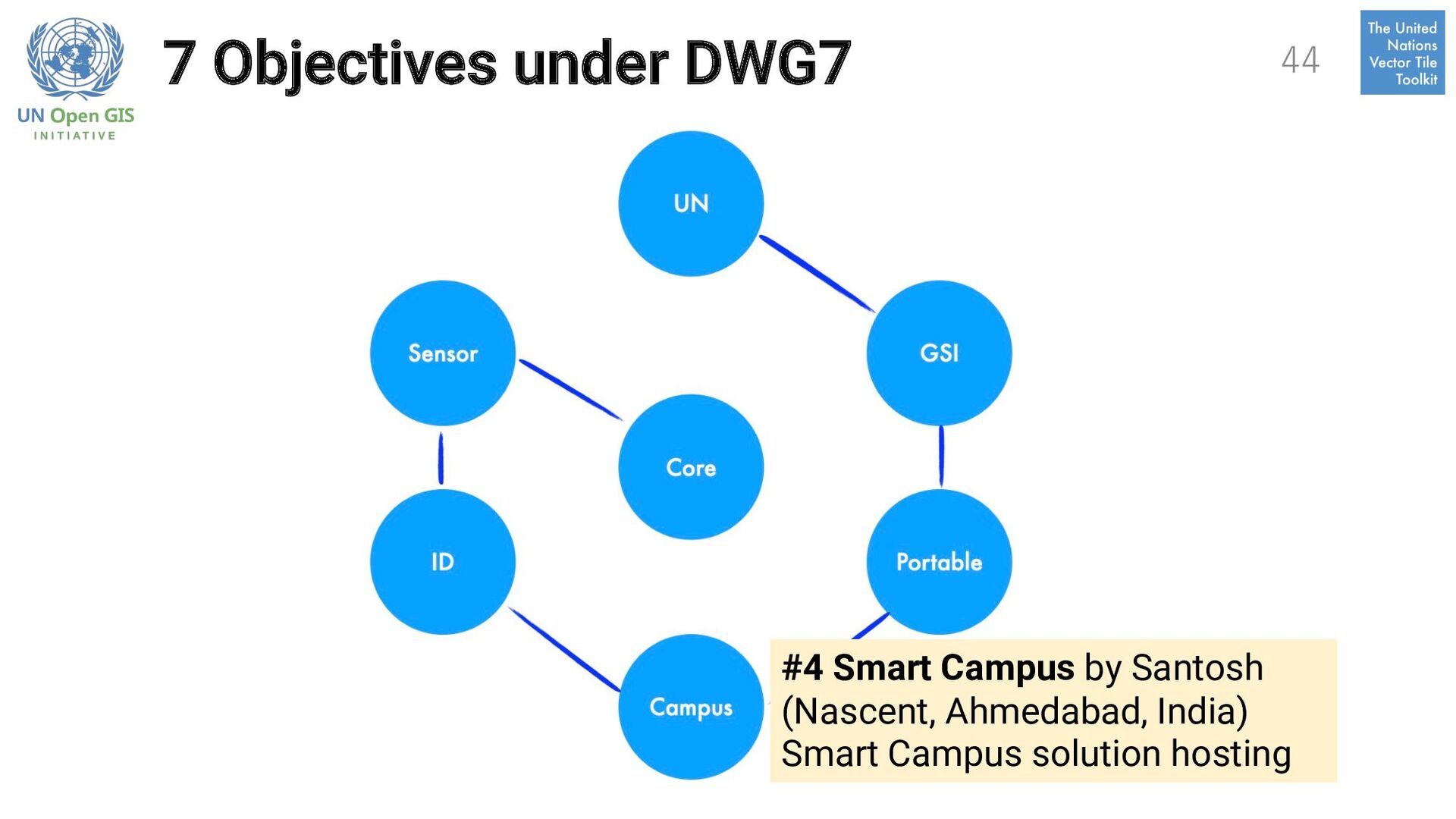
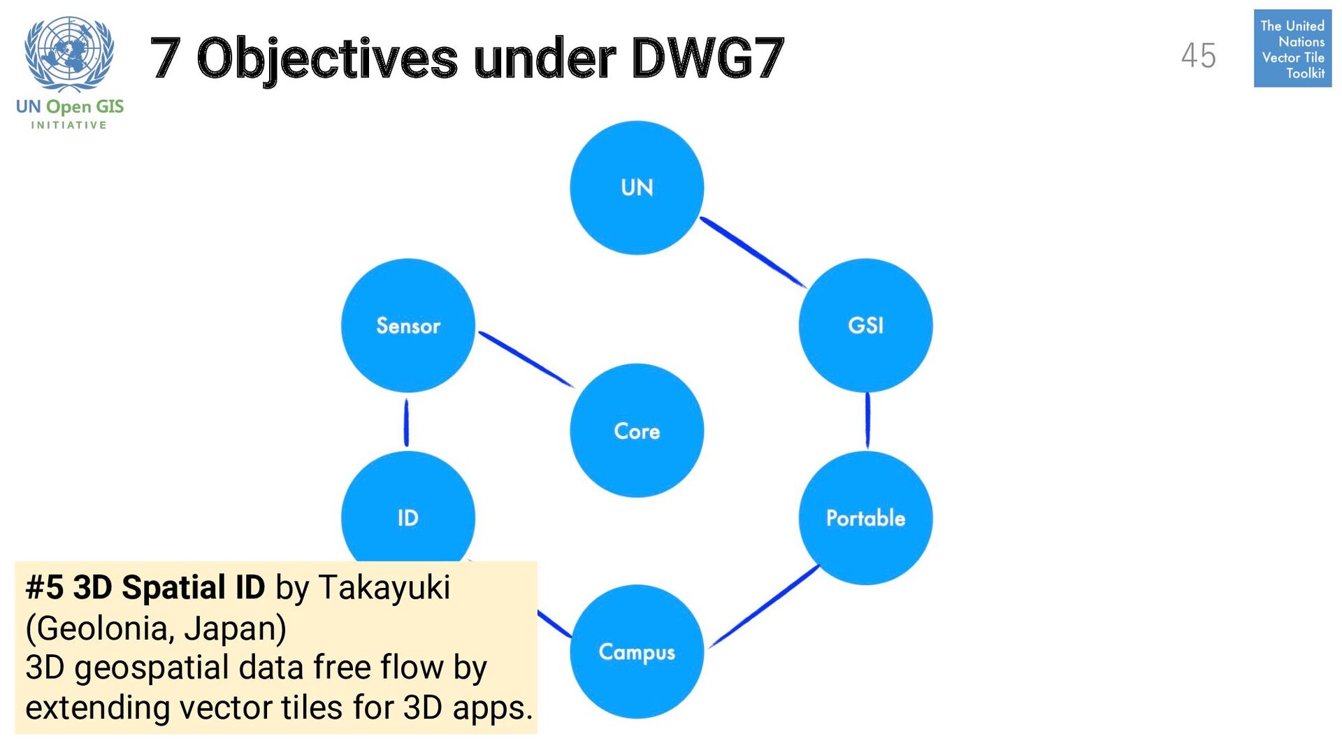
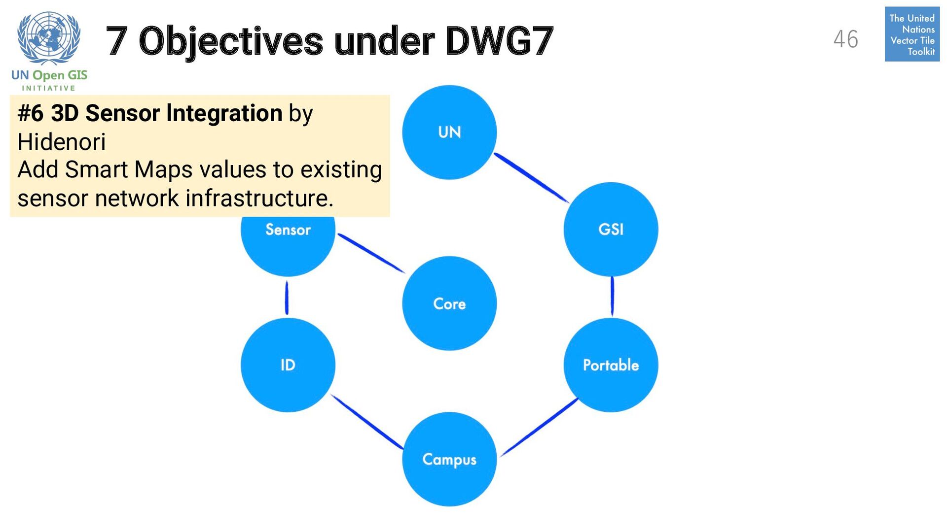
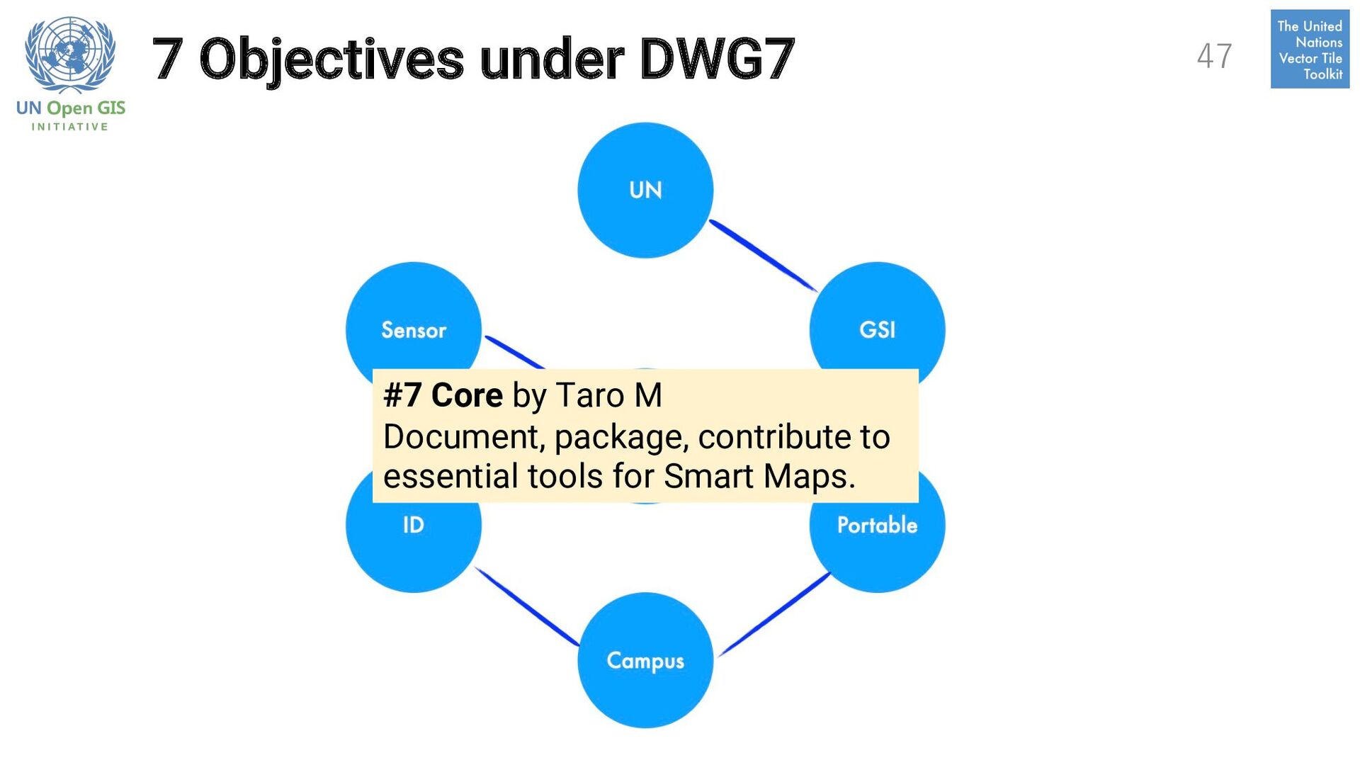
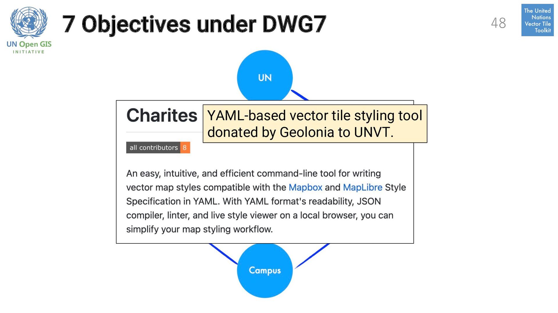
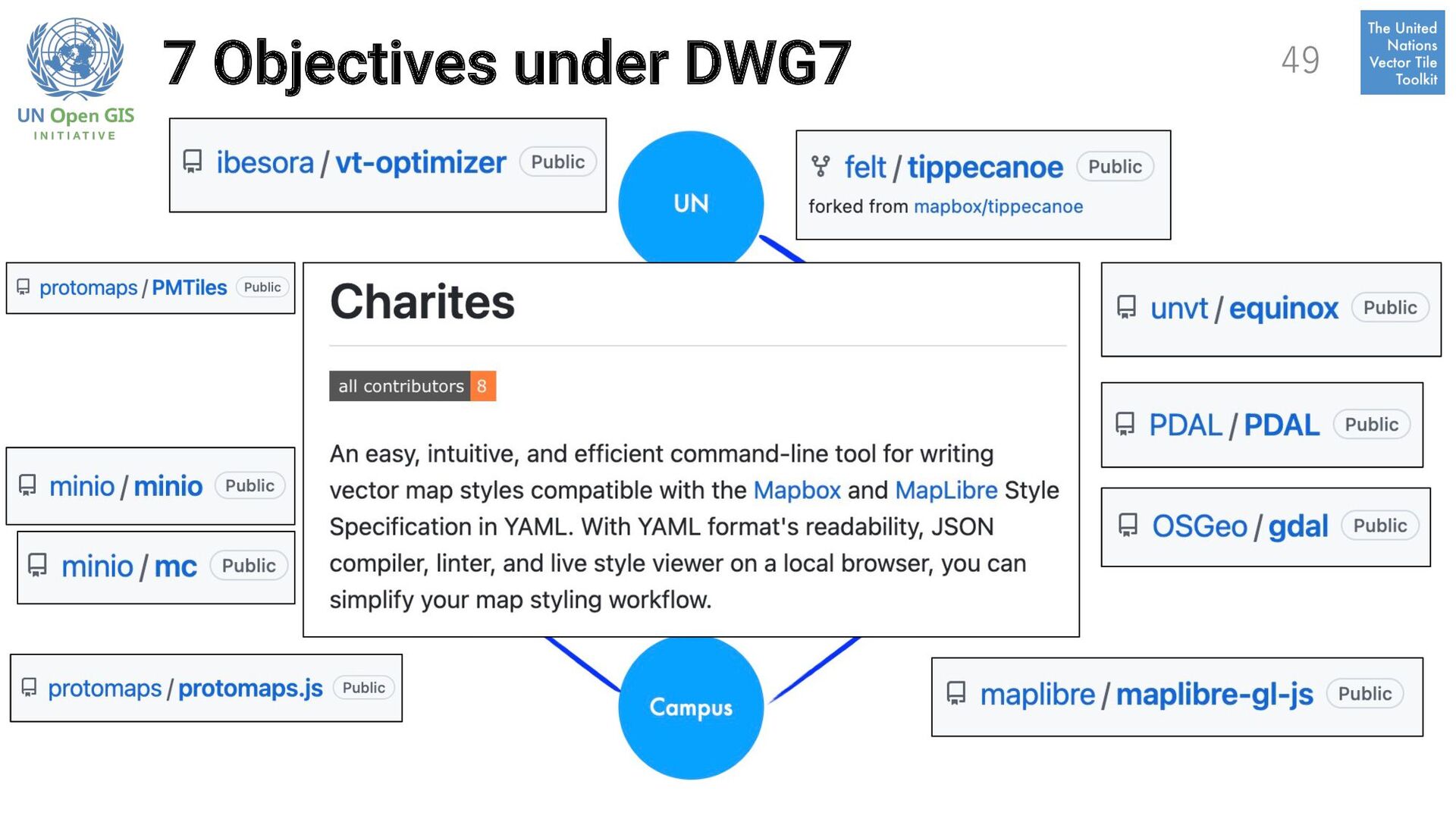
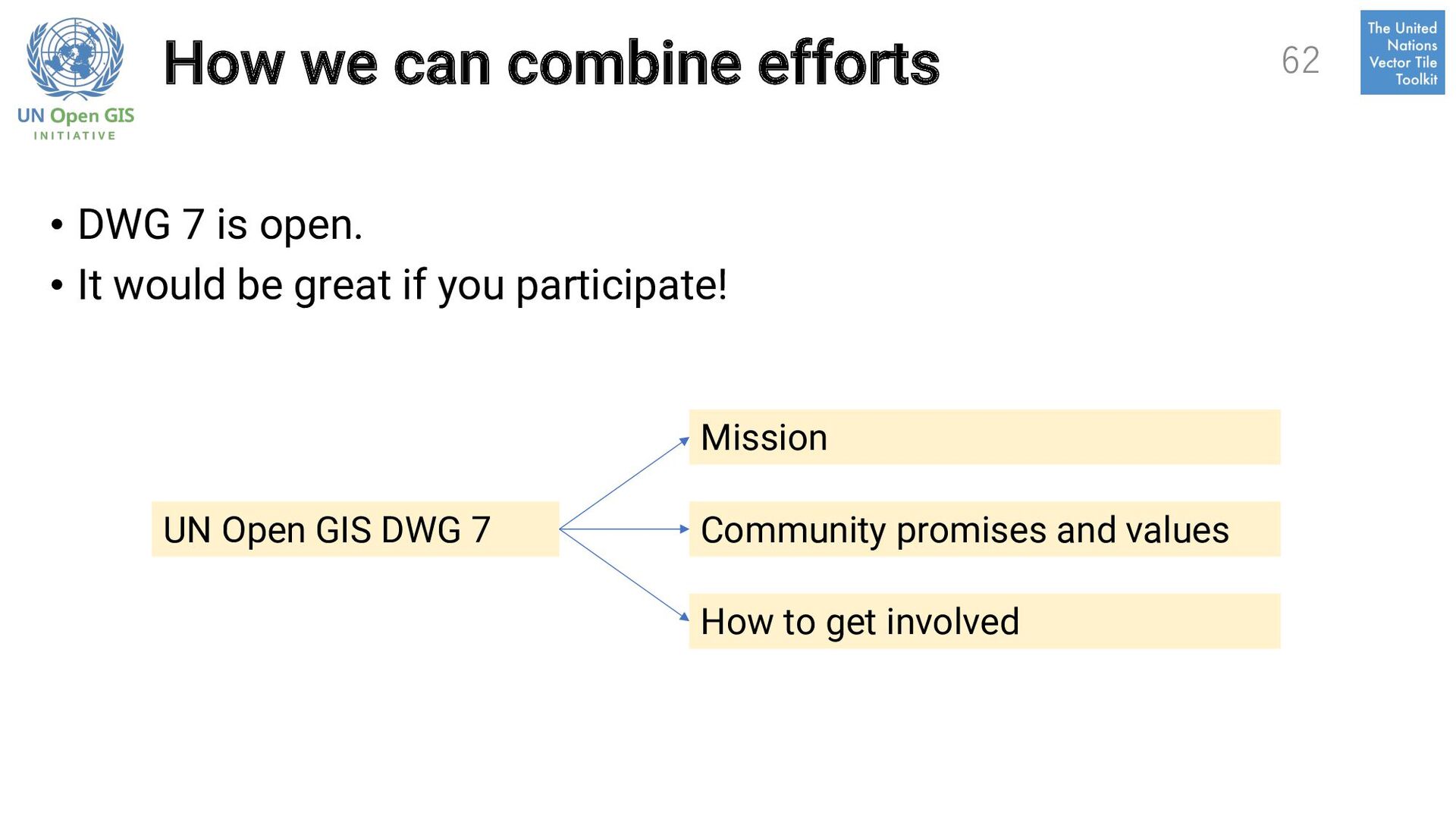
Smart Maps (http://github.com/unopengis/7): ü We want to make it an open global practice community of engineers and operators who are keeping web maps open and diverse. ü Participants bring their high-level objectives with clearly defined owners and success criteria to get all the DWG members on the same page. ü We currently have 7 objectives. 36 UN Open GIS Initiative DWG 7 on Smart Maps
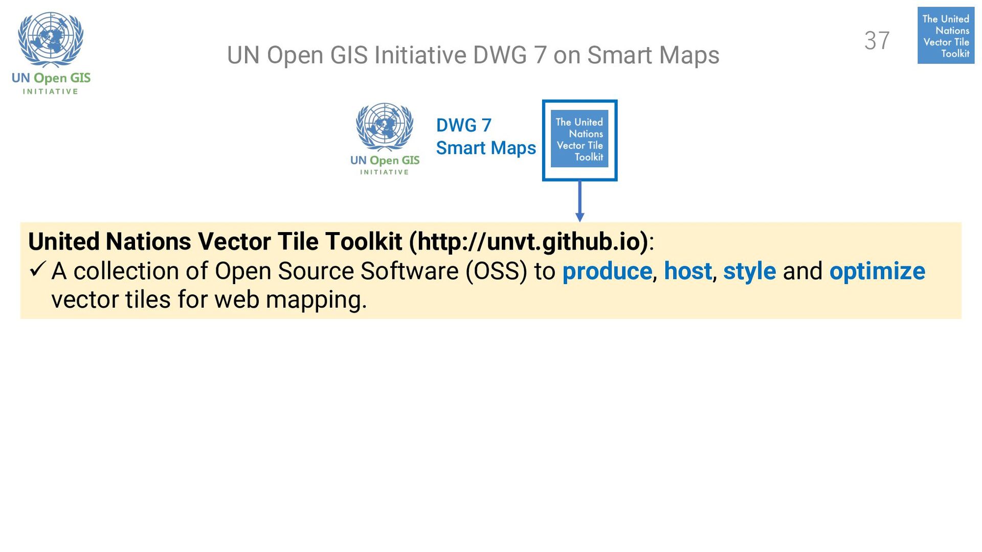
ü A collection of Open Source Software (OSS) to produce, host, style and optimize vector tiles for web mapping. 37 UN Open GIS Initiative DWG 7 on Smart Maps
a sub-project under UN Open GIS Initiative WG3 on Data Collection since 2018. • DWG7 on Smart Maps was newly established based on UNVT at the UN Open GIS Conference in Firenze, Italy 2022-08. • Smart Maps are user-oriented rather than technology-oriented. • Smart = Fast + Simple. • Smart Maps are not only about 2D vector data - also about 3D and real time. 38
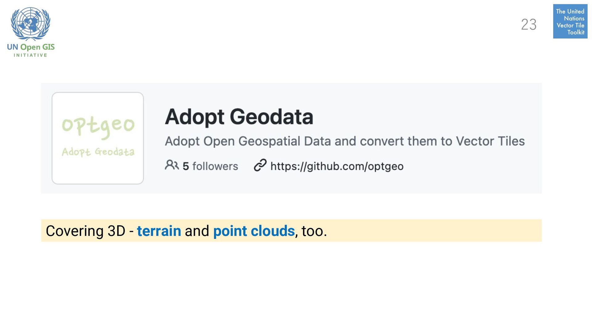
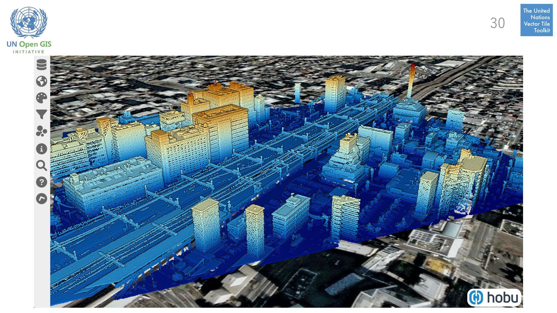
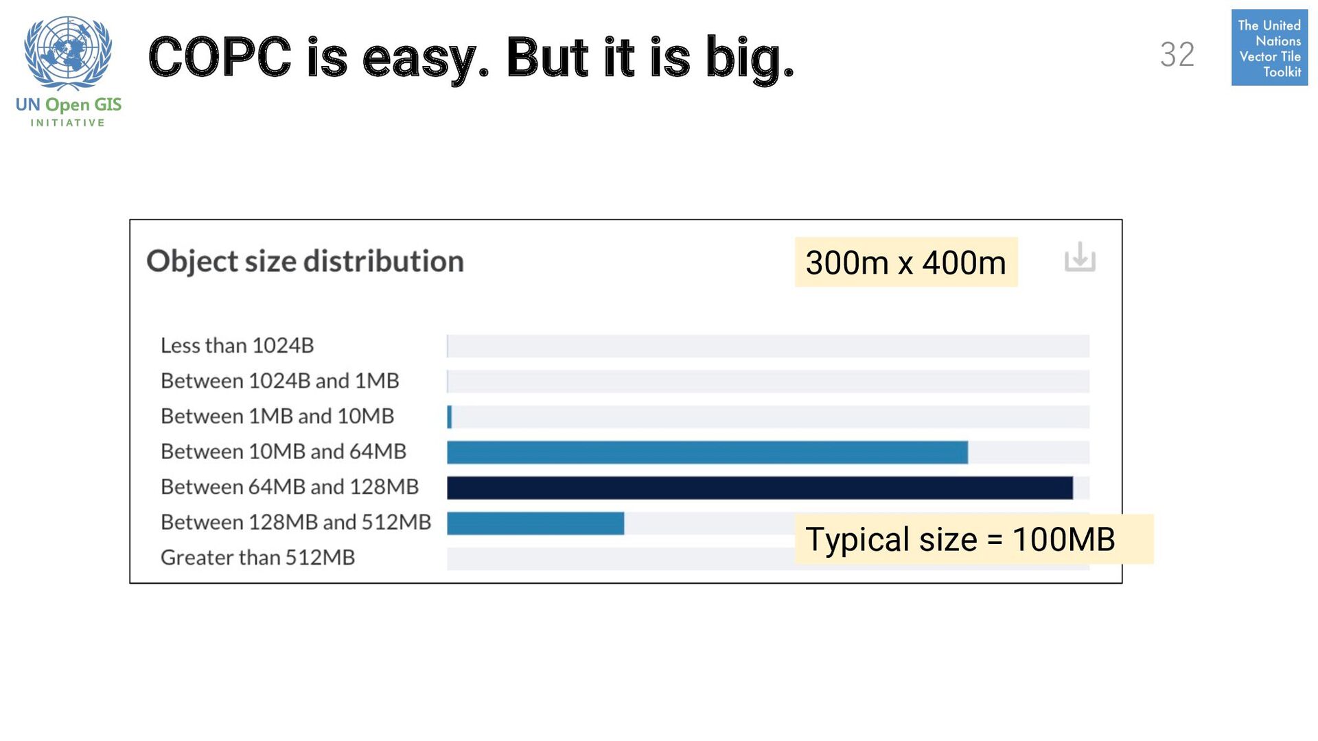
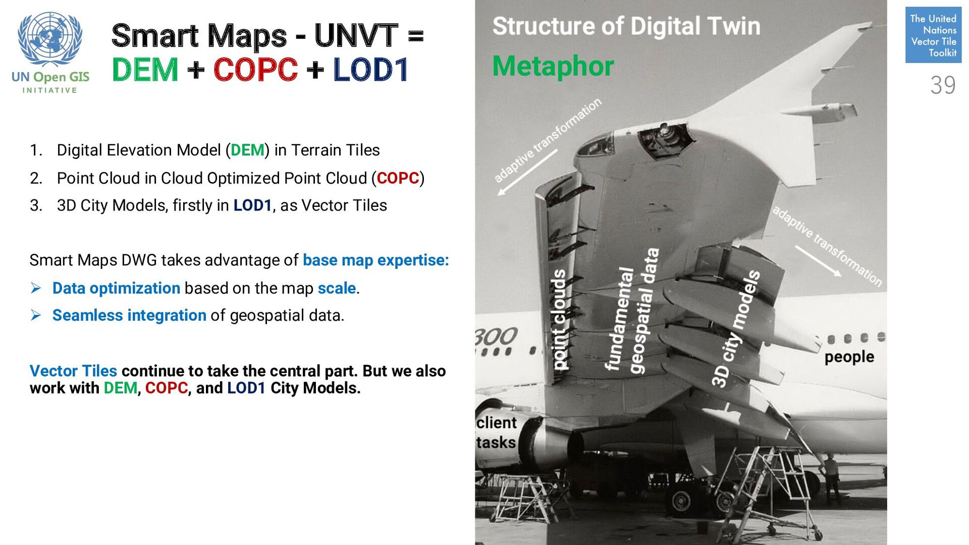
1. Digital Elevation Model (DEM) in Terrain Tiles 2. Point Cloud in Cloud Optimized Point Cloud (COPC) 3. 3D City Models, firstly in LOD1, as Vector Tiles Smart Maps DWG takes advantage of base map expertise: Ø Data optimization based on the map scale. Ø Seamless integration of geospatial data. Vector Tiles continue to take the central part. But we also work with DEM, COPC, and LOD1 City Models. Metaphor 39
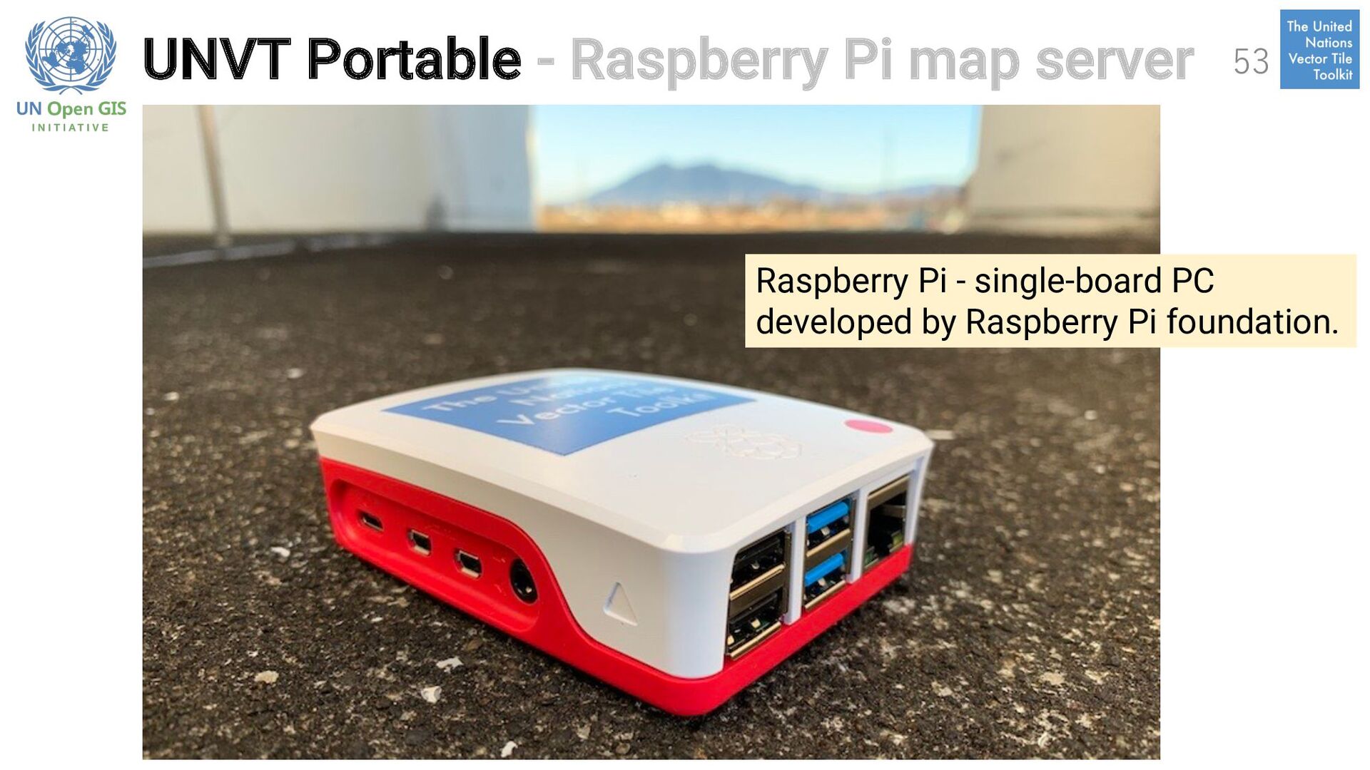
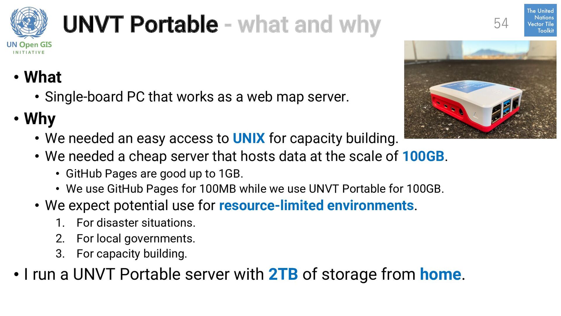
PC that works as a web map server. • Why • We needed an easy access to UNIX for capacity building. • We needed a cheap server that hosts data at the scale of 100GB. • GitHub Pages are good up to 1GB. • We use GitHub Pages for 100MB while we use UNVT Portable for 100GB. • We expect potential use for resource-limited environments. 1. For disaster situations. 2. For local governments. 3. For capacity building. • I run a UNVT Portable server with 2TB of storage from home. 54
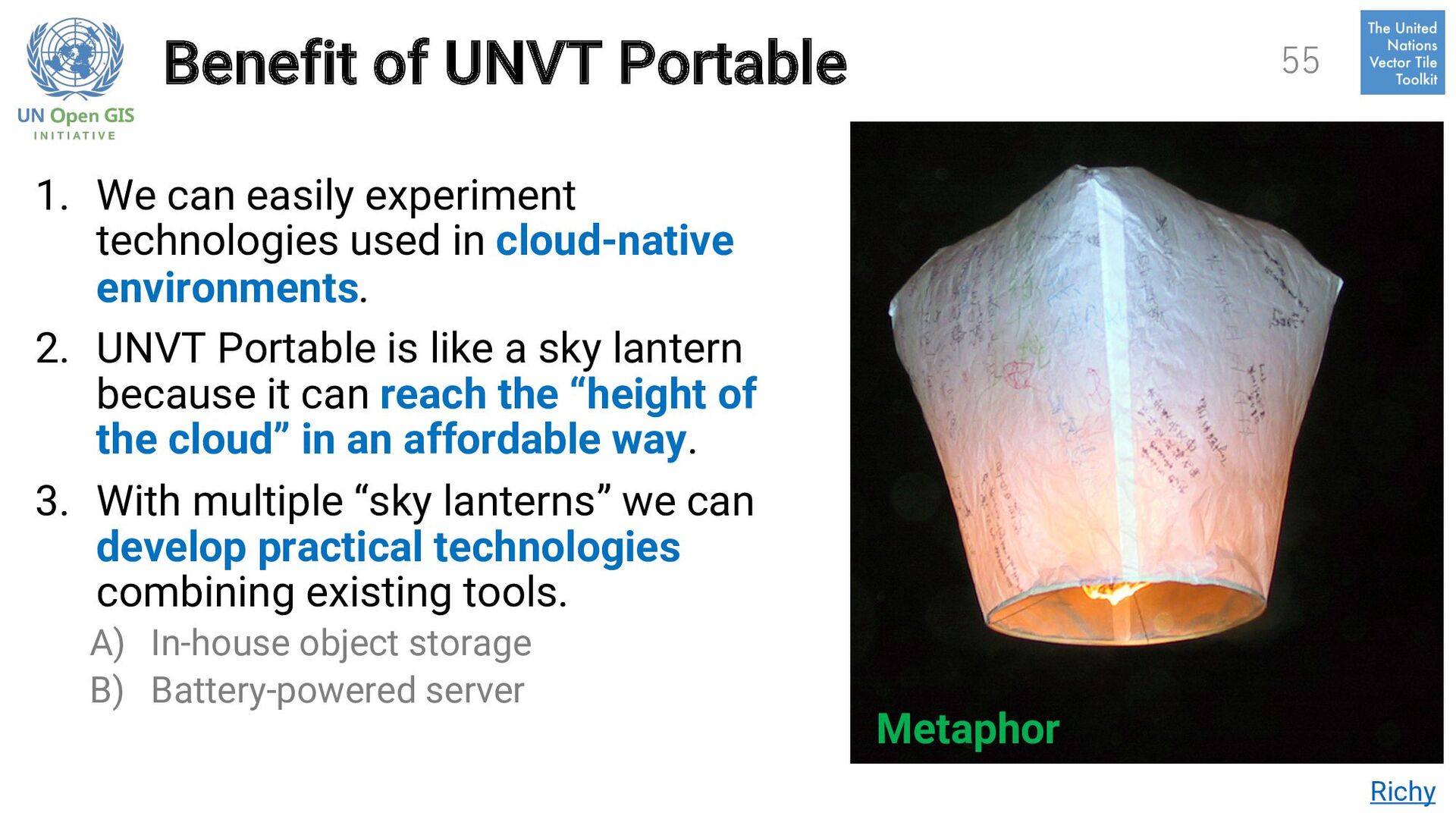
used in cloud-native environments. 2. UNVT Portable is like a sky lantern because it can reach the “height of the cloud” in an affordable way. 3. With multiple “sky lanterns” we can develop practical technologies combining existing tools. A) In-house object storage B) Battery-powered server Richy Metaphor 55
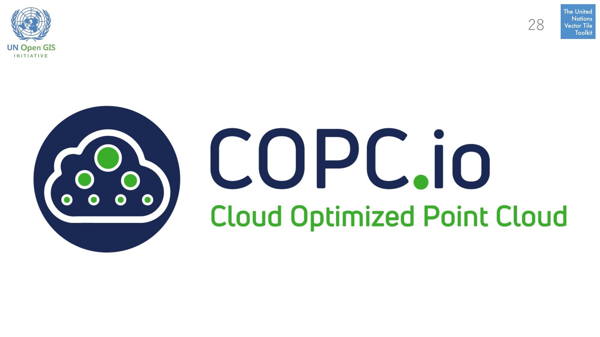
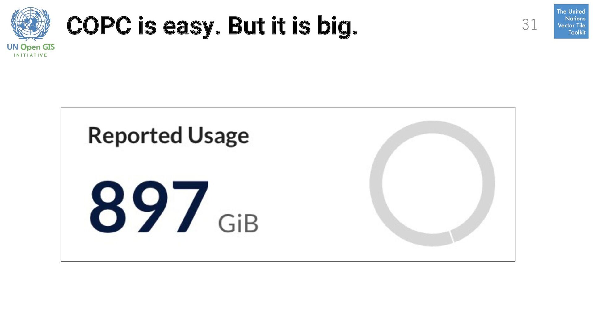
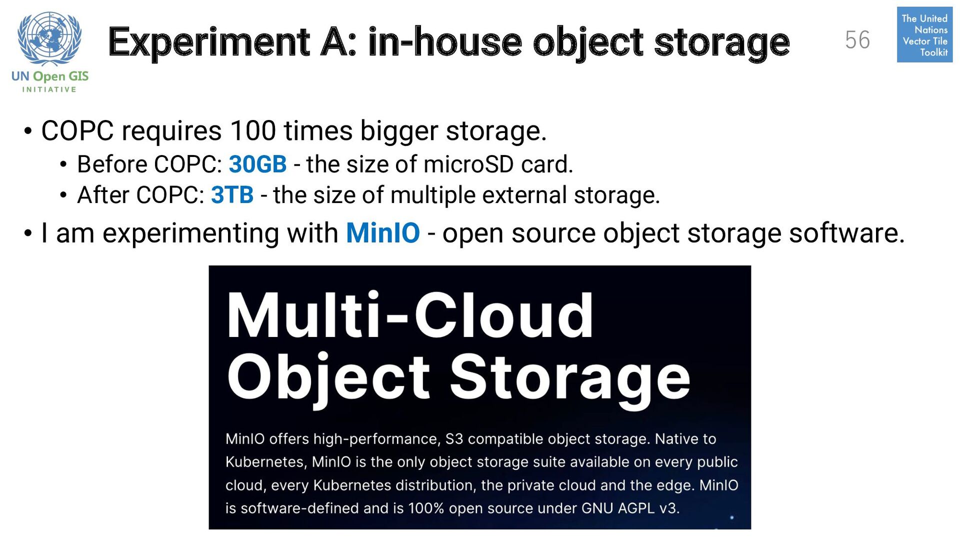
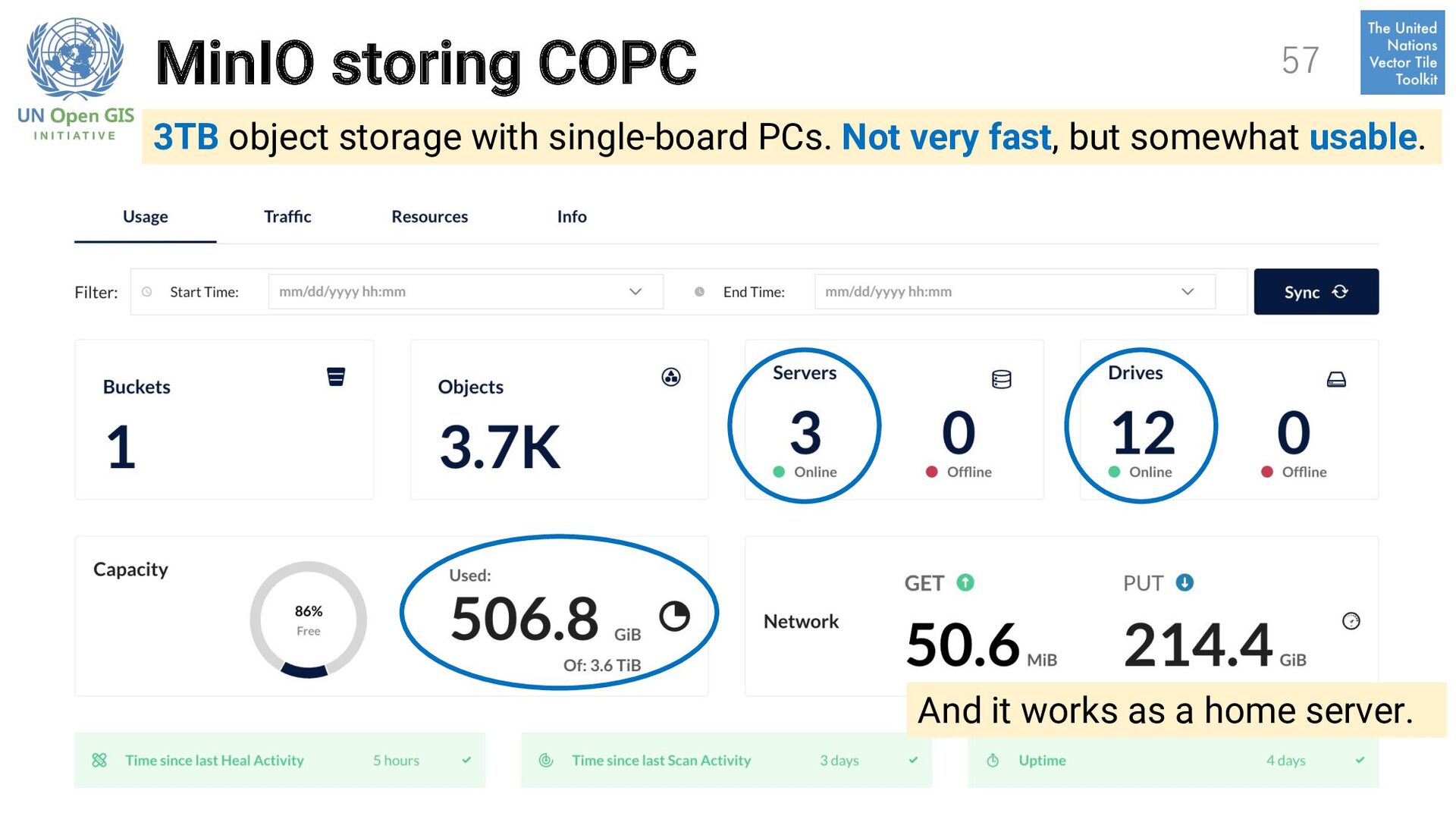
bigger storage. • Before COPC: 30GB - the size of microSD card. • After COPC: 3TB - the size of multiple external storage. • I am experimenting with MinIO - open source object storage software. 56
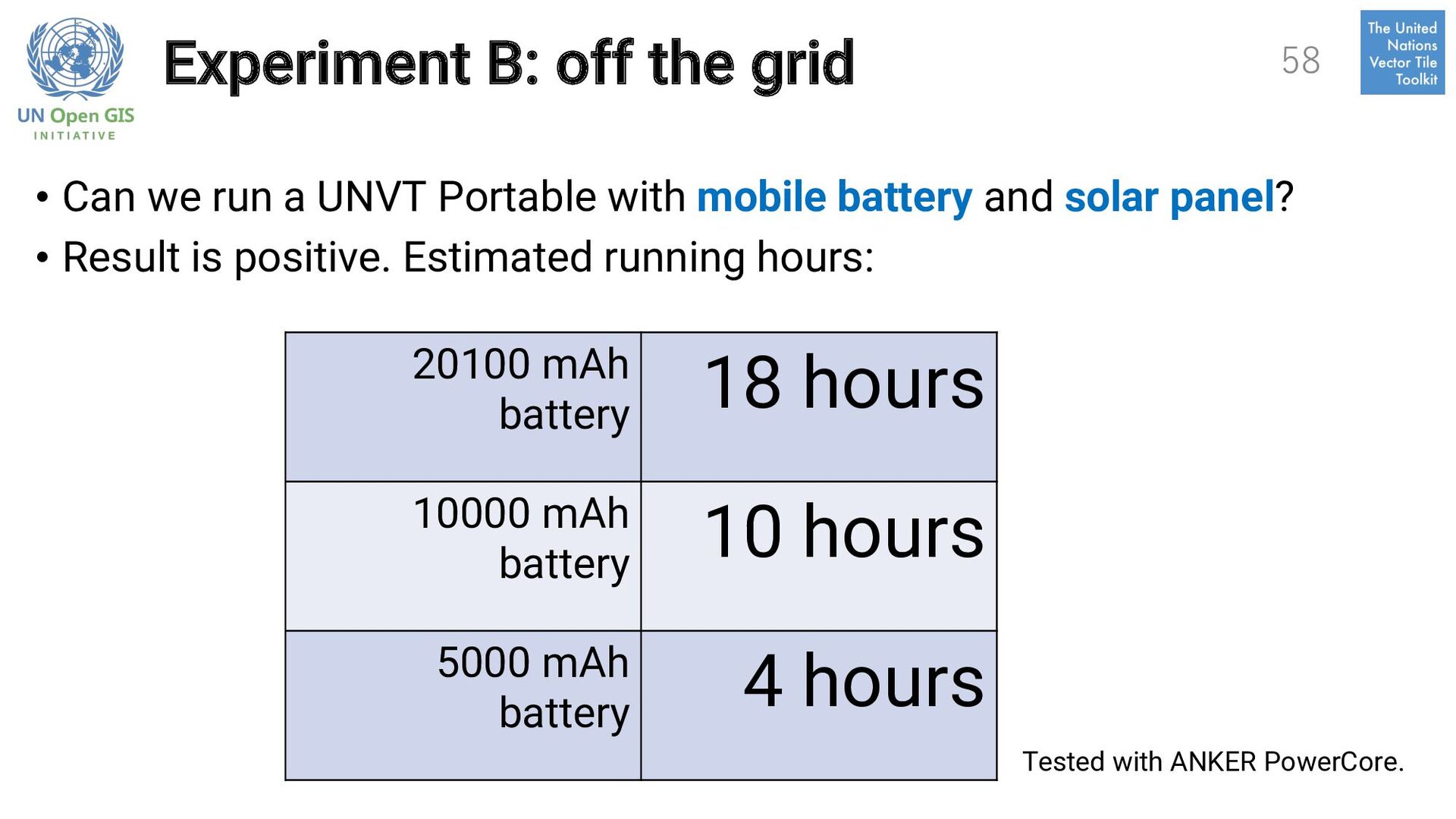
UNVT Portable with mobile battery and solar panel? • Result is positive. Estimated running hours: 58 20100 mAh battery 18 hours 10000 mAh battery 10 hours 5000 mAh battery 4 hours Tested with ANKER PowerCore.
hand • “Forward deployment” of the web map servers. üFor local governments and schools. üFor disaster situations. 59 Experiment Capacity Building Forward Deployment Application of UNVT Portable
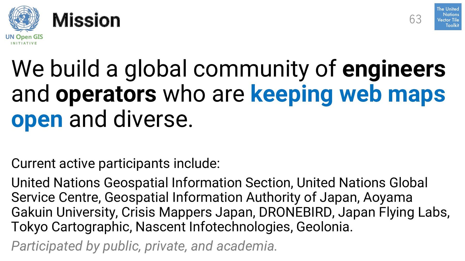
who are keeping web maps open and diverse. Current active participants include: United Nations Geospatial Information Section, United Nations Global Service Centre, Geospatial Information Authority of Japan, Aoyama Gakuin University, Crisis Mappers Japan, DRONEBIRD, Japan Flying Labs, Tokyo Cartographic, Nascent Infotechnologies, Geolonia. Participated by public, private, and academia. 63
welcome. 2. We prefer open collaboration. 3. Contributions are esteemed by their merit. 4. We respect data producers. 5. We criticize ideas, not people. 6. We believe in fail forward to learn and improve. 64
by requests. 2. It is OK to use local languages. It is nice to use common languages. 65 Some participants meets weekly using Japanese language. Why don’t you meet using Thai language? We can meet using English language, too.
style, host and optimize vector tiles. 2. We support participants to cope with resource-limited environments. 3. We support participants to learn about use cases. 4. We support participants to have fun. 5. We support participants to introduce new ideas. 6. We support participants to help each other. 7. We support participants to handle images, raster data (terrain tiles), point clouds, and 3D city models, too. 66
is happening. • https://github.com/unopengis/7 Contact me. Ask any question. • Connect Hidenori Fujimura on Facebook. • Connect Hidenori Fujimura on LinkedIn. Bring your own objective and let’s collaborate. Thank you. 67