Upgrade to Pro — share decks privately, control downloads, hide ads and more …

Open Satellite Imagery and Geoportals | MapBox Satellite

Open Satellite Imagery and Geoportals | MapBox Satellite

January 2012 GeoDC presentation the open satellite imagery available powering MapBox Satellite, and reflections on the acquisition process.

Chris Herwig

January 09, 2013
Tweet

More Decks by Chris Herwig

Other Decks in Technology

Transcript

  1. • Global coverage • 30 meter multispectral resolution • 15

    meter panchromatic resolution • Available from NASA, LEDAPS, USGS EROS Landsat
  2. • Continental U.S. coverage • Resolution: 1-2 meters • Orthorectified

    aerial imagery • Available from USDA Farm Services Agency, state GIS agencies NAIP National Agriculture Imagery Program
  3. HRO • Coverage for 133 Urban Areas in U.S. •

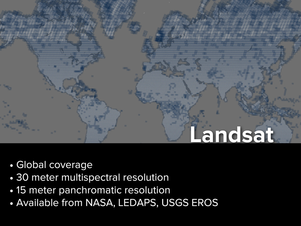
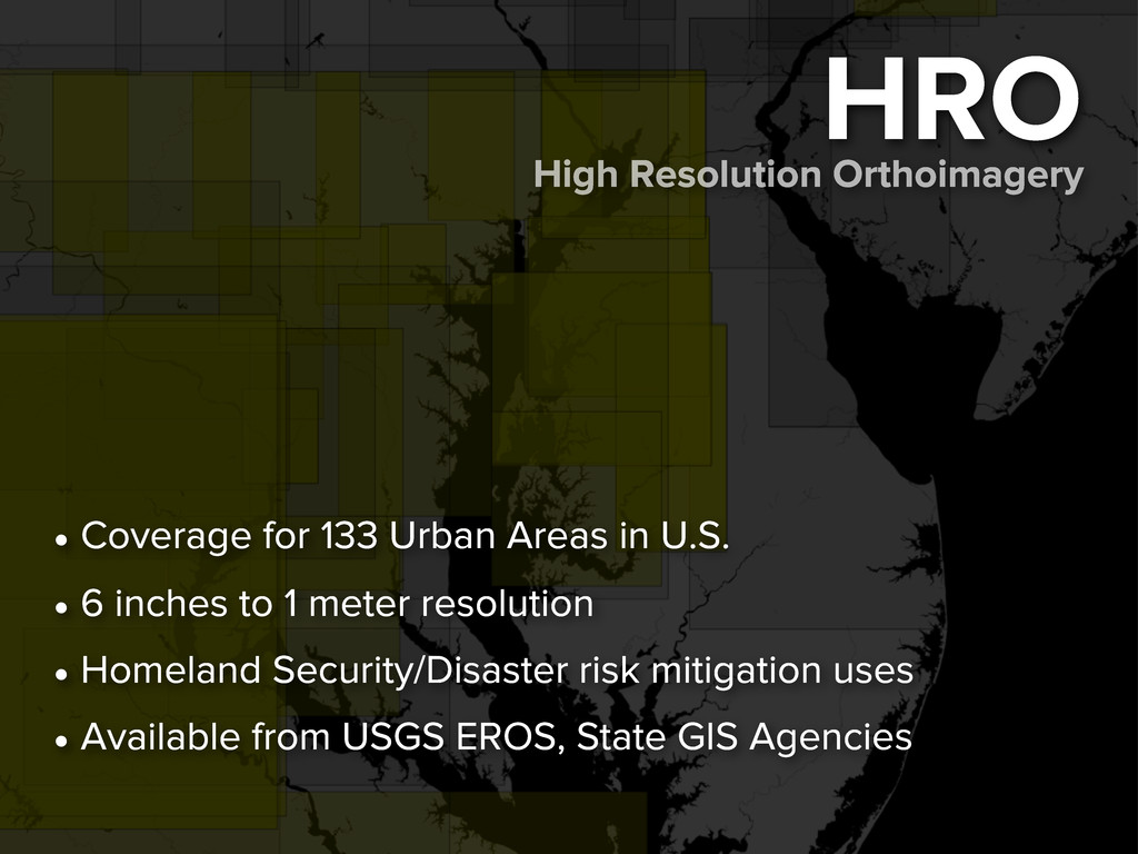
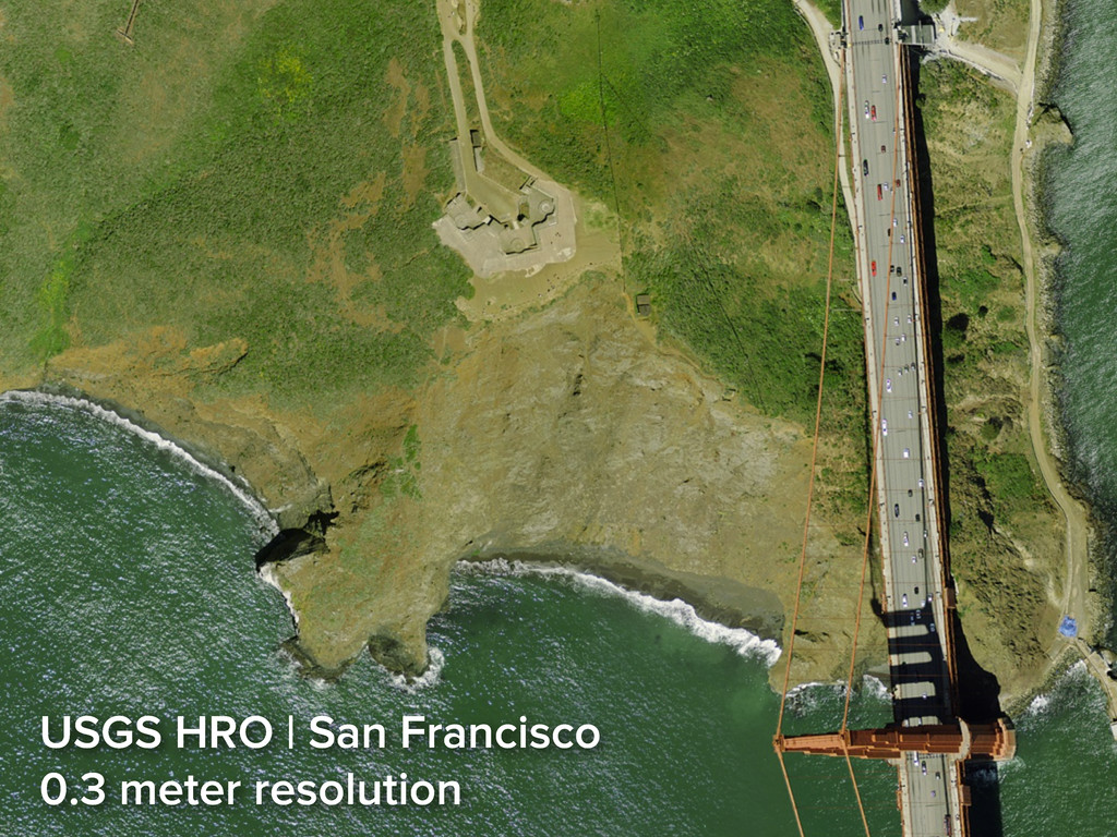
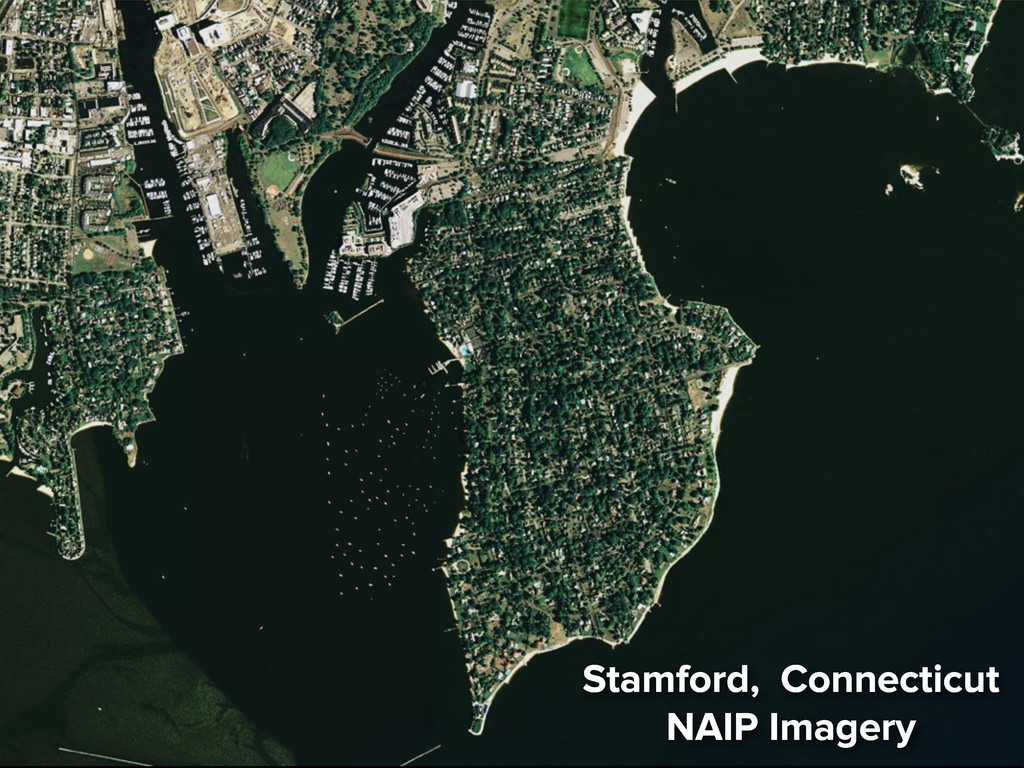
    6 inches to 1 meter resolution • Homeland Security/Disaster risk mitigation uses • Available from USGS EROS, State GIS Agencies High Resolution Orthoimagery
  4. Geoportals • Federal, state, & local government investing in them

    • Endpoints for open geodata access, query, visualization, sometimes download • Most still functionally in beta
  5. 3 Geoportal Users 1. Casual - data discovery 2. Programmatic

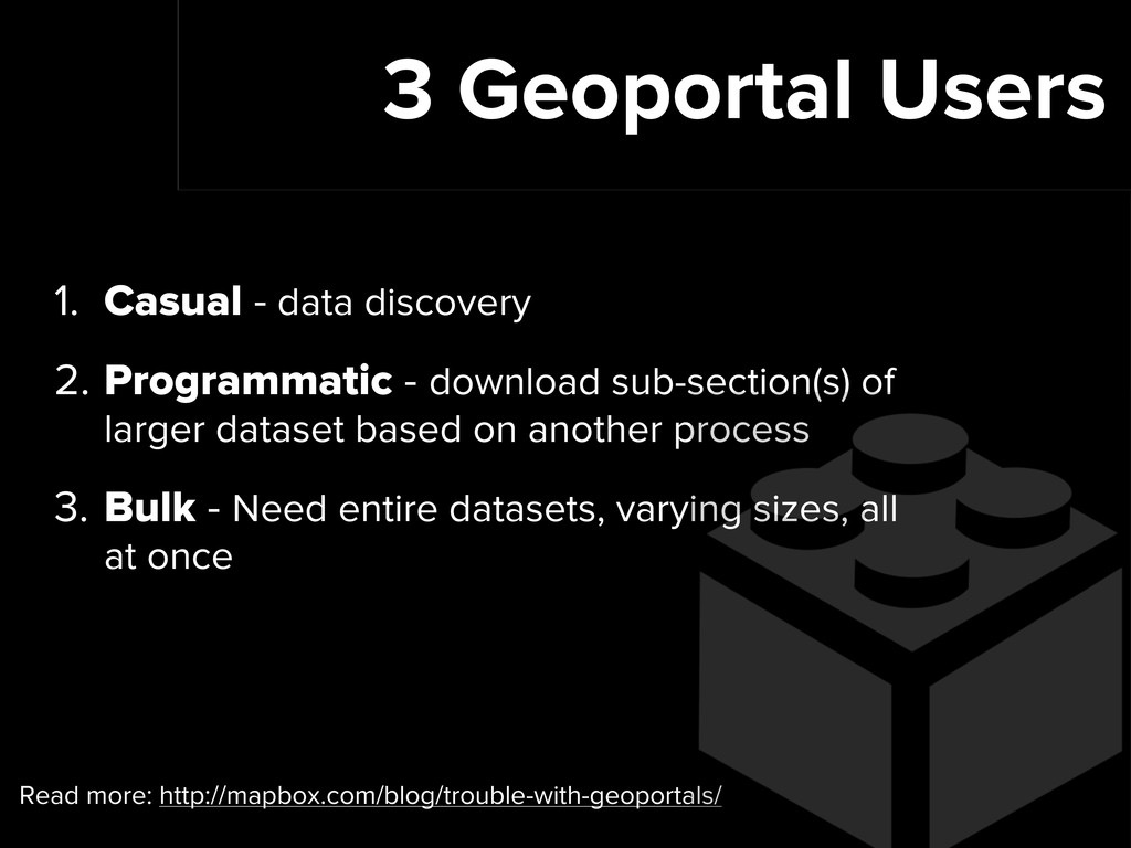
    - download sub-section(s) of larger dataset based on another process 3. Bulk - Need entire datasets, varying sizes, all at once Read more: http://mapbox.com/blog/trouble-with-geoportals/
  6. Best Geoportals 1. FTP-like access to raw data for bulk

    users 2. APIs and developer documentation for programmatic users 3. Visual/spatial queries and processed data options for casual users
  7. Utah Automated Geographic Reference Center • Casual: AGRC Raster Data

    Discovery 1 • Programmatic: Developer Documentation and Utah SGID Image Server • Bulk: anonymous FTP access to data, advertised throughout site. http://agrc.utah.gov/
  8. Room for Improvement • Spatial query/interface not best for all

    • Number of steps between discovery & download • Data size and technical limitations • Websites go down. Use InternetArchive’s WayBackMachine
  9. International • U.S. Government’s commitment to open aerial and satellite

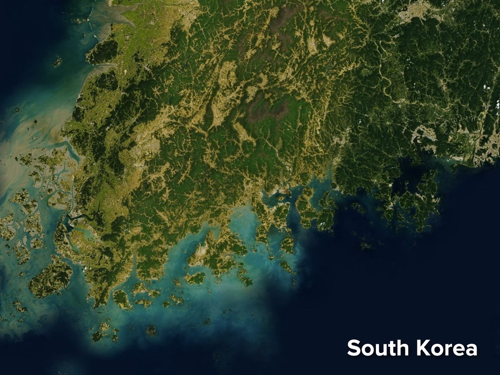
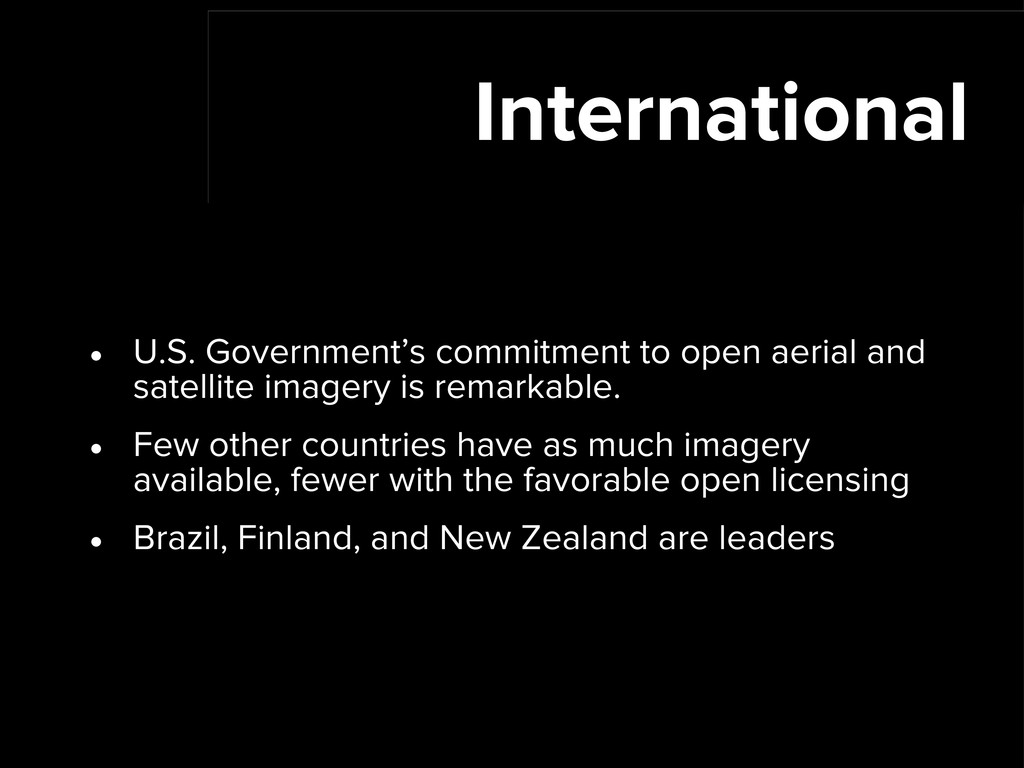
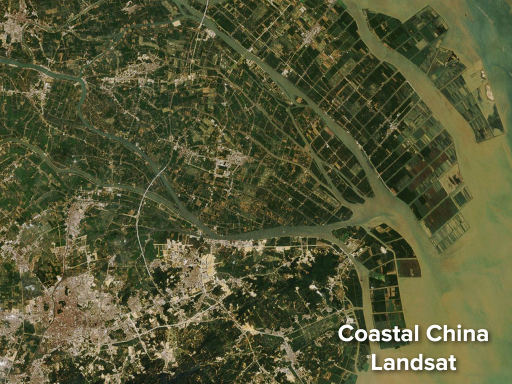
    imagery is remarkable. • Few other countries have as much imagery available, fewer with the favorable open licensing • Brazil, Finland, and New Zealand are leaders
  10. Open data is good. We should be talking about data

    accessibility more, both domestically and internationally.
  11. MapBox Satellite • Access with basic-level MapBox account or higher

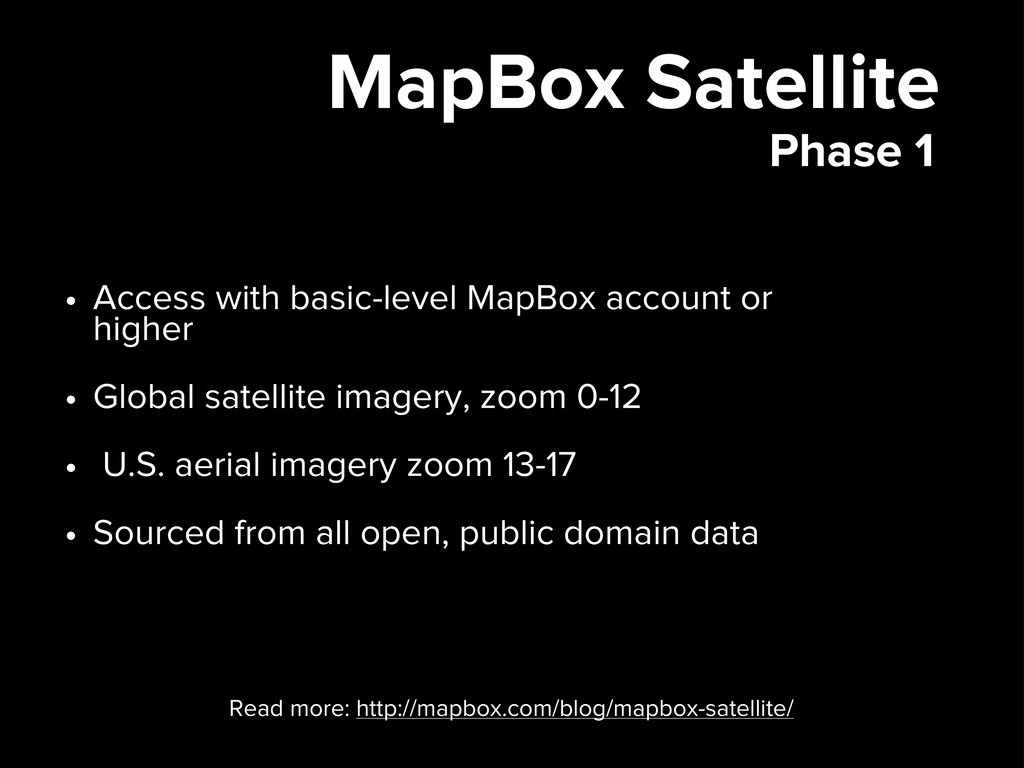
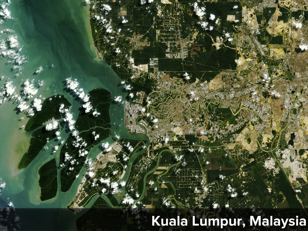
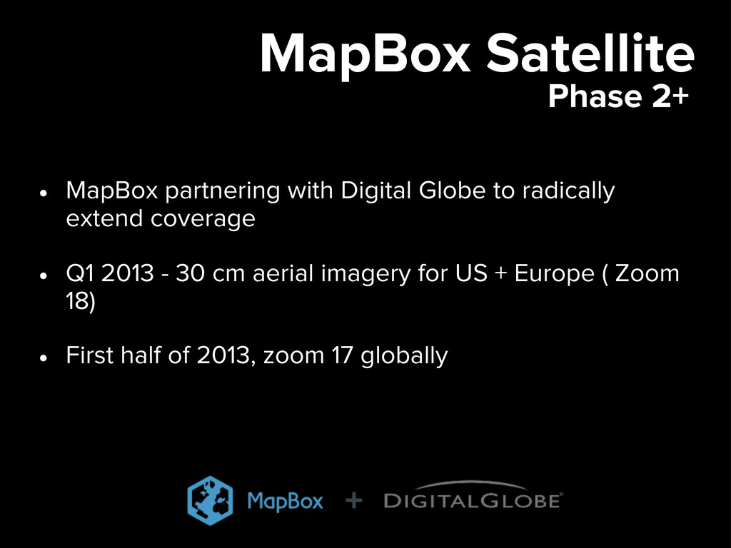
    • Global satellite imagery, zoom 0-12 • U.S. aerial imagery zoom 13-17 • Sourced from all open, public domain data Phase 1 Read more: http://mapbox.com/blog/mapbox-satellite/
  12. MapBox Satellite • MapBox partnering with Digital Globe to radically

    extend coverage • Q1 2013 - 30 cm aerial imagery for US + Europe ( Zoom 18) • First half of 2013, zoom 17 globally Phase 2+
  13. Resources • USDA Data Gateway: http://datagateway.nrcs.usda.gov/ • NASA LPDAAC: https://lpdaac.usgs.gov/

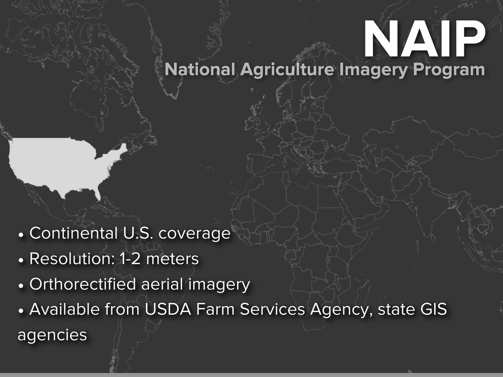
    • National States Geographic Information Council State Clearinghouses: http://www.nsgic.org/clearinghouse-nodes • USGS EROS: http://eros.usgs.gov/ • USGS EarthExplorer: http://earthexplorer.usgs.gov/ • USGS The National Map: http://nationalmap.gov
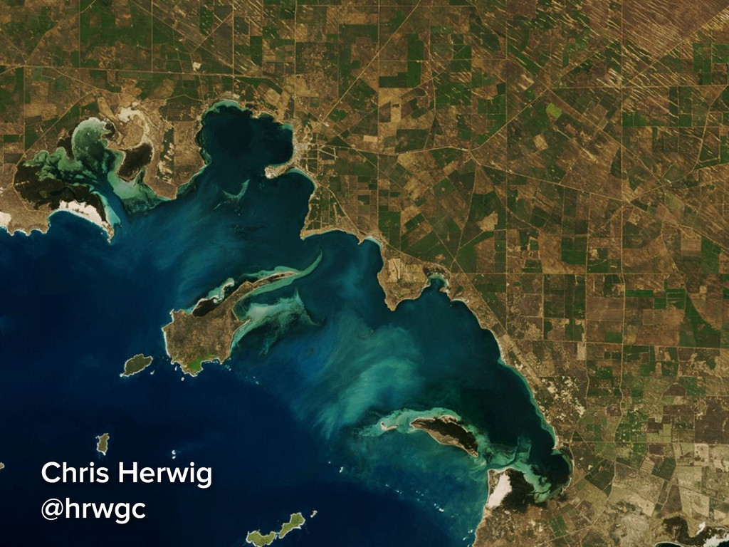