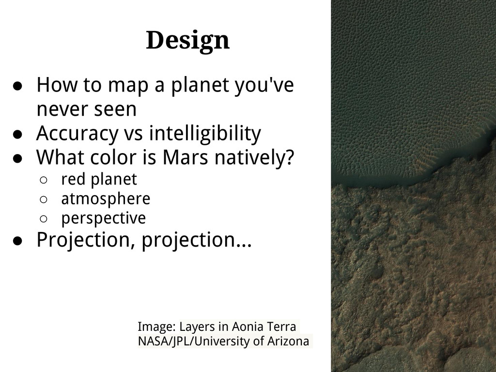
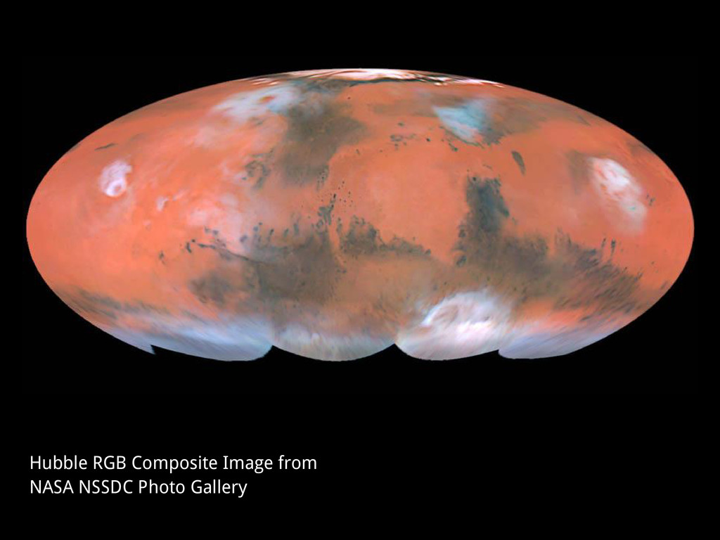
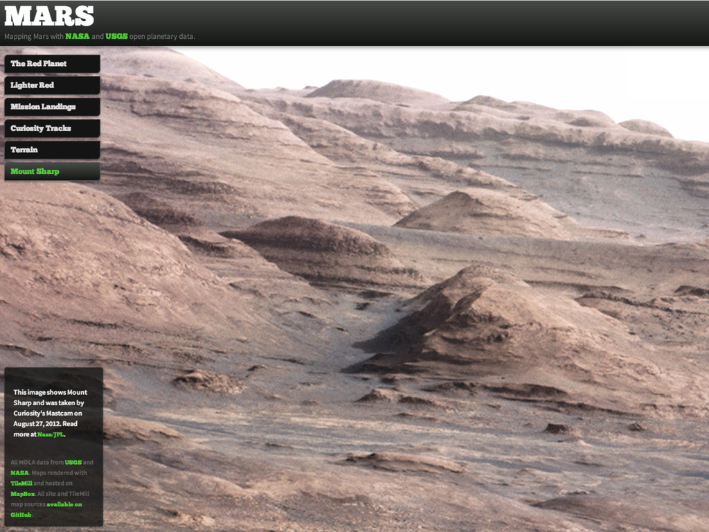
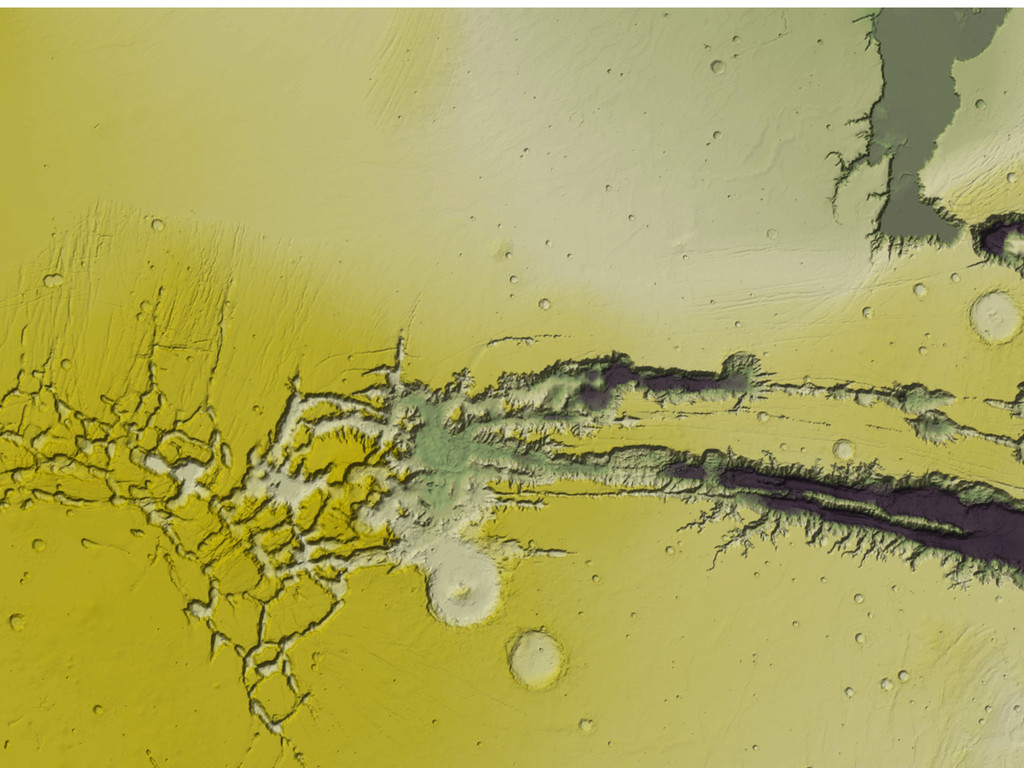
• Accuracy vs intelligibility • What color is Mars natively? ◦ red planet ◦ atmosphere ◦ perspective • Projection, projection... Image: Layers in Aonia Terra NASA/JPL/University of Arizona
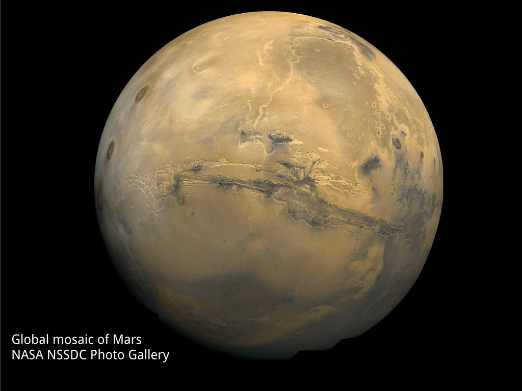
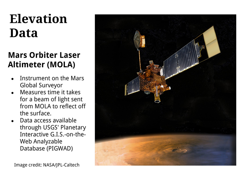
the Mars Global Surveyor • Measures time it takes for a beam of light sent from MOLA to reflect off the surface. • Data access available through USGS' Planetary Interactive G.I.S.-on-the- Web Analyzable Database (PIGWAD) Image credit: NASA/JPL-Caltech
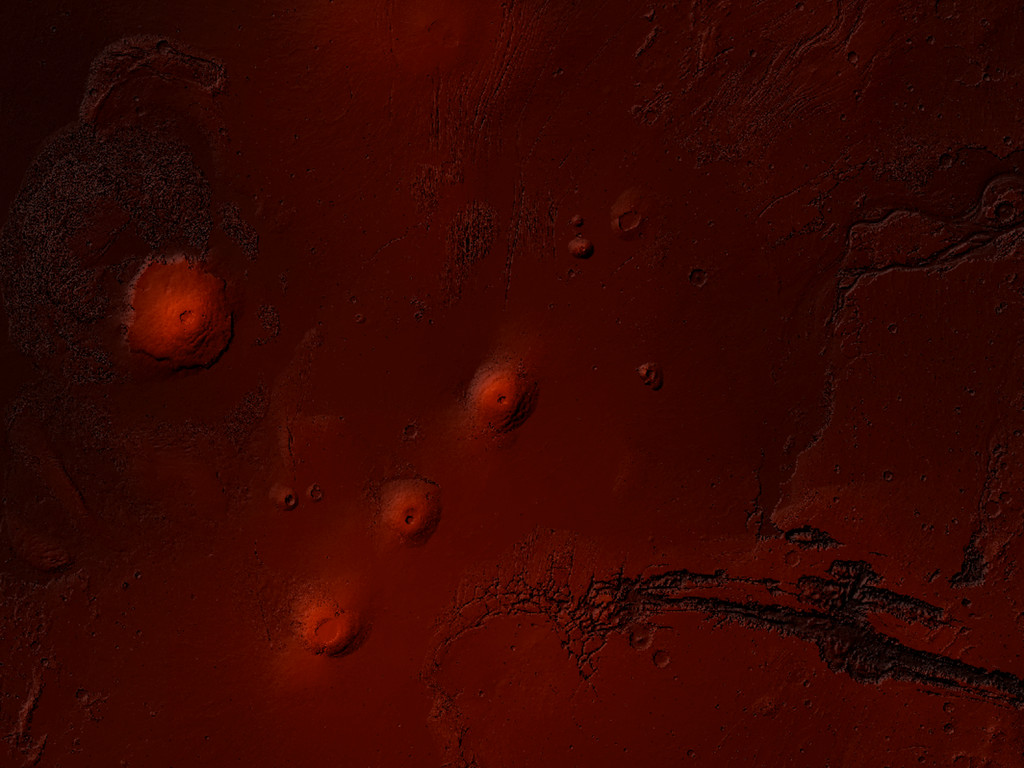
+ gdaldem color-relief for slope shading 4. gdalwarp 1, 2, and 3 to Google Mercator 5. Use TileMill with new Mapnik compositing features to combine color- relief, hillshade, and slope shading.
![Mapping Mars Chris Herwig, MapBox [email protected] @hrwgc](https://files.speakerdeck.com/presentations/a8cf2cc03cb101301ddd123138109043/slide_0.jpg)
![Visit Mars Twitter: @hrwgc Email: [email protected] Questions? hrwgc.github.com/planets](https://files.speakerdeck.com/presentations/a8cf2cc03cb101301ddd123138109043/slide_21.jpg)