Upgrade to Pro
— share decks privately, control downloads, hide ads and more …
Speaker Deck
Features
Speaker Deck
PRO
Sign in
Sign up for free
Search
Search
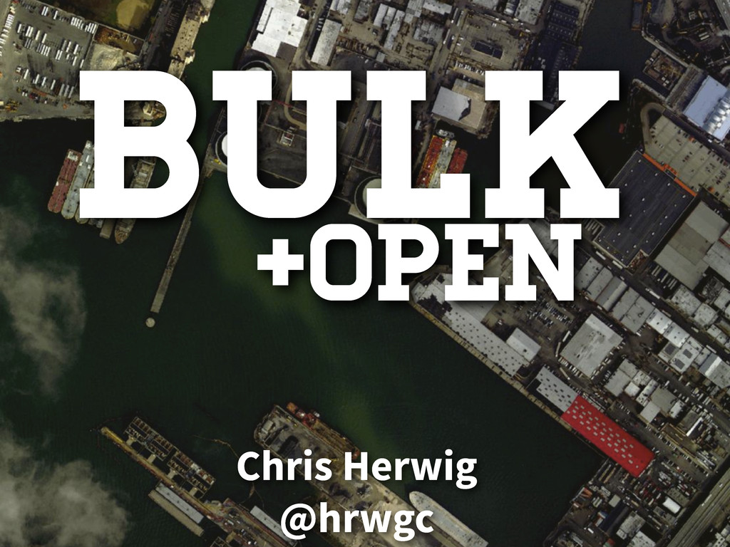
Bulk + Open Data APIs
Search
Sponsored
·
Your Podcast. Everywhere. Effortlessly.
Share. Educate. Inspire. Entertain. You do you. We'll handle the rest.
→
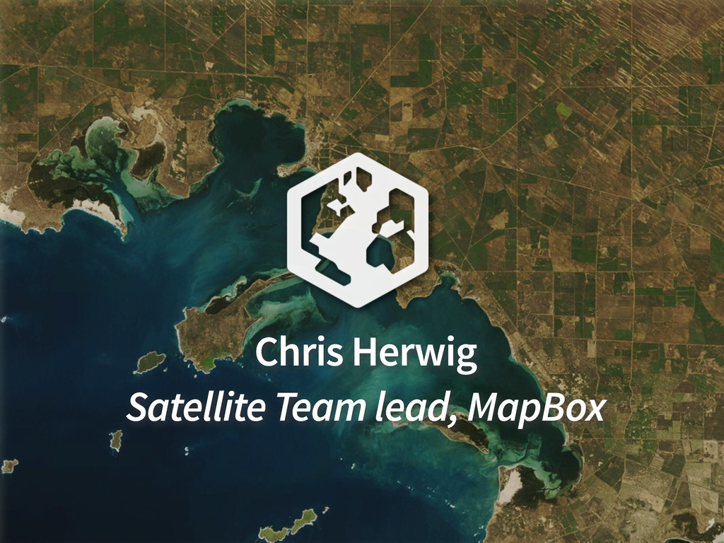
Chris Herwig
April 04, 2013
Technology
280
2
Share
Embed
Copy iframe code
Copy JS code
Copy link
Start on current slide
Bulk + Open Data APIs
Chris Herwig
April 04, 2013
More Decks by Chris Herwig
See All by Chris Herwig
Clear Skies: Turning Massive NASA Data into a Pixel-Perfect World Atlas
hrwgc
0
1.5k
Open + Accessible
hrwgc
2
140
Open Satellite Imagery and Geoportals | MapBox Satellite
hrwgc
1
230
Mapping Mars Open Source
hrwgc
1
110
Other Decks in Technology
See All in Technology
人とエージェントが高め合う協業設計
kintotechdev
0
810
StepFunctionsとGraphRAGを活用した暗黙知活用のためのRAG基盤
yakumo
0
160
伝票作成AIエージェントを支える、LLMOpsとインフラの選択肢 / AICon2026_takeda
rakus_dev
0
270
どこまでAIに任せるか 〜確率論と決定論の境界決定〜
shukob
0
500
設計レビューとAIハーネスで向き合う AIが生み出した新しいボトルネックの対処法 / Design Reviews and AI Harnesses Against New Bottlenecks Created by AI
nstock
5
460
OpenTelemetryにおけるGoのゼロコード・コンパイル時計装について #fukuokago
quiver
0
270
Claude Mythos、Fable...フロンティアAIの最新動向と企業のセキュリティ対策
flatt_security
0
130
インシデント事例と パッケージの全量解析に学ぶ ソフトウェアサプライチェーンの守り方 / supply-chain-attack-defense
flatt_security
0
950
Webアプリ認証の全体像 / The Big Picture of Web App Authentication
kitano_yuichi
1
440
【公開用】AI_Dev_Ex2026_AI_登壇資料
matsuritechnologies
PRO
2
540
探索・可視化・自動化を一本化 Amazon Quickでデータ活用スピードを上げる方法
koheiyoshikawa
0
190
テックカンファレンス三大ステークホルダーの文化人類学 ─ 違いを認め合う関係性作り
bash0c7
1
260
Featured
See All Featured
brightonSEO & MeasureFest 2025 - Christian Goodrich - Winning strategies for Black Friday CRO & PPC
cargoodrich
3
760
Documentation Writing (for coders)
carmenintech
77
5.4k
Building AI with AI
inesmontani
PRO
1
1.1k
Let's Do A Bunch of Simple Stuff to Make Websites Faster
chriscoyier
508
140k
Efficient Content Optimization with Google Search Console & Apps Script
katarinadahlin
PRO
1
740
SEO for Brand Visibility & Recognition
aleyda
0
4.6k
Game over? The fight for quality and originality in the time of robots
wayneb77
1
230
Hiding What from Whom? A Critical Review of the History of Programming languages for Music
tomoyanonymous
3
1k
Building an army of robots
kneath
306
46k
No one is an island. Learnings from fostering a developers community.
thoeni
21
3.8k
Save Time (by Creating Custom Rails Generators)
garrettdimon
PRO
32
3.9k
Typedesign – Prime Four
hannesfritz
42
3.1k
Transcript
Bulk Chris Herwig @hrwgc +open
Chris Herwig Satellite Team lead, MapBox
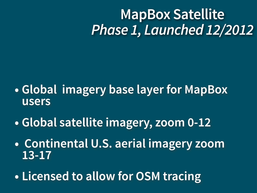
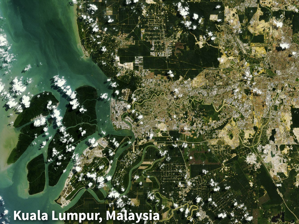
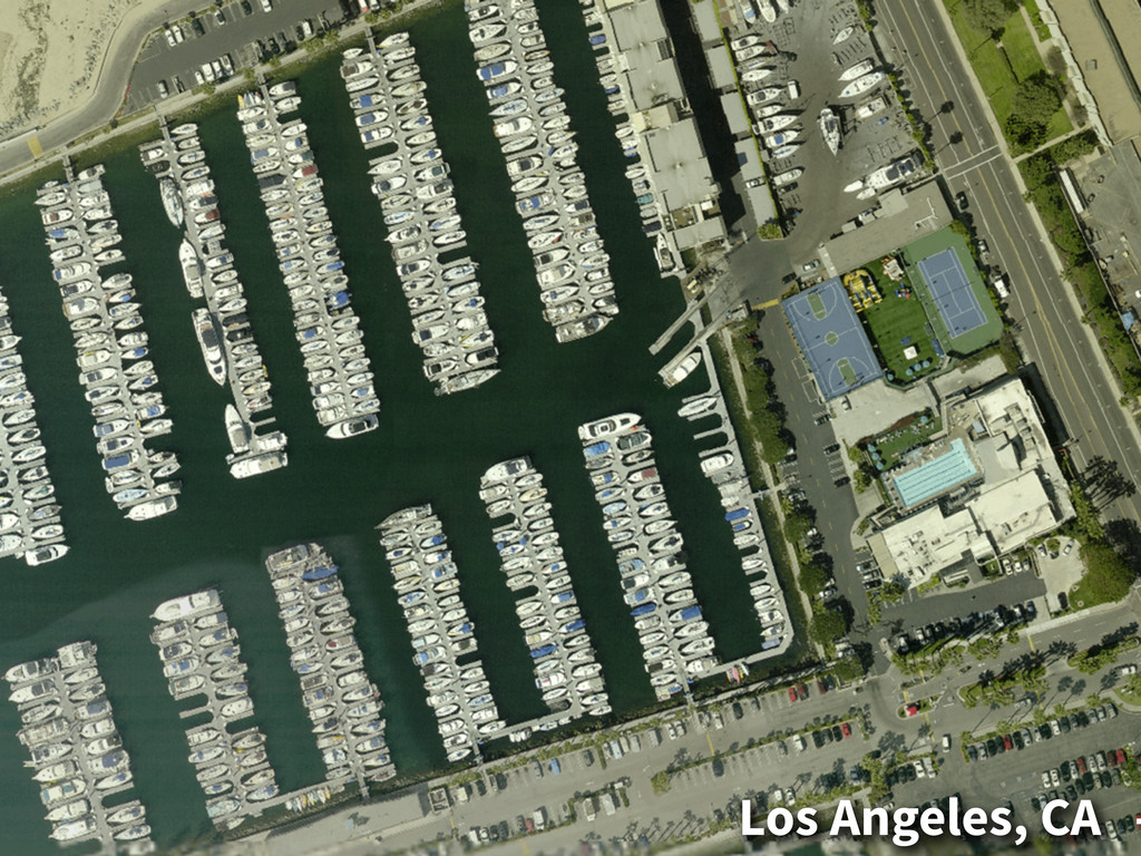
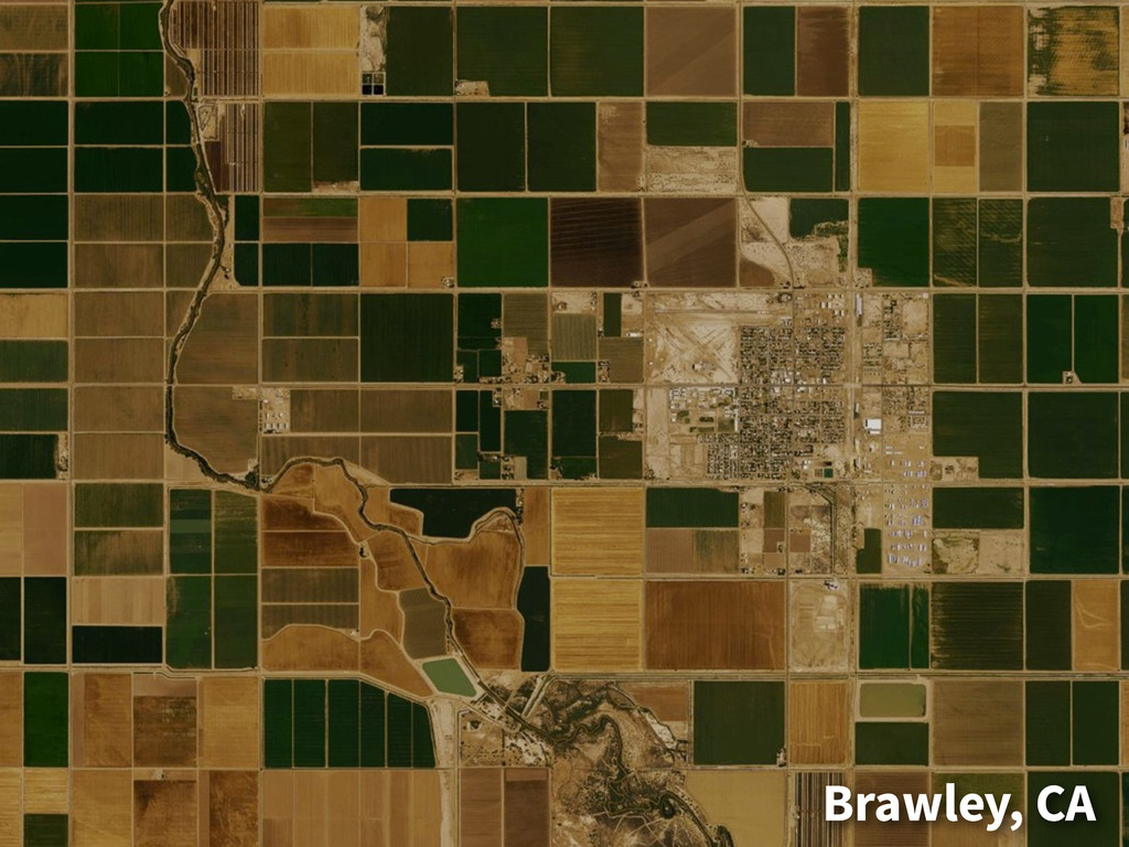
MapBox Satellite Phase 1, Launched 12/2012 • Global imagery base
layer for MapBox users • Global satellite imagery, zoom 0-12 • Continental U.S. aerial imagery zoom 13-17 • Licensed to allow for OSM tracing
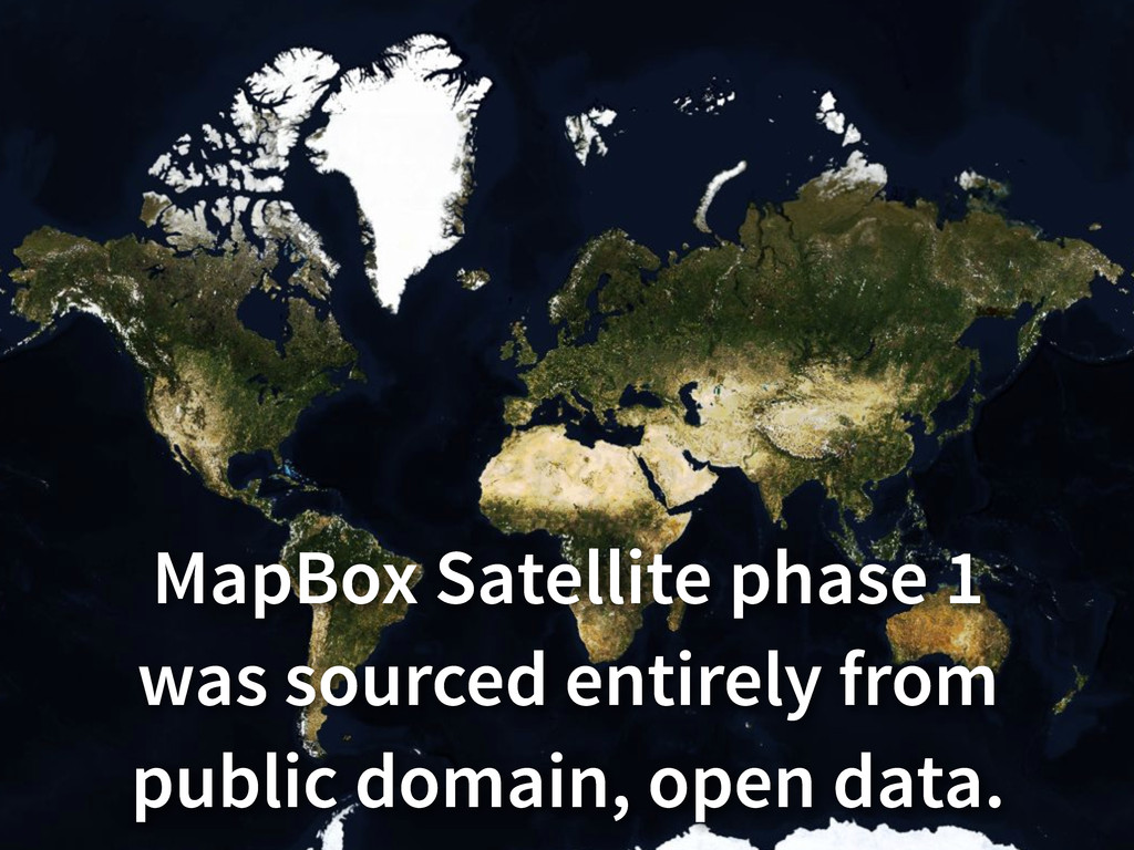
MapBox Satellite phase 1 was sourced entirely from public domain,
open data.
Kuala Lumpur, Malaysia
Los Angeles, CA -
Brawley, CA
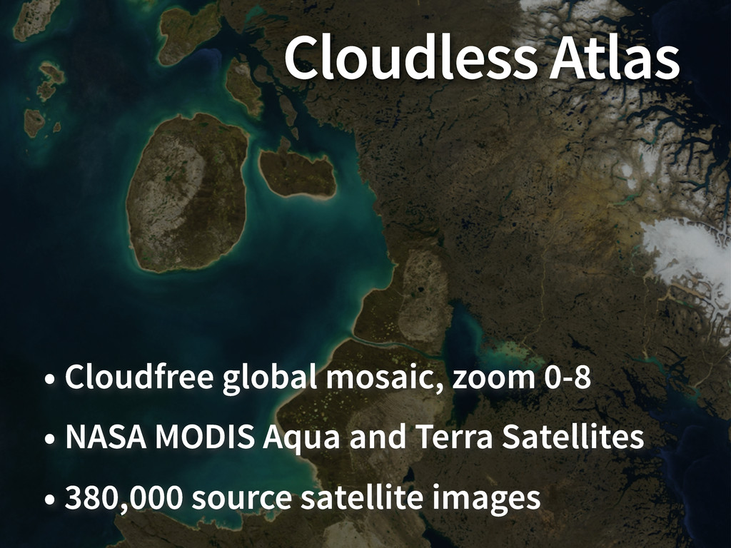
Cloudless Atlas • Cloudfree global mosaic, zoom 0-8 • NASA
MODIS Aqua and Terra Satellites • 380,000 source satellite images
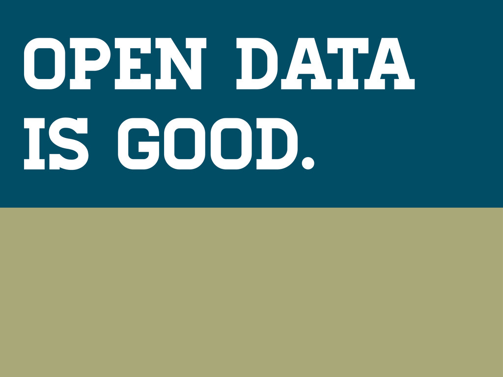
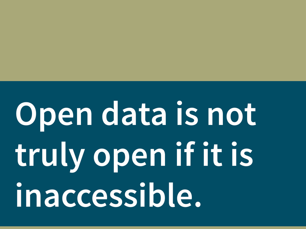
Open data is good.
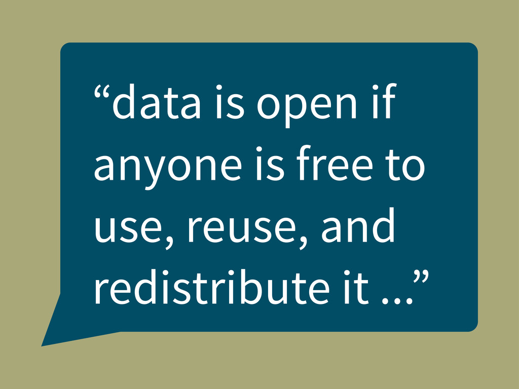
“data is open if anyone is free to use, reuse,
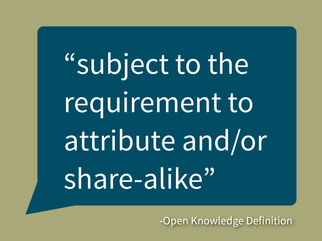
and redistribute it ...”
“subject to the requirement to attribute and/or share-alike” -Open Knowledge
Definition
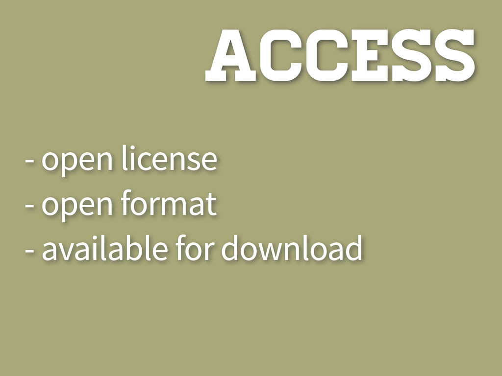
ACCESS
- open license - open format - available for download
ACCESS
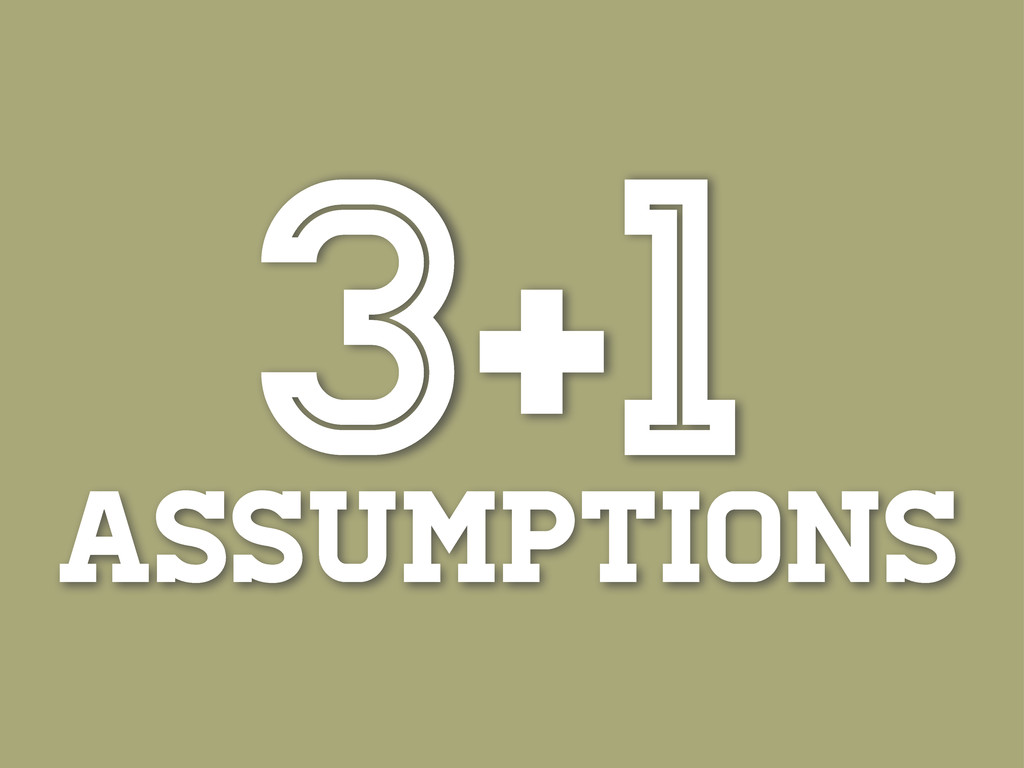
assumptions 3+1
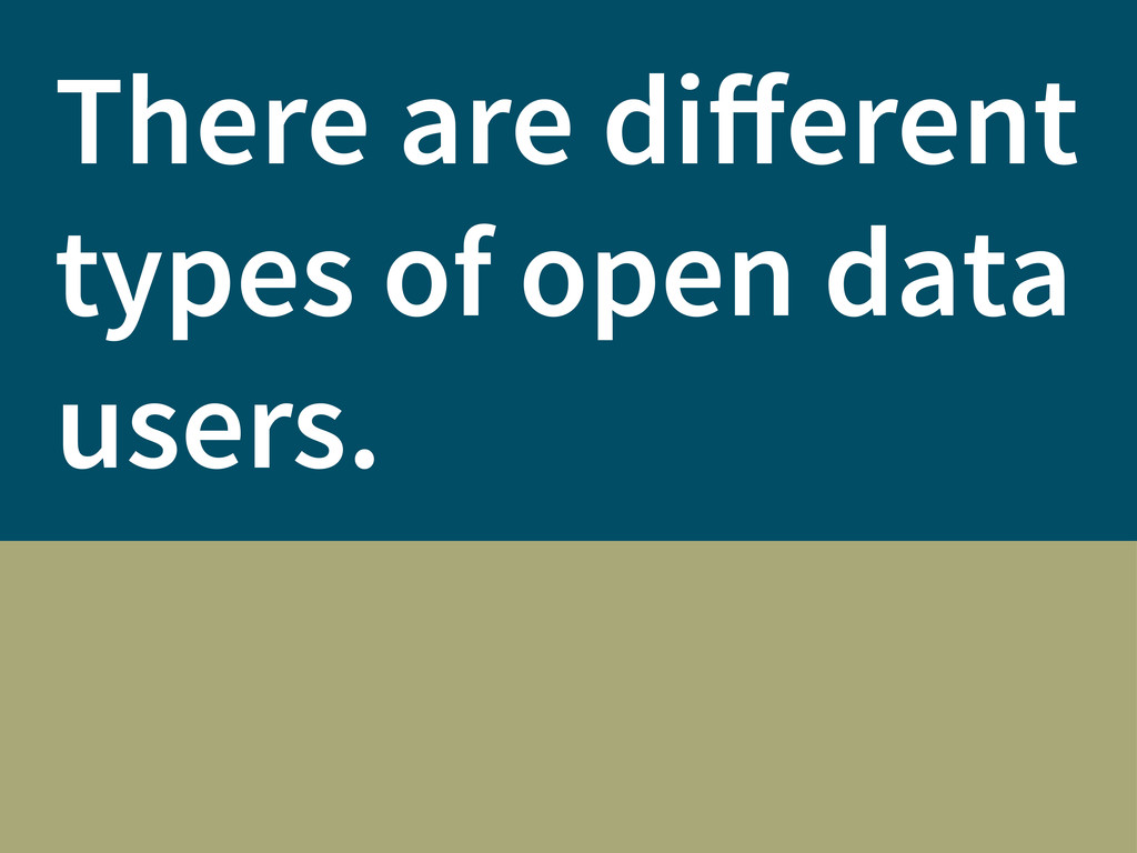
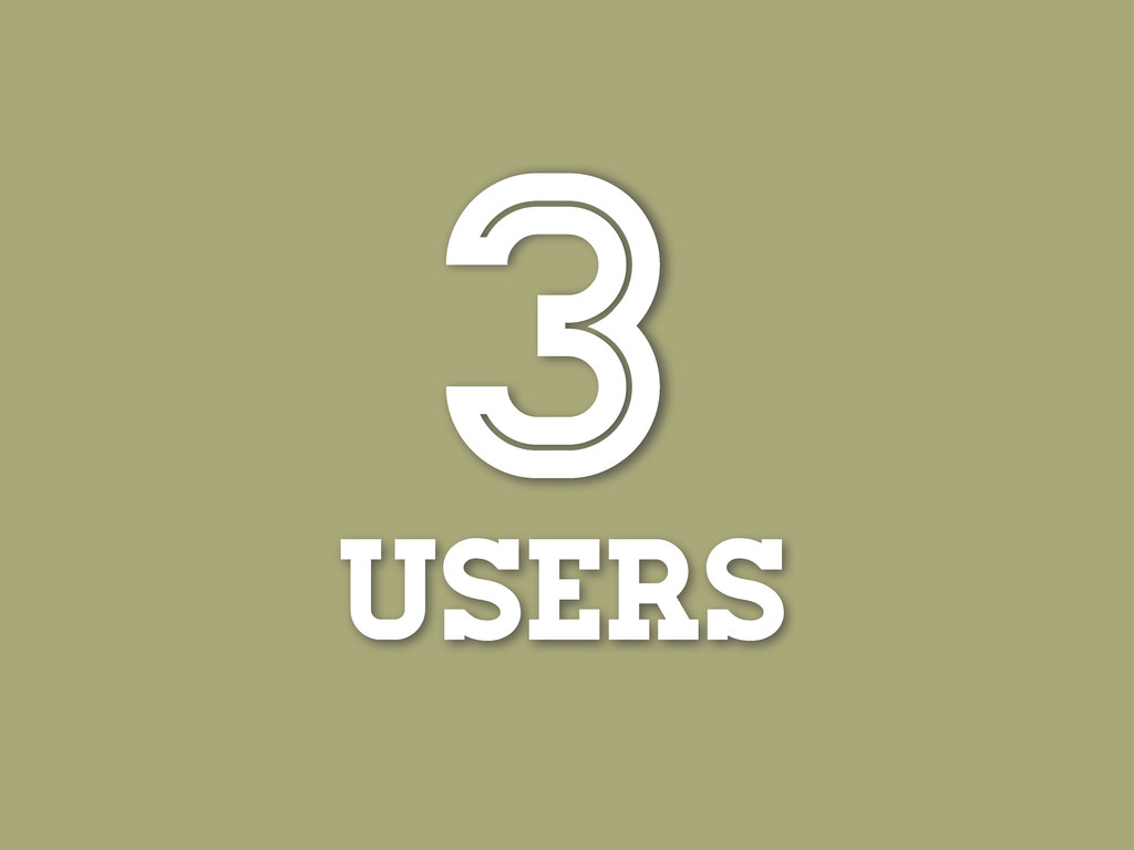
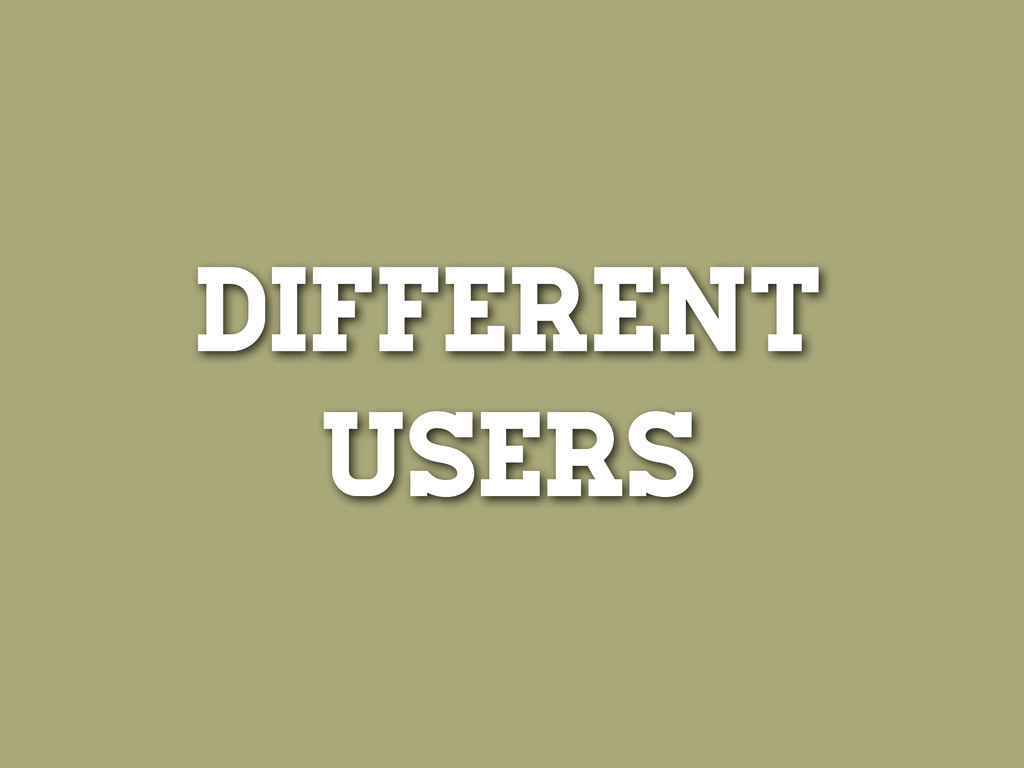
There are different types of open data users.
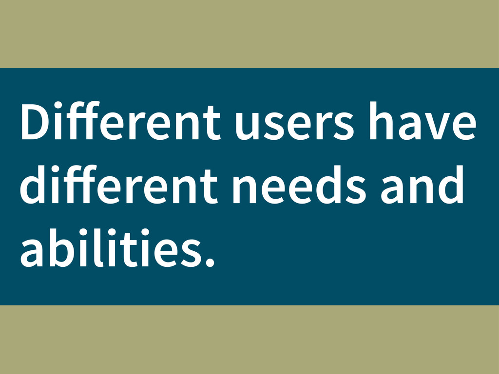
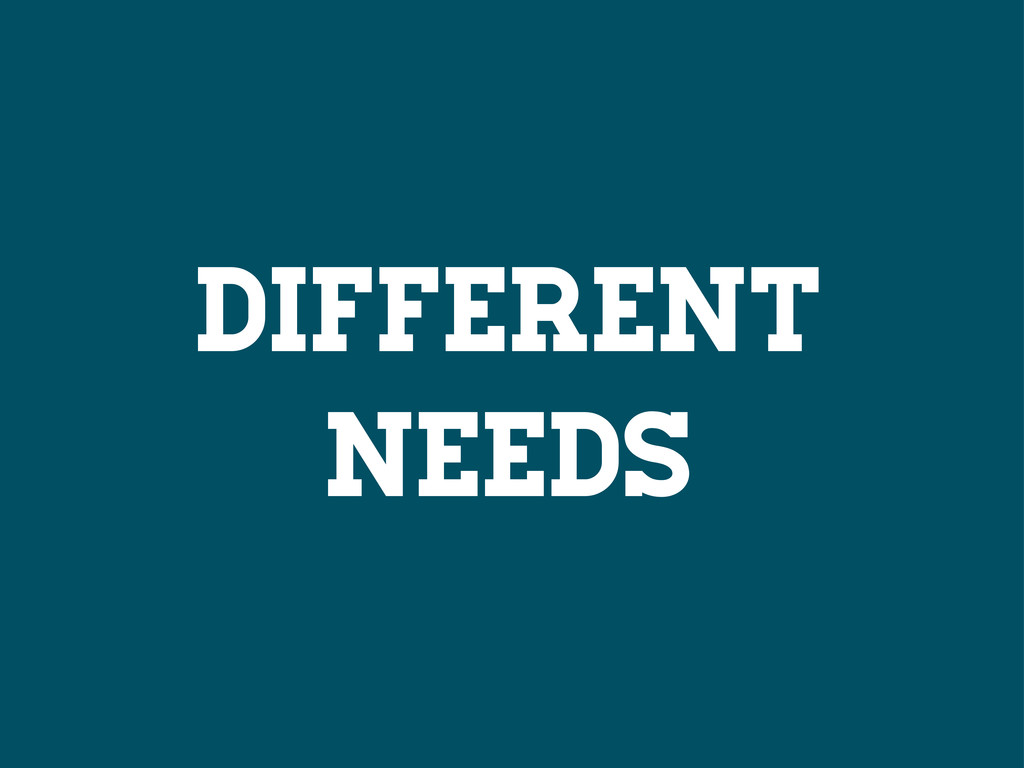
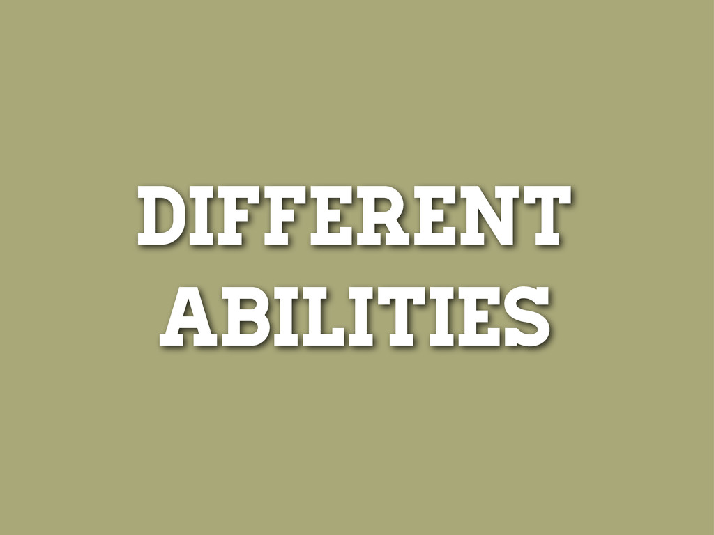
Different users have different needs and abilities.
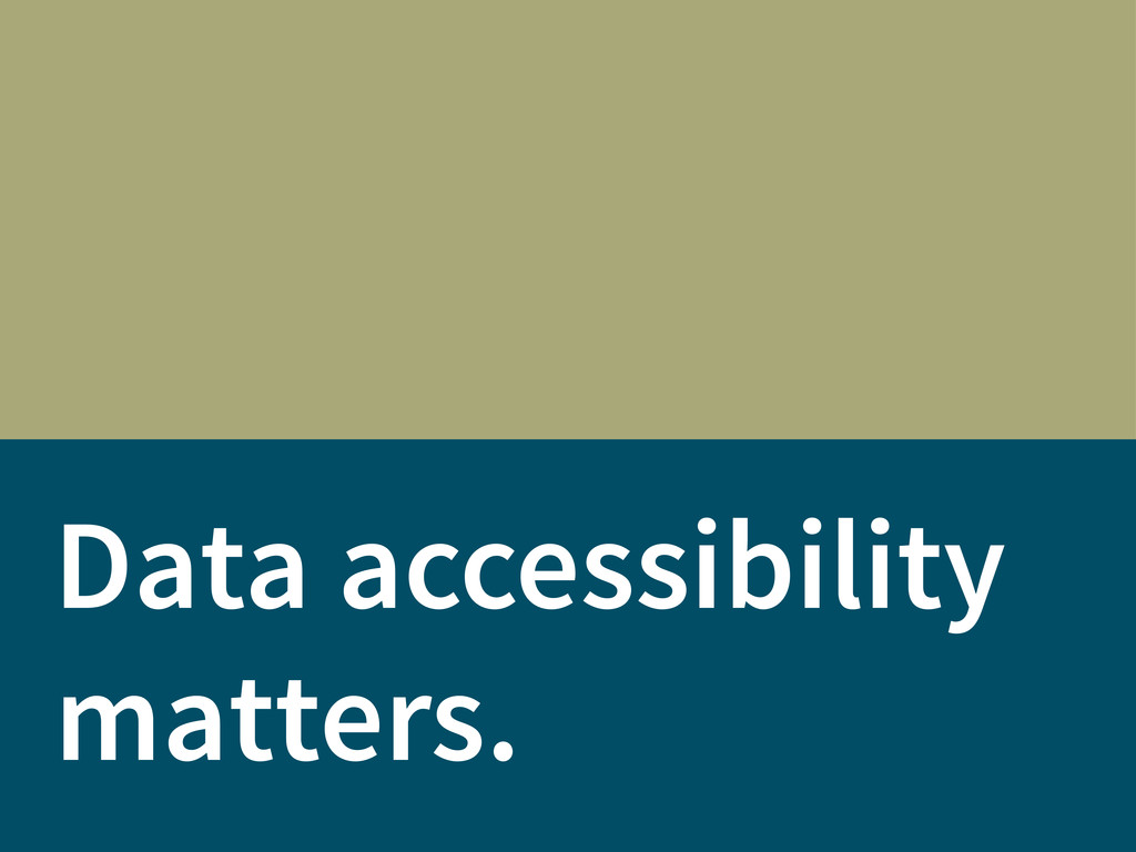
Data accessibility matters.
Open data is not truly open if it is inaccessible.
USERS 3
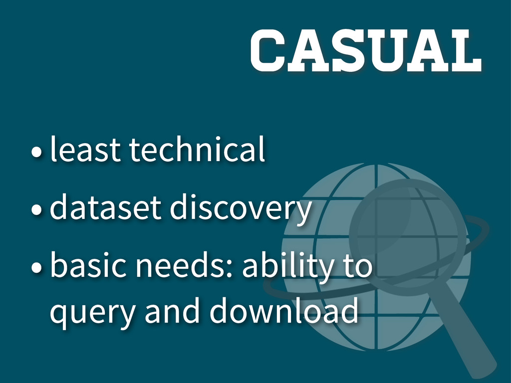
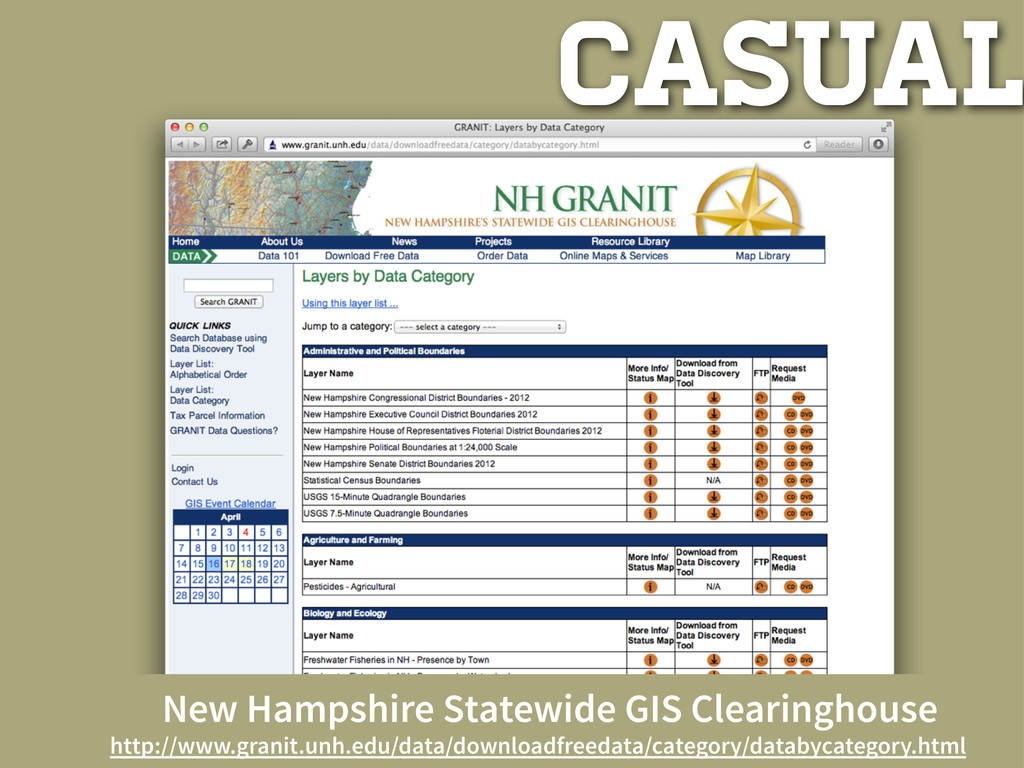
CASUAL
casual •least technical •dataset discovery •basic needs: ability to query
and download
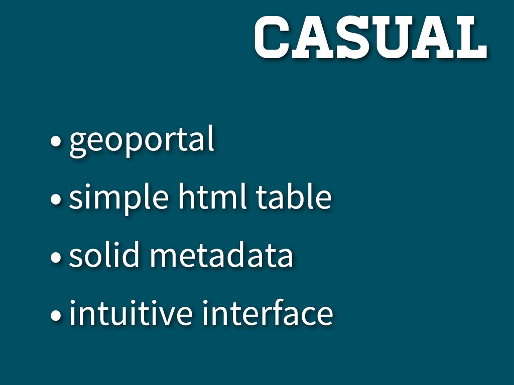
•geoportal •simple html table •solid metadata •intuitive interface casual
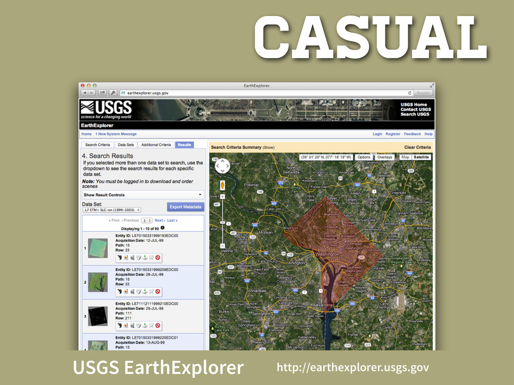
casual USGS EarthExplorer http://earthexplorer.usgs.gov
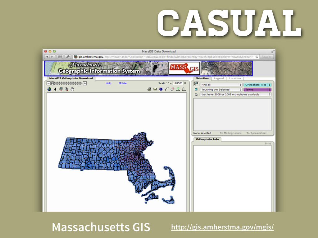
casual Massachusetts GIS http://gis.amherstma.gov/mgis/
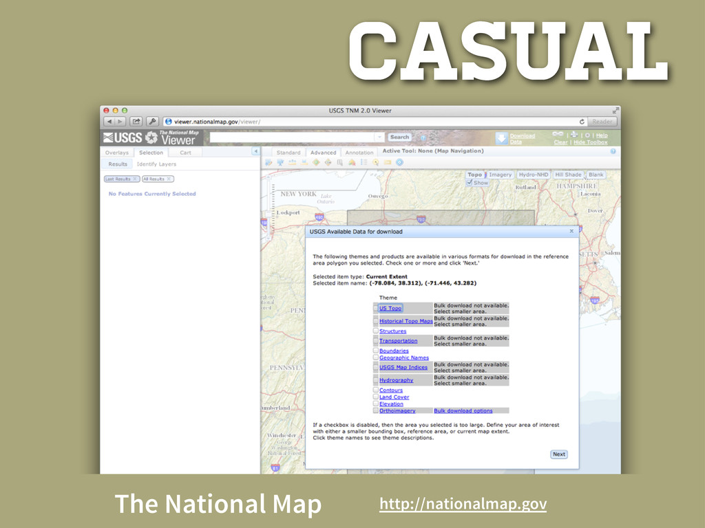
casual The National Map http://nationalmap.gov
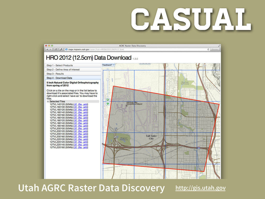
casual Utah AGRC Raster Data Discovery http://gis.utah.gov
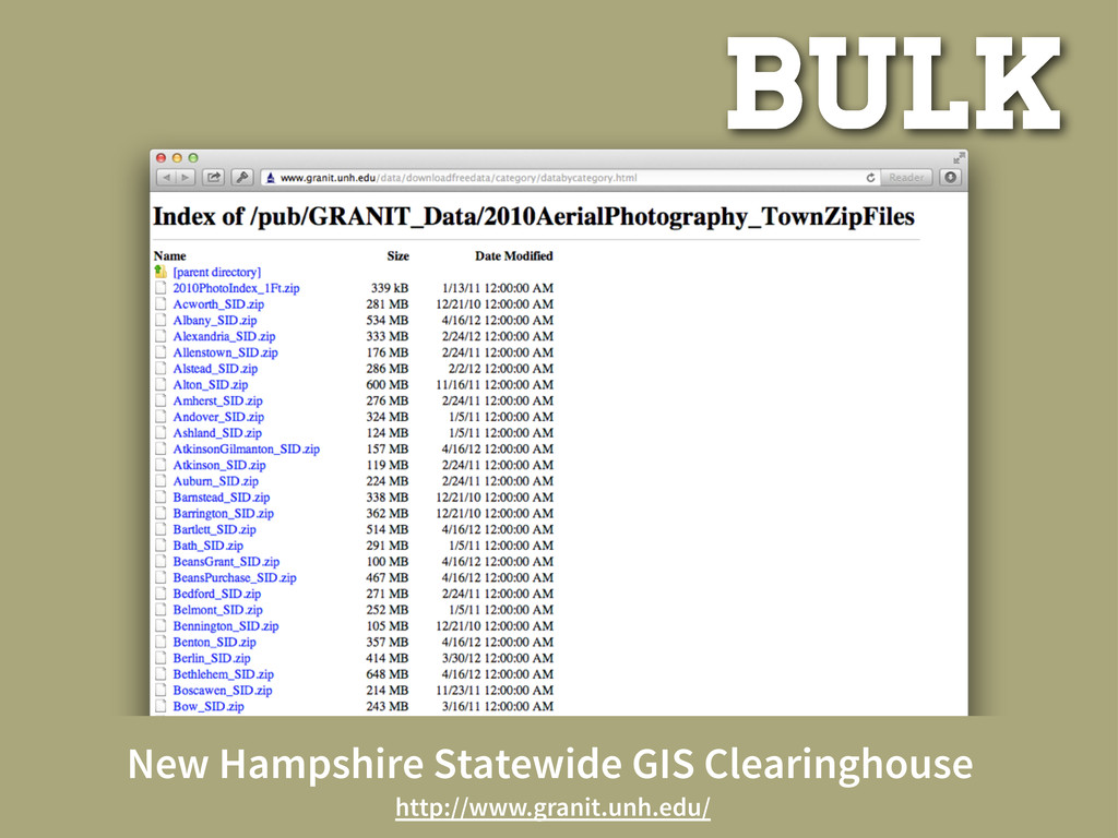
casual New Hampshire Statewide GIS Clearinghouse http://www.granit.unh.edu/data/downloadfreedata/category/databycategory.html
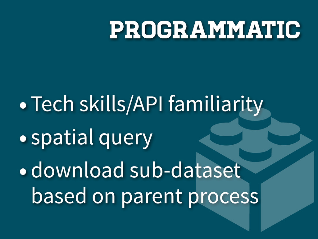
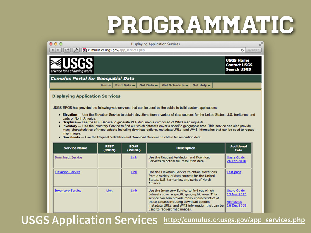
PROGRAM MATIC
•Tech skills/API familiarity •spatial query •download sub-dataset based on parent
process programmatic
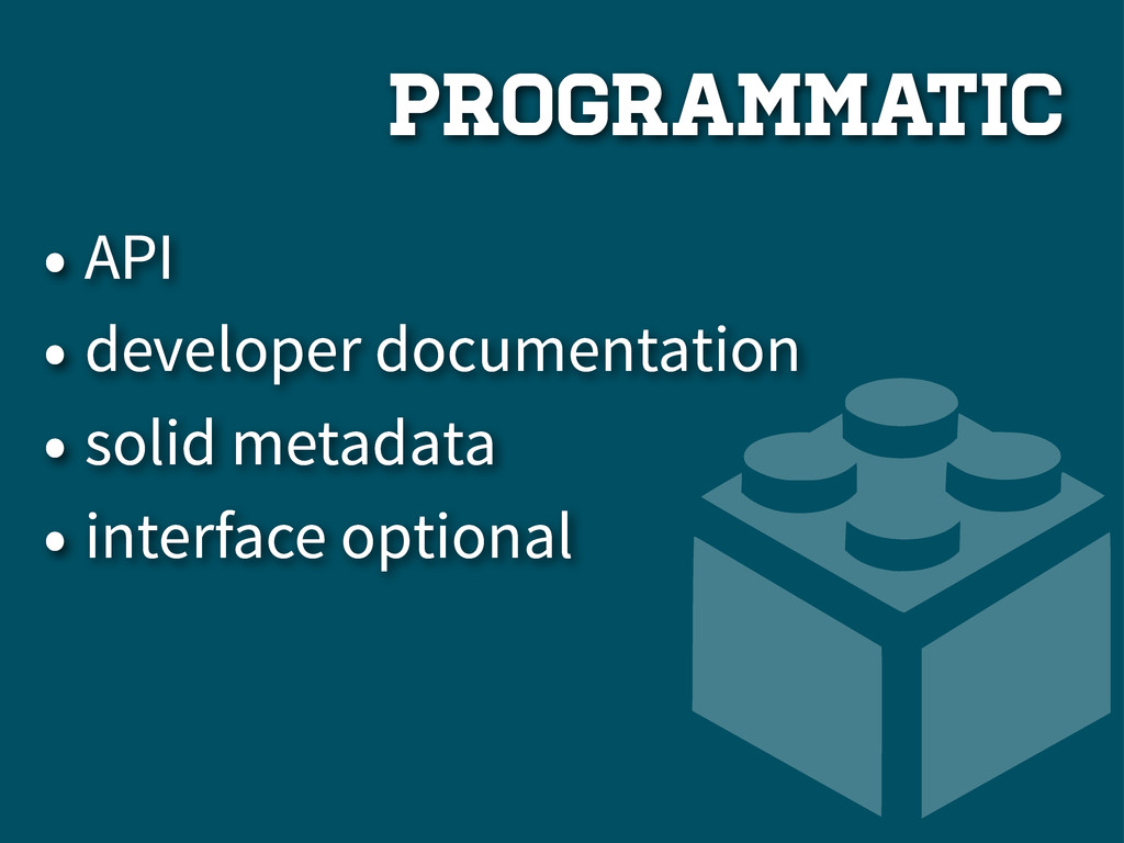
programmatic • API • developer documentation • solid metadata •
interface optional
USGS Application Services http://cumulus.cr.usgs.gov/app_services.php programmatic
USGS Application Services http://cumulus.cr.usgs.gov/app_services.php programmatic
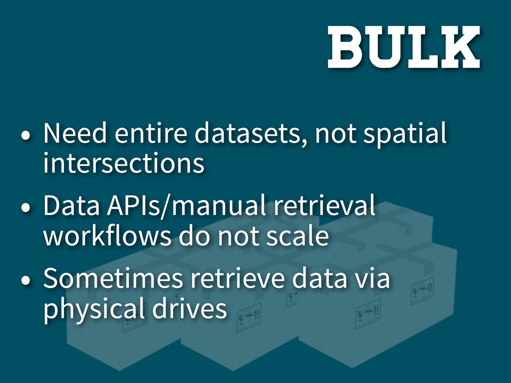
BULK
bulk • Need entire datasets, not spatial intersections • Data
APIs/manual retrieval workflows do not scale • Sometimes retrieve data via physical drives
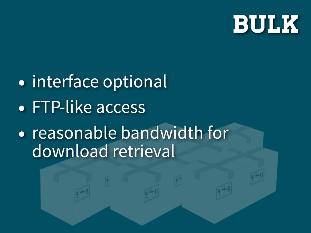
bulk • interface optional • FTP-like access • reasonable bandwidth
for download retrieval
New Hampshire Statewide GIS Clearinghouse http://www.granit.unh.edu/ Bulk
API
TYPES 3
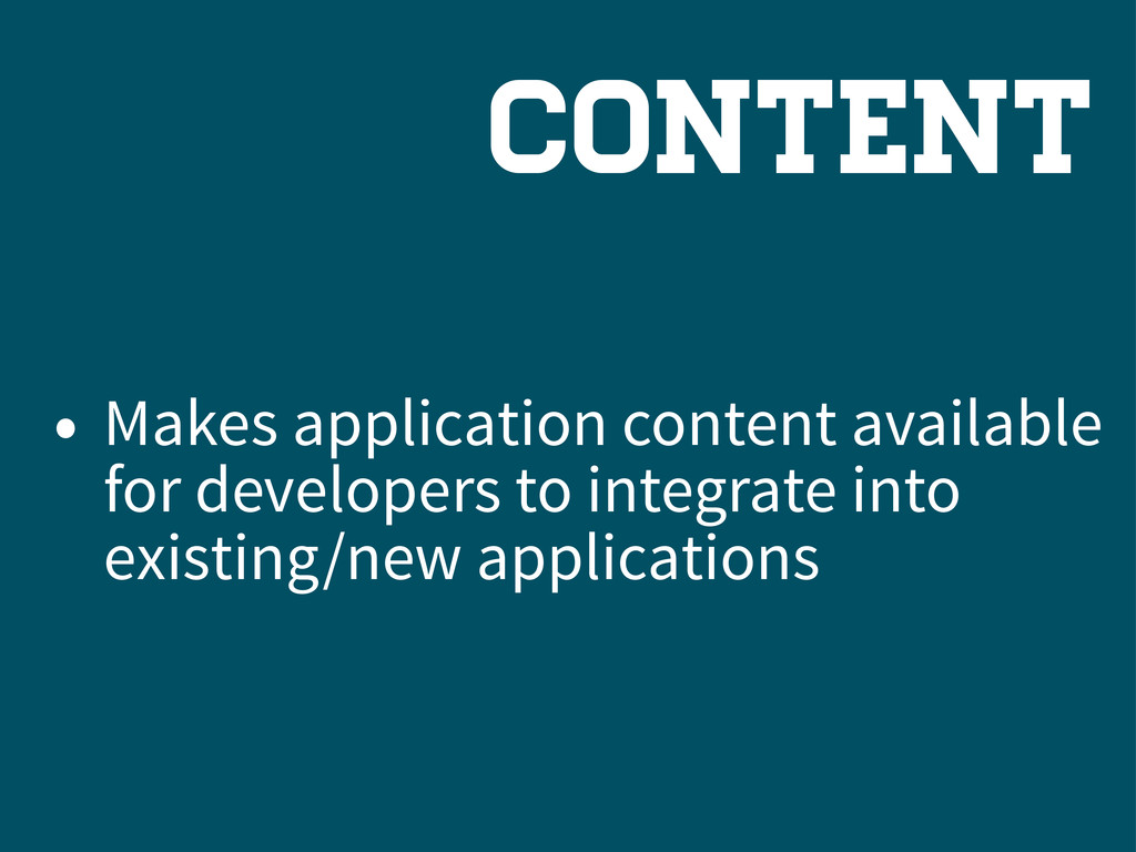
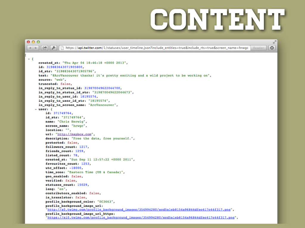
CONTENT
ConTeNt Database REST Content
Content • Makes application content available for developers to integrate
into existing/new applications
Content
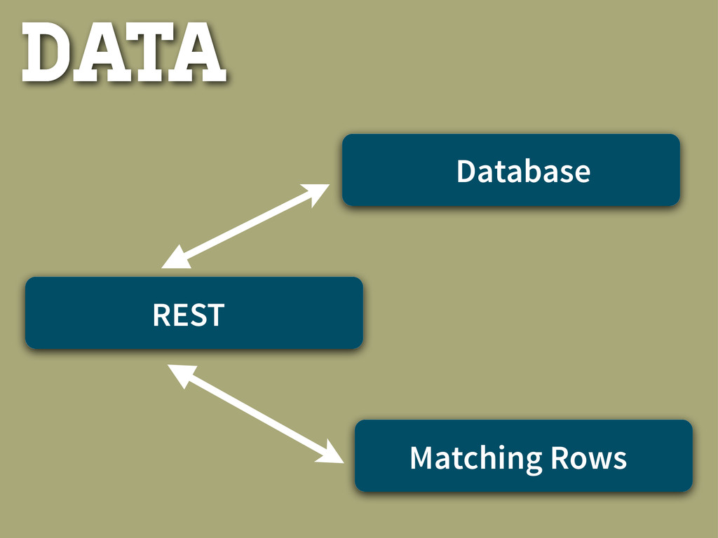
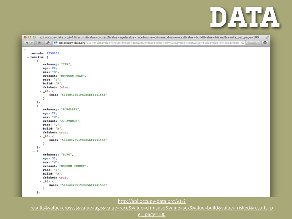
DATA
Database REST Matching Rows Data
DATA • Allows users to query large datasets without having
to have full dataset locally • Applications can be built on top of Live/real-time datasets
Data http://api.occupy-data.org/v1/? results&value=crossst&value=age&value=race&value=crimsusp&value=sex&value=build&value=frisked&results_p er_page=100
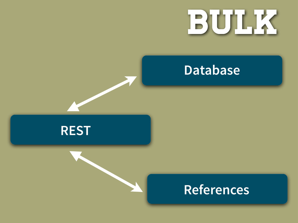
BULK
Bulk Database REST References
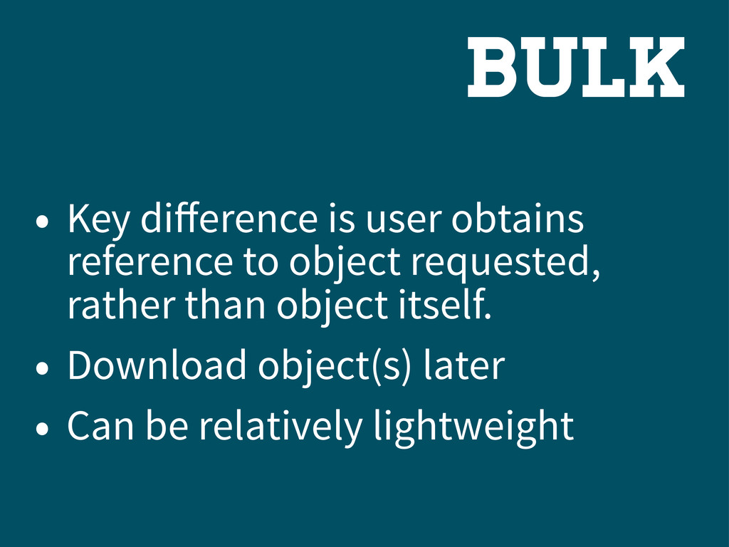
bulk • Key difference is user obtains reference to object
requested, rather than object itself. • Download object(s) later • Can be relatively lightweight
SO?
Data API = Best Open Data MetHOD?
NO.
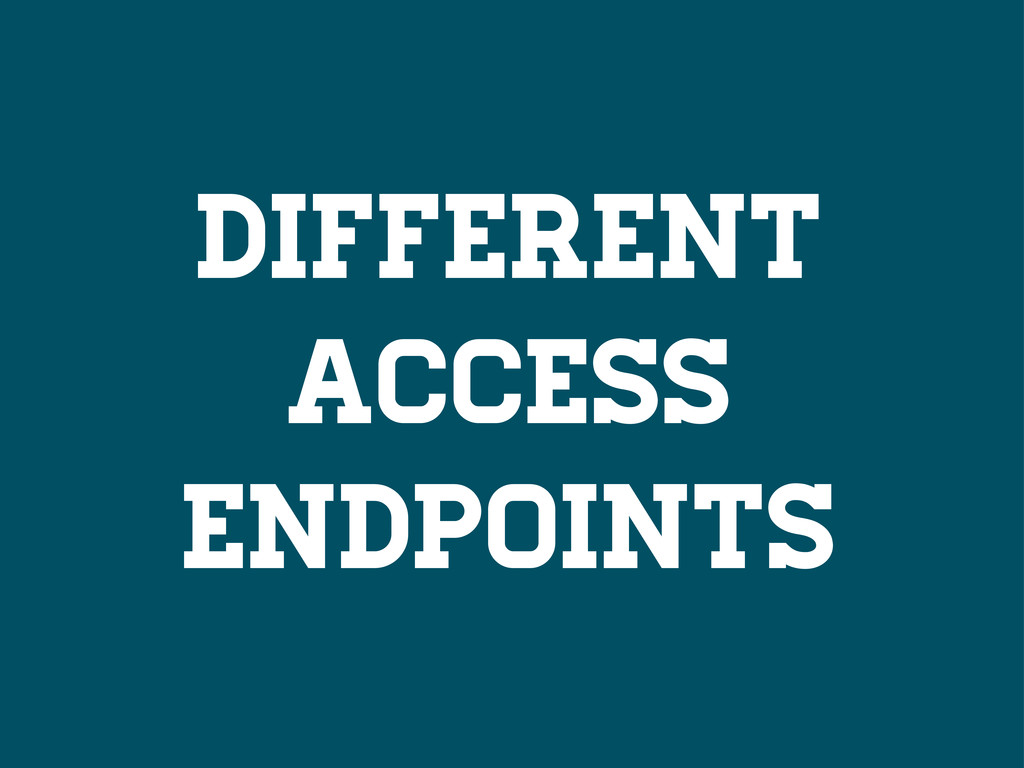
APIs, like geoportals, are not always the best option for
disseminating open data.
Different USers
Different NEEds
Different Abilities
Different Access Endpoints
STUFF breaks
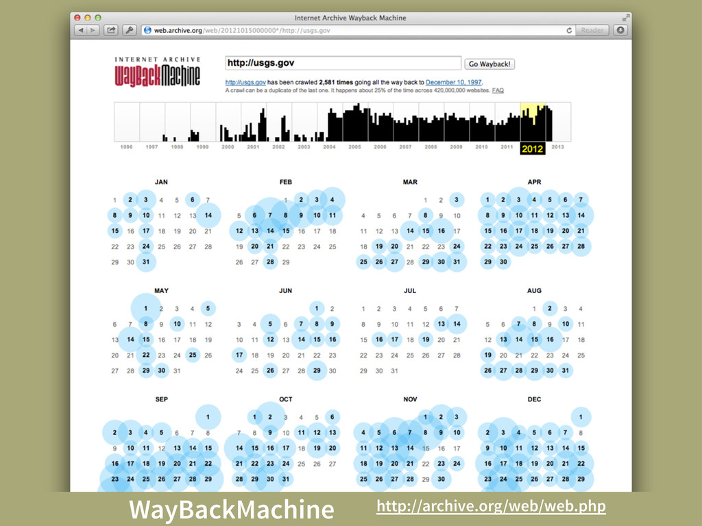
Permalinks != Permanent
WayBackMachine http://archive.org/web/web.php
So?
Open data users change as tech changes.
Access should be a policy and tech consideration.
NEXT STEPS
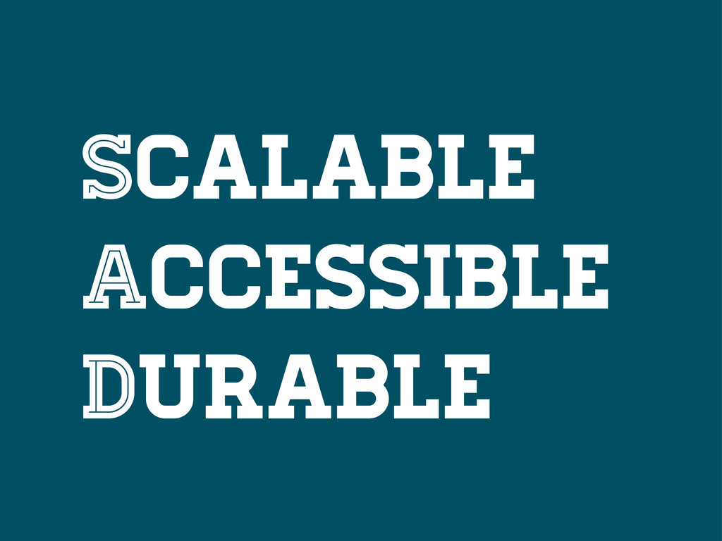
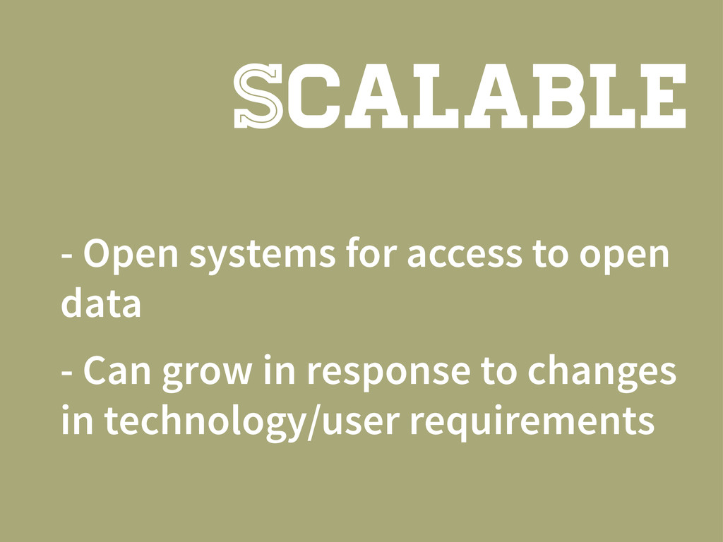
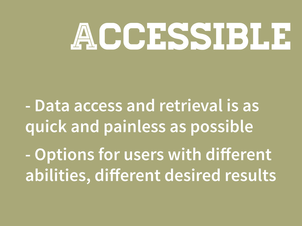
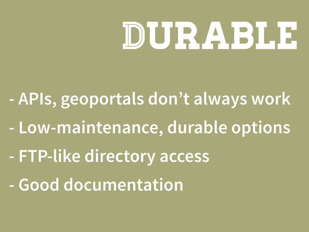
Strive to be SAD
SCALABLE Accessible Durable
- Open systems for access to open data - Can
grow in response to changes in technology/user requirements SCALABLE
- Data access and retrieval is as quick and painless
as possible - Options for users with different abilities, different desired results Accessible
- APIs, geoportals don’t always work - Low-maintenance, durable options
- FTP-like directory access - Good documentation DURABLE
San Francisco, CA
[email protected]
@hrwgc
![[email protected] @hrwgc](https://files.speakerdeck.com/presentations/0b0673607f9c01301b3c22000a8c4174/slide_70.jpg)