Raechel Bianchetti, Michigan State University
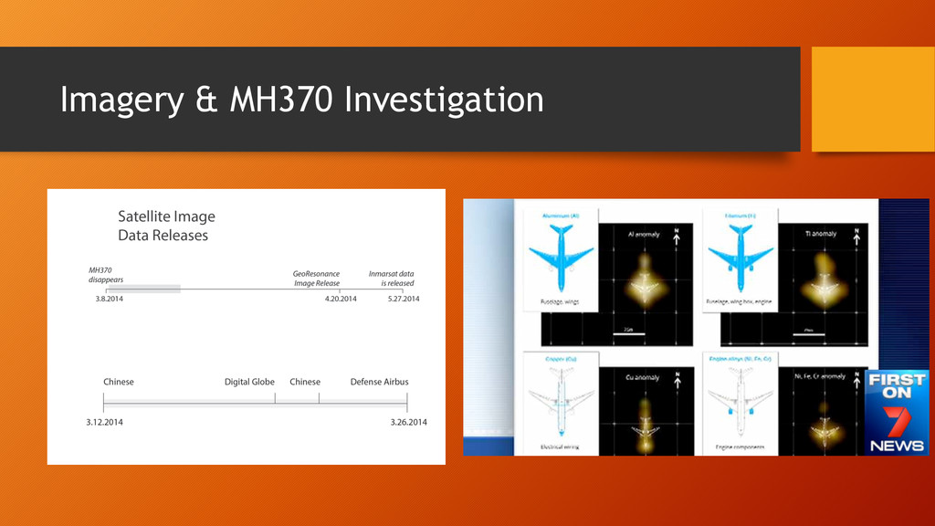
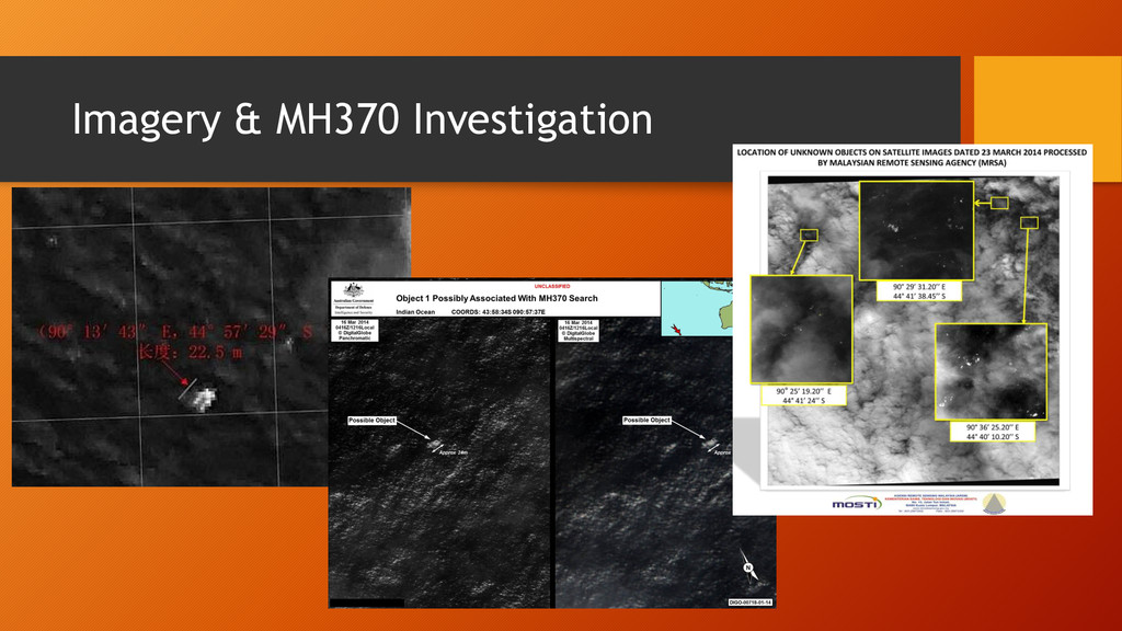
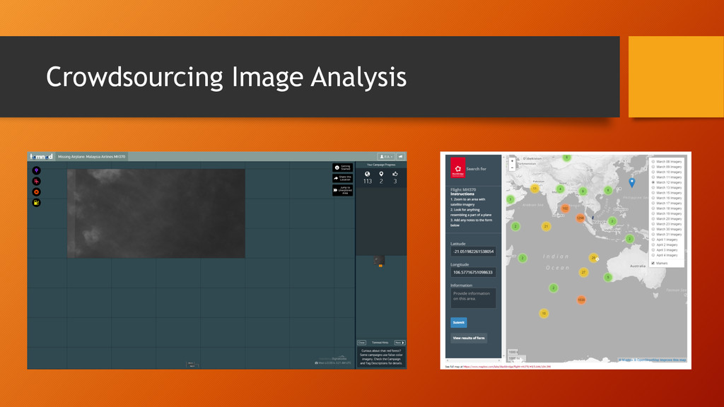
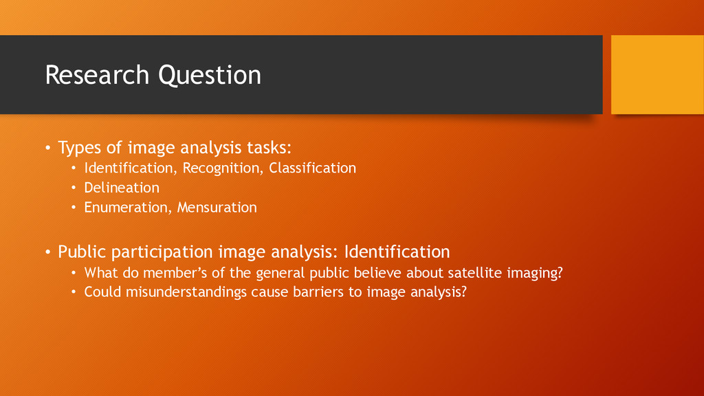
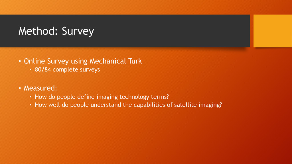
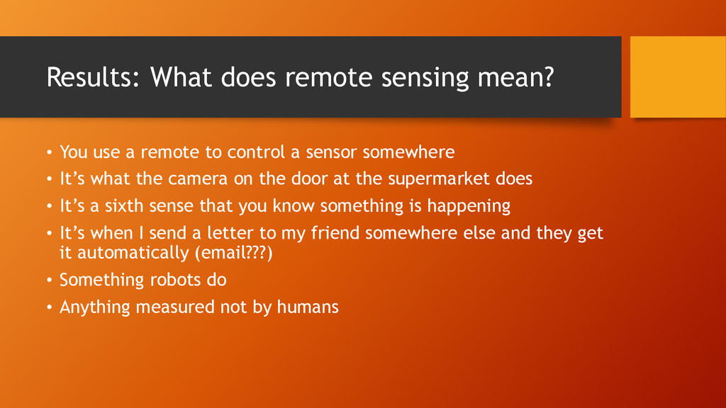
Remote sensing images are available to the general public through media outlets, navigational tools, and other tools. Novice users are asked to complete increasingly complex tasks with images. User conceptions have implications for their ability to understand scenes, both in isolation and as base maps. After the disappearance of Malaysian Airlines Flight MH370, novices began voicing their opinions regarding the use of satellite imagery in the search. Novices also assisted in the search of wreckage by TomNod, a well-established program for crowd-sourcing image analysis tasks. The conceptions that TomNod users, and novice users in general, have has important implications on their analysis results. To assess current novice understanding of remote sensing two methods were used. First, a survey was conducted of novices concerning their understanding of remote sensing. Second, news site comments, regarding MH370, were also mined. Here we present results from these sources and framework for a larger study.