Upgrade to Pro — share decks privately, control downloads, hide ads and more …

Projection Wizard: Map Projection Selection Tool

Projection Wizard: Map Projection Selection Tool

Bojan Šavrič
Bernhard Jenny
Helen Jenny
Oregon State University
Cartography & Geovisualization Group
NACIS PCD Pittsburgh 2014

projectionwizard.org

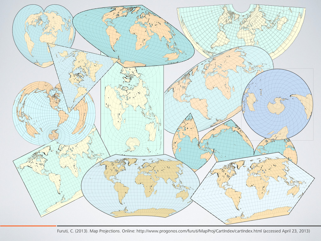
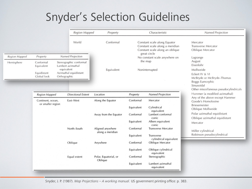
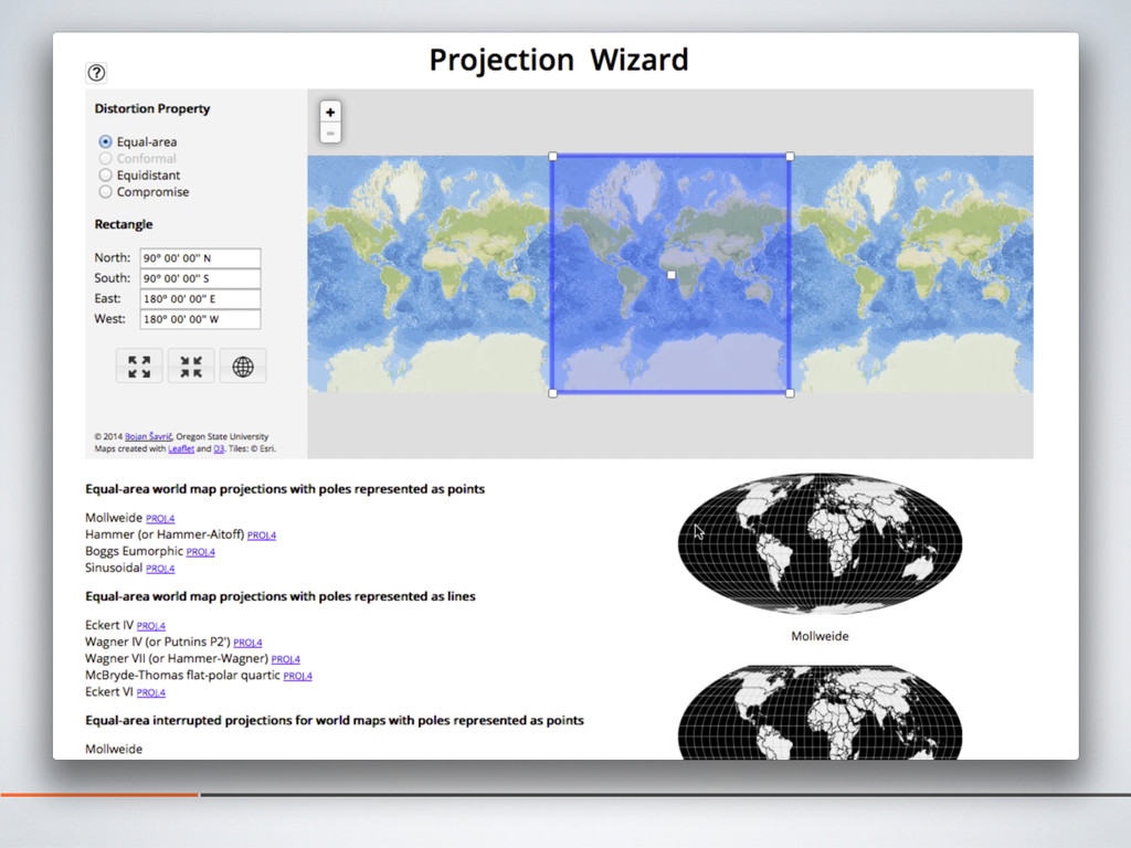
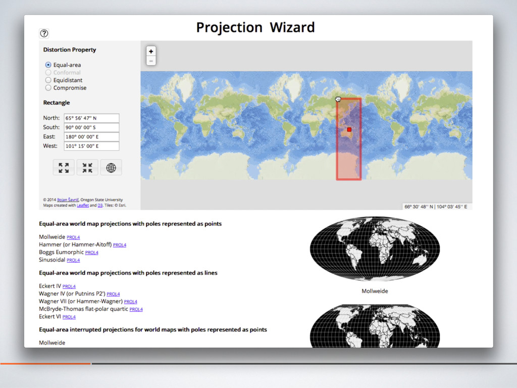
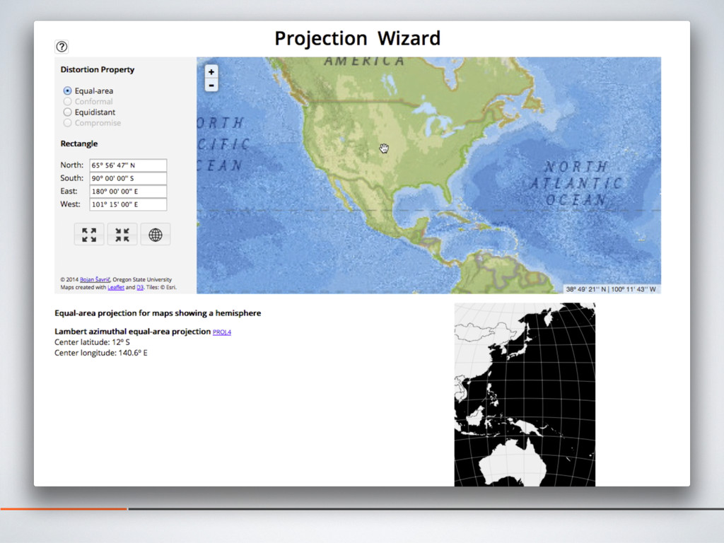
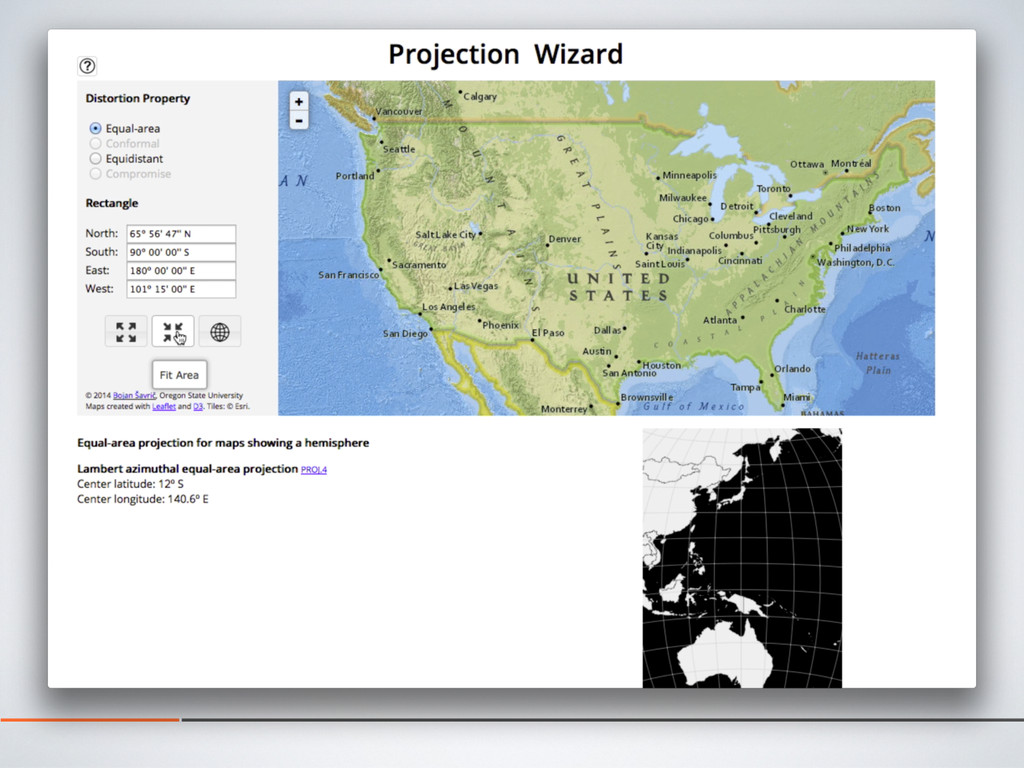
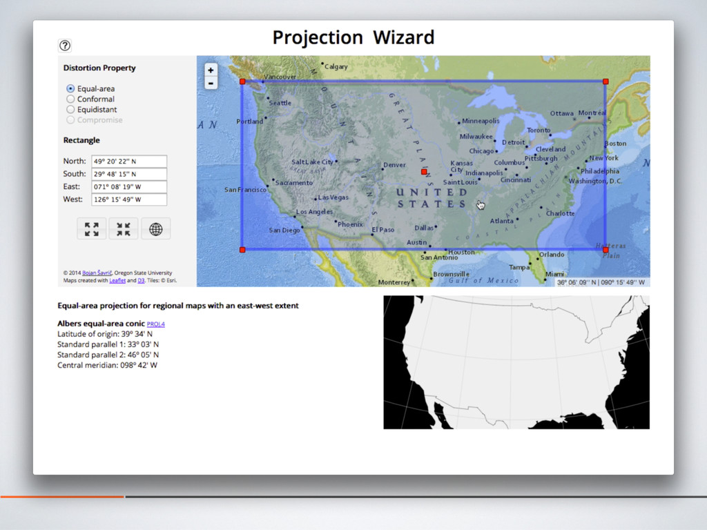
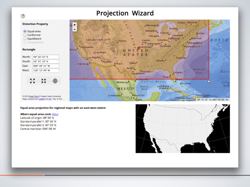
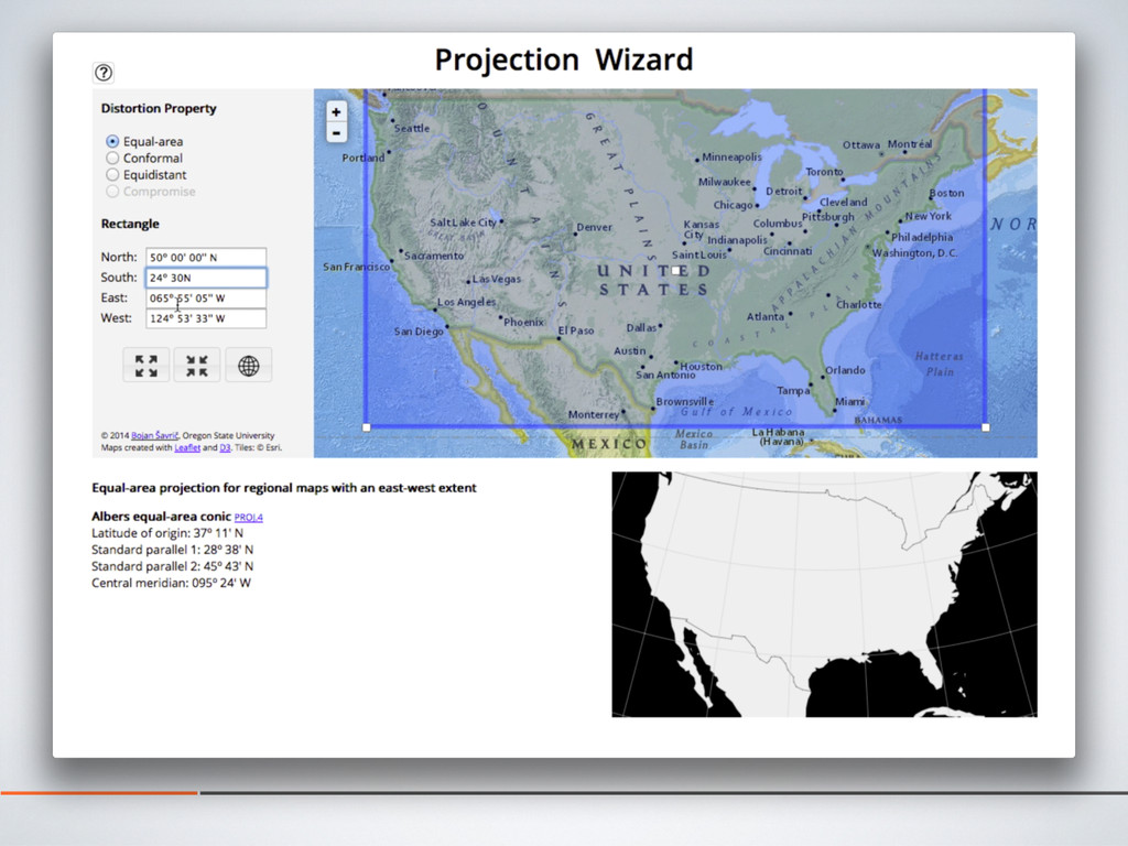
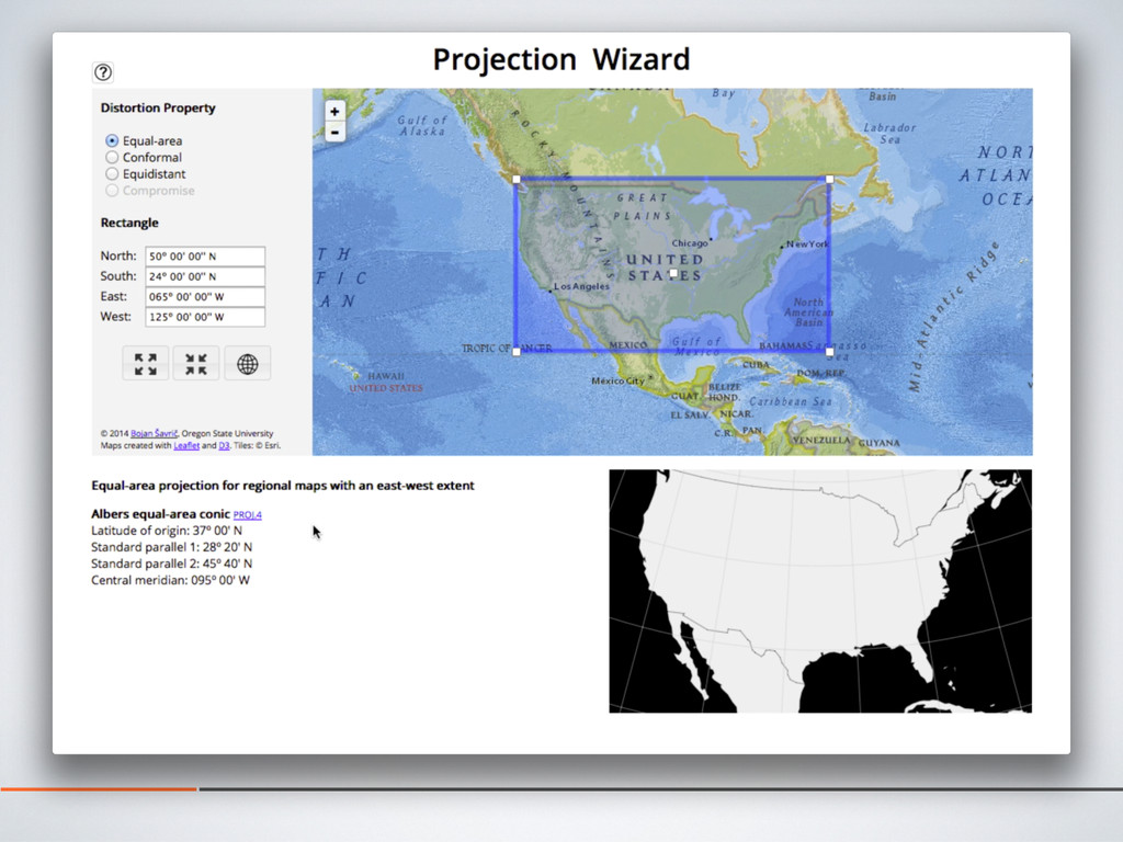
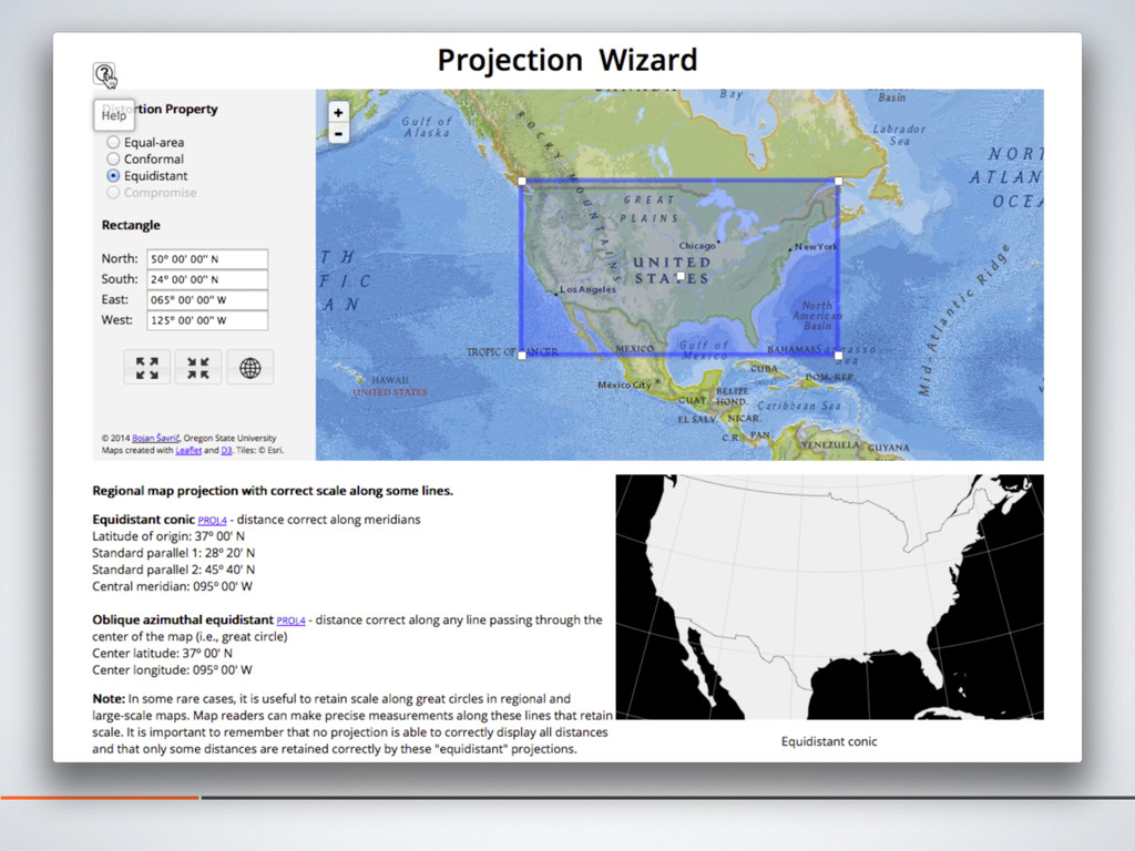
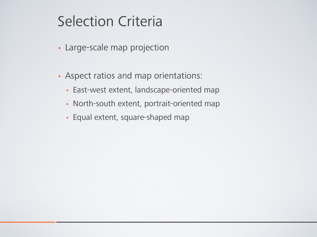
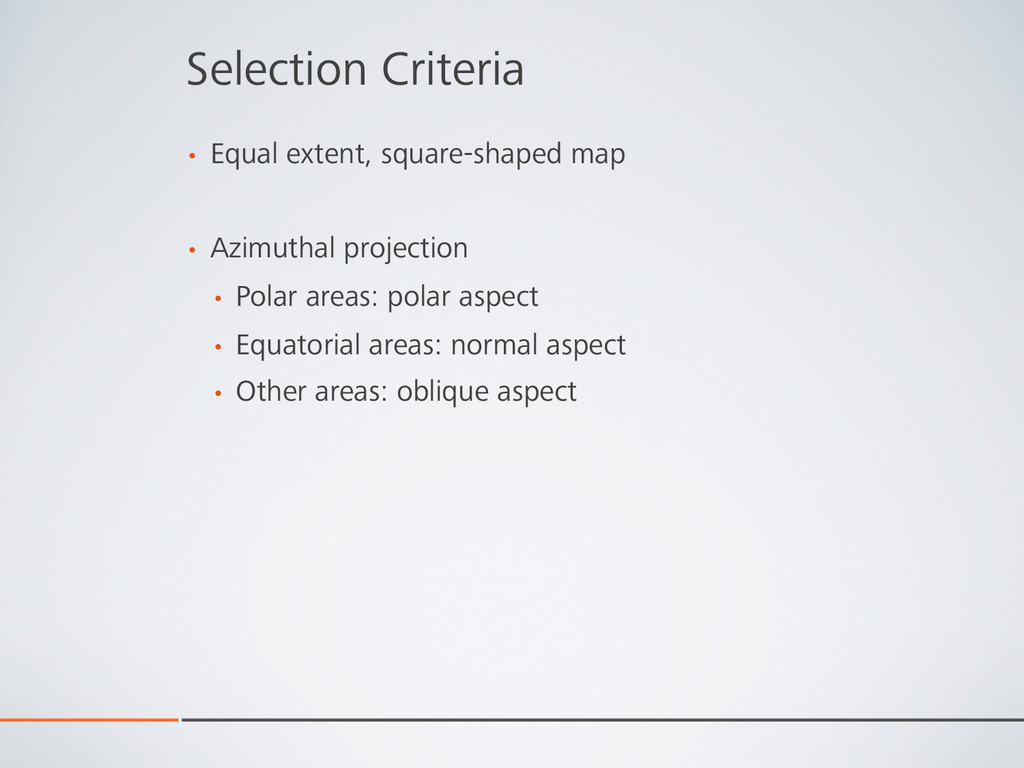
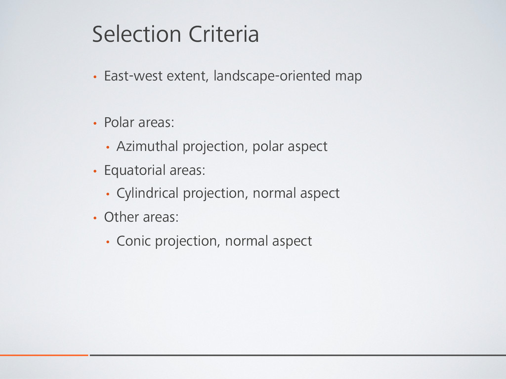
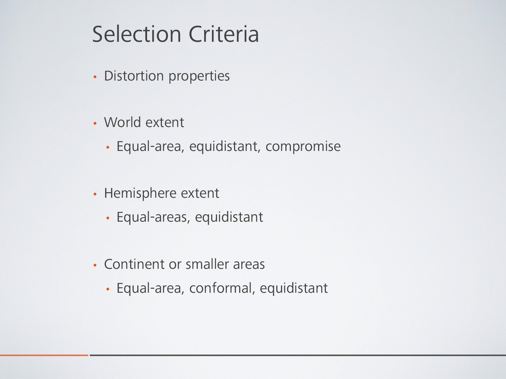
The selection criteria for map projections are a mystery to most GIS users. Map projections ought to be selected based on the map's geographic extent and the required distortion properties. This presentation will introduce the Map Projection Selection Tool, a web based tool that facilitates the selection of a projection. The user can select a map's geographic extent by adjusting the rectangular border on a web map or by entering the extent's geographic coordinate boundaries into the user interface. Based on the selected distortion property, the application returns a proposed projection, along with the projection parameters and, if applicable, a PROJ.4 library code. Leaflet open-source JavaScript library and National Geographic Basemap by Esri are used for the web map.

Nathaniel V. KELSO

October 08, 2014
Tweet

More Decks by Nathaniel V. KELSO

Other Decks in Design

Transcript

  1. Projection Wizard: Map Projection Selection Tool Bojan Šavrič Bernhard Jenny

    Helen Jenny NACIS PCD, Pittsburgh October 8, 2014
  2. Snyder’s Selection Guidelines Snyder, J. P. (1987). Map Projections –

    A working manual. US government printing office: p. 383.
  3. Selection Criteria •  Extent of the geographic area •  World,

    small-scale map •  Hemisphere, medium-scale map •  Continent or smaller areas, large-scale map
  4. Selection Criteria •  Large-scale map projection •  Aspect ratios and

    map orientations: •  East-west extent, landscape-oriented map •  North-south extent, portrait-oriented map •  Equal extent, square-shaped map
  5. Selection Criteria •  Equal extent, square-shaped map •  Azimuthal projection

    •  Polar areas: polar aspect •  Equatorial areas: normal aspect •  Other areas: oblique aspect
  6. Selection Criteria •  East-west extent, landscape-oriented map •  Polar areas:

    •  Azimuthal projection, polar aspect •  Equatorial areas: •  Cylindrical projection, normal aspect •  Other areas: •  Conic projection, normal aspect
  7. Selection Criteria •  Distortion properties •  World extent •  Equal-area,

    equidistant, compromise •  Hemisphere extent •  Equal-areas, equidistant •  Continent or smaller areas •  Equal-area, conformal, equidistant
  8. Credits •  Leaflet (web map) •  National Geographic, Esri, etc.

    (web map tiles) •  Leaflet.draw plugin (modified) •  D3 (preview map) •  jQuery (user interface)