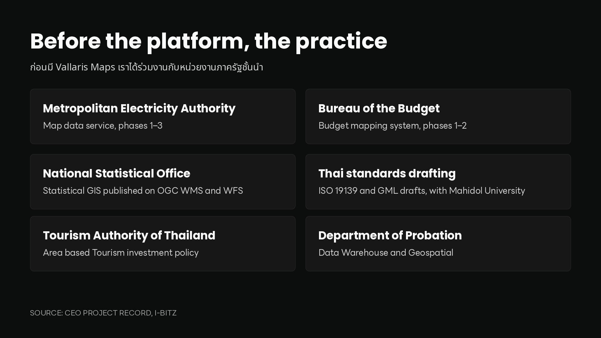
นน Metropolitan Electricity Authority Bureau of the Budget Map data service, phases 1–3 Budget mapping system, phases 1–2 National Statistical Office Thai standards drafting Statistical GIS published on OGC WMS and WFS ISO 19139 and GML drafts, with Mahidol University Tourism Authority of Thailand Department of Probation Area based Tourism investment policy Data Warehouse and Geospatial ำ ชั้ SOURCE: CEO PROJECT RECORD, I-BITZ
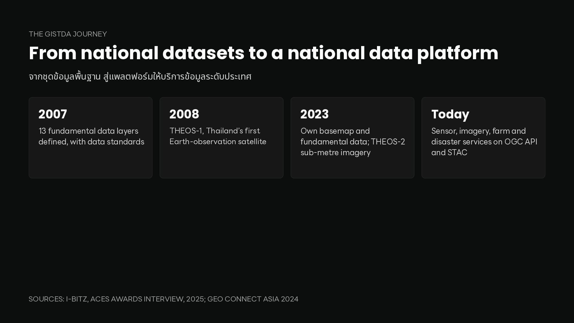
platform จากชุดข้อมูล นฐาน สูแ ่ พลตฟอร์มให้บริการข้อมูลระดับประเทศ 2007 2008 2023 Today 13 fundamental data layers defined, with data standards THEOS-1, Thailand’s first Earth-observation satellite Own basemap and fundamental data; THEOS-2 sub-metre imagery Sensor, imagery, farm and disaster services on OGC API and STAC พื้ SOURCES: I-BITZ, ACES AWARDS INTERVIEW, 2025; GEO CONNECT ASIA 2024
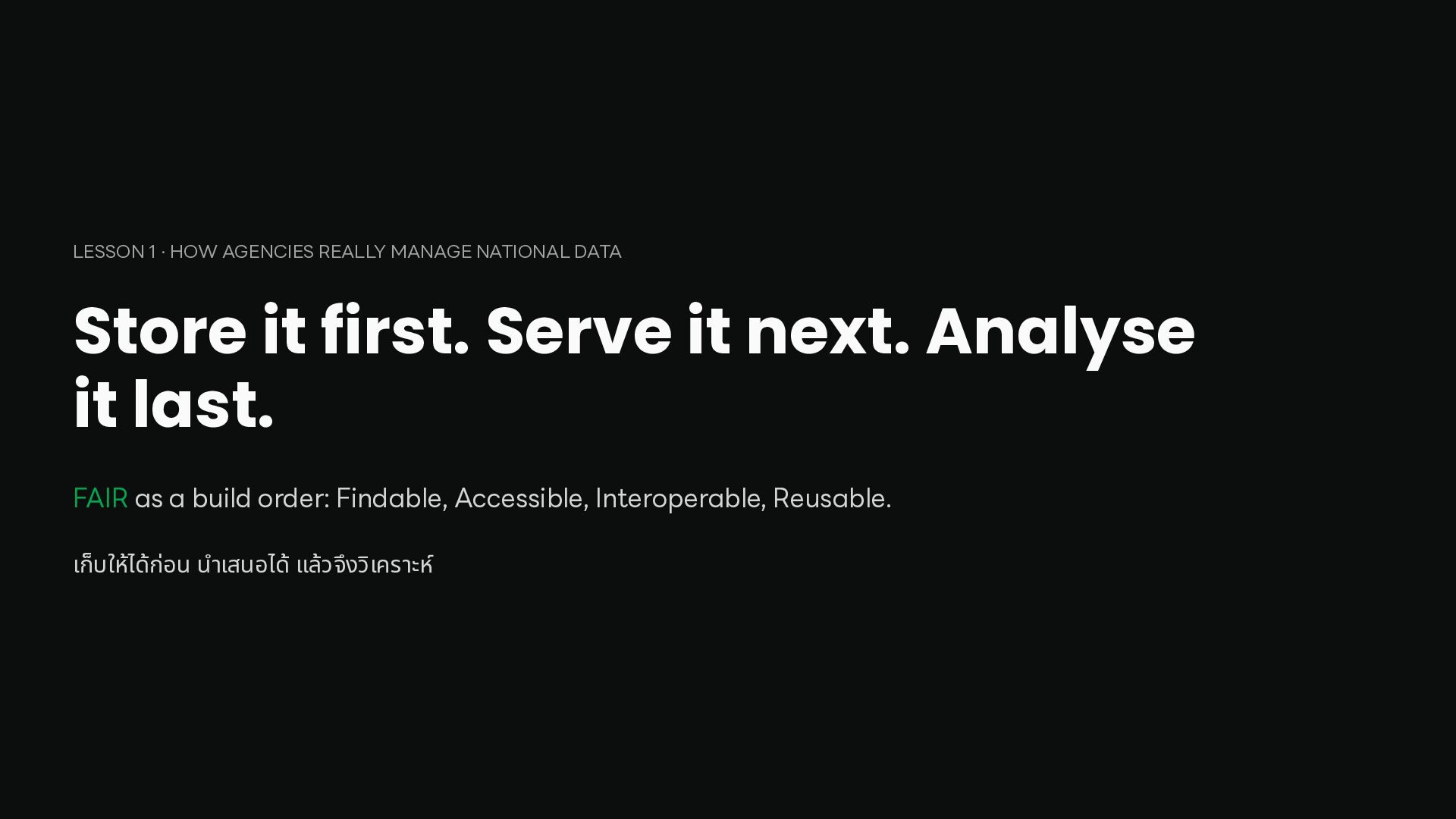
it first. Serve it next. Analyse it last. FAIR as a build order: Findable, Accessible, Interoperable, Reusable. ำ เก็บให้ได้ก่อน น เสนอได้ แล้วจึงวิเคราะห์
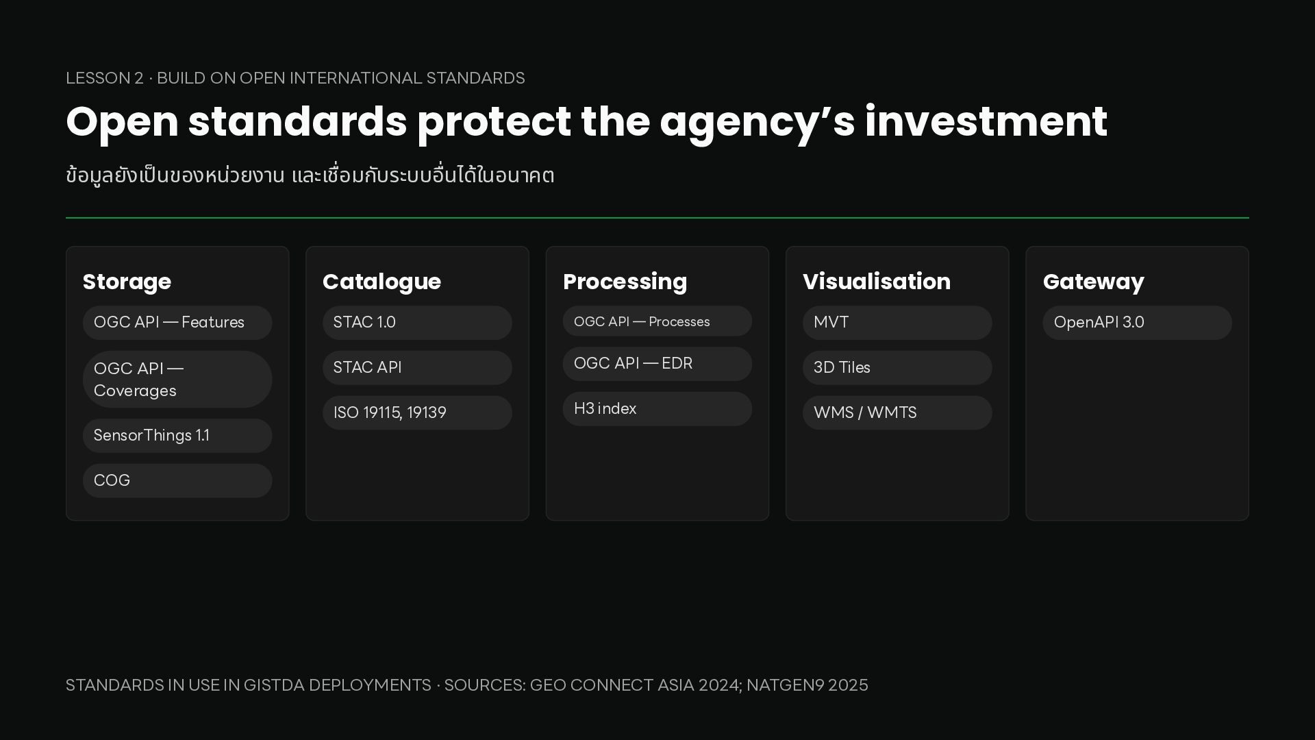
protect the agency’s investment ข้อมูลยังเ นของหน่วยงาน และเ อมกับระบบ นได้ในอนาคต Storage Catalogue Processing Visualisation OGC API — Features STAC 1.0 OGC API — Processes MVT OGC API — Coverages STAC API OGC API — EDR 3D Tiles ISO 19115, 19139 H3 index WMS / WMTS SensorThings 1.1 COG อื่ ชื่ ป็ STANDARDS IN USE IN GISTDA DEPLOYMENTS · SOURCES: GEO CONNECT ASIA 2024; NATGEN9 2025 Gateway OpenAPI 3.0
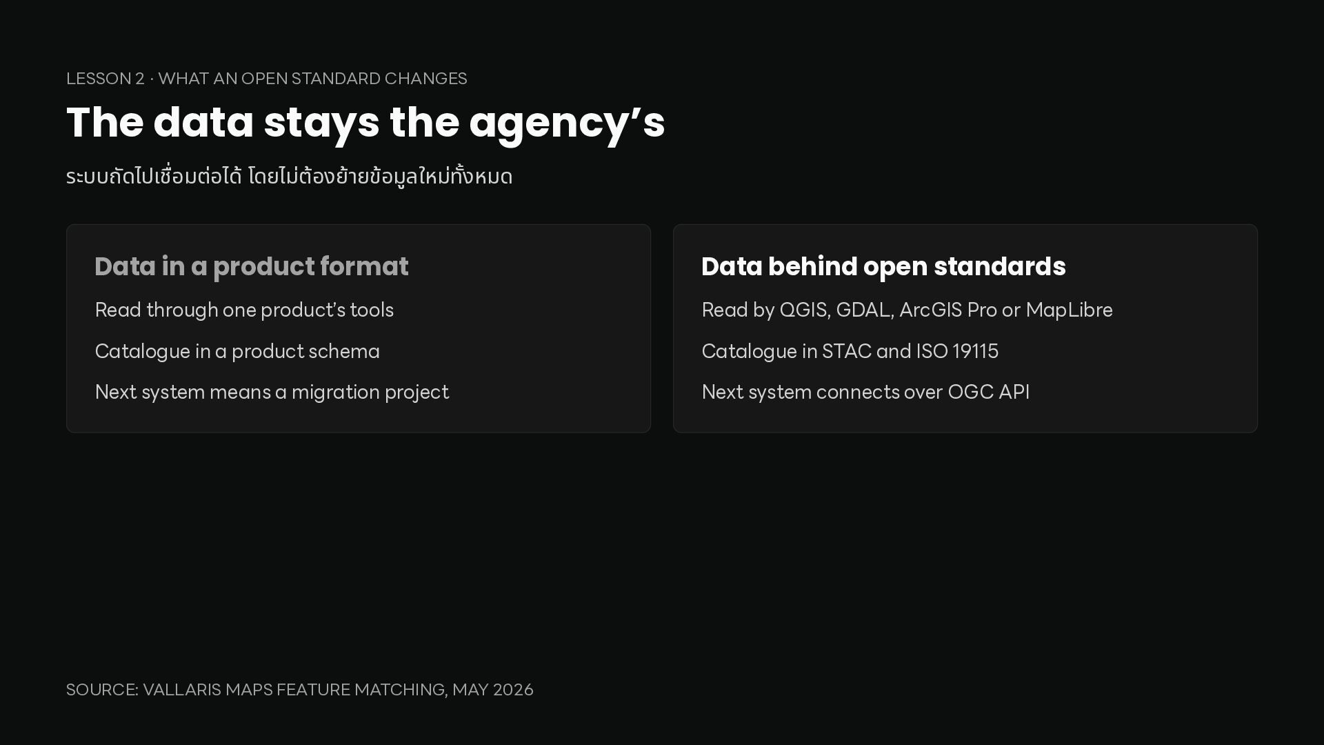
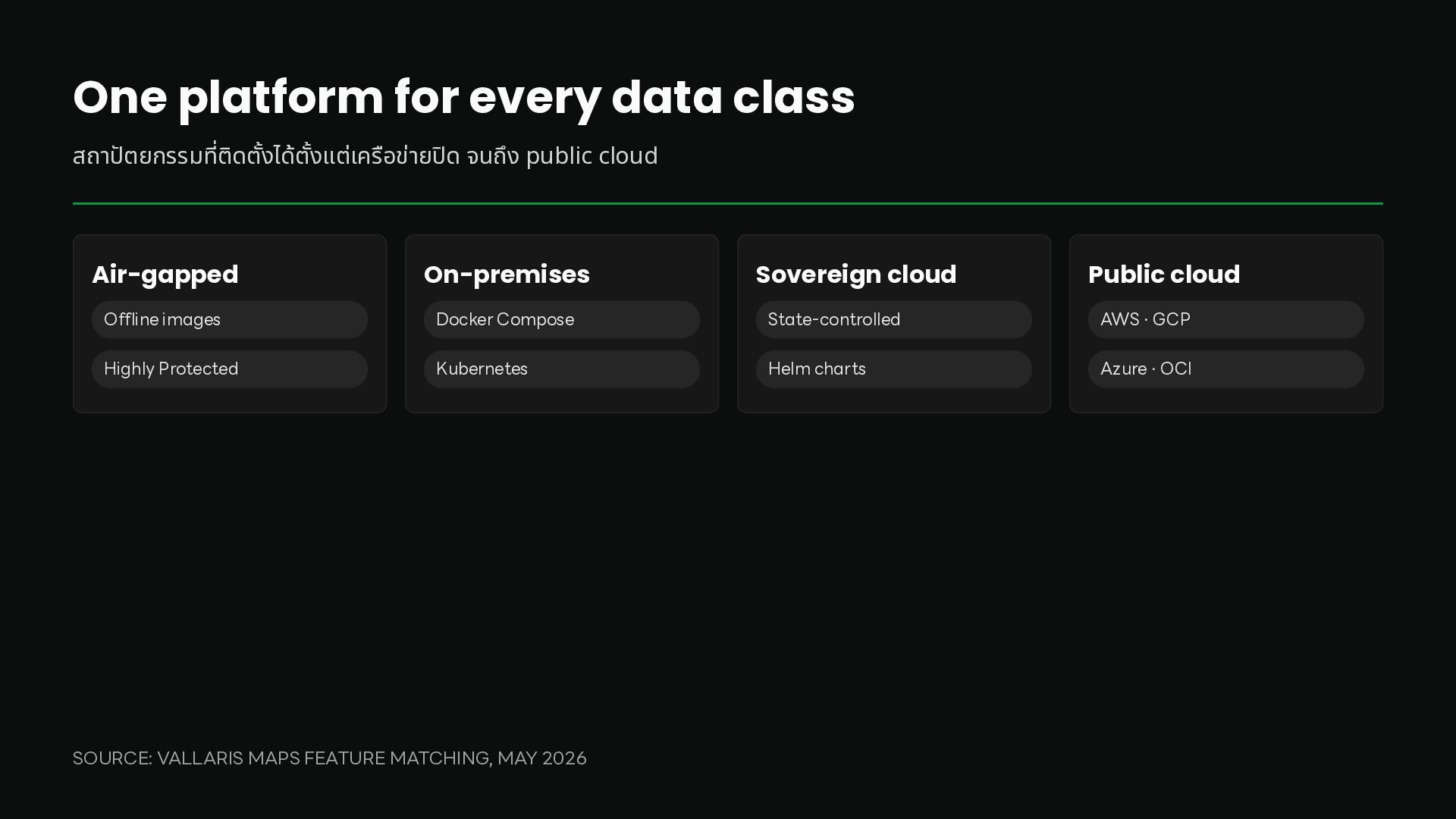
stays the agency’s ระบบถัดไปเ อมต่อได้ โดยไม่ต้องย้ายข้อมูลใหม่ งหมด Data in a product format Data behind open standards Read through one product’s tools Read by QGIS, GDAL, ArcGIS Pro or MapLibre Catalogue in a product schema Catalogue in STAC and ISO 19115 Next system means a migration project Next system connects over OGC API ทั้ ชื่ SOURCE: VALLARIS MAPS FEATURE MATCHING, MAY 2026
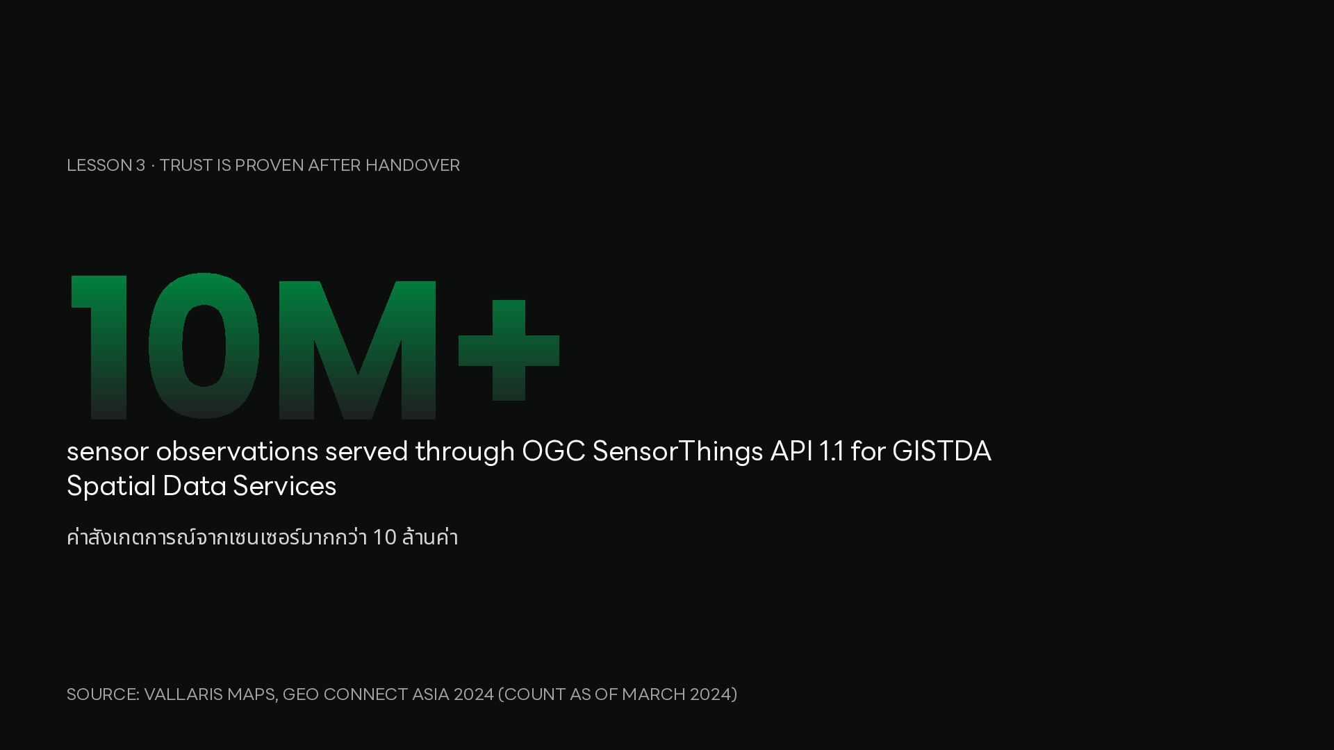
observations served through OGC SensorThings API 1.1 for GISTDA Spatial Data Services ค่าสังเกตการณ์จากเซนเซอร์มากกว่า 10 ล้านค่า SOURCE: VALLARIS MAPS, GEO CONNECT ASIA 2024 (COUNT AS OF MARCH 2024)
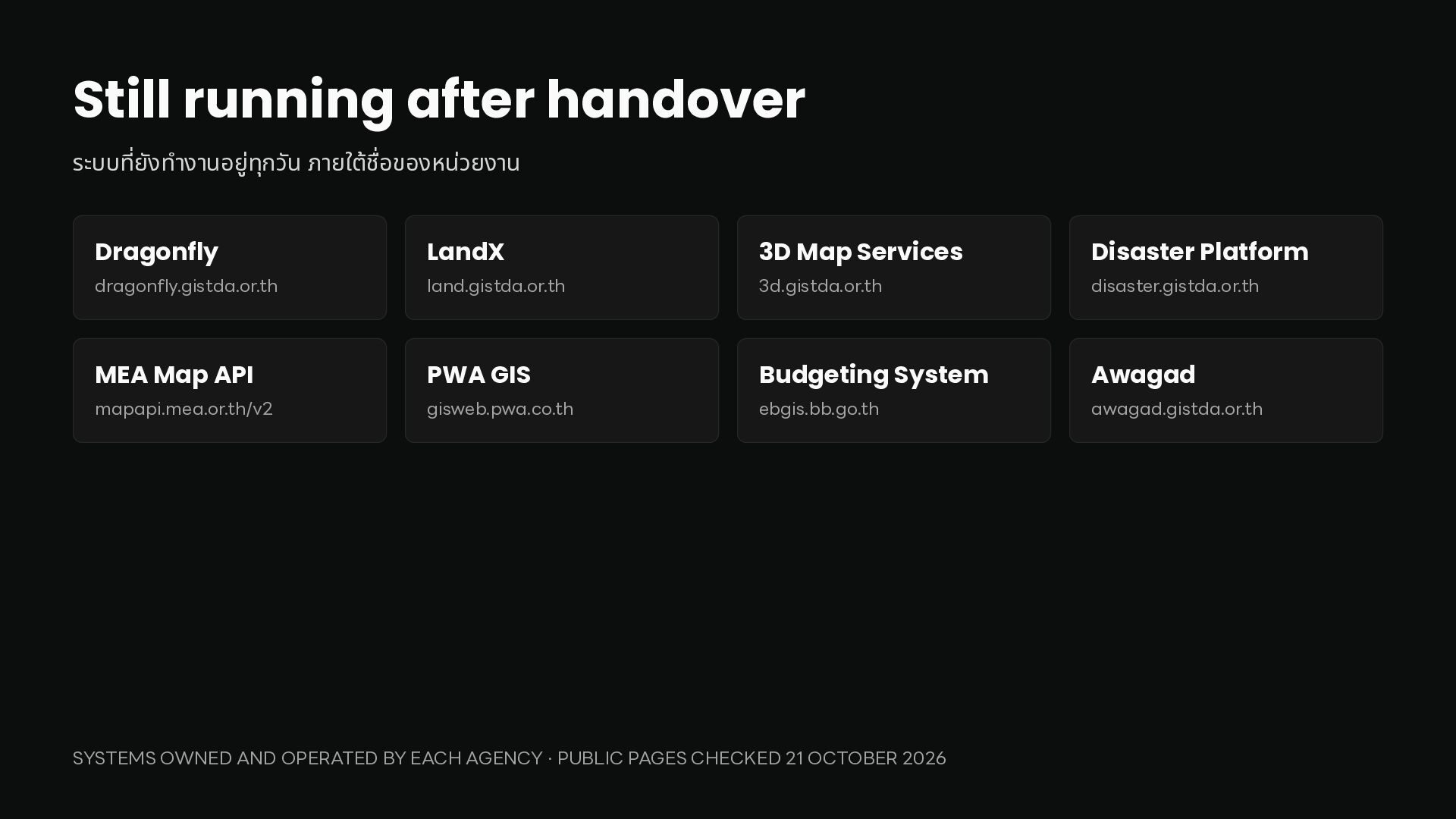
วัน ภายใต้ อของหน่วยงาน Dragonfly LandX 3D Map Services Disaster Platform dragonfly.gistda.or.th land.gistda.or.th 3d.gistda.or.th disaster.gistda.or.th MEA Map API PWA GIS Budgeting System Awagad mapapi.mea.or.th/v2 gisweb.pwa.co.th ebgis.bb.go.th awagad.gistda.or.th ชื่ ำ ที่ SYSTEMS OWNED AND OPERATED BY EACH AGENCY · PUBLIC PAGES CHECKED 21 OCTOBER 2026
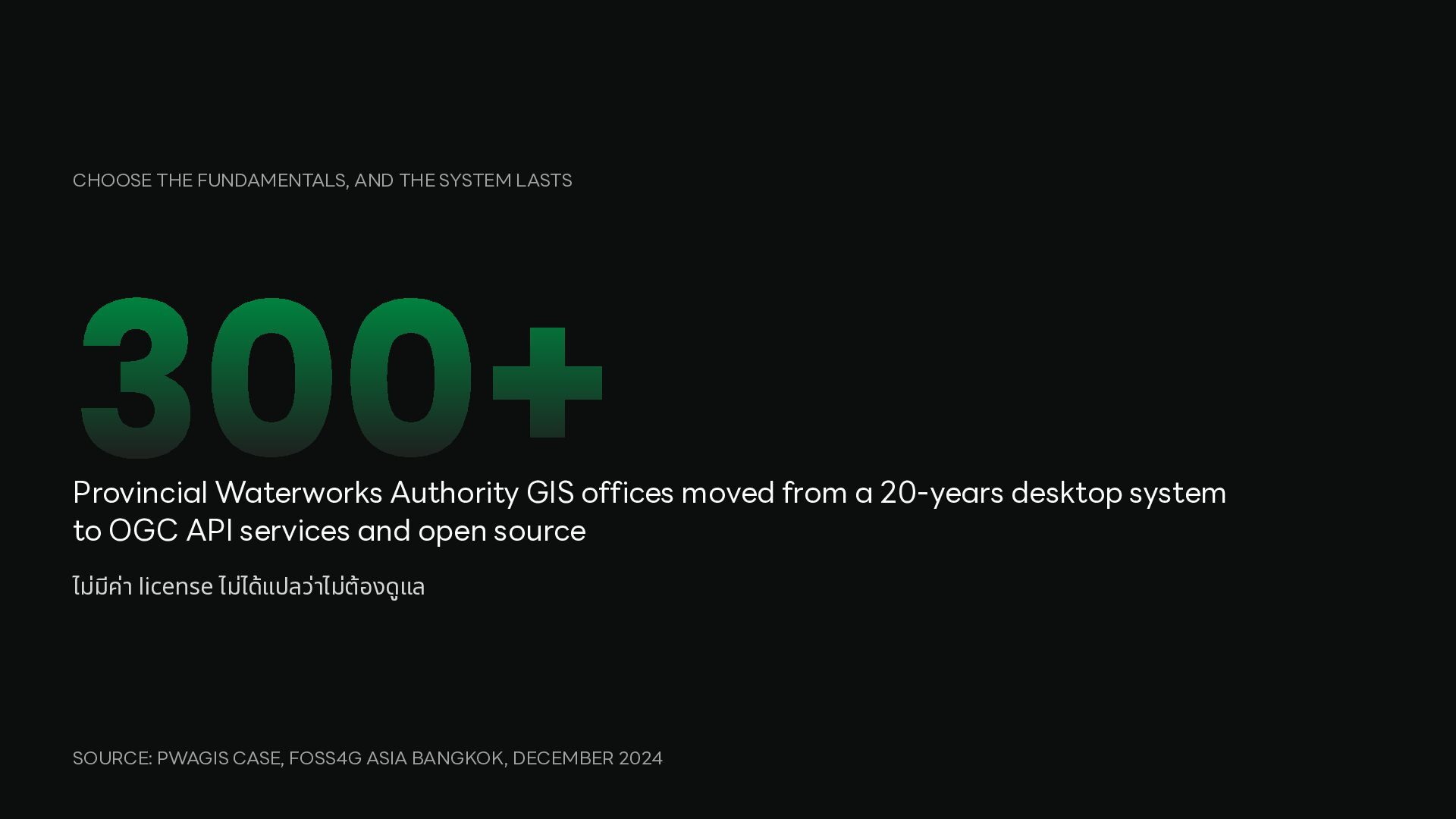
Authority GIS offices moved from a 20-years desktop system to OGC API services and open source ไม่มค ี ่า license ไม่ได้แปลว่าไม่ต้องดูแล SOURCE: PWAGIS CASE, FOSS4G ASIA BANGKOK, DECEMBER 2024
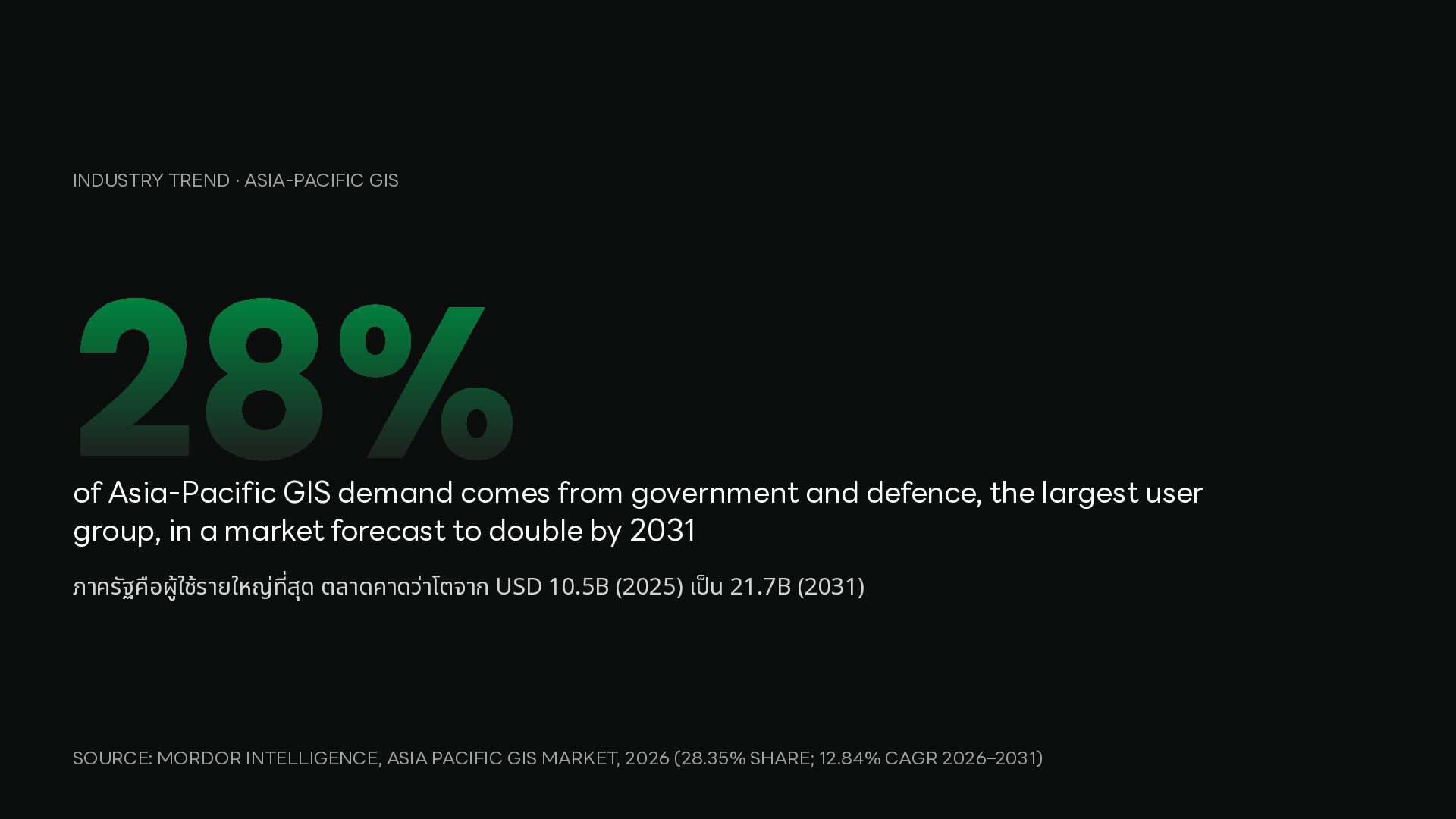
comes from government and defence, the largest user group, in a market forecast to double by 2031 ภาครัฐคือผูใ้ ช้รายใหญ่ สุด ตลาดคาดว่าโตจาก USD 10.5B (2025) เ น 21.7B (2031) ป็ ที่ SOURCE: MORDOR INTELLIGENCE, ASIA PACIFIC GIS MARKET, 2026 (28.35% SHARE; 12.84% CAGR 2026–2031)
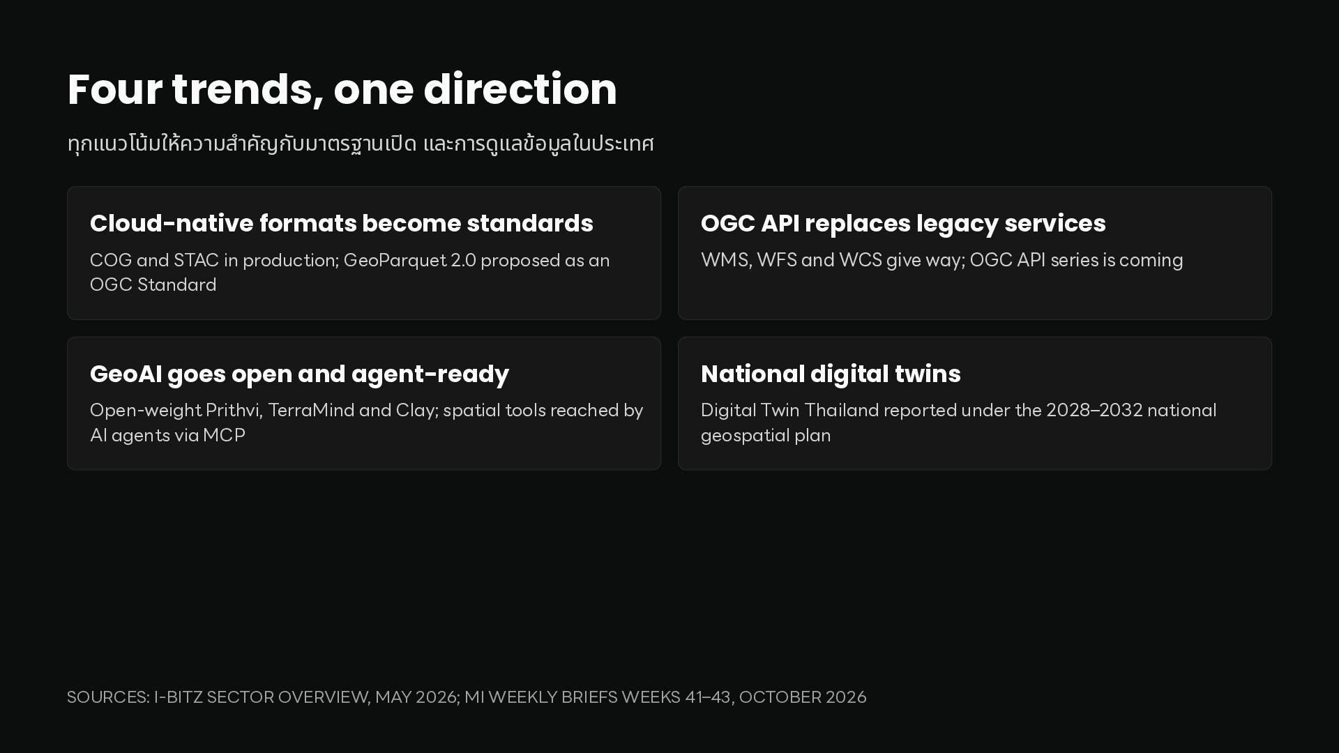
become standards OGC API replaces legacy services COG and STAC in production; GeoParquet 2.0 proposed as an OGC Standard WMS, WFS and WCS give way; OGC API series is coming GeoAI goes open and agent-ready National digital twins Open-weight Prithvi, TerraMind and Clay; spatial tools reached by AI agents via MCP Digital Twin Thailand reported under the 2028–2032 national geospatial plan ปิ ำ SOURCES: I-BITZ SECTOR OVERVIEW, MAY 2026; MI WEEKLY BRIEFS WEEKS 41–43, OCTOBER 2026
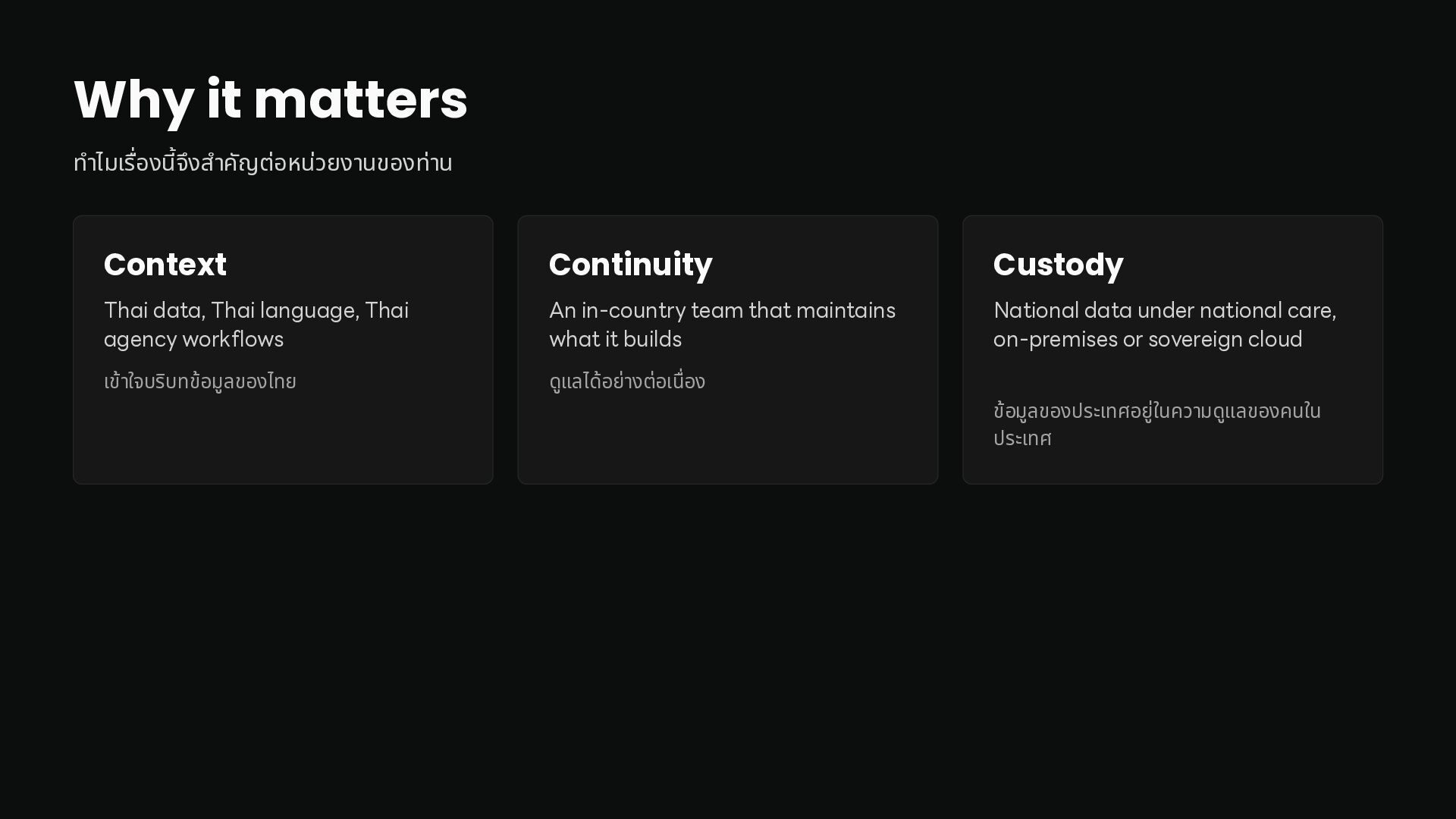
agency workflows An in-country team that maintains what it builds National data under national care, on-premises or sovereign cloud เข้าใจบริบทข้อมูลของไทย ดูแลได้อย่างต่อเ อง ำ Context นื่ นี้ รื่ ำ ท ไมเ อง จึงส คัญต่อหน่วยงานของท่าน ข้อมูลของประเทศอยูใ่ นความดูแลของคนใน ประเทศ
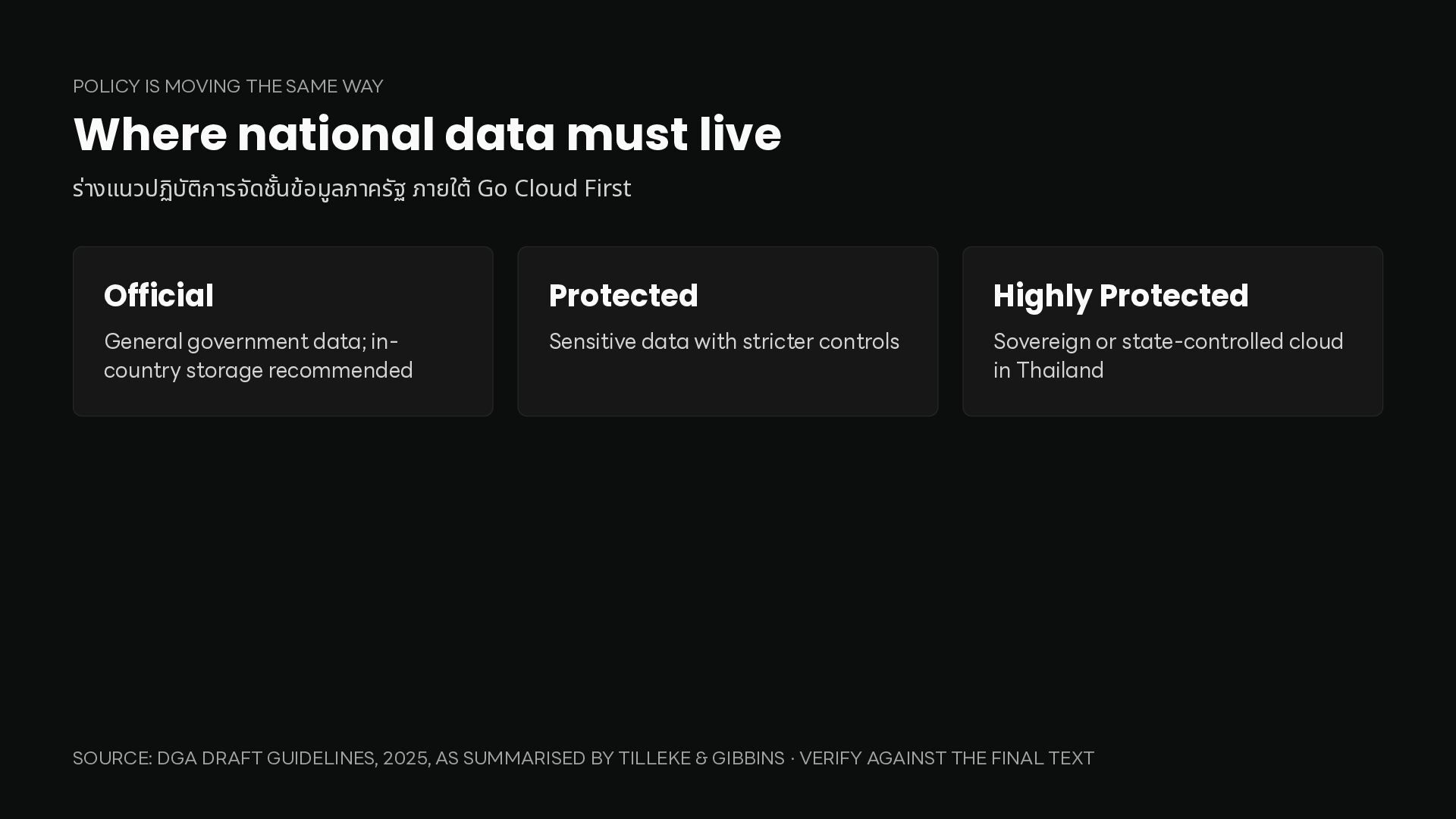
live ร่างแนวปฏิบต ั ิการจัด นข้อมูลภาครัฐ ภายใต้ Go Cloud First Official Protected Highly Protected General government data; incountry storage recommended Sensitive data with stricter controls Sovereign or state-controlled cloud in Thailand ชั้ SOURCE: DGA DRAFT GUIDELINES, 2025, AS SUMMARISED BY TILLEKE & GIBBINS · VERIFY AGAINST THE FINAL TEXT
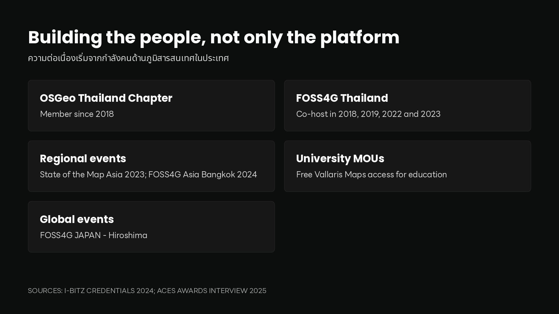
ลังคนด้านภูมส ิ ารสนเทศในประเทศ OSGeo Thailand Chapter FOSS4G Thailand Member since 2018 Co-host in 2018, 2019, 2022 and 2023 Regional events University MOUs State of the Map Asia 2023; FOSS4G Asia Bangkok 2024 Free Vallaris Maps access for education Global events FOSS4G JAPAN - Hiroshima ำ ริ่ นื่ SOURCES: I-BITZ CREDENTIALS 2024; ACES AWARDS INTERVIEW 2025
would be glad to bring these twenty years to your team. หากหน่วยงานของท่านก ลังวางแผนลงทุนด้านข้อมูลเชิง น เรายินดีน ประสบการณ์ 20 ไปร่วมคิดกับทีมของท่าน นี้ ปี ำ ที่ พื้ ำ [email protected] · vallarismaps.com · +66 2278 7913


 prasong
 raspython3
 gogutan
 nealle
 stomk
 yama3133
 carta_engineering
 finengine
 akitoshiga
 yamad
 occhi
 odashi
 kash1064
 asonas
 reverentgeek
 morganepeng
 soudai
 keathley
 carmenintech
 sachag
 irinanazarova
 bluesmoon
 deanohume
 lara