Upgrade to Pro — share decks privately, control downloads, hide ads and more …

Christy Heaton - Plan your next eclipse viewing with Jupyter and geopandas

Christy Heaton - Plan your next eclipse viewing with Jupyter and geopandas

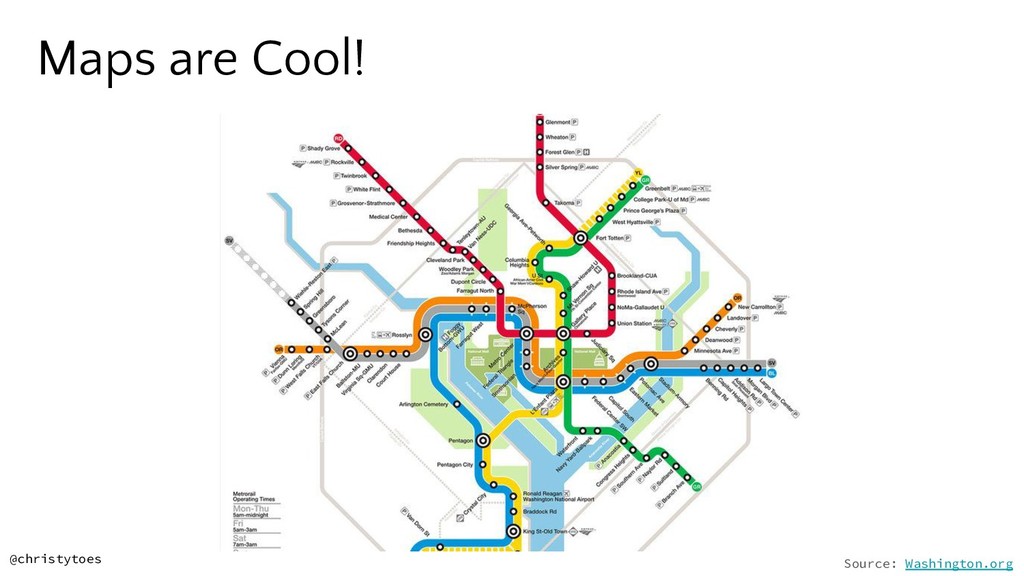
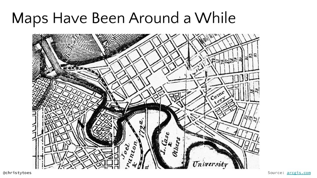
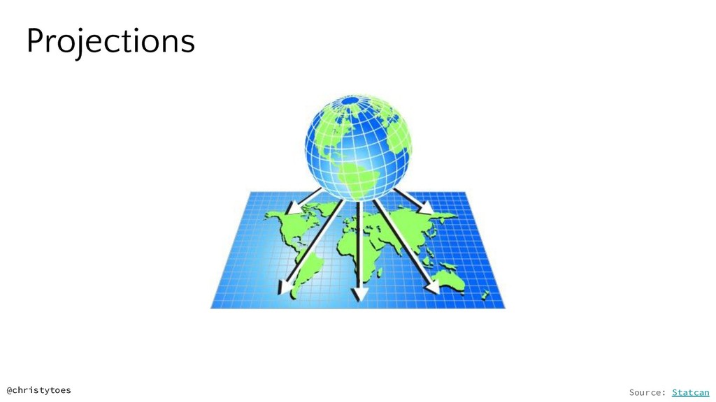
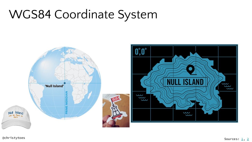
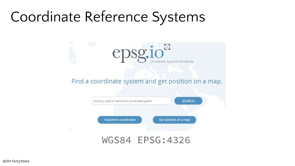
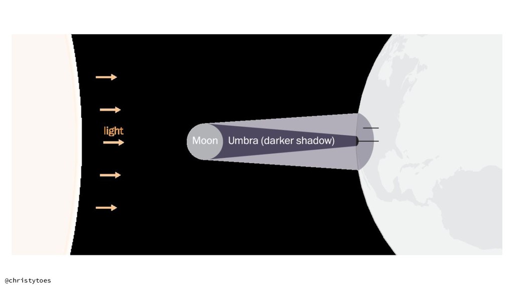
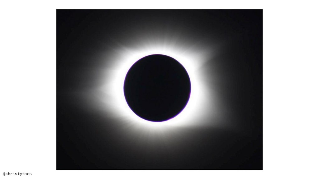
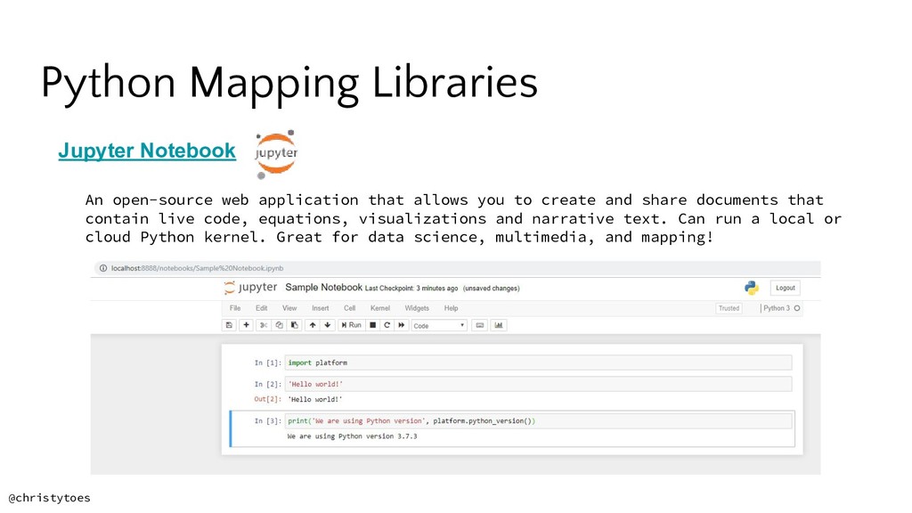
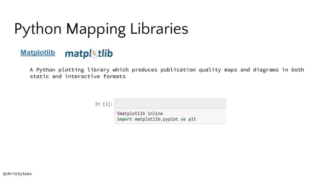
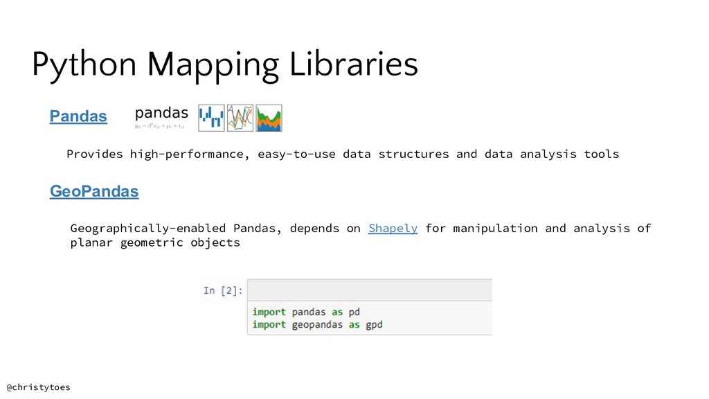
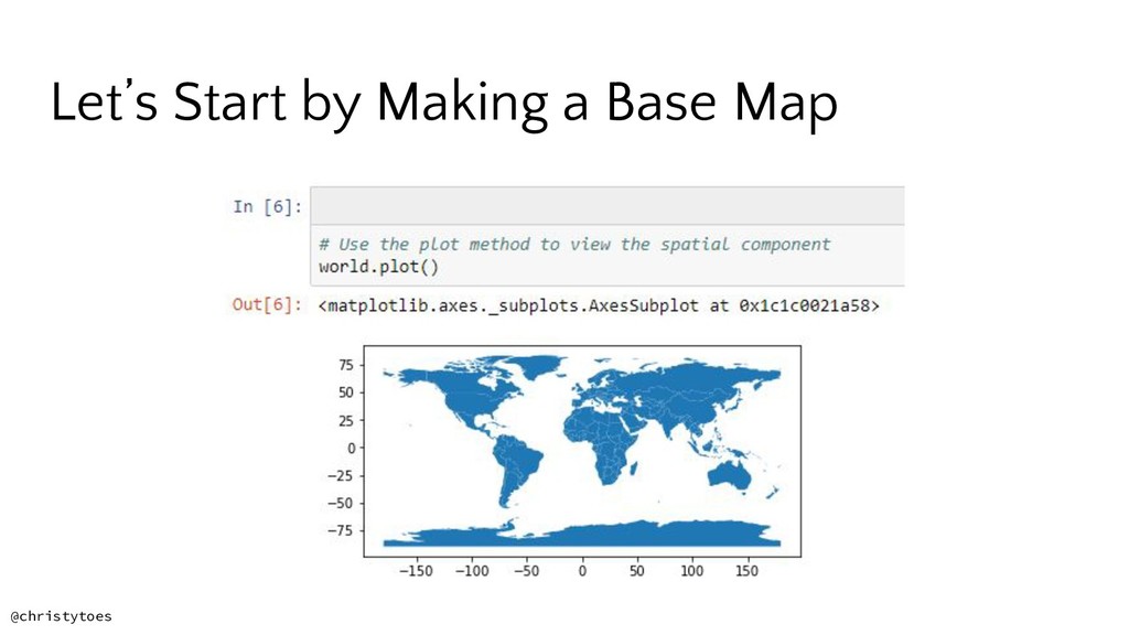
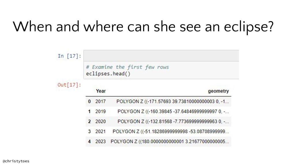
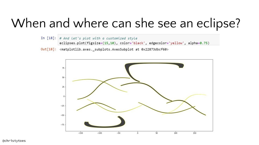
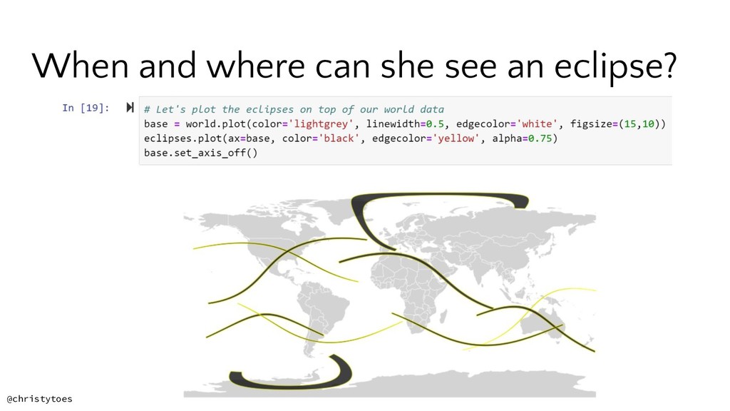
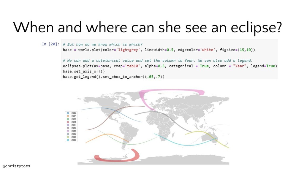
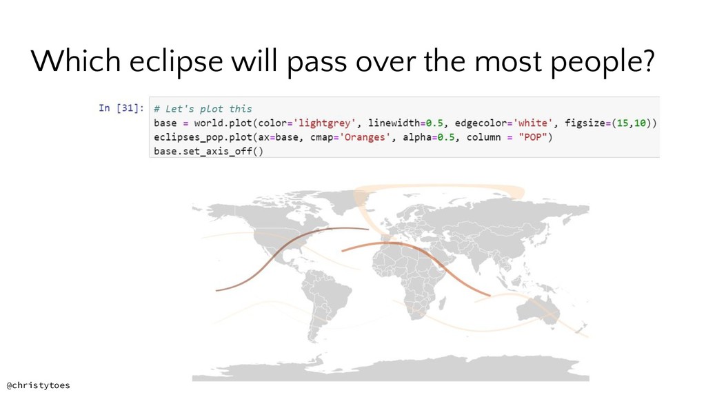
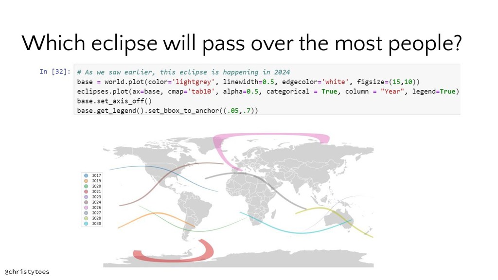
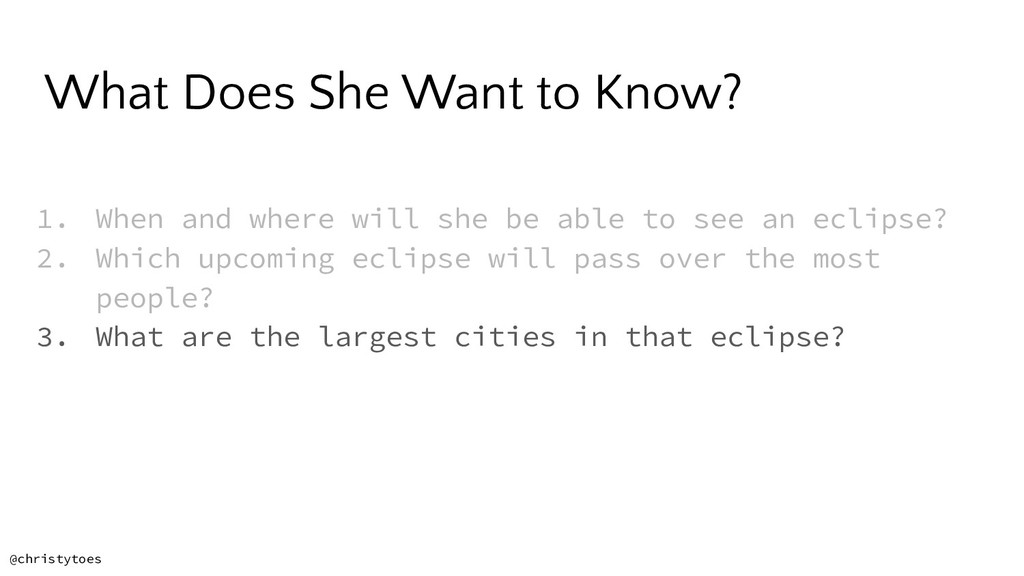
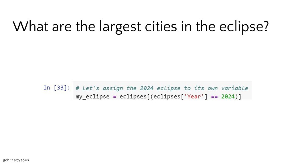
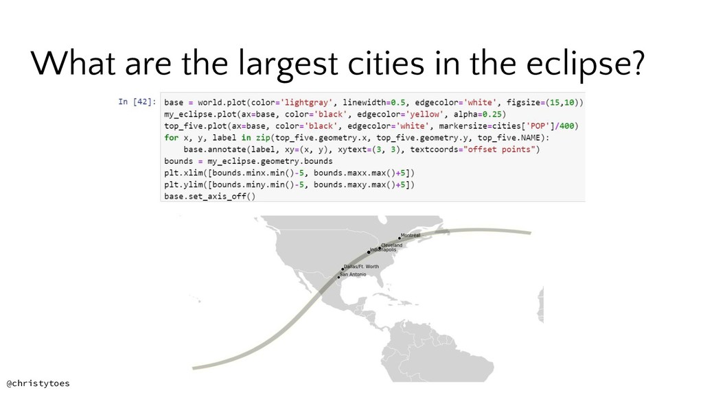
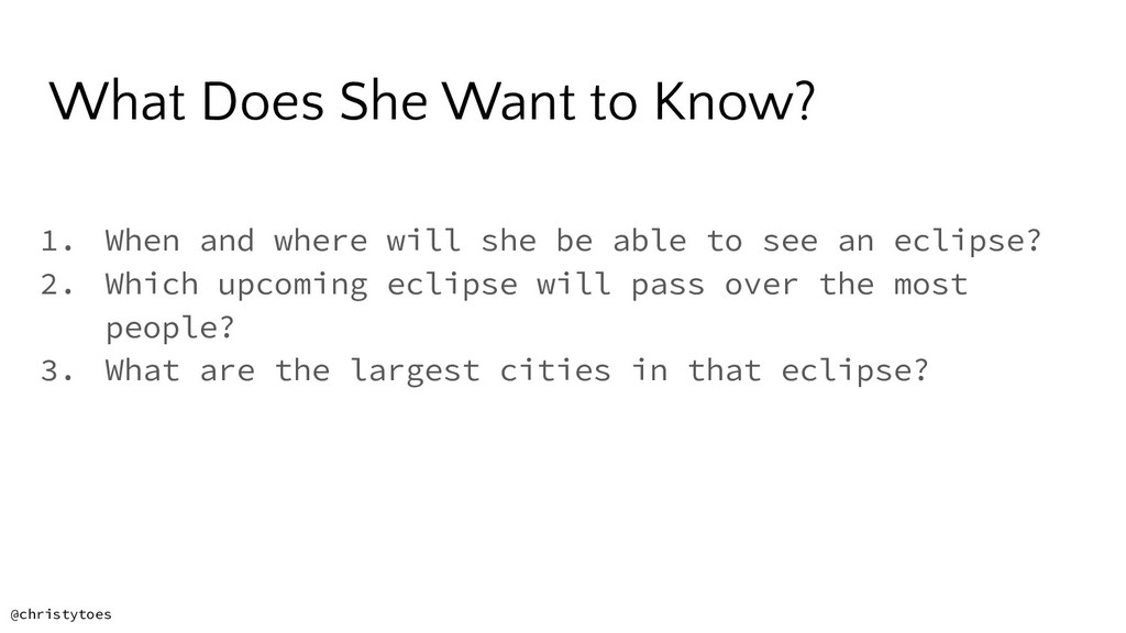
Maps are powerful tools that we use every day. Python is well-equipped to handle spatial data and with well documented robust libraries to help you perform spatial analysis and create beautiful maps. In this talk, we'll discover the fascinating world of spatial analysis by solving a fun problem: where can we go to see an upcoming solar eclipse? Along the way we'll learn about mapping topics like projections and coordinate systems, best practices for map making, and intricacies of spatial data.

https://us.pycon.org/2019/schedule/presentation/238/

PyCon 2019

May 03, 2019
Tweet

More Decks by PyCon 2019

Other Decks in Programming

Transcript

  1. • A system that allows you to visualize, question, analyze,

    and interpret data to understand spatial relationships, patterns, and trends What is GIS? @christytoes
  2. • A system that allows you to visualize, question, analyze,

    and interpret data to understand spatial relationships, patterns, and trends • Widely used in organizations of all sizes and in almost every industry What is GIS? @christytoes
  3. • A system that allows you to visualize, question, analyze,

    and interpret data to understand spatial relationships, patterns, and trends • Widely used in organizations of all sizes and in almost every industry • A mix of data, science, analysis, and maps What is GIS? @christytoes
  4. Distortion is Inevitable • Area • Angle • Shape •

    Distance • Direction @christytoes Source: Colormag
  5. • Latitude, Longitude • Used by GPS to express locations

    on the earth, and GeoJSON WGS84 Coordinate System Source: mymanatee Cleveland, OH 41.4993° N, 81.6944° W @christytoes
  6. What Does She Want to Know? 1. When and where

    will she be able to see an eclipse? 2. Which upcoming eclipse will pass over the most people? 3. What are the largest cities in that eclipse? @christytoes
  7. Python Mapping Libraries Jupyter Notebook An open-source web application that

    allows you to create and share documents that contain live code, equations, visualizations and narrative text. Can run a local or cloud Python kernel. Great for data science, multimedia, and mapping! @christytoes
  8. Python Mapping Libraries Matplotlib A Python plotting library which produces

    publication quality maps and diagrams in both static and interactive formats @christytoes
  9. Python Mapping Libraries Pandas Provides high-performance, easy-to-use data structures and

    data analysis tools GeoPandas Geographically-enabled Pandas, depends on Shapely for manipulation and analysis of planar geometric objects @christytoes
  10. Python Mapping Libraries Anaconda A Python distribution that comes with

    tons of data science libraries and has its own way of creating environments. Very handy! @christytoes
  11. What Does She Want to Know? 1. When and where

    will she be able to see an eclipse? @christytoes
  12. What Does She Want to Know? 1. When and where

    will she be able to see an eclipse? @christytoes
  13. What Does She Want to Know? 1. When and where

    will she be able to see an eclipse? 2. Which upcoming eclipse will pass over the most people? @christytoes
  14. What Does She Want to Know? 1. When and where

    will she be able to see an eclipse? 2. Which upcoming eclipse will pass over the most people? @christytoes
  15. What Does She Want to Know? 1. When and where

    will she be able to see an eclipse? 2. Which upcoming eclipse will pass over the most people? 3. What are the largest cities in that eclipse? @christytoes
  16. What Does She Want to Know? 1. When and where

    will she be able to see an eclipse? 2. Which upcoming eclipse will pass over the most people? 3. What are the largest cities in that eclipse? @christytoes
  17. I need to give the results to her in a

    format that she can use @christytoes