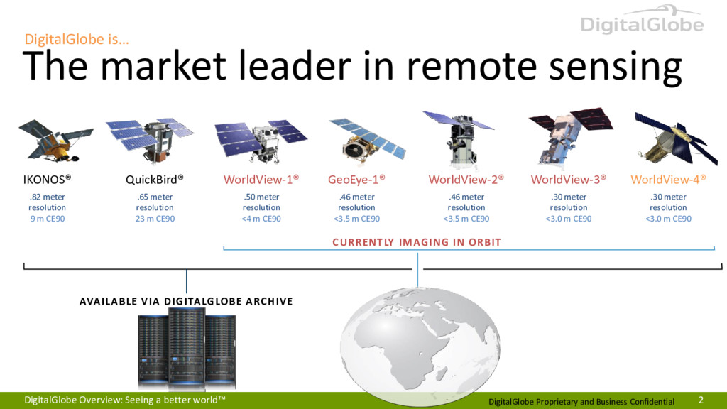
world™ 2 DigitalGlobe is… The market leader in remote sensing IKONOS® .82 meter resolution 9 m CE90 QuickBird® .65 meter resolution 23 m CE90 WorldView-4® .30 meter resolution <3.0 m CE90 WorldView-3® .30 meter resolution <3.0 m CE90 WorldView-2® .46 meter resolution <3.5 m CE90 GeoEye-1® .46 meter resolution <3.5 m CE90 WorldView-1® .50 meter resolution <4 m CE90 AVAILABLE VIA DIGITALGLOBE ARCHIVE CURRENTLY IMAGING IN ORBIT
imagery is available within hours of collection, online via the MyDigitalGlobe user interface or any OGC compatible software EVENT COVERAGE DigitalGlobe Image Library DigitalGlobe Cloud Services Offline Delivery Image Processing MyDigitalGlobe ESRI Software Google Earth Image Collection DigitalGlobe Geospatial data for major global crisis events
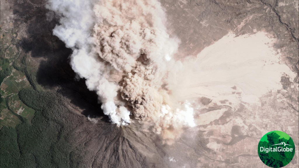
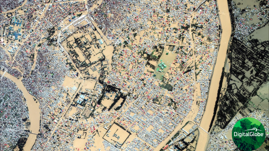
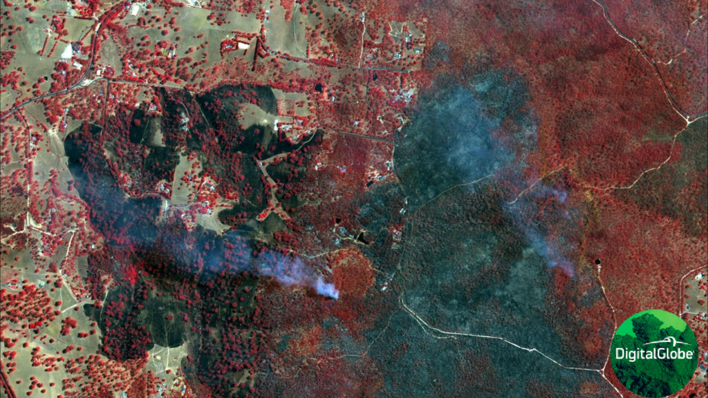
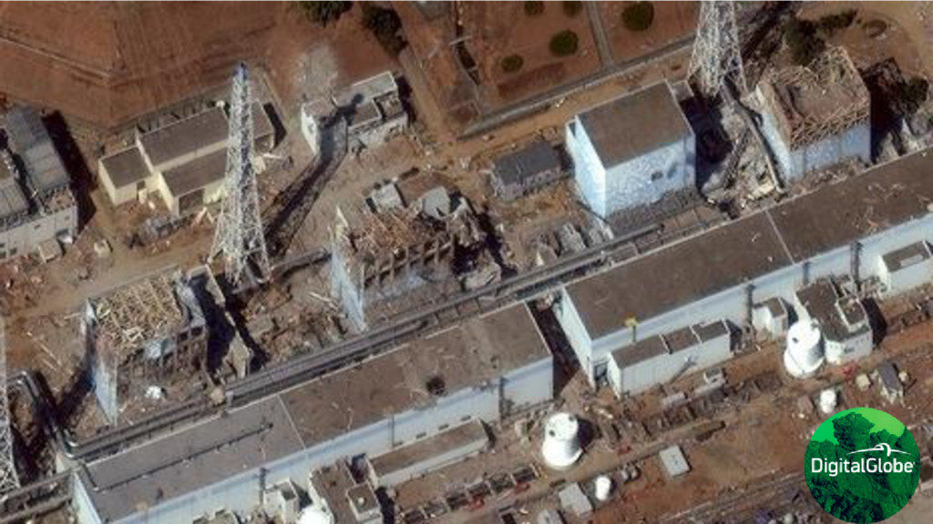
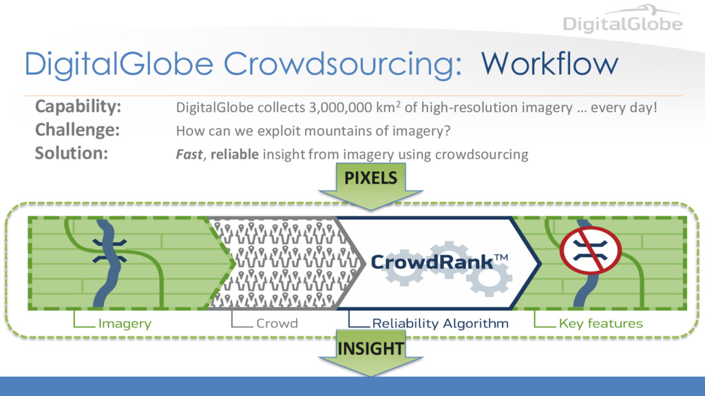
collects 3,000,000 km2 of high-resolution imagery … every day! Challenge: How can we exploit mountains of imagery? Solution: Fast, reliable insight from imagery using crowdsourcing PIXELS INSIGHT
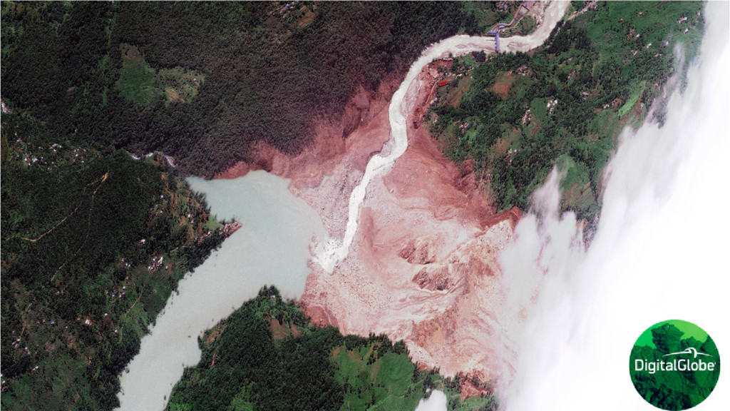
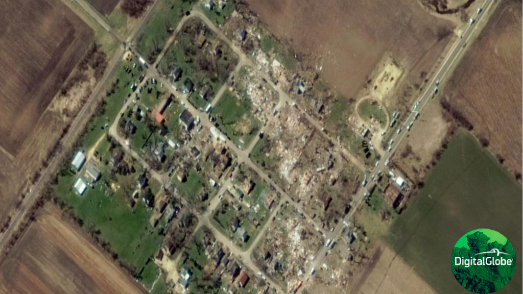
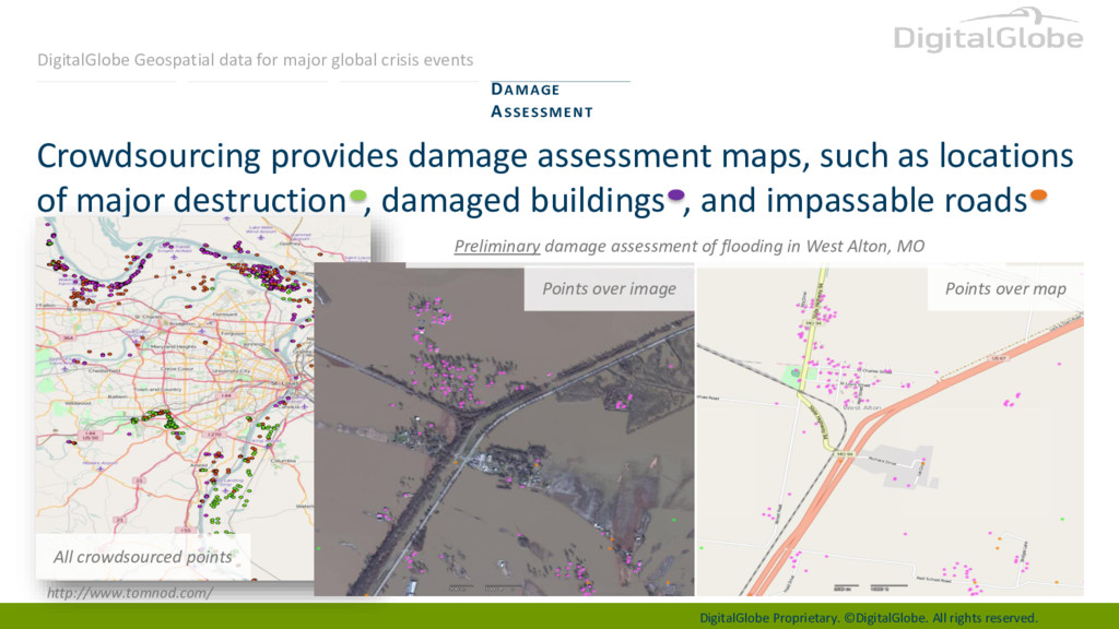
maps, such as locations of major destruction , damaged buildings , and impassable roads DAMAGE ASSESSMENT Preliminary damage assessment of flooding in West Alton, MO Points over image Points over map http://www.tomnod.com/ All crowdsourced points DigitalGlobe Geospatial data for major global crisis events
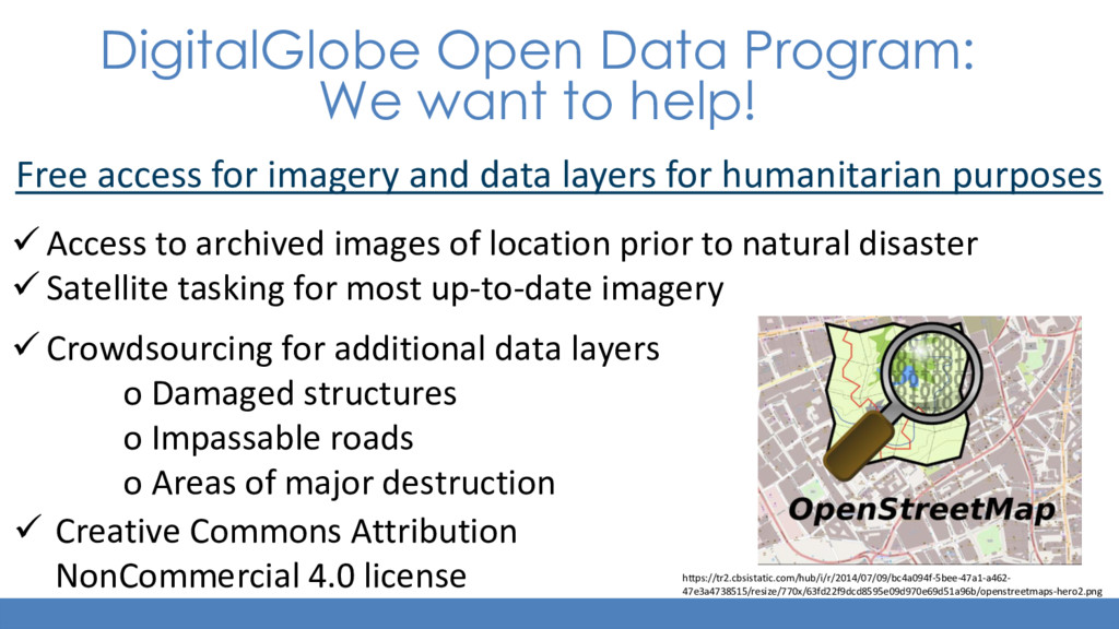
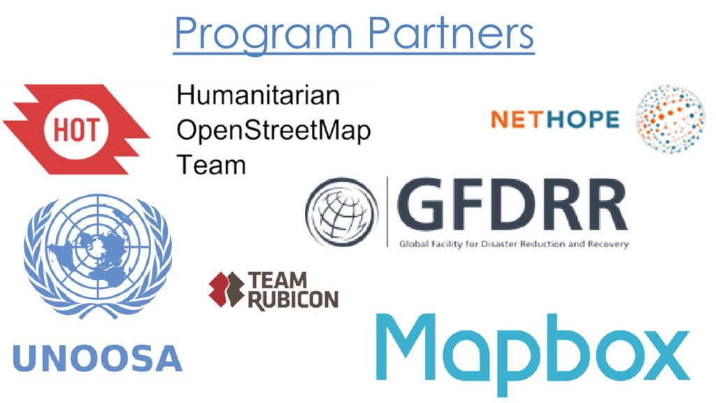
for imagery and data layers for humanitarian purposes ✓ Access to archived images of location prior to natural disaster ✓ Satellite tasking for most up-to-date imagery ✓ Crowdsourcing for additional data layers o Damaged structures o Impassable roads o Areas of major destruction https://tr2.cbsistatic.com/hub/i/r/2014/07/09/bc4a094f-5bee-47a1-a462- 47e3a4738515/resize/770x/63fd22f9dcd8595e09d970e69d51a96b/openstreetmaps-hero2.png ✓ Creative Commons Attribution NonCommercial 4.0 license
![See a better world.™ [email protected]](https://files.speakerdeck.com/presentations/2da94c1b3b84493e8e3f67336ded3c7f/slide_15.jpg)