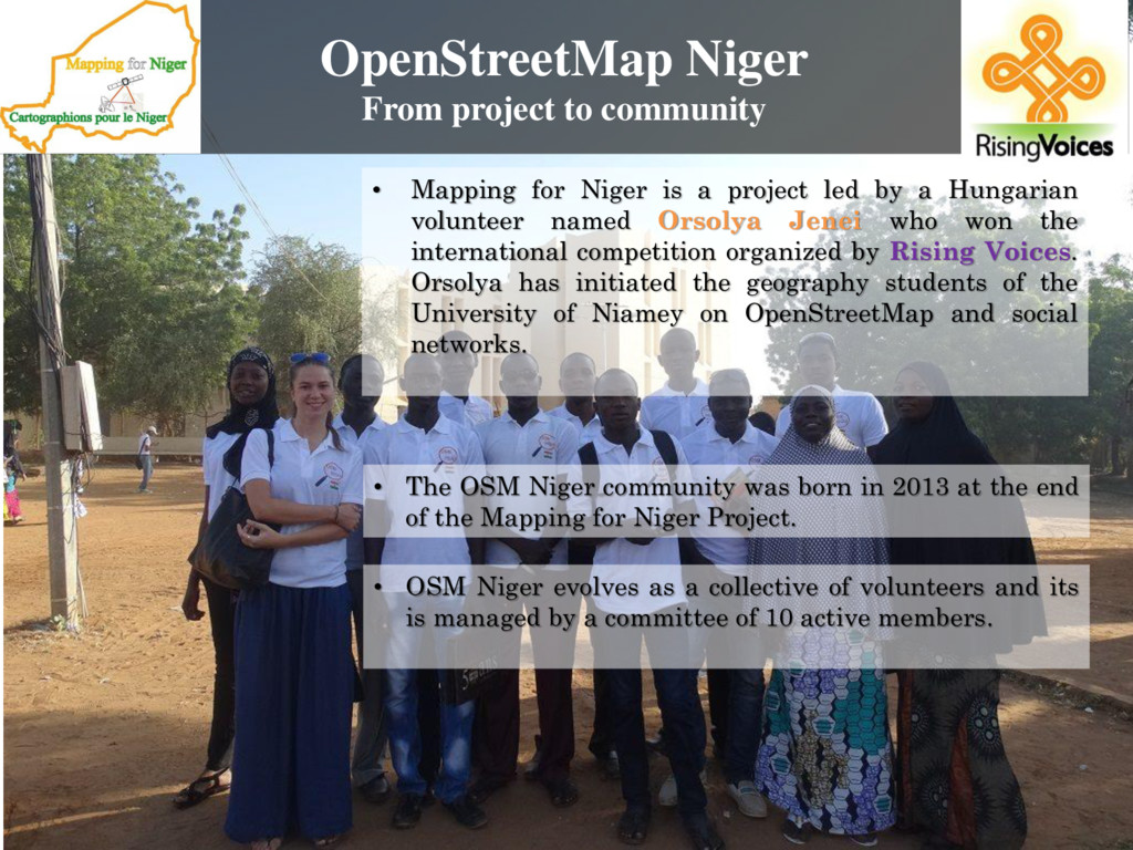
as a collective of volunteers and its is managed by a committee of 10 active members. • The OSM Niger community was born in 2013 at the end of the Mapping for Niger Project. • Mapping for Niger is a project led by a Hungarian volunteer named Orsolya Jenei who won the international competition organized by Rising Voices. Orsolya has initiated the geography students of the University of Niamey on OpenStreetMap and social networks.
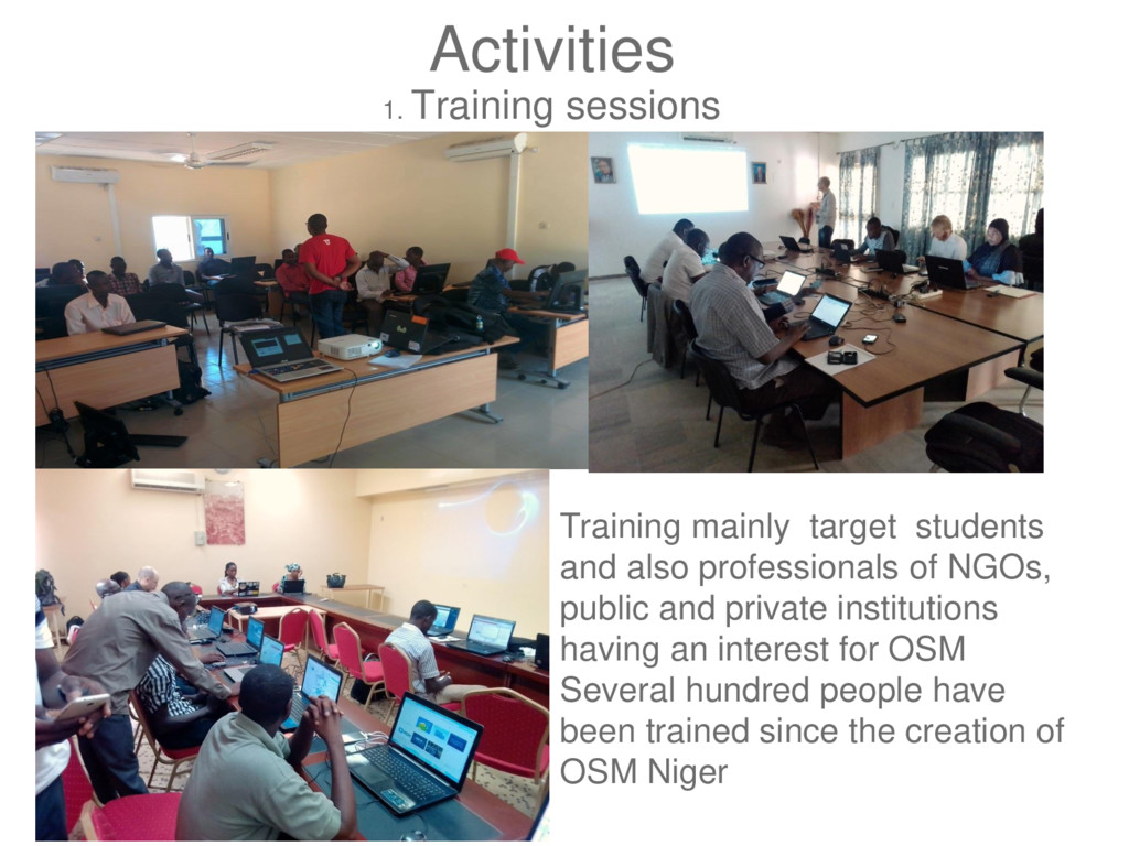
professionals of NGOs, public and private institutions having an interest for OSM Several hundred people have been trained since the creation of OSM Niger
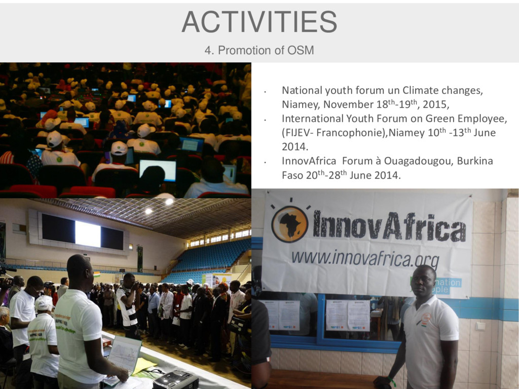
Climate changes, Niamey, November 18th-19th, 2015, • International Youth Forum on Green Employee, (FIJEV- Francophonie),Niamey 10th -13th June 2014. • InnovAfrica Forum à Ouagadougou, Burkina Faso 20th-28th June 2014.
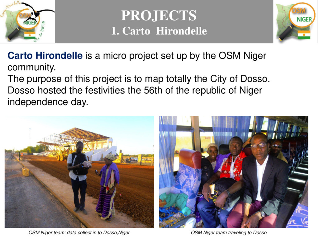
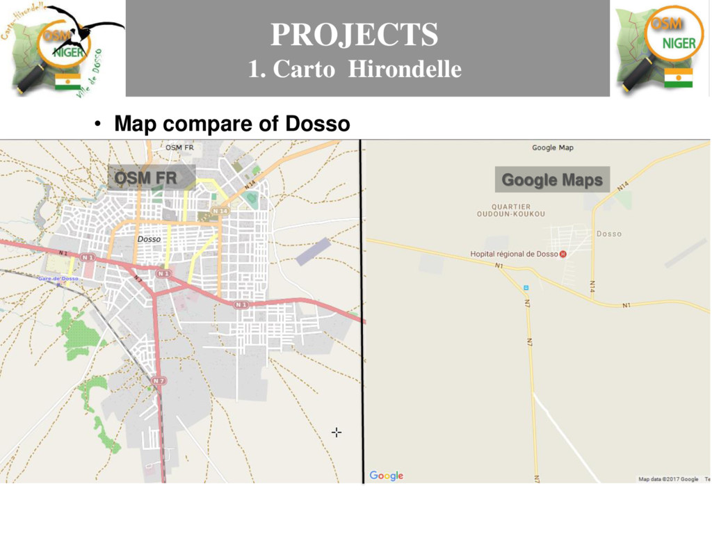
set up by the OSM Niger community. The purpose of this project is to map totally the City of Dosso. Dosso hosted the festivities the 56th of the republic of Niger independence day. OSM Niger team traveling to Dosso OSM Niger team: data collect in to Dosso,Niger
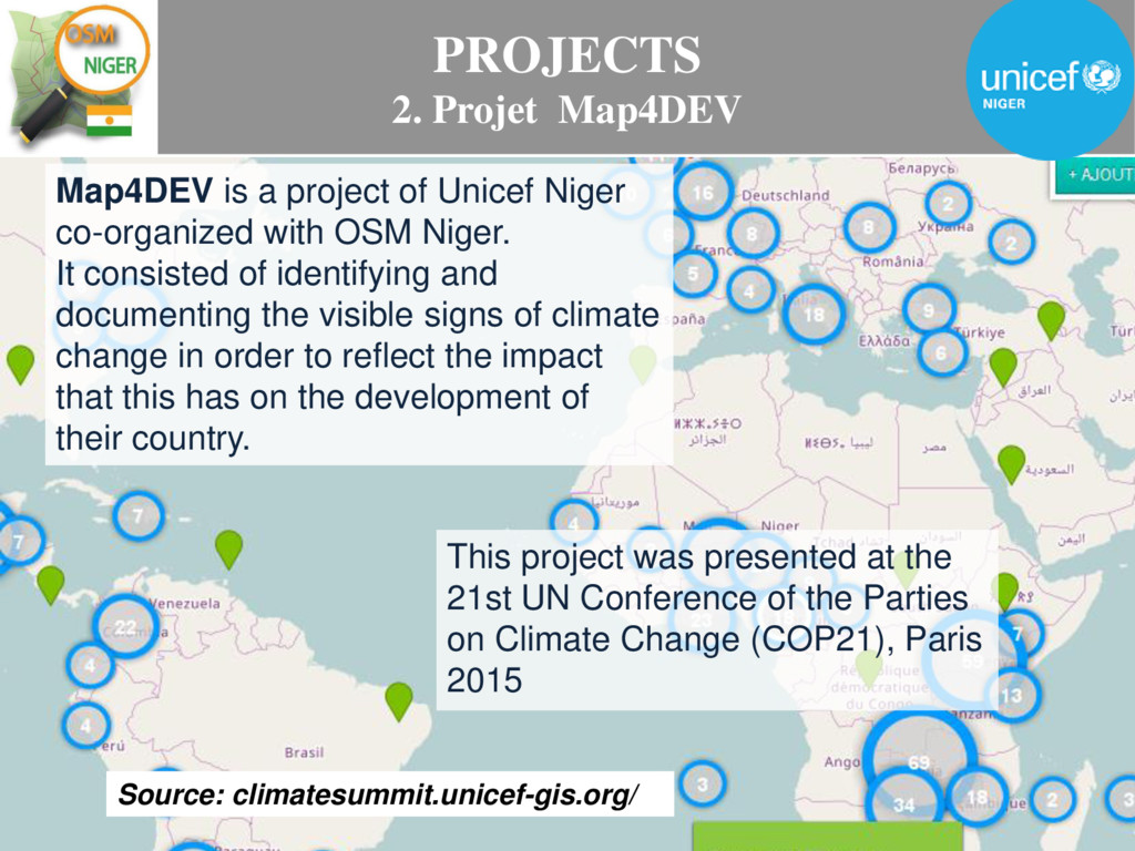
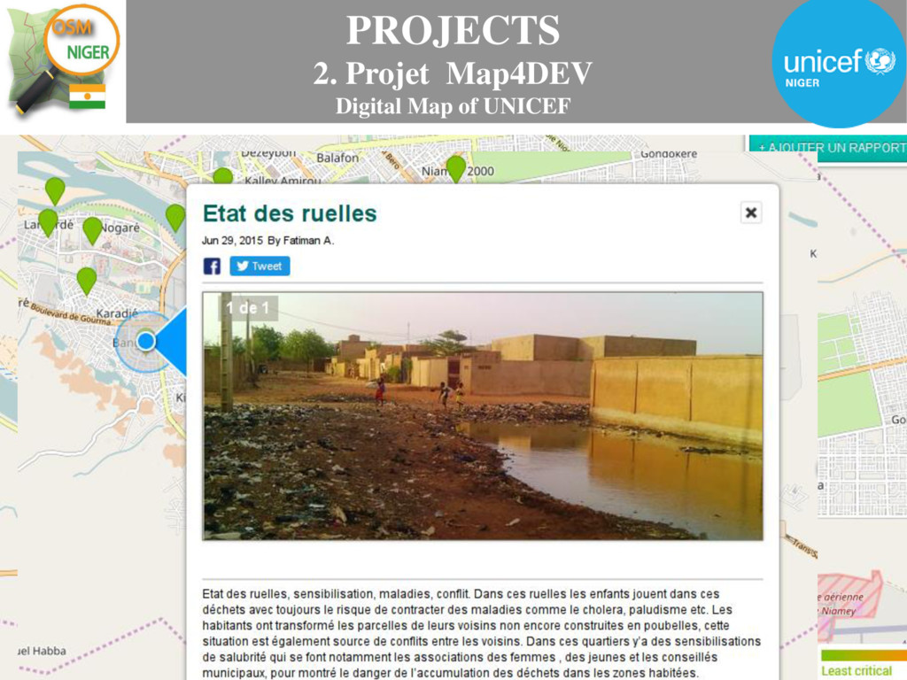
of Unicef Niger co-organized with OSM Niger. It consisted of identifying and documenting the visible signs of climate change in order to reflect the impact that this has on the development of their country. This project was presented at the 21st UN Conference of the Parties on Climate Change (COP21), Paris 2015
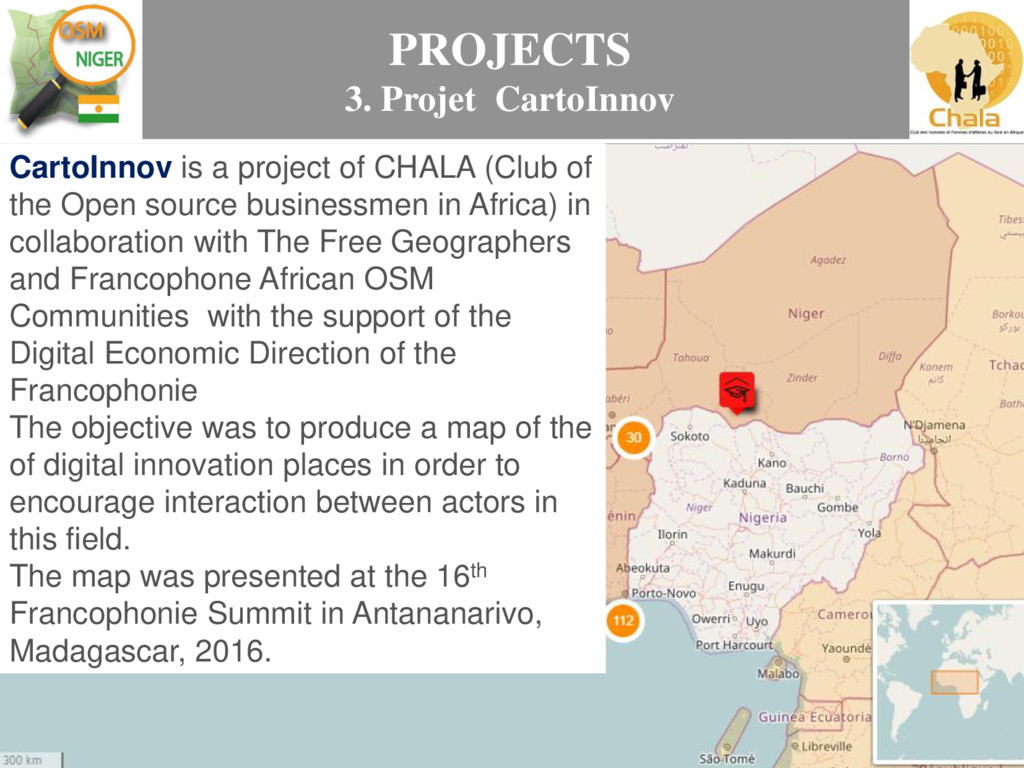
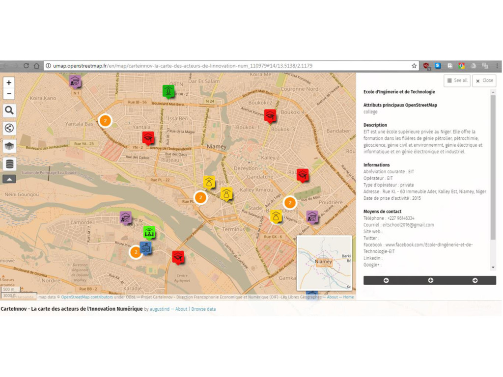
(Club of the Open source businessmen in Africa) in collaboration with The Free Geographers and Francophone African OSM Communities with the support of the Digital Economic Direction of the Francophonie The objective was to produce a map of the of digital innovation places in order to encourage interaction between actors in this field. The map was presented at the 16th Francophonie Summit in Antananarivo, Madagascar, 2016.
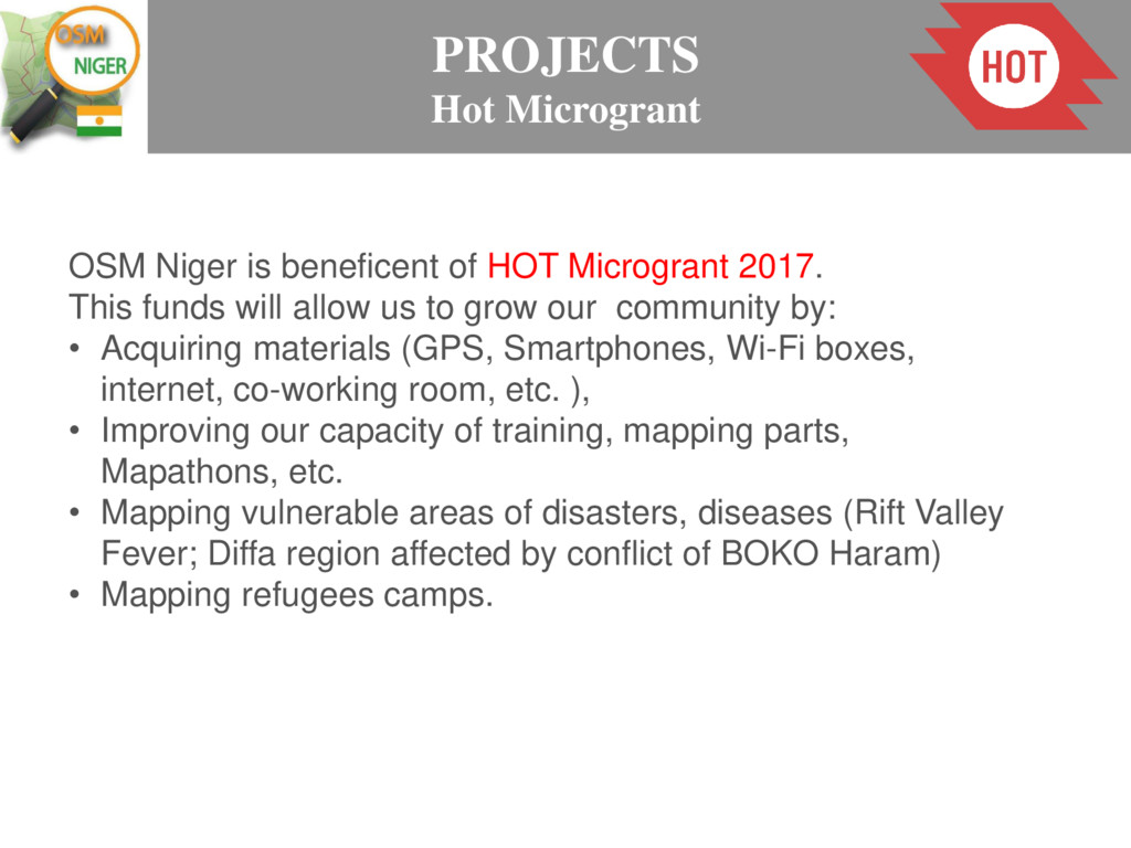
2017. This funds will allow us to grow our community by: • Acquiring materials (GPS, Smartphones, Wi-Fi boxes, internet, co-working room, etc. ), • Improving our capacity of training, mapping parts, Mapathons, etc. • Mapping vulnerable areas of disasters, diseases (Rift Valley Fever; Diffa region affected by conflict of BOKO Haram) • Mapping refugees camps.
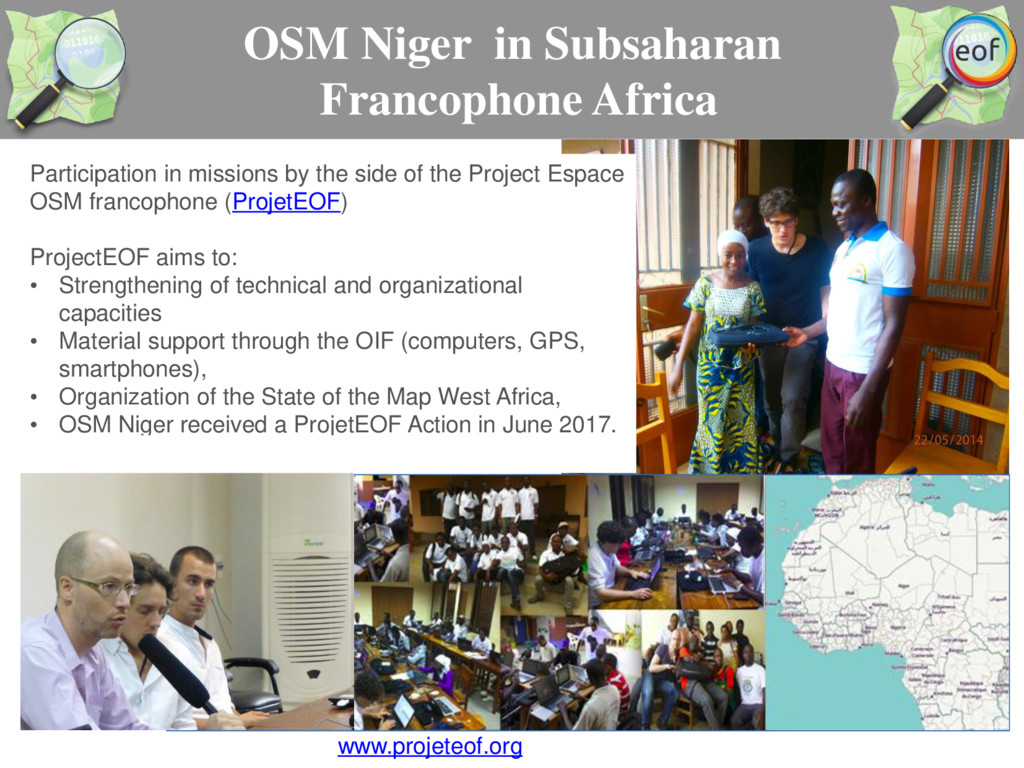
the side of the Project Espace OSM francophone (ProjetEOF) ProjectEOF aims to: • Strengthening of technical and organizational capacities • Material support through the OIF (computers, GPS, smartphones), • Organization of the State of the Map West Africa, • OSM Niger received a ProjetEOF Action in June 2017. www.projeteof.org
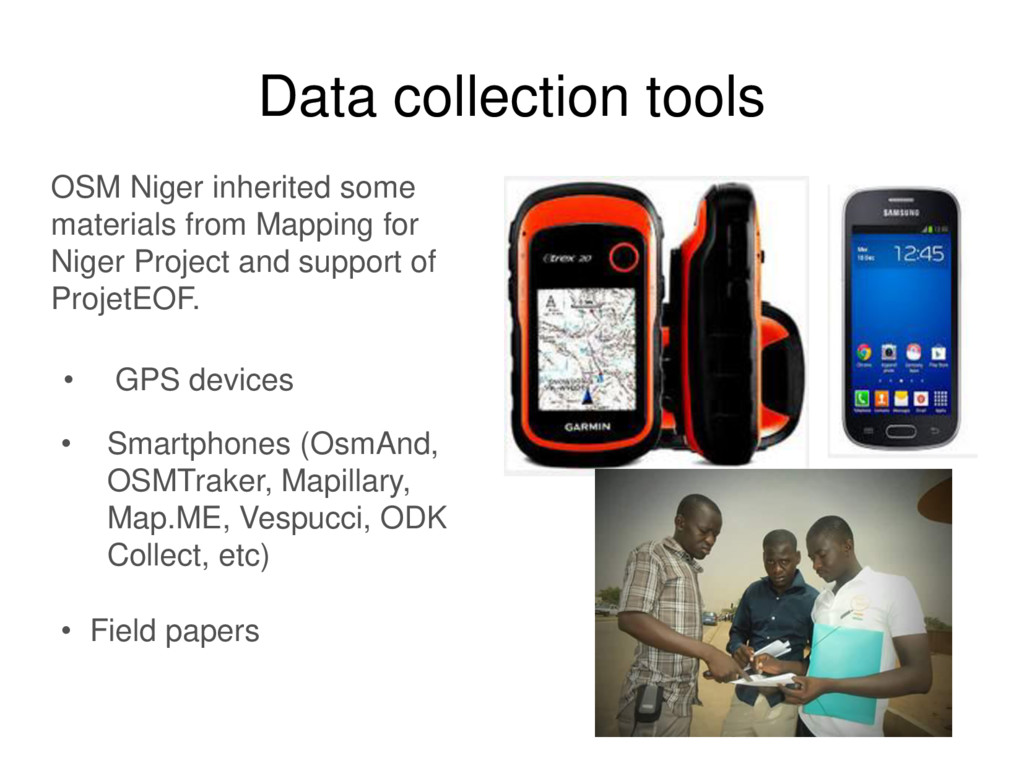
for Niger Project and support of ProjetEOF. • Smartphones (OsmAnd, OSMTraker, Mapillary, Map.ME, Vespucci, ODK Collect, etc) • GPS devices • Field papers
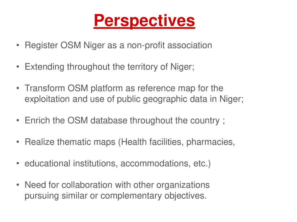
Extending throughout the territory of Niger; • Transform OSM platform as reference map for the exploitation and use of public geographic data in Niger; • Enrich the OSM database throughout the country ; • Realize thematic maps (Health facilities, pharmacies, • educational institutions, accommodations, etc.) • Need for collaboration with other organizations pursuing similar or complementary objectives.
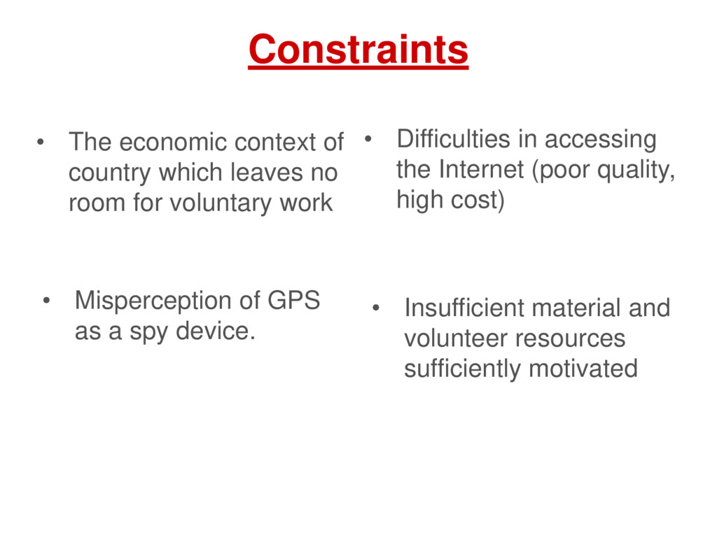
room for voluntary work • Difficulties in accessing the Internet (poor quality, high cost) • Insufficient material and volunteer resources sufficiently motivated • Misperception of GPS as a spy device.
![Information medias Communauté OpenStreetMap Niger Mapping For Niger @OSMNiger [email protected]](https://files.speakerdeck.com/presentations/57a2649f4c344f4aa0195af780f4cae2/slide_18.jpg)