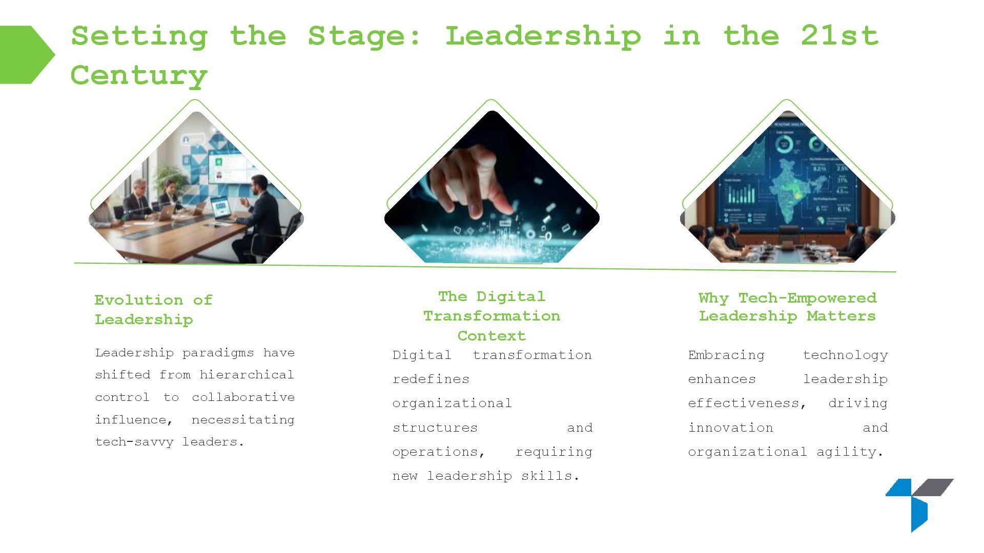
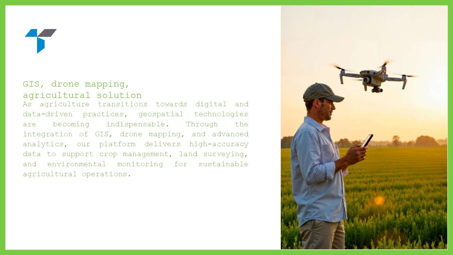
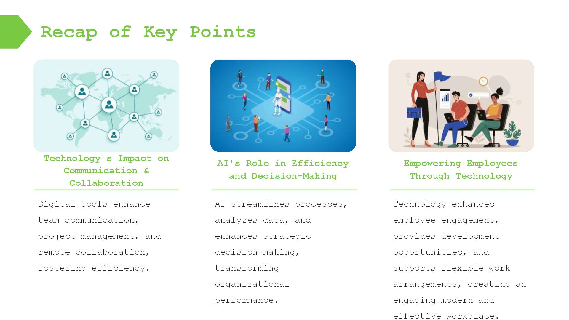
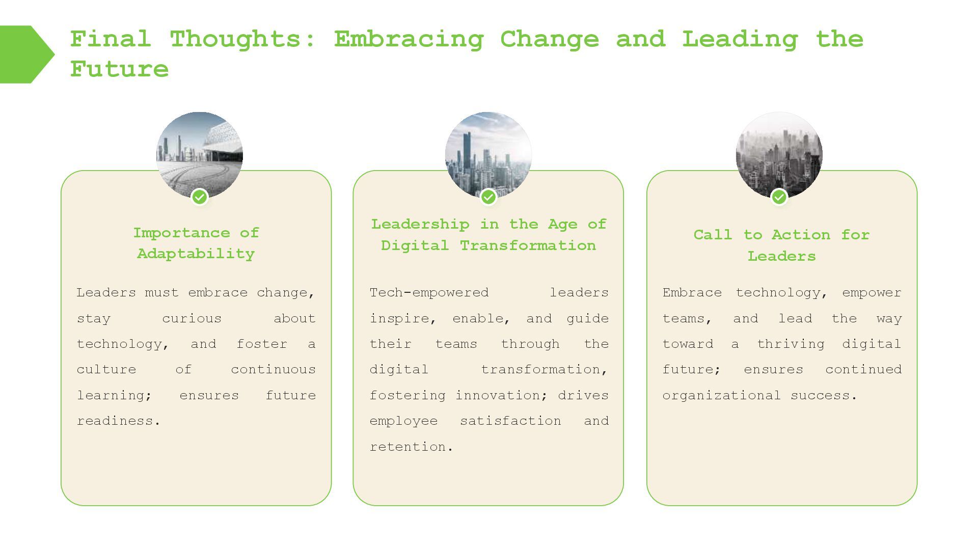
Modern leadership increasingly leverages GIS and drone mapping technologies to enhance communication, automate data collection, and support data-driven spatial decision-making. By integrating AI-powered analytics, geospatial platforms, and drone-based aerial surveys, organizations can improve operational efficiency, real-time monitoring, and collaborative planning. This approach fosters a culture of innovation, continuous learning, and employee empowerment, enabling leaders to make accurate, location-based insights. Leaders who embrace GIS and drone mapping build agile, resilient organizations prepared for sustainable, long-term success.
![Email : [email protected] Address : Ahmedabad, Gujarat, India. Phone :](https://files.speakerdeck.com/presentations/b05ad9a7a0084ebd98a95f9783d077e1/slide_26.jpg)