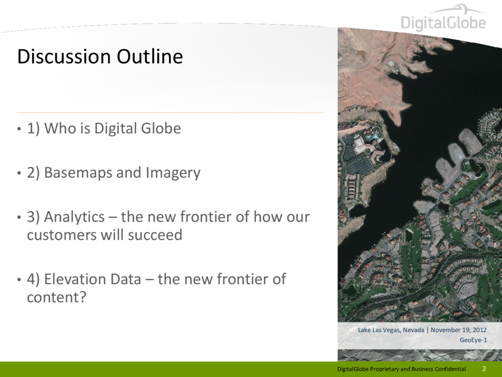
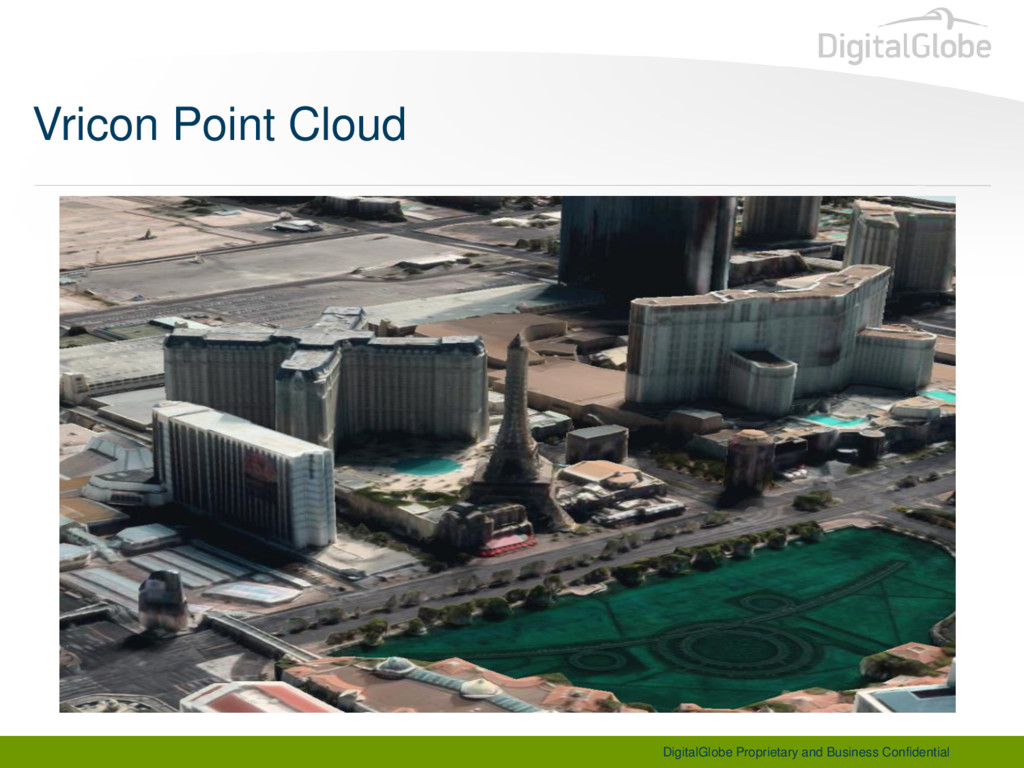
Vegas, Nevada | November 19, 2012 GeoEye-1 • 1) Who is Digital Globe • 2) Basemaps and Imagery • 3) Analytics – the new frontier of how our customers will succeed • 4) Elevation Data – the new frontier of content?
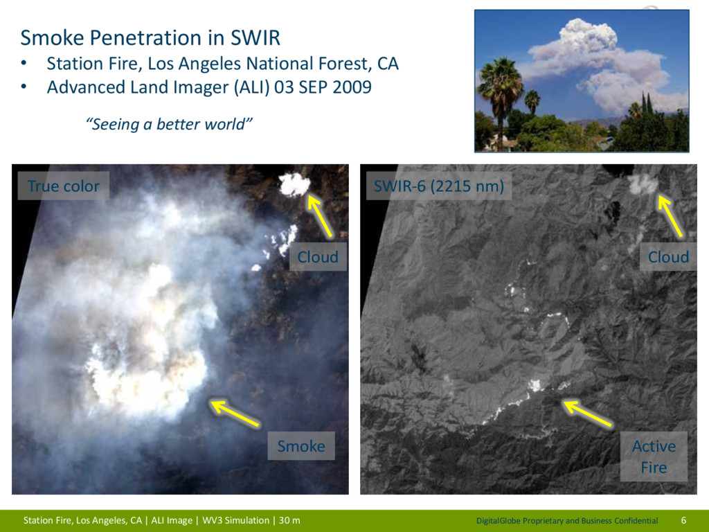
Station Fire, Los Angeles National Forest, CA • Advanced Land Imager (ALI) 03 SEP 2009 “Seeing a better world” 6 True color SWIR-6 (2215 nm) Cloud Cloud Active Fire Smoke Station Fire, Los Angeles, CA | ALI Image | WV3 Simulation | 30 m
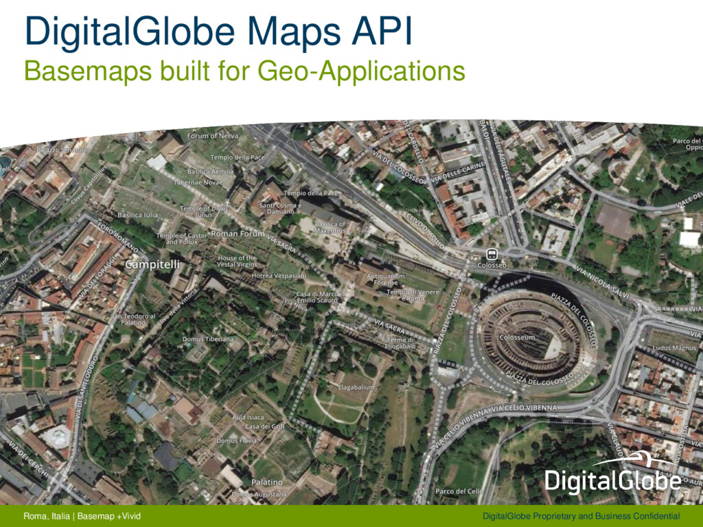
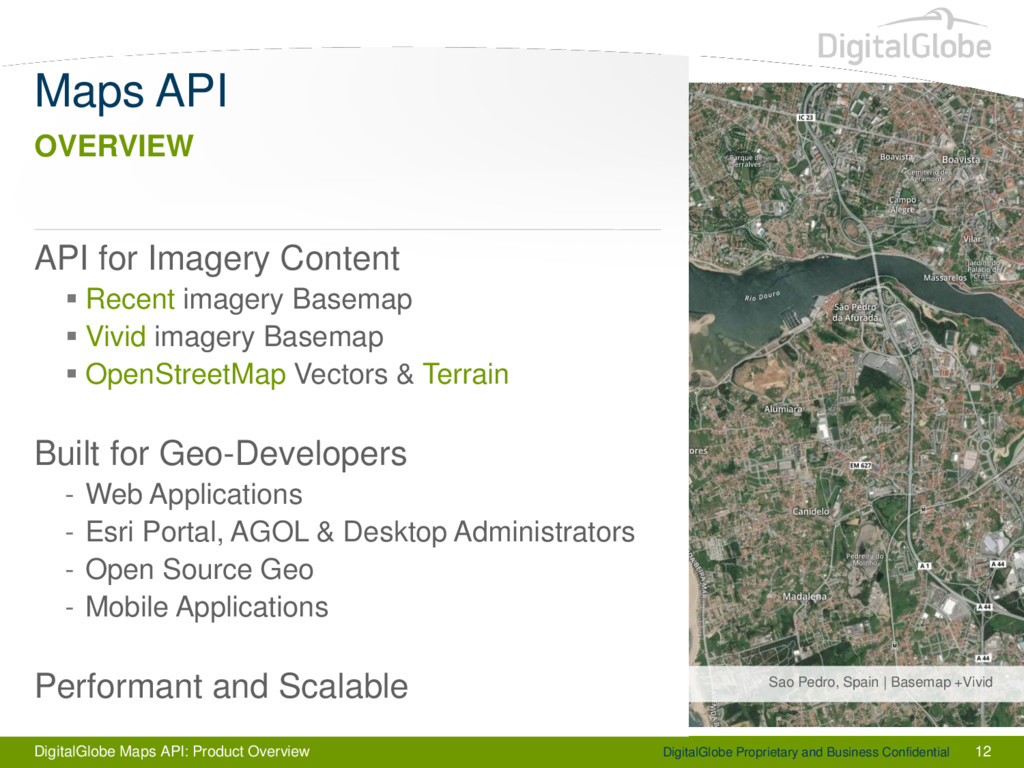
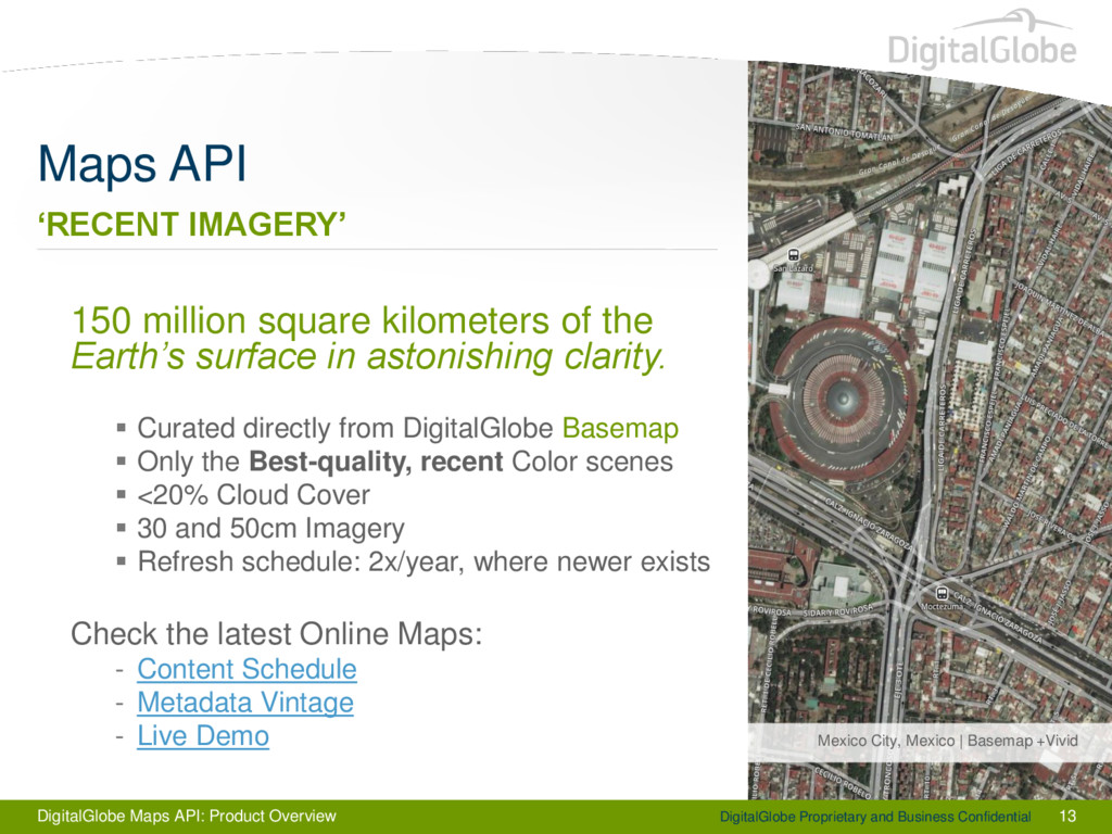
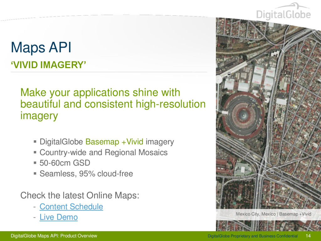
13 Maps API Mexico City, Mexico | Basemap +Vivid ‘RECENT IMAGERY’ 150 million square kilometers of the Earth’s surface in astonishing clarity. Curated directly from DigitalGlobe Basemap Only the Best-quality, recent Color scenes <20% Cloud Cover 30 and 50cm Imagery Refresh schedule: 2x/year, where newer exists Check the latest Online Maps: - Content Schedule - Metadata Vintage - Live Demo
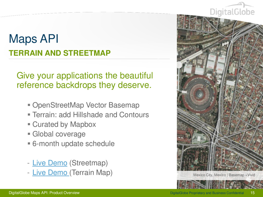
15 Maps API Mexico City, Mexico | Basemap +Vivid TERRAIN AND STREETMAP Give your applications the beautiful reference backdrops they deserve. OpenStreetMap Vector Basemap Terrain: add Hillshade and Contours Curated by Mapbox Global coverage 6-month update schedule - Live Demo (Streetmap) - Live Demo (Terrain Map)
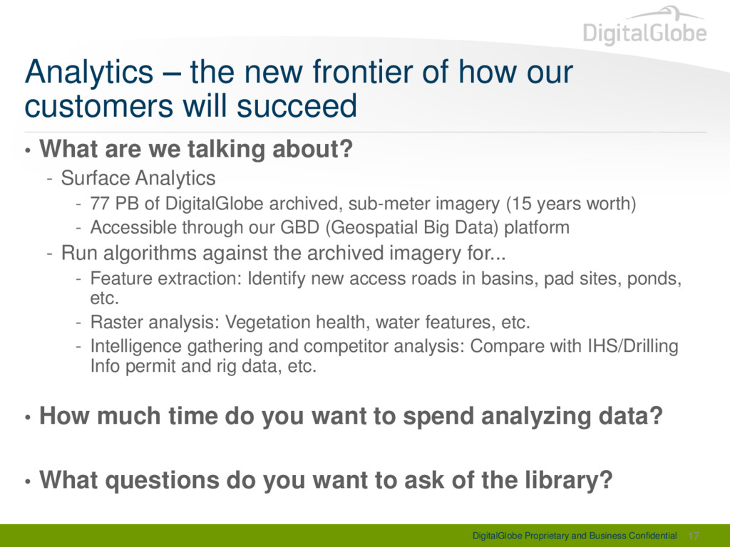
of how our customers will succeed • What are we talking about? - Surface Analytics - 77 PB of DigitalGlobe archived, sub-meter imagery (15 years worth) - Accessible through our GBD (Geospatial Big Data) platform - Run algorithms against the archived imagery for... - Feature extraction: Identify new access roads in basins, pad sites, ponds, etc. - Raster analysis: Vegetation health, water features, etc. - Intelligence gathering and competitor analysis: Compare with IHS/Drilling Info permit and rig data, etc. • How much time do you want to spend analyzing data? • What questions do you want to ask of the library? 17
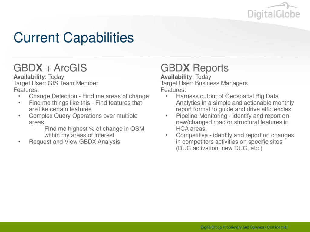
Target User: GIS Team Member Features: • Change Detection - Find me areas of change • Find me things like this - Find features that are like certain features • Complex Query Operations over multiple areas - FInd me highest % of change in OSM within my areas of interest • Request and View GBDX Analysis GBDX Reports Availability: Today Target User: Business Managers Features: • Harness output of Geospatial Big Data Analytics in a simple and actionable monthly report format to guide and drive efficiencies. • Pipeline Monitoring - identify and report on new/changed road or structural features in HCA areas. • Competitive - identify and report on changes in competitors activities on specific sites (DUC activation, new DUC, etc.) Current Capabilities
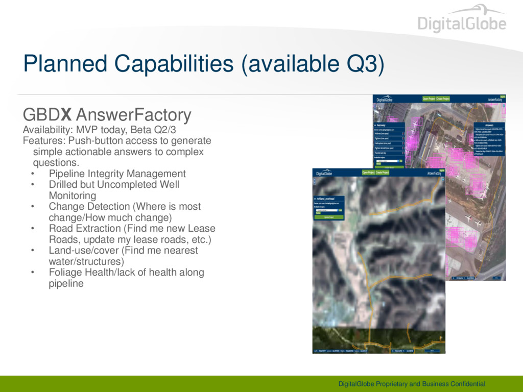
Beta Q2/3 Features: Push-button access to generate simple actionable answers to complex questions. • Pipeline Integrity Management • Drilled but Uncompleted Well Monitoring • Change Detection (Where is most change/How much change) • Road Extraction (Find me new Lease Roads, update my lease roads, etc.) • Land-use/cover (Find me nearest water/structures) • Foliage Health/lack of health along pipeline Planned Capabilities (available Q3)
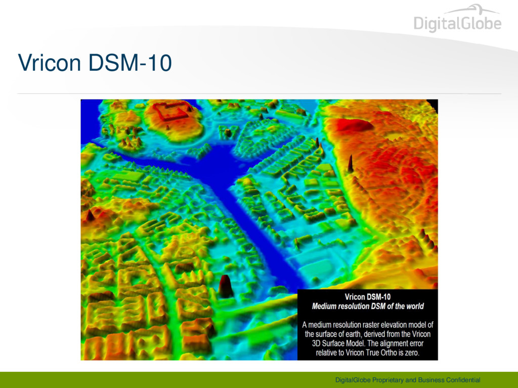
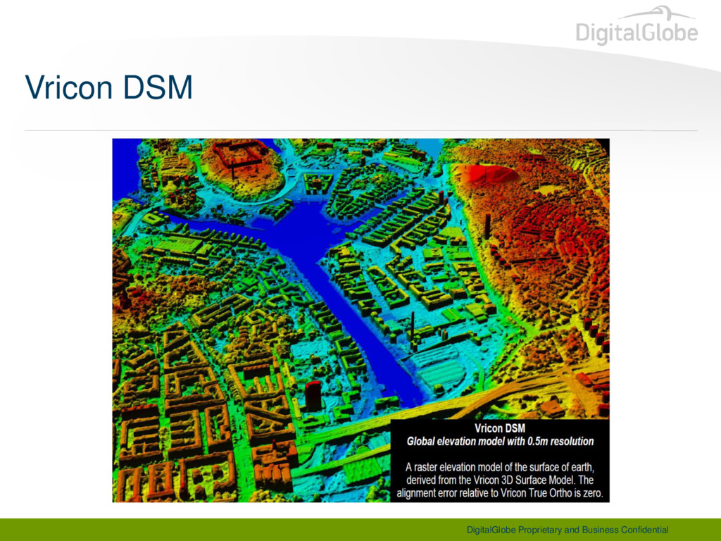
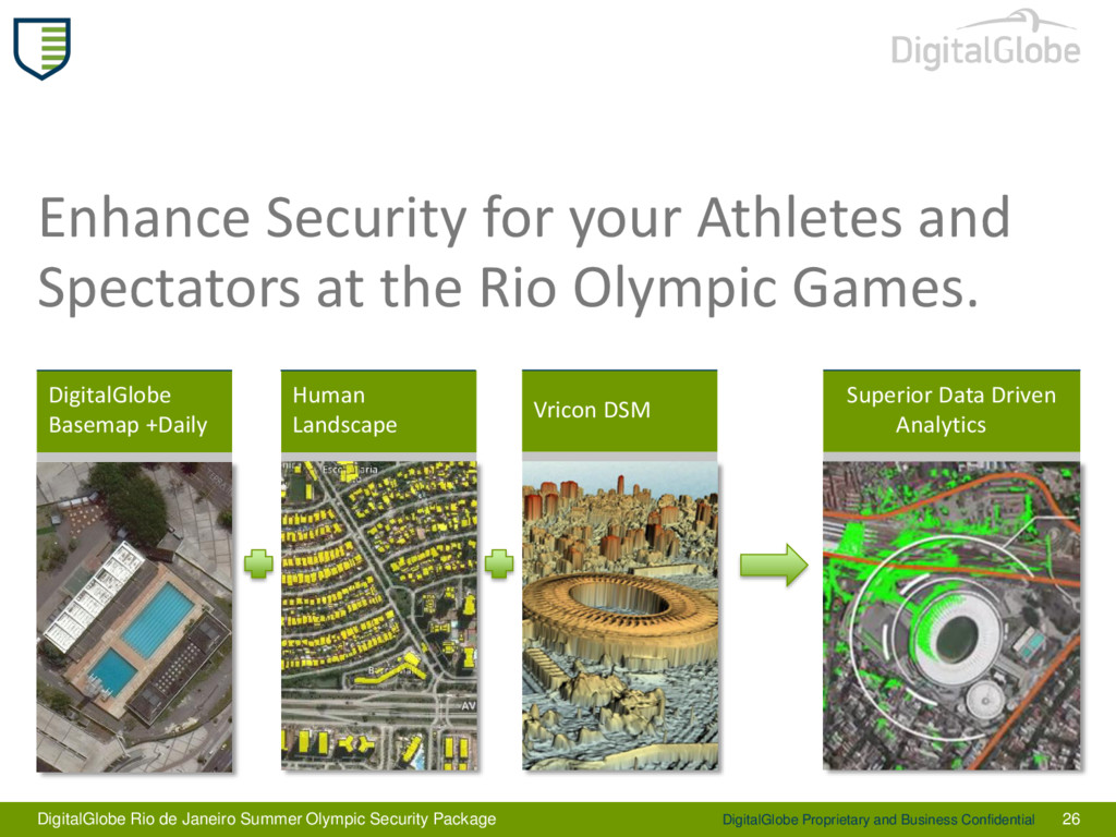
26 Enhance Security for your Athletes and Spectators at the Rio Olympic Games. Vricon DSM DigitalGlobe Rio de Janeiro Summer Olympic Security Package Superior Data Driven Analytics


 texasnaturalresourcesinformationsytem
 shreyas1009
 nasuvitz
 ennael
 dada4386
 ysuzuki
 kohbis
 sansantech
 oracle4engineer
 husengs7
 tomzoh
 masahirokawahara
 dvrv_tknrszk
 marcelosomers
 kristinabergwall1
 tammielis
 reverentgeek
 tammyeverts
 sachag
 vanstee
 lara
lara
 jeffersonlam
 irinanazarova
 geoffreycrofte
 denniskardys