developed the Texas Wildlife Action Plan, listing one of the major goals as “developing an integrated GIS database of fish, wildlife and water data to ensure decisions are based on sound science and the best available data.” RIS is funded through the US Fish and Wildlife Service (USFWS) State Wildlife Grants (SWG) Program.
federal grant funds for developing and implementing programs that benefit wildlife and their habitats, including species not hunted or fished. Priority is placed on projects that benefit species of greatest conservation need. Grant funds must be used to address conservation needs such as research, surveys, species and habitat management, and monitoring.
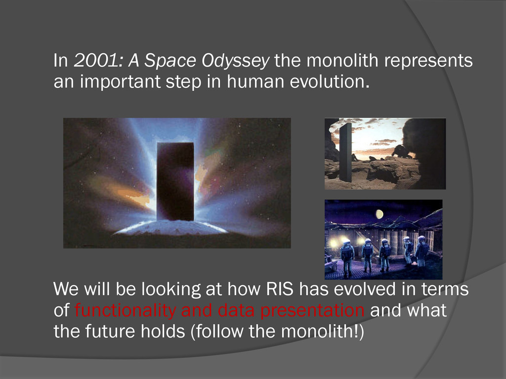
step in human evolution. We will be looking at how RIS has evolved in terms of functionality and data presentation and what the future holds (follow the monolith!)
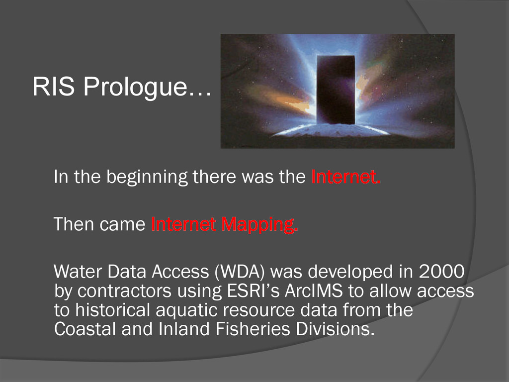
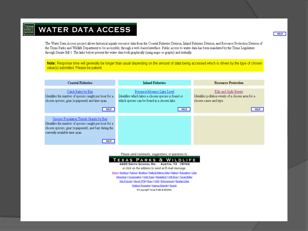
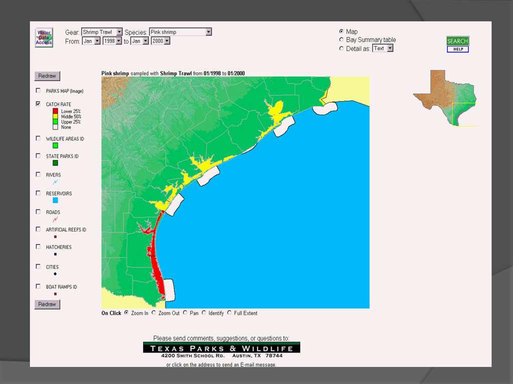
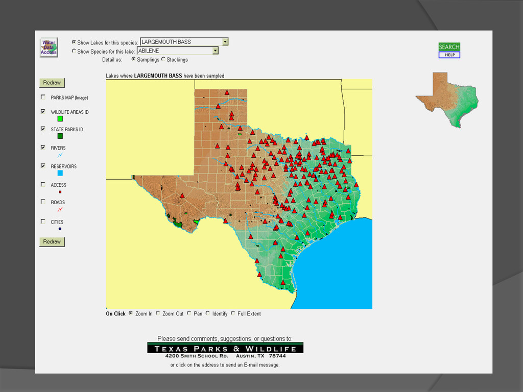
came Internet Mapping. Water Data Access (WDA) was developed in 2000 by contractors using ESRI’s ArcIMS to allow access to historical aquatic resource data from the Coastal and Inland Fisheries Divisions.
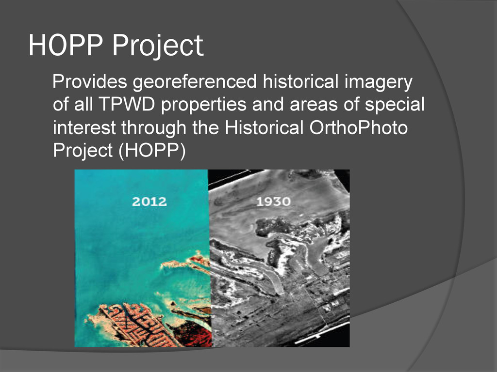
WDA 2002 TPWD GIS Lab secured SWG funding to establish RIS Develop web sites in-house with help of contractor – technology transfer VJW Enterprises, Inc., wptc, Inc. Also began working on HOPP
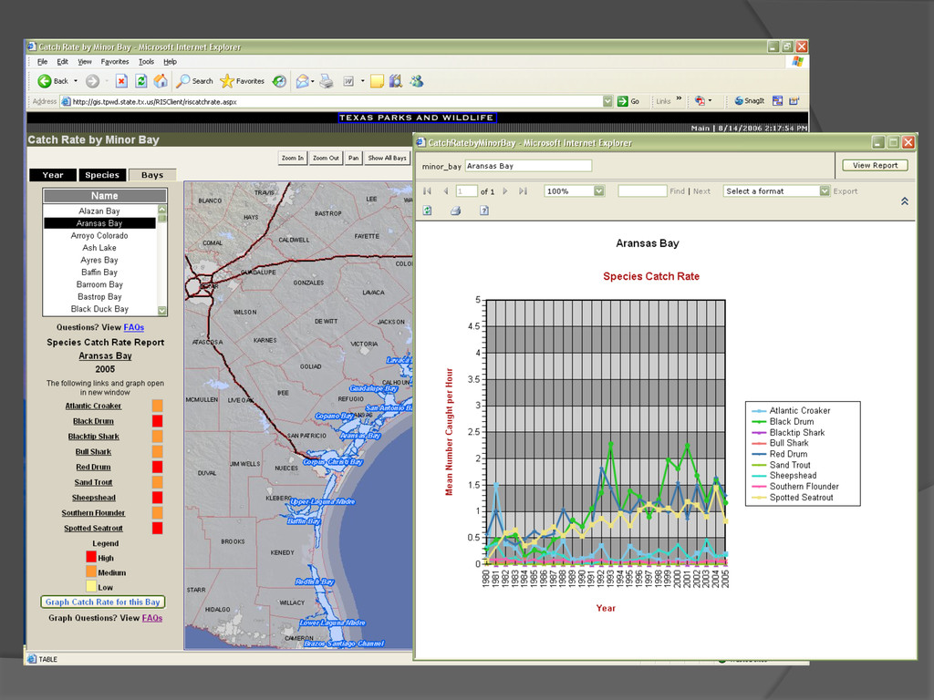
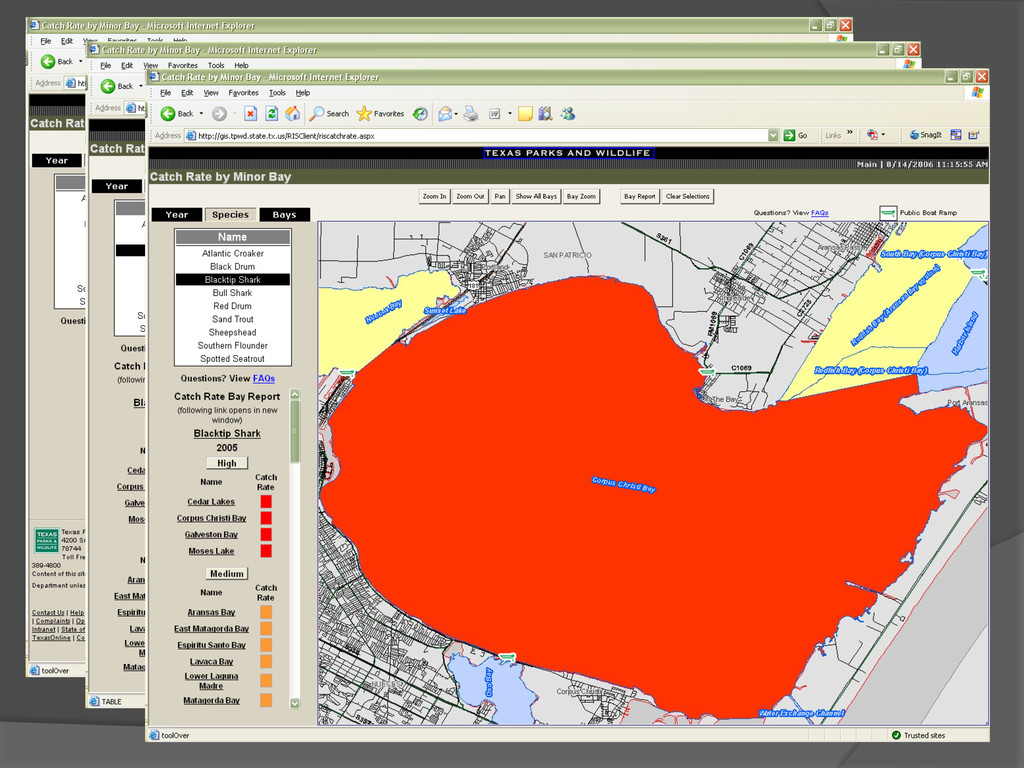
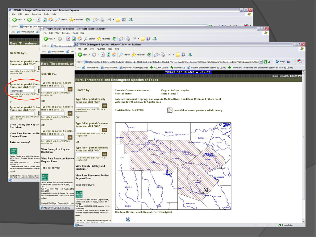
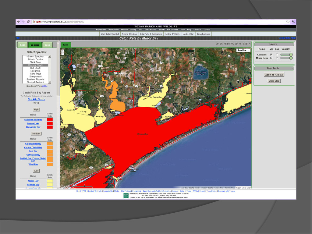
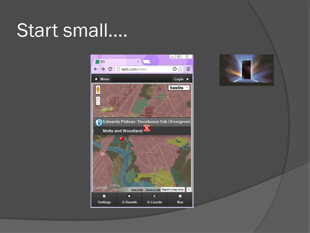
Catch Rate by Minor Bay is a redo of WDA Originally used ESRI’s ArcIMS 4.0 and ArcSDE Catch Rate displays catch rates of several important fish species in Texas coastal waters by year for either a species of interest or for a bay of interest. Endangered Species application provides the public with county level information in map and report formats for species of special concern in Texas. Recently upgraded (uses Google Maps)
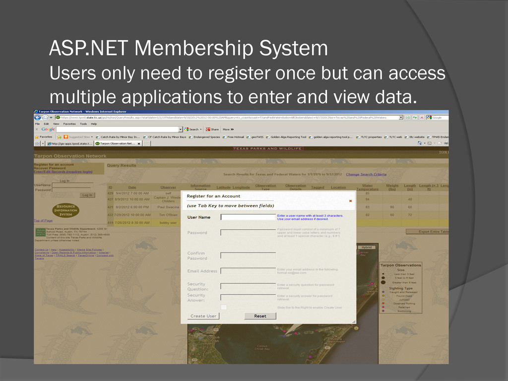
SQL Server 2008 Spatial and Google Maps in 2008-2009 Also incorporated ASP.NET Membership system to provide security for data entry and data viewing
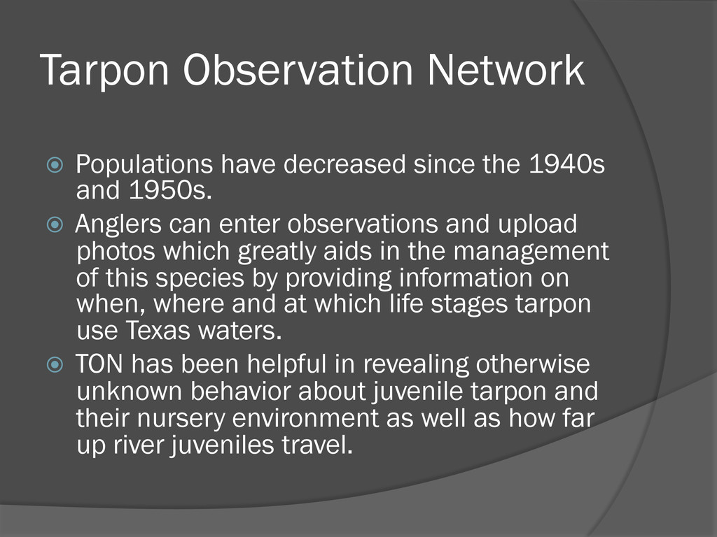
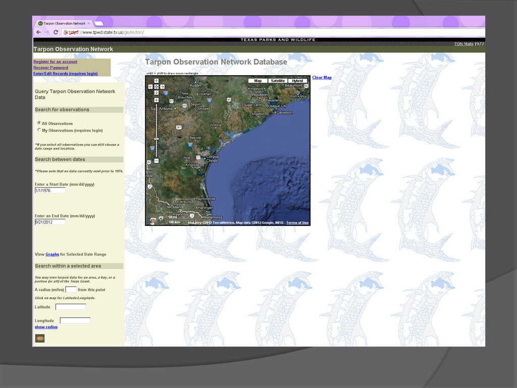
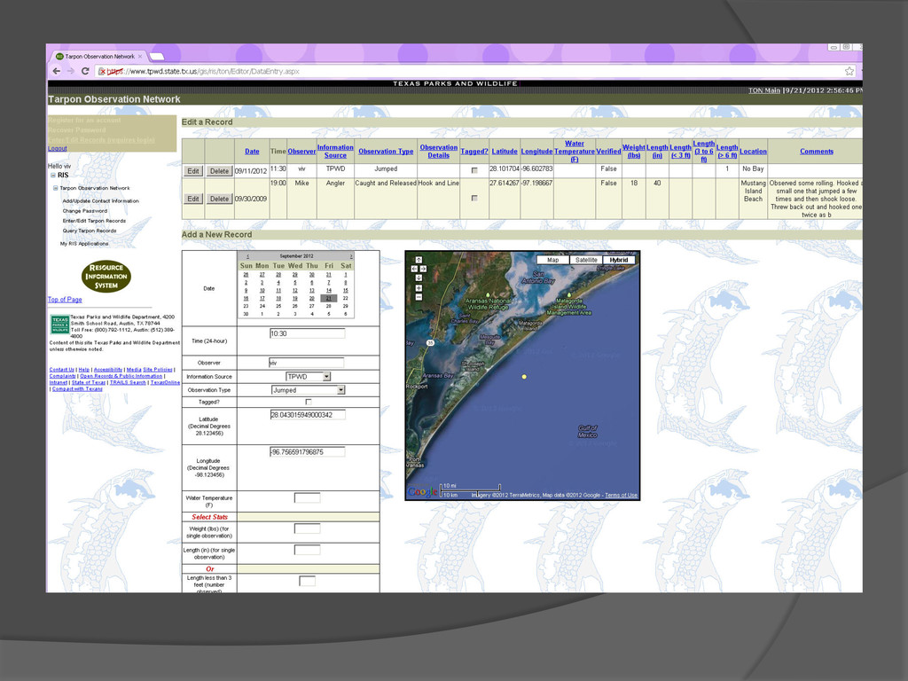
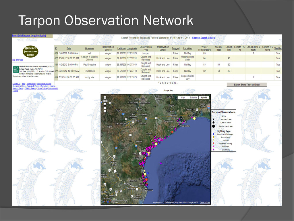
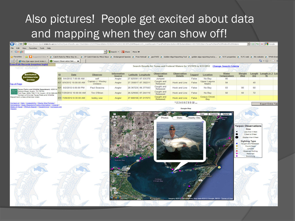
and 1950s. Anglers can enter observations and upload photos which greatly aids in the management of this species by providing information on when, where and at which life stages tarpon use Texas waters. TON has been helpful in revealing otherwise unknown behavior about juvenile tarpon and their nursery environment as well as how far up river juveniles travel.
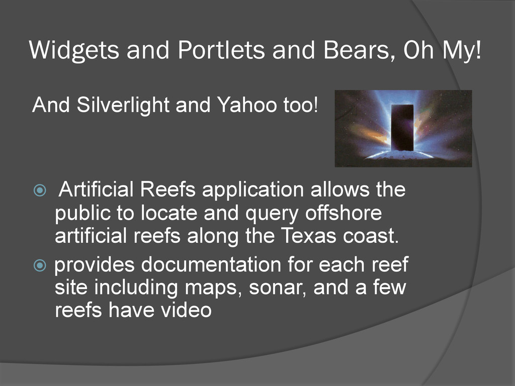
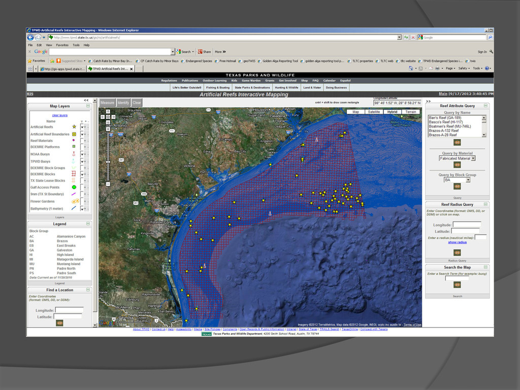
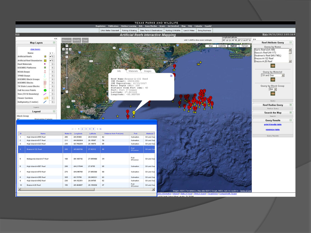
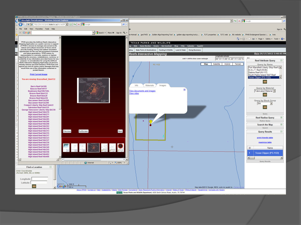
Yahoo too! Artificial Reefs application allows the public to locate and query offshore artificial reefs along the Texas coast. provides documentation for each reef site including maps, sonar, and a few reefs have video
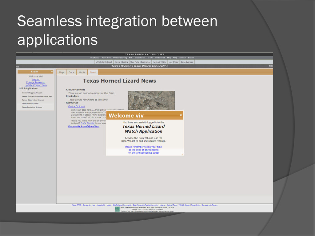
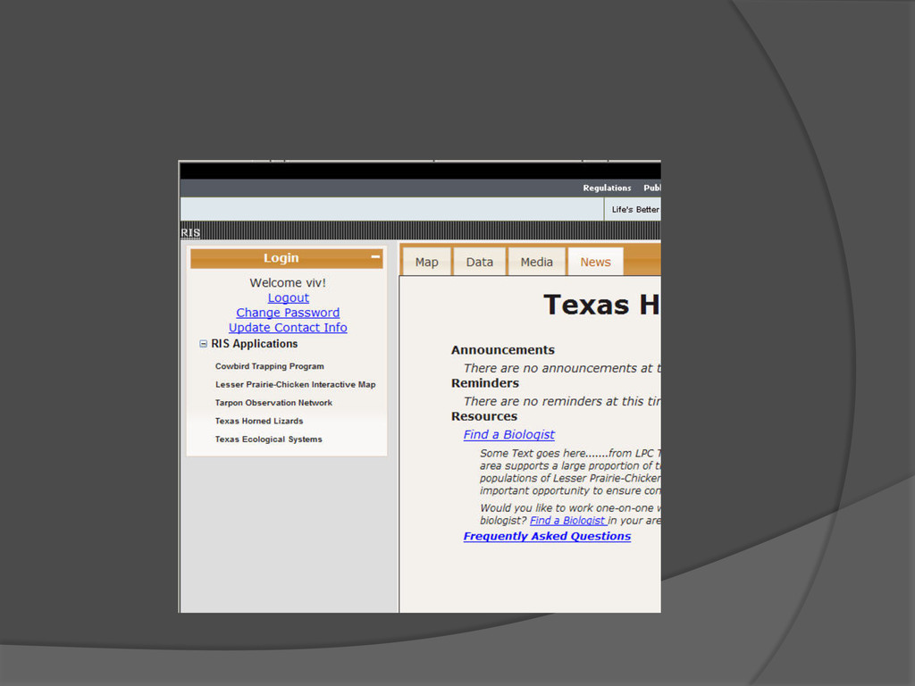
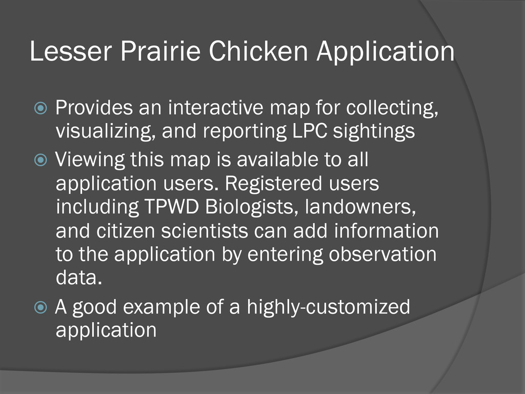
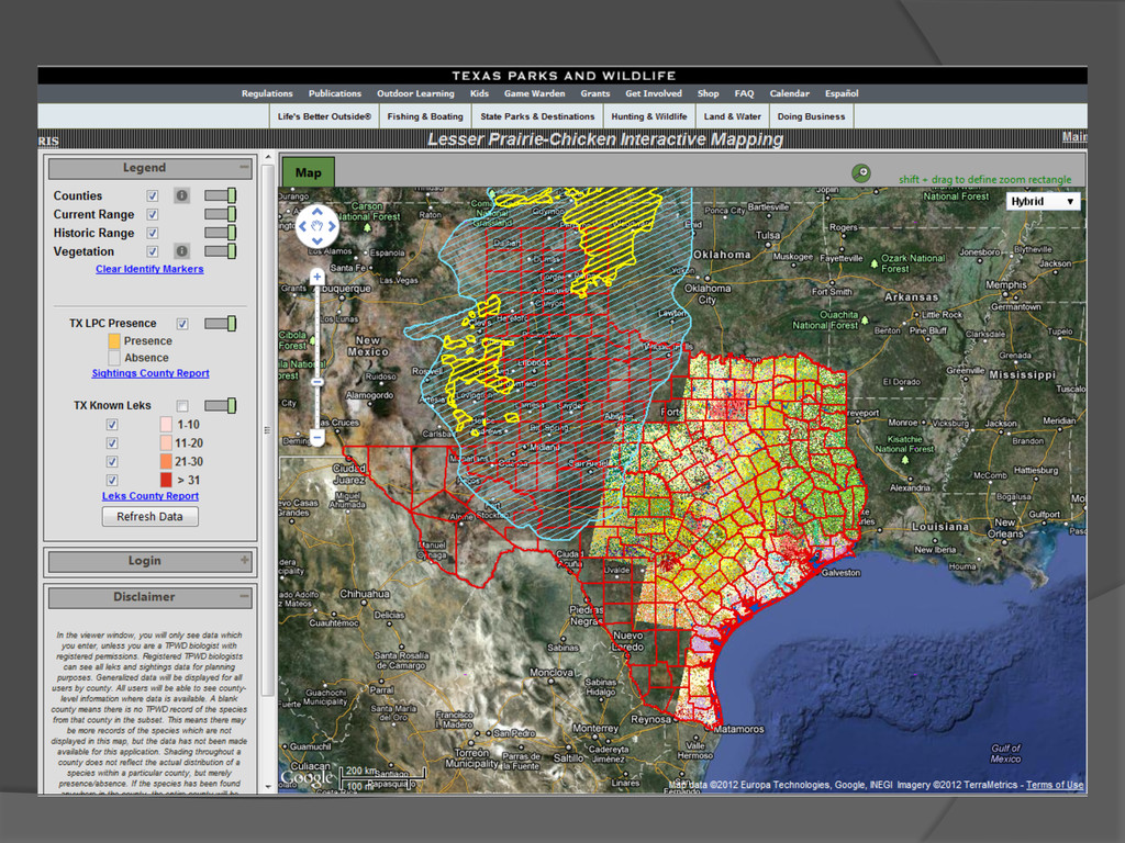
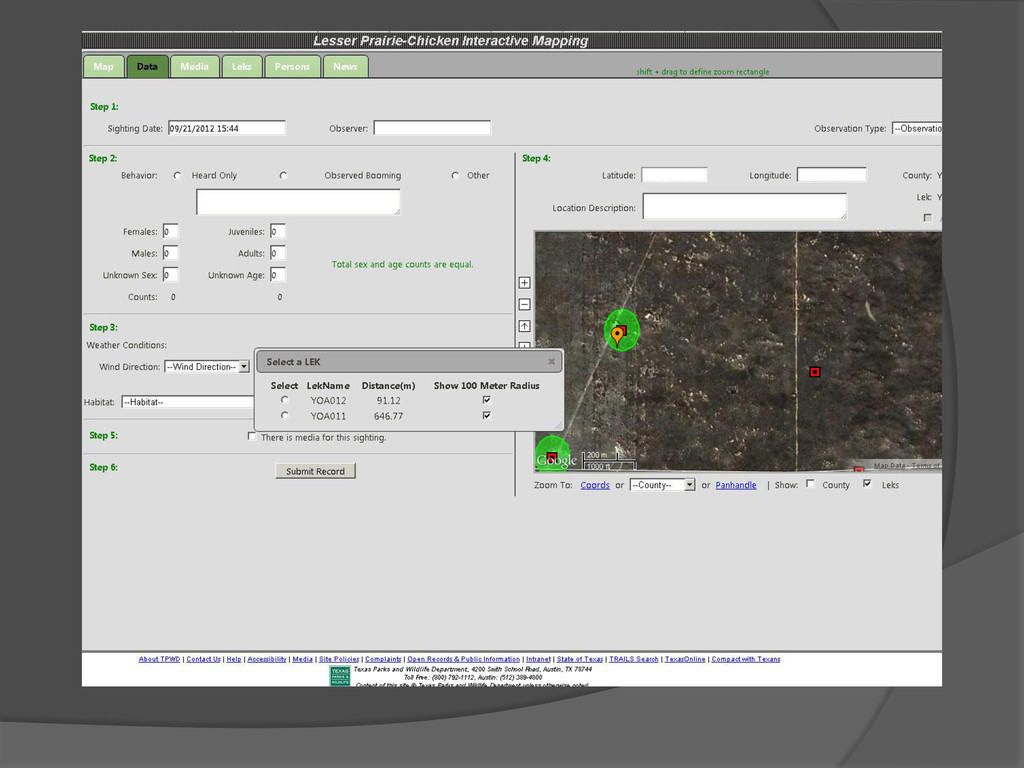
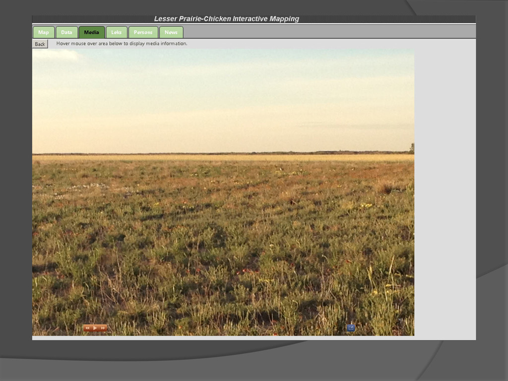
collecting, visualizing, and reporting LPC sightings Viewing this map is available to all application users. Registered users including TPWD Biologists, landowners, and citizen scientists can add information to the application by entering observation data. A good example of a highly-customized application
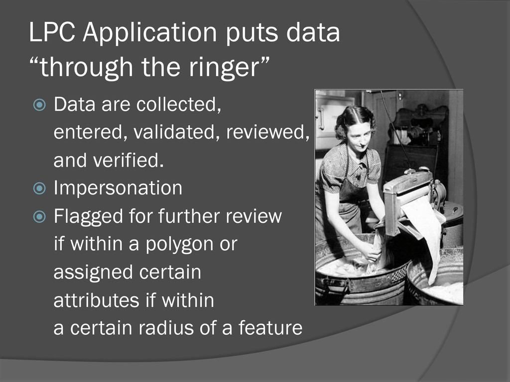
collected, entered, validated, reviewed, and and verified. Impersonation Flagged for further review if within a polygon or assigned certain attributes if within a certain radius of a feature
apps: 77 Billion - the number of mobile apps expected to be downloaded annually by 2014 according to International Data Corporation (IDC) (from Forbes Magazine September 10, 2012) Design for mobile apps first – how do you do this for highly customized apps?