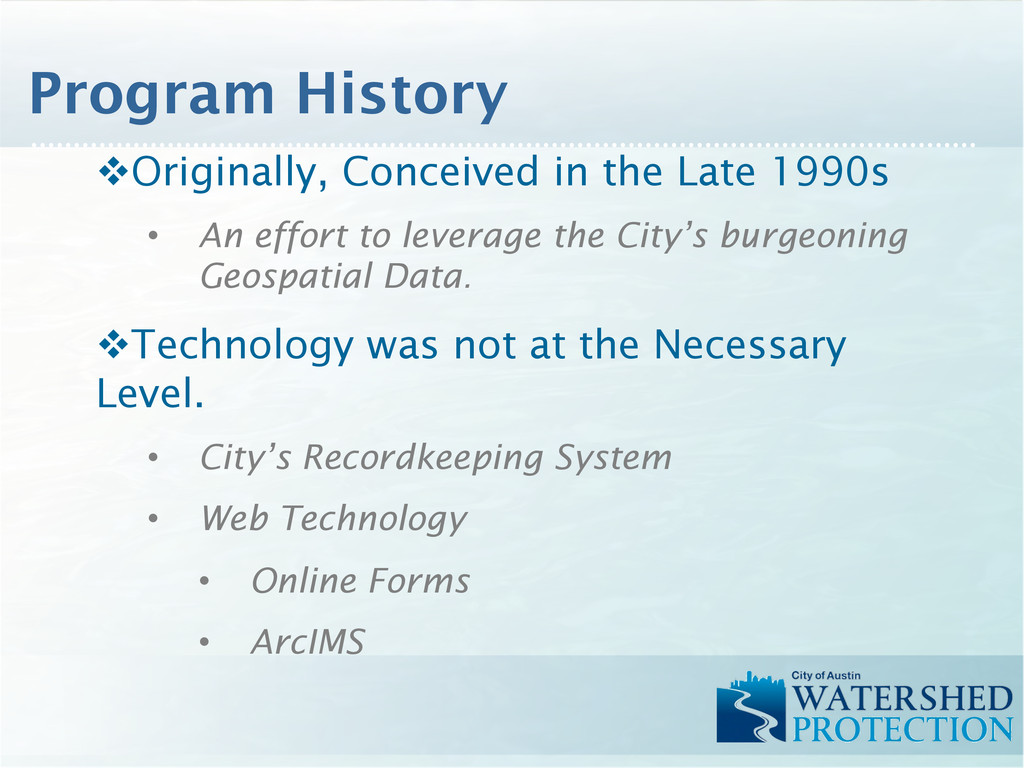
leverage the City’s burgeoning Geospatial Data. v Technology was not at the Necessary Level. • City’s Recordkeeping System • Web Technology • Online Forms • ArcIMS Program History
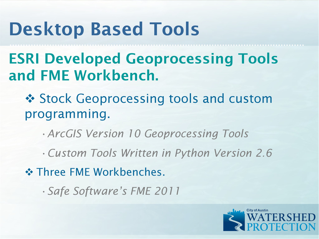
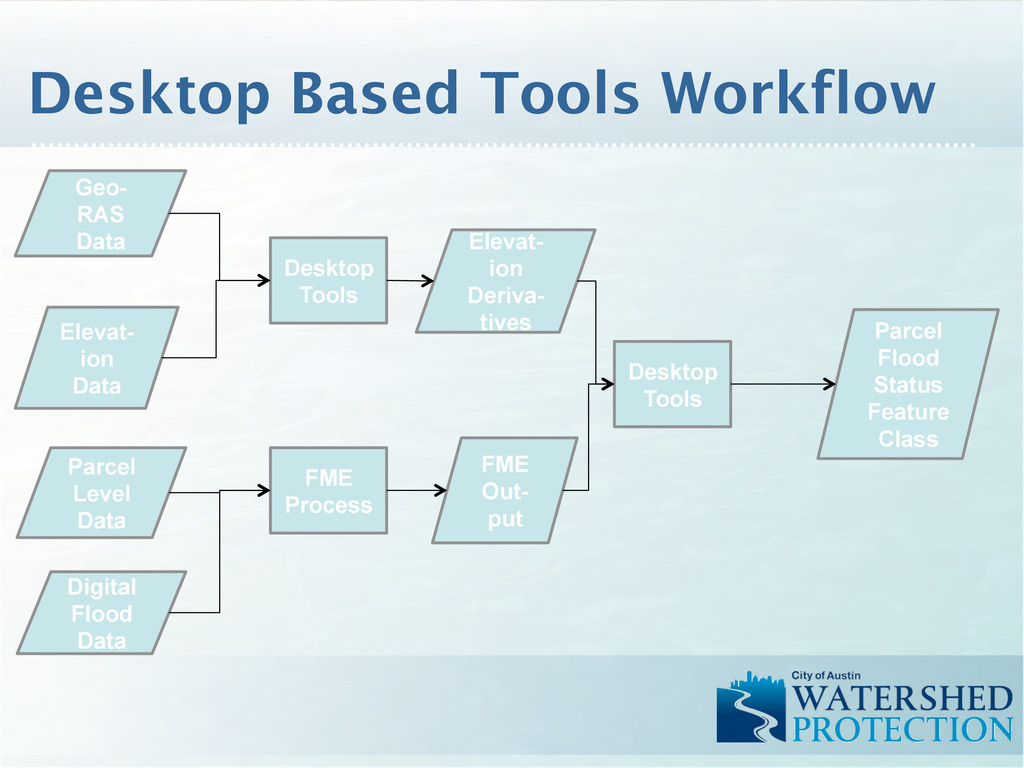
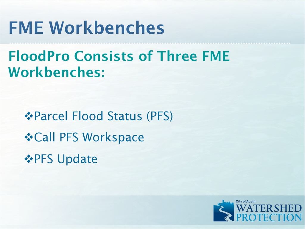
tools and custom programming. • ArcGIS Version 10 Geoprocessing Tools • Custom Tools Written in Python Version 2.6 v Three FME Workbenches. • Safe Software’s FME 2011 Desktop Based Tools
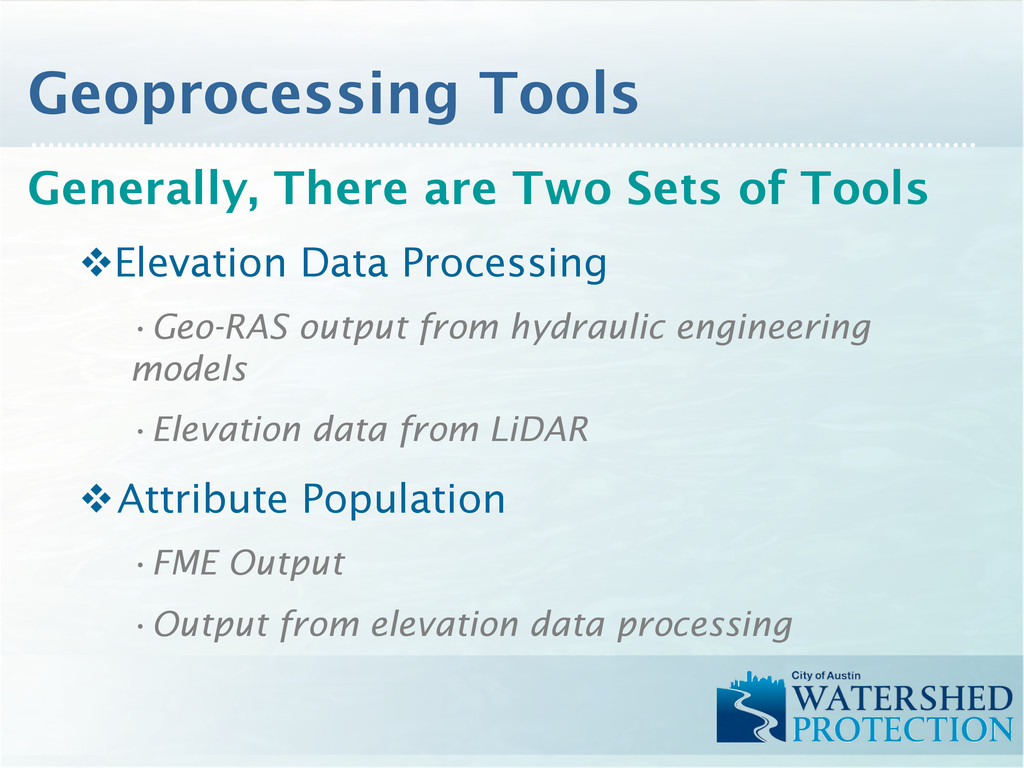
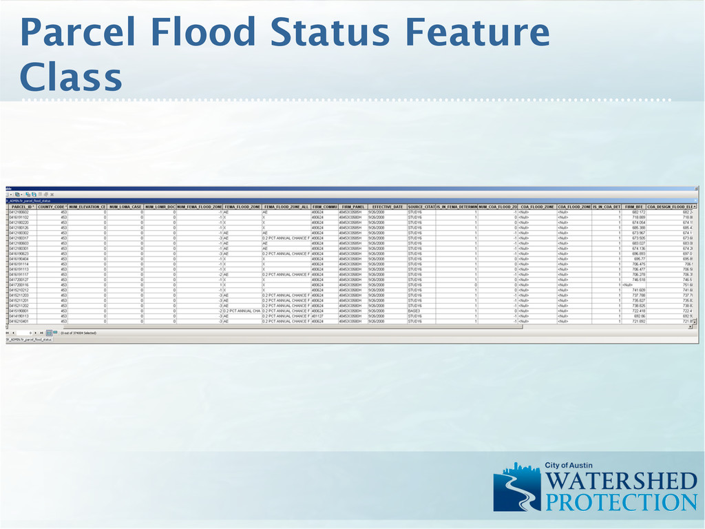
• Geo-RAS output from hydraulic engineering models • Elevation data from LiDAR v Attribute Population • FME Output • Output from elevation data processing Geoprocessing Tools
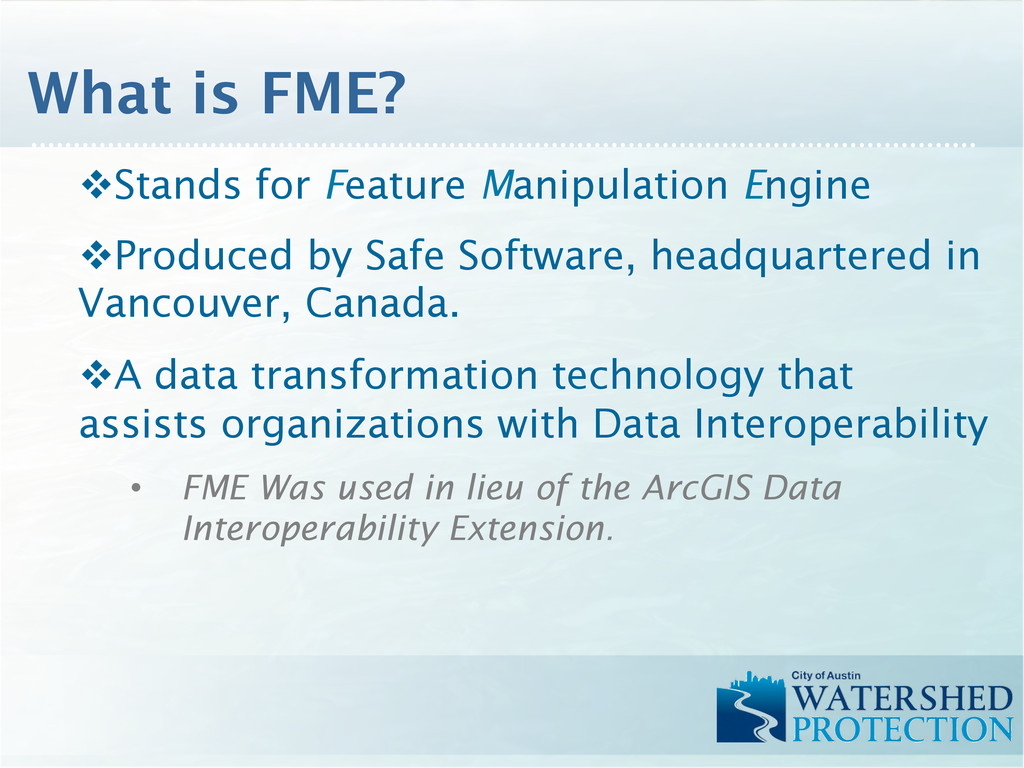
in Vancouver, Canada. v A data transformation technology that assists organizations with Data Interoperability • FME Was used in lieu of the ArcGIS Data Interoperability Extension. What is FME?
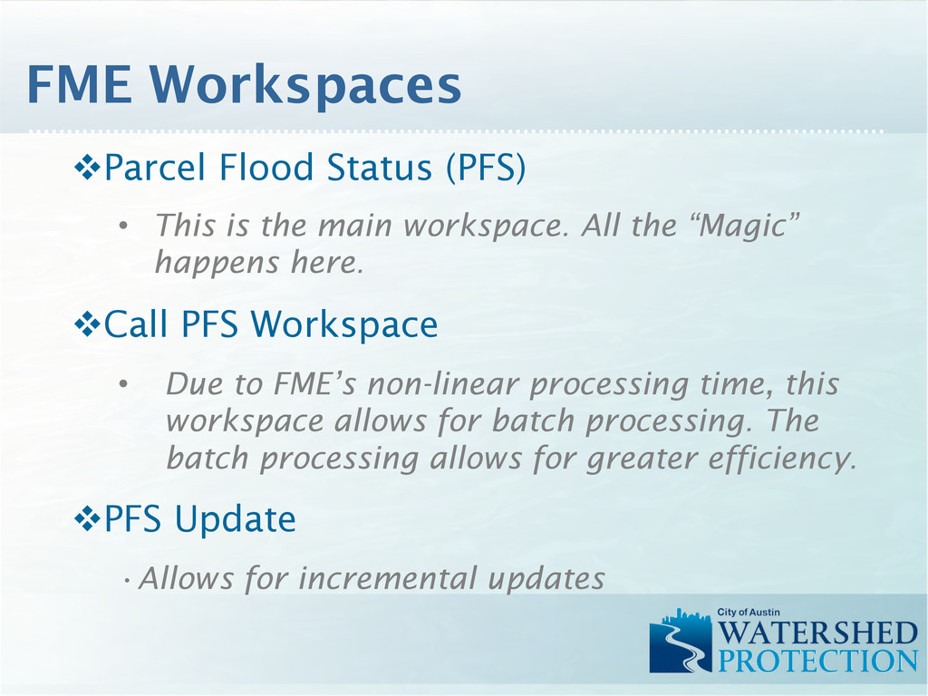
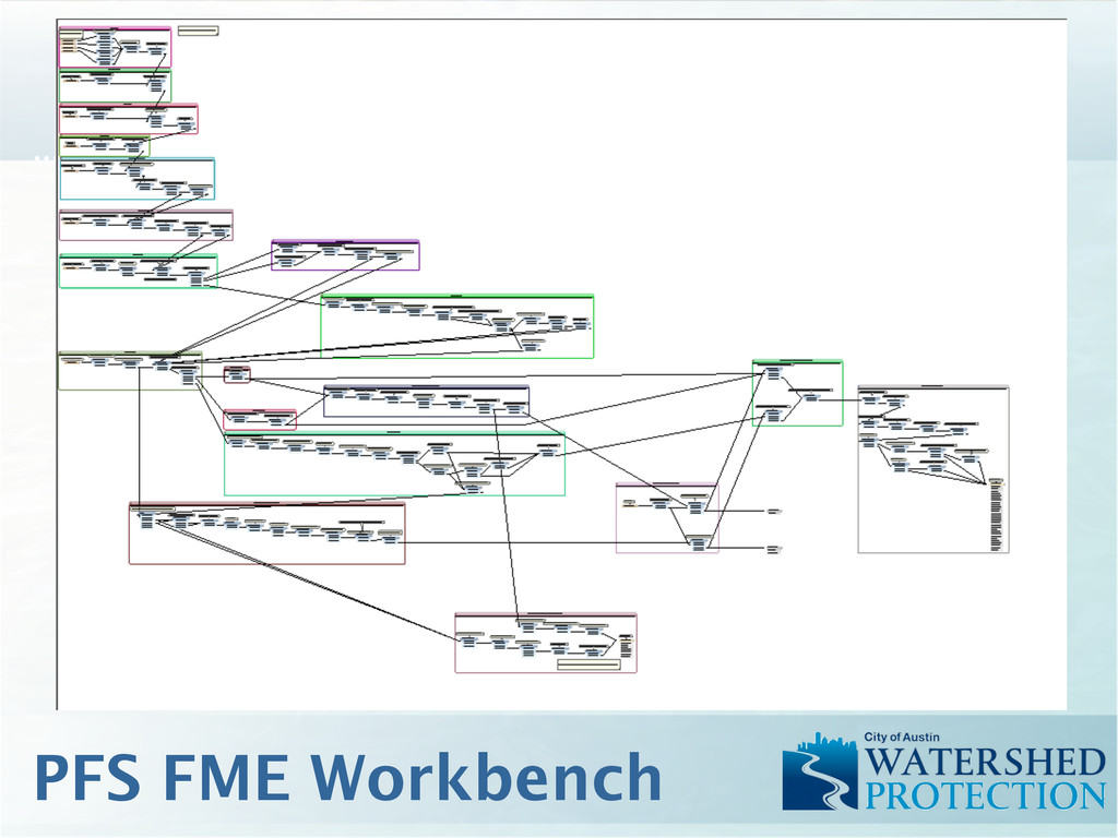
All the “Magic” happens here. v Call PFS Workspace • Due to FME’s non-linear processing time, this workspace allows for batch processing. The batch processing allows for greater efficiency. v PFS Update • Allows for incremental updates FME Workspaces
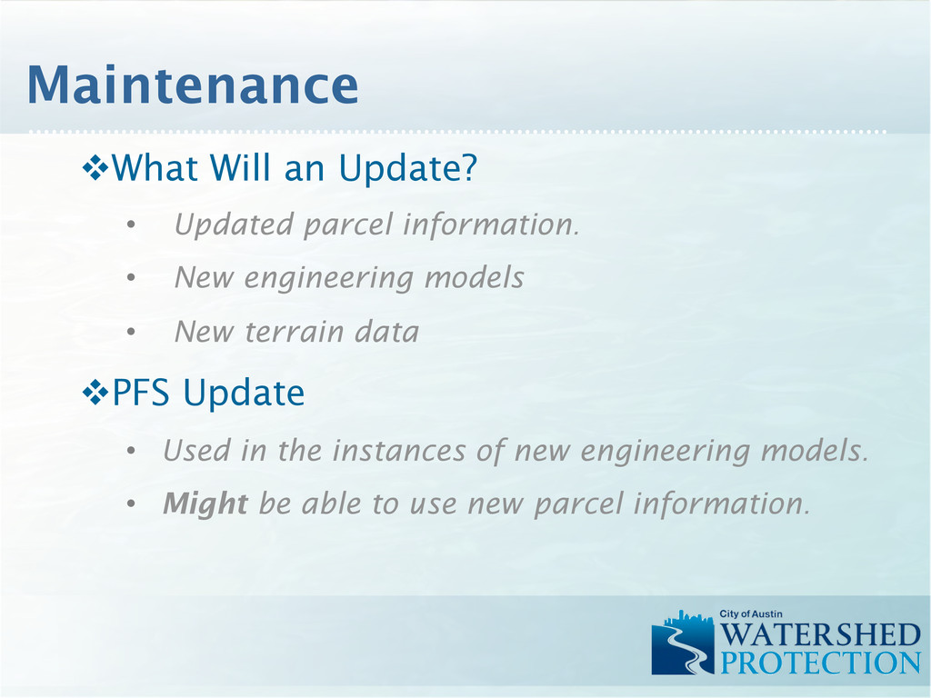
engineering models • New terrain data v PFS Update • Used in the instances of new engineering models. • Might be able to use new parcel information. Maintenance
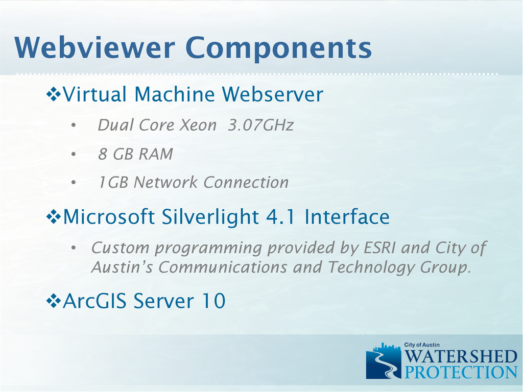
GB RAM • 1GB Network Connection v Microsoft Silverlight 4.1 Interface • Custom programming provided by ESRI and City of Austin’s Communications and Technology Group. v ArcGIS Server 10 Webviewer Components
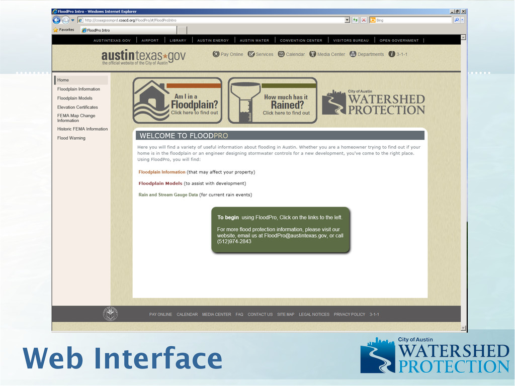
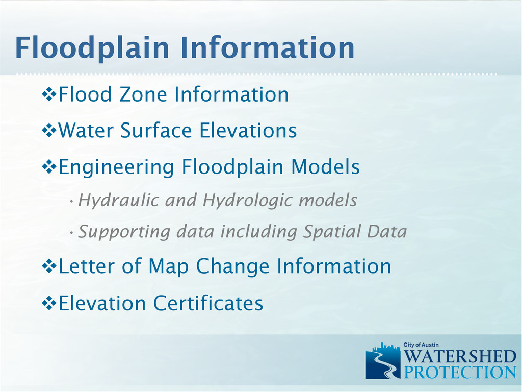
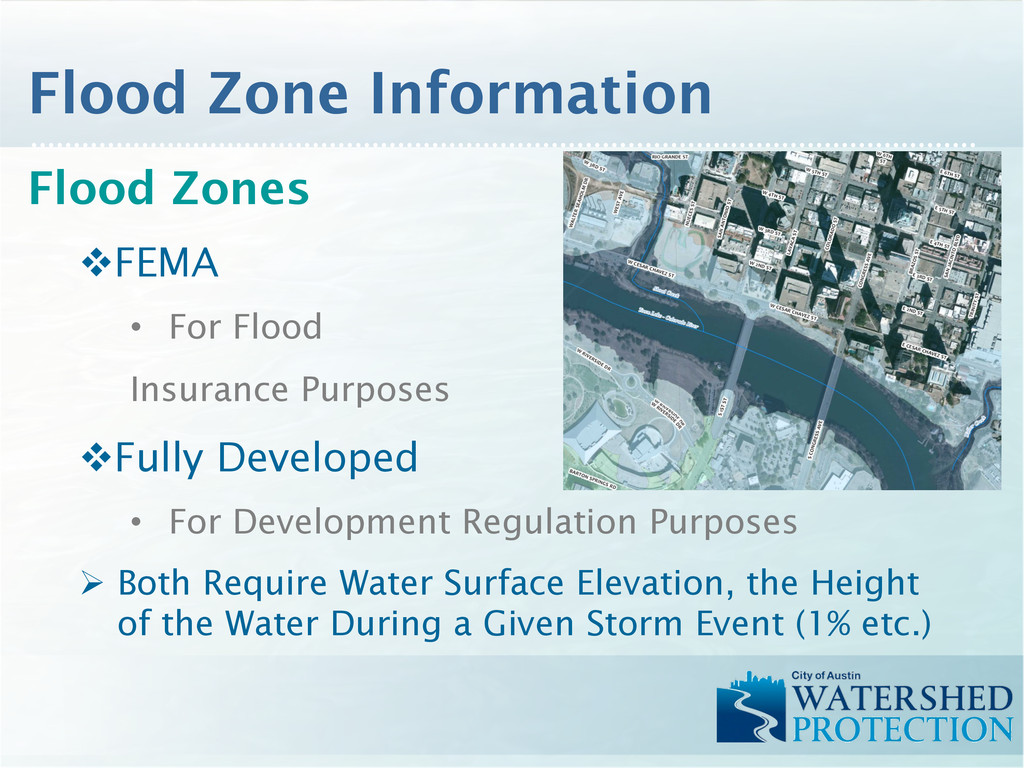
• For Development Regulation Purposes Ø Both Require Water Surface Elevation, the Height of the Water During a Given Storm Event (1% etc.) Flood Zone Information
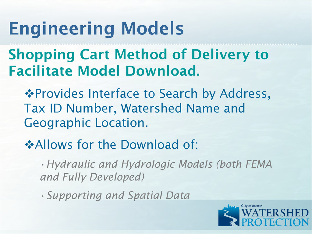
Interface to Search by Address, Tax ID Number, Watershed Name and Geographic Location. v Allows for the Download of: • Hydraulic and Hydrologic Models (both FEMA and Fully Developed) • Supporting and Spatial Data Engineering Models
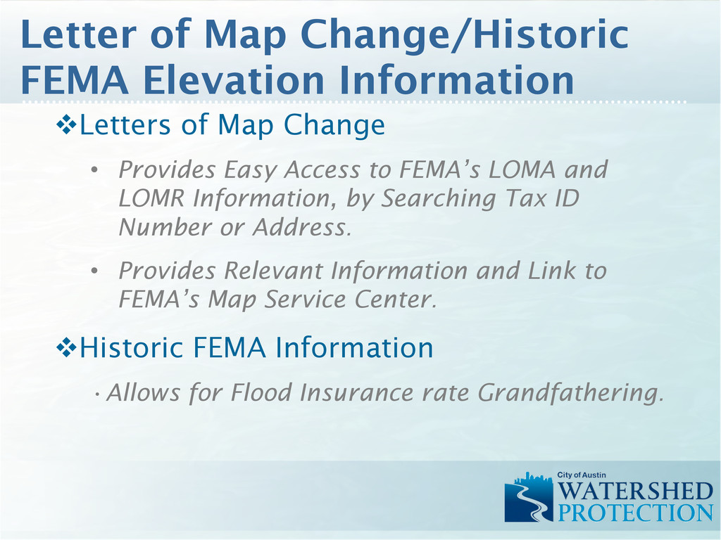
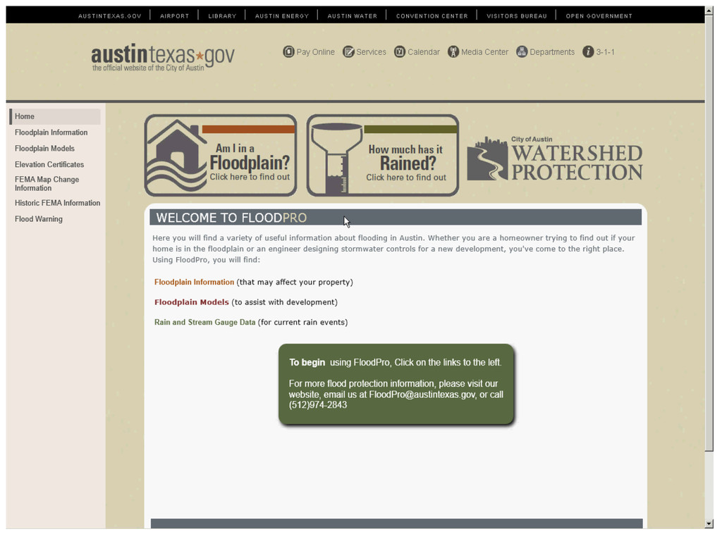
LOMA and LOMR Information, by Searching Tax ID Number or Address. • Provides Relevant Information and Link to FEMA’s Map Service Center. v Historic FEMA Information • Allows for Flood Insurance rate Grandfathering. Letter of Map Change/Historic FEMA Elevation Information
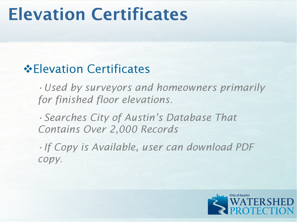
floor elevations. • Searches City of Austin’s Database That Contains Over 2,000 Records • If Copy is Available, user can download PDF copy. Elevation Certificates
to facilitate data delivery. v Streamline workflows for greater efficiencies. v Process automation through batching and scripting. v Technology is always changing. v The end product might not resemble the original vision. v Be flexible. Lessons Learned