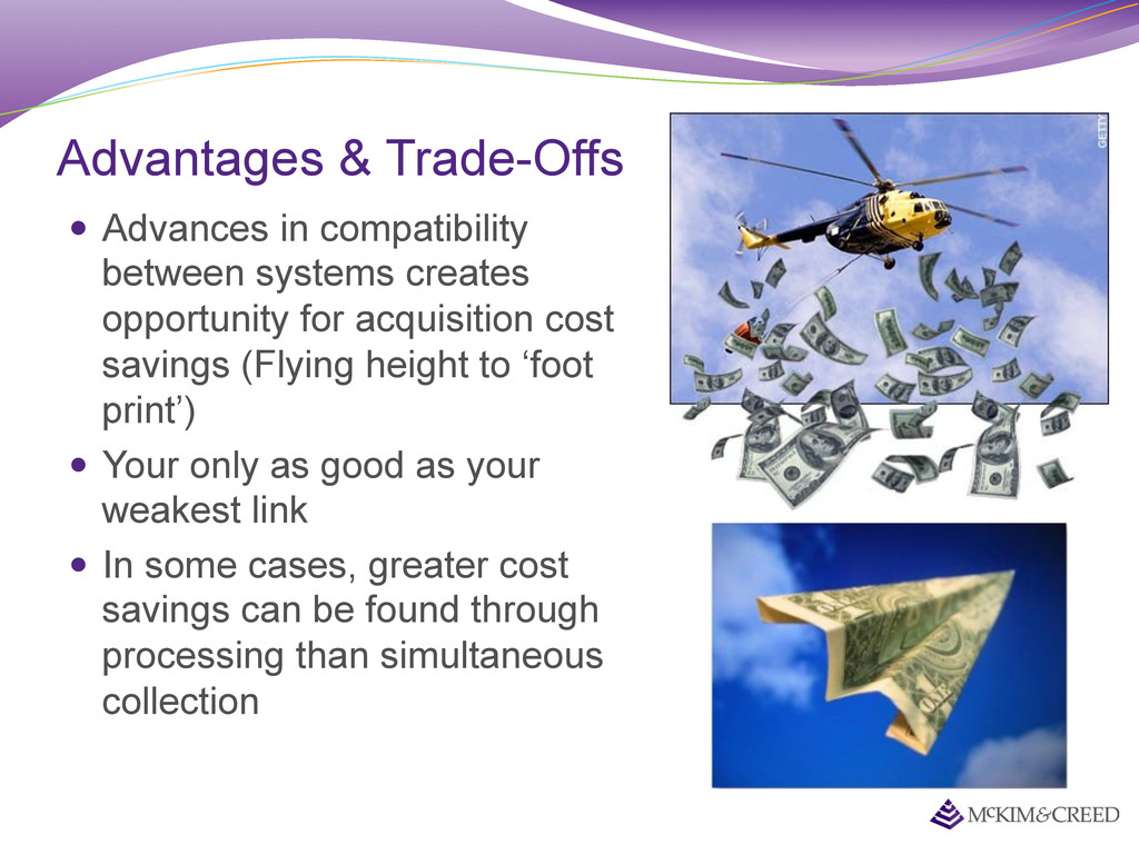
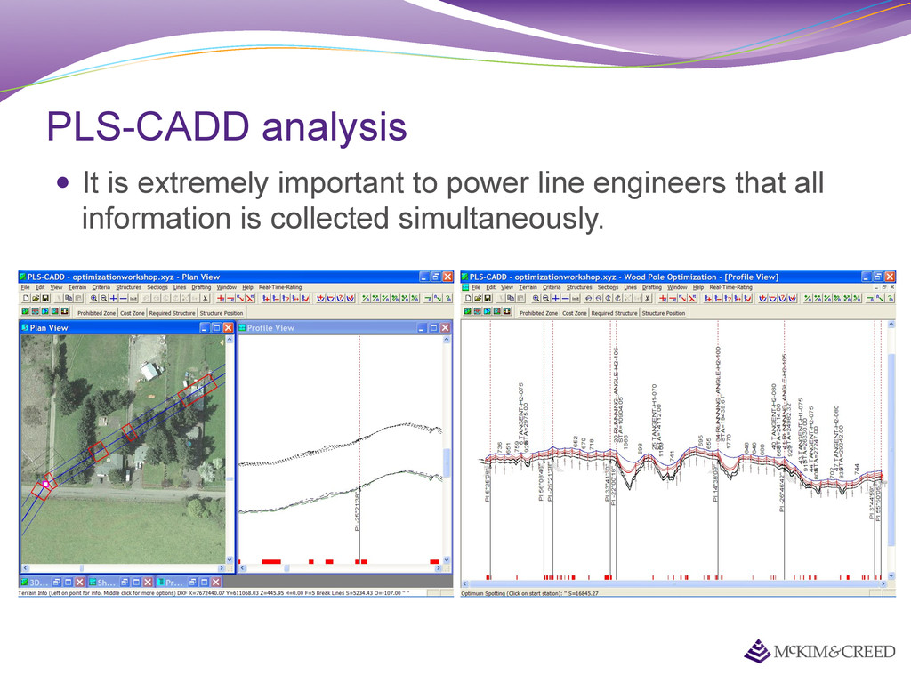
opportunity for acquisition cost savings (Flying height to ‘foot print’) Your only as good as your weakest link In some cases, greater cost savings can be found through processing than simultaneous collection
between $400 and $1,000 an hour to operate. A helicopter can cost $1,000 to $2,000 an hour to operate. A 10 hour mission that requires imagery and LiDAR from a helicopter could save you $20,000 if it was flown at the same time!
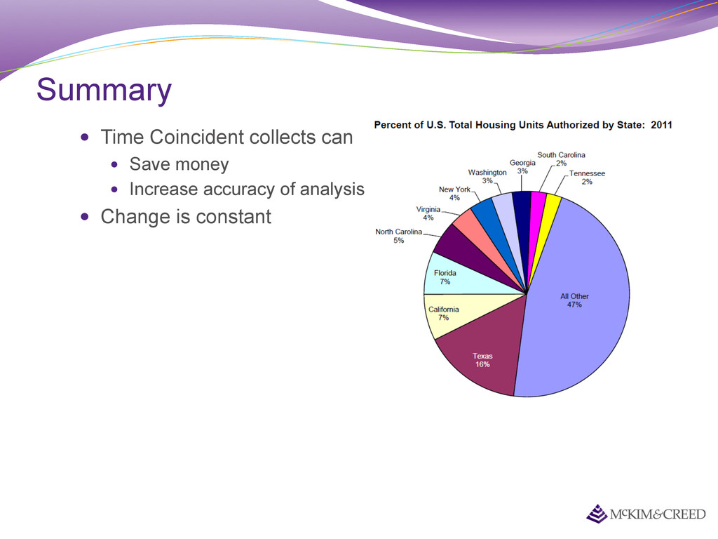
over 20,000 new home permits were filed in the Austin, Texas area! Texas is the fastest developing state Any analysis which requires information from multiple datasets will have an error greater or equal to the amount of change in the different datasets. Source: US Census Bureau
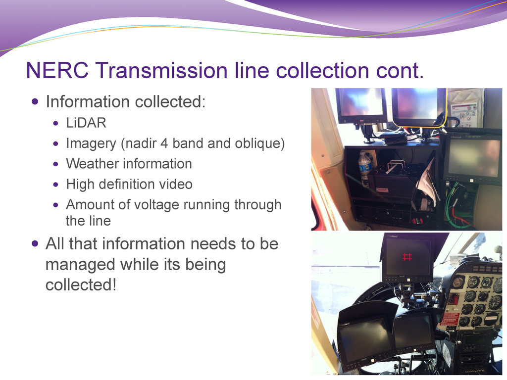
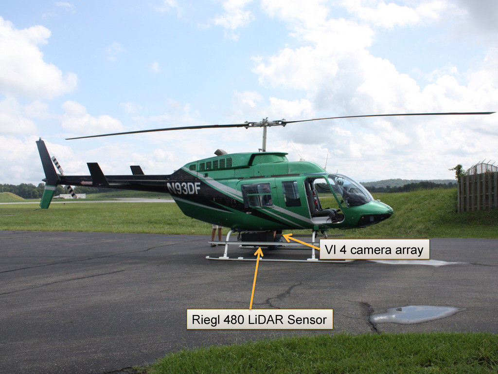
Imagery (nadir 4 band and oblique) Weather information High definition video Amount of voltage running through the line All that information needs to be managed while its being collected!
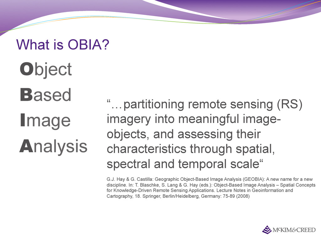
(RS) imagery into meaningful image- objects, and assessing their characteristics through spatial, spectral and temporal scale“ G.J. Hay & G. Castilla: Geographic Object-Based Image Analysis (GEOBIA): A new name for a new discipline. In: T. Blaschke, S. Lang & G. Hay (eds.): Object-Based Image Analysis – Spatial Concepts for Knowledge-Driven Remote Sensing Applications. Lecture Notes in Geoinformation and Cartography, 18. Springer, Berlin/Heidelberg, Germany: 75-89 (2008)