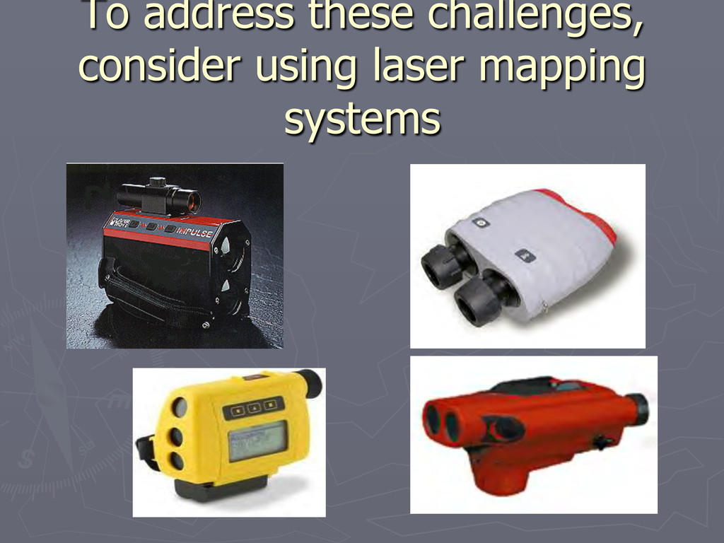
have started taking pictures for features ► That means ► So in addition to a GPS and a LASER you have to take a camera also. In newer PDA’S the camera is built in
are now available also. ► BUT ► No distance readings are available so one has to carry a laser distance device. ► GPS accuracy on the camera is not mapping grade, so you have take another GPS receiver
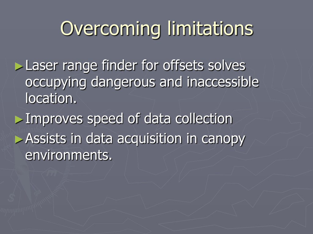
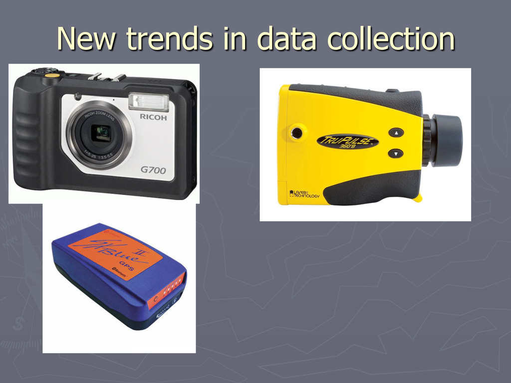
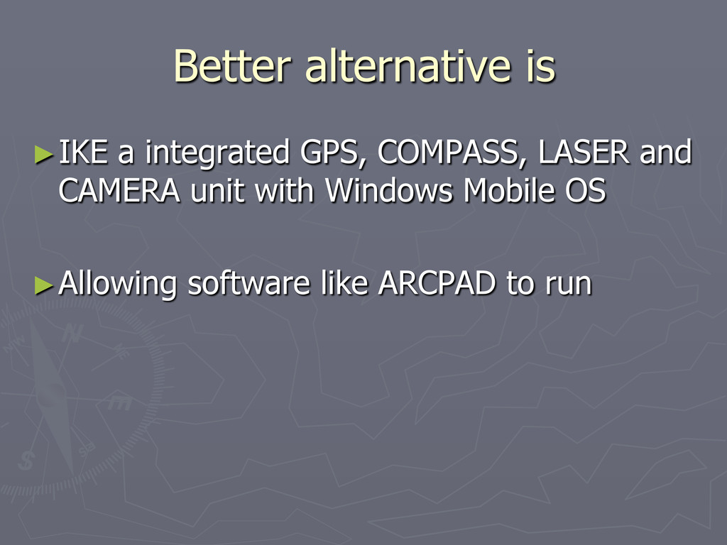
worked well and professionals are using it but the big limitation is having to carry several units which adds to the weight and involves additional batteries, cables etc.
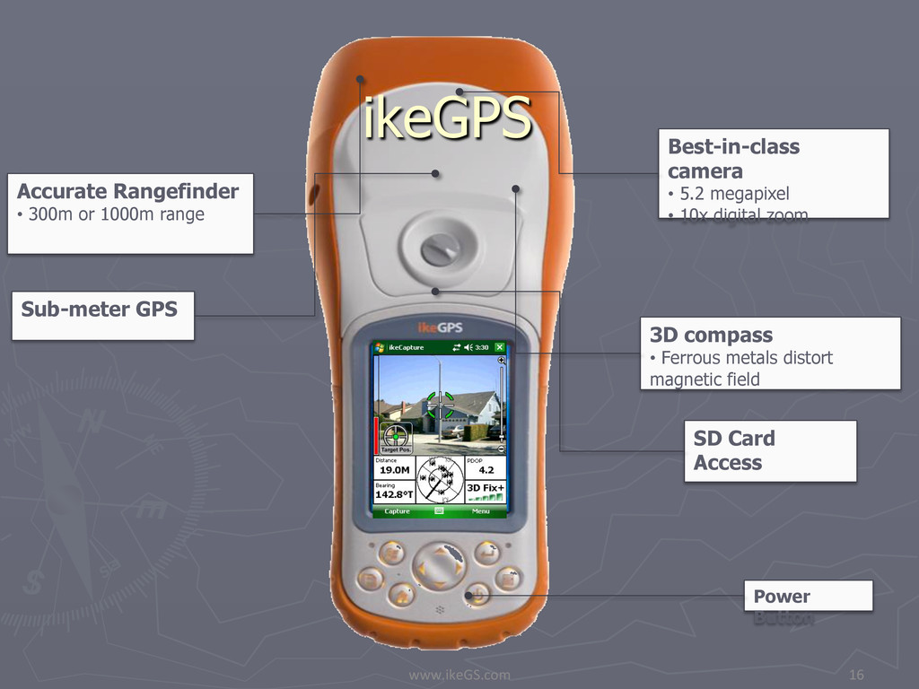
compass • Ferrous metals distort magnetic field Accurate Rangefinder • 300m or 1000m range Best-in-class camera • 5.2 megapixel • 10x digital zoom SD Card Access Power Button
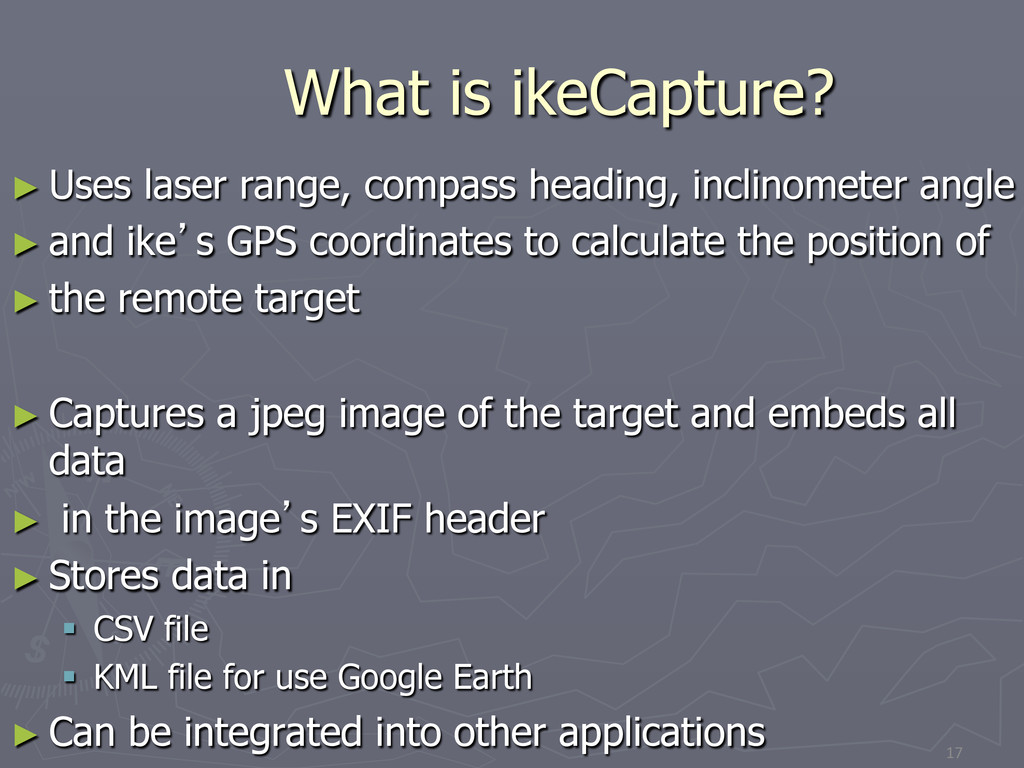
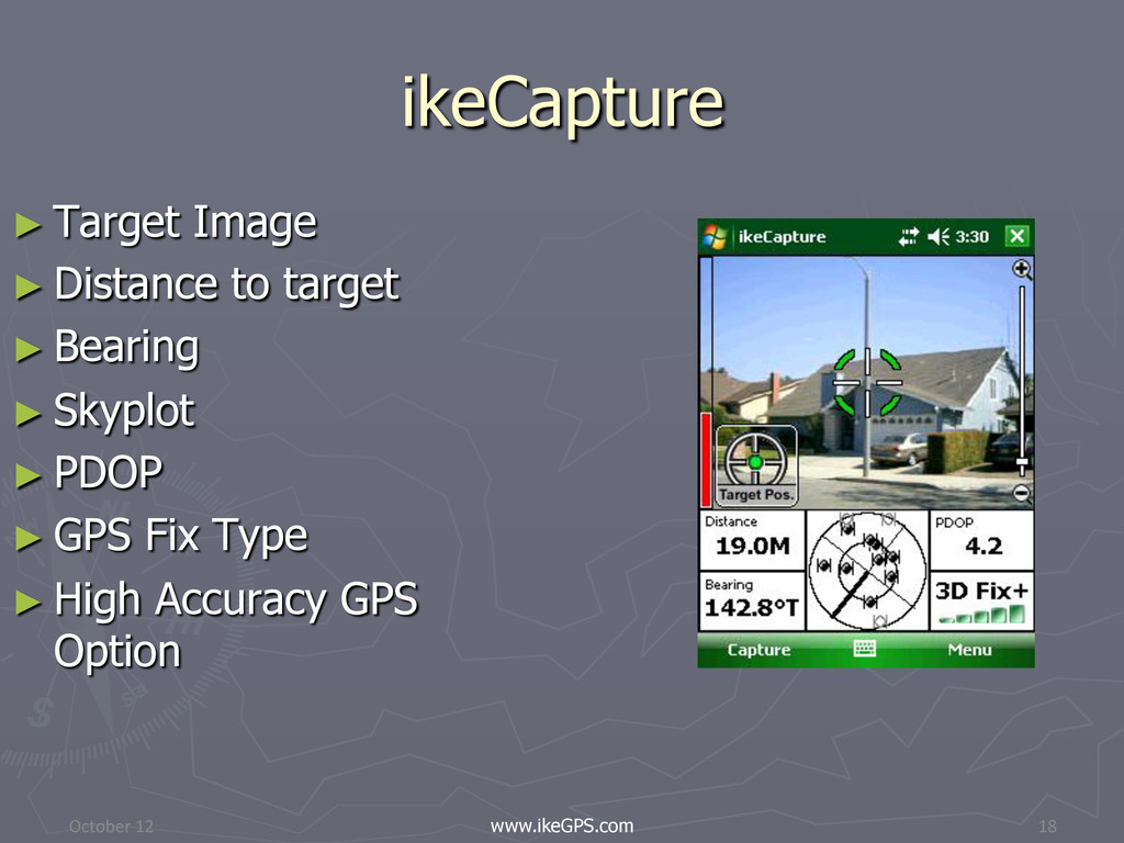
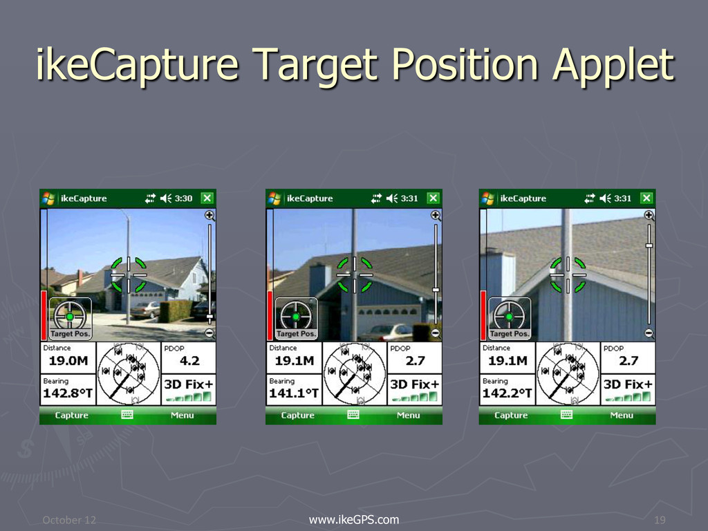
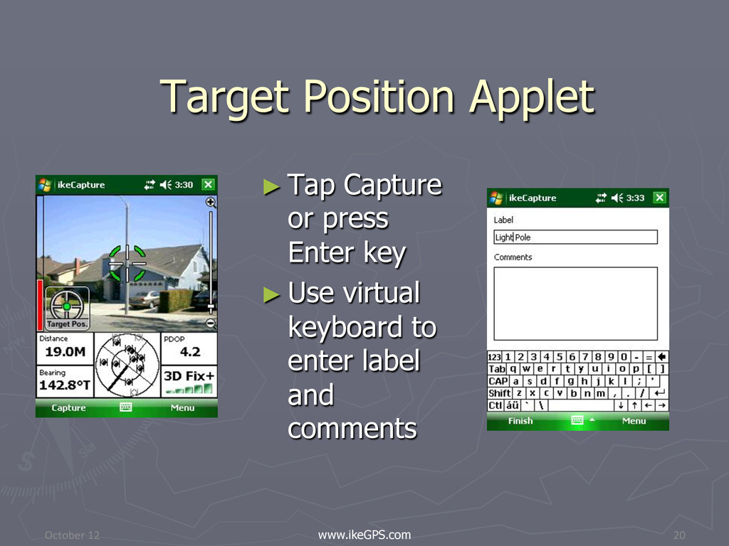
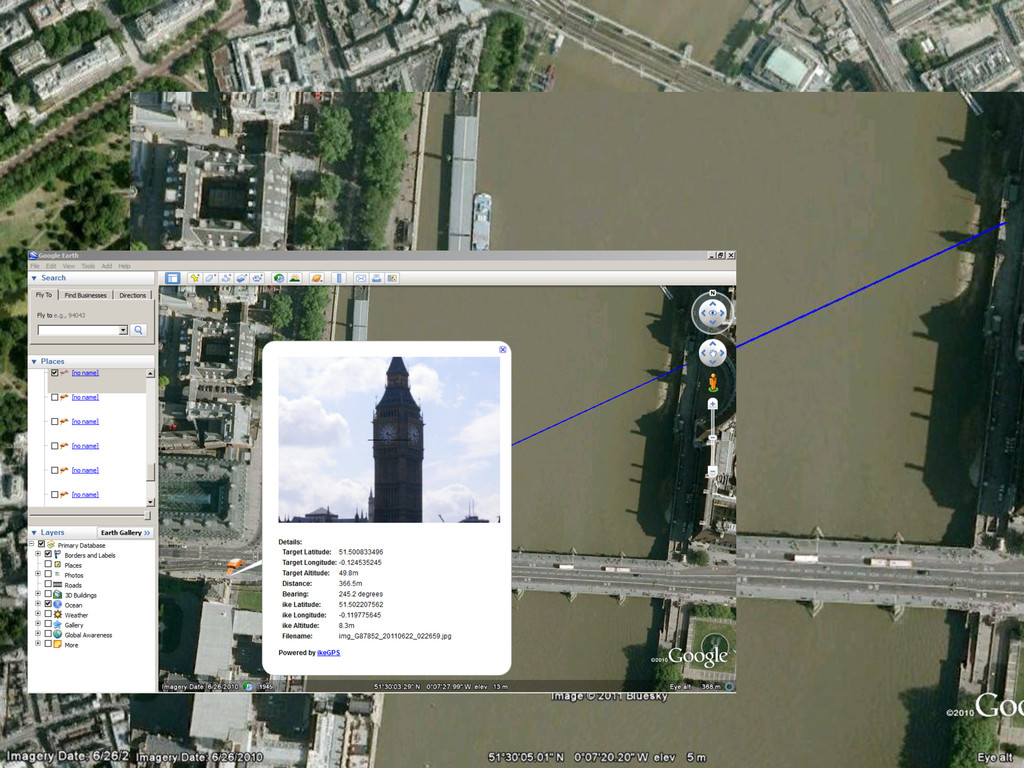
► and ike’s GPS coordinates to calculate the position of ► the remote target ► Captures a jpeg image of the target and embeds all data ► in the image’s EXIF header ► Stores data in § CSV file § KML file for use Google Earth ► Can be integrated into other applications 17
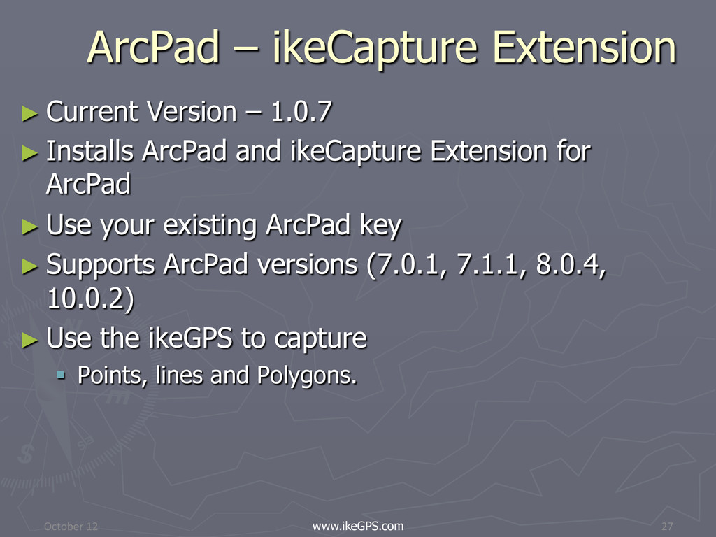
and ikeCapture Extension for ArcPad ► Use your existing ArcPad key ► Supports ArcPad versions (7.0.1, 7.1.1, 8.0.4, 10.0.2) ► Use the ikeGPS to capture § Points, lines and Polygons. October 12 www.ikeGPS.com 27
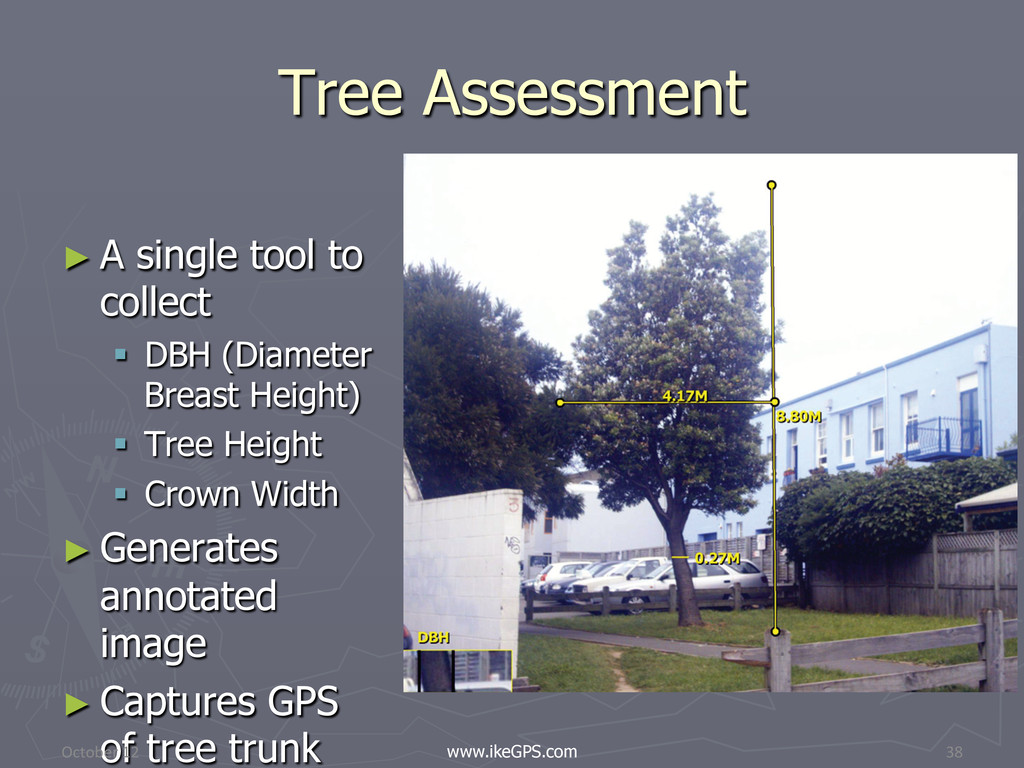
§ Tree Height § Crown Width ► Generates annotated image ► Captures GPS of tree trunk 7 Step workflow 1. Capture Base elevation 2. Tree trunk 3. Top of tree 4. Left side of crown 5. Right side of crown 6. Mark Trunk edges 7. Centered image October 12 www.ikeGPS.com 38 Tree Assessment
![Contact ► Ashok Wadwani ► AFDS ► 281 579 0492 ► [email protected]](https://files.speakerdeck.com/presentations/509049127536e50002011cba/slide_40.jpg)