computing – Resources, software, and or information is shared over arrays of hardware. • At H-‐GAC, we utilize the ArcGIS Online cloud to: – Distribute and update the regional GIS datasets. – Share GIS data with the GIS community and the general public. Texas GIS Forum 2012
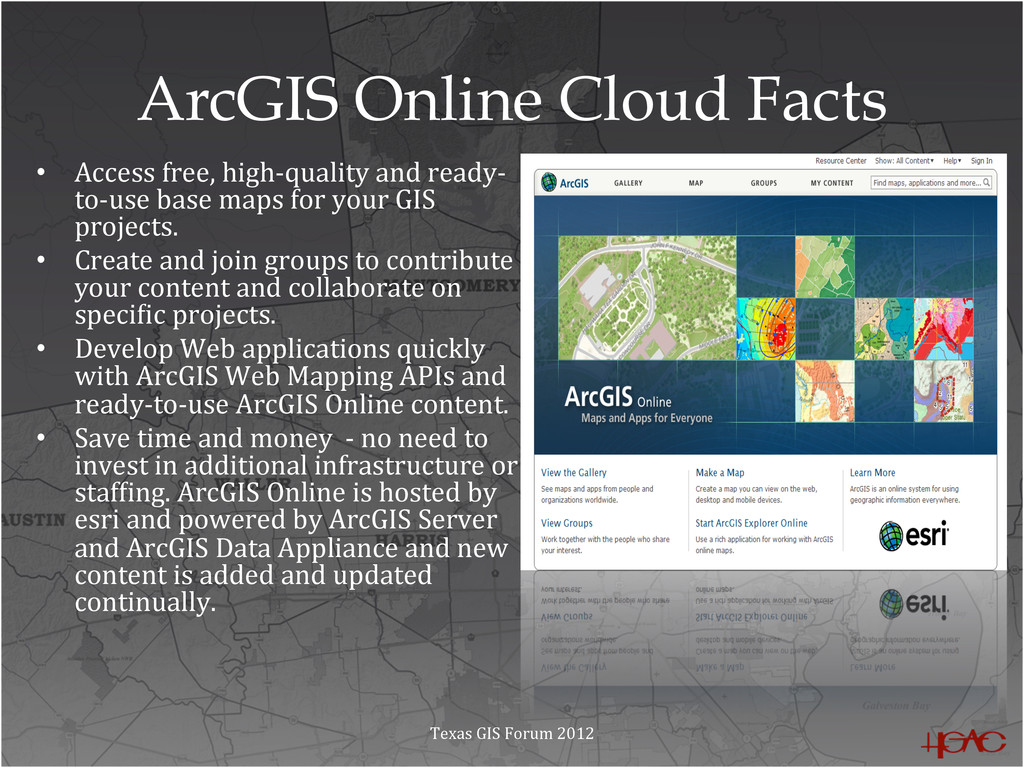
to-‐use base maps for your GIS projects. • Create and join groups to contribute your content and collaborate on speciMic projects. • Develop Web applications quickly with ArcGIS Web Mapping APIs and ready-‐to-‐use ArcGIS Online content. • Save time and money -‐ no need to invest in additional infrastructure or stafMing. ArcGIS Online is hosted by esri and powered by ArcGIS Server and ArcGIS Data Appliance and new content is added and updated continually. Texas GIS Forum 2012
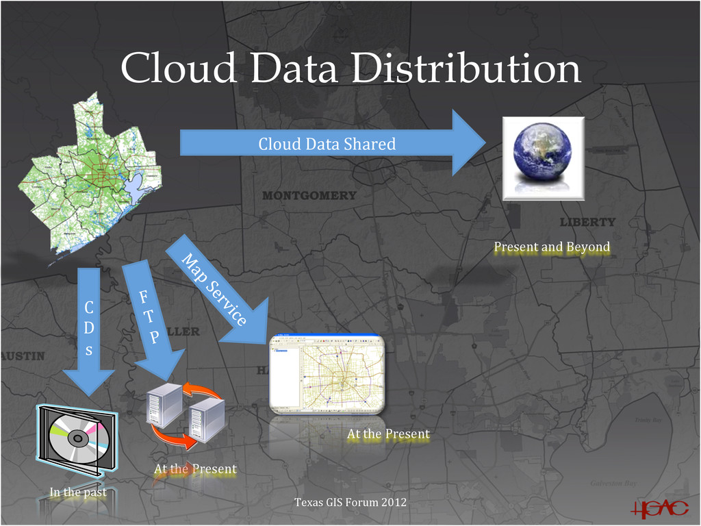
by esri, are a nearly perfect vehicle for sharing your GIS data directly with the rest of the geographic community – No more emailing, zip files, hard drives, or DVDs. How can the GIS community find your services? • Upload or Share Data – Upload layer packages or share ArcGIS Server services. • Share your services or layer packages with groups or globally. • Create your own group and invite users. Texas GIS Forum 2012
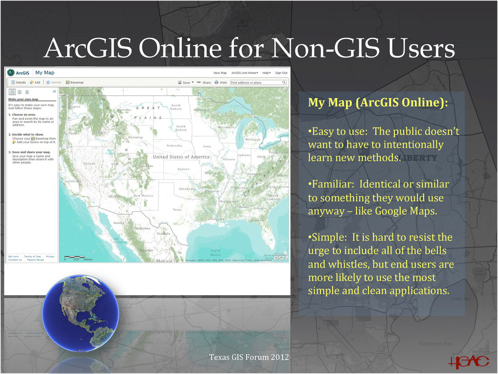
• Easy to use: The public doesn’t want to have to intentionally learn new methods. • Familiar: Identical or similar to something they would use anyway – like Google Maps. • Simple: It is hard to resist the urge to include all of the bells and whistles, but end users are more likely to use the most simple and clean applications. Texas GIS Forum 2012
computing trends. • More accurate and up-‐to-‐date layers being held in the cloud • The ability to allow editing of GIS data while in the cloud • More cloud computing connections to other social media like LinkedIn and FaceBook • One of H-‐GAC’s GIS missions is to provide GIS data to public and private entities making for a higher quality of life for the region. One tool that will be utilized at present and on into the future is cloud-‐based GIS computing. Texas GIS Forum 2012