about web mapping Final project video prompt will be posted by 8AM on November 30th What’s coming up? When’s it due? This week’s lab Web mapping using RStudio November 30th note date December 4th by 5pm (hard deadline)
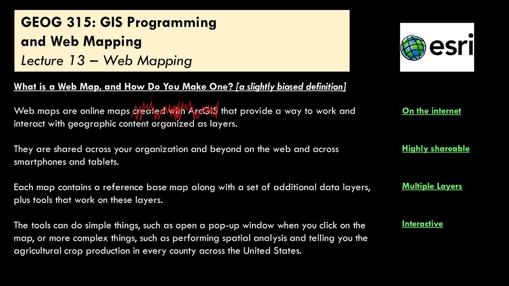
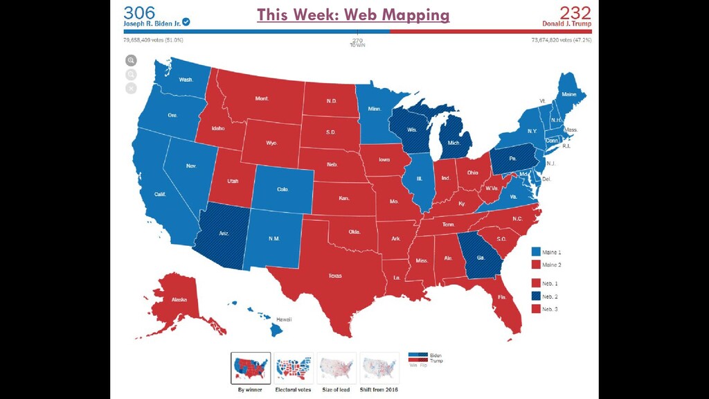
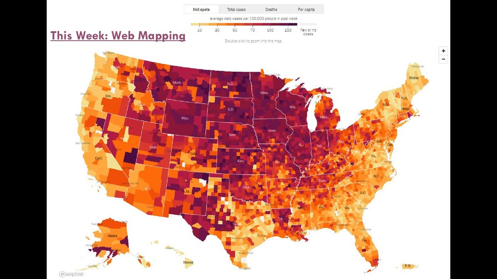
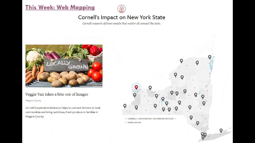
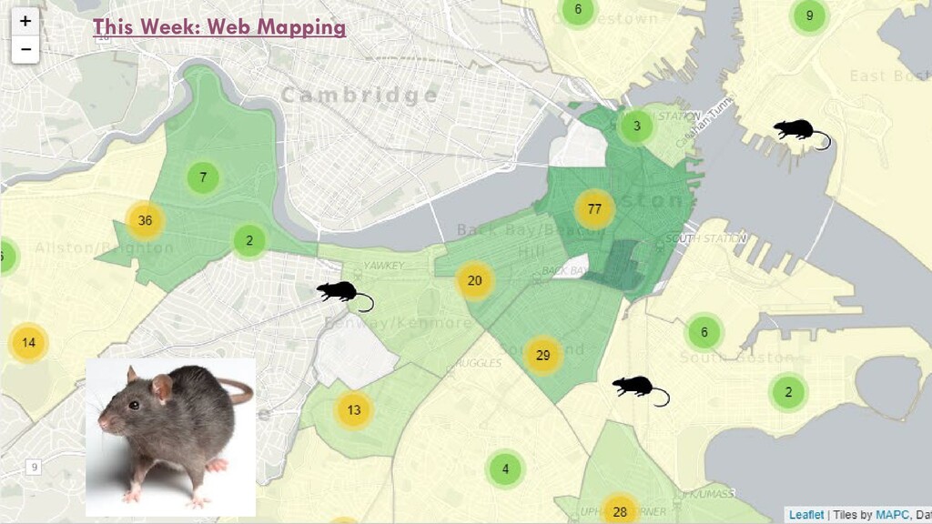
Web Mapping What is a Web Map, and How Do You Make One? [a slightly biased definition] Web maps are online maps created with ArcGIS that provide a way to work and interact with geographic content organized as layers. They are shared across your organization and beyond on the web and across smartphones and tablets. Each map contains a reference base map along with a set of additional data layers, plus tools that work on these layers. The tools can do simple things, such as open a pop-up window when you click on the map, or more complex things, such as performing spatial analysis and telling you the agricultural crop production in every county across the United States. Highly shareable Multiple Layers Interactive On the internet
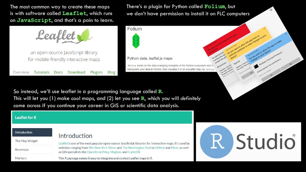
software called Leaflet, which runs on JavaScript, and that’s a pain to learn. There’s a plugin for Python called Folium, but we don’t have permission to install it on FLC computers So instead, we’ll use leaflet in a programming language called R. This will let you (1) make cool maps, and (2) let you see R, which you will definitely come across if you continue your career in GIS or scientific data analysis.
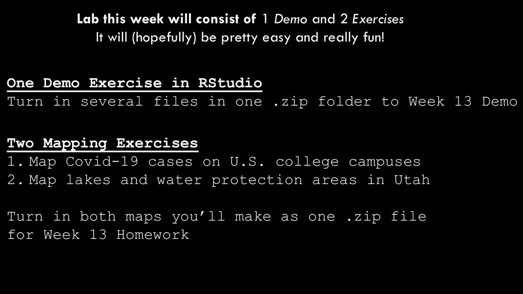
Exercises It will (hopefully) be pretty easy and really fun! Two Mapping Exercises 1. Map Covid-19 cases on U.S. college campuses 2. Map lakes and water protection areas in Utah Turn in both maps you’ll make as one .zip file for Week 13 Homework One Demo Exercise in RStudio Turn in several files in one .zip folder to Week 13 Demo