Upgrade to Pro — share decks privately, control downloads, hide ads and more …

Update from CIFOR’s GIS unit

CGIAR-CSI
September 23, 2014
86

Update from CIFOR’s GIS unit

CGIAR-CSI

September 23, 2014
Tweet

Transcript

  1. Research on deforestation and oil palm expansion in Indonesia


    Research on fire and haze in SEA
 
 Make CIFOR compliant with CGIAR’s Open Acess and Data Management
 
 Provide GIS support to CIFOR’s projects around the world
  2. 
 
 We map:
 
 forest
 burned areas
 oil palm

    and timber plantations
 
 We map changes in forest cover and land use
 e.g. forest to savanna by fire, forest to plantations
 
 We map degraded lands and whether they regenerate or whether they become agriculture.
 

  3. 
 
 We primarily use LANDSAT (40 years)
 
 We

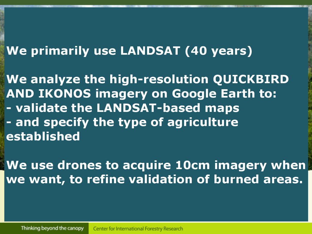
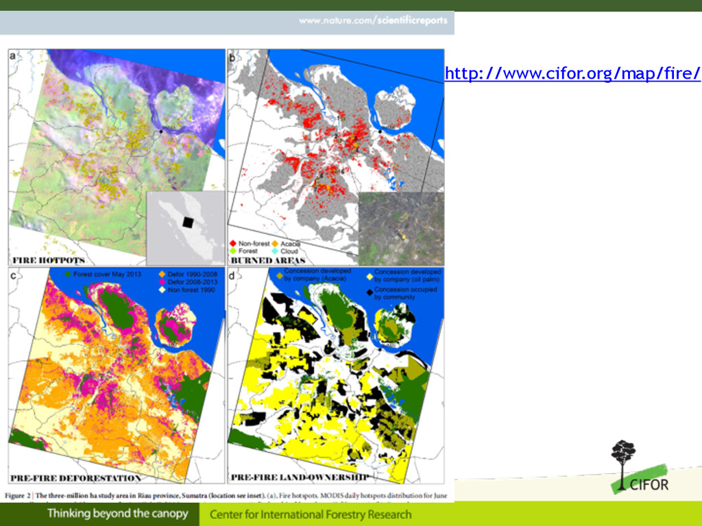
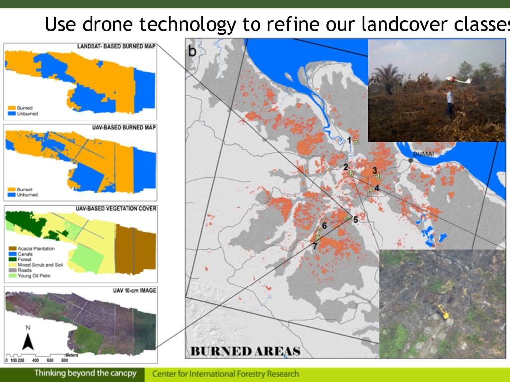
    analyze the high-resolution QUICKBIRD AND IKONOS imagery on Google Earth to:
 - validate the LANDSAT-based maps
 - and specify the type of agriculture established
 
 We use drones to acquire 10cm imagery when we want, to refine validation of burned areas.
 

  4. 57% of burned ‘non-forest’ areas were ‘forest cemeteries’: i.e. a

    mosaic of scrub&exposed soil, with stumps, downed trunks and branches