Slides for Lecture 12 of the Saint Louis University Course Introduction to GIS. These slides introduce concepts related to geoprocessing data, including select by area, clip, and dissolve operations.
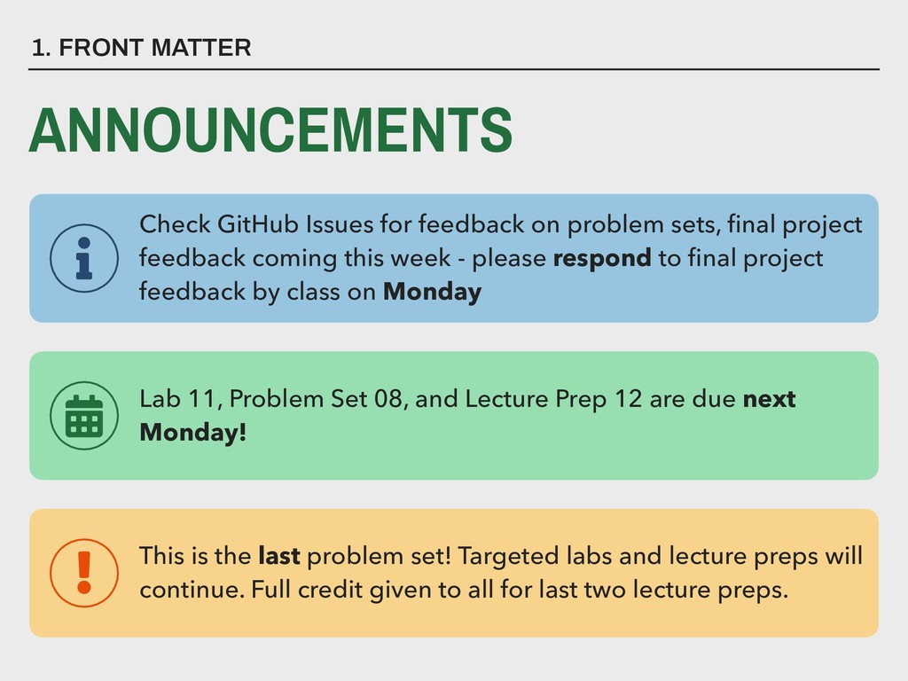
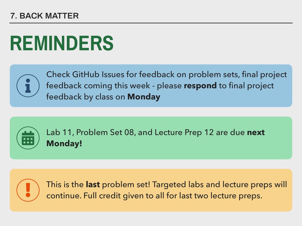
Lecture Prep 12 are due next Monday! This is the last problem set! Targeted labs and lecture preps will continue. Full credit given to all for last two lecture preps. Check GitHub Issues for feedback on problem sets, final project feedback coming this week - please respond to final project feedback by class on Monday
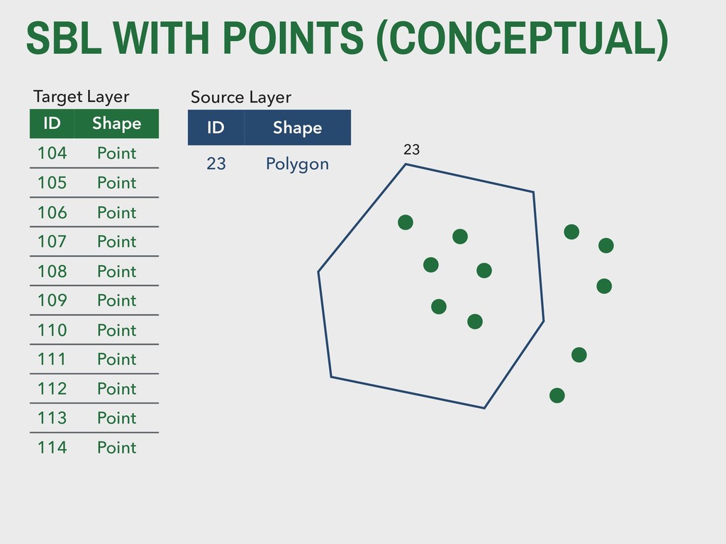
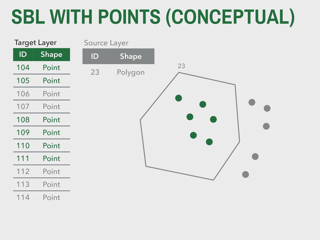
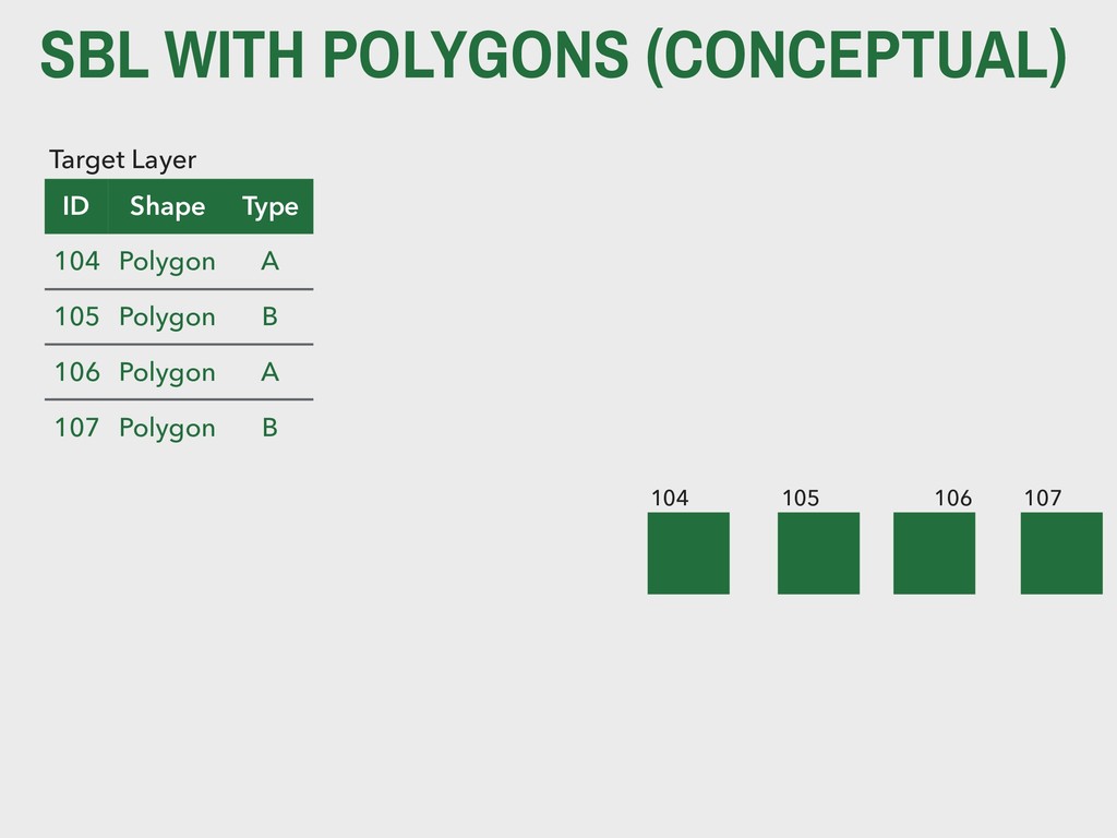
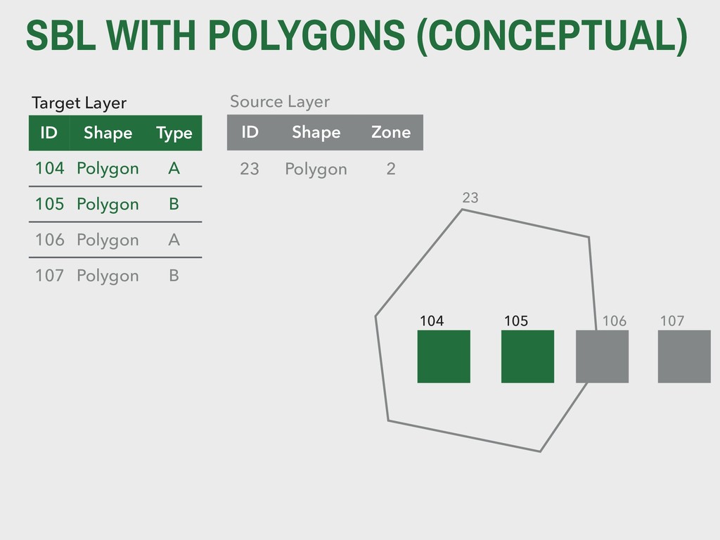
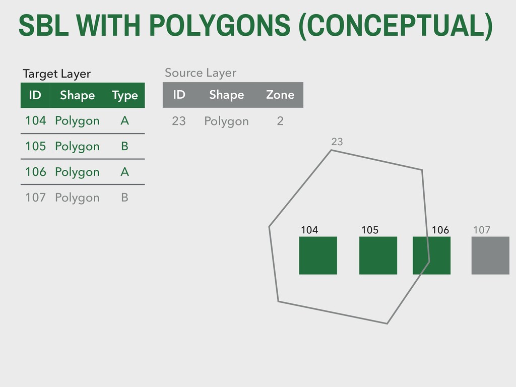
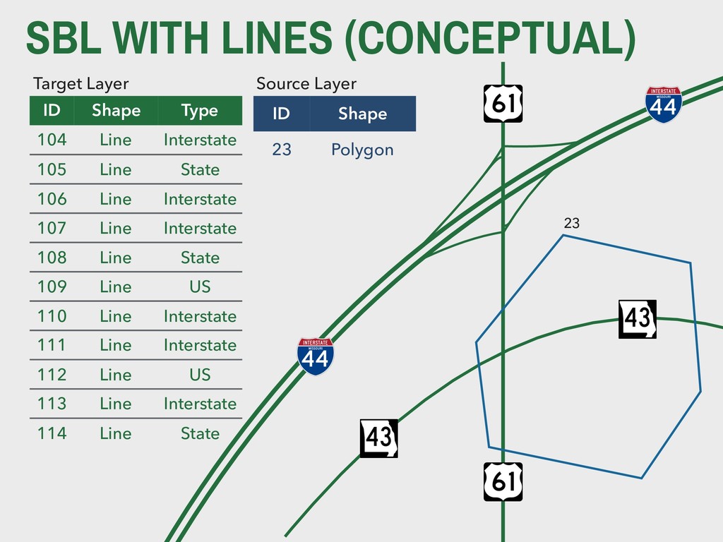
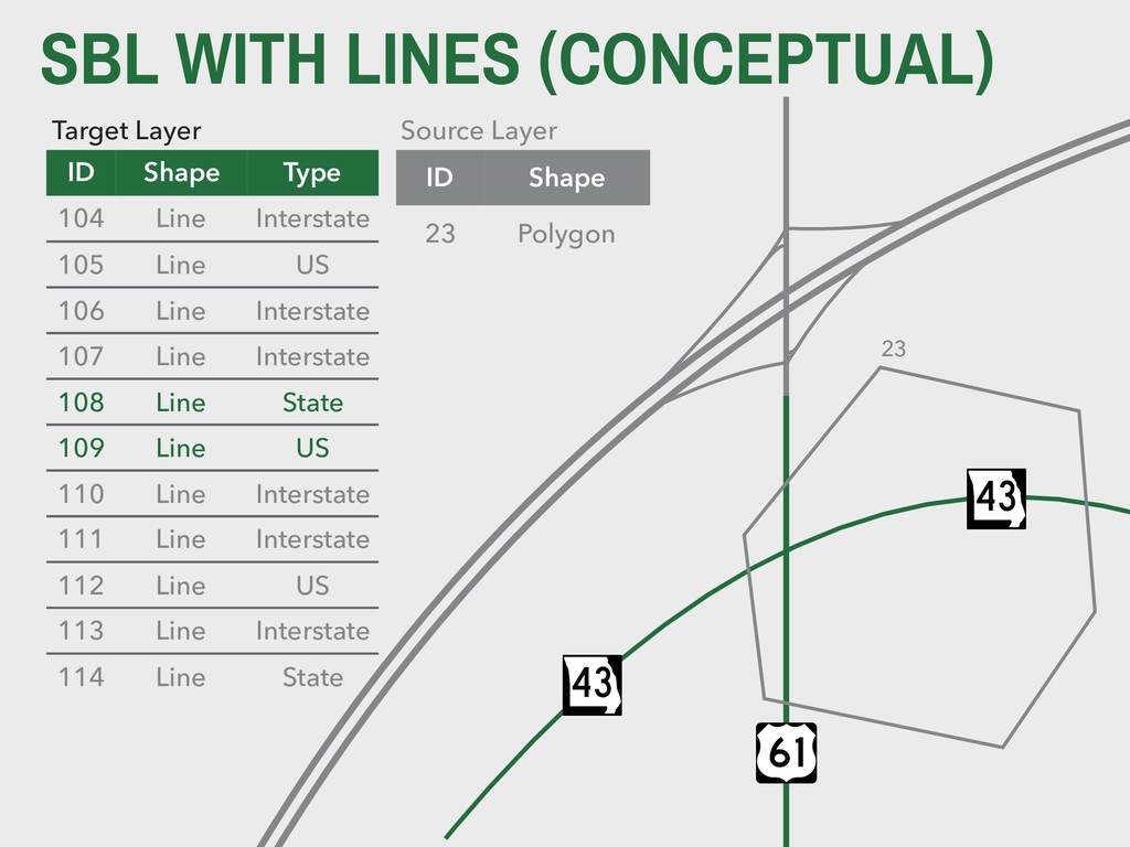
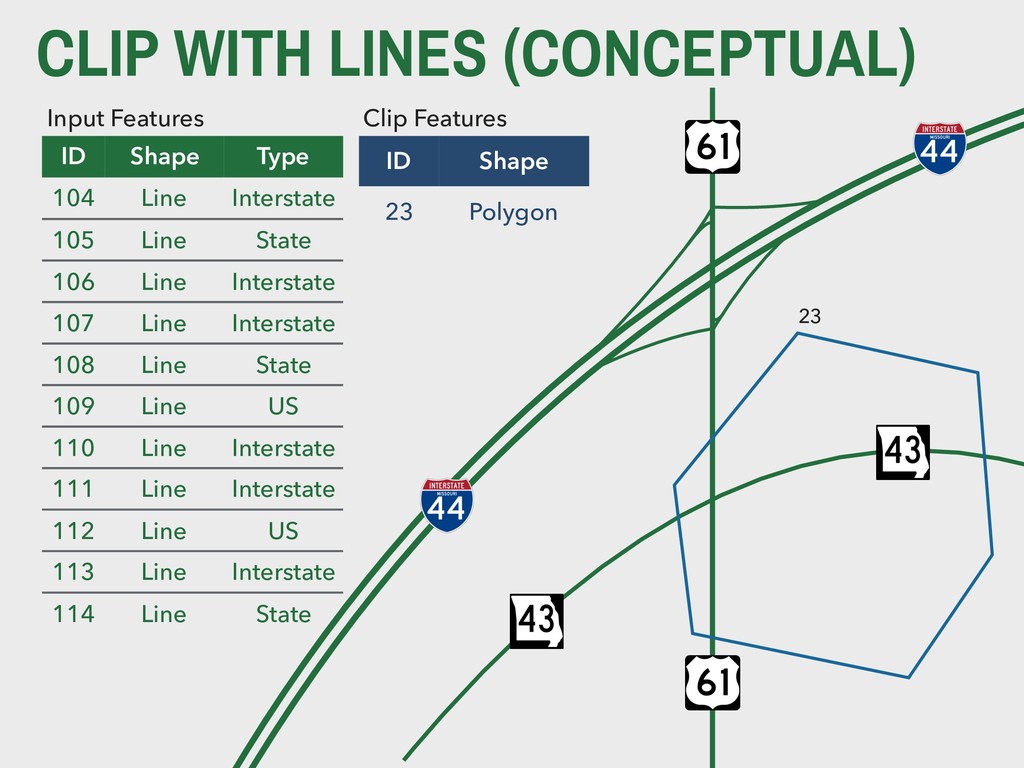
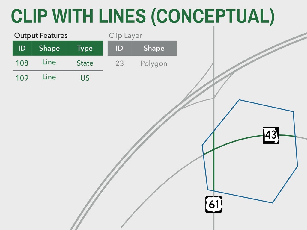
Line Interstate 105 Line State 106 Line Interstate 107 Line Interstate 108 Line State 109 Line US 110 Line Interstate 111 Line Interstate 112 Line US 113 Line Interstate 114 Line State ID Shape 23 Polygon Source Layer 23
Line Interstate 105 Line US 106 Line Interstate 107 Line Interstate 108 Line State 109 Line US 110 Line Interstate 111 Line Interstate 112 Line US 113 Line Interstate 114 Line State ID Shape 23 Polygon Source Layer 23
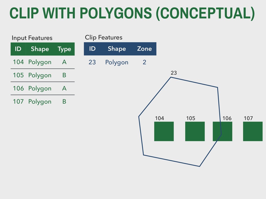
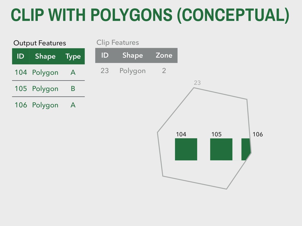
Line Interstate 105 Line State 106 Line Interstate 107 Line Interstate 108 Line State 109 Line US 110 Line Interstate 111 Line Interstate 112 Line US 113 Line Interstate 114 Line State ID Shape 23 Polygon Clip Features 23
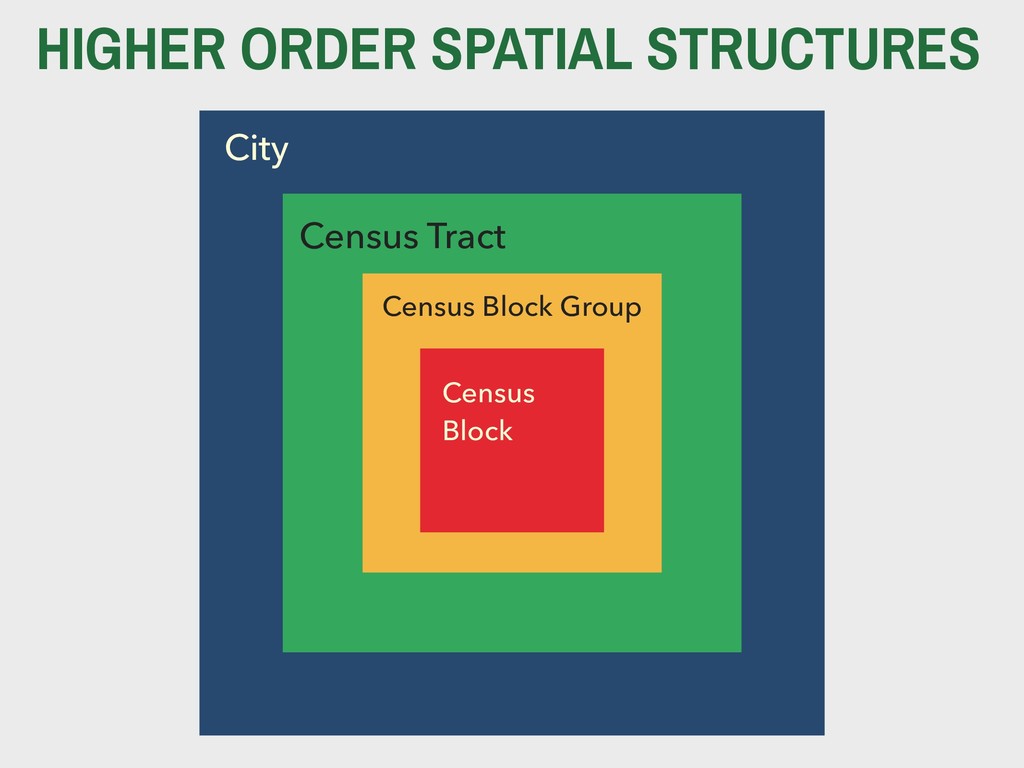
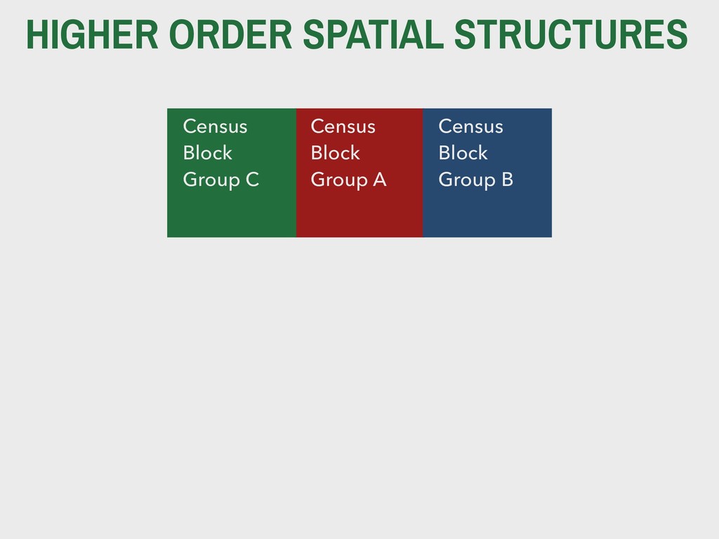
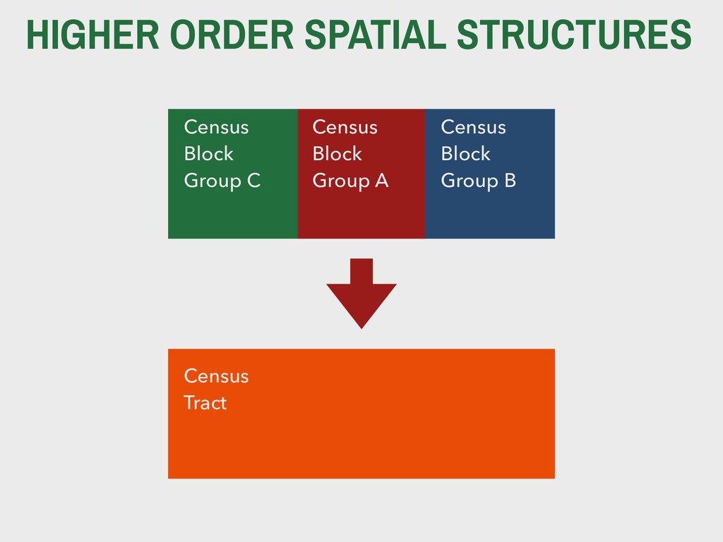
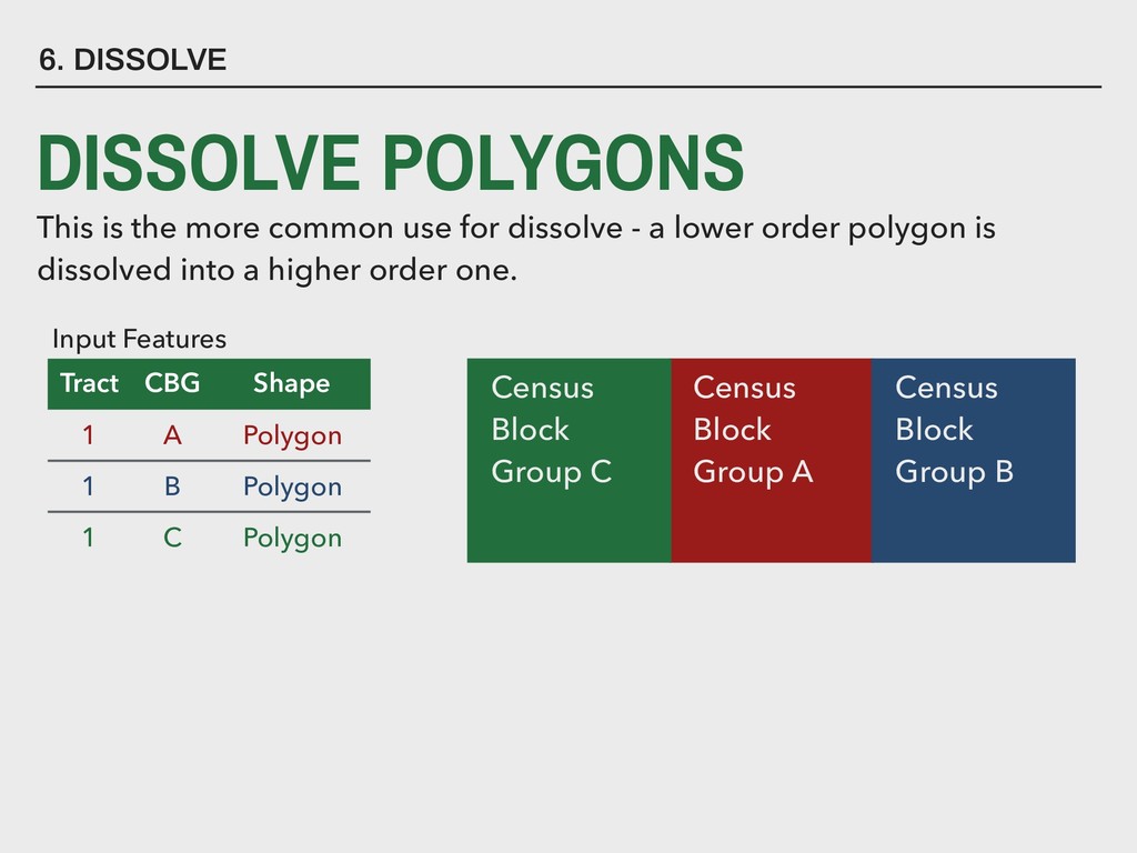
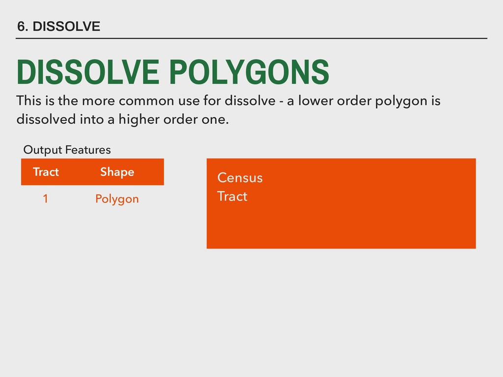
for dissolve - a lower order polygon is dissolved into a higher order one. Tract CBG Shape 1 A Polygon 1 B Polygon 1 C Polygon Input Features Census Block Group A Census Block Group B Census Block Group C
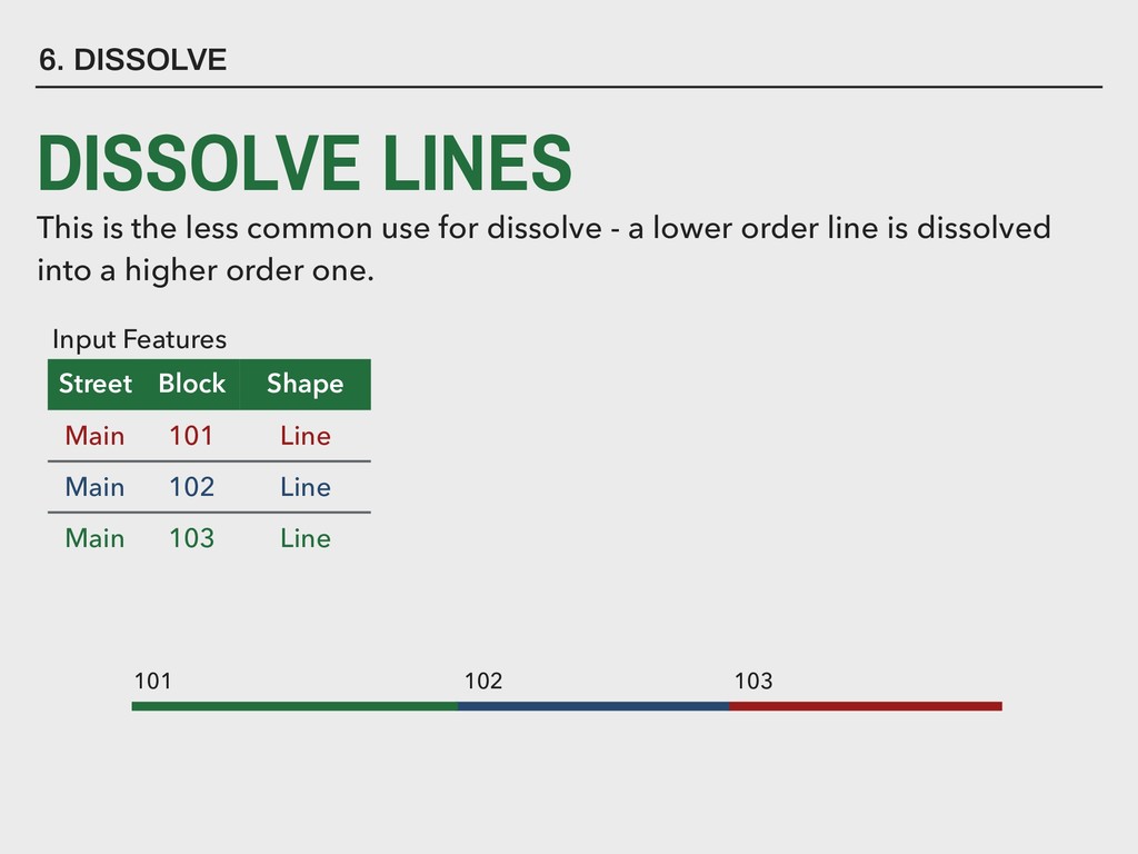
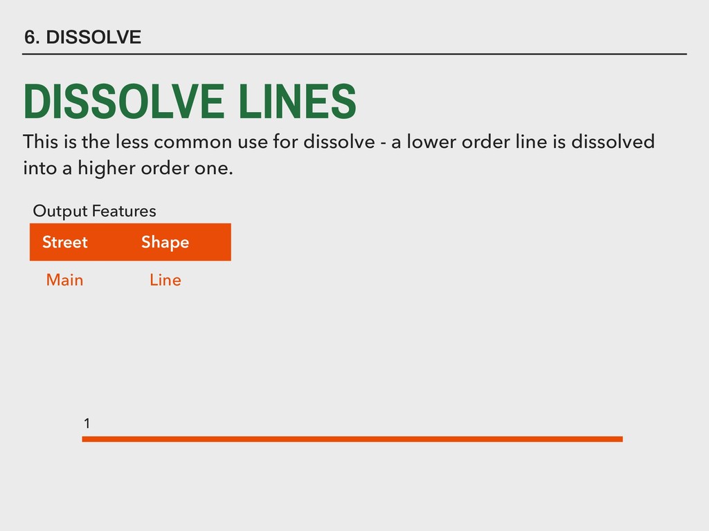
for dissolve - a lower order line is dissolved into a higher order one. Street Block Shape Main 101 Line Main 102 Line Main 103 Line Input Features 101 102 103
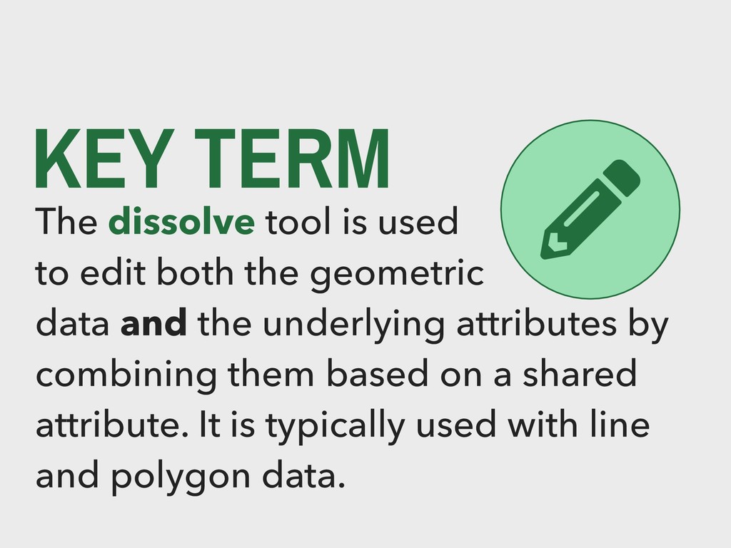
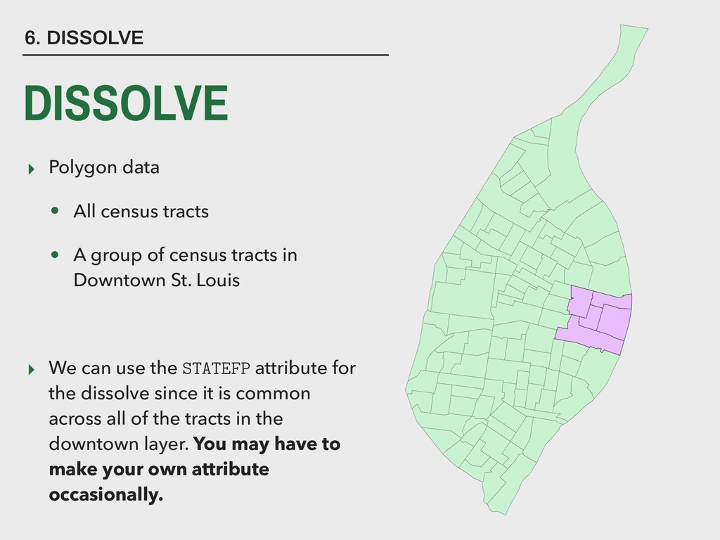
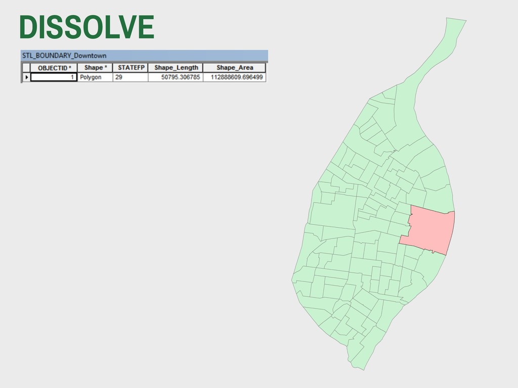
of census tracts in Downtown St. Louis ▸ We can use the STATEFP attribute for the dissolve since it is common across all of the tracts in the downtown layer. You may have to make your own attribute occasionally. 6. DISSOLVE DISSOLVE
Lecture Prep 12 are due next Monday! This is the last problem set! Targeted labs and lecture preps will continue. Full credit given to all for last two lecture preps. Check GitHub Issues for feedback on problem sets, final project feedback coming this week - please respond to final project feedback by class on Monday