Upgrade to Pro — share decks privately, control downloads, hide ads and more …

Learning to map with OpenStreetMap - Quick Start

Win Olario
September 29, 2018

Learning to map with OpenStreetMap - Quick Start

An introductory to workshop to OpenStreetMap for community workers

Win Olario

September 29, 2018
Tweet

More Decks by Win Olario

Other Decks in Technology

Transcript

  1. Map on the Elephant. © Anna Simmons Peasant Mapathon -

    29th Sep 2018 National Council of Churches of the Philippines EDSA, Quezon City n: erwin olario e: [email protected] m: https://t.me/GOwin
  2. Workshop exercise Scenario: A friend from out of town is

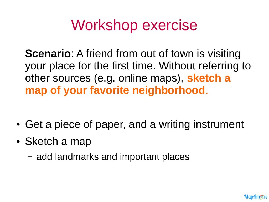
    visiting your place for the first time. Without referring to other sources (e.g. online maps), sketch a map of your favorite neighborhood. • Get a piece of paper, and a writing instrument • Sketch a map – add landmarks and important places
  3. Mappa mundi - a sketch in 3D Neighborhood map drawn

    from memory. Sketch made by a workshop participants in Bogo, Cebu, 2013.
  4. Why map? Tourism Simple navigation for visitors and locals Routing/Traffic

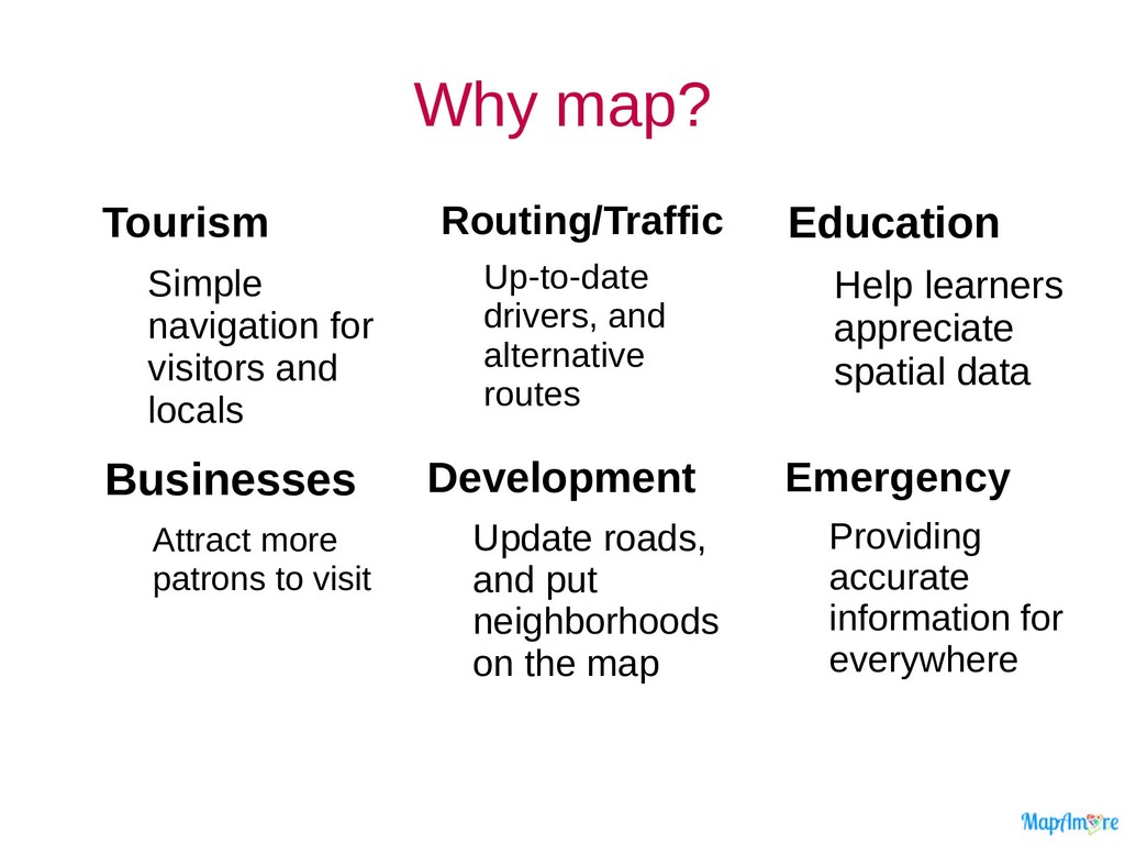
    Up-to-date drivers, and alternative routes Education Help learners appreciate spatial data Emergency Providing accurate information for everywhere Development Update roads, and put neighborhoods on the map Businesses Attract more patrons to visit
  5. Using the OSM website • How to – navigate –

    search for features – Display a route from one place to another – Display details of an element
  6. Sign-up for OSM • Close your incognito/private browser and switch

    to a regular browser. Go to osm.org/user/new
  7. My First Edit Find familiar POIs or establishments that are

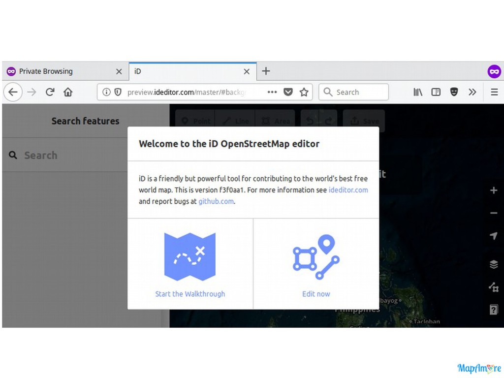
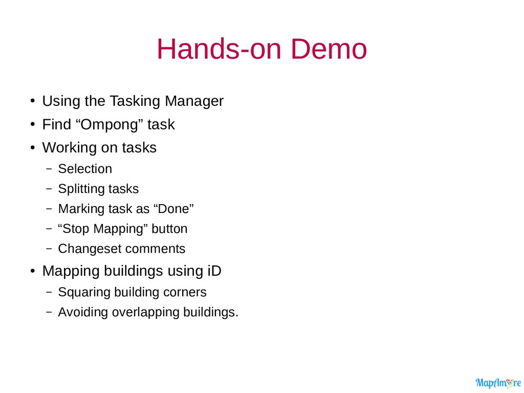
    missing • Add a POI using a Point element – Check for missing or incorrect street names you can fix – Check for other errors you can fix. • When you’re done, click save. – Add a changeset comment that describes the changes you made
  8. GeoBadge / e-Certificate • GeoBadges are digital micro-credentials that recognize

    accomplishments outside of formal schooling, and an excellent way of • URL is case-sensitive
  9. Break Time videos to watch • Adding a building https://youtu.be/VPJz-AucqF4

    • Using a Tasking Manager https://youtu.be/_feTGQXLf_M
  10. Typhoon Ompong Tasks • Select and work from the following

    tasks: – Cagayan and Batanes - Task 5236 – Parts of Cordillera Region - Task 5242 4 km2 500 m2 2 km2 250 m2
  11. Hands-on Demo • Using the Tasking Manager • Find “Ompong”

    task • Working on tasks – Selection – Splitting tasks – Marking task as “Done” – “Stop Mapping” button – Changeset comments • Mapping buildings using iD – Squaring building corners – Avoiding overlapping buildings.
  12. ?

  13. Let’s be awesome together! OpenStreetMap – openstreetmap.org LearnOSM – learnosm.org

    Community Channels – https://wiki.osm.org/wiki/PH/ channels MapAm❤re Initiative – twitter.com/MapAmorePH OSMph LoCo @ Telegram – https://t.me/OSMph