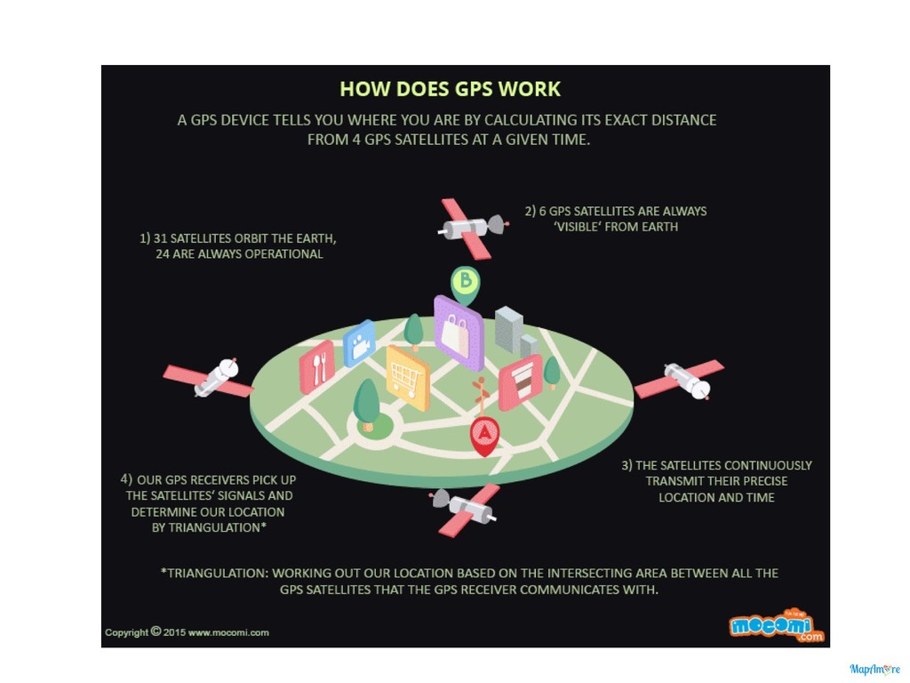
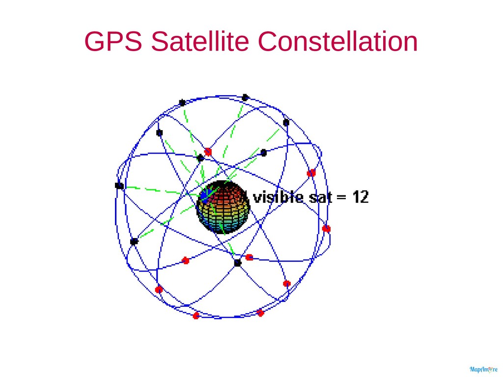
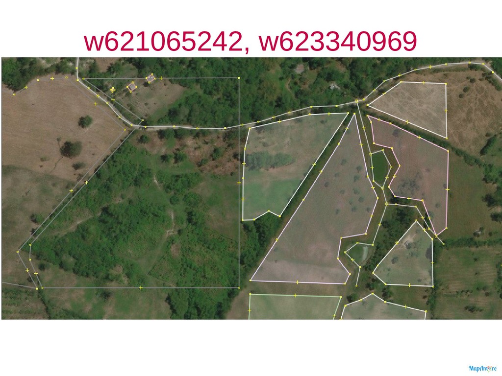
geo-spatial positioning with global/regional coverage that allows small electronic receivers to determine their location (longitude, latitude, and altitude) to high precision (within a few metres) using time signals transmitted along a line of sight by radio from satellites. – Global: GPS, GLONASS, Galileo (2020) – Regional: BeiDou, NAVIC, QZSS
– Neighborhood edits – Using the TM – Validation and fixing issues • Instructions – Login OSM, and locate your neighborhood – Download the data in JOSM and filter (ALT+SHIFT+F) for edits: • user:”<username>” • timestamp:"/2018-08" – Login to the web app, and elaborate on the street-level imagery you captured – Demonstrate knowledge of OSM by completing an Maproulette challenge.
![CWTS++ session 7, 2018-256 n: erwin olario e: [email protected] m:](https://files.speakerdeck.com/presentations/6c2f76d48b084fdea77728df5e9c4ae3/slide_1.jpg)