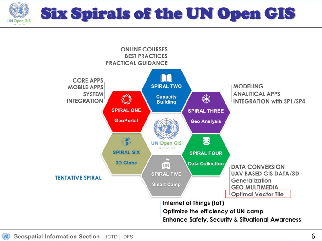
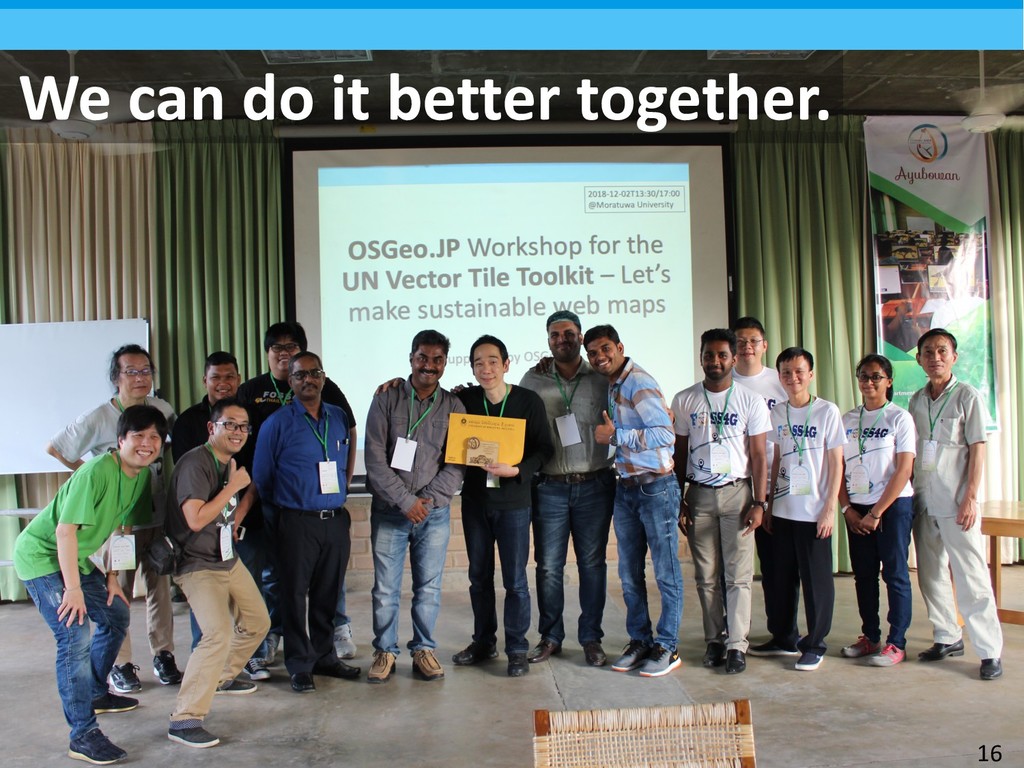
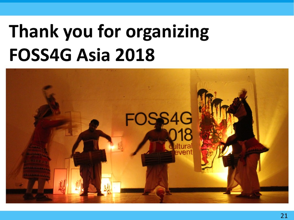
Initiative Hidenori Fujimura UN Geospatial Information Section Lead UN Vector Tile Toolkit, UN Open GIS Initiative Spiral 4 2018-12-03T09:30/ 25 min. + 5 min. QA FOSS4G Asia 2018 @ University of Moratuwa 1
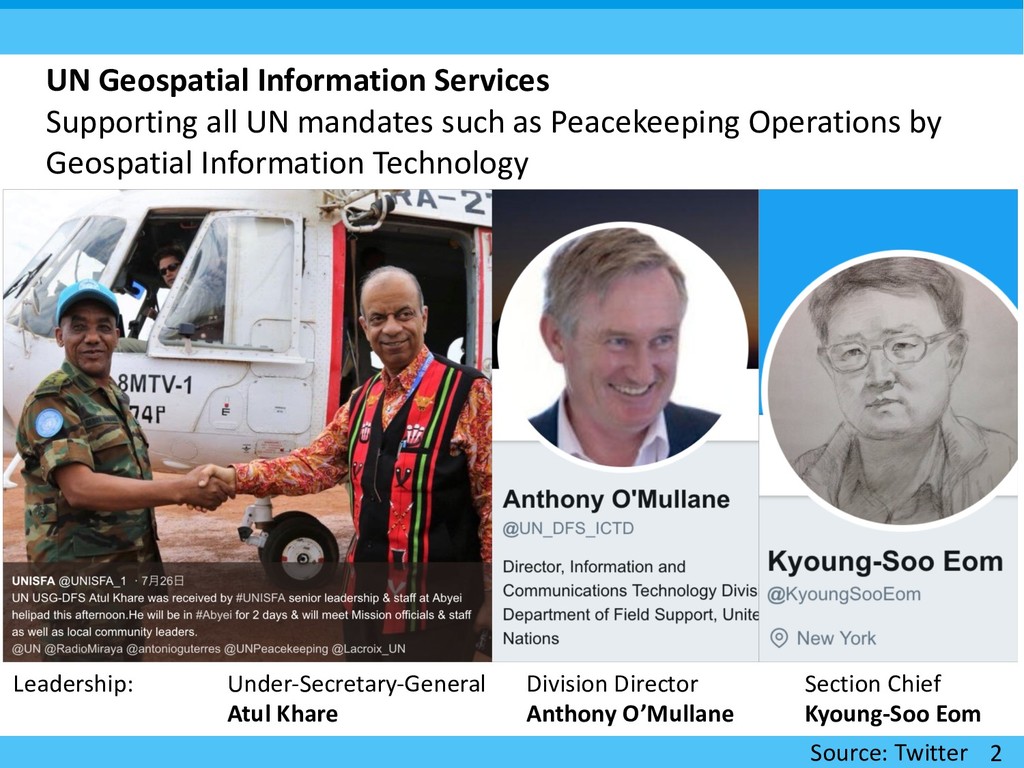
as Peacekeeping Operations by Geospatial Information Technology Under-Secretary-General Atul Khare Division Director Anthony O’Mullane Section Chief Kyoung-Soo Eom Source: Twitter Leadership:
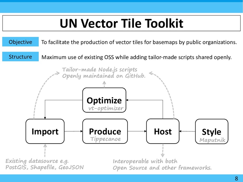
vector tiles for basemaps by public organizations. Structure Import Produce Host Style Optimize Existing datasource e.g. PostGIS, Shapefile, GeoJSON Tippecanoe Maputnik Interoperable with both Open Source and other frameworks. Tailor-made Node.js scripts Openly maintained on GitHub. Maximum use of existing OSS while adding tailor-made scripts shared openly. vt-optimizer 8
zoom levels. Custom open source scripts. Create vector tile packages in mbtiles format. Tippecanoe Host modular vector tile packages in a simple and scalable manner. Custom open source scripts. Style hosted vector tiles. Maputnik Enhance the optimization of the size of individual vector tiles by visualizing them. vt-optimizer and other custom open source scripts. Import Produce Host Style Optimize
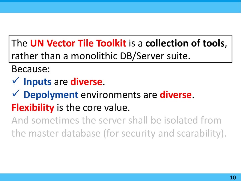
tools, rather than a monolithic DB/Server suite. Because: ü Inputs are diverse. ü Depolyment environments are diverse. Flexibility is the core value. And sometimes the server shall be isolated from the master database (for security and scarability).