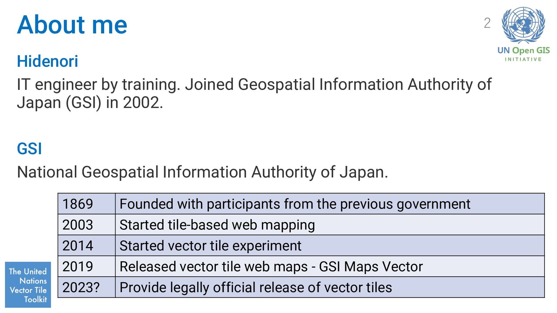
Authority of Japan (GSI) in 2002. GSI National Geospatial Information Authority of Japan. 2 1869 Founded with participants from the previous government 2003 Started tile-based web mapping 2014 Started vector tile experiment 2019 Released vector tile web maps - GSI Maps Vector 2023? Provide legally official release of vector tiles
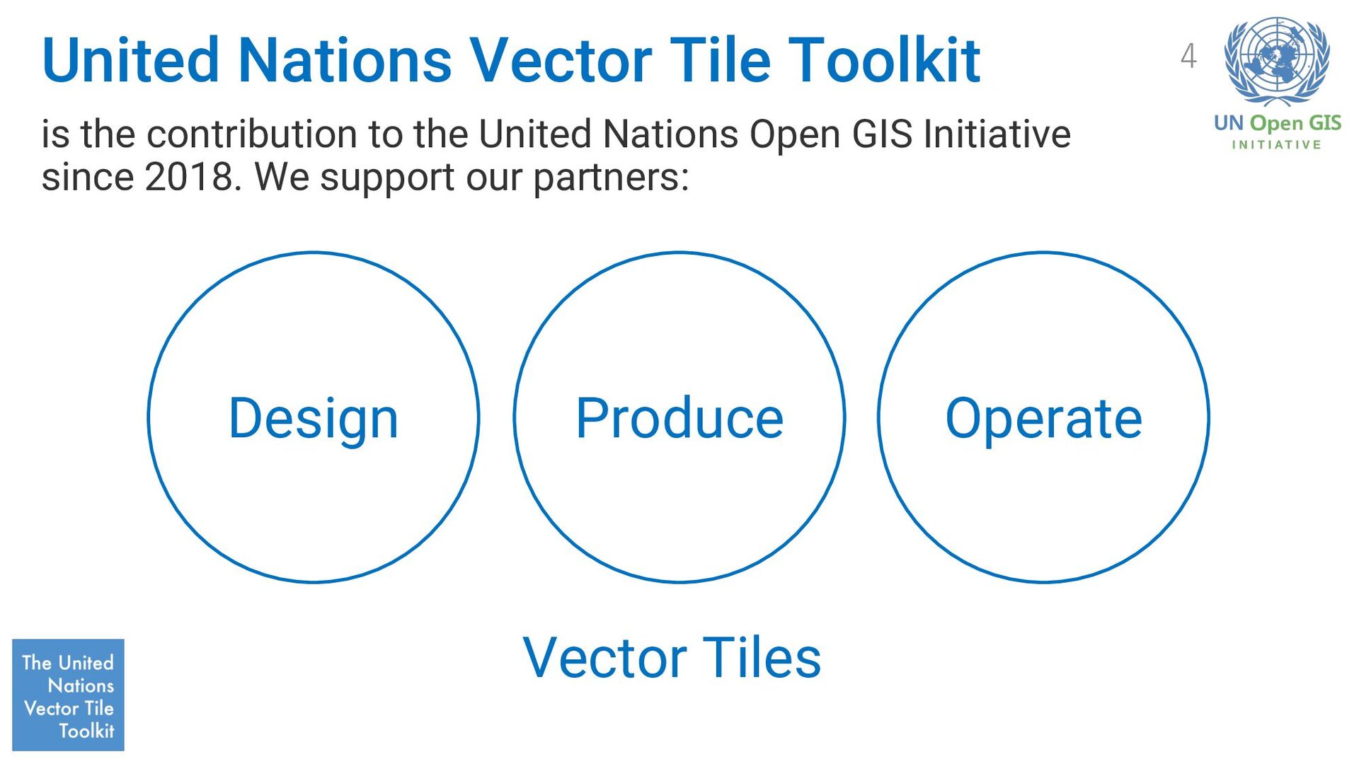
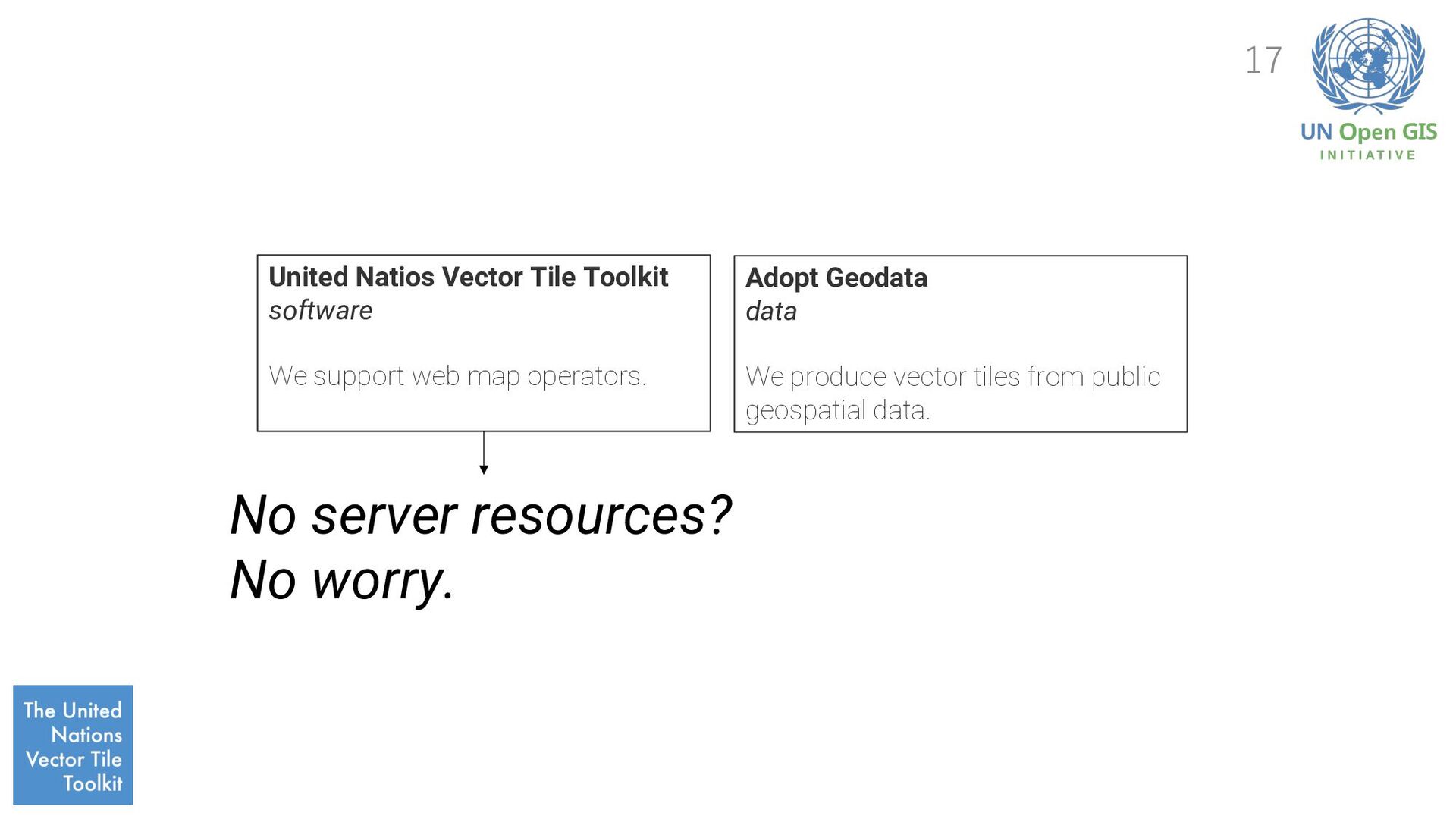
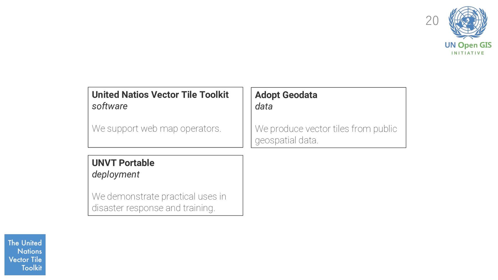
map operators. UNVT Portable deployment We demonstrate practical uses in disaster response and training. Adopt Geodata data We produce vector tiles from public geospatial data.
map operators. UNVT Portable deployment We demonstrate practical uses in disaster response and training. Adopt Geodata data We produce vector tiles from public geospatial data. How can we bulild capacity?
map operators. UNVT Portable deployment We demonstrate practical uses in disaster response and training. Adopt Geodata data We produce vector tiles from public geospatial data. Denshujo community of practice Support each other in capatity building for practice.
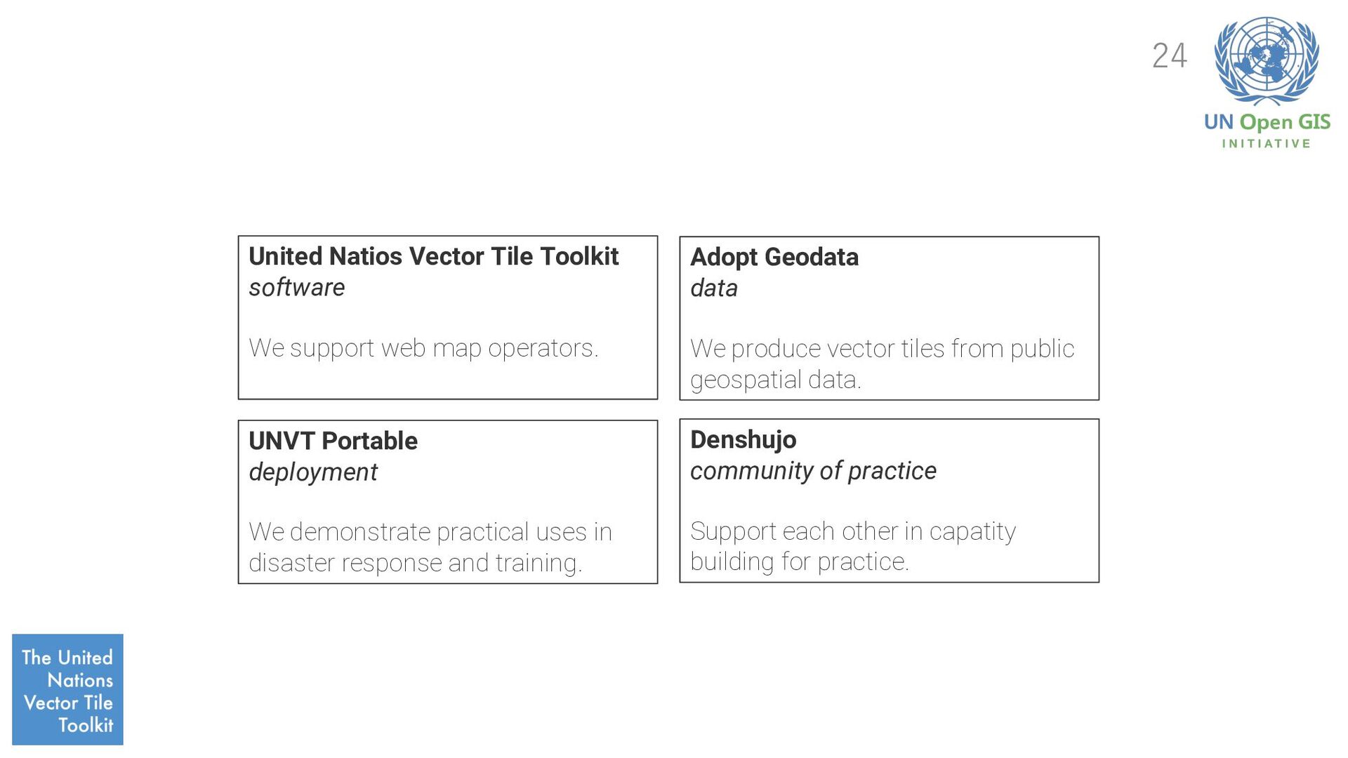
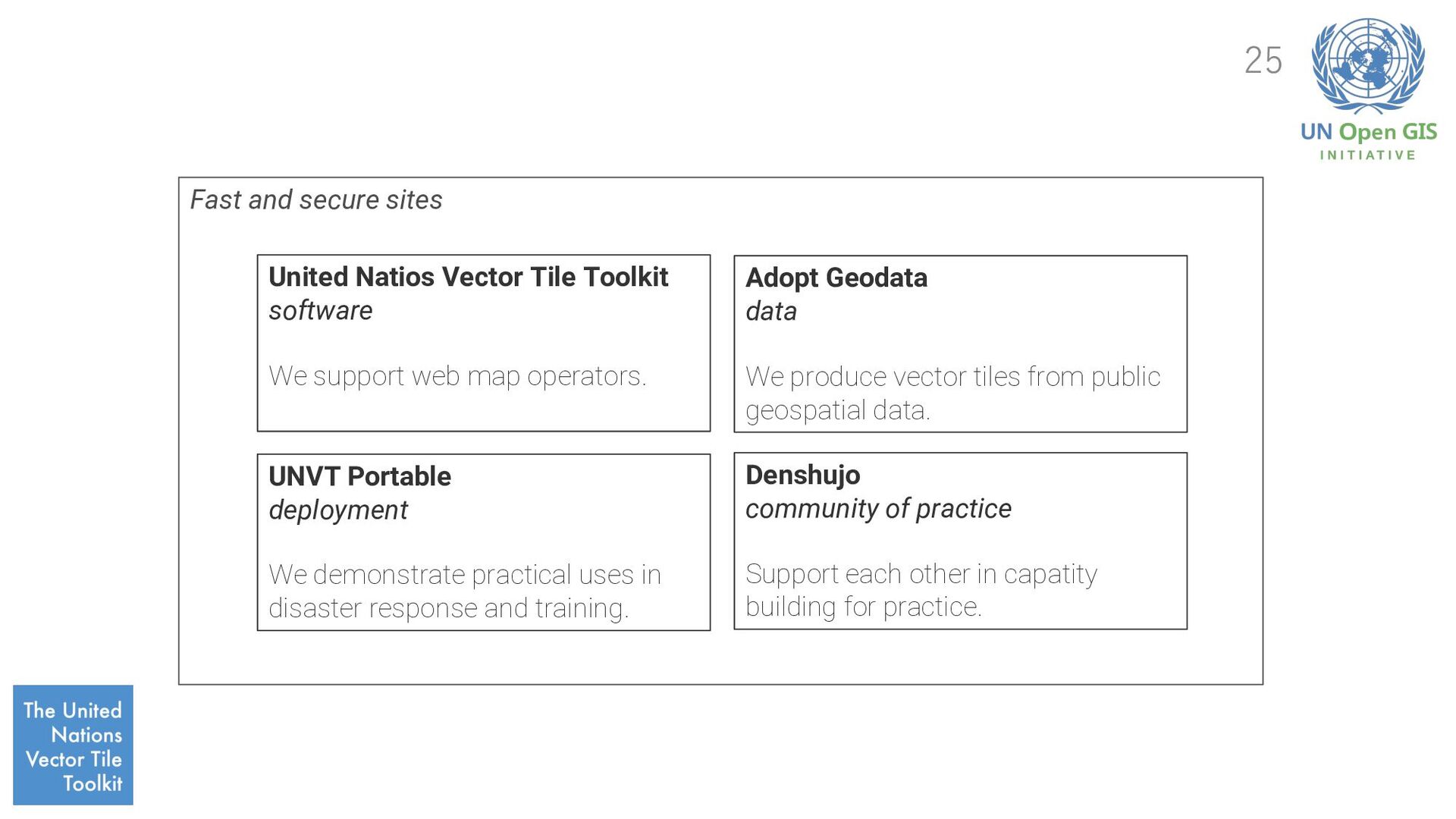
software We support web map operators. UNVT Portable deployment We demonstrate practical uses in disaster response and training. Adopt Geodata data We produce vector tiles from public geospatial data. Denshujo community of practice Support each other in capatity building for practice.
architectural approach that decouples the web experience layer from data and business logic, improving flexibility, scalability, performance, and maintainability. It enables a composable architecture for the web where custom logic and 3rd party services are consumed through API. 26
link domestic measures with international cooperation (SDGs Implementation Guiding Principles (2019)) 2. make use of private-sector innovation to improve user experiences (Digital Principles for Structural Reforms (2022)) Identified strategy We need a better Community Strategy that build a better community and integrate them into business. 28
which I am professionally involved. Keep these web maps continuously create new values. Community vision statement Build a global community of engineers and operators to make maps open and diverse on the web. 30
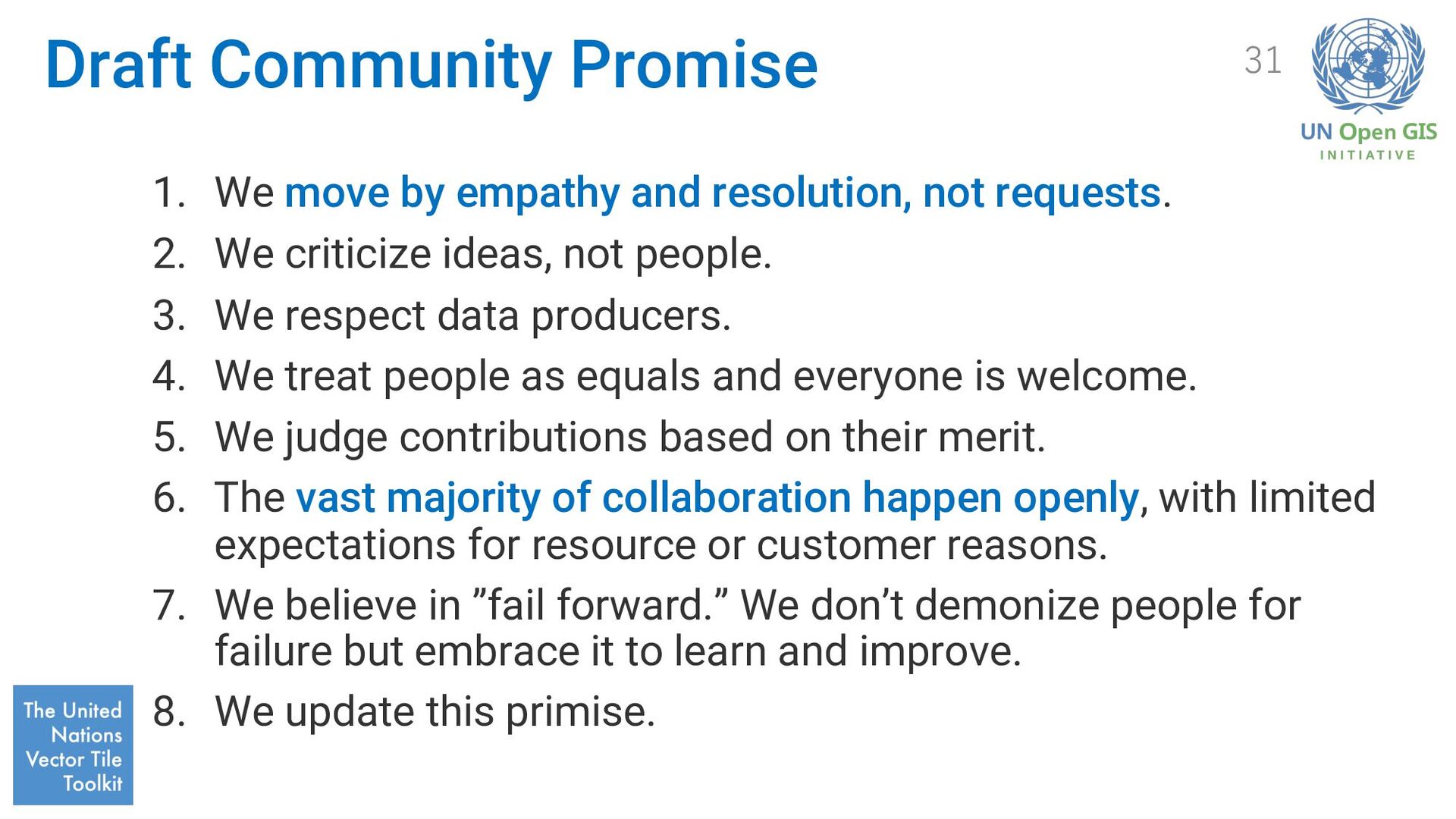
not requests. 2. We criticize ideas, not people. 3. We respect data producers. 4. We treat people as equals and everyone is welcome. 5. We judge contributions based on their merit. 6. The vast majority of collaboration happen openly, with limited expectations for resource or customer reasons. 7. We believe in ”fail forward.” We don’t demonize people for failure but embrace it to learn and improve. 8. We update this primise. 31
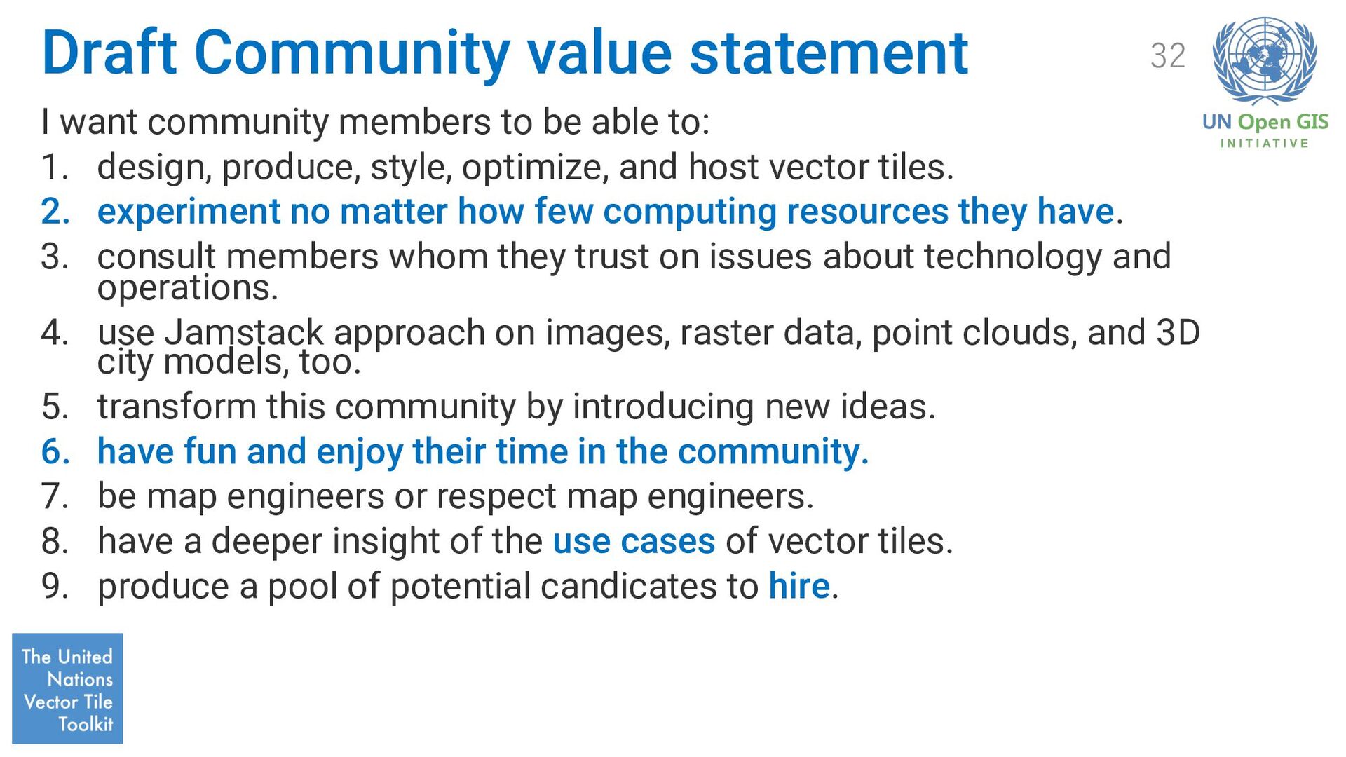
able to: 1. design, produce, style, optimize, and host vector tiles. 2. experiment no matter how few computing resources they have. 3. consult members whom they trust on issues about technology and operations. 4. use Jamstack approach on images, raster data, point clouds, and 3D city models, too. 5. transform this community by introducing new ideas. 6. have fun and enjoy their time in the community. 7. be map engineers or respect map engineers. 8. have a deeper insight of the use cases of vector tiles. 9. produce a pool of potential candicates to hire. 32
high-level objectives that should be deliverd over the next calendar year with clearly defined owners and success criteria, to get everyone on the same page. 33 1. put vector tiles into the UN practice. 2. release GSI topographic vector tile packages and get them hosted by different operators. 3. promote community uses of MapLibre & QGIS with vector tiles. 4. put vector tiles from developing countries into practice. 5. boost hosting of vector tiles from different public organizations by private enterprises. 6. assist governments, including local governments, in introducing UNVT Portable.
15 August 2022, from https://github.com/unvt • Adopt Geodata. (2018). Retrieved 15 August 2022, from https://github.com/optgeo • Bacon, J. (2019). People powered. HarperCollins Leadership. • For fast and secure sites | Jamstack. (2022). Retrieved 15 August 2022, from https://jamstack.org/ 34