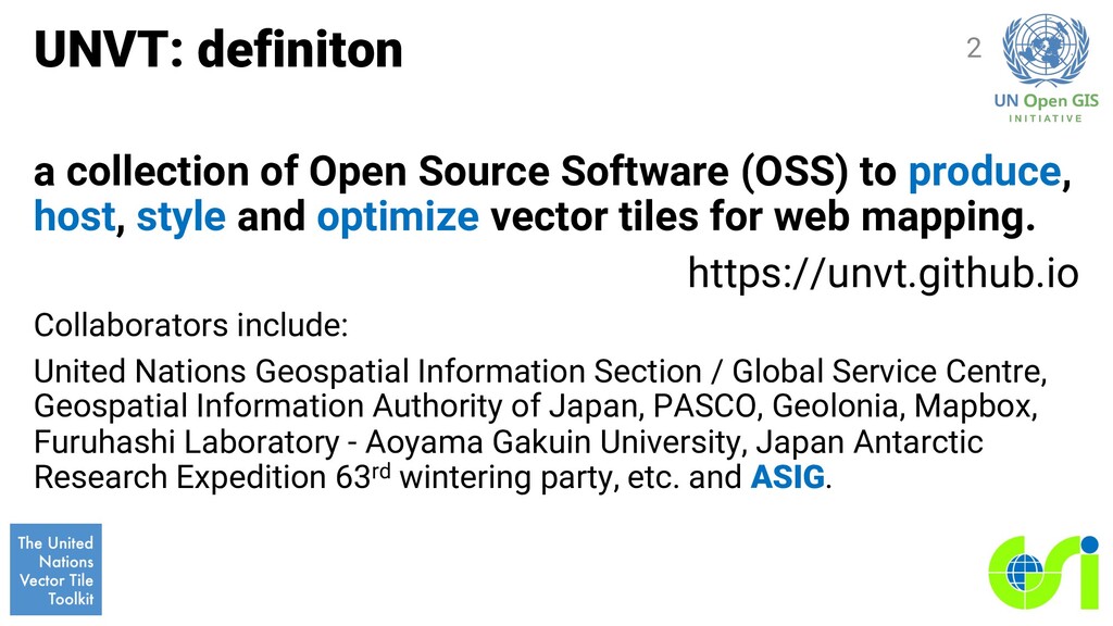
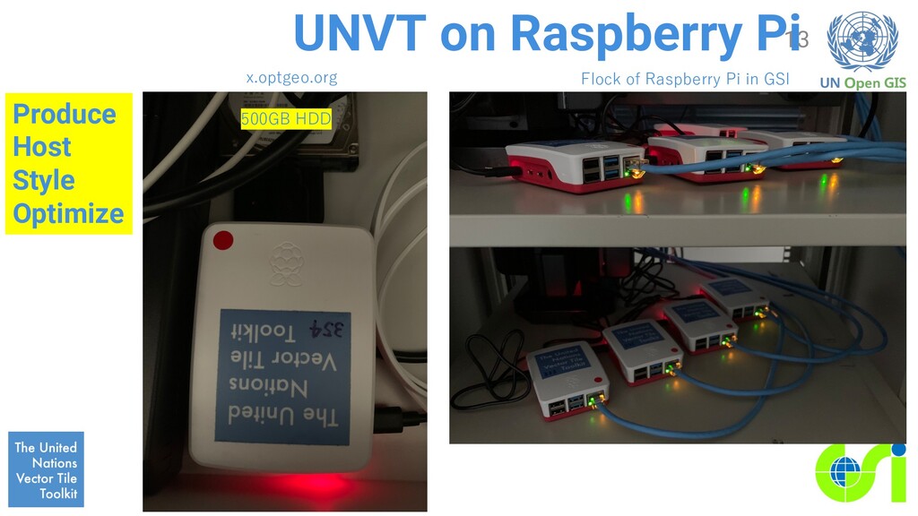
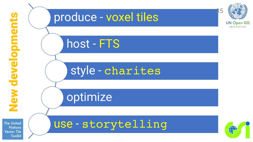
produce, host, style and optimize vector tiles for web mapping. https://unvt.github.io Collaborators include: United Nations Geospatial Information Section / Global Service Centre, Geospatial Information Authority of Japan, PASCO, Geolonia, Mapbox, Furuhashi Laboratory - Aoyama Gakuin University, Japan Antarctic Research Expedition 63rd wintering party, etc. and ASIG. 2
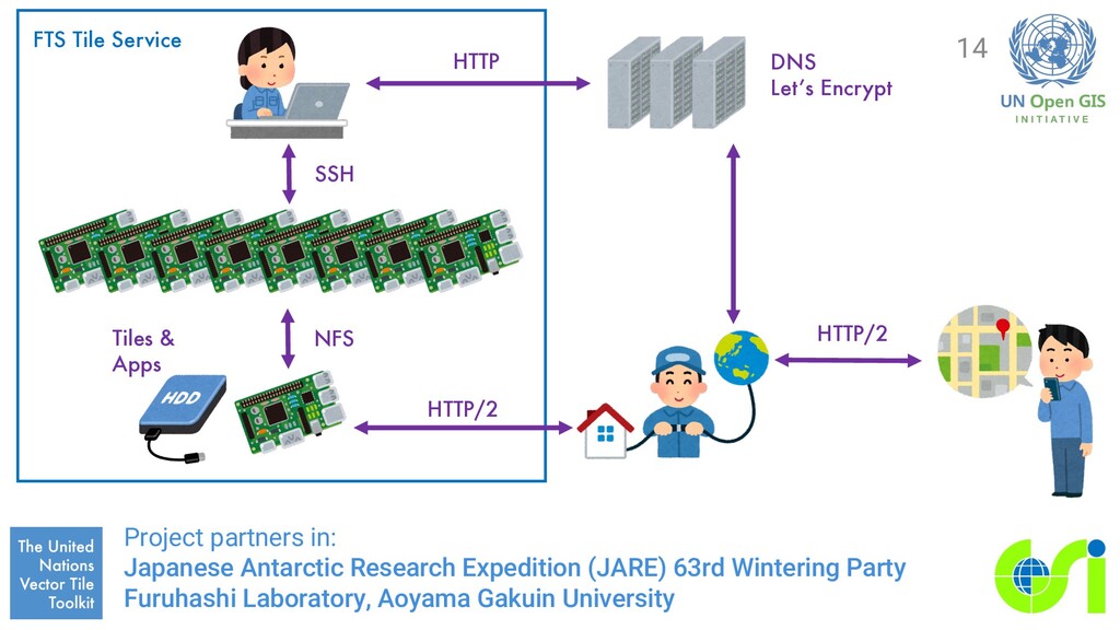
Station, Antarctica for Japan Antarctic Research Exploration (JARE) I am going to use charites for styling. Hopefully to be introduced in out next session. raster vector 21
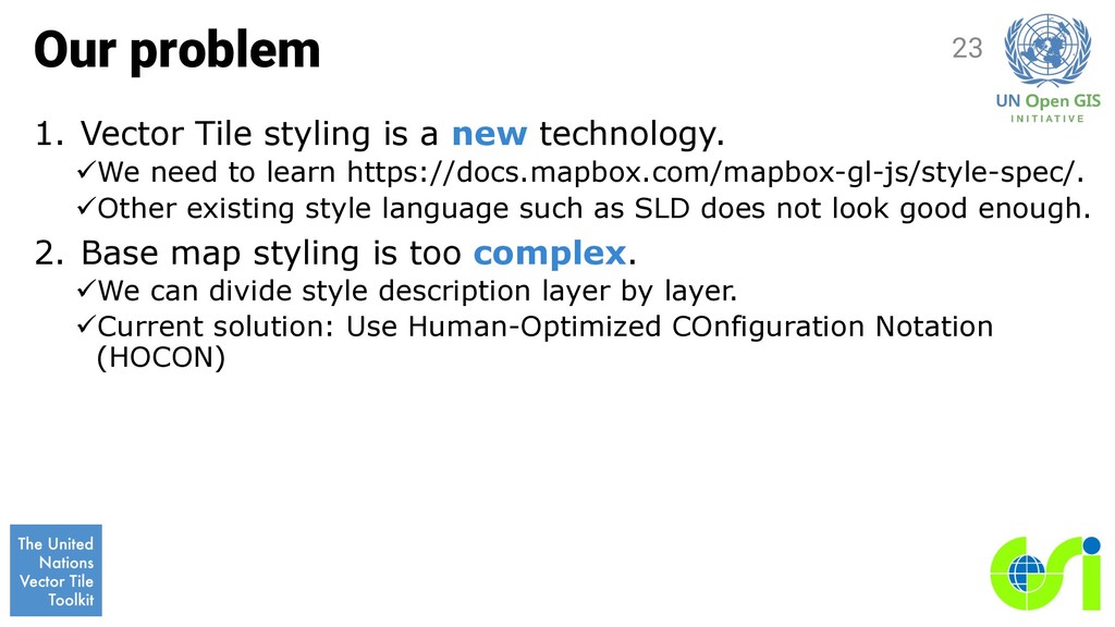
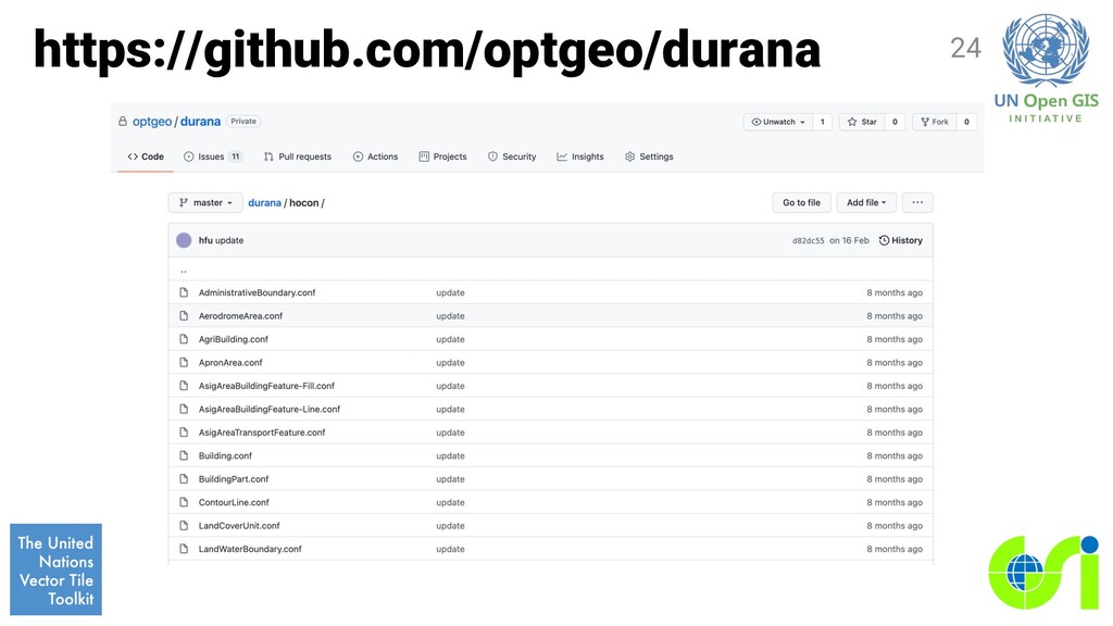
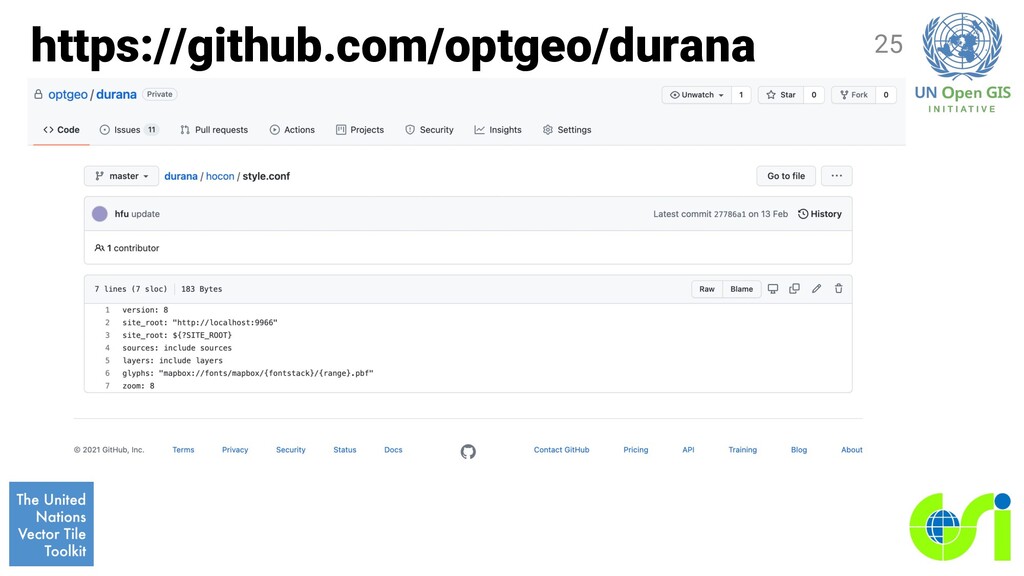
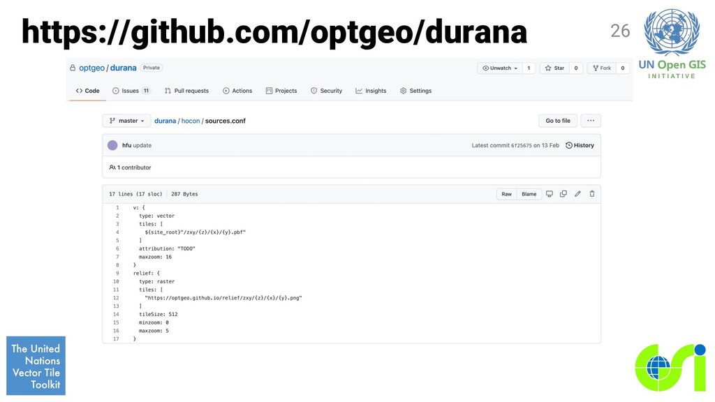
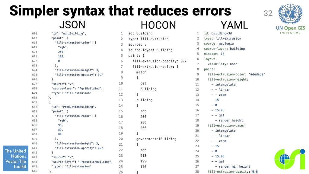
üWe need to learn https://docs.mapbox.com/mapbox-gl-js/style-spec/. üOther existing style language such as SLD does not look good enough. 2. Base map styling is too complex. üWe can divide style description layer by layer. üCurrent solution: Use Human-Optimized COnfiguration Notation (HOCON) 23
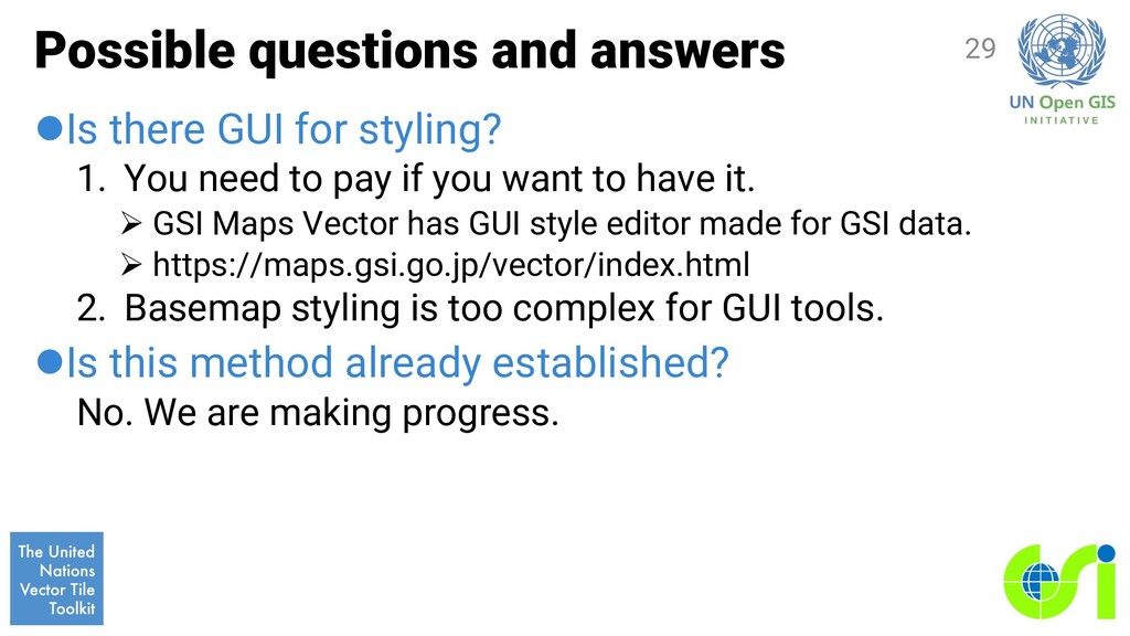
You need to pay if you want to have it. Ø GSI Maps Vector has GUI style editor made for GSI data. Ø https://maps.gsi.go.jp/vector/index.html 2. Basemap styling is too complex for GUI tools. lIs this method already established? No. We are making progress. 29
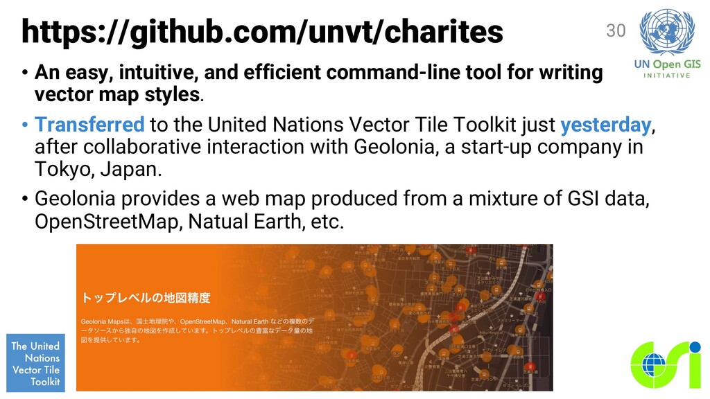
writing vector map styles. • Transferred to the United Nations Vector Tile Toolkit just yesterday, after collaborative interaction with Geolonia, a start-up company in Tokyo, Japan. • Geolonia provides a web map produced from a mixture of GSI data, OpenStreetMap, Natual Earth, etc. 30
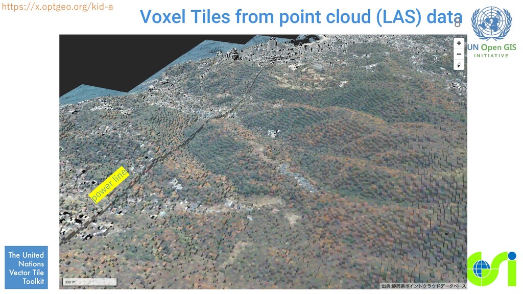
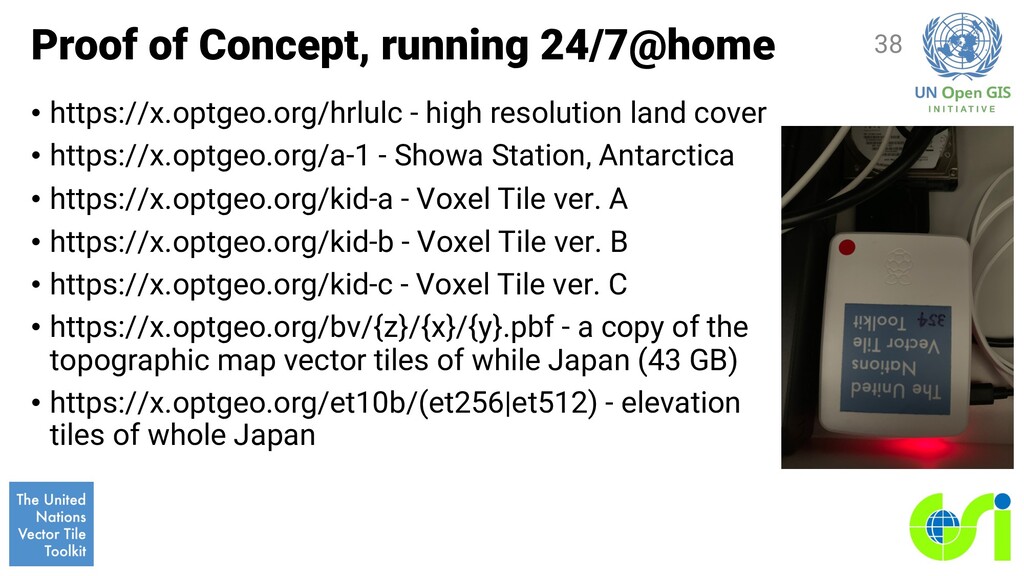
land cover • https://x.optgeo.org/a-1 - Showa Station, Antarctica • https://x.optgeo.org/kid-a - Voxel Tile ver. A • https://x.optgeo.org/kid-b - Voxel Tile ver. B • https://x.optgeo.org/kid-c - Voxel Tile ver. C • https://x.optgeo.org/bv/{z}/{x}/{y}.pbf - a copy of the topographic map vector tiles of while Japan (43 GB) • https://x.optgeo.org/et10b/(et256|et512) - elevation tiles of whole Japan 38
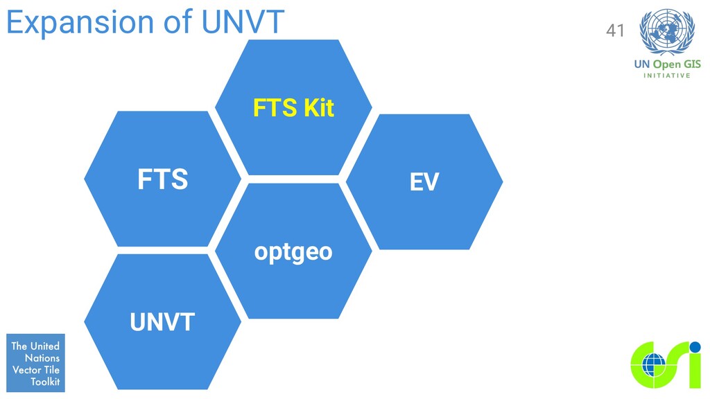
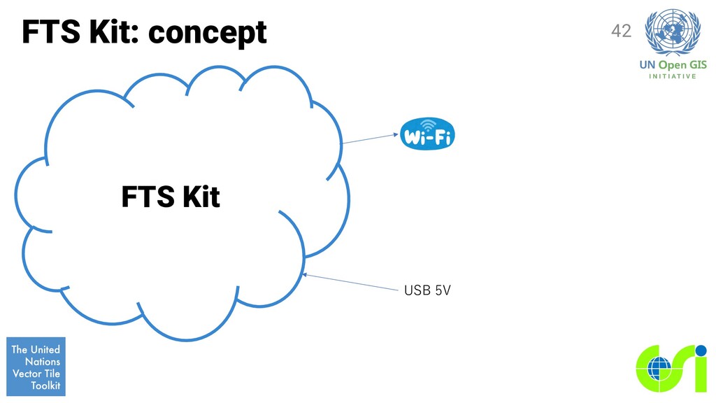
everyone because of its Open License. 2. However, it requires too many ICT skills. 3. What if we can provide the computing environment in a single physical package, ready to be used? 4. FTS Kit - FTS in a single physical package? 40