the convergence of geographic information and the Internet, organizations are attempting to find better ways to share and store data as well as collaborate with others. James Fee will be discussing how organizations can become more agile with their geospatial business processes to ensure that their data is discoverable as well as accessible to users who wish to interact with it. Listen to James describe how changes with workflows brought on by disruptive technologies such as web services and cloud computing can improve users' abilities to solve complex problems and expose those results to consumers who will then be able to use them. There are huge challenges to overcome, but with the right tools and services, success can be in hand. James will share concepts that have helped his clients improve their data sharing and collaborative efforts by using those same disruptive technologies to eliminate barriers between users and data.
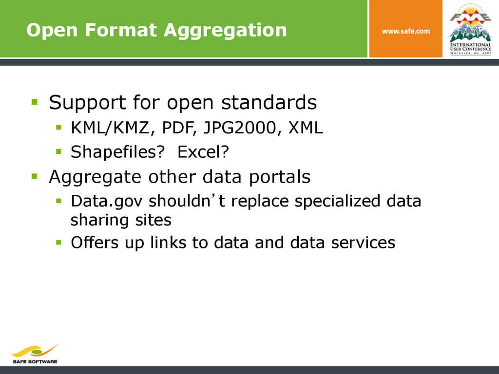
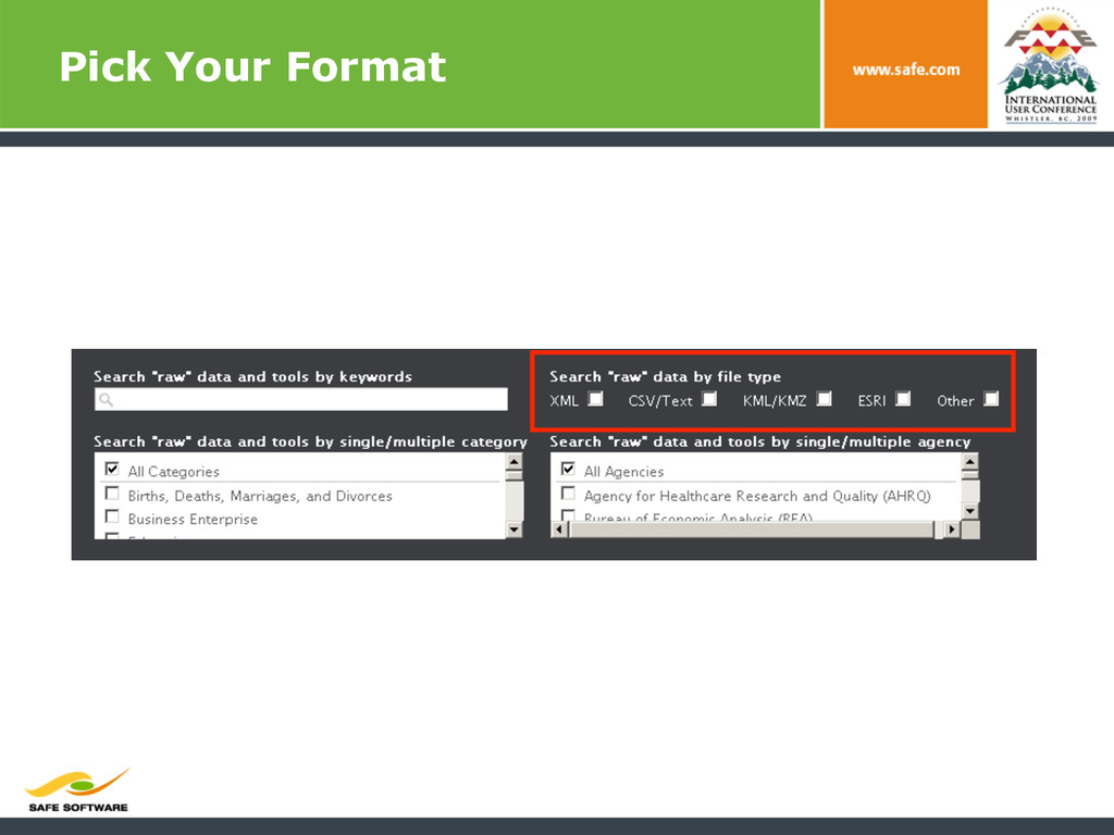
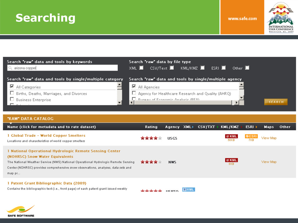
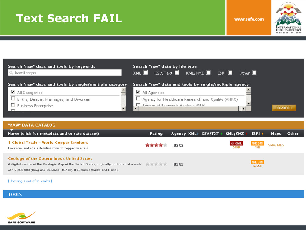
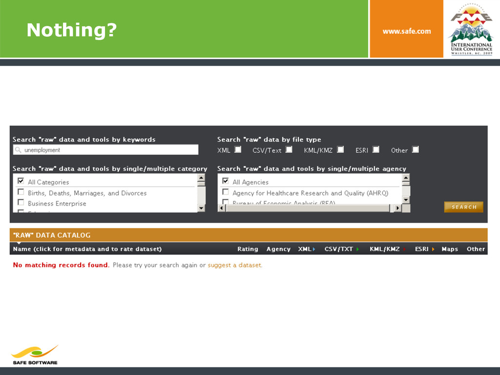
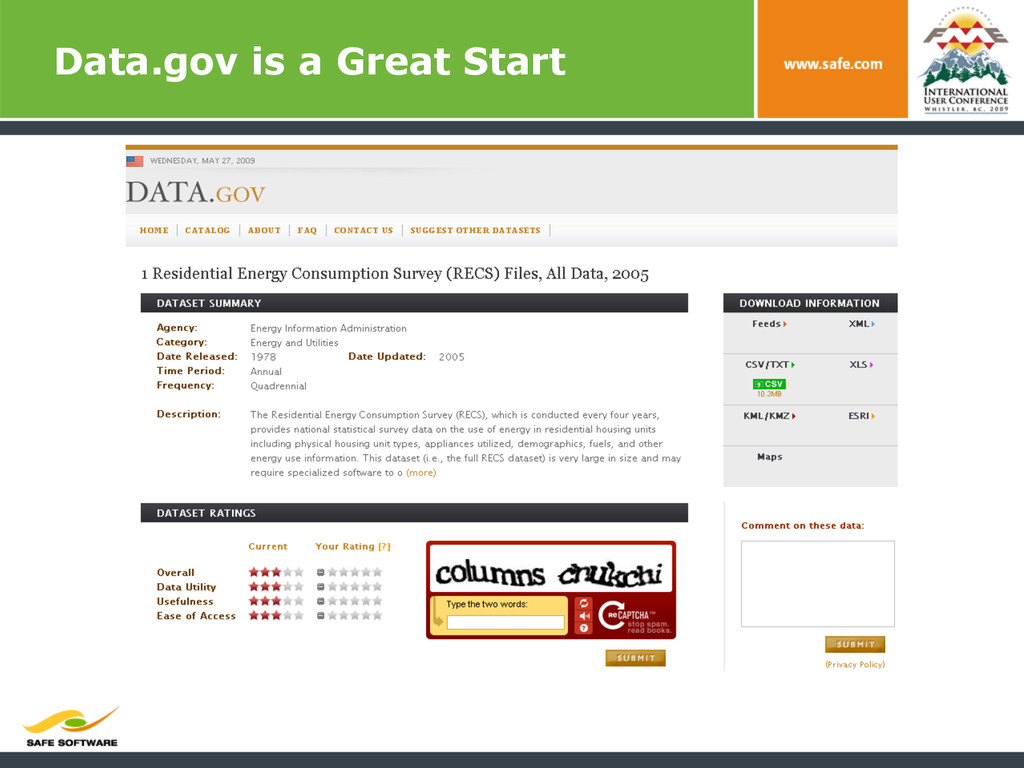
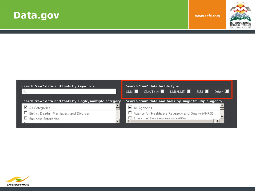
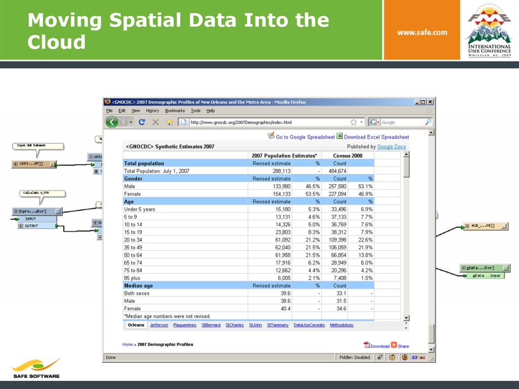
PDF, JPG2000, XML § Shapefiles? Excel? § Aggregate other data portals § Data.gov shouldn’t replace specialized data sharing sites § Offers up links to data and data services