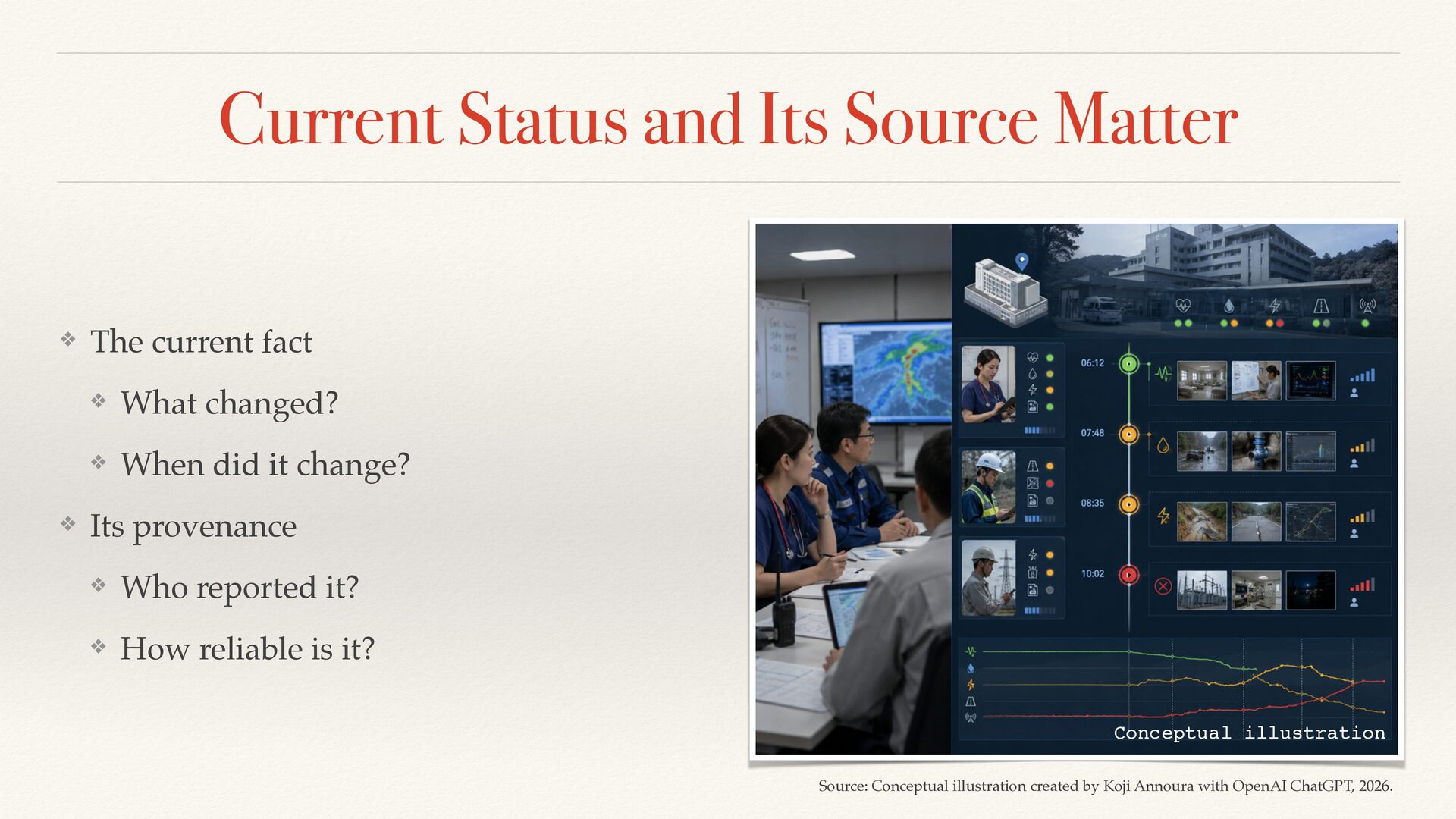
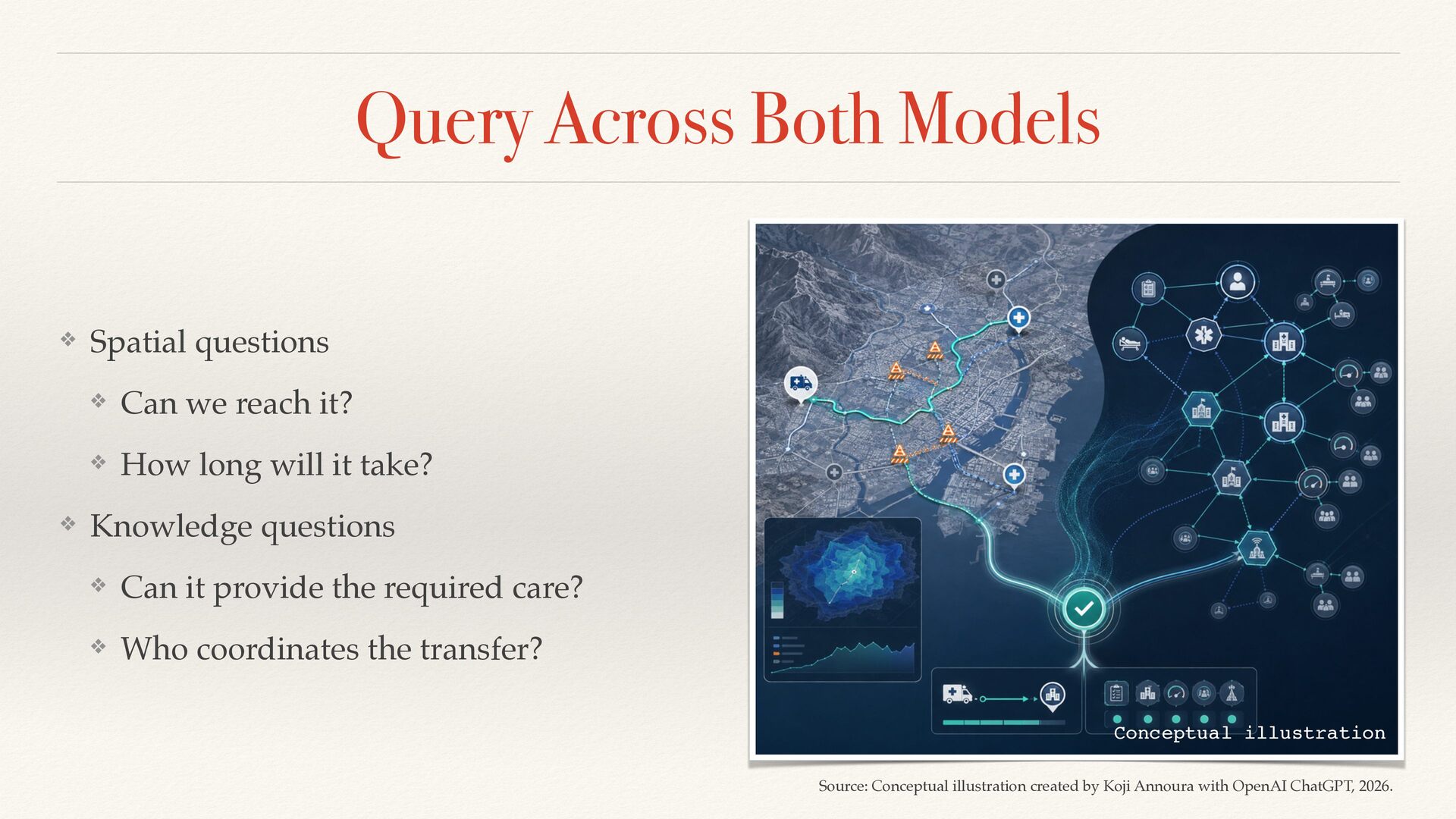
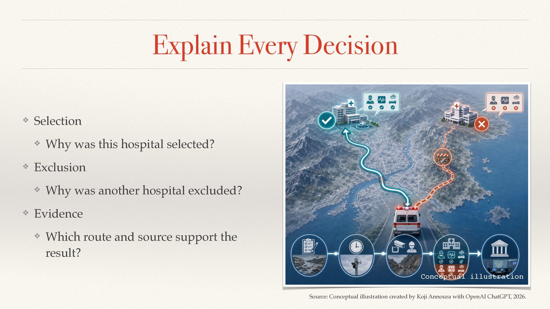
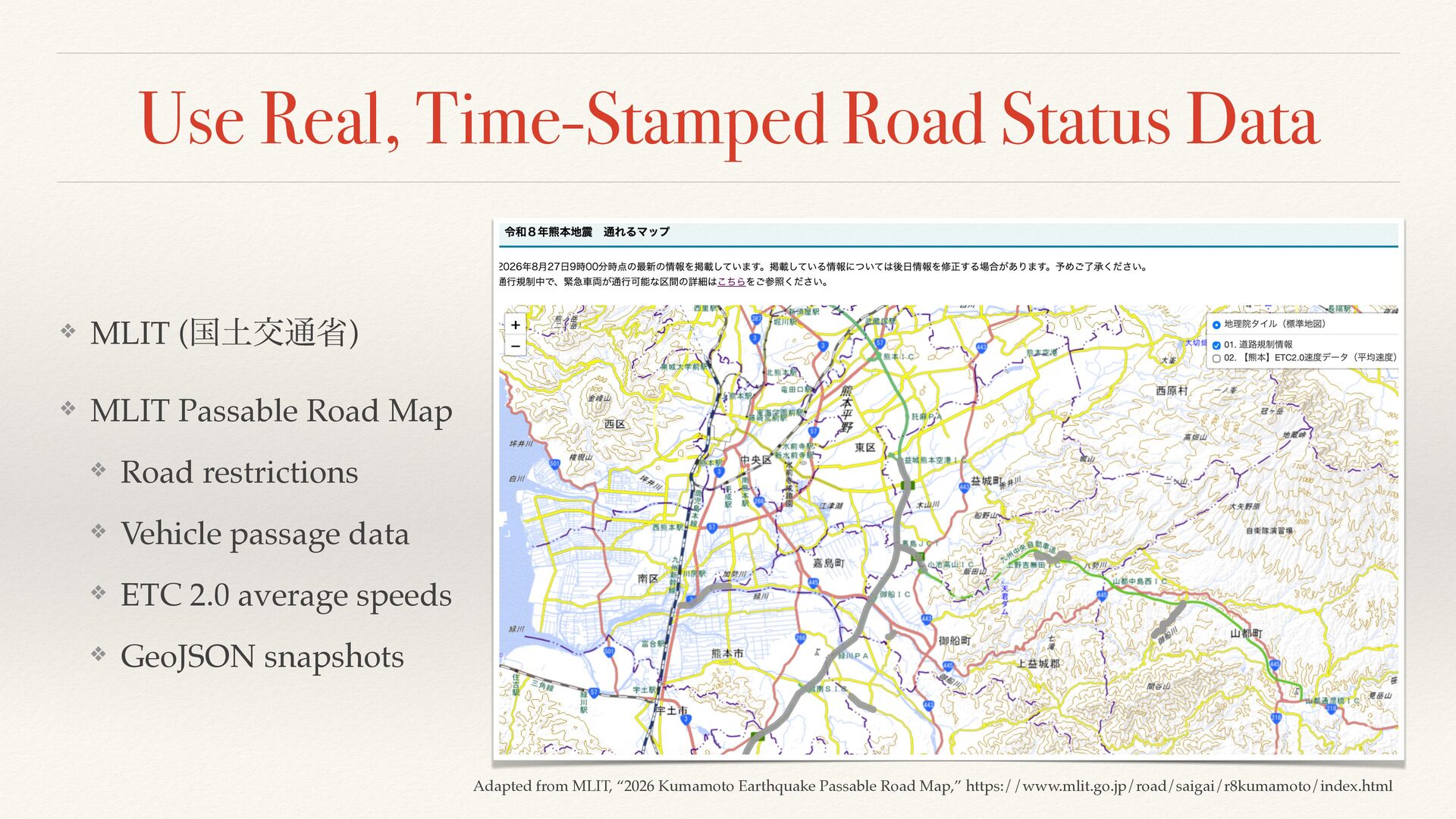
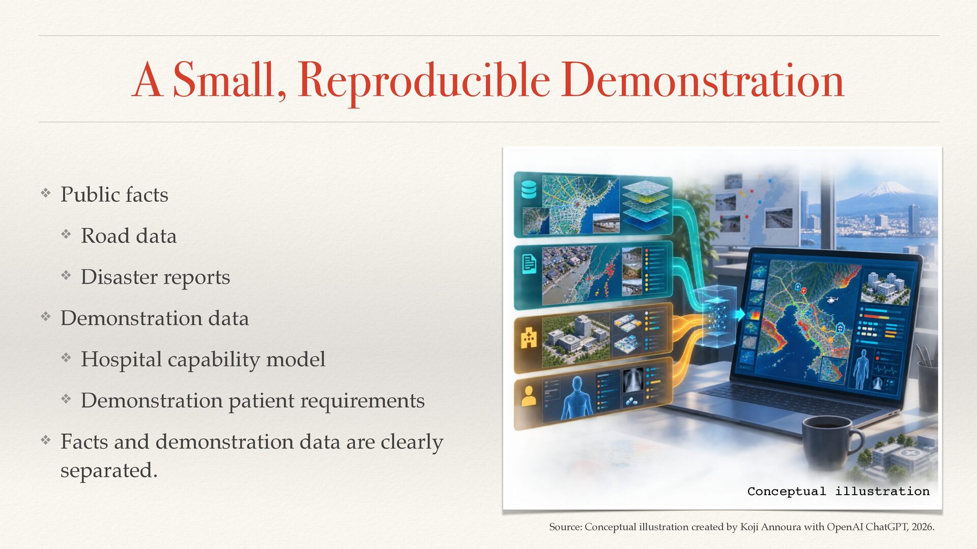
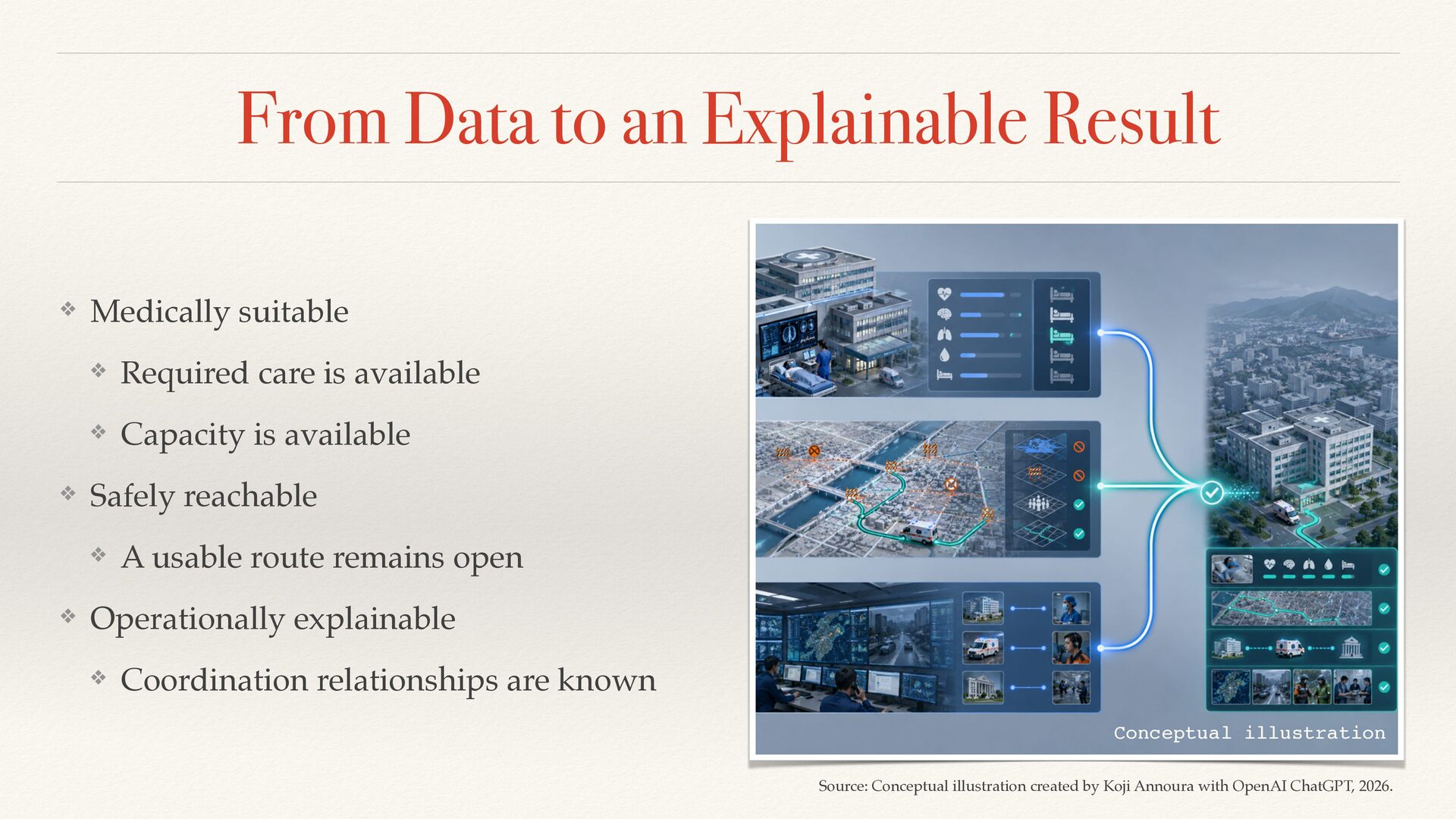
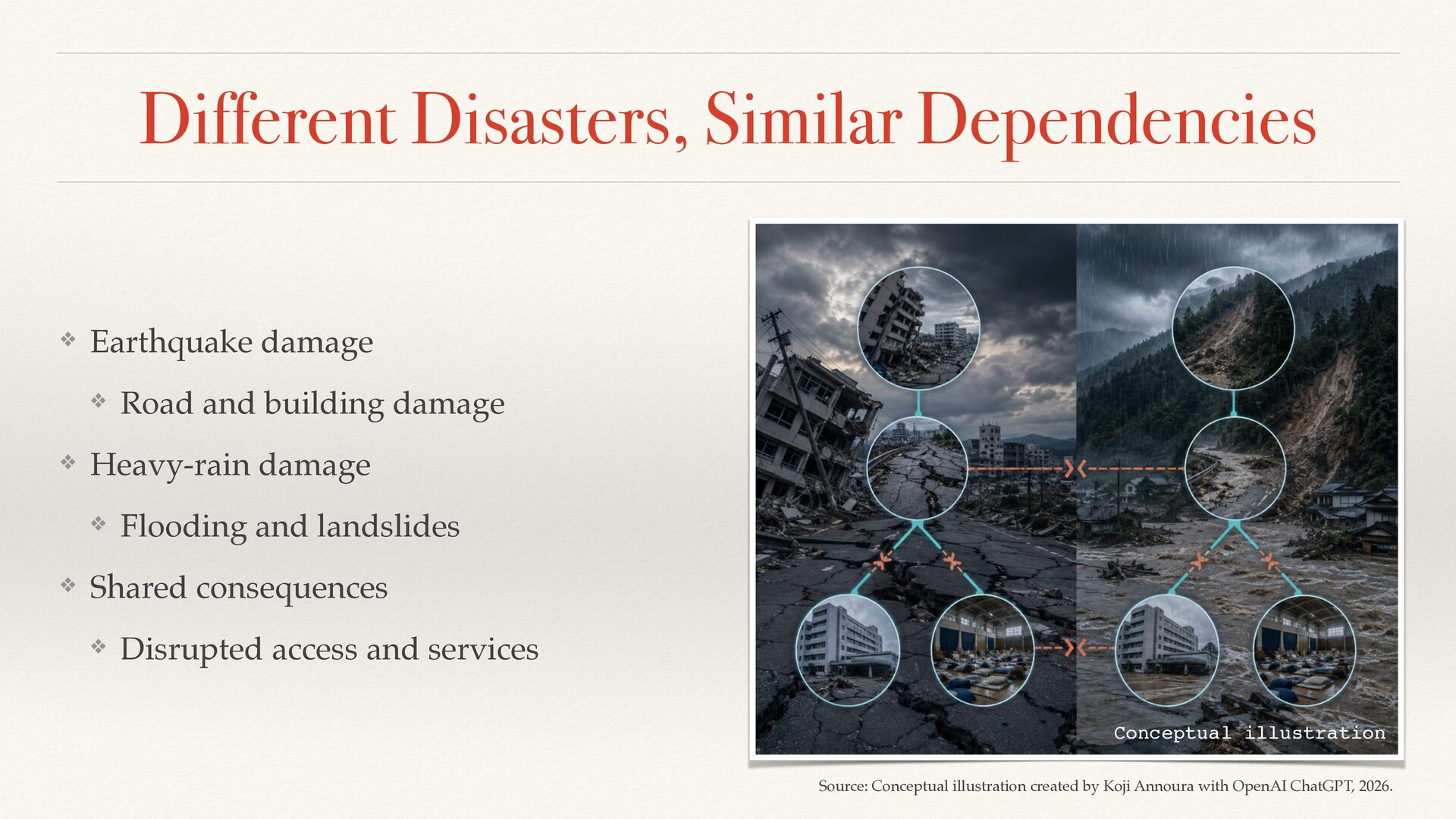
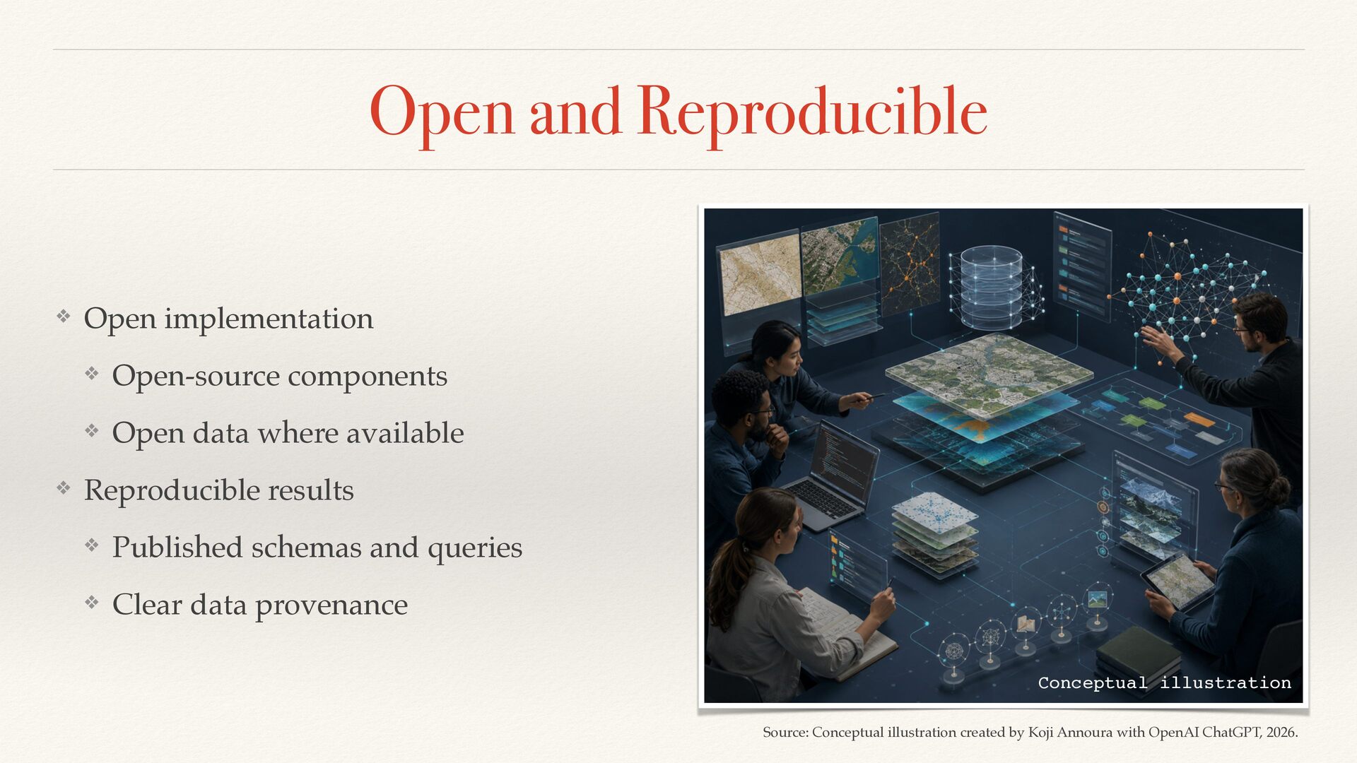
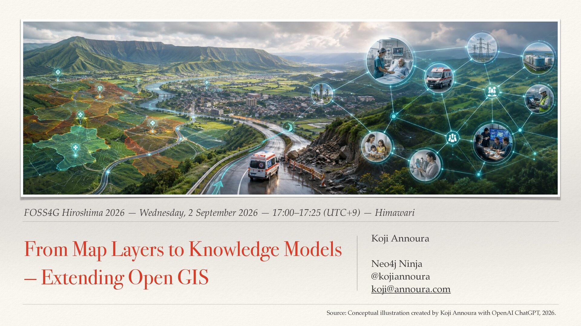
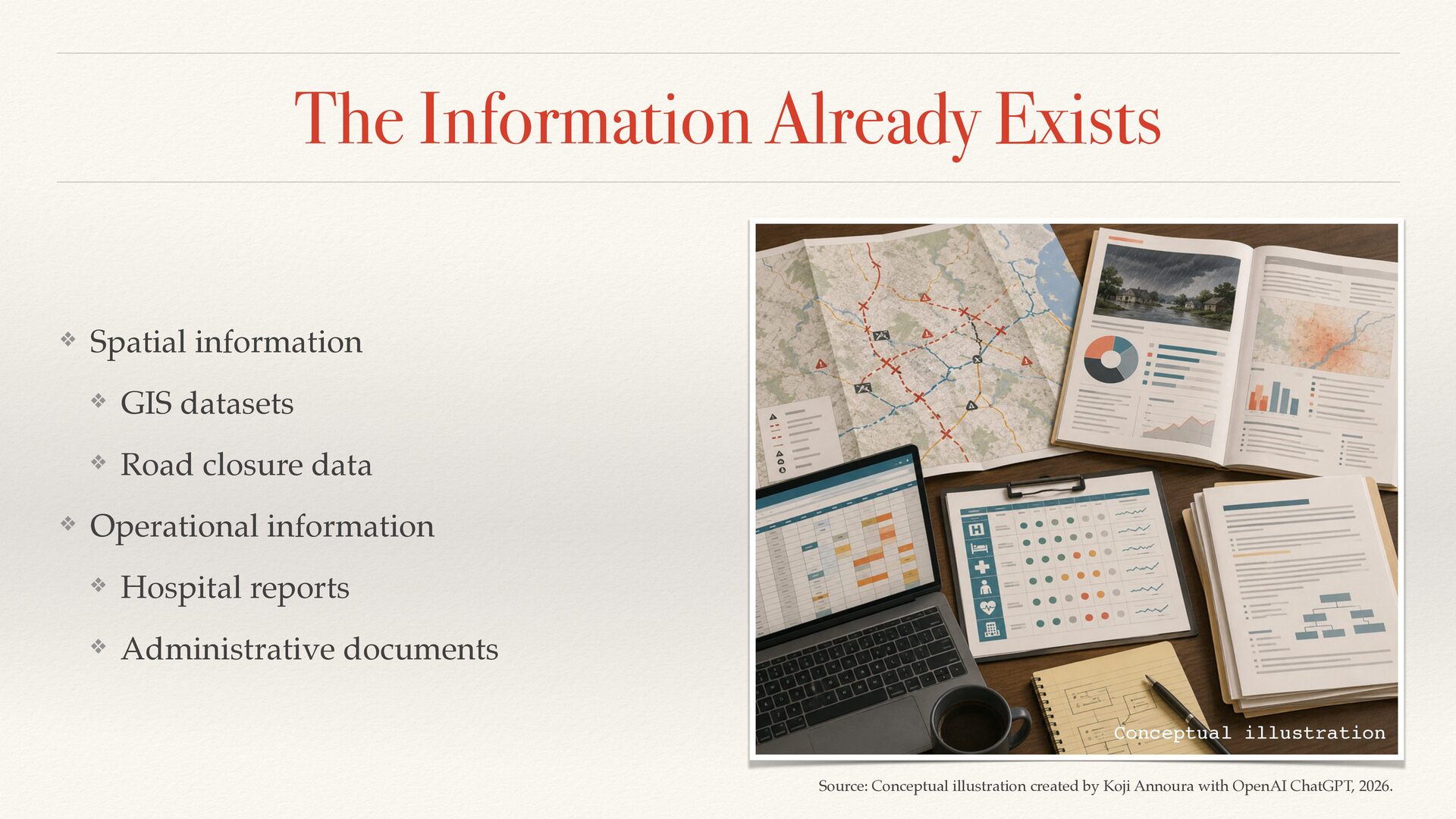
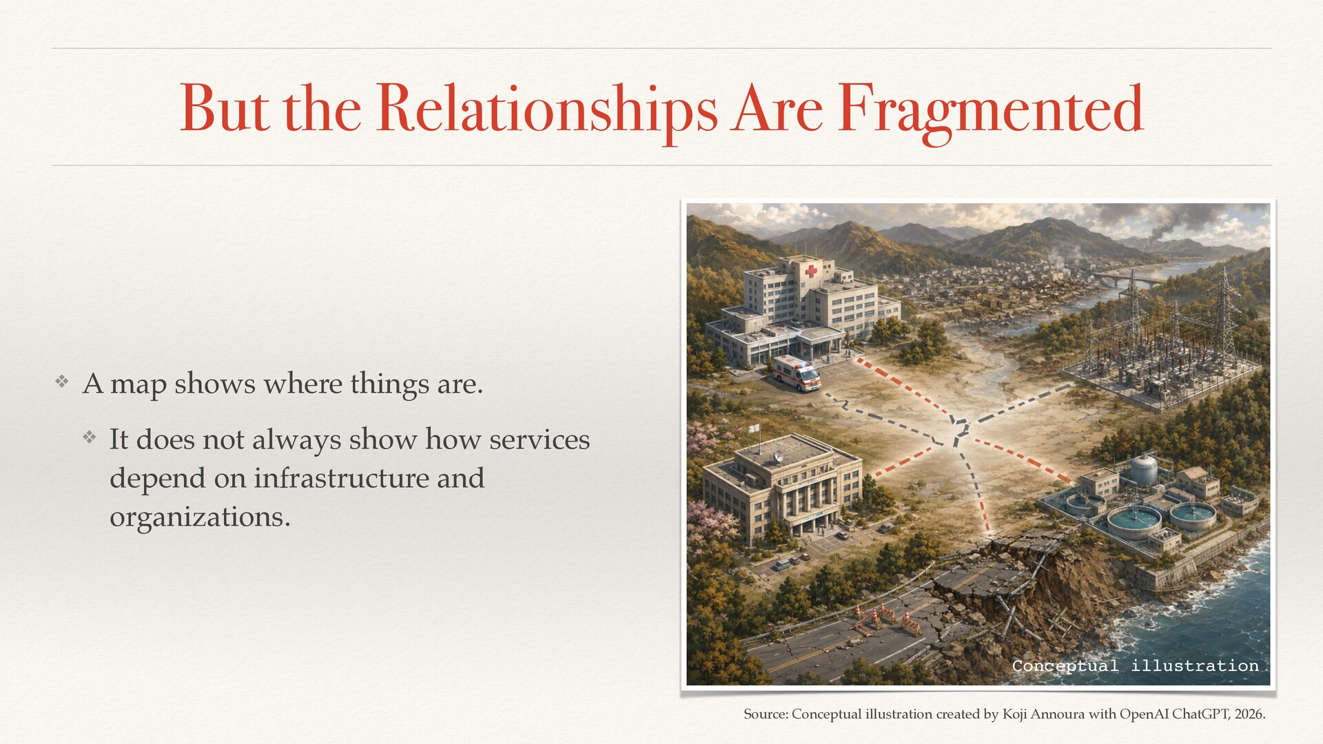
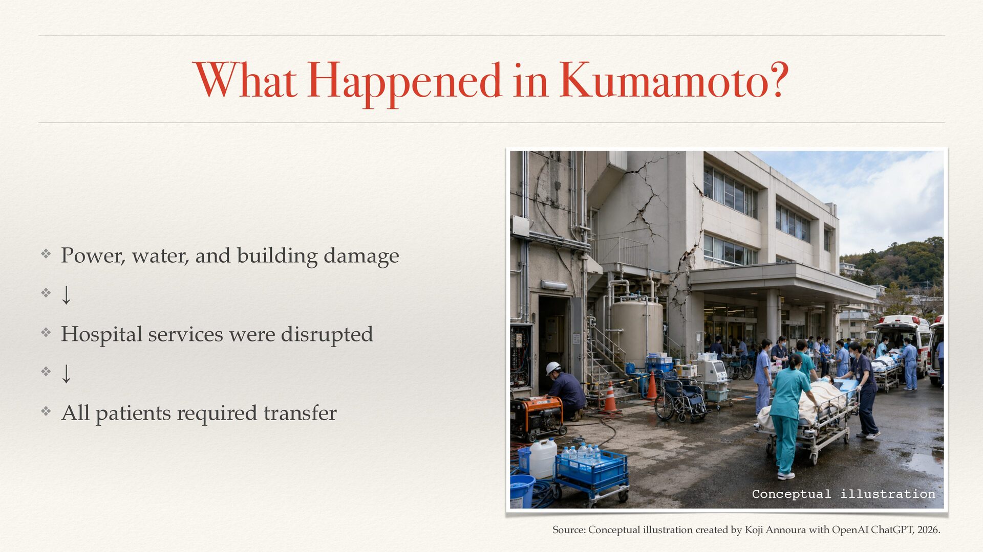
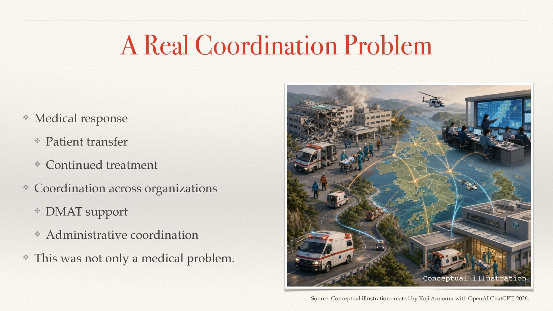
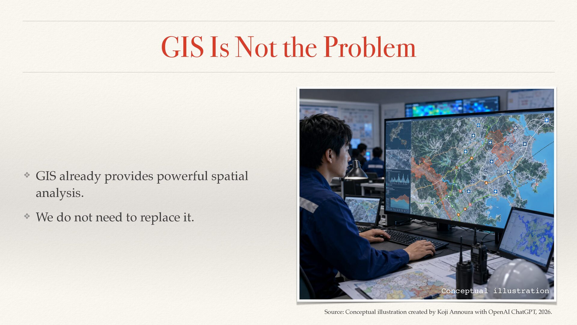
Open-source GIS tools such as QGIS and PostGIS excel at spatial analysis, but in earthquake-prone regions like Japan, layered maps alone are often insufficient. This talk introduces a practical extension that adds relational modeling to existing workflows, improving transparency and decision support in complex disaster scenarios.


 kojiannoura
 onk
onk
 camiha
 teamlab
 prog893
 yamanoku
.png) yamad
yamad
 bitkey
 jozono
 jyouryuusui
 techtekt
 sh_fk2
 yazm
yazm
 chriscoyier
 signer
 bryan
bryan
 mkilby
 rmw
rmw
 smashingmag
 asonas
 leimatthew05
 baasie
 jeffersonlam
 szymonslowik
 ipullrank
![Model the Relationships ❖ (Hospital)-[:DEPENDS_ON]->(Utility) ❖ (Hospital)-[:PROVIDES]->(Service) ❖ (Patient)-[:REQUIRES]->(Service) ❖](https://files.speakerdeck.com/presentations/409ed88bea7a40d5b535946e1a8043d6/slide_69.jpg)