used Google Maps before? • Who has used R before? • Who has used another GIS before? – (ArcGIS, MapInfo, QGIS, ….) • Who has used spatial data before? – (and not raised their hand so far!)
R and using R as a GIS • How to do mapping in R – With Google and without • Pros and cons of using R • Working with sensitive data – Presentations etc. will be available online
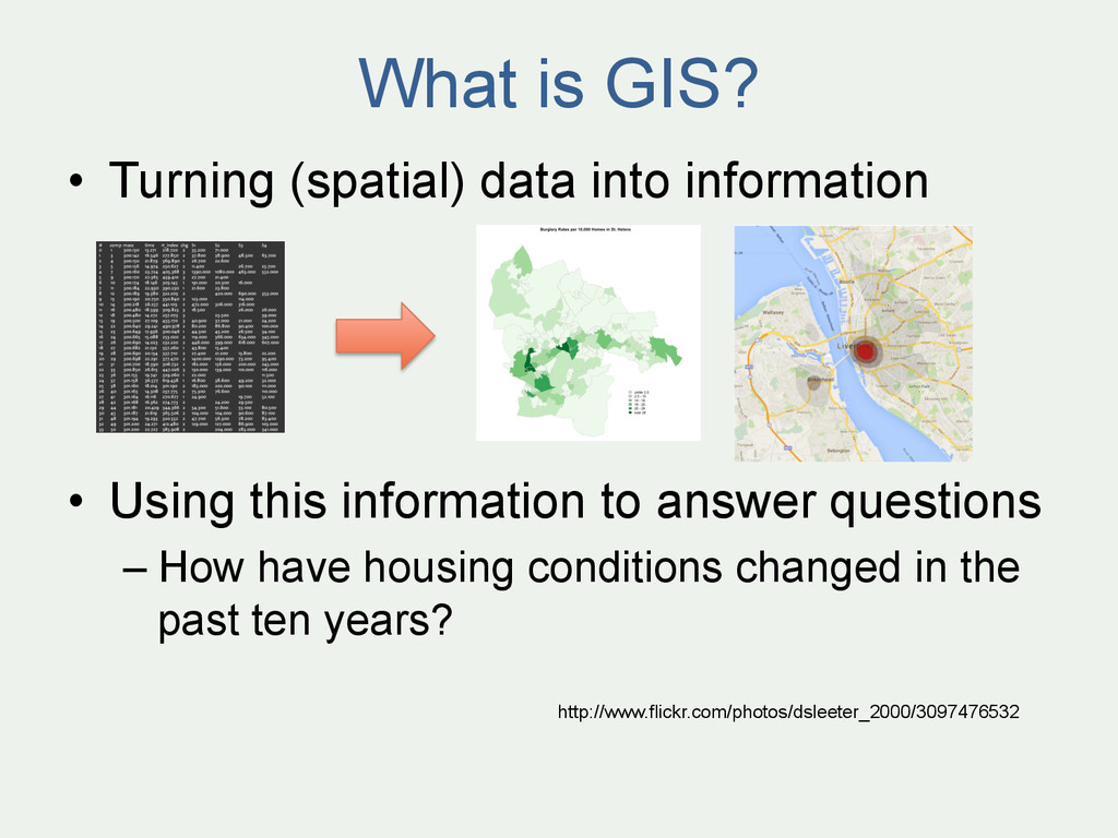
Using this information to answer questions – How have housing conditions changed in the past ten years? http://www.flickr.com/photos/dsleeter_2000/3097476532
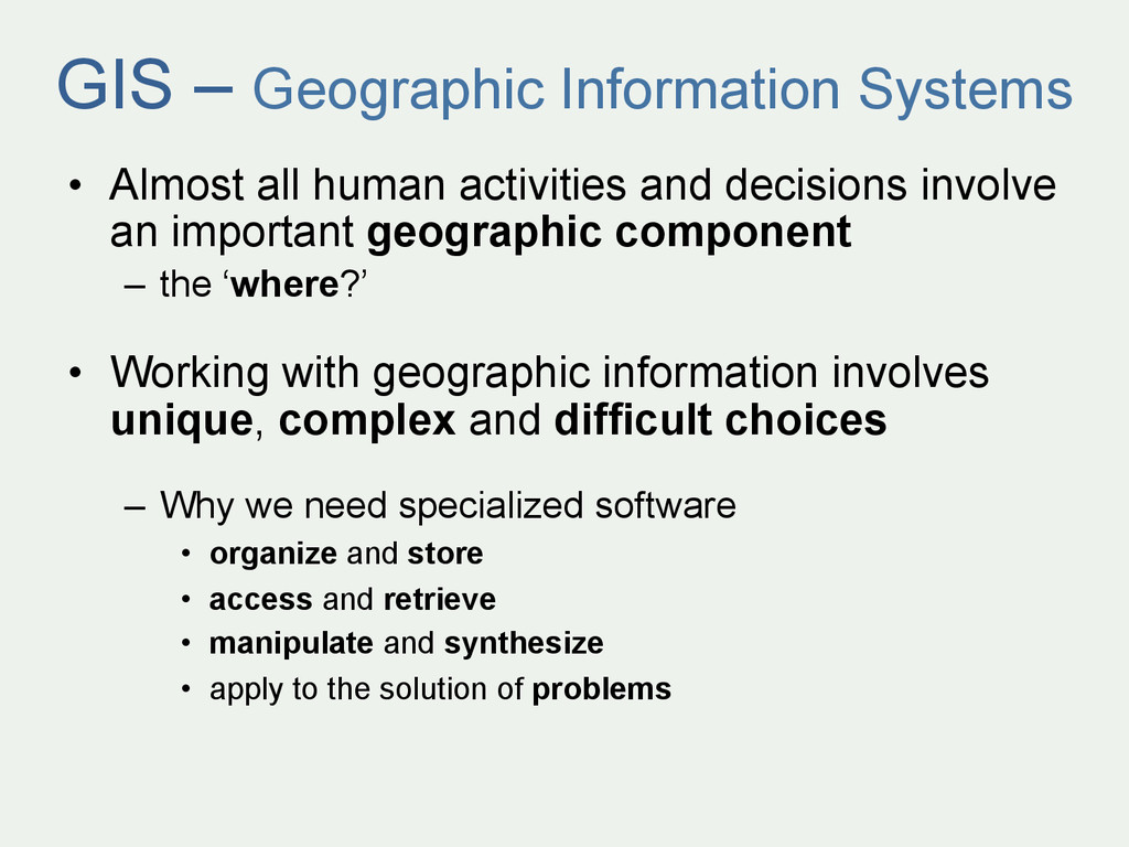
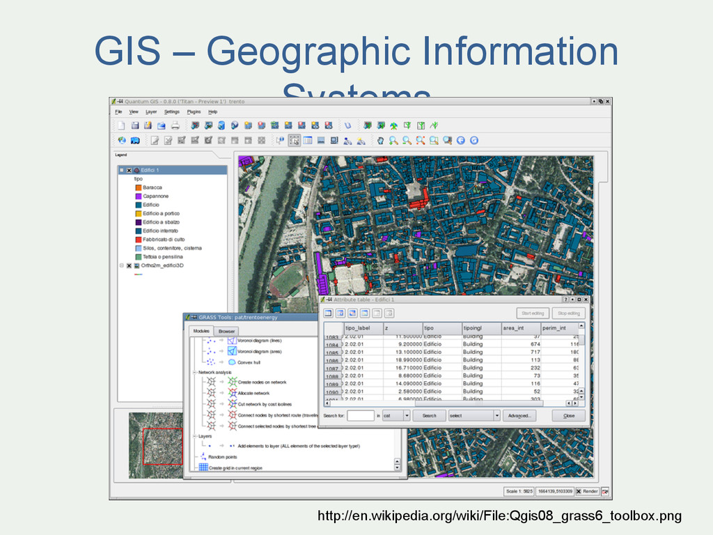
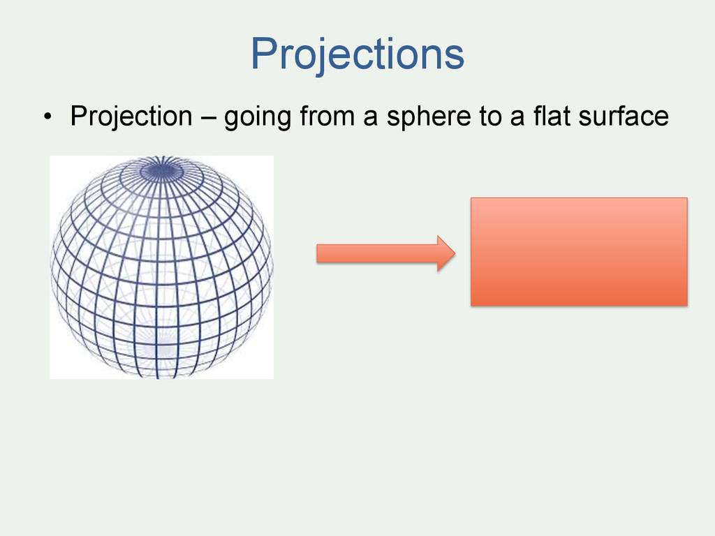
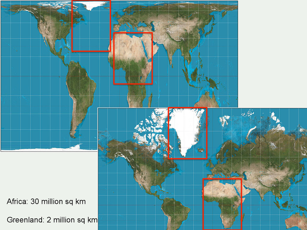
and decisions involve an important geographic component – the ‘where?’ • Working with geographic information involves unique, complex and difficult choices – Why we need specialized software • organize and store • access and retrieve • manipulate and synthesize • apply to the solution of problems
for statistical computing and graphics” • freely available = ‘free as in beer’ and ‘free as in speech’ • graphics = GIS • user contributed – GIS • packages / libraries
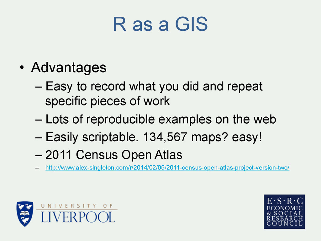
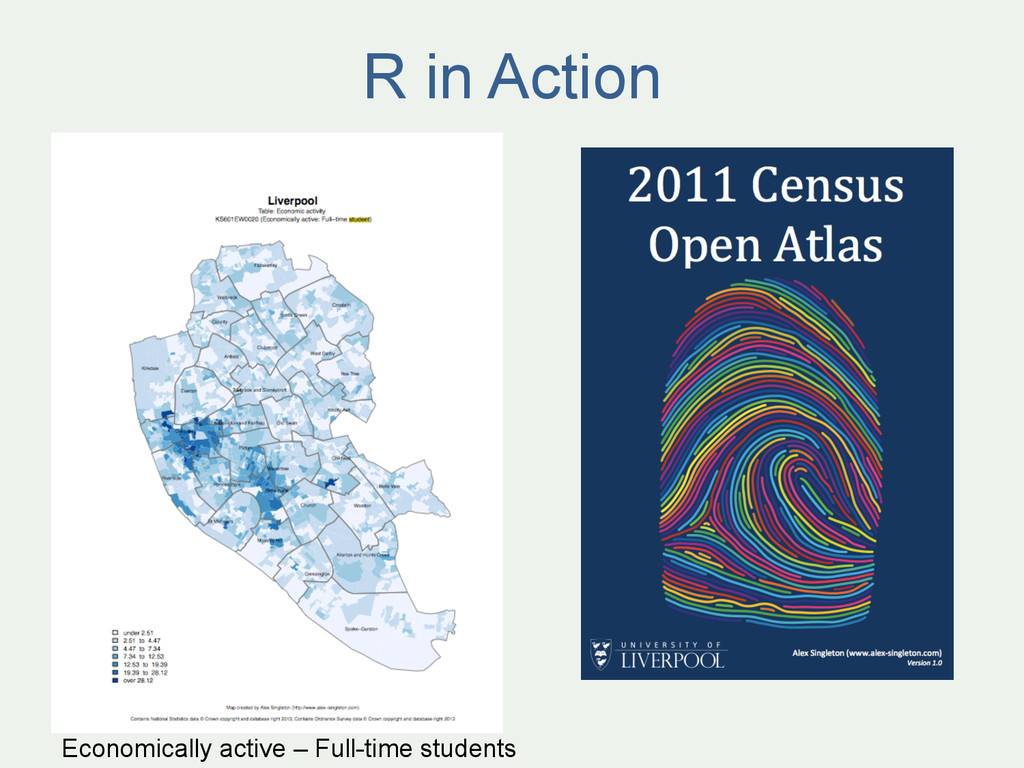
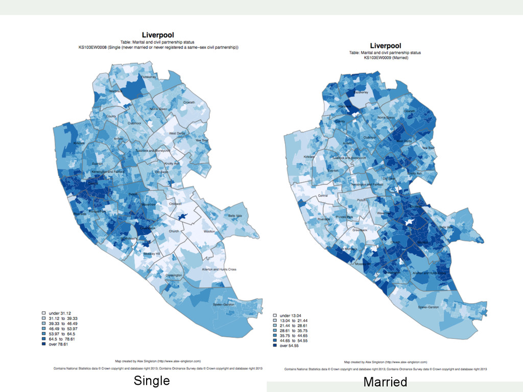
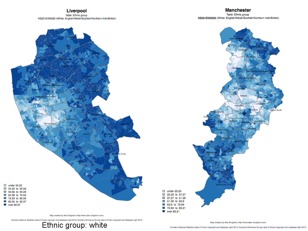
you did and repeat specific pieces of work – Lots of reproducible examples on the web – Easily scriptable. 134,567 maps? easy! – 2011 Census Open Atlas – http://www.alex-singleton.com/r/2014/02/05/2011-census-open-atlas-project-version-two/
52°N 37’ 30.32’’ (52.6250) 1°E 14’ 2.05’’ (1.2339) • British National Grid (Eastings & Northings) – Easting: 619301 Northing: 307416 EPSG = 27700 • Why is it important? – Police crime data in WGS84 (lat/long) – Google Maps uses WGS84 – LSOA use BNG (Eastings/Northings) – Need to convert between the two Coordinate Systems
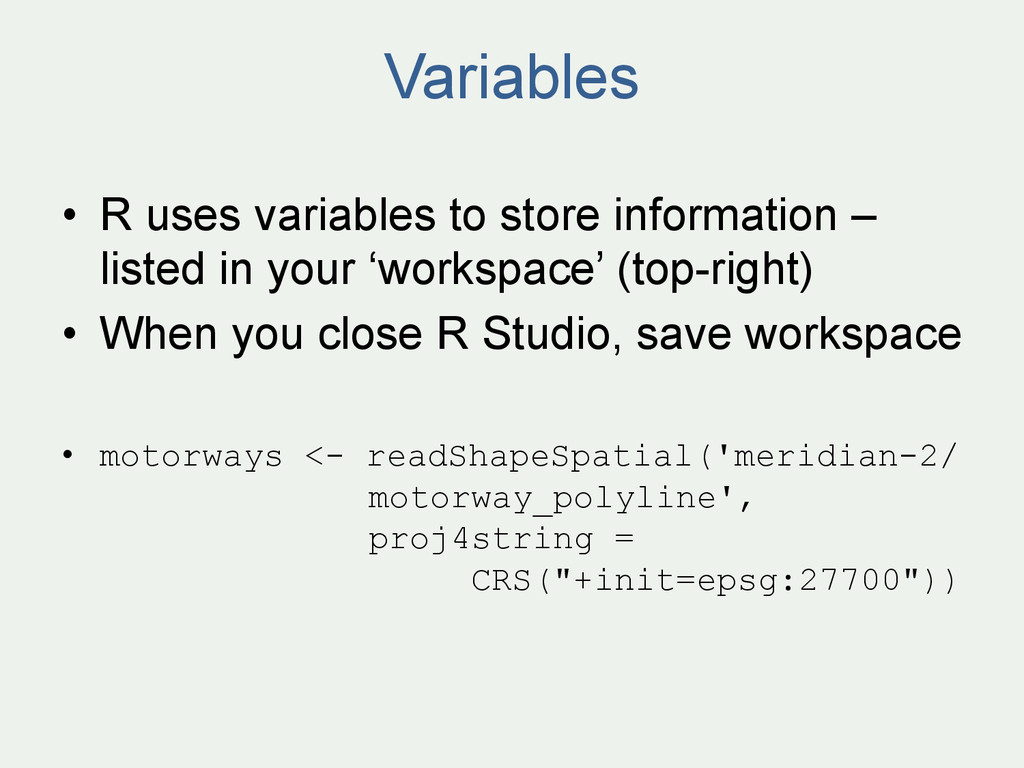
in your ‘workspace’ (top-right) • When you close R Studio, save workspace • motorways <- readShapeSpatial('meridian-2/ motorway_polyline', proj4string = CRS("+init=epsg:27700"))
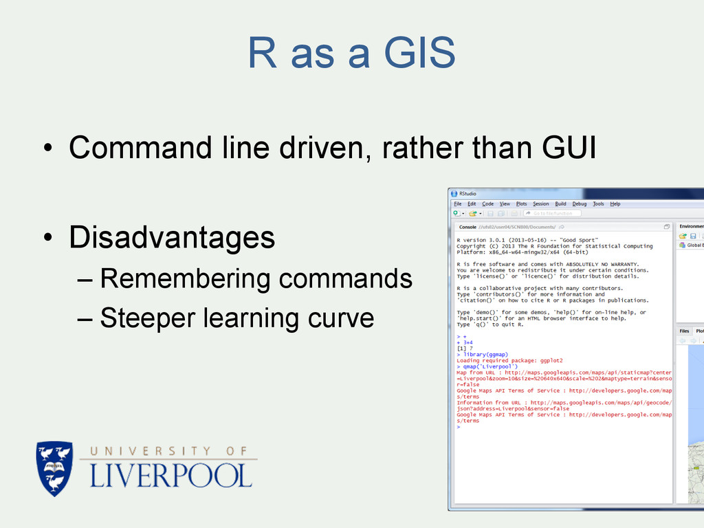
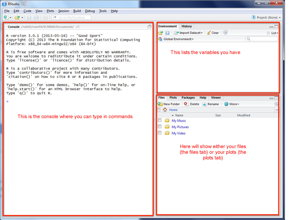
can type in commands Here will show either your files (the files tab) or your plots (the plots tab) This lists the variables you have This is where you can write scripts
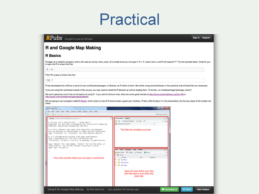
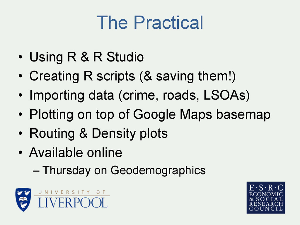
(& saving them!) • Importing data (crime, roads, LSOAs) • Plotting on top of Google Maps basemap • Routing & Density plots • Available online – Thursday on Geodemographics The Practical
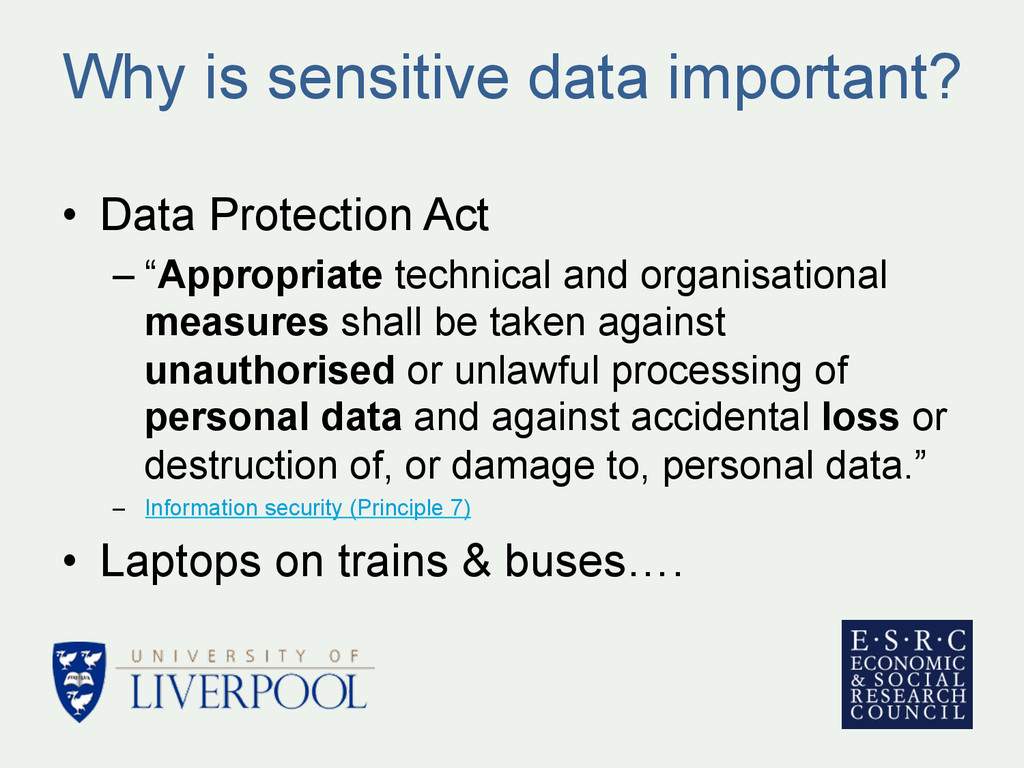
technical and organisational measures shall be taken against unauthorised or unlawful processing of personal data and against accidental loss or destruction of, or damage to, personal data.” – Information security (Principle 7) • Laptops on trains & buses….
Location… • Often data provider will insist on certain measures • School census data – Encryption, only identified authorised users • Your experience?? (discuss)
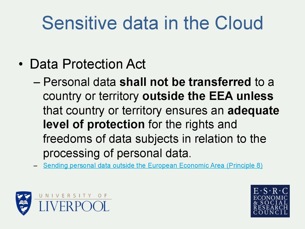
data shall not be transferred to a country or territory outside the EEA unless that country or territory ensures an adequate level of protection for the rights and freedoms of data subjects in relation to the processing of personal data. – Sending personal data outside the European Economic Area (Principle 8)
Belgium, Ireland – "however at this time selection of data center will make no guarantee that your data at rest is kept only in that region” (FAQ) • Amazon EC2 – Ireland (not UK) • Things will change in the future
– www.youtube.com/user/marinstatlectures/playlists – http://cran.r-project.org/doc/contrib/intro-spatial-rl.pdf • R problems – www.alex-singleton.com/R-Tutorial-Materials/ – “Why doesn’t my code work? - Common things to check”