Upgrade to Pro — share decks privately, control downloads, hide ads and more …

Apostle Islands nearshore monitoring and research

Apostle Islands nearshore monitoring and research

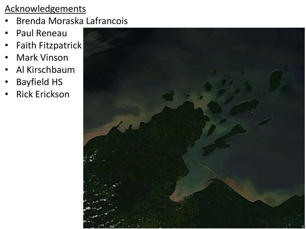
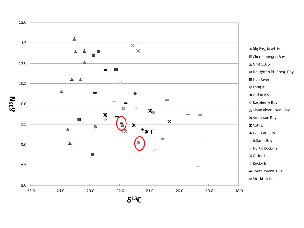
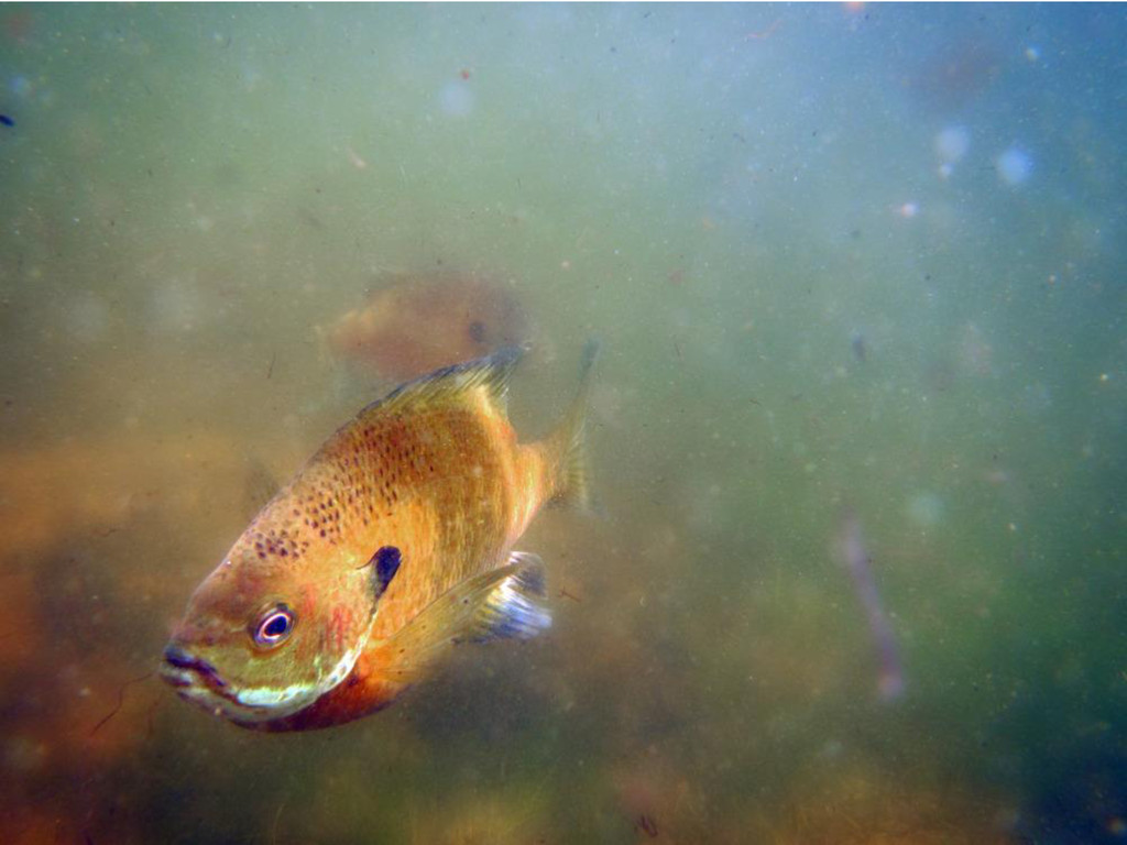
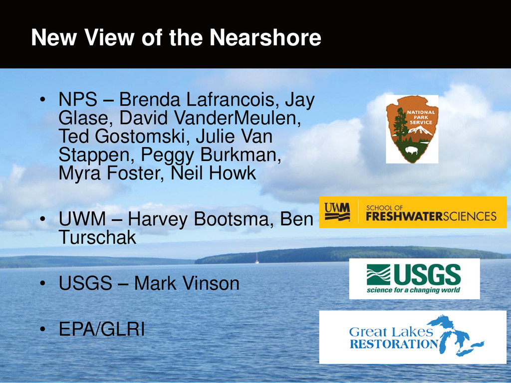
Brenda Moraska Lafrancois and Jay Glase (National Park Service), Savannah Deragon and Rick Erickson (Bayfield High School), Faith Fitzpatrick and Paul Reneau (US Geological Survey), Toben Lafrancois (Northland College, Northwest Passage), and Harvey Bootsma (UW- Milwaukee)
Presentation at the Chequamegon Bay Research Symposium, April 14, 2015

More Decks by Chequamegon Bay Area Partnership

Other Decks in Research

Transcript

  1. E X P E R I E N C E

    Y O U R A M E R I C A Apostle Islands Nearshore Monitoring and Research An interagency medley:  National Park Service  Bayfield High School  US Geological Survey  Northland College  Northwest Passage  UW-Milwaukee
  2. Highlighted Projects • Bad River sediment plume trajectories - insights

    from satellite imagery (Savannah Deragon and Rick Erickson) • Immersive engagement in food web research and underwater discovery (Toben Lafrancois) • Benthic mapping - current coverage and recent highlights (Jay Glase) • New view of the nearshore - fixed station monitoring and outreach (Brenda Lafrancois)
  3. Highlighted Projects • Bad River sediment plume trajectories - insights

    from satellite imagery (Savannah Deragon and Rick Erickson) • Immersive engagement in food web research and underwater discovery (Toben Lafrancois) • Benthic mapping - current coverage and recent highlights (Jay Glase) • New view of the nearshore - fixed station monitoring and outreach (Brenda Lafrancois)
  4. Bayfield Alternative Education Questions: • What happens to the Bad

    River sediment plume once it enters Lake Superior? • Under what conditions does it track along Long Island and into the Apostles?
  5. March 24, 2015 • Downloaded all MODIS images 2009-present (True

    color, 250 m resolution) • Clip APIS, Bad River subset from midwest region Methods
  6. Bad River gage, May 16 through May 31, 2013 Next

    Steps: Check event dates against flow, rain events
  7. Acknowledgements • Brenda Moraska Lafrancois • Paul Reneau • Faith

    Fitzpatrick • Mark Vinson • Al Kirschbaum • Bayfield HS • Rick Erickson
  8. Highlighted Projects • Bad River sediment plume trajectories - insights

    from satellite imagery (Savannah Deragon and Rick Erickson) • Immersive engagement in food web research and underwater discovery (Toben Lafrancois) • Benthic mapping - current coverage and recent highlights (Jay Glase) • New view of the nearshore - fixed station monitoring and outreach (Brenda Lafrancois)
  9. More information: Youtube: search for In A New Light Under

    the Surface / Toben Lafrancois / Ben Thwaits April issue of Wisconsin Natural Resources Magazine Upcoming: • Collaboration with APIS • Possible expansion to more communities via Sea Grant • Worldwide connection to great lakes (Malawi, Baikal)
  10. Highlighted Projects • Bad River sediment plume trajectories - insights

    from satellite imagery (Savannah Deragon and Rick Erickson) • Immersive engagement in food web research and underwater discovery (Toben Lafrancois) • Benthic mapping - current coverage and recent highlights (Jay Glase) • New view of the nearshore - fixed station monitoring and outreach (Brenda Lafrancois)
  11. Two photos with fly-in animation Benthic Mapping • NPS purchased

    a custom-built survey vessel, Echo, equipped with Reson 7125 multibeam sonar. • Sonar system includes: – 200 / 400kHz projectors – 2 GPS receivers – inertial measurement unit – sound velocity profiler – onboard computing system that provides real-time visualization.
  12. Two photos with fly-in animation Benthic Mapping Merged LiDAR Sonar

    imagery Resolution - 1m Lidar vs 50cm sonar Highlighted area uncharted iron ore mounds from 1898. Detail also shows boulder/rock substrate
  13. Highlighted Projects • Bad River sediment plume trajectories - insights

    from satellite imagery (Savannah Deragon and Rick Erickson) • Immersive engagement in food web research and underwater discovery (Toben Lafrancois) • Benthic mapping - current coverage and recent highlights (Jay Glase) • New view of the nearshore - fixed station monitoring and outreach (Brenda Lafrancois)
  14. Two photos with fly-in animation • NPS – Brenda Lafrancois,

    Jay Glase, David VanderMeulen, Ted Gostomski, Julie Van Stappen, Peggy Burkman, Myra Foster, Neil Howk • UWM – Harvey Bootsma, Ben Turschak • USGS – Mark Vinson • EPA/GLRI New View of the Nearshore
  15. Two photos with fly-in animation • Background: – Nearshore monitoring

    data scarce in GL, despite many stressors – NPS units ideal sentinel sites (natural labs; outreach platforms) • Key Components: – Establish nearshore monitoring stations in GL parks (APIS and SLBE) – Engage community New View of the Nearshore
  16. Two photos with fly-in animation • Considerations: – Complement other

    efforts by EPA, USGS – Address both immediate and long-term interests • Attributes: – Fixed station approach – Both continuous and periodic measurements New View of the Nearshore USGS Trawling Sites EPA NCCA Sites
  17. Two photos with fly-in animation New View of the Nearshore

    Primary station (co-located with USGS long-term trawling site) Secondary station (near Little Sand Bay visitor center; recreational hot spot)
  18. • Continuous: – Currents (ADCP) – Temp – Cond –

    DO – pH – Chl-a flourescence – Phycoerythrin flourescence – Chromophoric DOM – Turbidity – Light logger – Time lapse camera Two photos with fly-in animation New View of the Nearshore Equipment tripod, Sleeping Bear Dunes Major hydrodynamic processes Community metabolism Phytoplankton abundance Sediment resuspension; transport Confirm sed loading events; track fish mvts
  19. • Periodic sampling: – Water quality (SRP, TDP, PP, Chl-a,

    DOC) – Zooplankton (multiple sizes) – Fish (USGS trawling) – Sediment chl-a – Sediment OC – Invertebrates – Mussels • Habitat mapping and classification Two photos with fly-in animation New View of the Nearshore