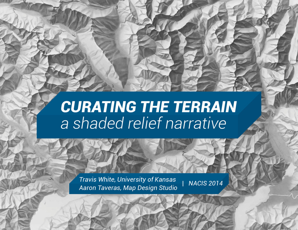
Travis White, University of Kansas
Aaron Taveras, Map Design Studio
NACIS 2014
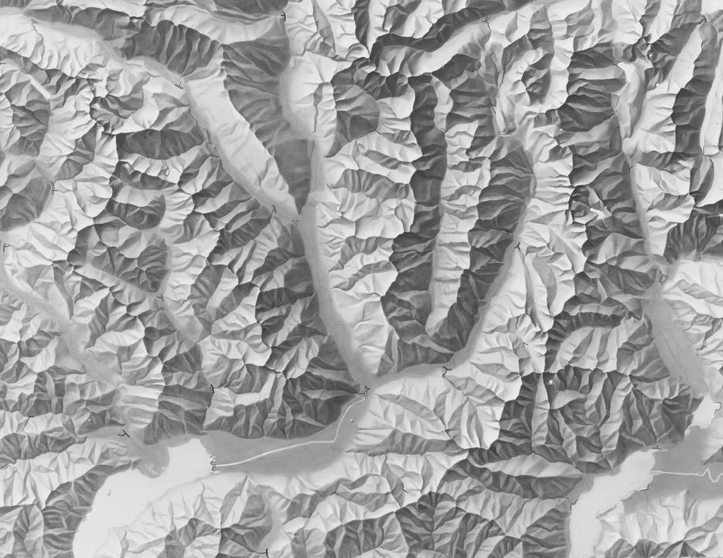
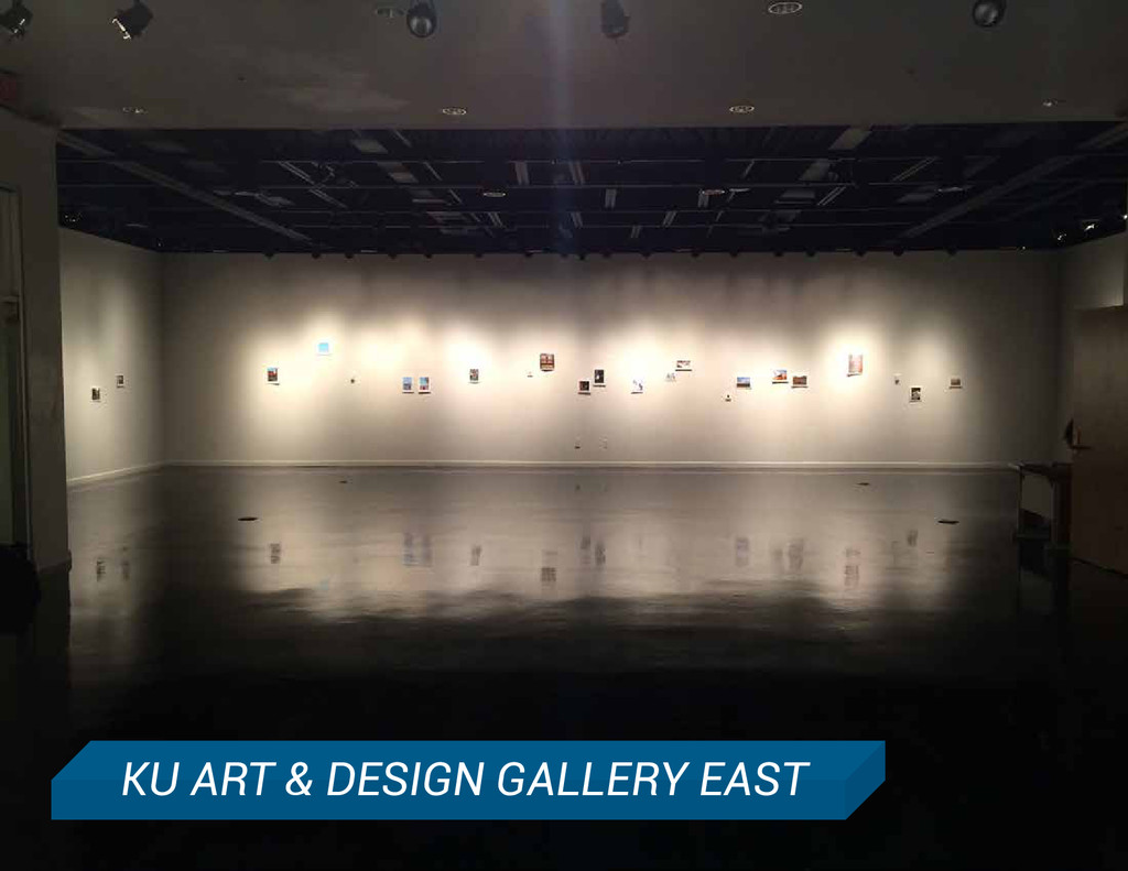
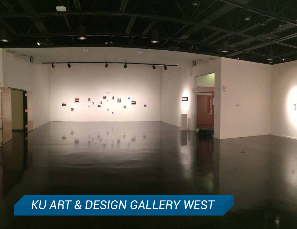
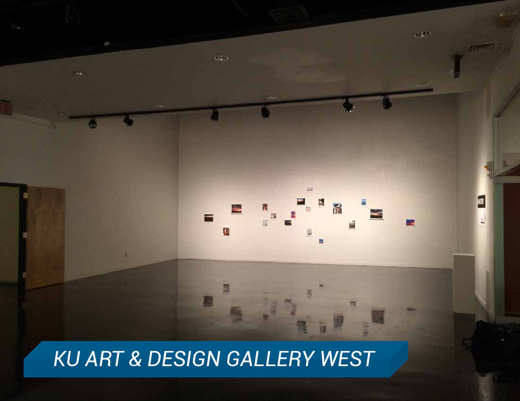
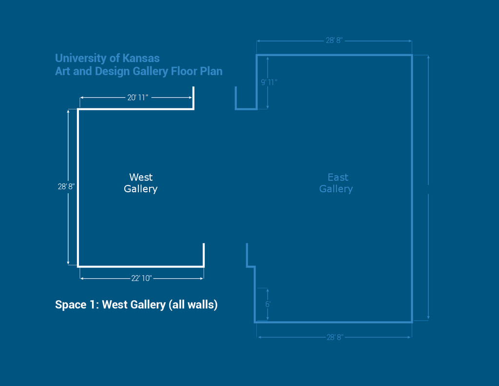
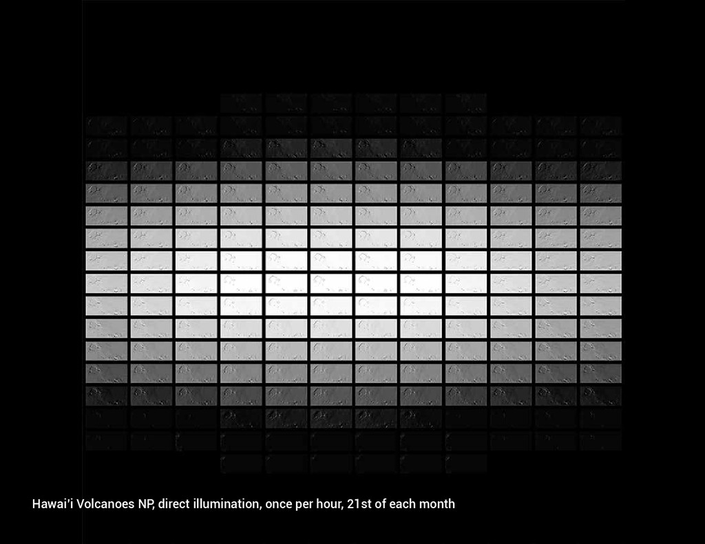
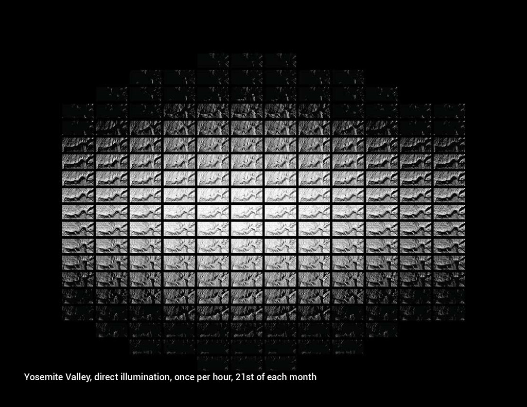
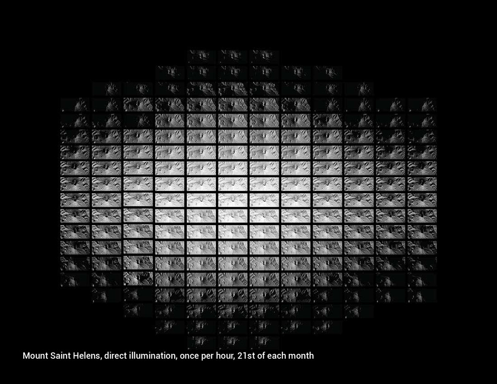
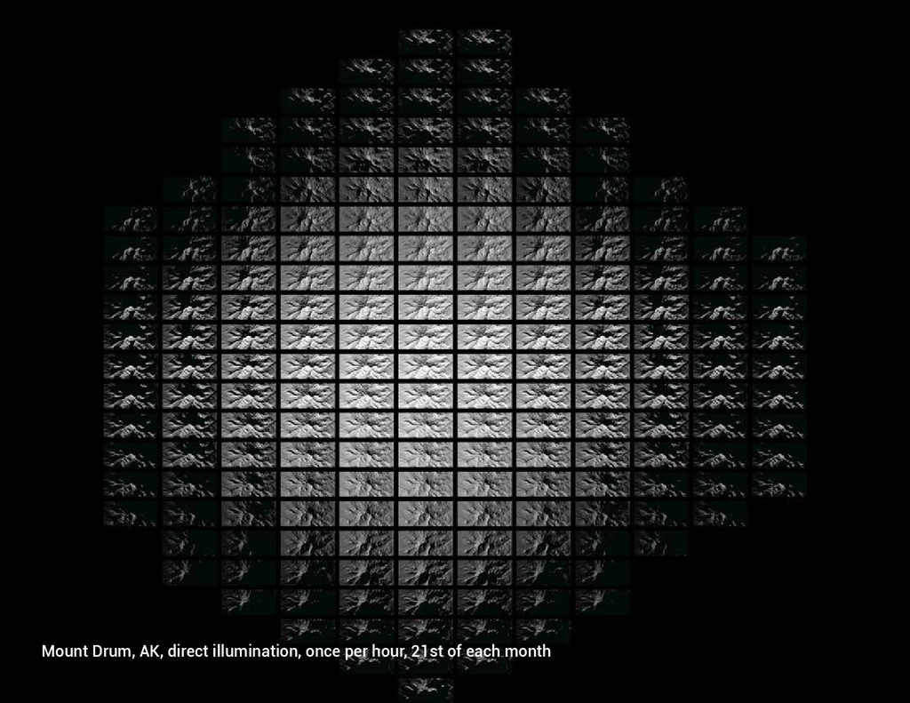
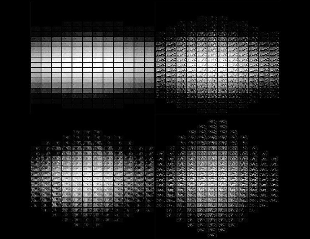
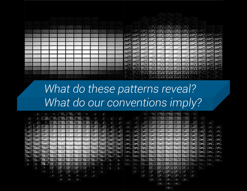
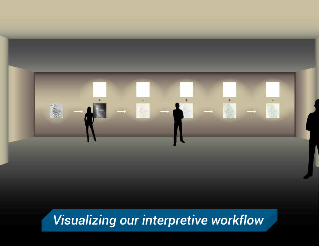
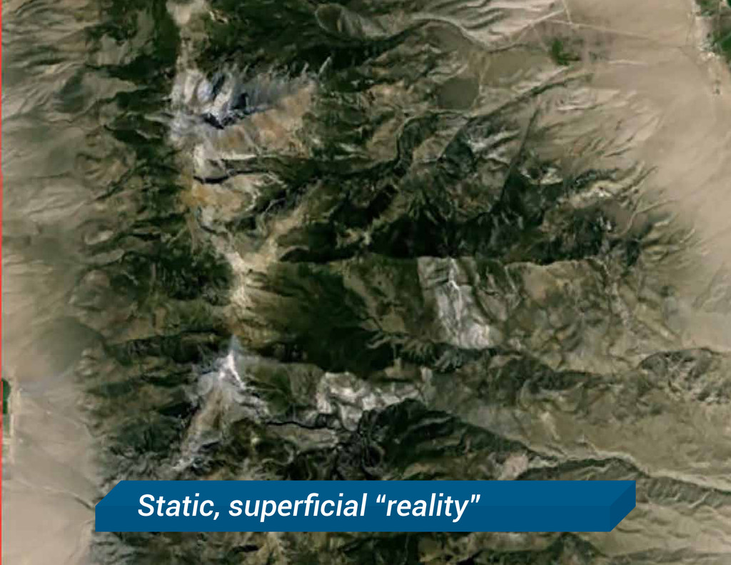
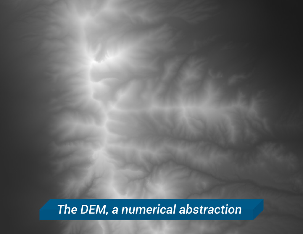
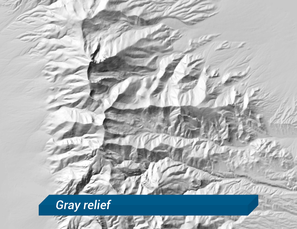
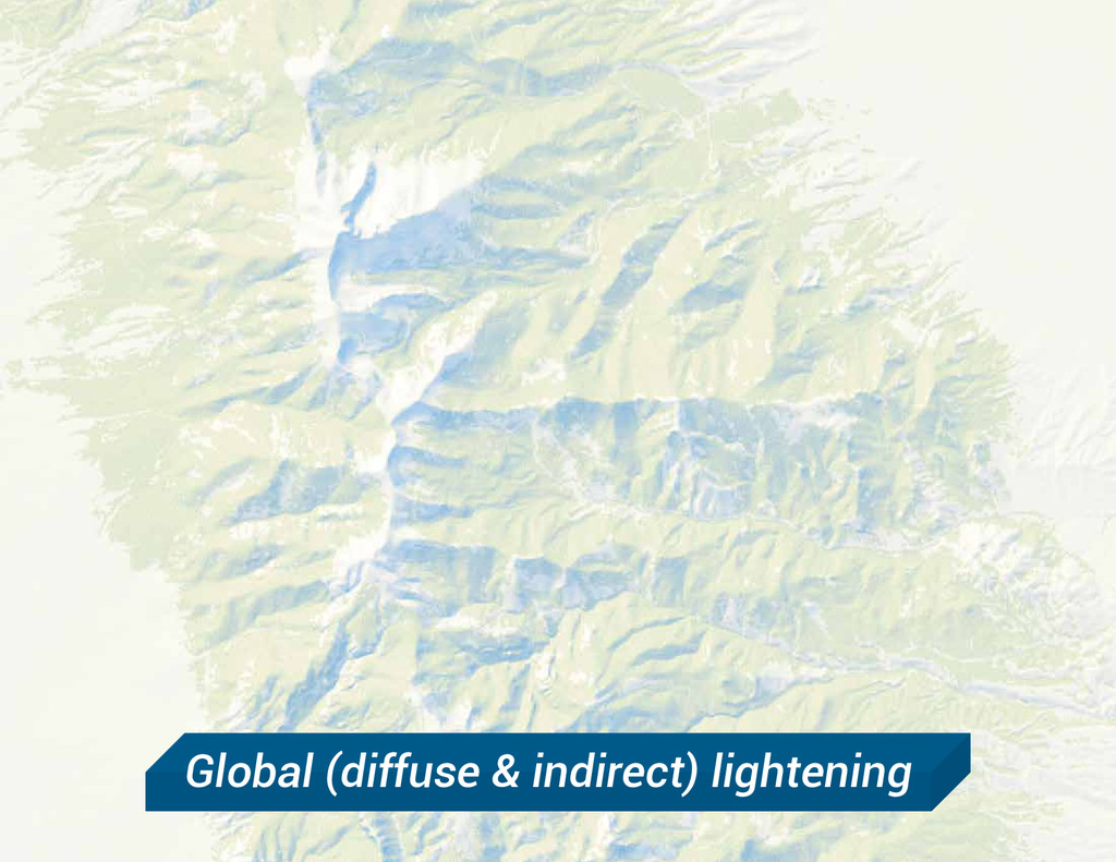
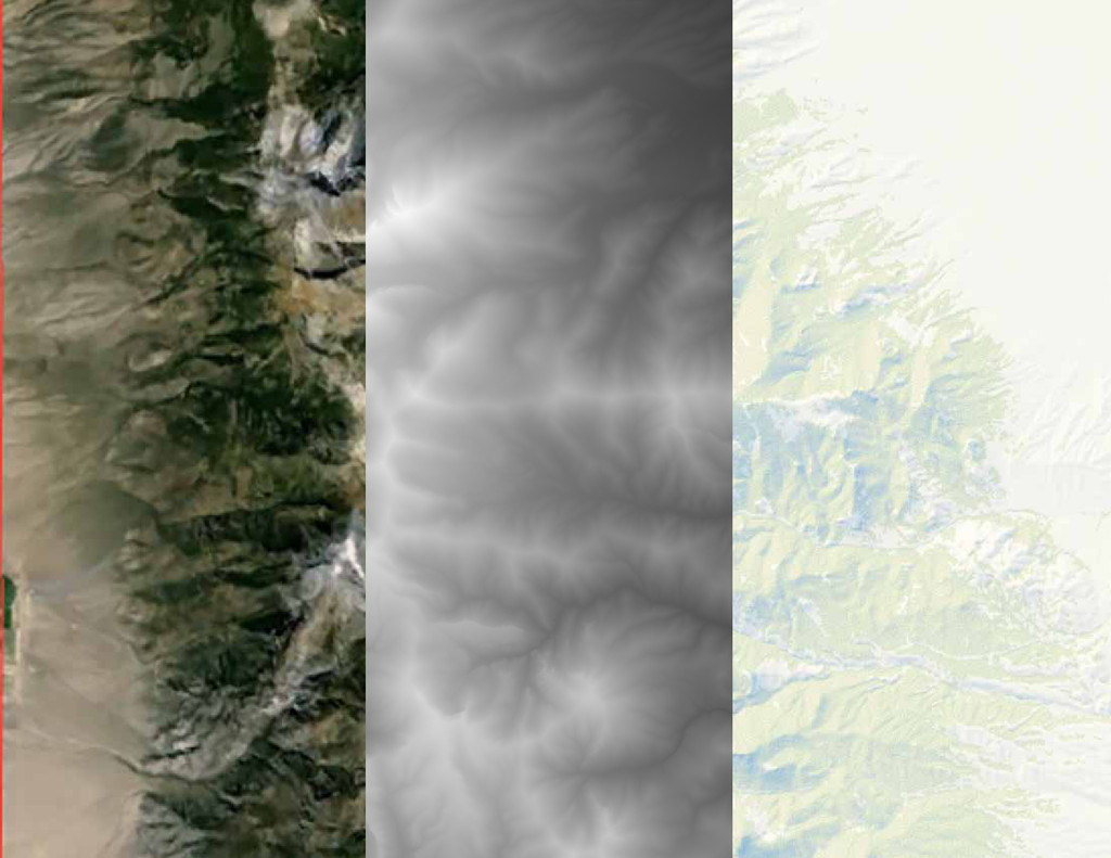
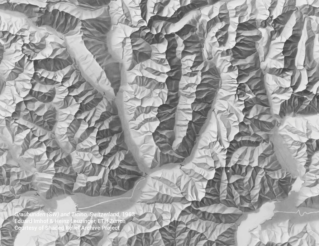
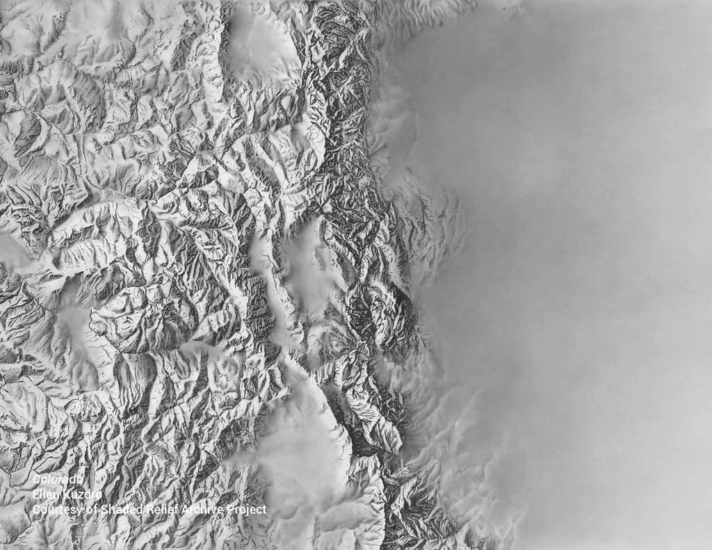
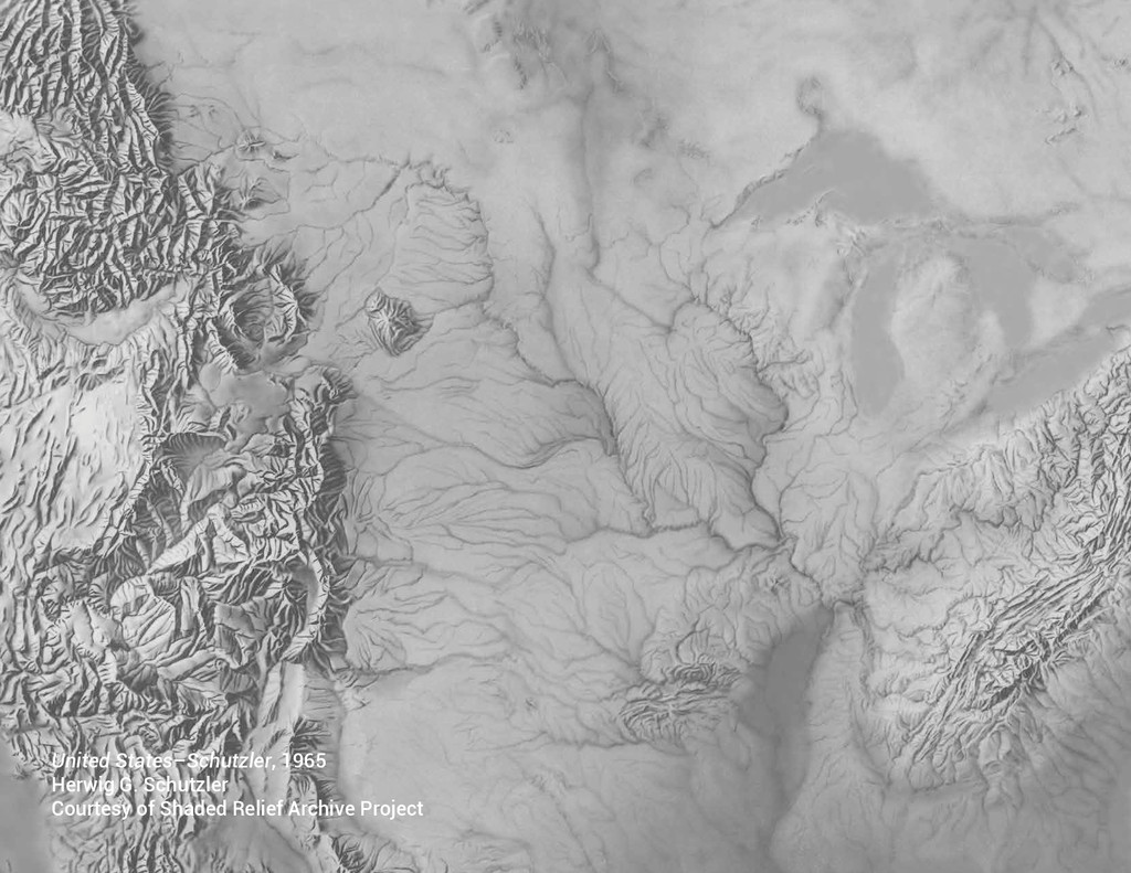
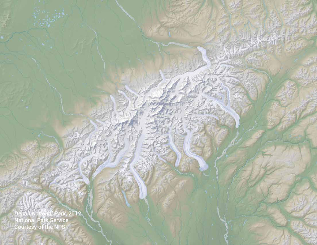
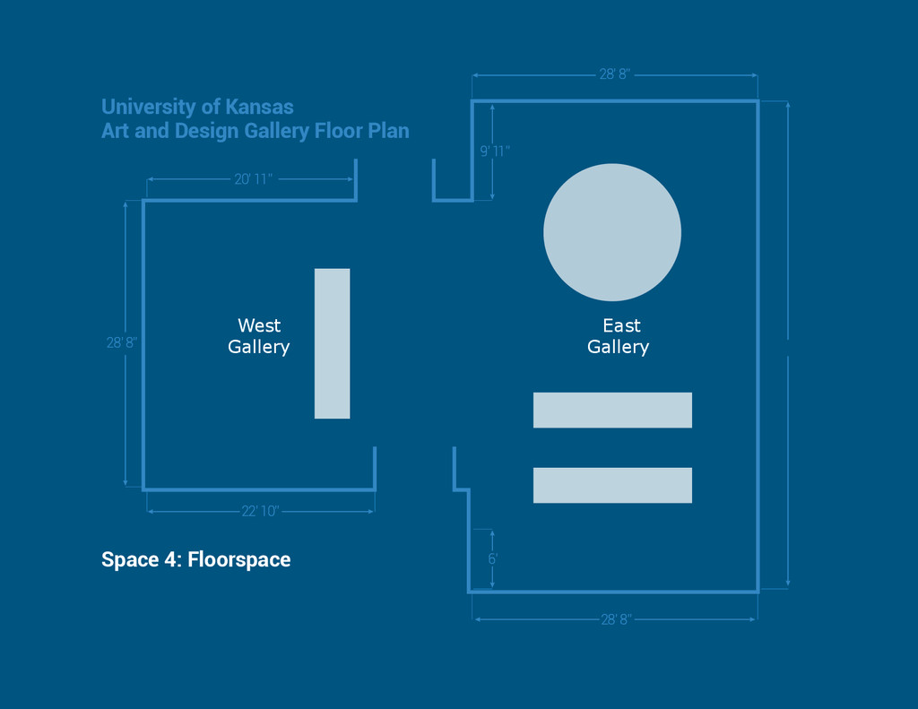
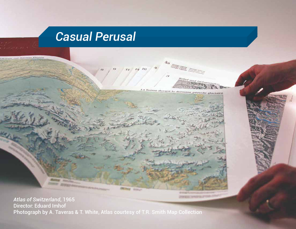
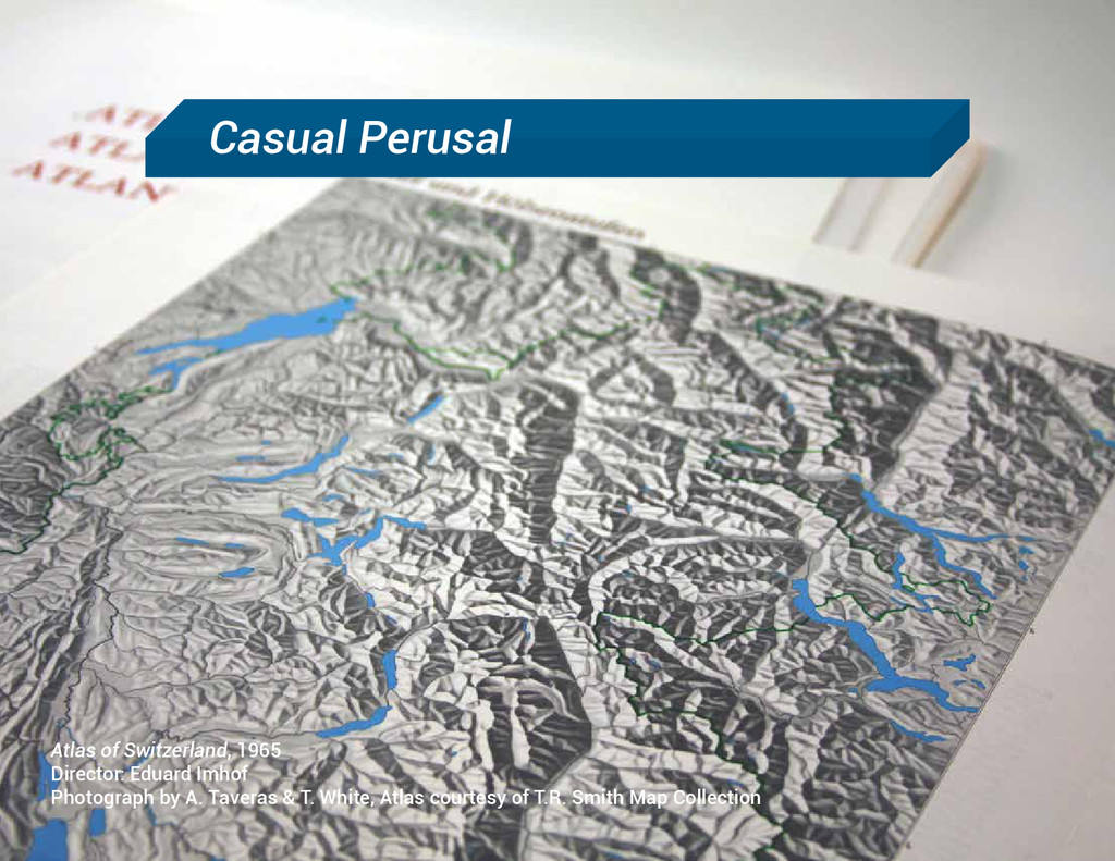
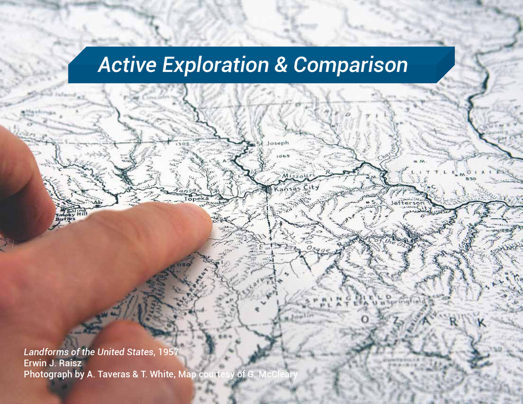
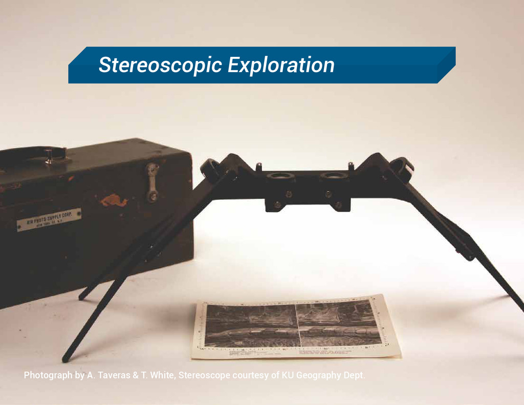
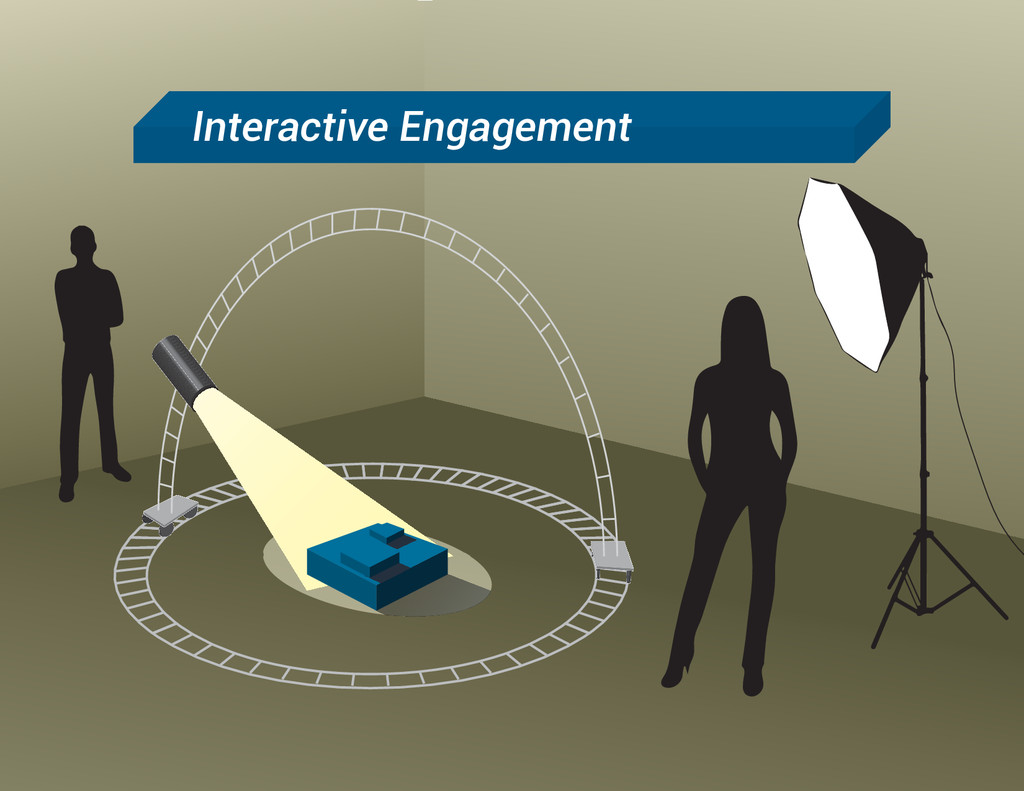
The authors have been invited to develop an exhibit on cartographic terrain representation for the University of Kansas Art & Design Gallery in the fall of 2014. Our goals for this exhibit are twofold: first, we wish to engage our audience in the processes used to transform "real" physical environments into cartographic depictions of those environments; second, we wish to challenge conventional notions about how the physical environment "should" appear on maps by comparing a variety of quantitative and artistic techniques for displaying topographic features. This talk follows the development of this exhibit from conception to actualization, drawing upon our own work and our key inspirations.
![Aaron Taveras, [email protected] mapdesignstudio.co Travis White, [email protected] @visualvariable (I’m a](https://files.speakerdeck.com/presentations/d914f82032de0132e19c06da3cbd8460/slide_50.jpg)