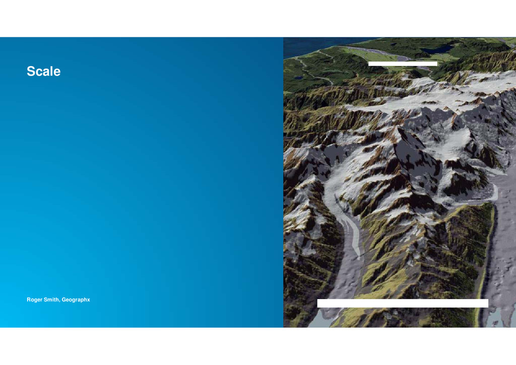
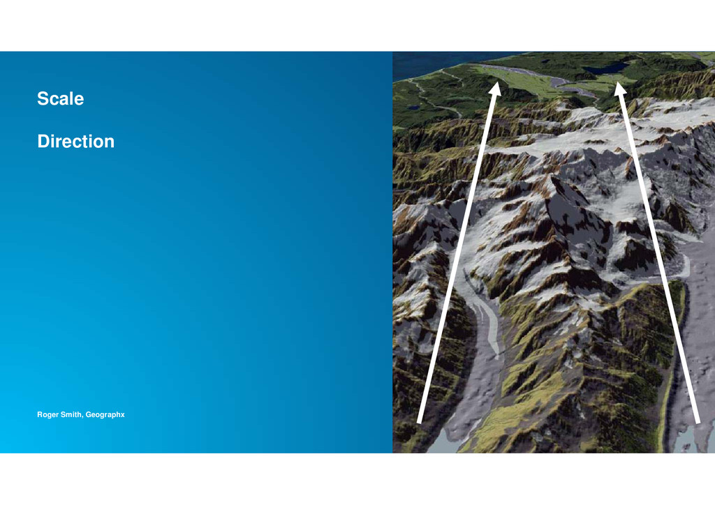
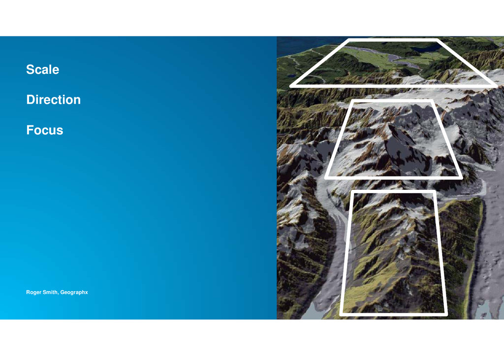
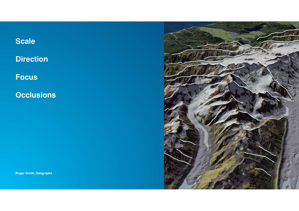
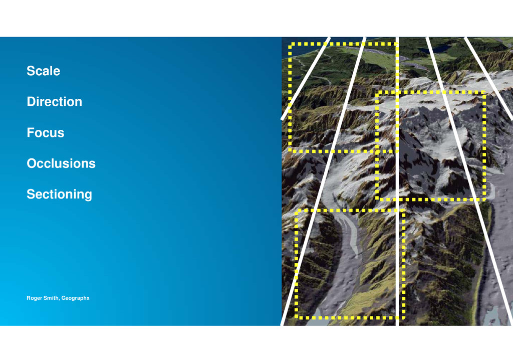
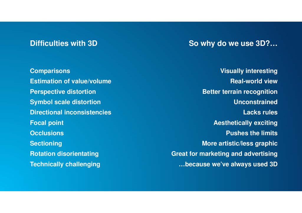
scale distortion Directional inconsistencies Focal point Occlusions Sectioning Rotation disorientating Technically challenging So why do we use 3D?… Visually interesting Real-world view Better terrain recognition Unconstrained Lacks rules Aesthetically exciting Pushes the limits More artistic/less graphic Great for marketing and advertising …because we’ve always used 3D
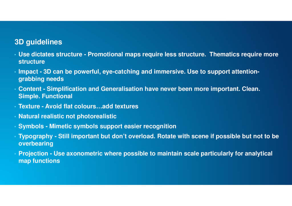
less structure. Thematics require more structure • Impact - 3D can be powerful, eye-catching and immersive. Use to support attention- grabbing needs • Content - Simplification and Generalisation have never been more important. Clean. Simple. Functional • Texture - Avoid flat colours…add textures • Natural realistic not photorealistic • Symbols - Mimetic symbols support easier recognition • Typography - Still important but don’t overload. Rotate with scene if possible but not to be overbearing • Projection - Use axonometric where possible to maintain scale particularly for analytical map functions
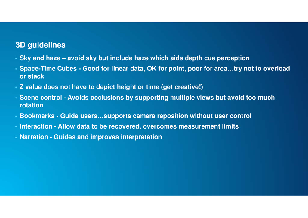
include haze which aids depth cue perception • Space-Time Cubes - Good for linear data, OK for point, poor for area…try not to overload or stack • Z value does not have to depict height or time (get creative!) • Scene control - Avoids occlusions by supporting multiple views but avoid too much rotation • Bookmarks - Guide users…supports camera reposition without user control • Interaction - Allow data to be recovered, overcomes measurement limits • Narration - Guides and improves interpretation
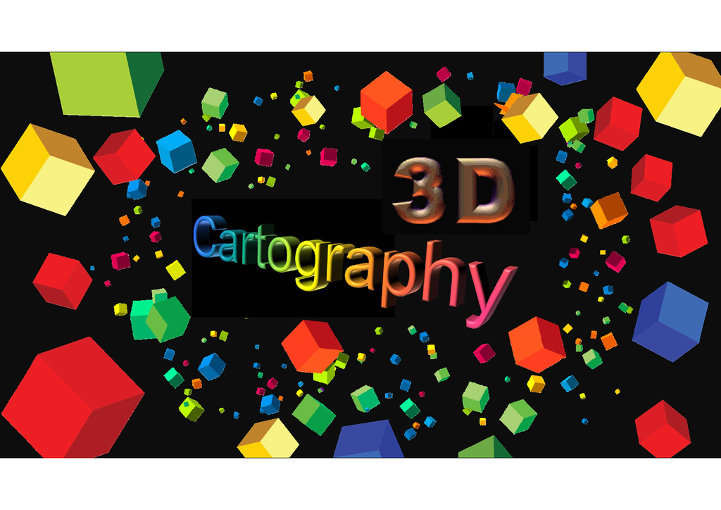
![DEVELOPING A LANGUAGE FOR 3D CARTOGRAPHY Kenneth Field @kennethfield [email protected]](https://files.speakerdeck.com/presentations/b5434a8726b74557ac4784d9fa25e21b/slide_0.jpg)
![carto.maps.arcgis.com @kennethfield [email protected] Thank you](https://files.speakerdeck.com/presentations/b5434a8726b74557ac4784d9fa25e21b/slide_34.jpg)