Upgrade to Pro — share decks privately, control downloads, hide ads and more …

Mapping Narratives: The Spatiotemporal in Digital Literary Cartographies

Mapping Narratives: The Spatiotemporal in Digital Literary Cartographies

Leah Thomas

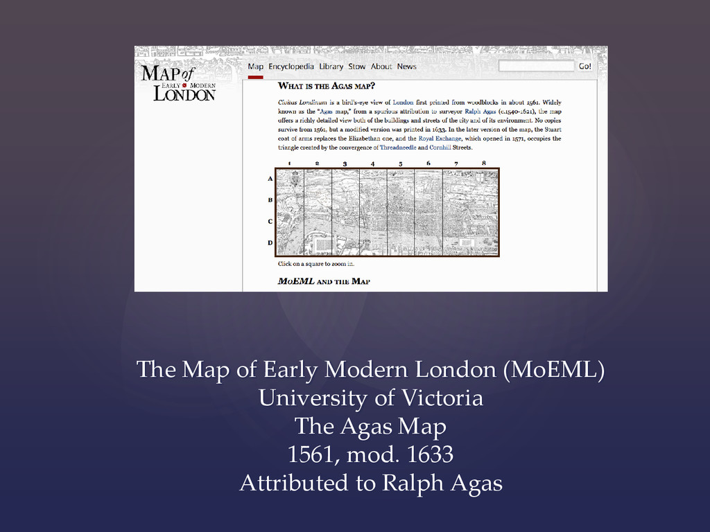
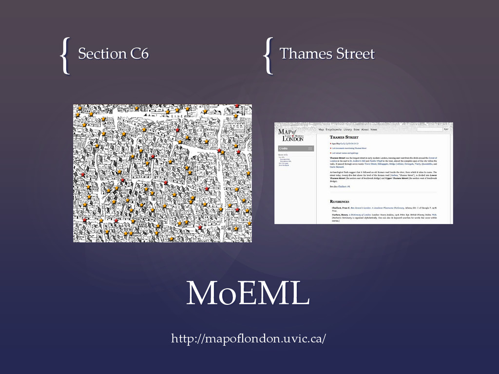
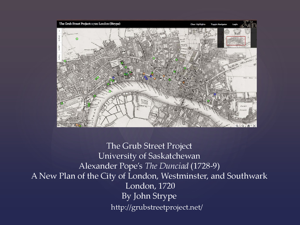
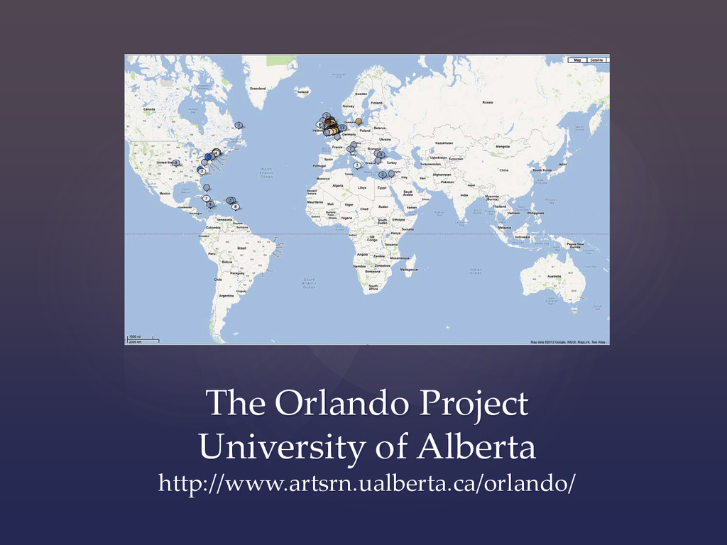
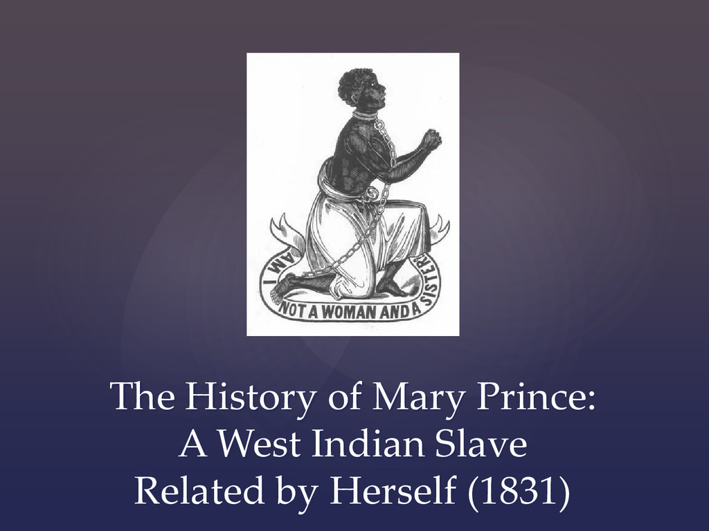
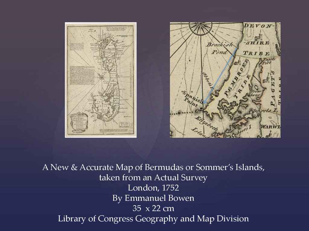
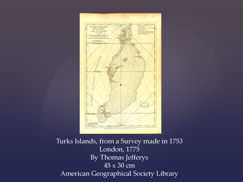
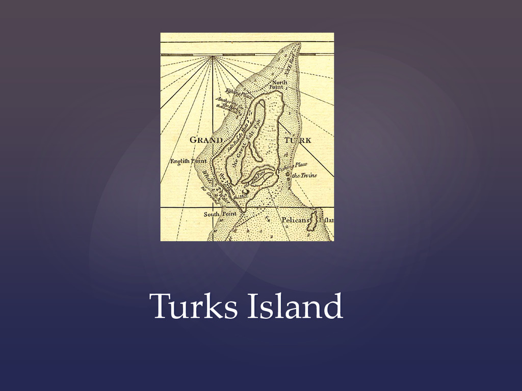
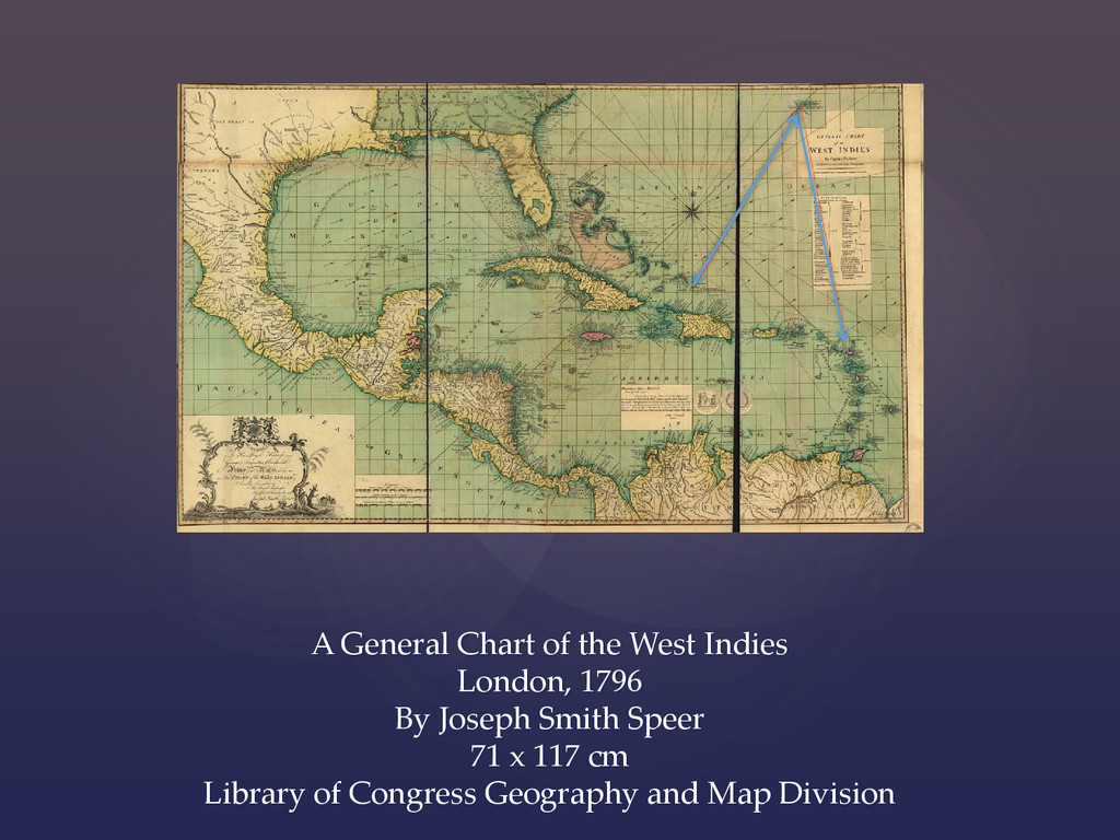
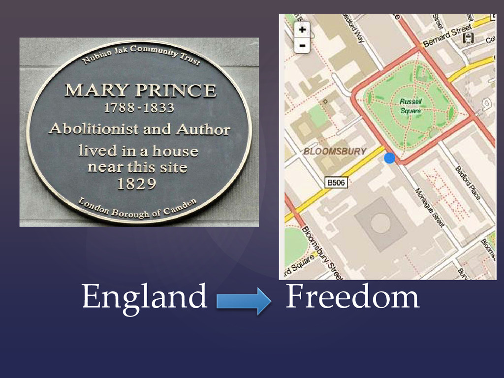
This presentation will provide a working definition of digital literary cartographies and discuss how these cartographies present spatiotemporal elements of literary narratives. I will explore examples of successful projects such as The Grub Street Project and the Early Modern Map of London that map literary narratives and examine what these projects reveal about these narratives. I will highlight my own digital literary cartography using Mary Prince's slave narrative The History of Mary Prince, a West Indian Slave, Related by Herself (1831). I define this work also as a literary text because of its use of sensibility popular in contemporaneous novels. Additionally, including this work demonstrates literary and historical intersections. This project will incorporate digital images of contemporaneous maps to contextualize the geographic imagination. Comparing this project to existent digital literary cartographies will illumine the spatiotemporal mapping of literary texts.

NACIS 2014

Nathaniel V. KELSO

October 09, 2014
Tweet

More Decks by Nathaniel V. KELSO

Other Decks in Design

Transcript

  1. { Mapping Narratives: The Spatiotemporal in Digital Literary Cartographies Leah

    Thomas, PhD Assistant Professor of English Dept. of Languages & Literature Virginia State University NACIS 2014
  2. The Map of Early Modern London (MoEML) University of Victoria

    The Agas Map 1561, mod. 1633 Attributed to Ralph Agas
  3. The Grub Street Project University of Saskatchewan Alexander Pope’s The

    Dunciad (1728-9) A New Plan of the City of London, Westminster, and Southwark London, 1720 By John Strype http://grubstreetproject.net/
  4. A New & Accurate Map of Bermudas or Sommer’s Islands,

    taken from an Actual Survey London, 1752 By Emmanuel Bowen 35 x 22 cm Library of Congress Geography and Map Division
  5. Turks Islands, from a Survey made in 1753 London, 1775

    By Thomas Jefferys 45 x 30 cm American Geographical Society Library
  6. Antigua, Surveyed by Robert Baker, Surveryor General of that Island,

    Engraved and Improved by Thomas Jefferys London, 1775 45 x 60 cm Norman B. Leventhal Map Center, Boston Public Library
  7. A General Chart of the West Indies London, 1796 By

    Joseph Smith Speer 71 x 117 cm Library of Congress Geography and Map Division