Upgrade to Pro — share decks privately, control downloads, hide ads and more …

What's in a map? - Google Launchpad Talk

What's in a map? - Google Launchpad Talk

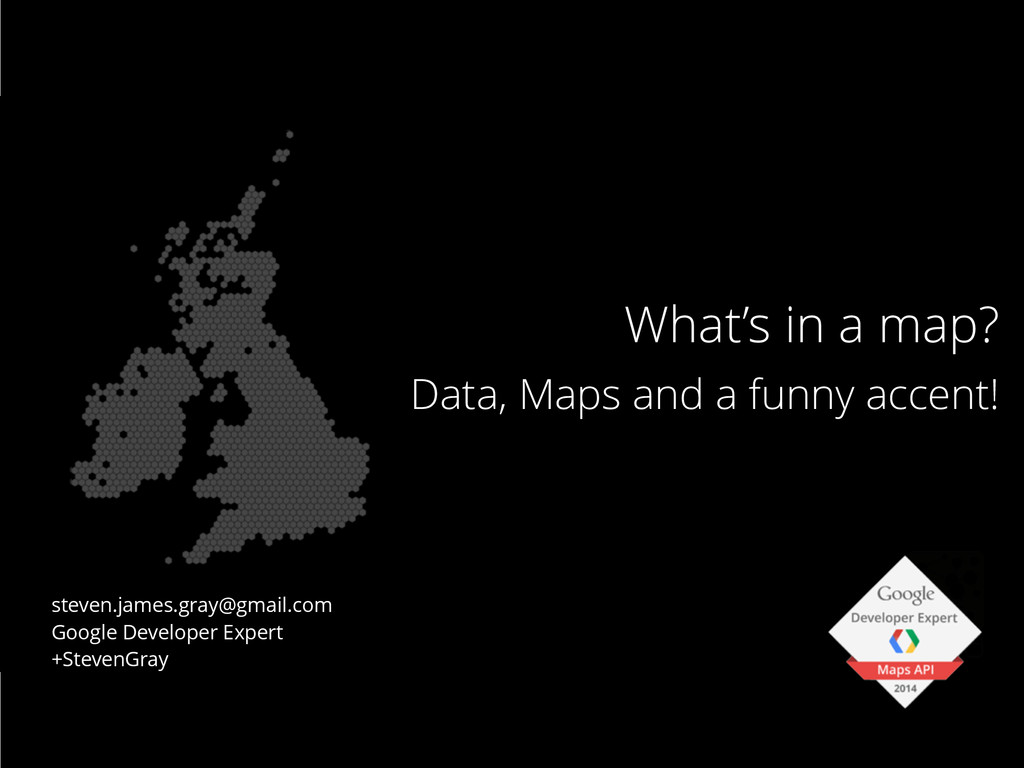
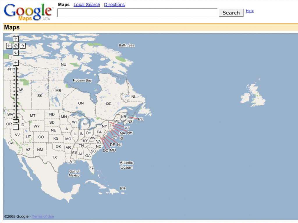
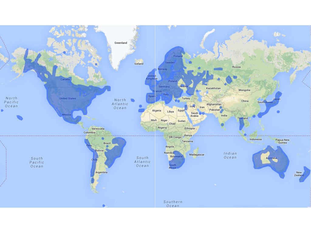
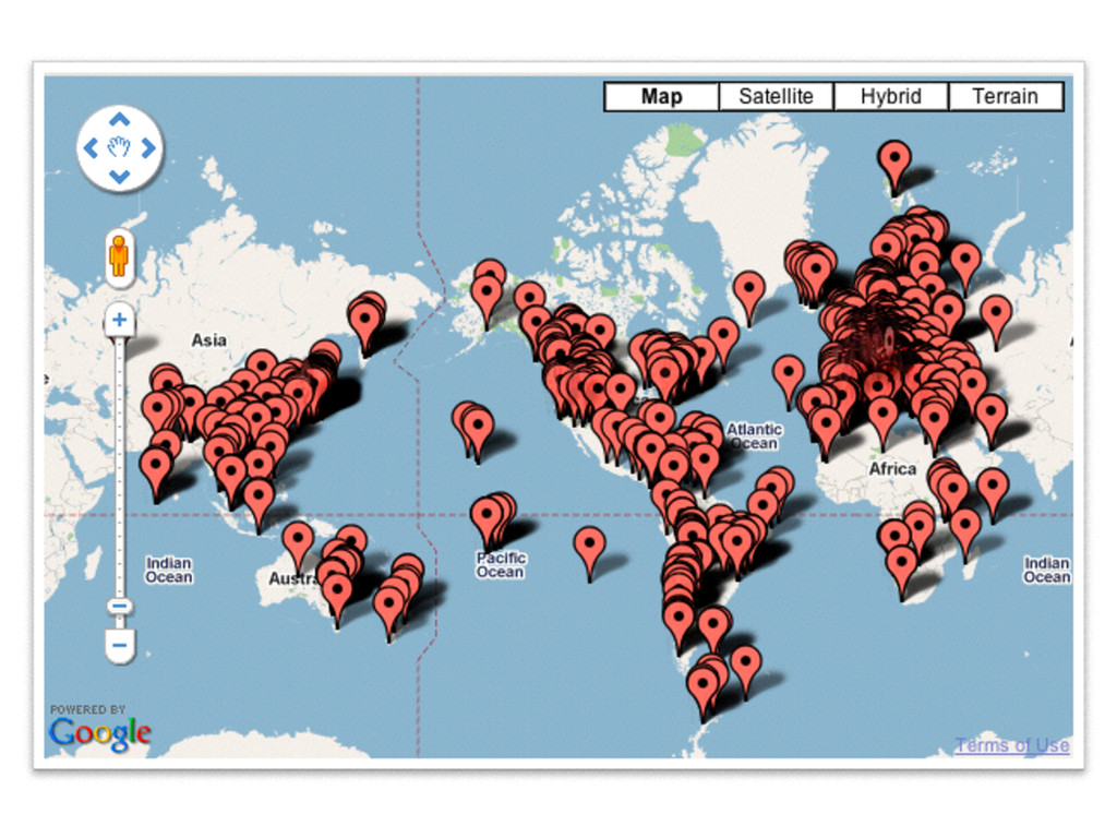
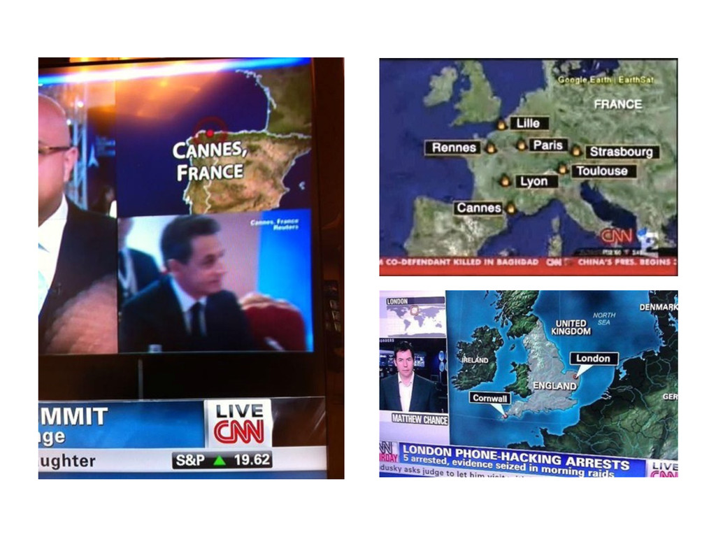
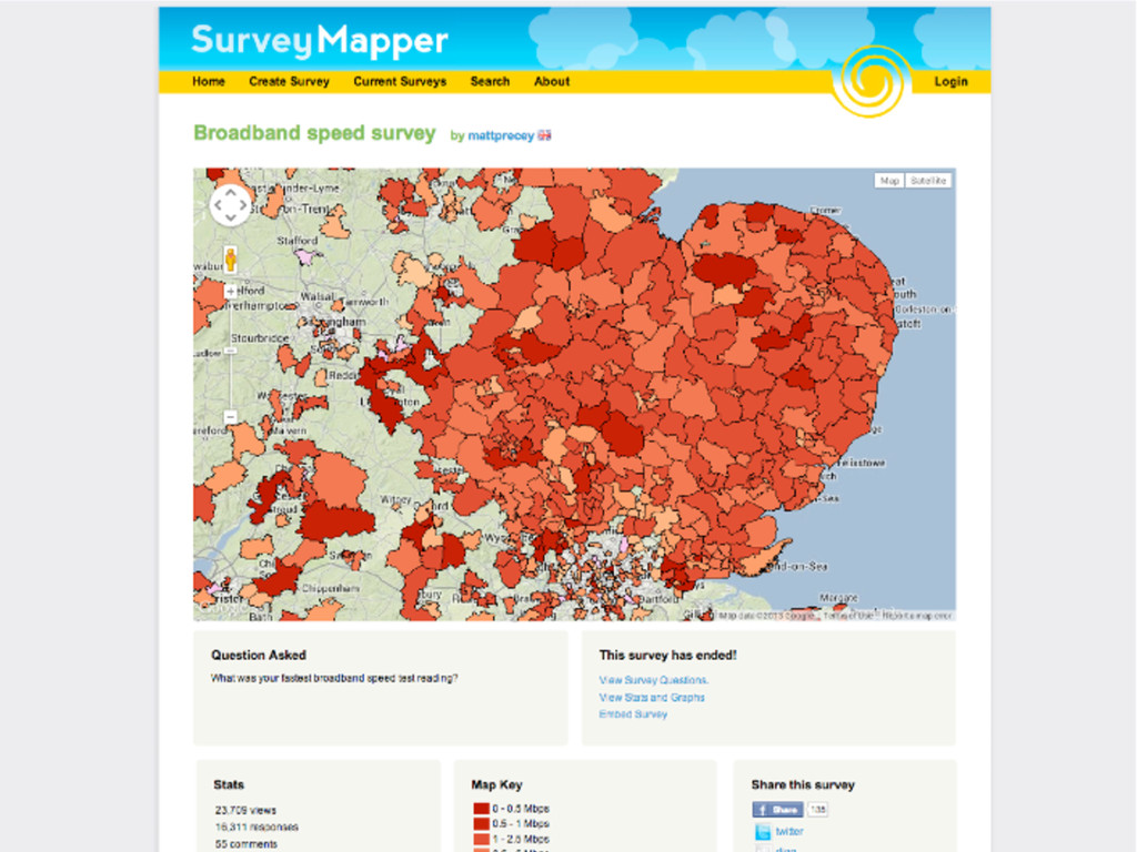
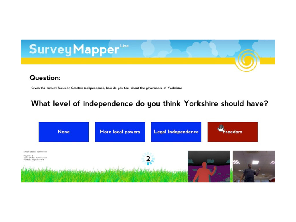
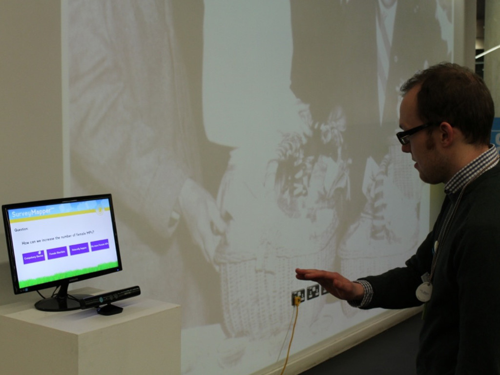
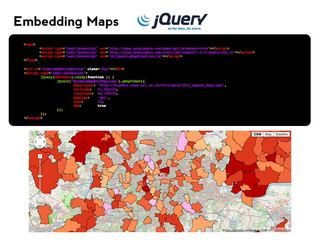
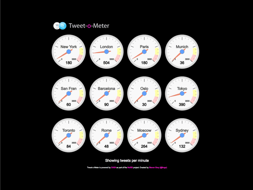
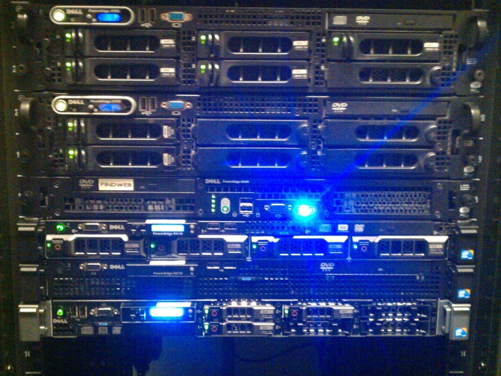
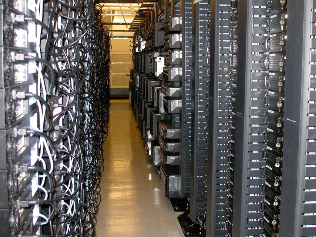
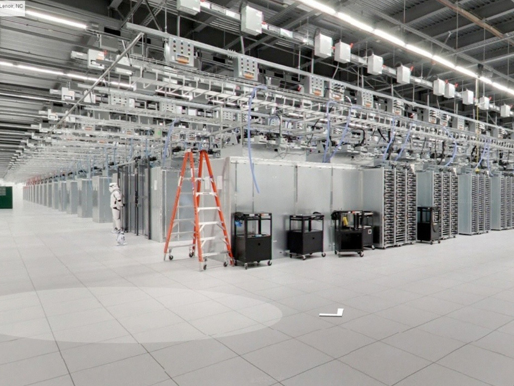
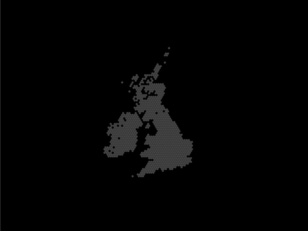
A talk I gave to delegates and startups on making mapping easier, We chatted about the power of using social media to work out your potential audience and using data analytics, and maps, to really tell a story about your data. The talk was given at Google Campus, Launchpad Event, London.

Steven Gray

May 02, 2014
Tweet

More Decks by Steven Gray

Other Decks in Programming

Transcript

  1. What’s in a map?
    Data, Maps and a funny accent!
    [email protected]
    Google Developer Expert
    +StevenGray

    View Slide

  2. View Slide

  3. View Slide

  4. Google Developer Experts
    https://developers.google.com/experts/members/

    View Slide

  5. Maps Live: Animated Ground Overlays and Weather with Google Maps SDK for iOS
    http://www.youtube.com/watch?v=bGVDeA0IB4E

    View Slide

  6. View Slide

  7. View Slide

  8. Maps of Lots of Pins

    View Slide

  9. View Slide

  10. View Slide

  11. http://xkcd.com/1138/

    View Slide

  12. MapTube

    View Slide

  13. How it works
    MapTubeD
    Data (.csv) Descriptor Style
    MapTubeD needs a set of 3 files on a web-accessible filesystem

    View Slide

  14. How it works
    MapTubeD
    Data (.csv) Descriptor Style
    The descriptor file points to the style file and the data file which tells
    the render system what to do next.

    View Slide

  15. How it works
    MapTubeD
    Data (.csv) Descriptor Style
    The style file tells the
    renderer how to colour
    the relevant sections

    View Slide

  16. How it works
    MapTubeD
    Data (.csv) Descriptor Style
    and the colour scale used
    for different thresholds
    of values.

    View Slide

  17. How it works
    MapTubeD
    Data (.csv) Descriptor Style
    We point our map to the tile servers giving
    the location of the descriptor

    View Slide

  18. How it works
    MapTubeD
    Data (.csv) Descriptor Style
    The system then renders the tiles as the map
    library running as the client requests them.

    View Slide

  19. MapTube Mobile

    View Slide

  20. View Slide

  21. View Slide

  22. View Slide

  23. View Slide

  24. Main Objectives
    !
    - One stop shop for mapping data.
    - Mapping your own data or other on-line data
    - Collection of data
    - Exporting our visualisations to GIS systems
    - Making Mapping so easy even a child can do it!
    !
    http://gemma.casa.ucl.ac.uk
    !

    View Slide

  25. View Slide

  26. Mobile Data Collector
    Collect anything you can think of!

    View Slide

  27. + =
    Embedding Maps
    Share your maps with the world

    View Slide

  28. Embedding Maps

    View Slide

  29. Embedding Maps

    View Slide

  30. Embedding Maps

    View Slide

  31. View Slide

  32. View Slide

  33. View Slide

  34. View Slide

  35. View Slide

  36. View Slide

  37. View Slide

  38. View Slide

  39. View Slide

  40. View Slide

  41. View Slide

  42. View Slide

  43. Thank you
    [email protected]
    Twitter: @frogo
    Google+: +StevenGray
    http://www.stevenjamesgray.com

    View Slide